Concord (/ˈkɒŋkərd/ KON-kerd) is the largest city in Contra Costa County, California. According to an estimate completed by the United States Census Bureau, the city had a population of 129,295 in 2019, making it the eighth largest city in the San Francisco Bay Area. Founded in 1869 as Todos Santos by Don Salvio Pacheco II, ... Read more
California Cities and Places
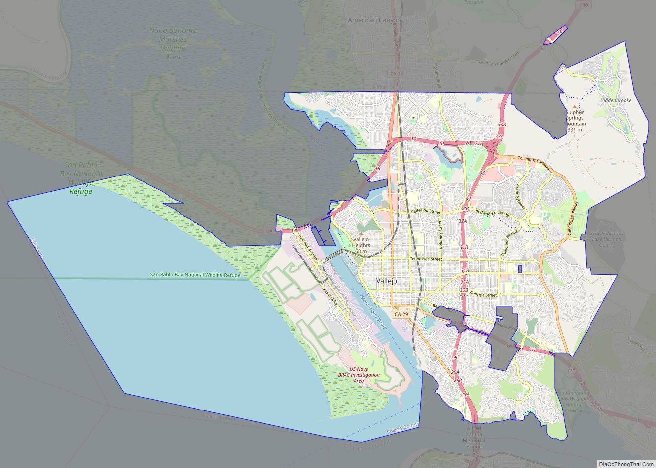
Vallejo (/vəˈleɪ(h)oʊ/ və-LAY-(h)oh; Spanish: [baˈʎexo]) is a city in Solano County, California and the second largest city in the North Bay region of the Bay Area. Located on the shores of San Pablo Bay, the city had a population of 126,090 at the 2020 census. Vallejo is home to the California Maritime Academy, Touro University California ... Read more
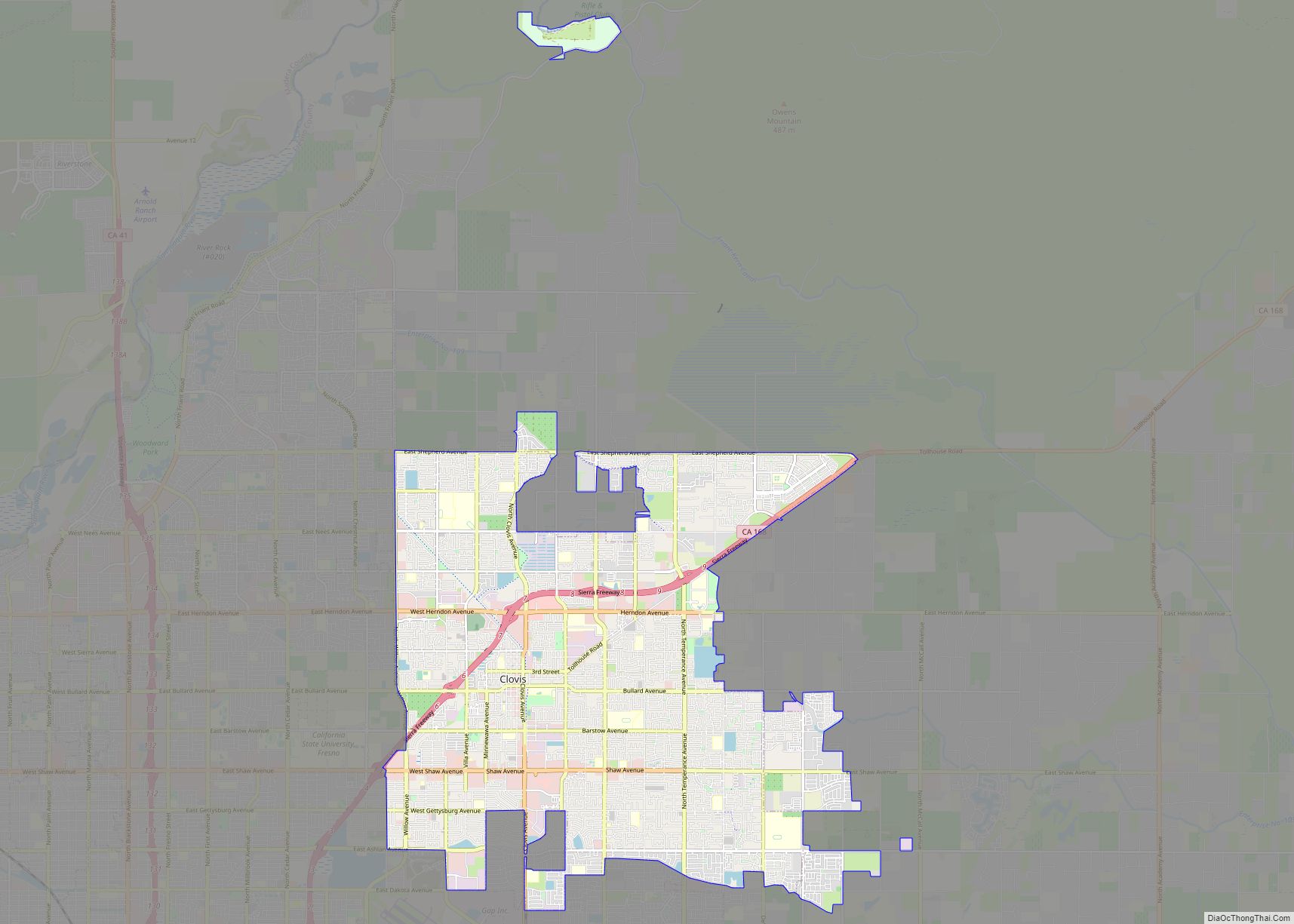
Clovis is a city in Fresno County, California, United States. Clovis was established in 1890 as a freight stop for the San Joaquin Valley Railroad by a group of Fresno businessmen and Michigan railroad speculator Marcus Pollasky. The railroad bought the land from two farmers and named the station after one of them, Clovis Cole. ... Read more
Fairfield is a city in and the county seat of Solano County, California, in the North Bay sub-region of the San Francisco Bay Area. It is generally considered the midpoint between the cities of San Francisco and Sacramento, approximately 40 miles (64 km) from the city center of each city, approximately 40 miles (64 km) from the ... Read more
Berkeley (/ˈbɜːrkli/ BURK-lee) is a city on the eastern shore of San Francisco Bay in northern Alameda County, California, United States. It is named after the 18th-century Anglo-Irish bishop and philosopher George Berkeley. It borders the cities of Oakland and Emeryville to the south and the city of Albany and the unincorporated community of Kensington ... Read more
Richmond is a city in western Contra Costa County, California, United States. The city was incorporated on August 7, 1905, and has a city council. Located in the San Francisco Bay Area’s East Bay region, Richmond borders San Pablo, Albany, El Cerrito and Pinole in addition to the unincorporated communities of North Richmond, Hasford Heights, ... Read more
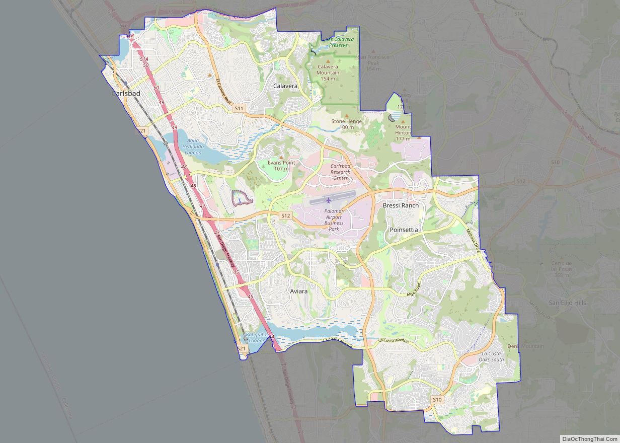
Carlsbad is a coastal city in the North County region of San Diego County, California, United States. The city is 87 miles (140 km) south of downtown Los Angeles and 35 miles (56 km) north of downtown San Diego. As of the 2020 census, the population of the city was 114,746. Carlsbad is a popular tourist destination ... Read more
Antioch is the third-largest city in Contra Costa County, California, United States. The city is located in the East Bay region of the San Francisco Bay Area along the Sacramento–San Joaquin River Delta. The city’s population was 115,291 at the 2020 census. The city has grown substantially more diverse since the 1970s. Antioch city overview: ... Read more
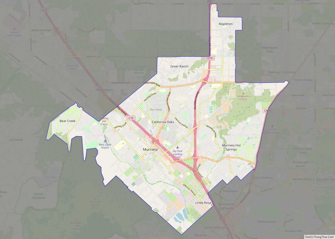
Murrieta /mjʊəriˈɛtə/ is a city in southwestern Riverside County, California, United States. The population of Murrieta was 110,949 as of the 2020 census. Murrieta experienced a 133.7% population increase between 2000 and 2010, making Murrieta one of the fastest-growing cities in the state during that period. Largely residential in character, Murrieta is typically characterized as ... Read more
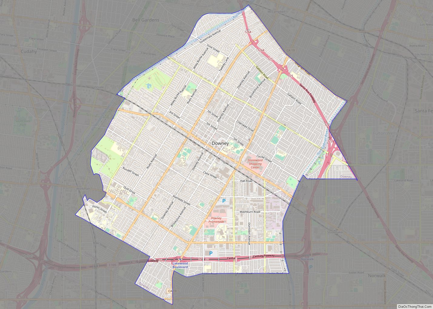
Downey is a city located in Southeast Los Angeles County, California, United States, 13 mi (21 km) southeast of Downtown Los Angeles. It is considered part of the Gateway Cities. The city is the birthplace of the Apollo space program. It is also the home of the oldest operating McDonald’s restaurant in the world. As of the ... Read more
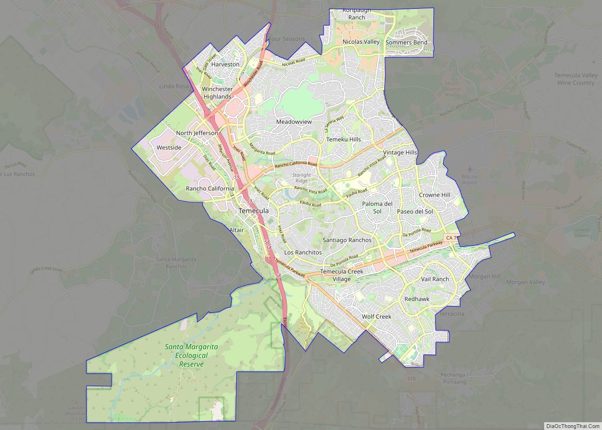
Temecula (/təˈmɛkjʊlə/; Spanish: Temécula, [te’mekula]; Luiseño: Temeekunga) is a city in southwestern Riverside County, California, United States. The city had a population of 110,003 as of the 2020 census and was incorporated on December 1, 1989. The city is a tourist and resort destination, with the Temecula Valley Wine Country, Old Town Temecula, the Temecula ... Read more
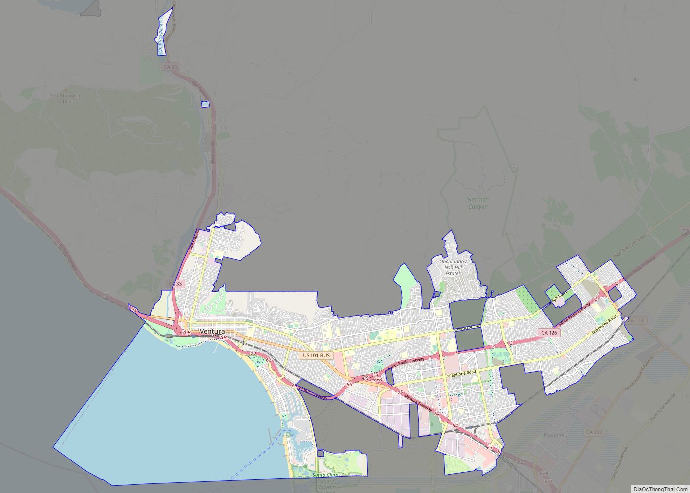
Ventura, officially named San Buenaventura (Spanish for “Saint Bonaventure”), is a city in and the county seat of Ventura County, California, United States. The population was 110,763 at the 2020 census. Ventura is a popular tourist destination, owing to its historic landmarks, beaches, and resorts. Ventura has been inhabited by different peoples, including the Chumash ... Read more

