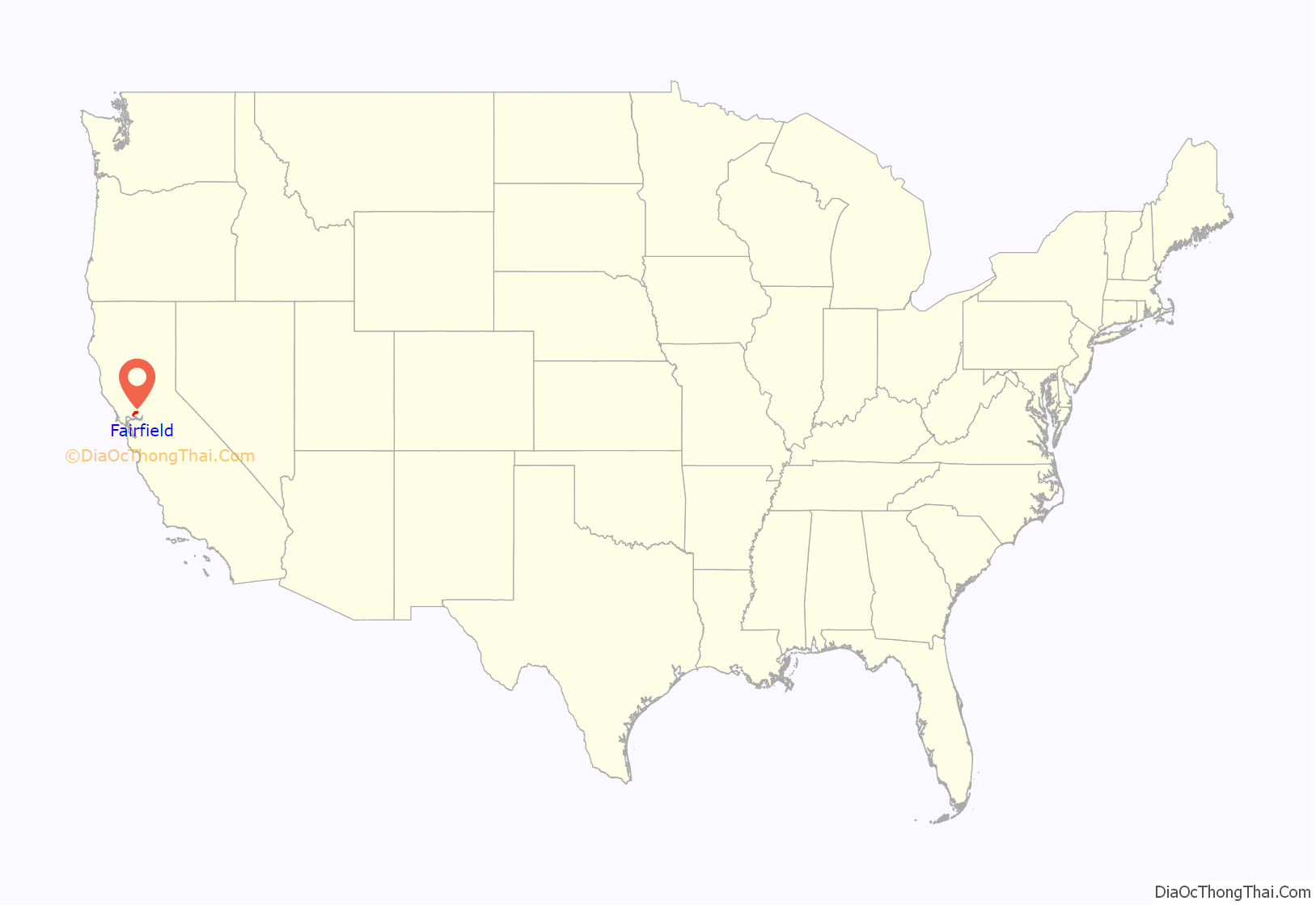
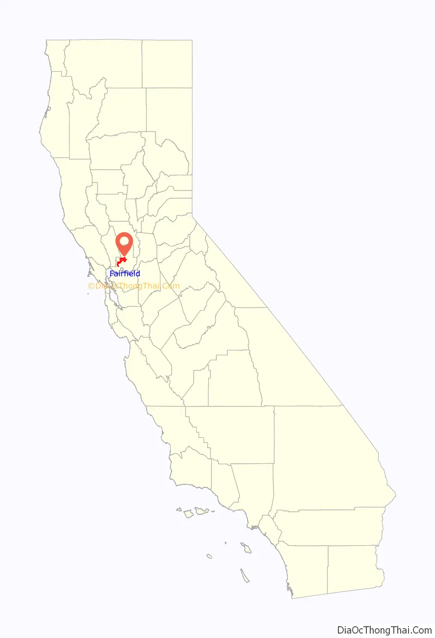
Fairfield is a city in and the county seat of Solano County, California, in the North Bay sub-region of the San Francisco Bay Area. It is generally considered the midpoint between the cities of San Francisco and Sacramento, approximately 40 miles (64 km) from the city center of each city, approximately 40 miles (64 km) from the city center of Oakland, less than 19 miles (31 km) from Napa Valley, 16 miles (26 km) from the Carquinez Bridge, and 14 miles (23 km) from the Benicia Bridge. Fairfield was founded in 1856 by clippership captain Robert H. Waterman, and named after his former hometown of Fairfield, Connecticut.
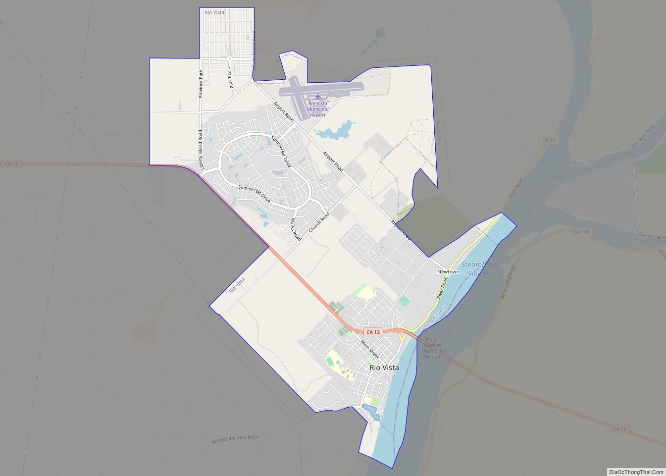
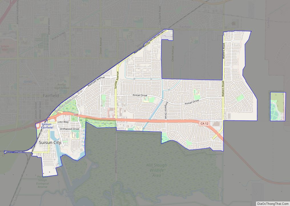
It is the home of Travis Air Force Base and the headquarters of Jelly Belly. With a population of 119,881 at the 2020 census, it is slightly smaller in population than Vallejo. Other nearby cities include Suisun City, Vacaville, Rio Vista, Benicia, and Napa.
| Name: | Fairfield city |
|---|---|
| LSAD Code: | 25 |
| LSAD Description: | city (suffix) |
| State: | California |
| County: | Solano County |
| Incorporated: | December 12, 1903 |
| Elevation: | 13 ft (4 m) |
| Total Area: | 41.39 sq mi (107.21 km²) |
| Land Area: | 41.14 sq mi (106.55 km²) |
| Water Area: | 0.26 sq mi (0.66 km²) 0.62% |
| Total Population: | 119,881 |
| Population Density: | 2,900/sq mi (1,100/km²) |
| ZIP code: | 94533–94535 |
| Area code: | 707 |
| FIPS code: | 0623182 |
| Website: | www.fairfield.ca.gov |
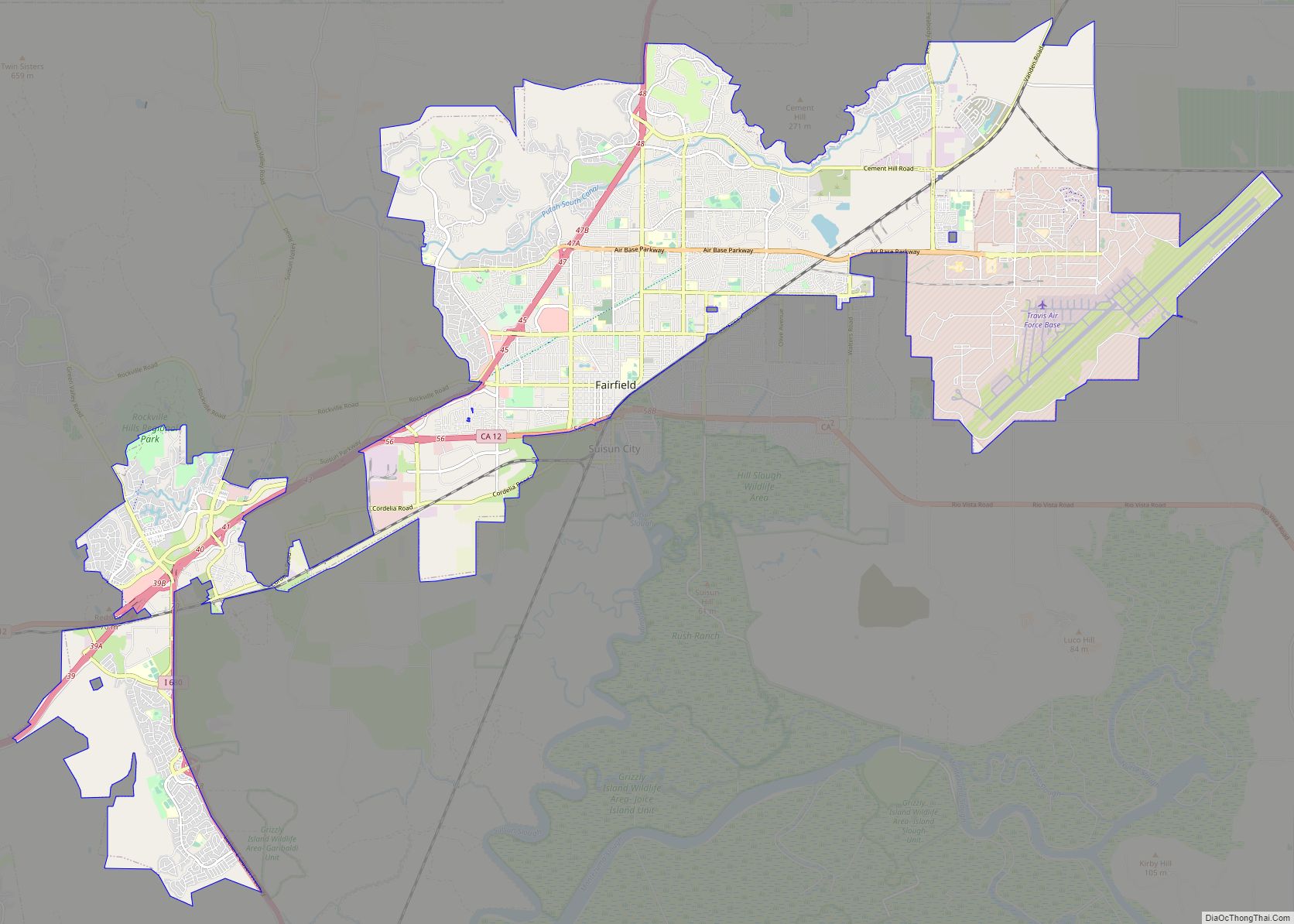
Online Interactive Map
Click on ![]() to view map in "full screen" mode.
to view map in "full screen" mode.
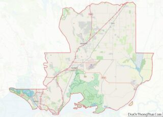
Fairfield location map. Where is Fairfield city?
History
According to the City of Fairfield website, Native Americans, such as those from the Ion culture, settled in the Rockville and Green Valley areas. Artifacts that have been found from some of the earliest human inhabitants of the Fairfield area are dated to be around five to six thousand years old, making them some of the oldest Native American settlements in Northern California.
The first European contact came in 1810 when the Spanish army was ordered to attack the Suisun Indians. In 1835, the Mexican General Vallejo was so magnanimous in victory over the Indian Chief Sem Yeto that the chief later became his ally in conflicts against other tribes. In 1837, the Indian Chief Solano received the Rancho Suisun Mexican land grant. This grant eventually came into the hands of a clipper ship captain from Fairfield, Connecticut named Robert H. Waterman. He not only parceled out the town in 1856, but also entered Fairfield in the race for Solano County seat in 1858, and won it from Benicia. As an inducement, he granted 16 acres (6.5 ha) of land for the construction of county buildings. In 1903, Fairfield was incorporated as a city.
In 1967, City Manager B. Gale Wilson directed the City to construct a new Civic Center, which was completed in 1971.
In August 2020, parts of Fairfield were evacuated due to the LNU Lighting Complex Fires, which resulted in the burning of over 315,000 acres (127,476 ha) in five counties, including in nearby Vacaville.
Fairfield Road Map

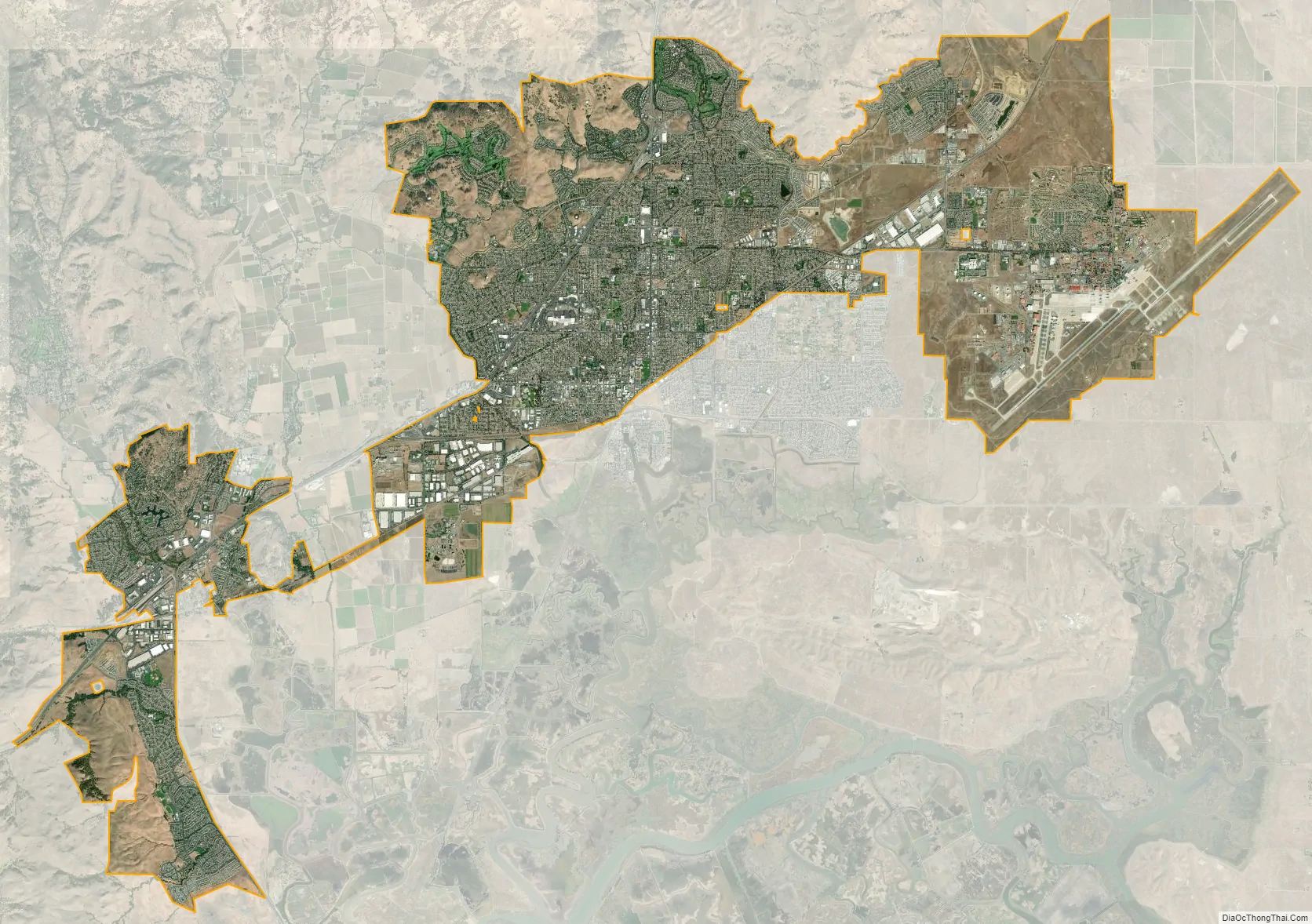
Fairfield city Satellite Map
Geography
According to the United States Census Bureau, the city has a total area of 37.6 square miles (97 km), of which, 34.4 square miles (89 km) of it is land and 3.2 square miles (8.3 km) of it is water. The total area is 5.65% water.
The city is located within the California Coastal Ranges. The city is centered directly north of the Suisun Bay and northeast of the San Pablo Bay. Much of the Suisun Bay contains the Suisun Marsh, the largest saltwater marsh on the west coast of the United States.
The city includes one hospital, NorthBay Medical Center, a 154-bed advanced medical facility that also features a level II Trauma Center.
Climate
Fairfield has a hot-summer Mediterranean climate (Köppen Csa). Summers have hot afternoons with cool nights with a lengthy dry period, whereas winters see frequent rainfall with mild to cool temperatures.
See also
Map of California State and its subdivision:- Alameda
- Alpine
- Amador
- Butte
- Calaveras
- Colusa
- Contra Costa
- Del Norte
- El Dorado
- Fresno
- Glenn
- Humboldt
- Imperial
- Inyo
- Kern
- Kings
- Lake
- Lassen
- Los Angeles
- Madera
- Marin
- Mariposa
- Mendocino
- Merced
- Modoc
- Mono
- Monterey
- Napa
- Nevada
- Orange
- Placer
- Plumas
- Riverside
- Sacramento
- San Benito
- San Bernardino
- San Diego
- San Francisco
- San Joaquin
- San Luis Obispo
- San Mateo
- Santa Barbara
- Santa Clara
- Santa Cruz
- Shasta
- Sierra
- Siskiyou
- Solano
- Sonoma
- Stanislaus
- Sutter
- Tehama
- Trinity
- Tulare
- Tuolumne
- Ventura
- Yolo
- Yuba
- Alabama
- Alaska
- Arizona
- Arkansas
- California
- Colorado
- Connecticut
- Delaware
- District of Columbia
- Florida
- Georgia
- Hawaii
- Idaho
- Illinois
- Indiana
- Iowa
- Kansas
- Kentucky
- Louisiana
- Maine
- Maryland
- Massachusetts
- Michigan
- Minnesota
- Mississippi
- Missouri
- Montana
- Nebraska
- Nevada
- New Hampshire
- New Jersey
- New Mexico
- New York
- North Carolina
- North Dakota
- Ohio
- Oklahoma
- Oregon
- Pennsylvania
- Rhode Island
- South Carolina
- South Dakota
- Tennessee
- Texas
- Utah
- Vermont
- Virginia
- Washington
- West Virginia
- Wisconsin
- Wyoming