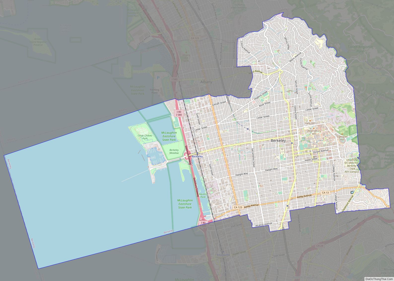
Berkeley (/ˈbɜːrkli/ BURK-lee) is a city on the eastern shore of San Francisco Bay in northern Alameda County, California, United States. It is named after the 18th-century Anglo-Irish bishop and philosopher George Berkeley. It borders the cities of Oakland and Emeryville to the south and the city of Albany and the unincorporated community of Kensington to the north. Its eastern border with Contra Costa County generally follows the ridge of the Berkeley Hills. The 2020 census recorded a population of 124,321.
Berkeley is home to the oldest campus in the University of California, the University of California, Berkeley, and the Lawrence Berkeley National Laboratory, which is managed and operated by the university. It also has the Graduate Theological Union, one of the largest religious studies institutions in the world. Berkeley is considered one of the most socially progressive cities in the United States.
| Name: | Berkeley city |
|---|---|
| LSAD Code: | 25 |
| LSAD Description: | city (suffix) |
| State: | California |
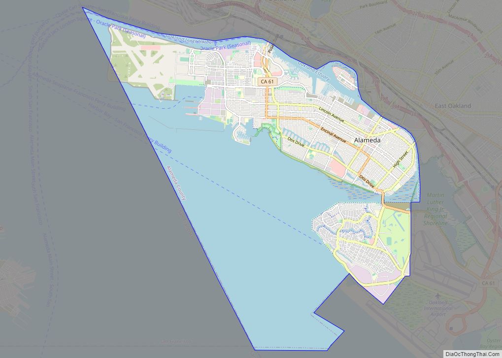
| County: | Alameda County |
| Incorporated: | April 4, 1878 |
| Elevation: | 171 ft (52 m) |
| Total Area: | 17.66 sq mi (45.73 km²) |
| Land Area: | 10.43 sq mi (27.02 km²) |
| Water Area: | 7.22 sq mi (18.71 km²) 40.83% |
| Total Population: | 124,321 |
| Population Density: | 11,917.27/sq mi (4,601.36/km²) |
| Area code: | 510, 341 |
| FIPS code: | 0606000 |
| Website: | berkeleyca.gov |
Online Interactive Map
Click on ![]() to view map in "full screen" mode.
to view map in "full screen" mode.
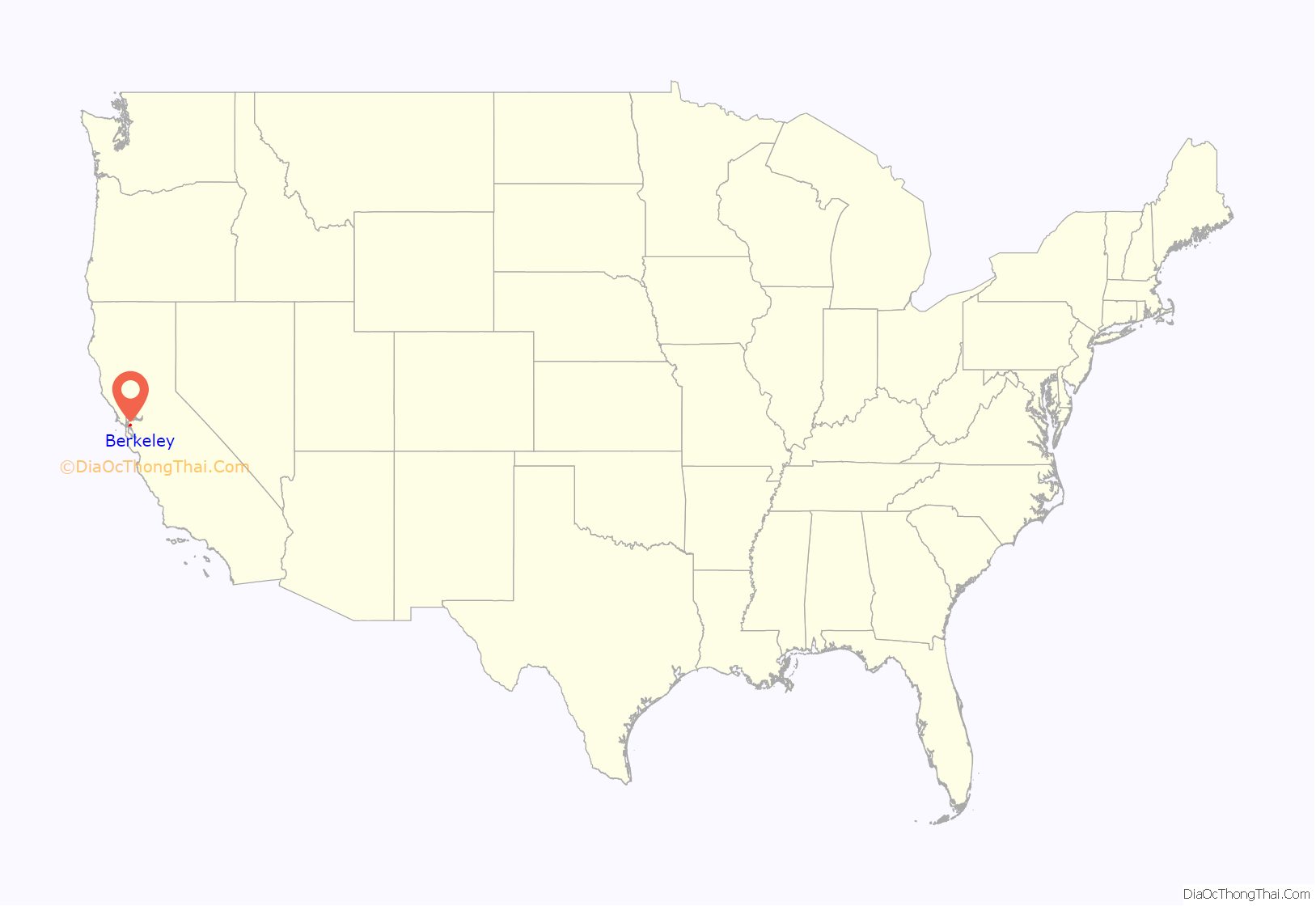
Berkeley location map. Where is Berkeley city?

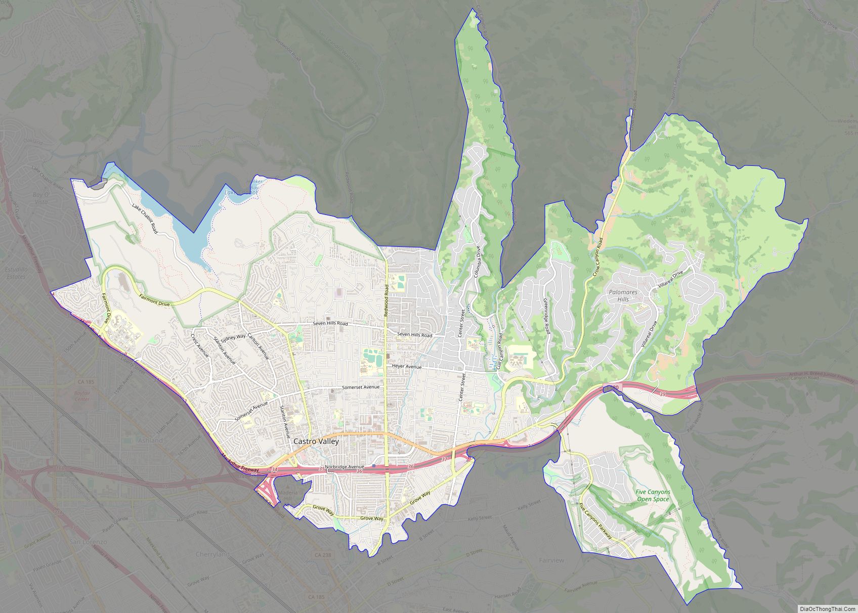
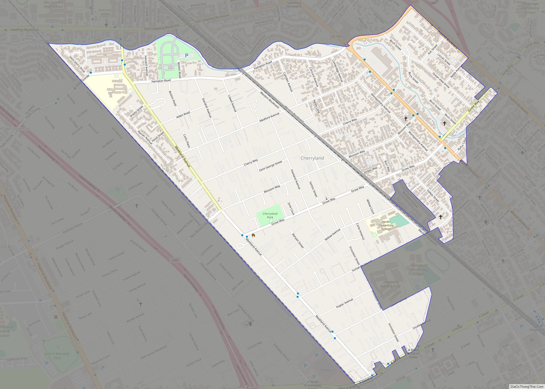
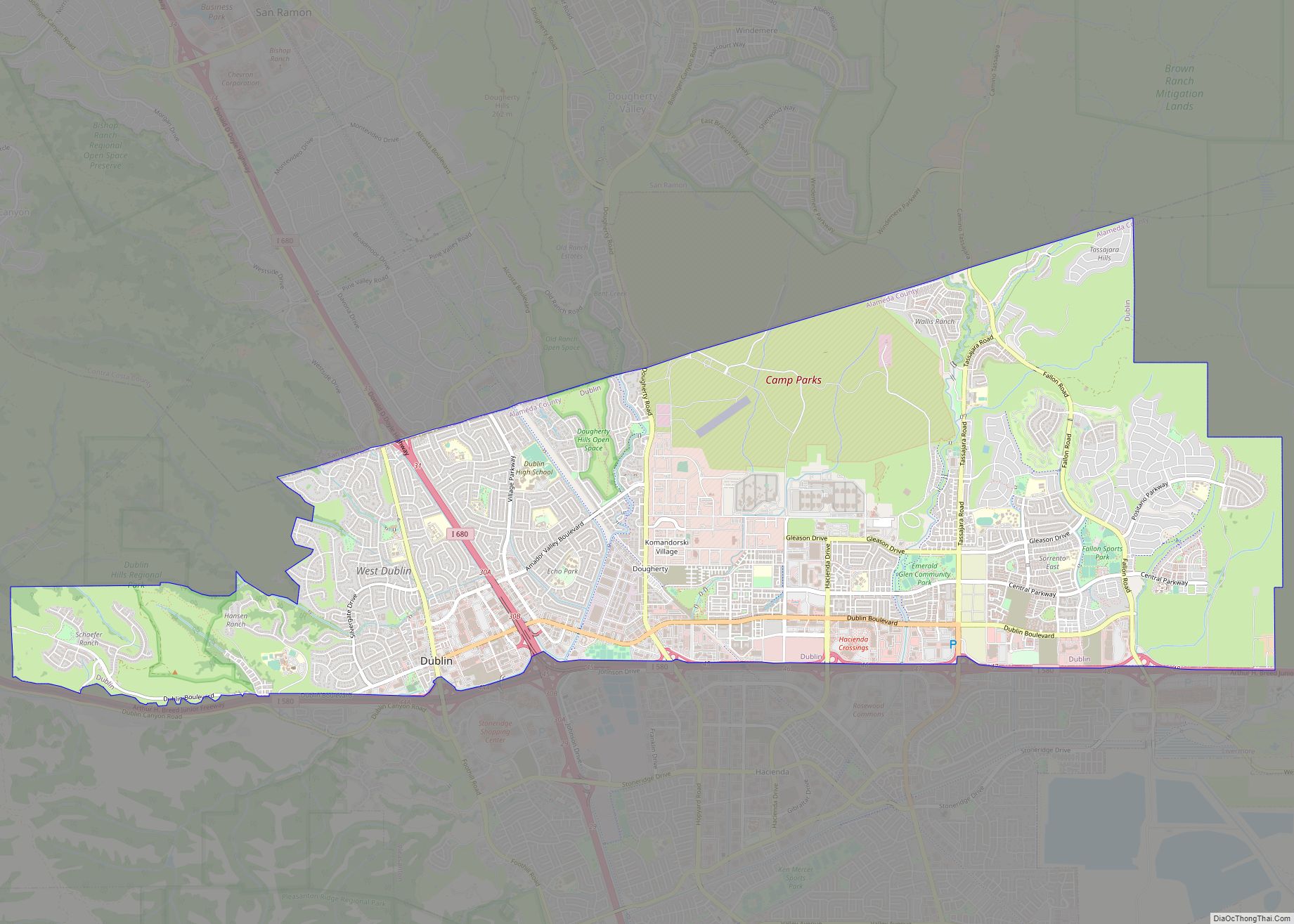
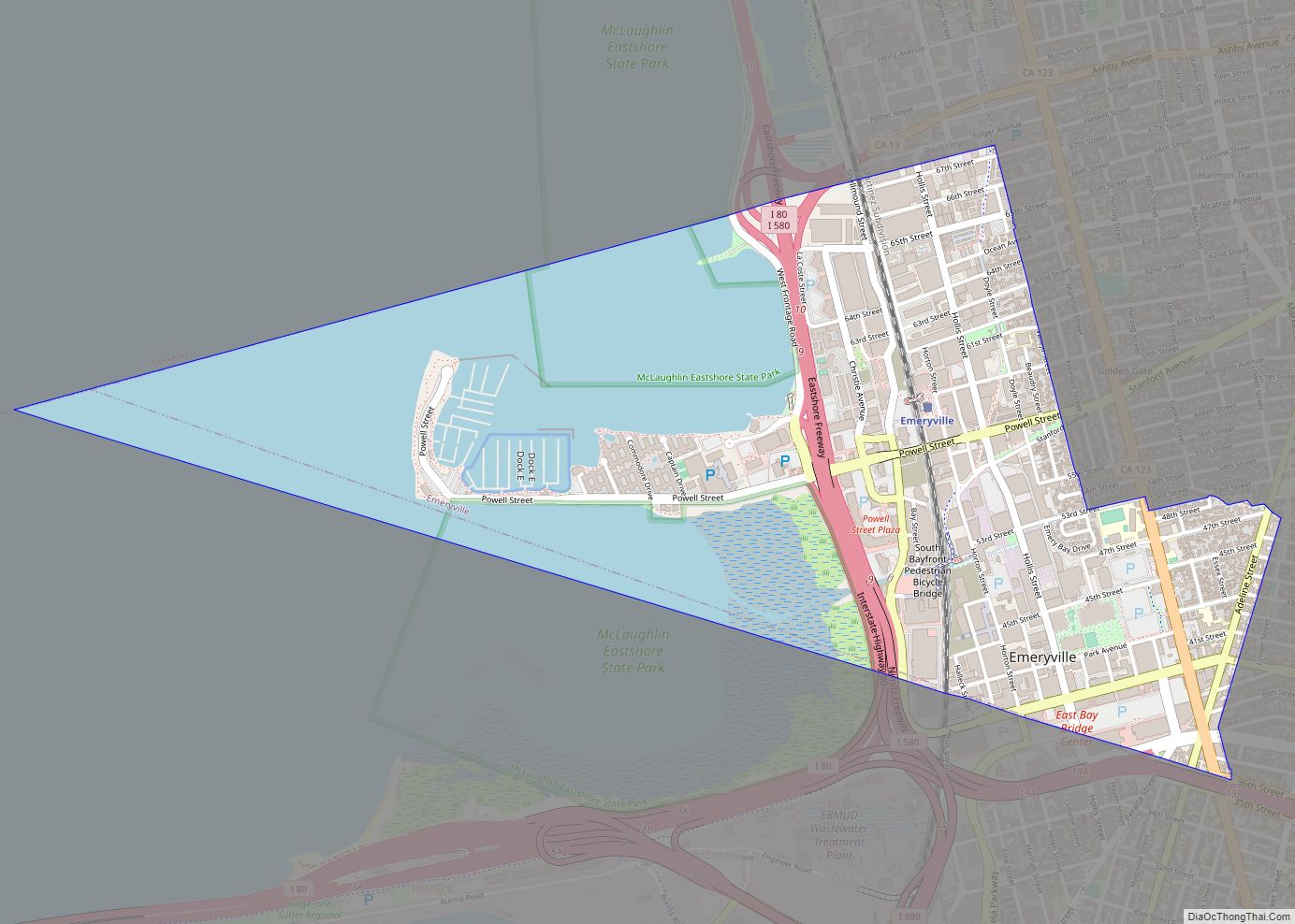
Berkeley Road Map
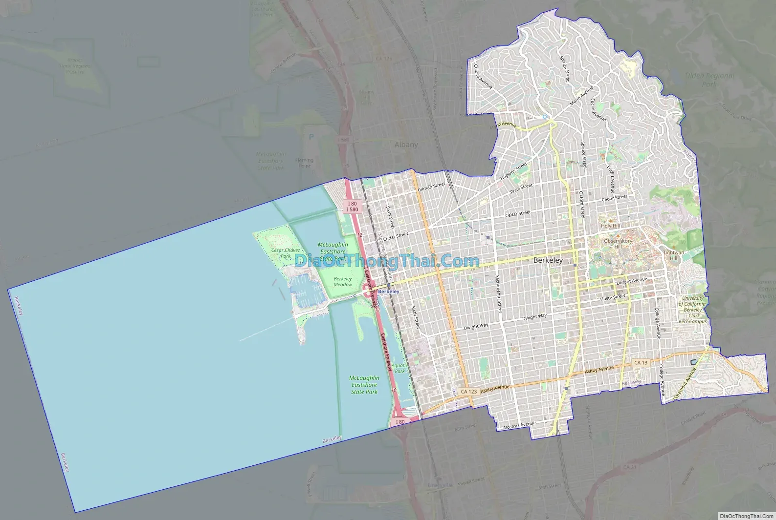
Berkeley city Satellite Map

Geography
Berkeley is located at 37°52′18″N 122°16′29″W / 37.87167°N 122.27472°W / 37.87167; -122.27472 (37.871775, −122.274603).
According to the United States Census Bureau, the city’s 17.7-square-mile (46 km) area includes 10.5 square miles (27 km) of land and 7.2 square miles (19 km) (40.83%) water, most of it part of San Francisco Bay.
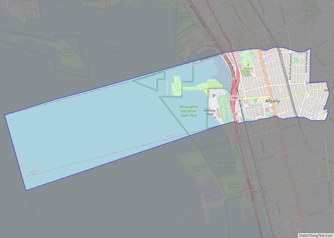
Berkeley borders the cities of Albany, Oakland, and Emeryville and Contra Costa County, including unincorporated Kensington, as well as San Francisco Bay.
Berkeley lies within telephone area code 510 (until September 2, 1991, Berkeley was part of the 415 telephone code that now covers only San Francisco and Marin counties), and the postal ZIP codes are 94701 through 94710, 94712, and 94720 for the University of California campus.
Geology
Most of Berkeley lies on a rolling sedimentary plain that rises gently from sea level to the base of the Berkeley Hills. East of the Hayward Fault along the base of the hills, elevation increases more rapidly. The highest peak along the ridge line above Berkeley is Grizzly Peak, at an elevation of 1,754 feet (535 m). A number of small creeks run from the hills to the Bay through Berkeley: Cerrito, Codornices, Schoolhouse and Strawberry Creeks are the principal streams. Most of these are largely culverted once they reach the plain west of the hills.
The Berkeley Hills are part of the Pacific Coast Ranges, and run in a northwest–southeast alignment. Exposed in the Berkeley Hills are cherts and shales of the Claremont Formation (equivalent to the Monterey Formation), conglomerate and sandstone of the Orinda Formation and lava flows of the Moraga Volcanics. Of similar age to the Moraga Volcanics (extinct), within the Northbrae neighborhood of Berkeley, are outcroppings of erosion resistant rhyolite. These rhyolite formations can be seen in several city parks and in the yards of a number of private residences. Indian Rock Park in the northeastern part of Berkeley near the Arlington/Marin Circle features a large example.
Berkeley is traversed by the Hayward Fault Zone, a major branch of the San Andreas Fault to the west. No large earthquake has occurred on the Hayward Fault near Berkeley in historic times (except possibly in 1836), but seismologists warn about the geologic record of large temblors several times in the deeper past. The current assessment is that a Bay Area earthquake of magnitude 6.7 or greater within the next 30 years is likely, with the Hayward Fault having the highest likelihood among faults in the Bay Area of being the epicenter. Moreover, like much of the Bay Area, Berkeley has many areas of some risk to soil liquefaction, with the flat areas closer to the shore at low to high susceptibility.
The 1868 Hayward earthquake did occur on the southern segment of the Hayward Fault in the vicinity of today’s city of Hayward. This quake destroyed the county seat of Alameda County then located in San Leandro and it subsequently moved to Oakland. It was strongly felt in San Francisco, causing major damage. It was regarded as the “Great San Francisco earthquake” prior to 1906. It produced a furrow in the ground along the fault line in Berkeley, across the grounds of the new State Asylum for the Deaf, Dumb and Blind then under construction, which was noted by one early University of California professor. Although no significant damage was reported to most of the few Berkeley buildings of the time, the 1868 quake did destroy the vulnerable adobe home of Domingo Peralta in north Berkeley.
Today, evidence of the Hayward Fault’s “creeping” is visible at various locations in Berkeley. Cracked roadways, sharp jogs in streams, and springs mark the fault’s path. However, since it cuts across the base of the hills, the creep is often concealed by or confused with slide activity. Some of the slide activity itself, however, results from movement on the Hayward Fault.
A notorious segment of the Hayward Fault runs lengthwise down the middle of Memorial Stadium at the mouth of Strawberry Canyon on the University of California campus. Photos and measurements show the movement of the fault through the stadium.
Climate
Berkeley has a warm-summer Mediterranean climate (Csb in the Köppen climate classification), with warm, dry summers and cool, wet winters. Berkeley’s location directly opposite the Golden Gate ensures that typical eastward fog flow blankets the city more often than its neighbors. The summers are cooler than a typical Mediterranean climate thanks to upwelling ocean currents along the California coast. These help produce cool and foggy nights and mornings.
Winter is punctuated with rainstorms of varying ferocity and duration, but also produces stretches of bright sunny days and clear cold nights. It does not normally snow, though occasionally the hilltops get a dusting. Spring and fall are transitional and intermediate, with some rainfall and variable temperature. Summer typically brings night and morning low clouds or fog, followed by sunny, warm days. The warmest and driest months are typically June through September, with the highest temperatures occurring in September. Mid-summer (July–August) is often a bit cooler due to the sea breezes and fog common then.
In a year, there are an average of 2.9 days with highs of 90 °F (32 °C) or higher, and an average of 0.8 days with lows of 32 °F (0 °C) or lower. The highest recorded temperature was 107 °F (42 °C) on June 15, 2000, and July 16, 1993, and the lowest recorded temperature was 24 °F (−4 °C) on December 22, 1990.
February is normally the wettest month, averaging 5.21 inches (132 mm) of precipitation. Average annual precipitation is 25.40 inches (645 mm), falling on an average of 63.7 days each year. The most rainfall in one month was 14.49 inches (368 mm) in February 1998. The most rainfall in 24 hours was 6.98 inches (177 mm) on January 4, 1982. As in most of California, the heaviest rainfall years are usually associated with warm water El Niño episodes in the Pacific (e.g., 1982–83; 1997–98), which bring in drenching “pineapple express” storms. In contrast, dry years are often associated with cold Pacific La Niña episodes. Light snow has fallen on rare occasions. Snow has generally fallen every several years on the higher peaks of the Berkeley Hills.
In the late spring and early fall, strong offshore winds of sinking air typically develop, bringing heat and dryness to the area. In the spring, this is not usually a problem as vegetation is still moist from winter rains, but extreme dryness prevails by the fall, creating a danger of wildfires. In September 1923 a major fire swept through the neighborhoods north of the university campus, stopping just short of downtown. (See 1923 Berkeley fire). On October 20, 1991, gusty, hot winds fanned a conflagration along the Berkeley–Oakland border, killing 25 people and injuring 150, as well as destroying 2,449 single-family dwellings and 437 apartment and condominium units. (See 1991 Oakland firestorm)
See also
Map of California State and its subdivision:- Alameda
- Alpine
- Amador
- Butte
- Calaveras
- Colusa
- Contra Costa
- Del Norte
- El Dorado
- Fresno
- Glenn
- Humboldt
- Imperial
- Inyo
- Kern
- Kings
- Lake
- Lassen
- Los Angeles
- Madera
- Marin
- Mariposa
- Mendocino
- Merced
- Modoc
- Mono
- Monterey
- Napa
- Nevada
- Orange
- Placer
- Plumas
- Riverside
- Sacramento
- San Benito
- San Bernardino
- San Diego
- San Francisco
- San Joaquin
- San Luis Obispo
- San Mateo
- Santa Barbara
- Santa Clara
- Santa Cruz
- Shasta
- Sierra
- Siskiyou
- Solano
- Sonoma
- Stanislaus
- Sutter
- Tehama
- Trinity
- Tulare
- Tuolumne
- Ventura
- Yolo
- Yuba
- Alabama
- Alaska
- Arizona
- Arkansas
- California
- Colorado
- Connecticut
- Delaware
- District of Columbia
- Florida
- Georgia
- Hawaii
- Idaho
- Illinois
- Indiana
- Iowa
- Kansas
- Kentucky
- Louisiana
- Maine
- Maryland
- Massachusetts
- Michigan
- Minnesota
- Mississippi
- Missouri
- Montana
- Nebraska
- Nevada
- New Hampshire
- New Jersey
- New Mexico
- New York
- North Carolina
- North Dakota
- Ohio
- Oklahoma
- Oregon
- Pennsylvania
- Rhode Island
- South Carolina
- South Dakota
- Tennessee
- Texas
- Utah
- Vermont
- Virginia
- Washington
- West Virginia
- Wisconsin
- Wyoming