Concord (/ˈkɒŋkərd/ KON-kerd) is the largest city in Contra Costa County, California. According to an estimate completed by the United States Census Bureau, the city had a population of 129,295 in 2019, making it the eighth largest city in the San Francisco Bay Area. Founded in 1869 as Todos Santos by Don Salvio Pacheco II, a noted Californio ranchero, the name was later changed to Concord. The city is a major regional suburban East Bay center within the San Francisco Bay Area, and is 29 miles (47 kilometers) east of San Francisco.
The United States Census Bureau defines an urban area in the East Bay which is separated from the San Francisco–Oakland urban area and with Concord as the principal city: the Concord–Walnut Creek, CA urban area had a population of 538,583 as of the 2020 census, making it the 80th largest in the United States.
| Name: | Concord city |
|---|---|
| LSAD Code: | 25 |
| LSAD Description: | city (suffix) |
| State: | California |
| County: | Contra Costa County |
| Incorporated: | February 8, 1905 |
| Elevation: | 75 ft (23 m) |
| Land Area: | 30.55 sq mi (79.13 km²) |
| Water Area: | 0.00 sq mi (0.00 km²) 0% |
| Population Density: | 4,104.67/sq mi (1,584.85/km²) |
| Area code: | 925 |
| FIPS code: | 0616000 |
Online Interactive Map
Click on ![]() to view map in "full screen" mode.
to view map in "full screen" mode.
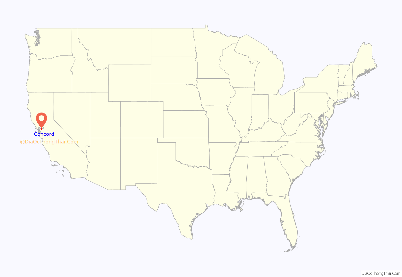
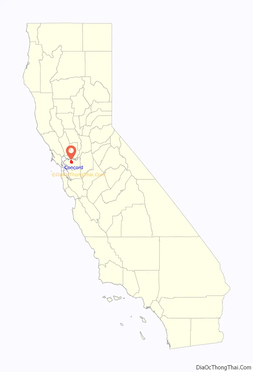
Concord location map. Where is Concord city?
History
The valleys north of Mount Diablo were inhabited by the Miwok people, who hunted elk and fished in the numerous streams flowing from the mountain into the San Francisco Bay. It is important to note Miwok and other indigenous people still live within city limits. In 1772, Spanish explorers began to cross the area but did not settle there. In 1834, the Mexican land grant Rancho Monte del Diablo at the base of Mount Diablo was granted to Salvio Pacheco (for whom the nearby town of Pacheco is named).
Concord was founded under the name of Todos Santos (“all saints”; a name still borne by the central city plaza and park between Willow Pass Road and Salvio Street), on the initiative of Pacheco in 1869. It achieved prominence in the 19th century, when most residents of Pacheco relocated to Concord to avoid the devastation of fire and flood which crippled Pacheco’s formerly booming economy. Concord was incorporated on February 5, 1905.
The area around Concord in the surrounding Ygnacio and Clayton Valleys was a large agricultural area. Crops that were grown included grapes, walnuts, almonds, wheat, hay, and even tomatoes. The area to the east (now the site of the Concord Naval Weapons Station) was the site of a few enormous wheat ranches over 5,000 acres (20 km), and was almost a sea of wheat all the way to the marshes bordering Suisun Bay. During Prohibition, many vineyards were removed and replaced with walnut orchards. The town of Cowell, now incorporated into Concord, produced cement.
The first Concord post office opened in 1872.
Port Chicago disaster
The munitions on board a Navy cargo ship exploded while being loaded during World War II, resulting in the largest number of casualties among African Americans in any one incident during that war. On the evening of July 17, 1944, a massive explosion instantly killed 320 sailors, merchant seamen, and civilians working at the pier. The blast was felt 30 miles (48 km) away. A subsequent refusal by 258 black sailors to load any more ammunition was the beginning of the Navy’s largest-ever mutiny trial, in which 50 men were found guilty. Future Supreme Court Justice Thurgood Marshall sat in on most of the proceedings and declared that he saw a prejudiced court.
Concord Road Map
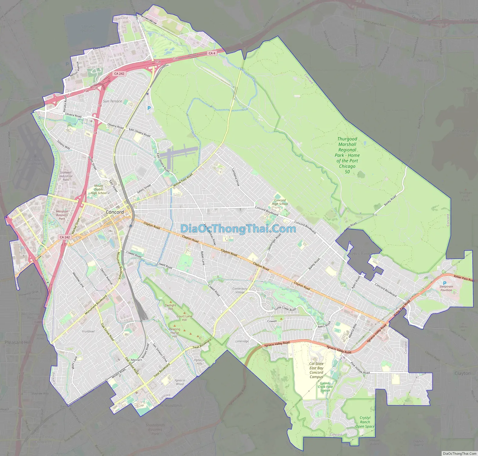
Concord city Satellite Map

Geography
Concord is located at 37°58′41″N 122°01′52″W / 37.97806°N 122.03111°W / 37.97806; -122.03111. It is 29 miles (47 km) northeast of San Francisco, 22 miles (35 km) northeast from Oakland, 65 miles (105 km) southwest of Sacramento, and 51 miles (82 km) north of San Jose.
According to the United States Census Bureau, the city has a total area of 30.5 square miles (79 km), all of it land.
The focal point of downtown Concord is Todos Santos Plaza, which encompasses an entire city block and is known for its farmers market, free summer concerts, and large number of surrounding restaurants. Much of the area immediately around downtown has recently been redeveloped, with new high-density apartment and condominium projects to take advantage of the proximity to public transportation and to the area surrounding the park. Despite this, some crime and homelessness remain issues in the downtown area.
To the north and east of downtown is the older residential area of Concord, with many homes dating back to before World War II. In the far northern edge of town is a primarily industrial area, dominated by the Tesoro Golden Eagle Refinery (which is actually not located within city limits). The southeastern area of the city, centered along Clayton Road, is primarily residential and was mostly developed in the 1960s and 1970s. In the southwest area of the city is the primarily Latino neighborhood known as Four Corners, centered around the intersection of Monument Boulevard and Oak Grove Road.
Concord is bordered on the west by Pleasant Hill and the unincorporated community of Pacheco, on the south by Walnut Creek, on the southeast by Clayton, on the northeast by Pittsburg and the unincorporated community of Bay Point, and on the north by the unincorporated community of Clyde. Although it shares no border with Concord, Martinez (the county seat) is located almost immediately adjacent to Concord on the northwest. The North Concord BART station is also known as Martinez BART.
See also
Map of California State and its subdivision:- Alameda
- Alpine
- Amador
- Butte
- Calaveras
- Colusa
- Contra Costa
- Del Norte
- El Dorado
- Fresno
- Glenn
- Humboldt
- Imperial
- Inyo
- Kern
- Kings
- Lake
- Lassen
- Los Angeles
- Madera
- Marin
- Mariposa
- Mendocino
- Merced
- Modoc
- Mono
- Monterey
- Napa
- Nevada
- Orange
- Placer
- Plumas
- Riverside
- Sacramento
- San Benito
- San Bernardino
- San Diego
- San Francisco
- San Joaquin
- San Luis Obispo
- San Mateo
- Santa Barbara
- Santa Clara
- Santa Cruz
- Shasta
- Sierra
- Siskiyou
- Solano
- Sonoma
- Stanislaus
- Sutter
- Tehama
- Trinity
- Tulare
- Tuolumne
- Ventura
- Yolo
- Yuba
- Alabama
- Alaska
- Arizona
- Arkansas
- California
- Colorado
- Connecticut
- Delaware
- District of Columbia
- Florida
- Georgia
- Hawaii
- Idaho
- Illinois
- Indiana
- Iowa
- Kansas
- Kentucky
- Louisiana
- Maine
- Maryland
- Massachusetts
- Michigan
- Minnesota
- Mississippi
- Missouri
- Montana
- Nebraska
- Nevada
- New Hampshire
- New Jersey
- New Mexico
- New York
- North Carolina
- North Dakota
- Ohio
- Oklahoma
- Oregon
- Pennsylvania
- Rhode Island
- South Carolina
- South Dakota
- Tennessee
- Texas
- Utah
- Vermont
- Virginia
- Washington
- West Virginia
- Wisconsin
- Wyoming


