Vallejo (/vəˈleɪ(h)oʊ/ və-LAY-(h)oh; Spanish: [baˈʎexo]) is a city in Solano County, California and the second largest city in the North Bay region of the Bay Area. Located on the shores of San Pablo Bay, the city had a population of 126,090 at the 2020 census. Vallejo is home to the California Maritime Academy, Touro University California and Six Flags Discovery Kingdom.
Vallejo is named after Mariano Guadalupe Vallejo, the famed Californio general and statesman. The city was founded in 1851 on General Vallejo’s Rancho Suscol to serve as the capital city of California, which it served as from 1852 until 1853, when the Californian government moved to neighboring Benicia, named in honor of General Vallejo’s wife Benicia Carrillo de Vallejo. The following year in 1854, authorities founded the Mare Island Naval Shipyard, which defined Vallejo’s economy until the turn of the 21st century.
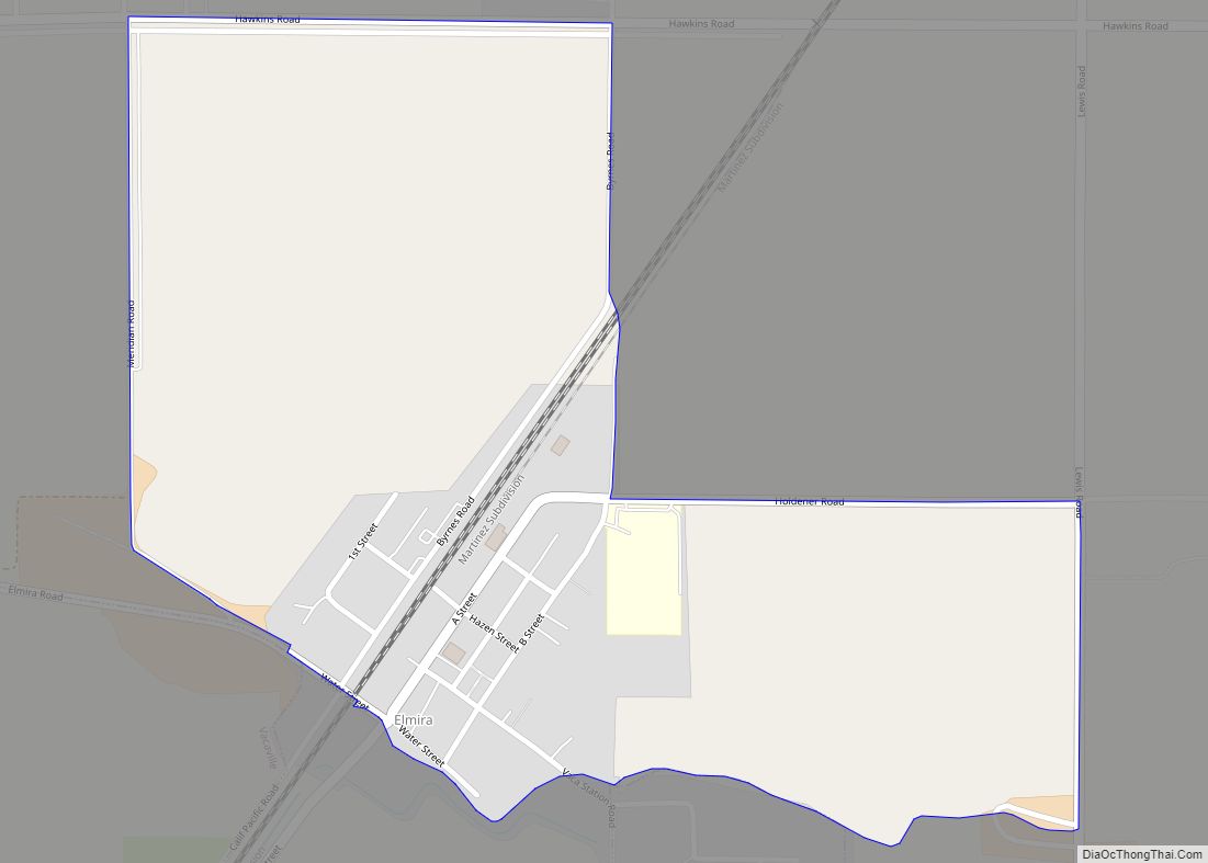
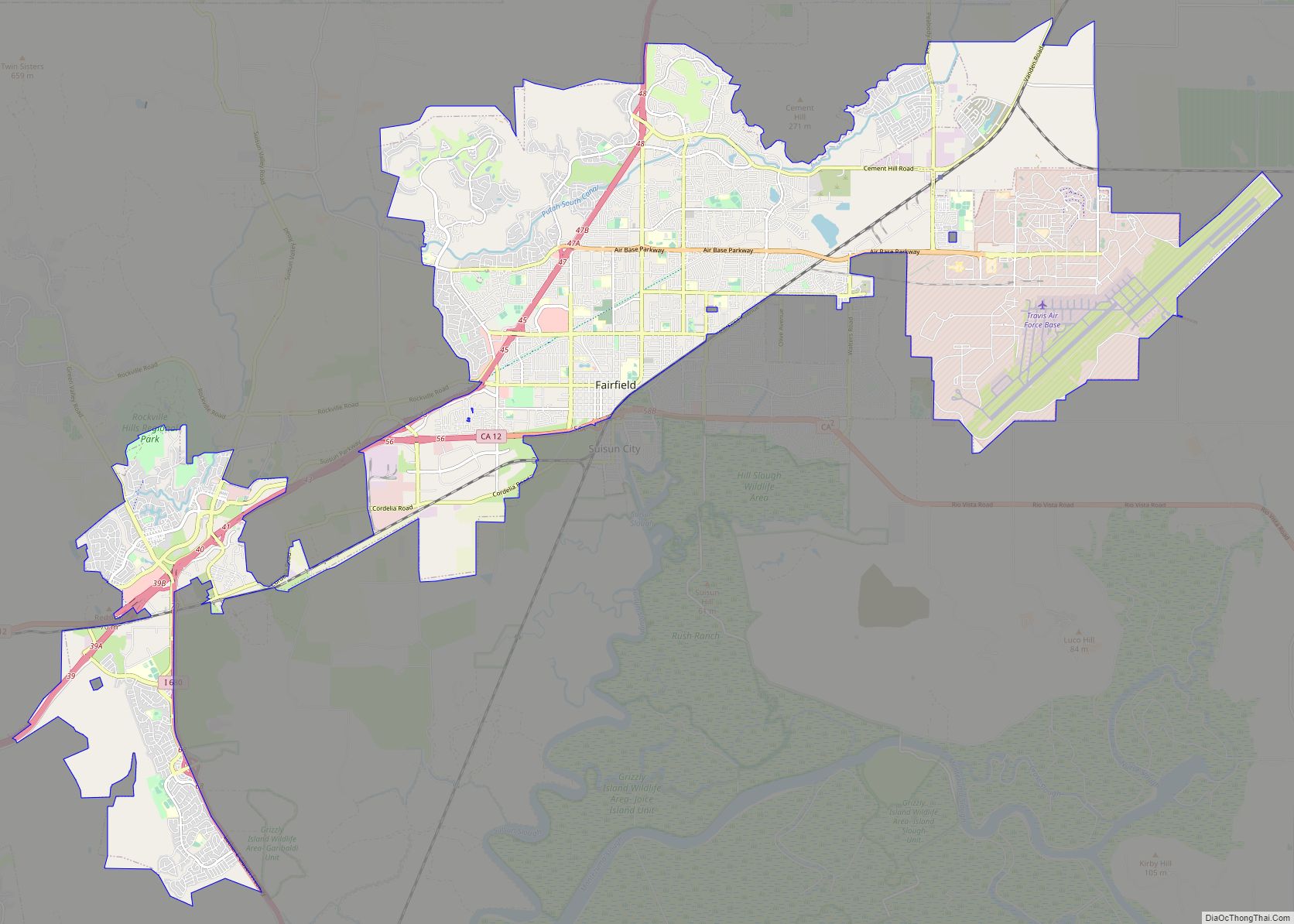
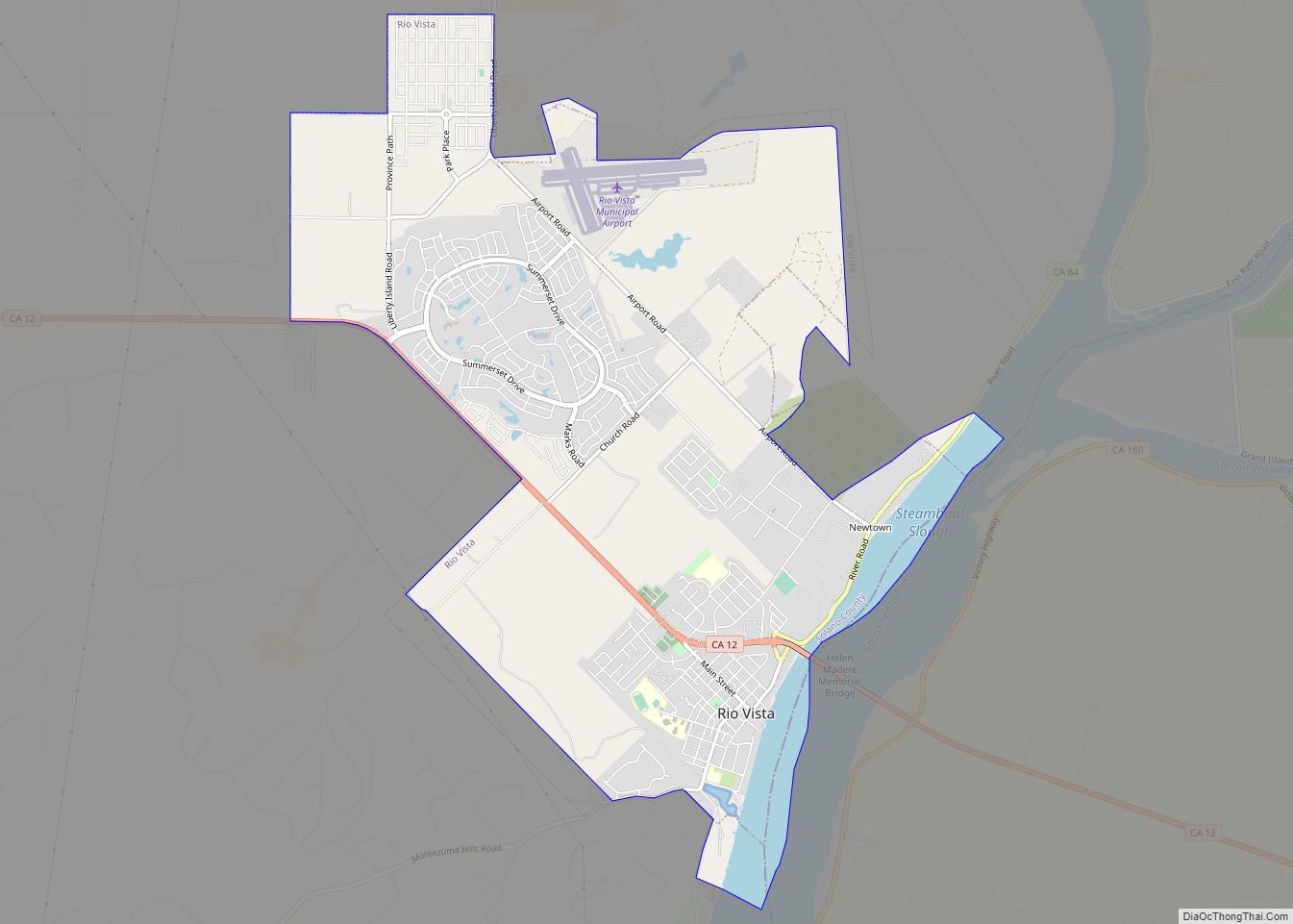
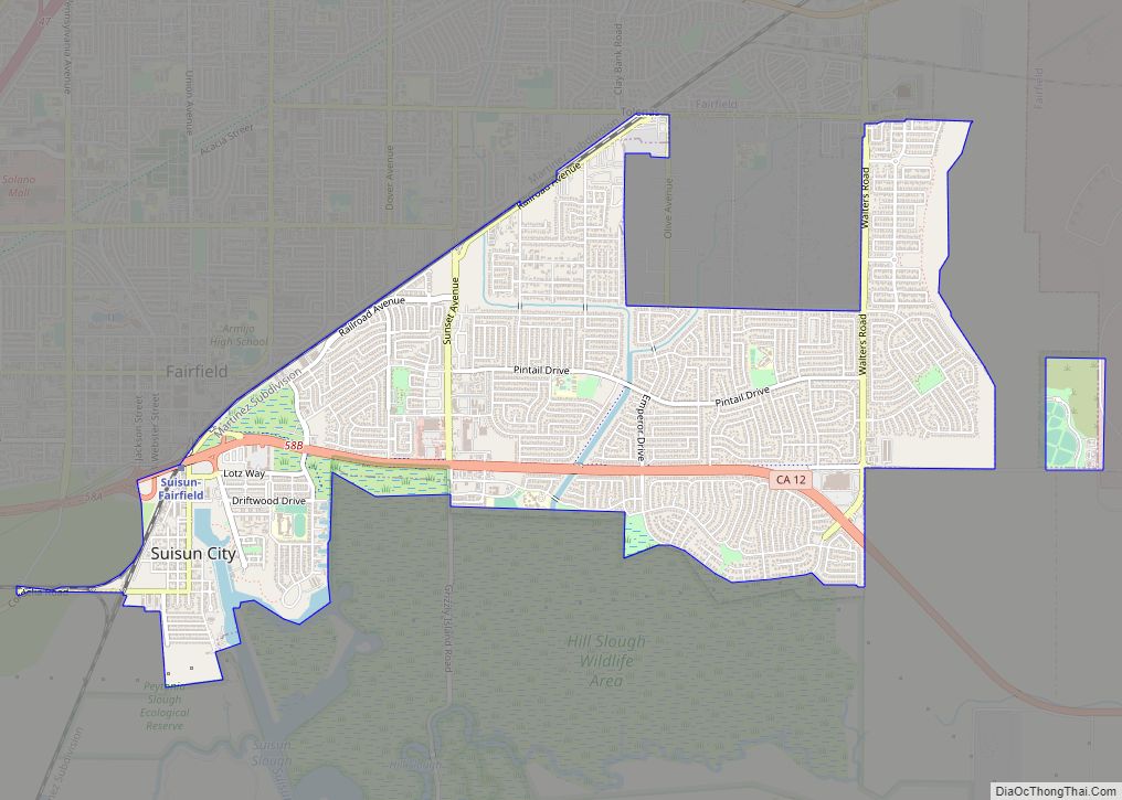
Other nearby cities include American Canyon, Fairfield, Hercules, Martinez, Napa, Suisun City, and Vacaville.
| Name: | Vallejo city |
|---|---|
| LSAD Code: | 25 |
| LSAD Description: | city (suffix) |
| State: | California |
| County: | Solano County |
| Founded: | 1851 |
| Incorporated: | March 30, 1868 |
| Elevation: | 69 ft (21 m) |
| Total Area: | 48.78 sq mi (126.34 km²) |
| Land Area: | 30.50 sq mi (79.01 km²) |
| Water Area: | 18.27 sq mi (47.33 km²) 38.0% |
| Total Population: | 126,090 |
| Population Density: | 2,600/sq mi (1,000/km²) |
| ZIP code: | 94589–94592 |
| Area code: | 707 |
| FIPS code: | 0681666 |
| Website: | https://www.cityofvallejo.net |
Online Interactive Map
Click on ![]() to view map in "full screen" mode.
to view map in "full screen" mode.
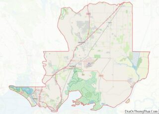
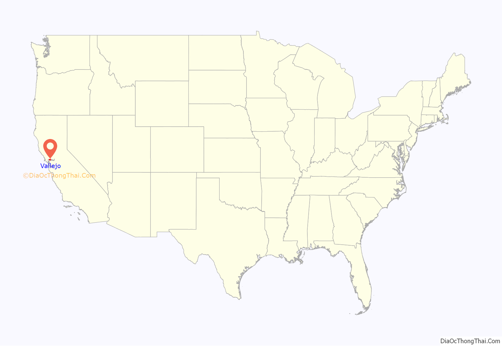
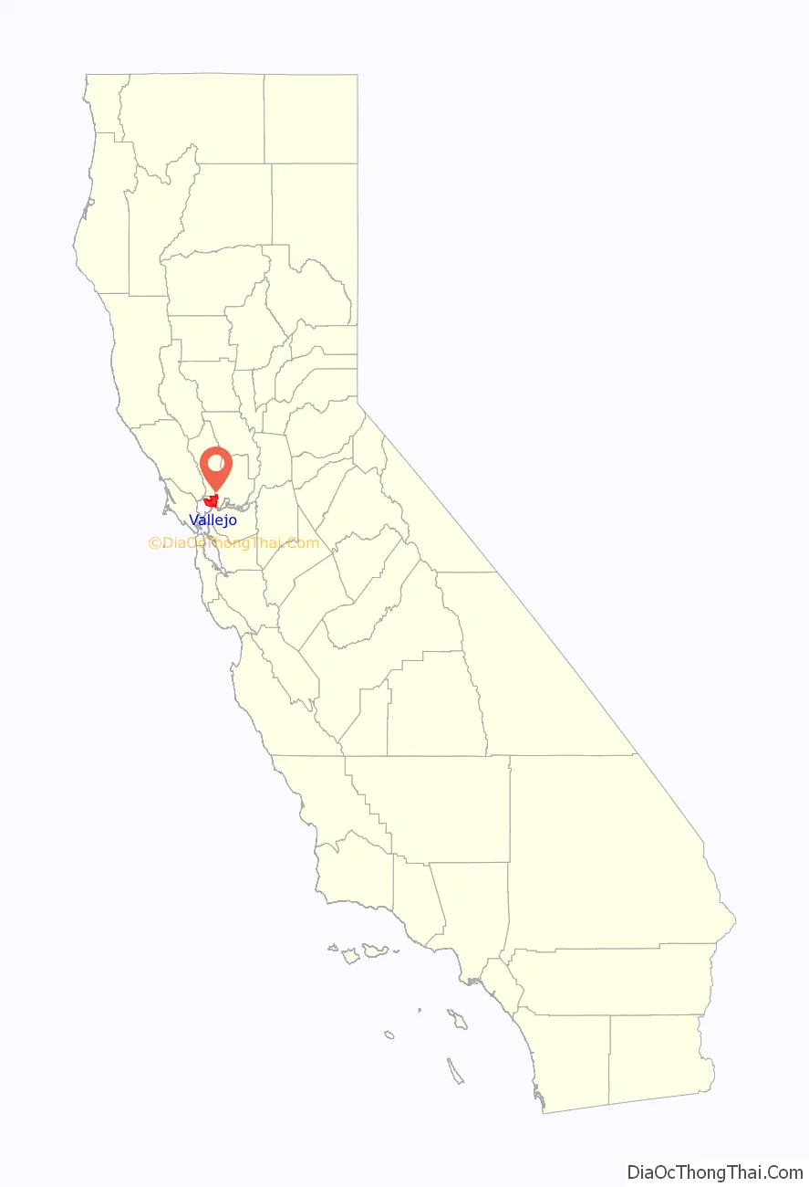
Vallejo location map. Where is Vallejo city?
History
Vallejo was once home of the Coastal Miwok as well as Suisunes and other Patwin Native American tribes. There are three confirmed Native American sites located in the rock outcrops in the hills above Blue Rock Springs Park. The California Archaeological Inventory has indicated that the three Indian sites are located on Sulphur Springs Mountain.
Mexican era
The city of Vallejo was once part of the 84,000-acre (340 km) Rancho Suscol Mexican land grant of 1843 by Governor Manuel Micheltorena to General Mariano Guadalupe Vallejo. The city was named after this Mexican military officer and title holder who was appointed in settling and overseeing the north bay region. General Vallejo was responsible for military peace in the region and founded the pueblo of Sonoma in 1836. In 1846 independence-minded Anglo immigrants rose up against the Mexican government of California in what would be known as the Bear Flag Revolt which resulted in his imprisonment in Sutter’s Fort. This was subsequently followed by the annexation of the California Republic to the United States. General Vallejo, though a Mexican army officer, generally acquiesced in the annexation of California to the United States, recognizing the greater resources of the United States and benefits that would bring to California.
Post-Conquest era
Following the American Conquest of California, Vallejo used his significant political influence to become a major force for reconciliation between Californios and Americans. In 1850, Vallejo proposed plans for a new city, to be called Eureka, with the capitol, university, botanical garden and other features. After a statewide referendum, his proposal was accepted, although a new name was decided upon: Vallejo. In 1851, a commission appointed by the Senate found a site on a hill that overlooked the bay and could see San Francisco on a clear day, and it was approved for its symbolic strategic value.
In 1851, Vallejo was declared to become the official state capitol, with the government prepared to meet for the first time the following year. In 1852, the legislature convened for the first time. However, Vallejo didn’t follow through with building a capitol for them to meet in. In 1853, it was again the meeting place for the legislature, solely for the purpose of moving the capitol officially to Benicia, which occurred on February 4, 1853, after only a month. Benicia is named after Vallejo’s wife, Benicia de Vallejo. After legislature left, the government established a naval shipyard on Mare Island, which helped the city overcome the loss. Due to the presence of the shipyard, Filipinos began to immigrate to Vallejo beginning in the first decades of the 20th century. The yard functioned for over a hundred years, finally closing in 1996.
The U.S. government appointed the influential Vallejo as Indian agent for Northern California. He also served on the state constitutional convention in 1849. Afterward, Vallejo remained active in state politics, but challenges to his land titles around Sonoma eventually left him impoverished and reduced his ranch from 250,000 acres to a mere 300. He eventually retired from public life, questioning the wisdom of his having welcomed the American acquisition of California in the first place. Vallejo died in 1890, a symbol of the eclipse of Californio wealth, power, and prestige.
Although the town is named after General Vallejo, the man regarded as the true founder of Vallejo is John B. Frisbie. After his daughter Epifania married Frisbie, General Vallejo granted him power of attorney for the land grant. It was Frisbie who hired E.H. Rowe, the man who designed the city layout and who named the east–west streets after states and the north–south streets after California counties.
Modern era
In the early 1900s, Vallejo was home to a Class D minor-league baseball team, referred to in local newspapers sometimes as the “Giants” and other times simply as “The Vallejos.” Pacific Coast League star and future Chicago White Sox center fielder Ping Bodie played for Vallejo during the 1908 season, in which the team reached the California state title game. The team was disbanded in the early 1920s. Today it is home to the Vallejo Admirals of the independent Pacific Association.
Mare Island Naval Shipyard was a critical submarine facility during WW II, both for constructing and overhauling vessels.
Downtown Vallejo retains many of its historic Victorian and Craftsman homes.
The Zodiac Killer was a serial killer who was active in Northern California during the 1960s. He claimed to have killed 37, but the actual number is unknown. Three of the murders attributed to the Zodiac Killer took place within the city limits or nearby. Both the Vallejo Police Department and San Francisco Police Department investigated the murders but were never able to solve the case. The case was marked inactive in April 2004 but was reopened in March 2007. The Vallejo Police Department website has a menu tab for providing Zodiac Crime Tips. The case also remains open in additional jurisdictions.
On May 6, 2008, the City Council voted 7–0 to file for Chapter 9 bankruptcy, at the time becoming the largest California city to do so. Stephanie Gomes, Vallejo City Councilwoman, largely blames exorbitant salaries and benefits for Vallejo firefighters and police officers. Reportedly, salaries and benefits for public safety workers account for at least 80 percent of Vallejo’s general-fund budget. On November 1, 2011, a federal judge released Vallejo from bankruptcy after nearly three years.
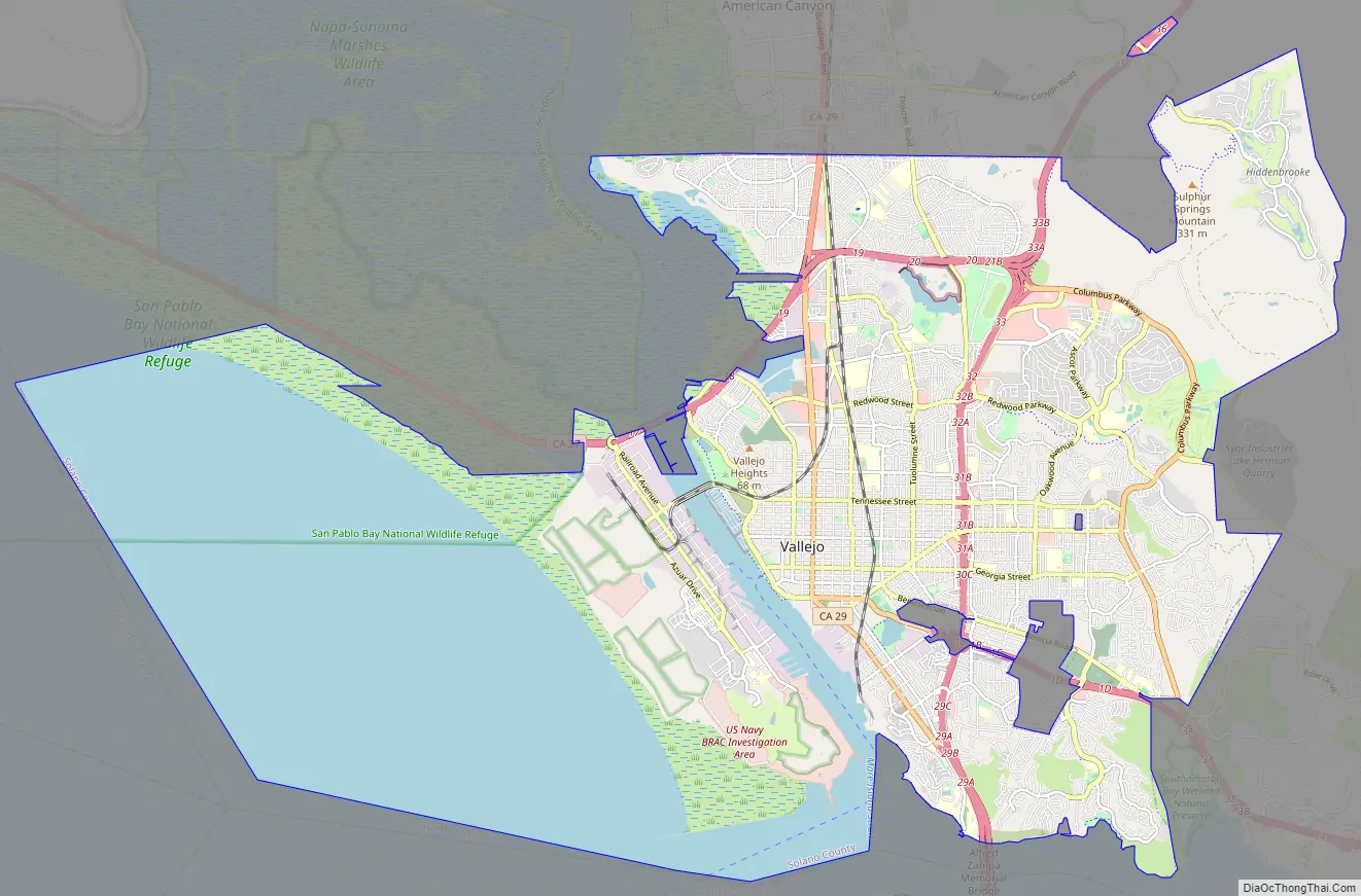
Vallejo Road Map
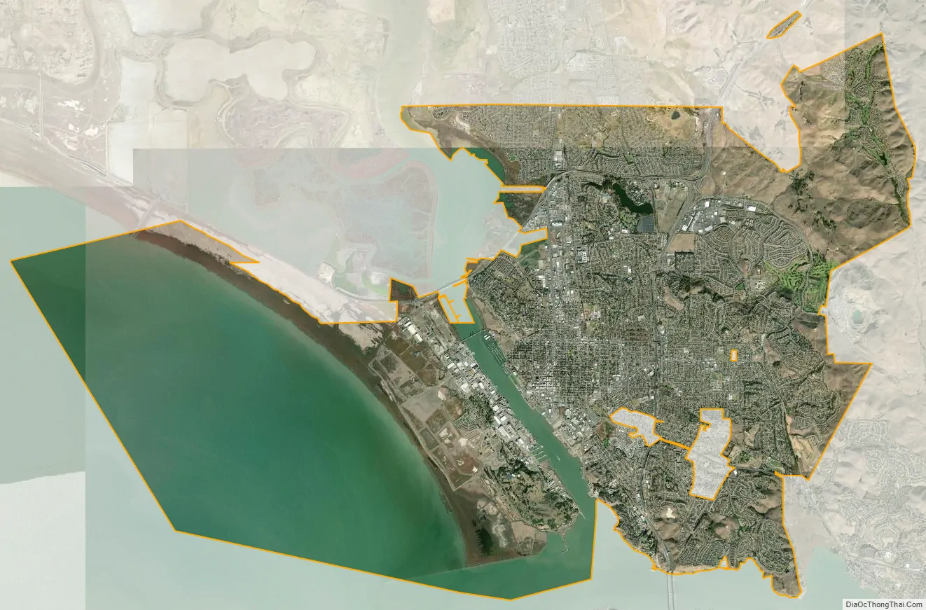
Vallejo city Satellite Map
Geography
According to United States Census Bureau, the city has a total area of 49.5 square miles (128 km). Land area is 30.7 square miles (80 km), and 18.9 square miles (49 km) (38.09%) is water. The Napa River flows until it changes into the Mare Island Strait in Vallejo which then flows into San Pablo Bay, in the northeastern part of San Francisco Bay.
Vallejo is located on the southwestern edge of Solano County, California in the North Bay region of the San Francisco Bay Area in Northern California. Vallejo borders the city of Benicia to the east, American Canyon and the Napa county line to the north, the Carquinez Strait to the south and the San Pablo Bay to the west.
Several faults have been mapped in the vicinity of Vallejo. The San Andreas Fault and Hayward Faults are the most active faults, although the San Andreas is at some distance. Locally, the Sulphur Springs Valley Thrust Fault and Southampton Fault are found. No quaternary seismic activity along these minor faults has been observed with the possible exception of a slight offset revealed by trenching. The Sulphur Mountain and Green Valley faults have been associated with the Concord Fault to the south. The Concord Fault is considered active.
Historically there have been local cinnabar mines in the Vallejo area. The Hastings Mine and St. John’s Mine contribute ongoing water contamination for mercury; furthermore, mine shaft development has depleted much of this area’s spring water. Both Rindler Creek and Blue Rock Springs Creek have been affected.
Climate
Vallejo has a mild, coastal Mediterranean climate and can be an average of 10 °F (6 °C) cooler than nearby inland cities. Vallejo is influenced by its position on the northeastern shore of San Pablo Bay, but is less sheltered from heatwaves than areas directly on or nearer the Pacific Ocean/Golden Gate such as San Francisco and Oakland. Although slightly less marine, average temperatures range between 8 °C (46 °F) in January and 19.8 °C (67.6 °F) in July. However, summer is very long with June–September being almost equal in historical average temperatures. This seasonal lag sees October averages being higher than in May in spite of it being after the Equinox (meaning less daylight than darkness).
See also
Map of California State and its subdivision:- Alameda
- Alpine
- Amador
- Butte
- Calaveras
- Colusa
- Contra Costa
- Del Norte
- El Dorado
- Fresno
- Glenn
- Humboldt
- Imperial
- Inyo
- Kern
- Kings
- Lake
- Lassen
- Los Angeles
- Madera
- Marin
- Mariposa
- Mendocino
- Merced
- Modoc
- Mono
- Monterey
- Napa
- Nevada
- Orange
- Placer
- Plumas
- Riverside
- Sacramento
- San Benito
- San Bernardino
- San Diego
- San Francisco
- San Joaquin
- San Luis Obispo
- San Mateo
- Santa Barbara
- Santa Clara
- Santa Cruz
- Shasta
- Sierra
- Siskiyou
- Solano
- Sonoma
- Stanislaus
- Sutter
- Tehama
- Trinity
- Tulare
- Tuolumne
- Ventura
- Yolo
- Yuba
- Alabama
- Alaska
- Arizona
- Arkansas
- California
- Colorado
- Connecticut
- Delaware
- District of Columbia
- Florida
- Georgia
- Hawaii
- Idaho
- Illinois
- Indiana
- Iowa
- Kansas
- Kentucky
- Louisiana
- Maine
- Maryland
- Massachusetts
- Michigan
- Minnesota
- Mississippi
- Missouri
- Montana
- Nebraska
- Nevada
- New Hampshire
- New Jersey
- New Mexico
- New York
- North Carolina
- North Dakota
- Ohio
- Oklahoma
- Oregon
- Pennsylvania
- Rhode Island
- South Carolina
- South Dakota
- Tennessee
- Texas
- Utah
- Vermont
- Virginia
- Washington
- West Virginia
- Wisconsin
- Wyoming