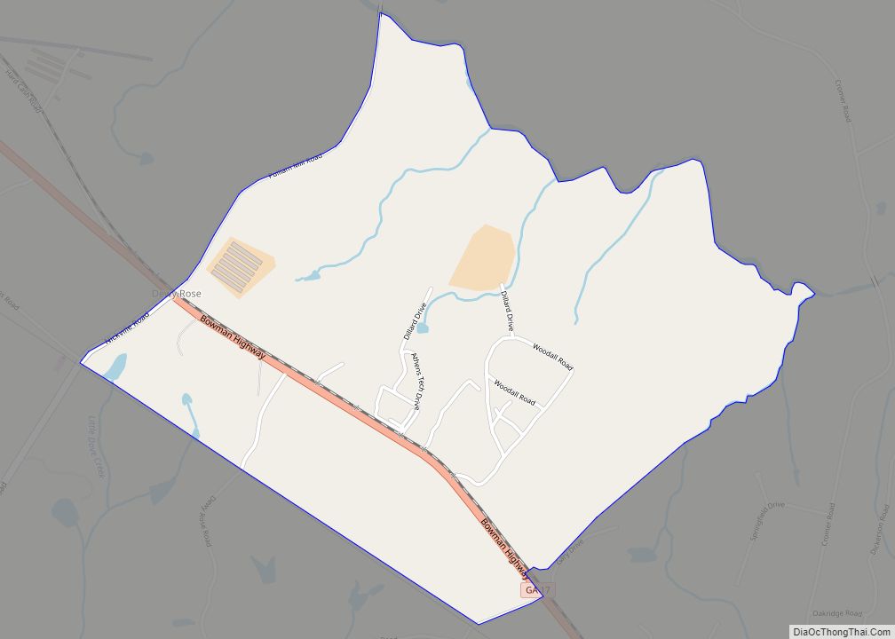
Dewy Rose is a census-designated place and unincorporated community in Elbert County, Georgia, United States. Its population was 161 as of the 2020 census. Dewy Rose has a post office with ZIP code 30634. Georgia State Route 17 passes through the community. Dewy Rose CDP overview: Name: Dewy Rose CDP LSAD Code: 57 LSAD Description: ... Read more
Georgia Cities and Places
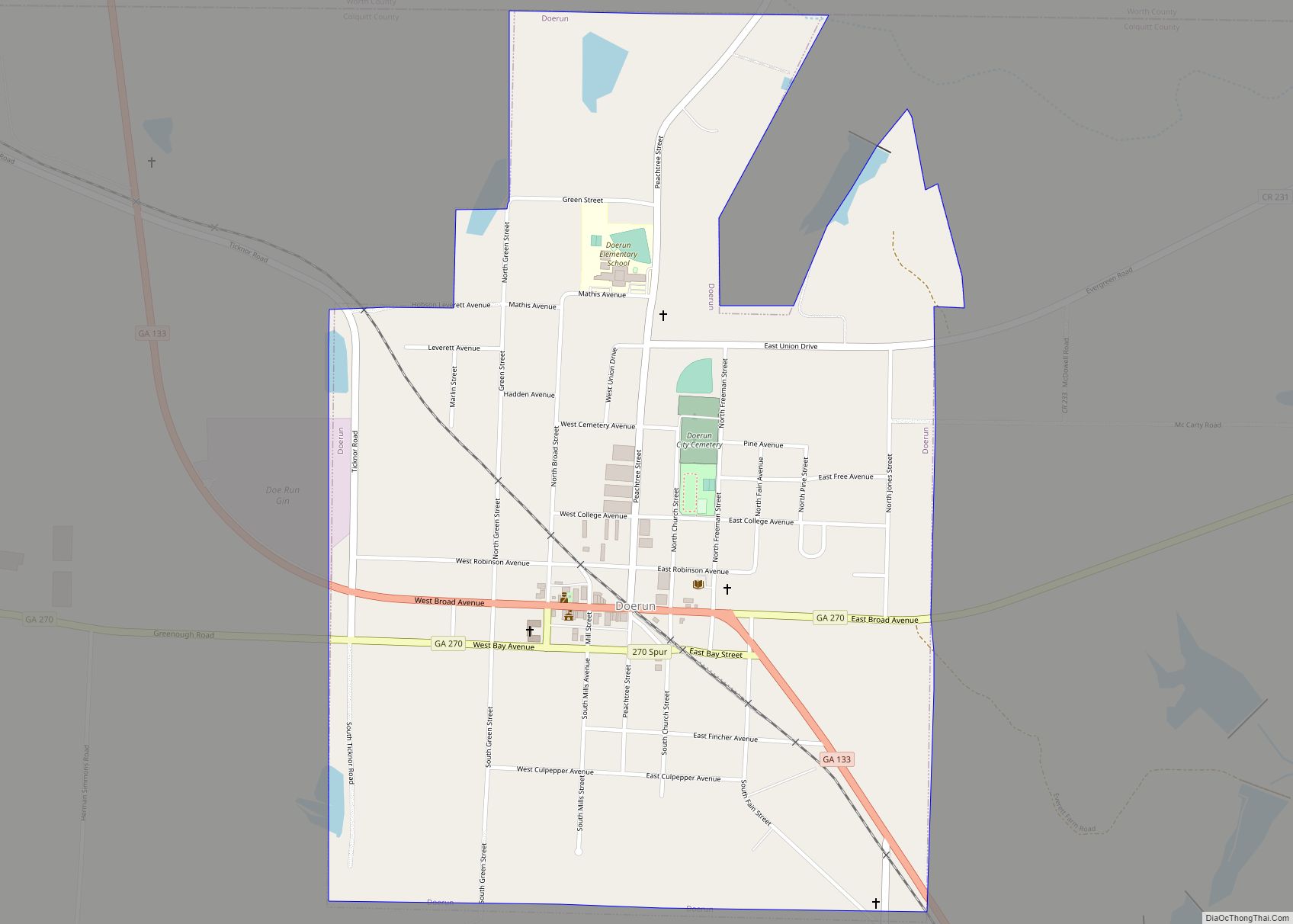
Doerun is a city in Colquitt County, Georgia, United States. The population was 774 at the 2010 census. Doerun city overview: Name: Doerun city LSAD Code: 25 LSAD Description: city (suffix) State: Georgia County: Colquitt County Elevation: 397 ft (121 m) Total Area: 1.30 sq mi (3.37 km²) Land Area: 1.28 sq mi (3.33 km²) Water Area: 0.02 sq mi (0.04 km²) Total Population: 738 Population ... Read more
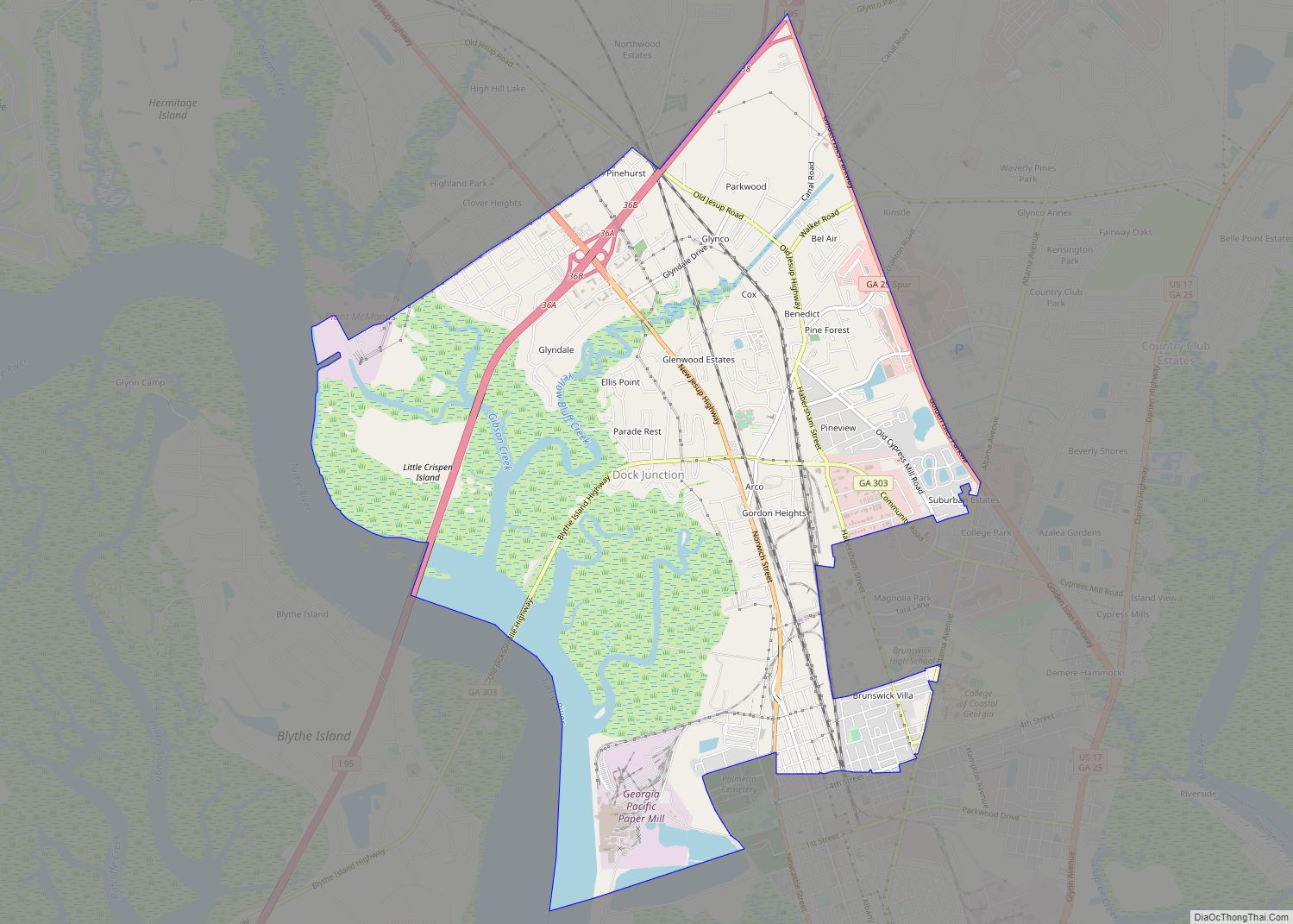
Dock Junction is a census-designated place (CDP) in Glynn County, Georgia, United States. It is part of the ‘Brunswick, Georgia Metropolitan Statistical Area’. The population was 7,721 at the 2010 census. Its original name was Arco until the 1970s, the name deriving from the Atlantic Refining Company. Dock Junction CDP overview: Name: Dock Junction CDP ... Read more
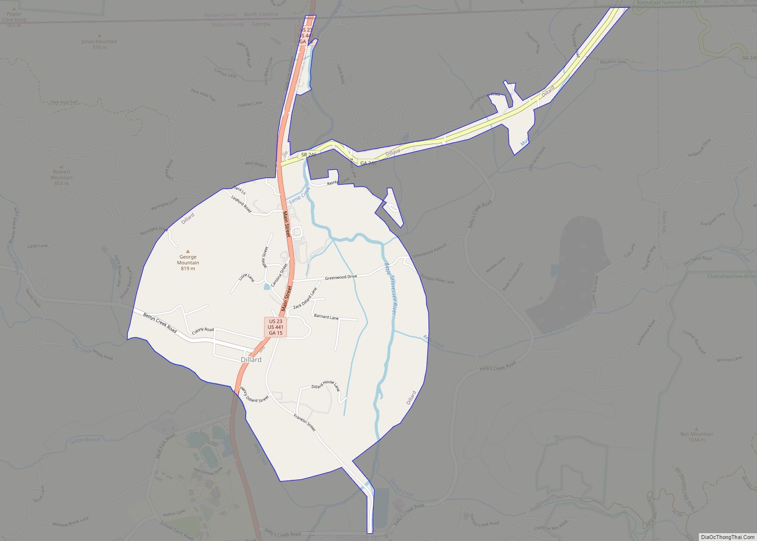
Dillard is a town in Rabun County, Georgia, United States. As of the 2020 census, the city population was 337. Dillard city overview: Name: Dillard city LSAD Code: 25 LSAD Description: city (suffix) State: Georgia County: Rabun County Elevation: 2,146 ft (654 m) Total Area: 1.79 sq mi (4.63 km²) Land Area: 1.76 sq mi (4.56 km²) Water Area: 0.03 sq mi (0.07 km²) Total Population: ... Read more
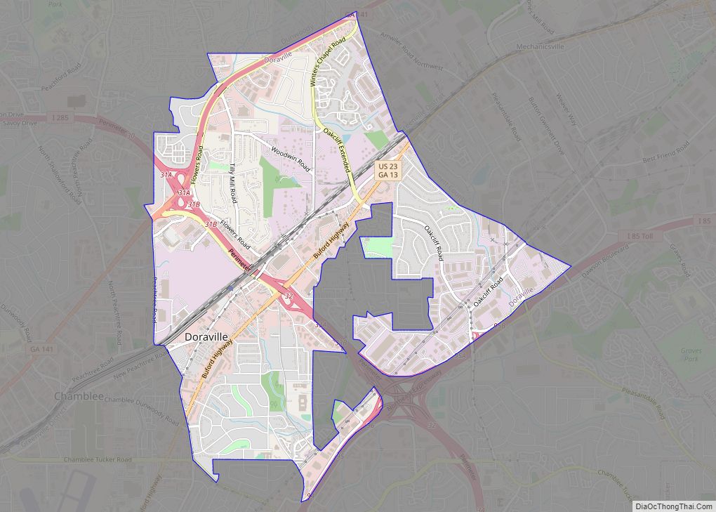
Doraville is a city in DeKalb County, Georgia, United States northeast of Atlanta. As of the 2020 census, the city had a population of 10,623. Doraville city overview: Name: Doraville city LSAD Code: 25 LSAD Description: city (suffix) State: Georgia County: DeKalb County Elevation: 1,073 ft (327 m) Total Area: 5.00 sq mi (12.95 km²) Land Area: 5.00 sq mi (12.95 km²) Water ... Read more
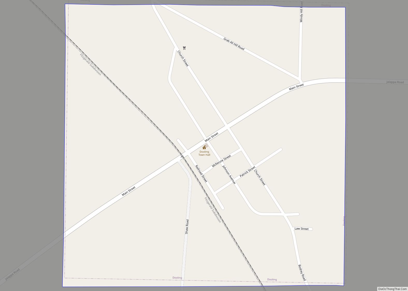
Dooling is a town in Dooly County, Georgia, United States. The population was 68 at the 2020 census. Dooling town overview: Name: Dooling town LSAD Code: 43 LSAD Description: town (suffix) State: Georgia County: Dooly County Elevation: 371 ft (113 m) Total Area: 0.46 sq mi (1.20 km²) Land Area: 0.46 sq mi (1.20 km²) Water Area: 0.00 sq mi (0.00 km²) Total Population: 68 Population ... Read more
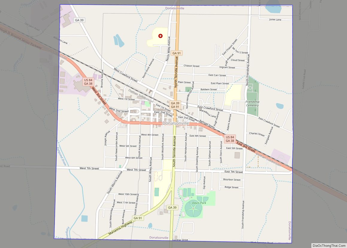
Donalsonville is a city in and the county seat of Seminole County, Georgia, United States. The population was 2,650 at the 2010 census. Donalsonville city overview: Name: Donalsonville city LSAD Code: 25 LSAD Description: city (suffix) State: Georgia County: Seminole County Elevation: 148 ft (45 m) Total Area: 3.99 sq mi (10.34 km²) Land Area: 3.97 sq mi (10.29 km²) Water Area: 0.02 sq mi ... Read more
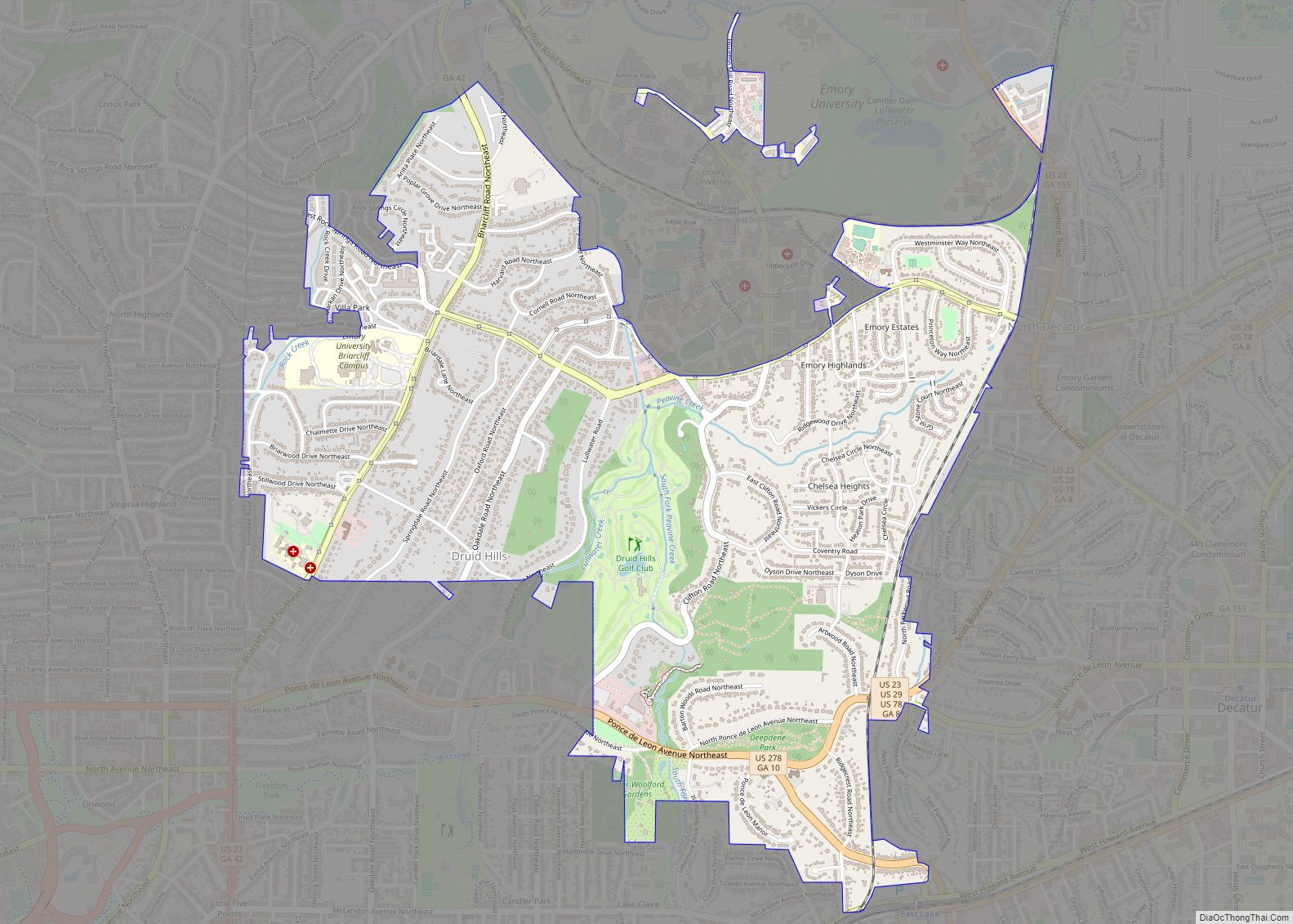
Druid Hills is a community which includes both a census-designated place (CDP) in unincorporated DeKalb County, Georgia, United States, as well as a neighborhood of the city of Atlanta. The CDP’s population was 14,568 at the 2010 census. The CDP formerly contained the main campus of Emory University and the Centers for Disease Control and ... Read more
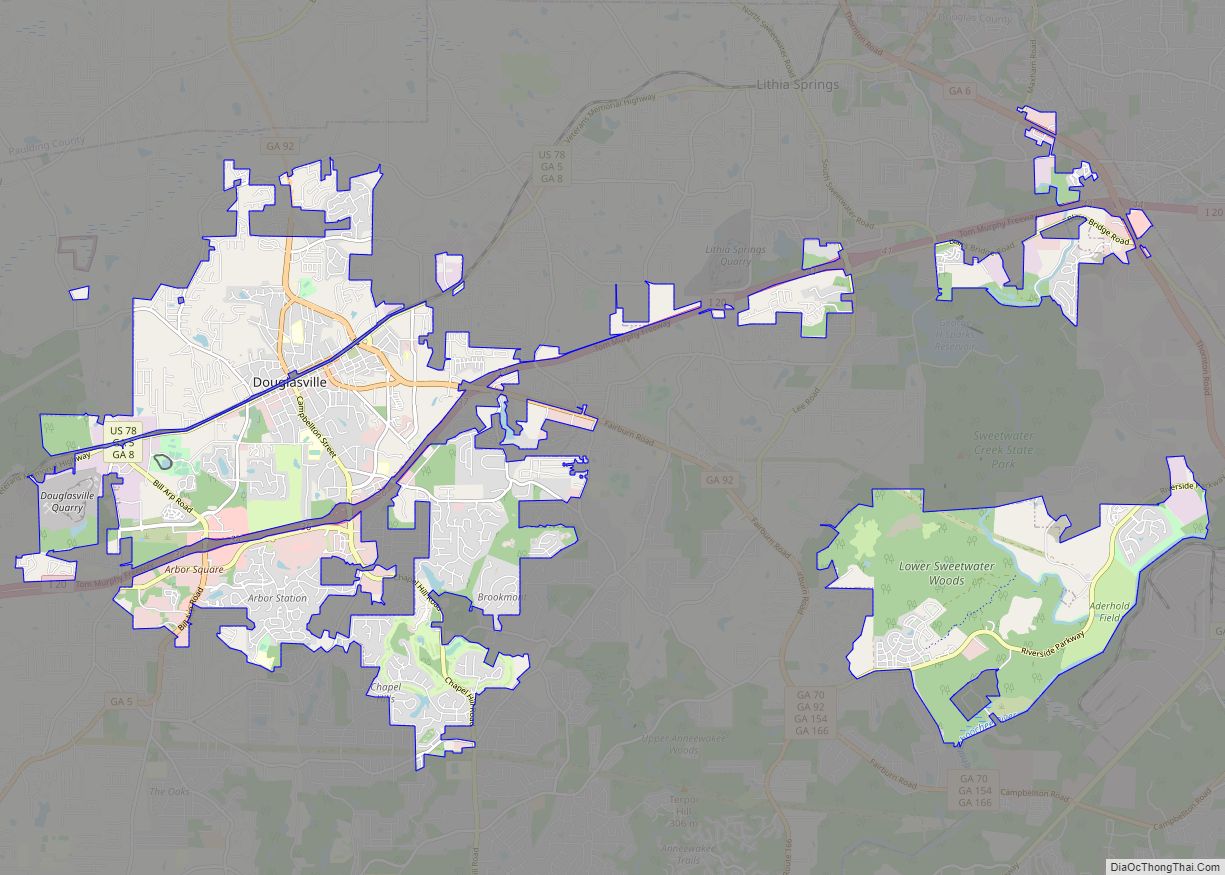
The city of Douglasville is the county seat of Douglas County, Georgia, United States. As of the 2020 census, the city had a population of 34,650, up from 30,961 in 2010 and 20,065 in 2000. Douglasville is located approximately 20 miles (32 km) west of Atlanta and is part of the Atlanta Metro Area. Highway access ... Read more
Douglas is a city in Coffee County, Georgia, United States. As of the 2020 census, the city had a population of 11,722. Douglas is the county seat of Coffee County and the core city of the Douglas, Georgia Micropolitan Statistical Area, which had a population of 50,731 as of the 2010 census. Douglas city overview: ... Read more
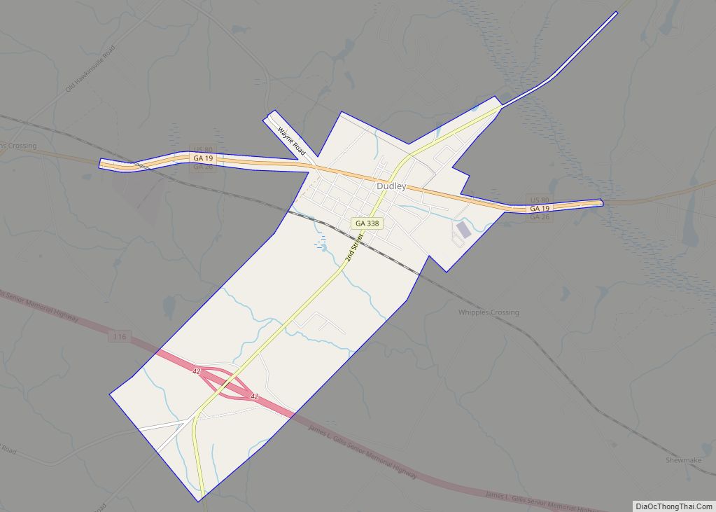
Dudley is a city in Laurens County, Georgia, United States. The population was 571 at the 2010 census, up from 447 in 2000. It is part of the Dublin Micropolitan Statistical Area. Dudley city overview: Name: Dudley city LSAD Code: 25 LSAD Description: city (suffix) State: Georgia County: Laurens County Elevation: 335 ft (102 m) Total Area: ... Read more
Dublin (Irish: Baile Átha Cliath) is a city in Laurens County, Georgia, United States. As of the 2020 census, the city had a population of 16,074. It is the county seat of Laurens County. Dublin city overview: Name: Dublin city LSAD Code: 25 LSAD Description: city (suffix) State: Georgia County: Laurens County Elevation: 223 ft (68 m) ... Read more
