Douglas is a city in Coffee County, Georgia, United States. As of the 2020 census, the city had a population of 11,722. Douglas is the county seat of Coffee County and the core city of the Douglas, Georgia Micropolitan Statistical Area, which had a population of 50,731 as of the 2010 census.
| Name: | Douglas city |
|---|---|
| LSAD Code: | 25 |
| LSAD Description: | city (suffix) |
| State: | Georgia |
| County: | Coffee County |
| Elevation: | 253 ft (77 m) |
| Total Area: | 14.67 sq mi (38.01 km²) |
| Land Area: | 14.44 sq mi (37.39 km²) |
| Water Area: | 0.24 sq mi (0.61 km²) |
| Total Population: | 11,722 |
| Population Density: | 811.94/sq mi (313.50/km²) |
| ZIP code: | 31533-31535 |
| Area code: | 912 |
| FIPS code: | 1323872 |
| GNISfeature ID: | 0313591 |
| Website: | www.cityofdouglas.com |
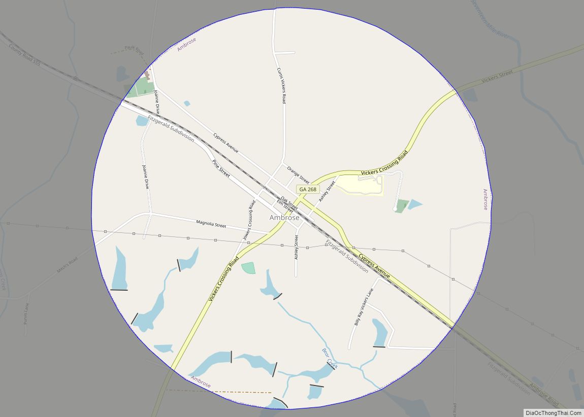
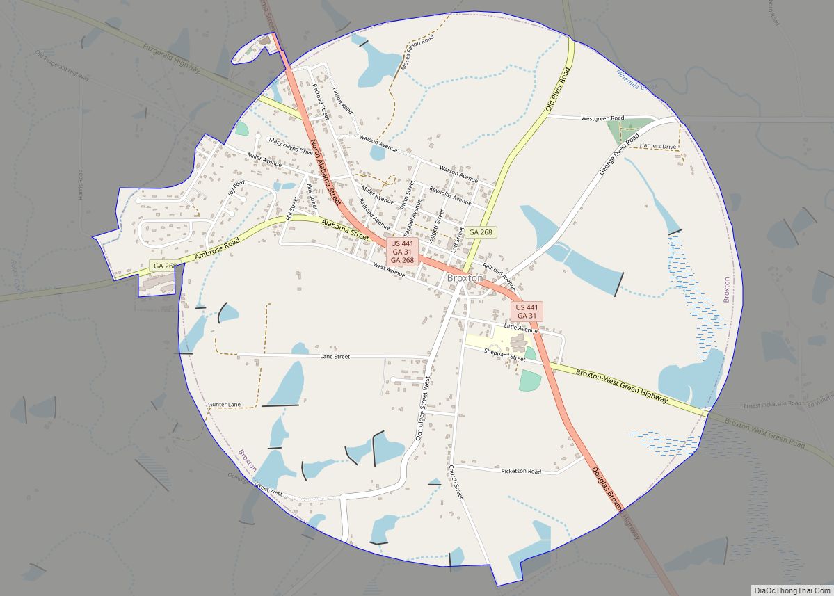
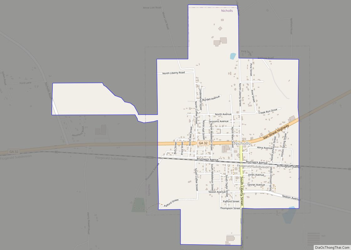
Online Interactive Map
Click on ![]() to view map in "full screen" mode.
to view map in "full screen" mode.
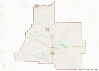
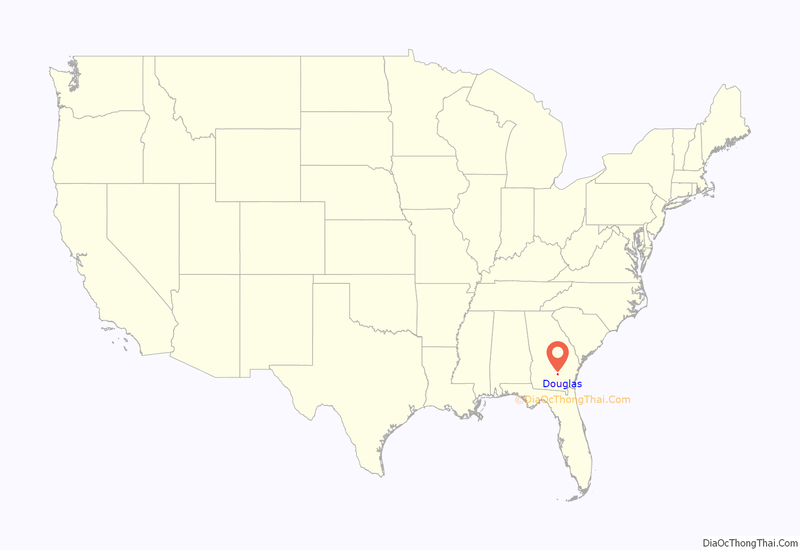
Douglas location map. Where is Douglas city?
History
Douglas was founded in 1855 as the seat of the newly formed Coffee County. It was named for Senator Stephen A. Douglas from Illinois, a renowned stump speaker who was the challenger to Abraham Lincoln in the presidential election of 1860.
Douglas was chartered as a town in 1895 and as a city in 1897. In 1895, the railroad came to Douglas and the community began to boom. In 1909, the Georgia and Florida Railway located its offices in Douglas.
The Eleventh District Agricultural & Mechanical School was established in Douglas in 1906. In 1927, South Georgia College was founded as Georgia’s first state-supported junior college.
During the 1920s and 1930s, Douglas was one of the major tobacco markets in the state. Much of this history is depicted in the Heritage Station Museum, located in the former Georgia and Florida Railway train station on Ward Street in downtown Douglas.
Douglas has two areas listed on the National Register of Historic Places: the downtown and Gaskin Avenue historic districts. They were added to the list in 1989.
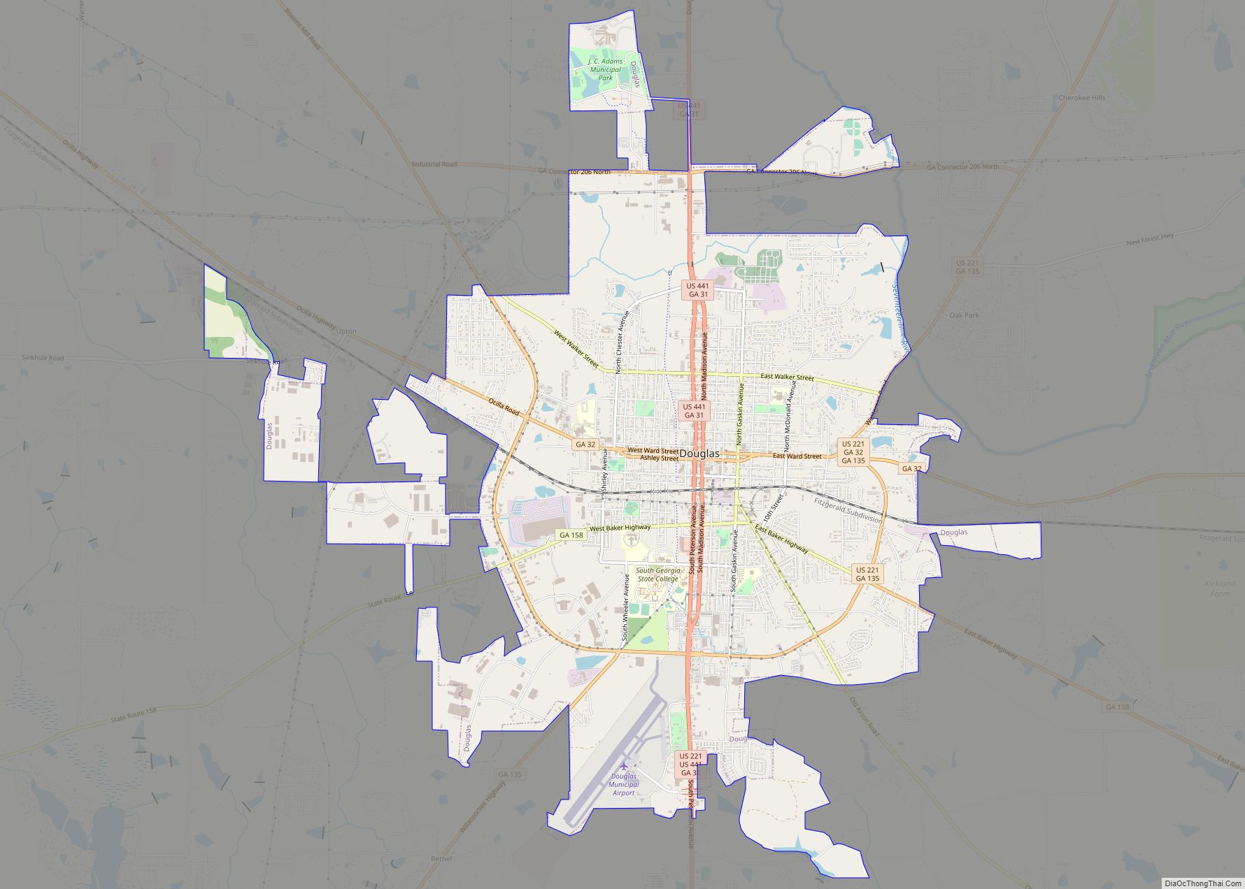
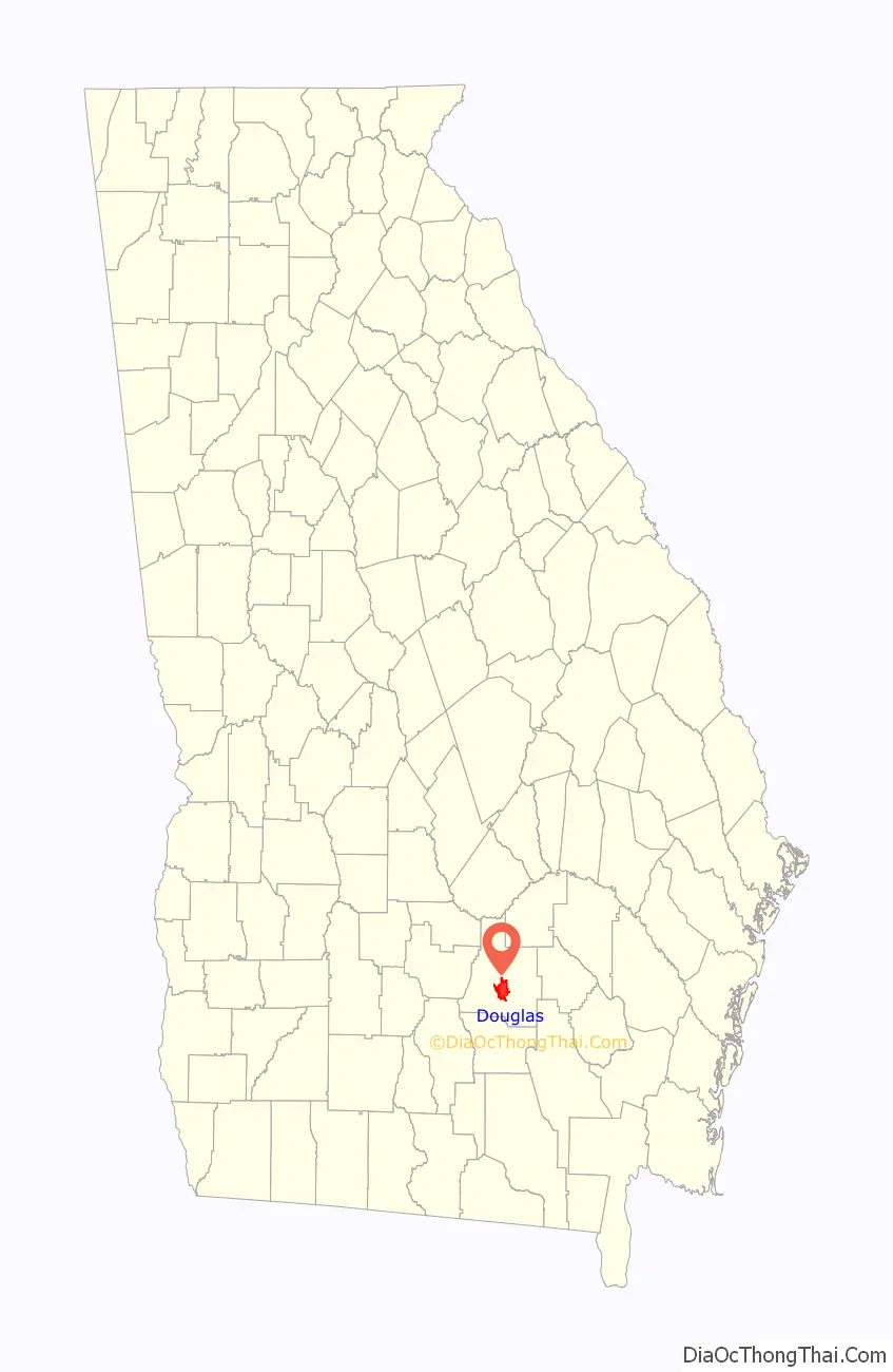
Douglas Road Map
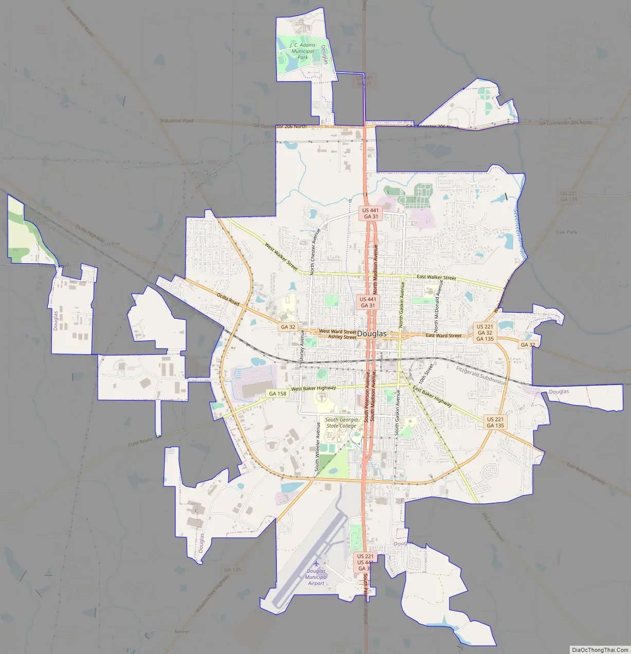
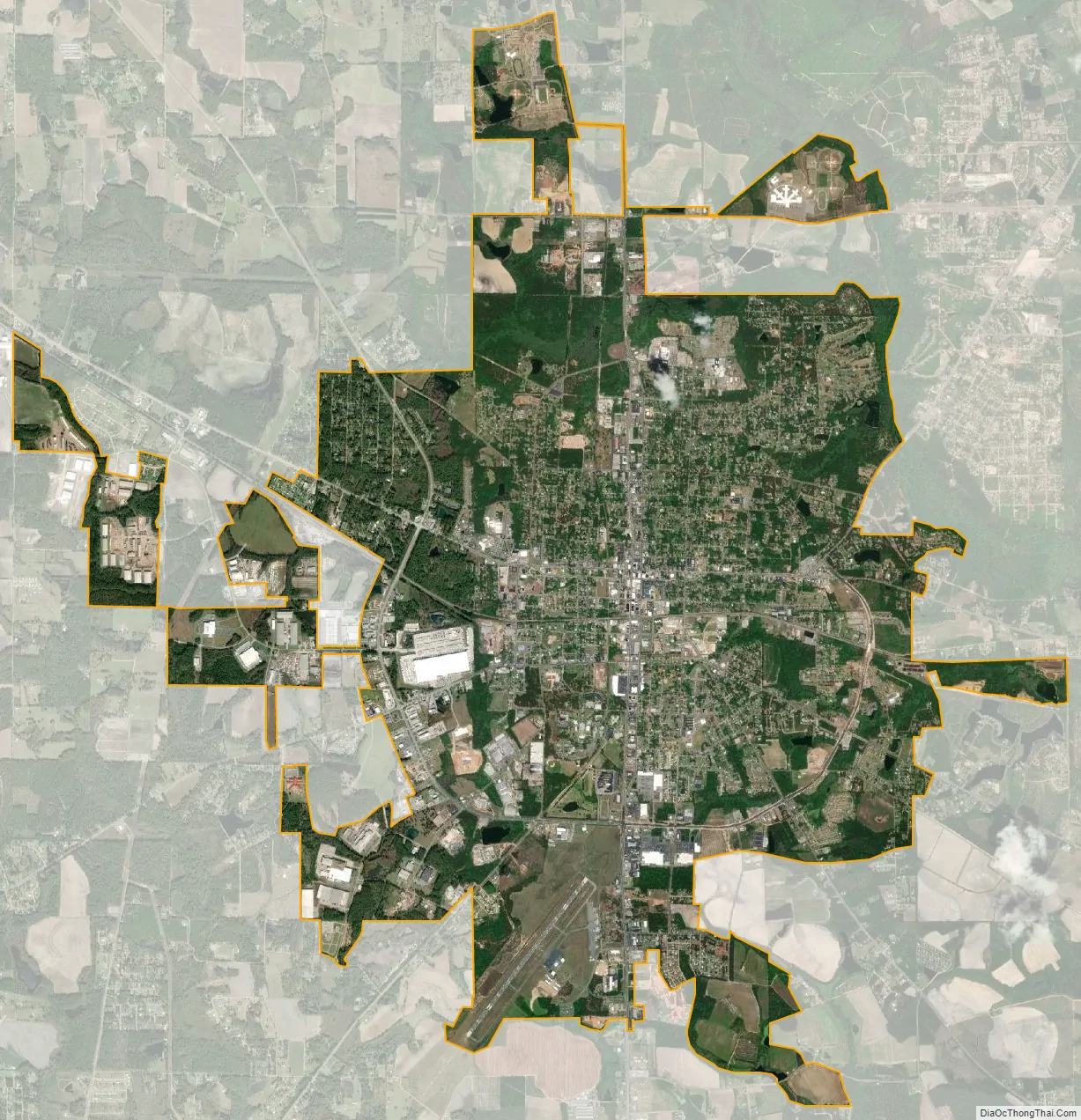
Douglas city Satellite Map
Geography
Douglas is located near the center of Coffee County at 31°30′27″N 82°51′3″W / 31.50750°N 82.85083°W / 31.50750; -82.85083 (31.507413, −82.850799). It is 59 miles (95 km) driving distance northeast of Valdosta, Georgia, 115 miles (185 km) driving distance northwest of Jacksonville, Florida, and 201 miles (323 km) driving distance southeast of Atlanta.
According to the United States Census Bureau, Douglas has a total area of 14.0 square miles (36.2 km), of which 13.4 square miles (34.7 km) is land and 0.58 square miles (1.5 km), or 4.08%, is water. Major water bodies include Twenty Mile Creek, the Seventeen Mile River (a tributary of the Satilla River), and Hilliard’s Pond, which was once the ski show park “Holiday Beach”.
Climate
See also
Map of Georgia State and its subdivision:- Appling
- Atkinson
- Bacon
- Baker
- Baldwin
- Banks
- Barrow
- Bartow
- Ben Hill
- Berrien
- Bibb
- Bleckley
- Brantley
- Brooks
- Bryan
- Bulloch
- Burke
- Butts
- Calhoun
- Camden
- Candler
- Carroll
- Catoosa
- Charlton
- Chatham
- Chattahoochee
- Chattooga
- Cherokee
- Clarke
- Clay
- Clayton
- Clinch
- Cobb
- Coffee
- Colquitt
- Columbia
- Cook
- Coweta
- Crawford
- Crisp
- Dade
- Dawson
- Decatur
- DeKalb
- Dodge
- Dooly
- Dougherty
- Douglas
- Early
- Echols
- Effingham
- Elbert
- Emanuel
- Evans
- Fannin
- Fayette
- Floyd
- Forsyth
- Franklin
- Fulton
- Gilmer
- Glascock
- Glynn
- Gordon
- Grady
- Greene
- Gwinnett
- Habersham
- Hall
- Hancock
- Haralson
- Harris
- Hart
- Heard
- Henry
- Houston
- Irwin
- Jackson
- Jasper
- Jeff Davis
- Jefferson
- Jenkins
- Johnson
- Jones
- Lamar
- Lanier
- Laurens
- Lee
- Liberty
- Lincoln
- Long
- Lowndes
- Lumpkin
- Macon
- Madison
- Marion
- McDuffie
- McIntosh
- Meriwether
- Miller
- Mitchell
- Monroe
- Montgomery
- Morgan
- Murray
- Muscogee
- Newton
- Oconee
- Oglethorpe
- Paulding
- Peach
- Pickens
- Pierce
- Pike
- Polk
- Pulaski
- Putnam
- Quitman
- Rabun
- Randolph
- Richmond
- Rockdale
- Schley
- Screven
- Seminole
- Spalding
- Stephens
- Stewart
- Sumter
- Talbot
- Taliaferro
- Tattnall
- Taylor
- Telfair
- Terrell
- Thomas
- Tift
- Toombs
- Towns
- Treutlen
- Troup
- Turner
- Twiggs
- Union
- Upson
- Walker
- Walton
- Ware
- Warren
- Washington
- Wayne
- Webster
- Wheeler
- White
- Whitfield
- Wilcox
- Wilkes
- Wilkinson
- Worth
- Alabama
- Alaska
- Arizona
- Arkansas
- California
- Colorado
- Connecticut
- Delaware
- District of Columbia
- Florida
- Georgia
- Hawaii
- Idaho
- Illinois
- Indiana
- Iowa
- Kansas
- Kentucky
- Louisiana
- Maine
- Maryland
- Massachusetts
- Michigan
- Minnesota
- Mississippi
- Missouri
- Montana
- Nebraska
- Nevada
- New Hampshire
- New Jersey
- New Mexico
- New York
- North Carolina
- North Dakota
- Ohio
- Oklahoma
- Oregon
- Pennsylvania
- Rhode Island
- South Carolina
- South Dakota
- Tennessee
- Texas
- Utah
- Vermont
- Virginia
- Washington
- West Virginia
- Wisconsin
- Wyoming