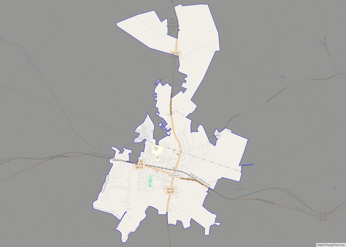
Harlem is a city in Columbia County, Georgia, United States. It is part of the Augusta metropolitan area. The population was 2,666 at the 2010 census, up from 1,814 in 2000. This city was named after the neighborhood in the borough of Manhattan. Harlem is the birthplace of comedian Oliver Hardy; the annual Harlem Oliver ... Read more
Georgia Cities and Places
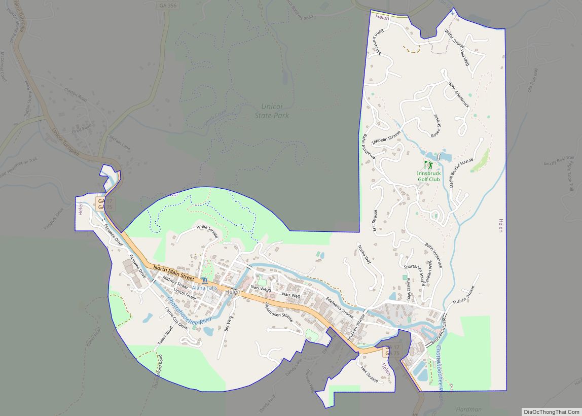
Helen is a city in White County, Georgia, United States, located along the Chattahoochee River. The population was 531 at the 2020 census. Helen city overview: Name: Helen city LSAD Code: 25 LSAD Description: city (suffix) State: Georgia County: White County Elevation: 1,444 ft (440 m) Total Area: 2.09 sq mi (5.43 km²) Land Area: 2.09 sq mi (5.41 km²) Water Area: 0.01 sq mi ... Read more
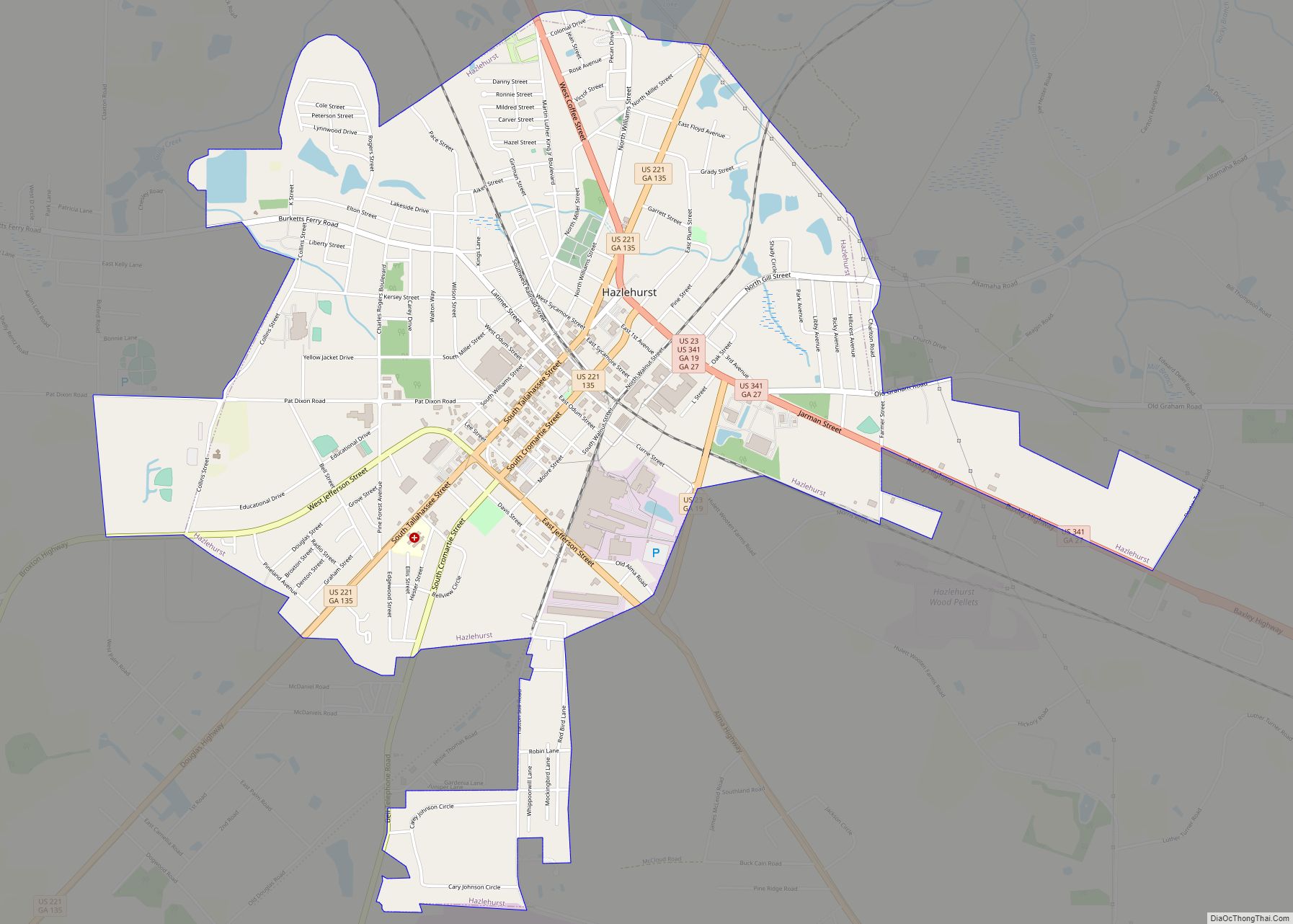
Hazlehurst is a city in and the county seat of Jeff Davis County, Georgia, United States. The population was 4,226 at the 2010 census. Hazlehurst city overview: Name: Hazlehurst city LSAD Code: 25 LSAD Description: city (suffix) State: Georgia County: Jeff Davis County Elevation: 249 ft (76 m) Total Area: 4.81 sq mi (12.45 km²) Land Area: 4.73 sq mi (12.26 km²) Water ... Read more
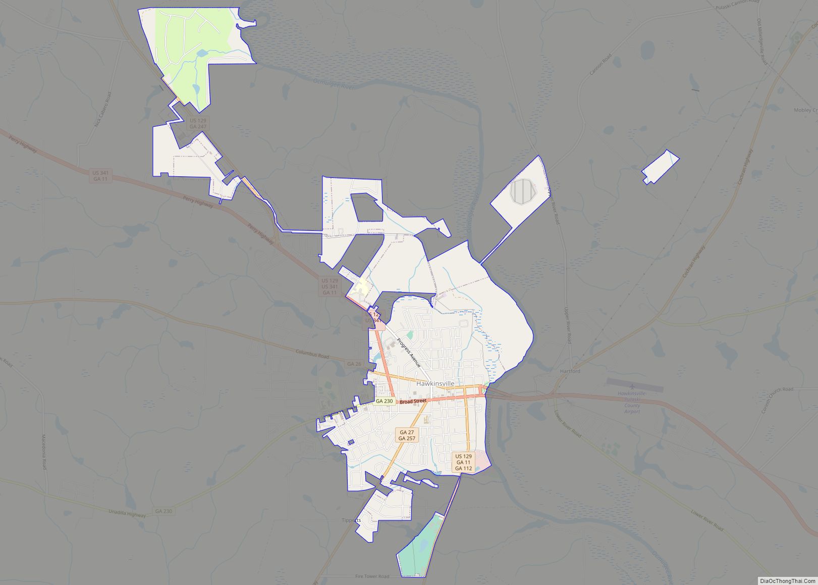
Hawkinsville is a city in and the county seat of Pulaski County, Georgia, United States. The population was 4,589 at the 2010 census. Hawkinsville is known as the “Harness Horse Capital” of Georgia. The Lawrence Bennett Harness Horse Racing facility is owned by the city and serves as an important training ground during winter months. ... Read more
Henderson is a census-designated place (CDP) in Chatham County, Georgia, United States. The population was 2,178 at the 2020 census. It is part of the Savannah Metropolitan Statistical Area. Henderson CDP overview: Name: Henderson CDP LSAD Code: 57 LSAD Description: CDP (suffix) State: Georgia County: Chatham County Elevation: 10 ft (3 m) Total Area: 1.81 sq mi (4.68 km²) Land ... Read more
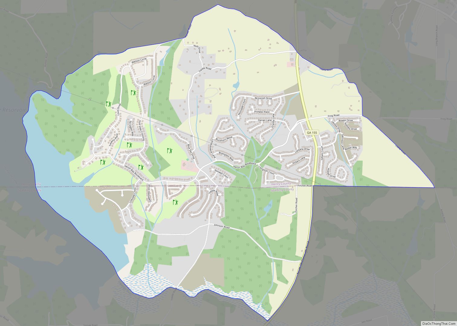
Heron Bay is a census-designated place in Henry and Spalding counties in the U.S. state of Georgia. Its population was 4,679 as of the 2020 census. Heron Bay CDP overview: Name: Heron Bay CDP LSAD Code: 57 LSAD Description: CDP (suffix) State: Georgia County: Henry County, Spalding County Elevation: 781 ft (238 m) Total Area: 4.89 sq mi (12.68 km²) ... Read more
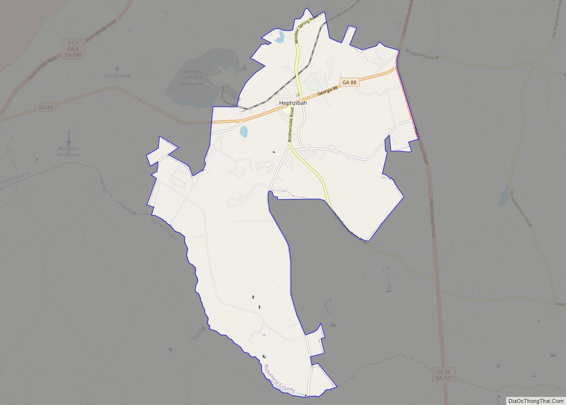
Hephzibah (/ˈhɛpzɪbə/) is a city in southern Richmond County, in the U.S. state of Georgia. It is part of the Augusta metropolitan area. The population was 4,011 at the 2010 census. Hephzibah is a poetic name used in the Book of Isaiah (62:4) to refer to Jerusalem, meaning “My delight is in Her.” Hephzibah city ... Read more
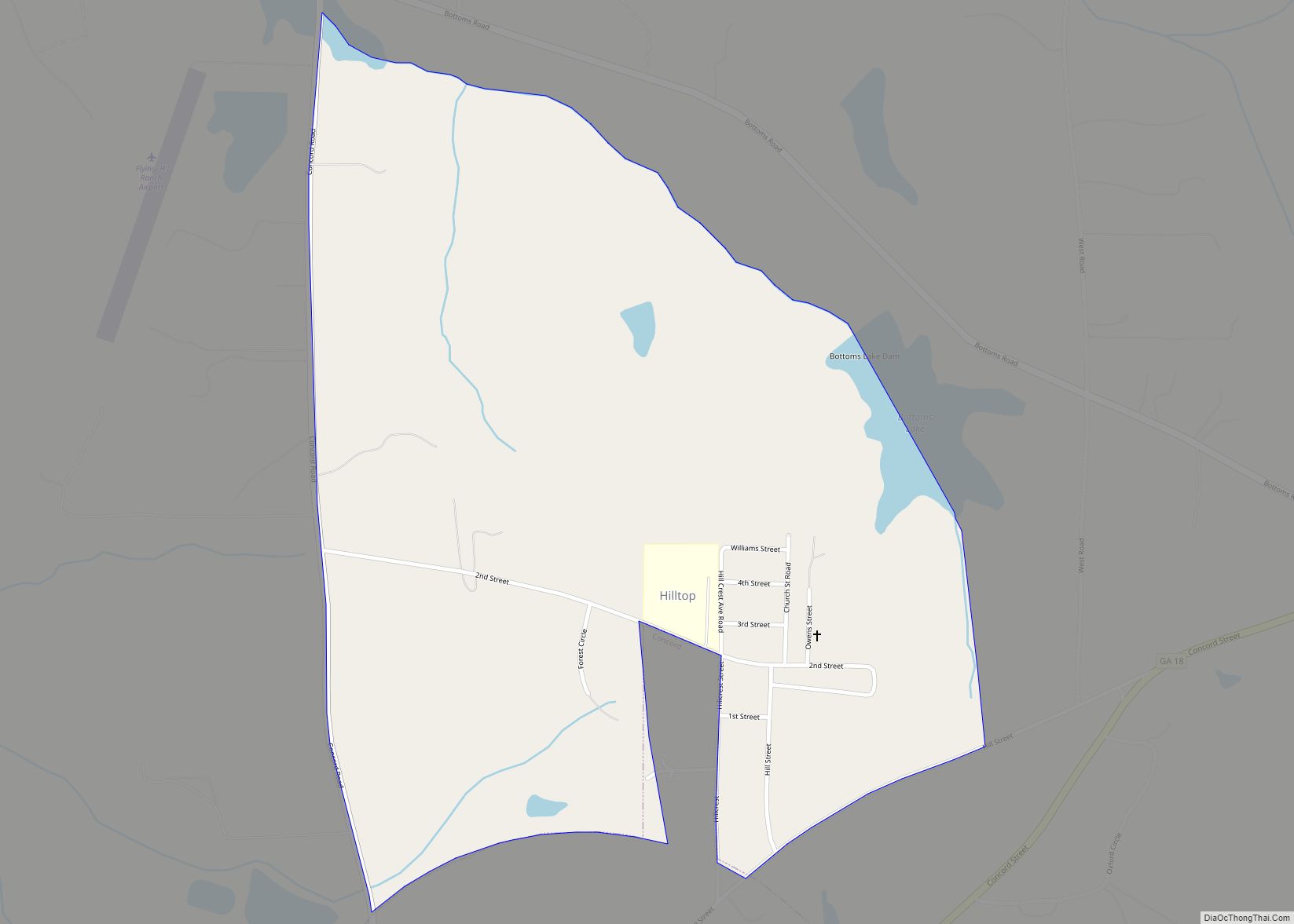
Hilltop is a census-designated place (CDP) in Pike County, Georgia, United States. The population was 401 at the 2000 census. Hilltop CDP overview: Name: Hilltop CDP LSAD Code: 57 LSAD Description: CDP (suffix) State: Georgia County: Pike County Elevation: 850 ft (259 m) Total Area: 0.98 sq mi (2.55 km²) Land Area: 0.96 sq mi (2.49 km²) Water Area: 0.02 sq mi (0.06 km²) Total Population: ... Read more
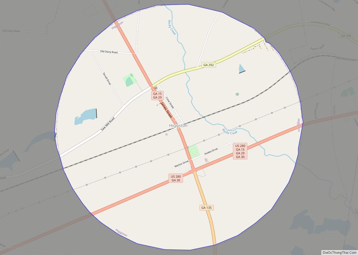
Higgston is a town in Montgomery County, Georgia, United States. The population was 314 at the 2020 census. It is part of the Vidalia Micropolitan Statistical Area. Higgston town overview: Name: Higgston town LSAD Code: 43 LSAD Description: town (suffix) State: Georgia County: Montgomery County Elevation: 259 ft (79 m) Total Area: 3.15 sq mi (8.17 km²) Land Area: 3.15 sq mi ... Read more
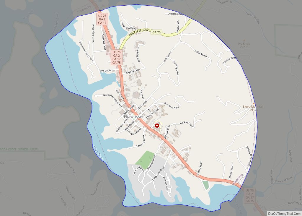
Hiawassee is the county seat of Towns County, Georgia, United States. The community’s population was 880 at the 2010 census. Its name is derived from the Cherokee—or perhaps Creek—word Ayuhwasi, which means meadow, (A variant spelling, “Hiwassee,” is used for the local river and some other Appalachian place names.) Hiawassee is also known in the ... Read more
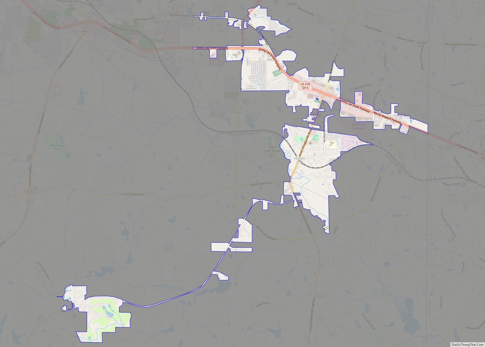
Hiram (/Hai:rm/) is a city in Paulding County, Georgia, United States. As of the 2020 census, the population is 4,929. Hiram city overview: Name: Hiram city LSAD Code: 25 LSAD Description: city (suffix) State: Georgia County: Paulding County Elevation: 965 ft (294 m) Total Area: 3.96 sq mi (10.25 km²) Land Area: 3.93 sq mi (10.18 km²) Water Area: 0.03 sq mi (0.06 km²) Total Population: ... Read more
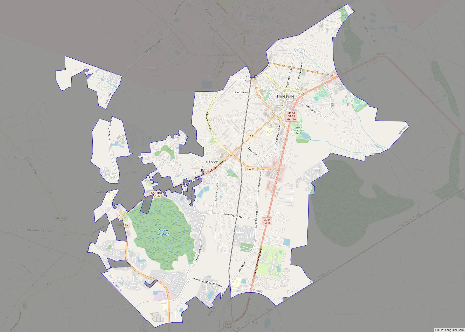
Hinesville is a city in Liberty County, Georgia, United States, located on the Atlantic coastal plain. The population was 33,437 at the 2010 census and an estimated 33,273 in 2019. The city is the county seat of Liberty County. It is the principal city of the Hinesville metropolitan area, which comprises all of Liberty County, ... Read more
