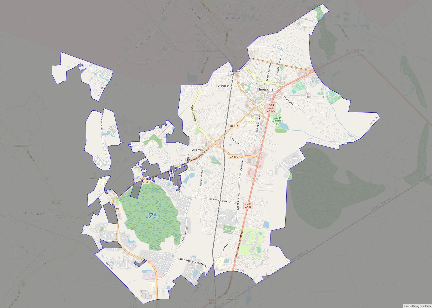
Hinesville is a city in Liberty County, Georgia, United States, located on the Atlantic coastal plain. The population was 33,437 at the 2010 census and an estimated 33,273 in 2019. The city is the county seat of Liberty County. It is the principal city of the Hinesville metropolitan area, which comprises all of Liberty County, including the Fort Stewart army installation, plus neighboring Long County.
| Name: | Hinesville city |
|---|---|
| LSAD Code: | 25 |
| LSAD Description: | city (suffix) |
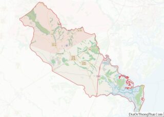
| State: | Georgia |
| County: | Liberty County |
| Elevation: | 75 ft (23 m) |
| Land Area: | 18.31 sq mi (47.42 km²) |
| Water Area: | 0.07 sq mi (0.19 km²) |
| Population Density: | 1,905.67/sq mi (735.78/km²) |
| ZIP code: | 31310, 31313 |
| Area code: | 912 |
| FIPS code: | 1338964 |
| GNISfeature ID: | 0331992 |
| Website: | www.cityofhinesville.org |
Online Interactive Map
Click on ![]() to view map in "full screen" mode.
to view map in "full screen" mode.
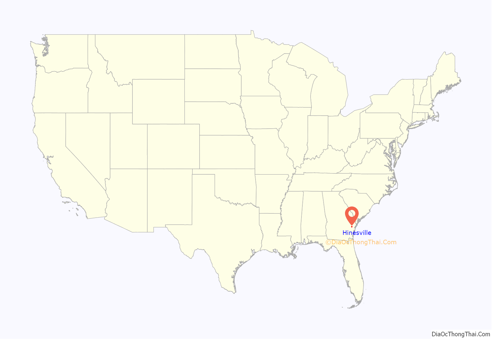
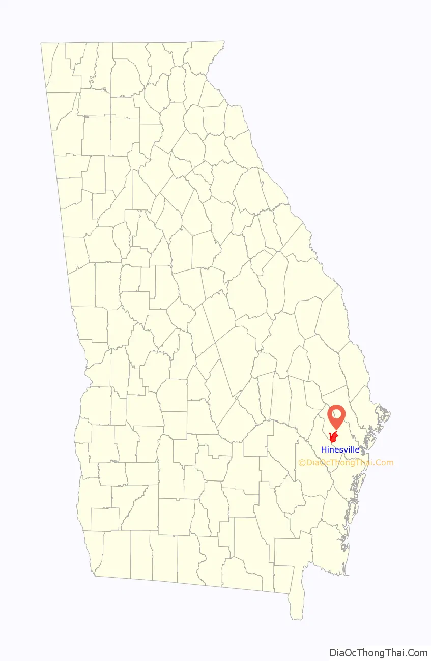
Hinesville location map. Where is Hinesville city?
History
Hinesville was founded in 1837. That same year, the seat of Liberty County was transferred to Hinesville from Riceboro. It was incorporated as a city in 1916. The city is named for Charleton Hines, a state senator.
A 2017 report by Business Insider listed Hinesville as the most boring city in Georgia, noting that there were only 25 full-service restaurants, four bars, 13 hotels, and no museums in the Hinesville metropolitan area.
Hinesville Road Map
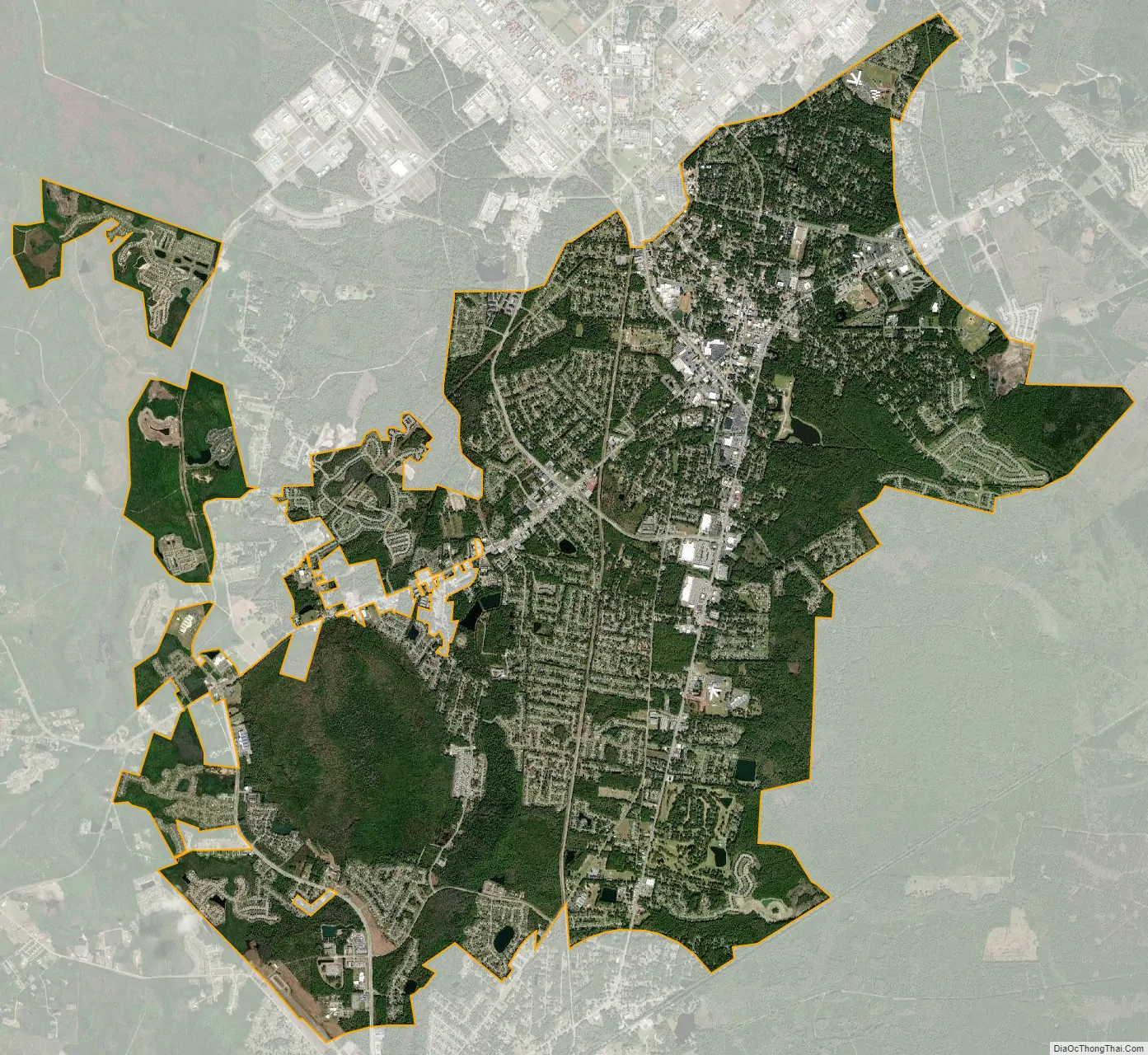
Hinesville city Satellite Map
Geography
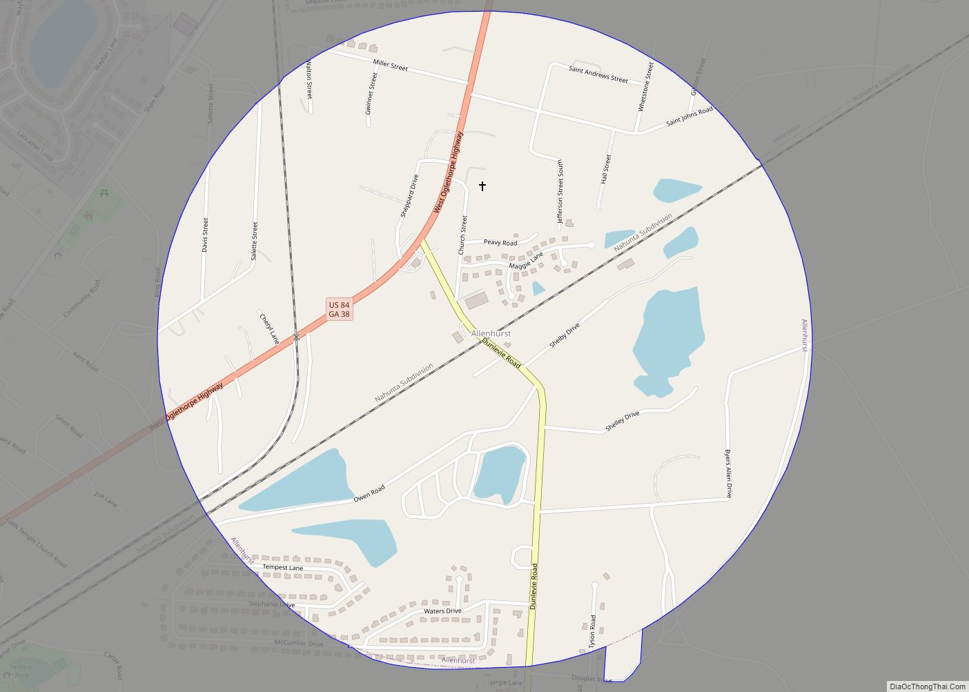
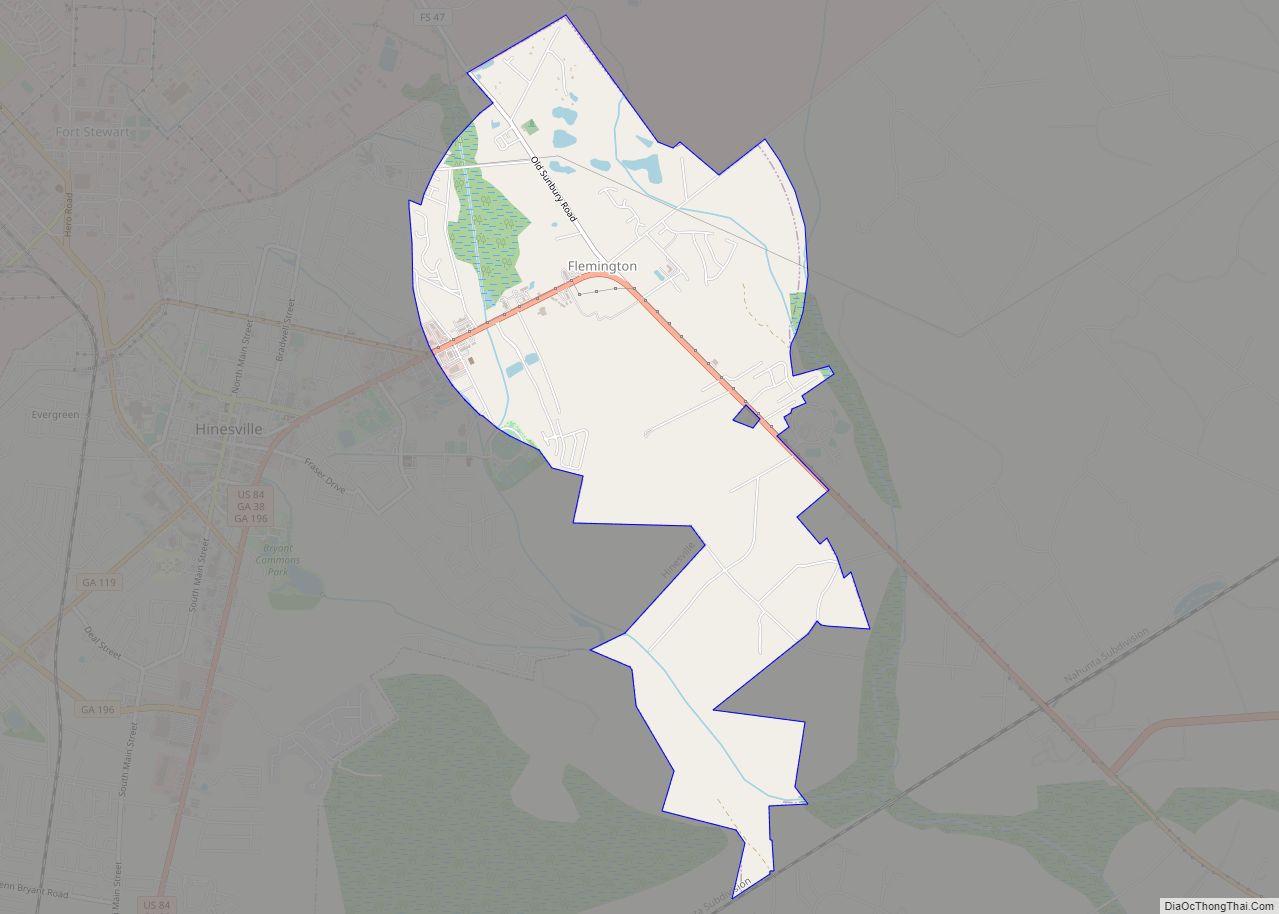
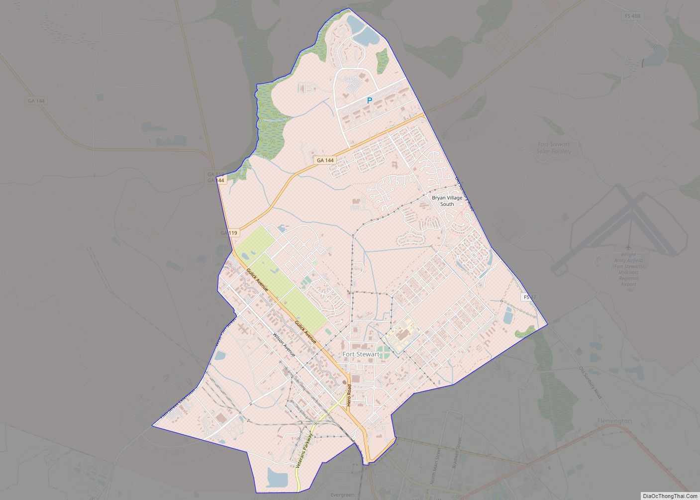
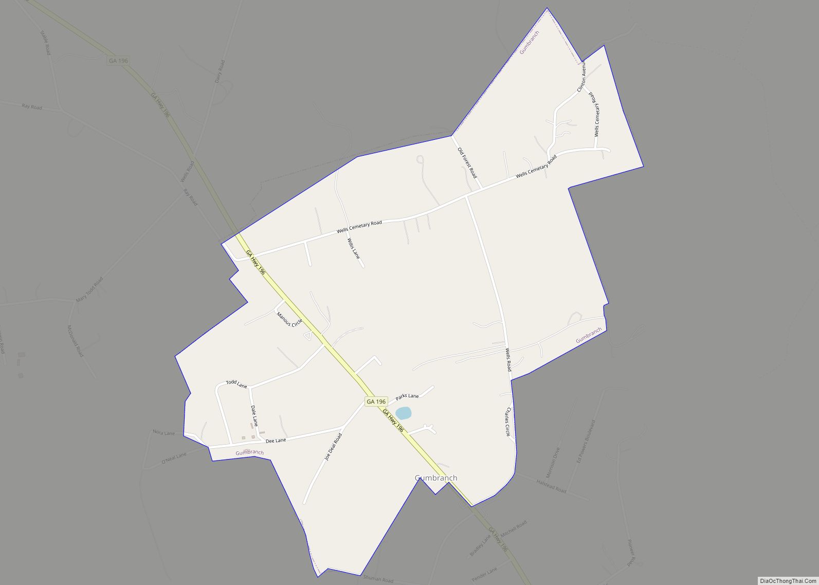
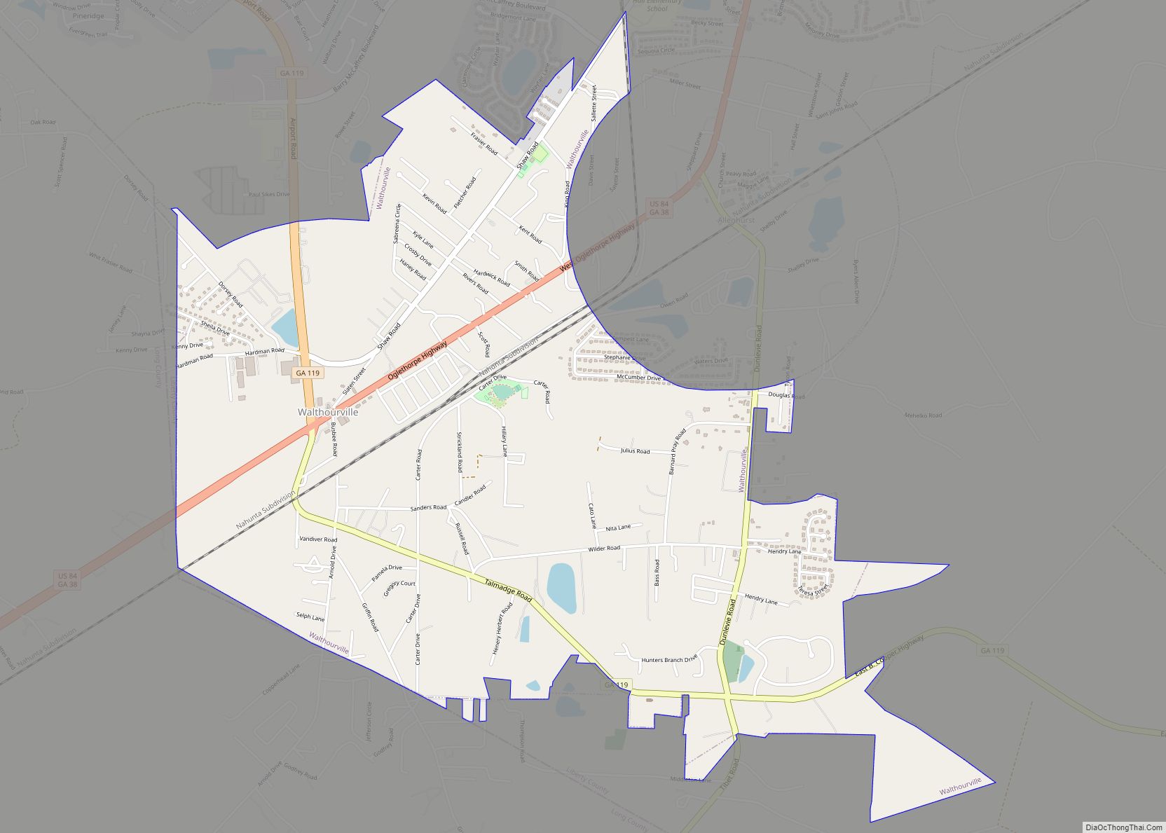
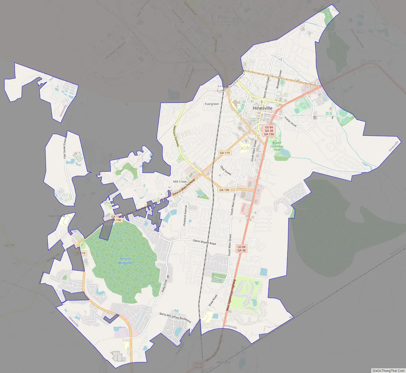
Hinesville is located west of the center of Liberty County, on the south side of Fort Stewart, the largest U.S. Army installation by area in the eastern United States. The city is bordered to the east by Flemington and to the south by Allenhurst and Walthourville. To the southwest the city limits extend to the Long County line.
U.S. Route 84 passes through the city, leading east 15 miles (24 km) to Interstate 95 near Midway and southwest 14 miles (23 km) to U.S. Route 301 at Ludowici. Hinesville is the second largest city on US 84 in Georgia after Valdosta. Savannah is 39 miles (63 km) northeast of Hinesville, and Brunswick is 55 miles (89 km) to the south.
According to the United States Census Bureau, the city has an area of 18.2 square miles (47.2 km), of which 0.1 square miles (0.2 km), or 0.40%, are water. Most of Hinesville drains east via Peacock Creek to the tidal North Newport River, while the west side of the city drains north via Mill Creek, part of the Canoochee River watershed flowing east to the tidal Ogeechee River.
See also
Map of Georgia State and its subdivision:- Appling
- Atkinson
- Bacon
- Baker
- Baldwin
- Banks
- Barrow
- Bartow
- Ben Hill
- Berrien
- Bibb
- Bleckley
- Brantley
- Brooks
- Bryan
- Bulloch
- Burke
- Butts
- Calhoun
- Camden
- Candler
- Carroll
- Catoosa
- Charlton
- Chatham
- Chattahoochee
- Chattooga
- Cherokee
- Clarke
- Clay
- Clayton
- Clinch
- Cobb
- Coffee
- Colquitt
- Columbia
- Cook
- Coweta
- Crawford
- Crisp
- Dade
- Dawson
- Decatur
- DeKalb
- Dodge
- Dooly
- Dougherty
- Douglas
- Early
- Echols
- Effingham
- Elbert
- Emanuel
- Evans
- Fannin
- Fayette
- Floyd
- Forsyth
- Franklin
- Fulton
- Gilmer
- Glascock
- Glynn
- Gordon
- Grady
- Greene
- Gwinnett
- Habersham
- Hall
- Hancock
- Haralson
- Harris
- Hart
- Heard
- Henry
- Houston
- Irwin
- Jackson
- Jasper
- Jeff Davis
- Jefferson
- Jenkins
- Johnson
- Jones
- Lamar
- Lanier
- Laurens
- Lee
- Liberty
- Lincoln
- Long
- Lowndes
- Lumpkin
- Macon
- Madison
- Marion
- McDuffie
- McIntosh
- Meriwether
- Miller
- Mitchell
- Monroe
- Montgomery
- Morgan
- Murray
- Muscogee
- Newton
- Oconee
- Oglethorpe
- Paulding
- Peach
- Pickens
- Pierce
- Pike
- Polk
- Pulaski
- Putnam
- Quitman
- Rabun
- Randolph
- Richmond
- Rockdale
- Schley
- Screven
- Seminole
- Spalding
- Stephens
- Stewart
- Sumter
- Talbot
- Taliaferro
- Tattnall
- Taylor
- Telfair
- Terrell
- Thomas
- Tift
- Toombs
- Towns
- Treutlen
- Troup
- Turner
- Twiggs
- Union
- Upson
- Walker
- Walton
- Ware
- Warren
- Washington
- Wayne
- Webster
- Wheeler
- White
- Whitfield
- Wilcox
- Wilkes
- Wilkinson
- Worth
- Alabama
- Alaska
- Arizona
- Arkansas
- California
- Colorado
- Connecticut
- Delaware
- District of Columbia
- Florida
- Georgia
- Hawaii
- Idaho
- Illinois
- Indiana
- Iowa
- Kansas
- Kentucky
- Louisiana
- Maine
- Maryland
- Massachusetts
- Michigan
- Minnesota
- Mississippi
- Missouri
- Montana
- Nebraska
- Nevada
- New Hampshire
- New Jersey
- New Mexico
- New York
- North Carolina
- North Dakota
- Ohio
- Oklahoma
- Oregon
- Pennsylvania
- Rhode Island
- South Carolina
- South Dakota
- Tennessee
- Texas
- Utah
- Vermont
- Virginia
- Washington
- West Virginia
- Wisconsin
- Wyoming