Hiram (/Hai:rm/) is a city in Paulding County, Georgia, United States. As of the 2020 census, the population is 4,929.
| Name: | Hiram city |
|---|---|
| LSAD Code: | 25 |
| LSAD Description: | city (suffix) |
| State: | Georgia |
| County: | Paulding County |
| Elevation: | 965 ft (294 m) |
| Total Area: | 3.96 sq mi (10.25 km²) |
| Land Area: | 3.93 sq mi (10.18 km²) |
| Water Area: | 0.03 sq mi (0.06 km²) |
| Total Population: | 4,929 |
| Population Density: | 1,253.88/sq mi (484.10/km²) |
| ZIP code: | 30141 |
| Area code: | 770/678/470 |
| FIPS code: | 1339076 |
| GNISfeature ID: | 0331996 |
| Website: | www.cityofhiramga.gov |
Online Interactive Map
Click on ![]() to view map in "full screen" mode.
to view map in "full screen" mode.
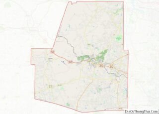
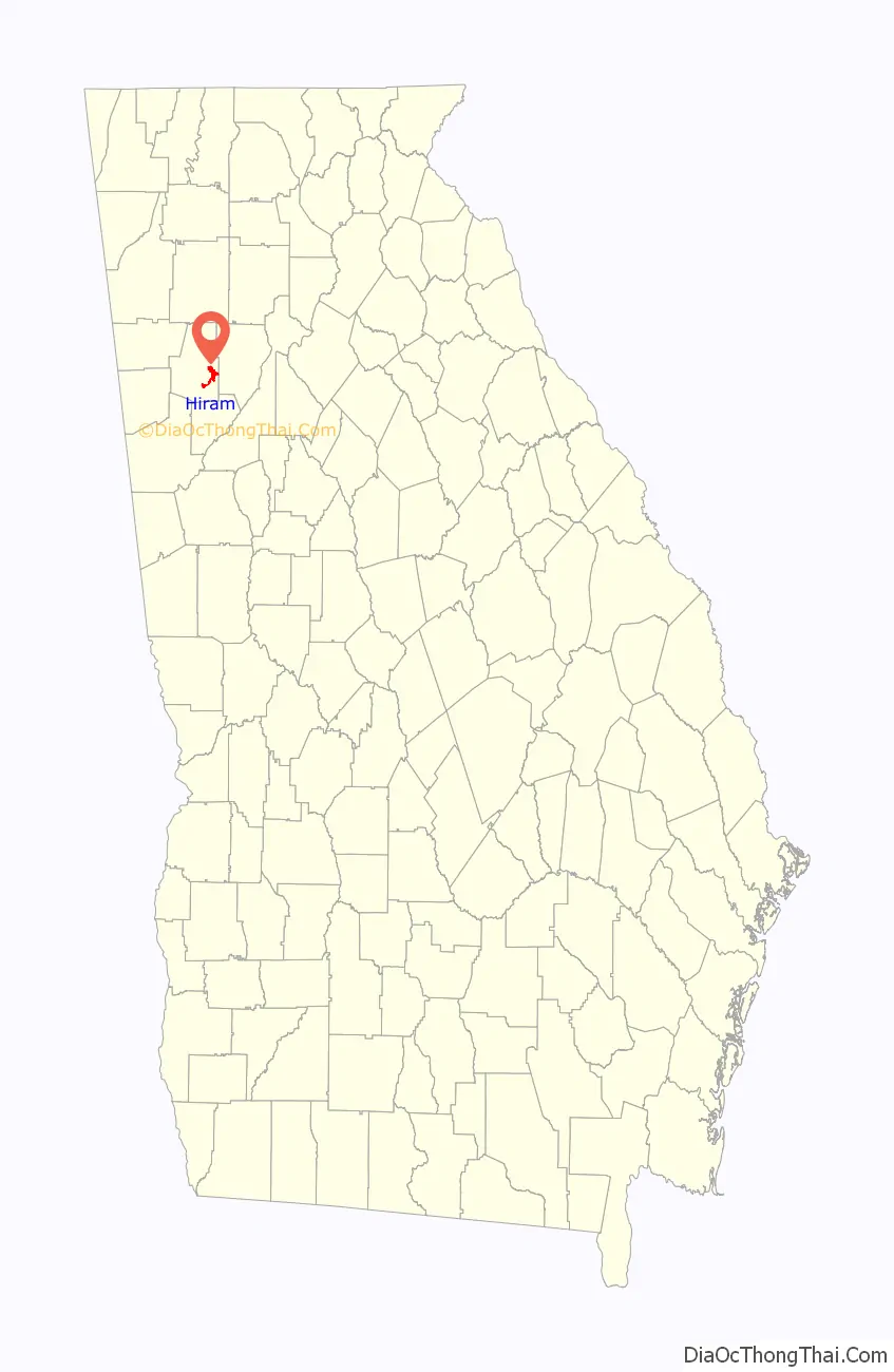
Hiram location map. Where is Hiram city?

History
The Georgia General Assembly incorporated the Town of Hiram in 1891. The city was named after Hiram Baguette, the town’s first postmaster.
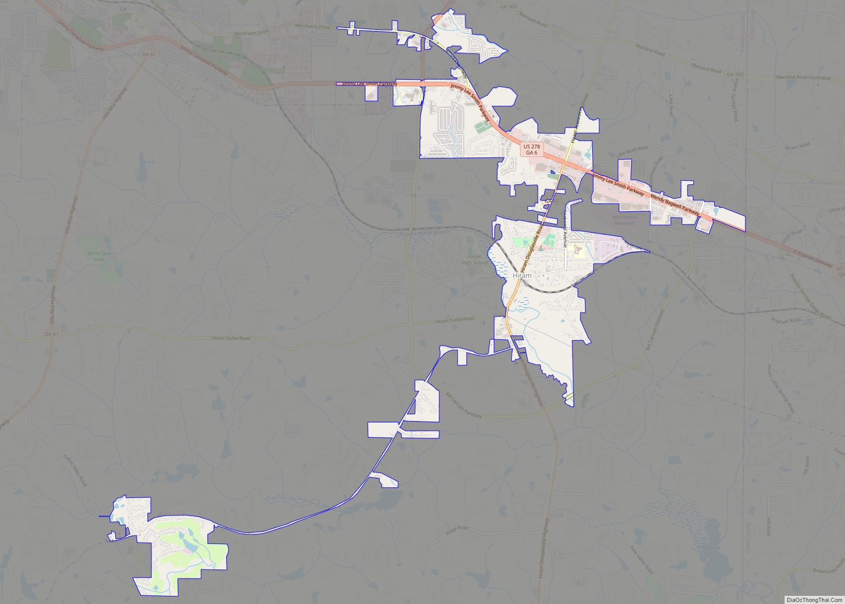
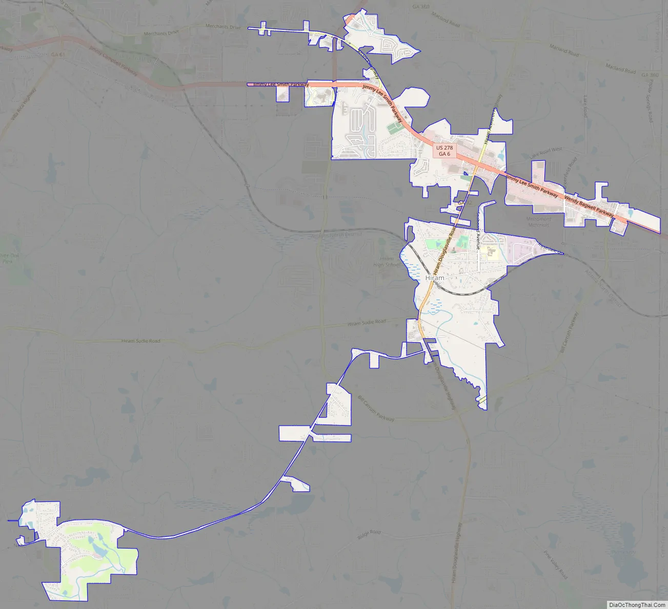
Hiram Road Map
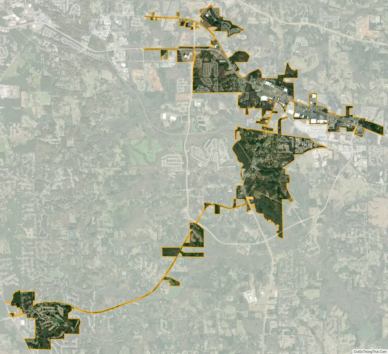
Hiram city Satellite Map
Geography
Hiram is located at 33°51′56″N 84°46′29″W / 33.86556°N 84.77472°W / 33.86556; -84.77472 (33.865575, -84.774593).
According to the United States Census Bureau, the city has a total area of 3.0 square miles (7.8 km), of which 3.0 square miles (7.8 km) is land and 0.04 square miles (0.10 km) (0.66%) is water.
At the intersection of US Highway 278 and Georgia State Route 92, Atlanta’s tallest buildings can be seen, specifically the Bank of America Tower, which stands 23 miles away from the junction.
Via GA-92, Acworth is 18 mi (29 km) to the north, and Douglasville is 9 mi (14 km) to the south. Via US-278, Dallas is 8 mi (13 km) to the northwest, and Powder Springs is 5 mi (8 km) to the east.
See also
Map of Georgia State and its subdivision:- Appling
- Atkinson
- Bacon
- Baker
- Baldwin
- Banks
- Barrow
- Bartow
- Ben Hill
- Berrien
- Bibb
- Bleckley
- Brantley
- Brooks
- Bryan
- Bulloch
- Burke
- Butts
- Calhoun
- Camden
- Candler
- Carroll
- Catoosa
- Charlton
- Chatham
- Chattahoochee
- Chattooga
- Cherokee
- Clarke
- Clay
- Clayton
- Clinch
- Cobb
- Coffee
- Colquitt
- Columbia
- Cook
- Coweta
- Crawford
- Crisp
- Dade
- Dawson
- Decatur
- DeKalb
- Dodge
- Dooly
- Dougherty
- Douglas
- Early
- Echols
- Effingham
- Elbert
- Emanuel
- Evans
- Fannin
- Fayette
- Floyd
- Forsyth
- Franklin
- Fulton
- Gilmer
- Glascock
- Glynn
- Gordon
- Grady
- Greene
- Gwinnett
- Habersham
- Hall
- Hancock
- Haralson
- Harris
- Hart
- Heard
- Henry
- Houston
- Irwin
- Jackson
- Jasper
- Jeff Davis
- Jefferson
- Jenkins
- Johnson
- Jones
- Lamar
- Lanier
- Laurens
- Lee
- Liberty
- Lincoln
- Long
- Lowndes
- Lumpkin
- Macon
- Madison
- Marion
- McDuffie
- McIntosh
- Meriwether
- Miller
- Mitchell
- Monroe
- Montgomery
- Morgan
- Murray
- Muscogee
- Newton
- Oconee
- Oglethorpe
- Paulding
- Peach
- Pickens
- Pierce
- Pike
- Polk
- Pulaski
- Putnam
- Quitman
- Rabun
- Randolph
- Richmond
- Rockdale
- Schley
- Screven
- Seminole
- Spalding
- Stephens
- Stewart
- Sumter
- Talbot
- Taliaferro
- Tattnall
- Taylor
- Telfair
- Terrell
- Thomas
- Tift
- Toombs
- Towns
- Treutlen
- Troup
- Turner
- Twiggs
- Union
- Upson
- Walker
- Walton
- Ware
- Warren
- Washington
- Wayne
- Webster
- Wheeler
- White
- Whitfield
- Wilcox
- Wilkes
- Wilkinson
- Worth
- Alabama
- Alaska
- Arizona
- Arkansas
- California
- Colorado
- Connecticut
- Delaware
- District of Columbia
- Florida
- Georgia
- Hawaii
- Idaho
- Illinois
- Indiana
- Iowa
- Kansas
- Kentucky
- Louisiana
- Maine
- Maryland
- Massachusetts
- Michigan
- Minnesota
- Mississippi
- Missouri
- Montana
- Nebraska
- Nevada
- New Hampshire
- New Jersey
- New Mexico
- New York
- North Carolina
- North Dakota
- Ohio
- Oklahoma
- Oregon
- Pennsylvania
- Rhode Island
- South Carolina
- South Dakota
- Tennessee
- Texas
- Utah
- Vermont
- Virginia
- Washington
- West Virginia
- Wisconsin
- Wyoming