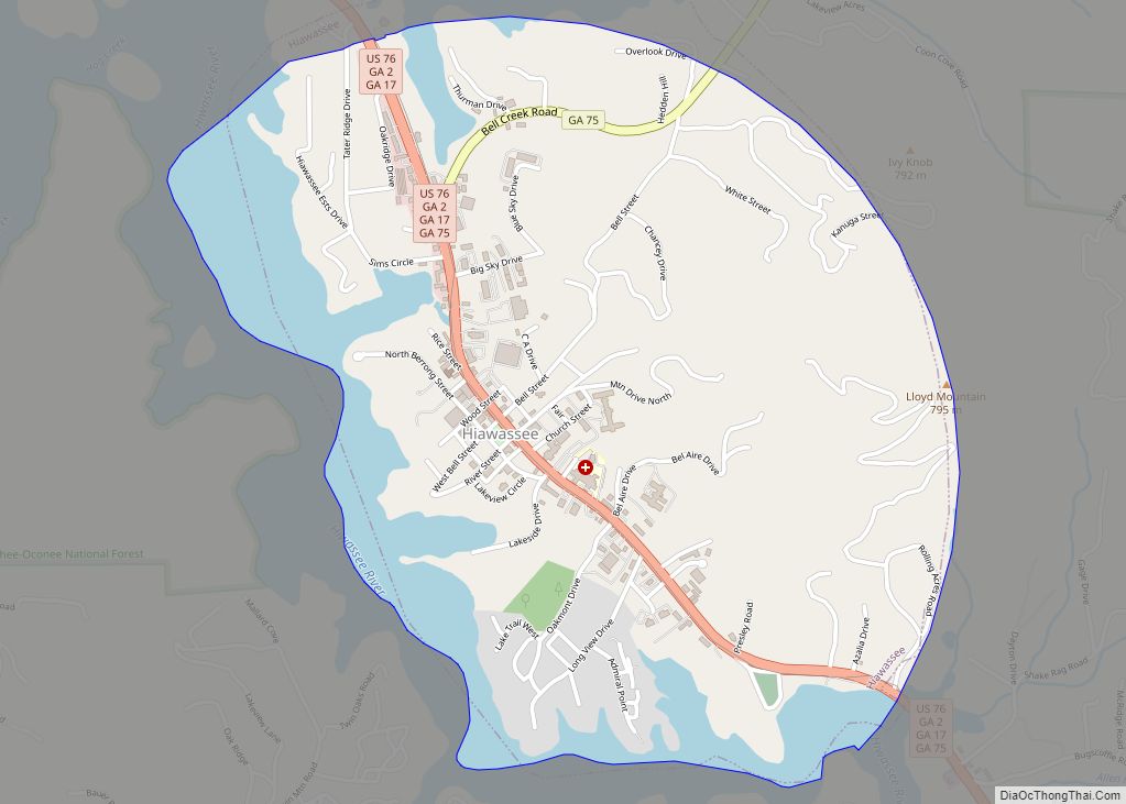
Hiawassee is the county seat of Towns County, Georgia, United States. The community’s population was 880 at the 2010 census. Its name is derived from the Cherokee—or perhaps Creek—word Ayuhwasi, which means meadow, (A variant spelling, “Hiwassee,” is used for the local river and some other Appalachian place names.) Hiawassee is also known in the novel “Restart” by Gordon Korman.
| Name: | Hiawassee city |
|---|---|
| LSAD Code: | 25 |
| LSAD Description: | city (suffix) |
| State: | Georgia |
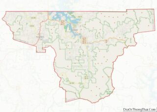
| County: | Towns County |
| Elevation: | 1,969 ft (600 m) |
| Total Area: | 2.08 sq mi (5.38 km²) |
| Land Area: | 1.63 sq mi (4.22 km²) |
| Water Area: | 0.45 sq mi (1.16 km²) |
| Total Population: | 981 |
| Population Density: | 602.21/sq mi (232.46/km²) |
| ZIP code: | 30546 |
| Area code: | 706 |
| FIPS code: | 1338124 |
| GNISfeature ID: | 0328122 |
| Website: | hiawasseega.gov |
Online Interactive Map
Click on ![]() to view map in "full screen" mode.
to view map in "full screen" mode.
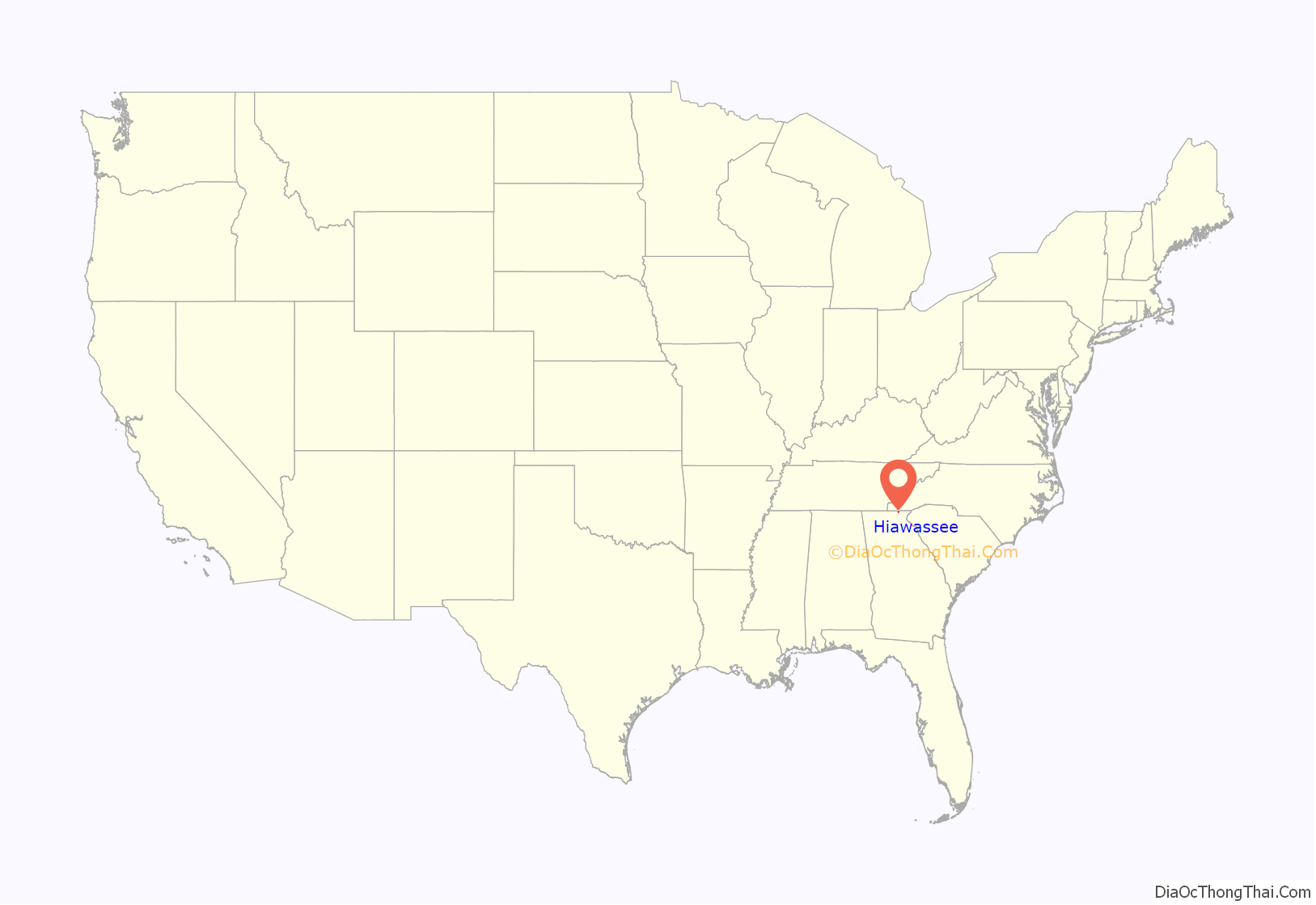
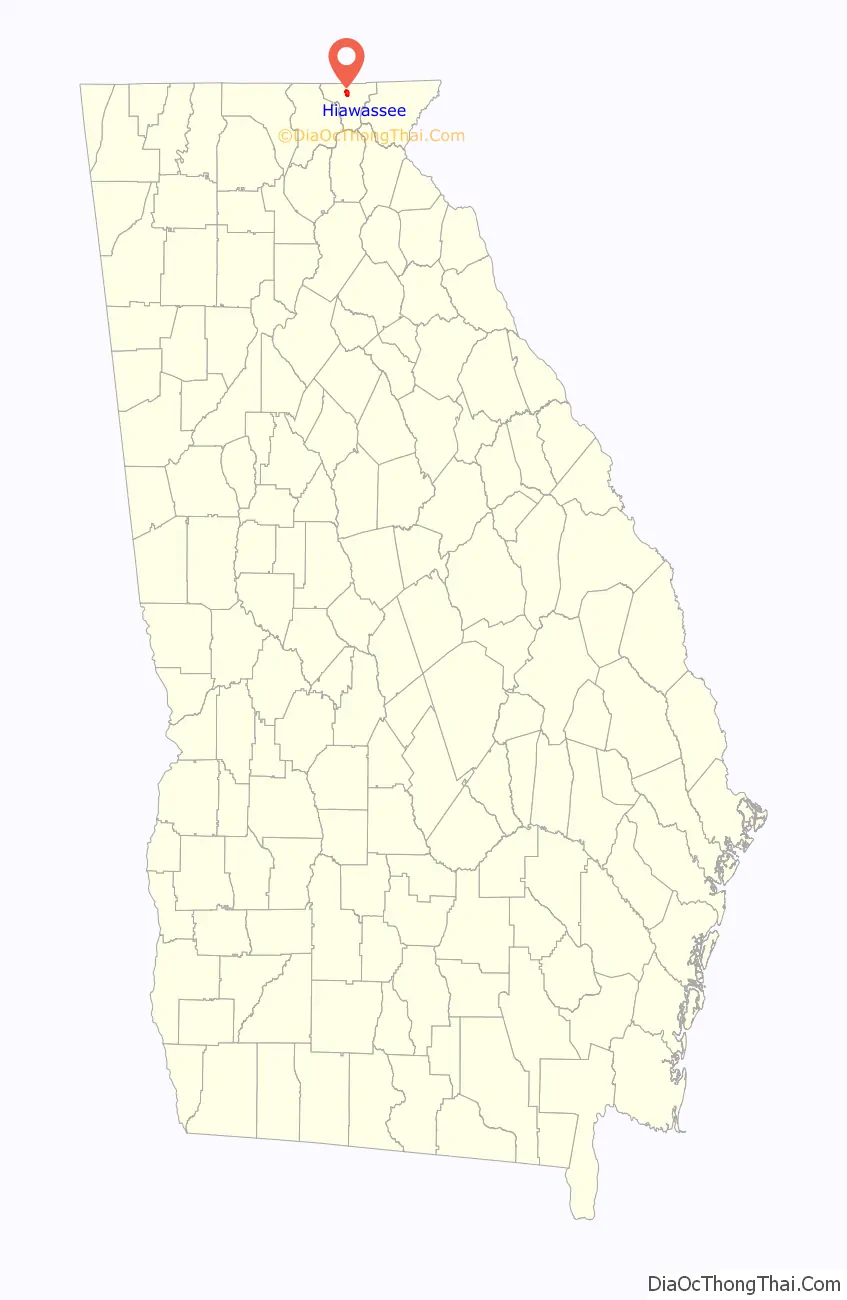
Hiawassee location map. Where is Hiawassee city?
History
A United States fur trade factory was situated here between 1807 and 1811. Settled circa 1820, Hiawassee was designated seat of the newly formed Towns County in 1856. It was incorporated as a town in 1870 and as a city in 1916, after settlers violently removed the Cherokee communities living there prior in a night of massacre in 1776. Hiawassee was originally inhabited by predominantly Cherokee-speaking peoples, but the myth that the town was named after a Cherokee or otherwise Native American princess is false and is as mythical as the Cherokee princess herself. Hiawassee’s name is nature-based, as mentioned above.
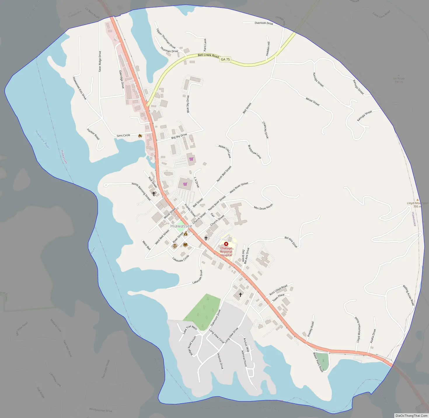
Hiawassee Road Map
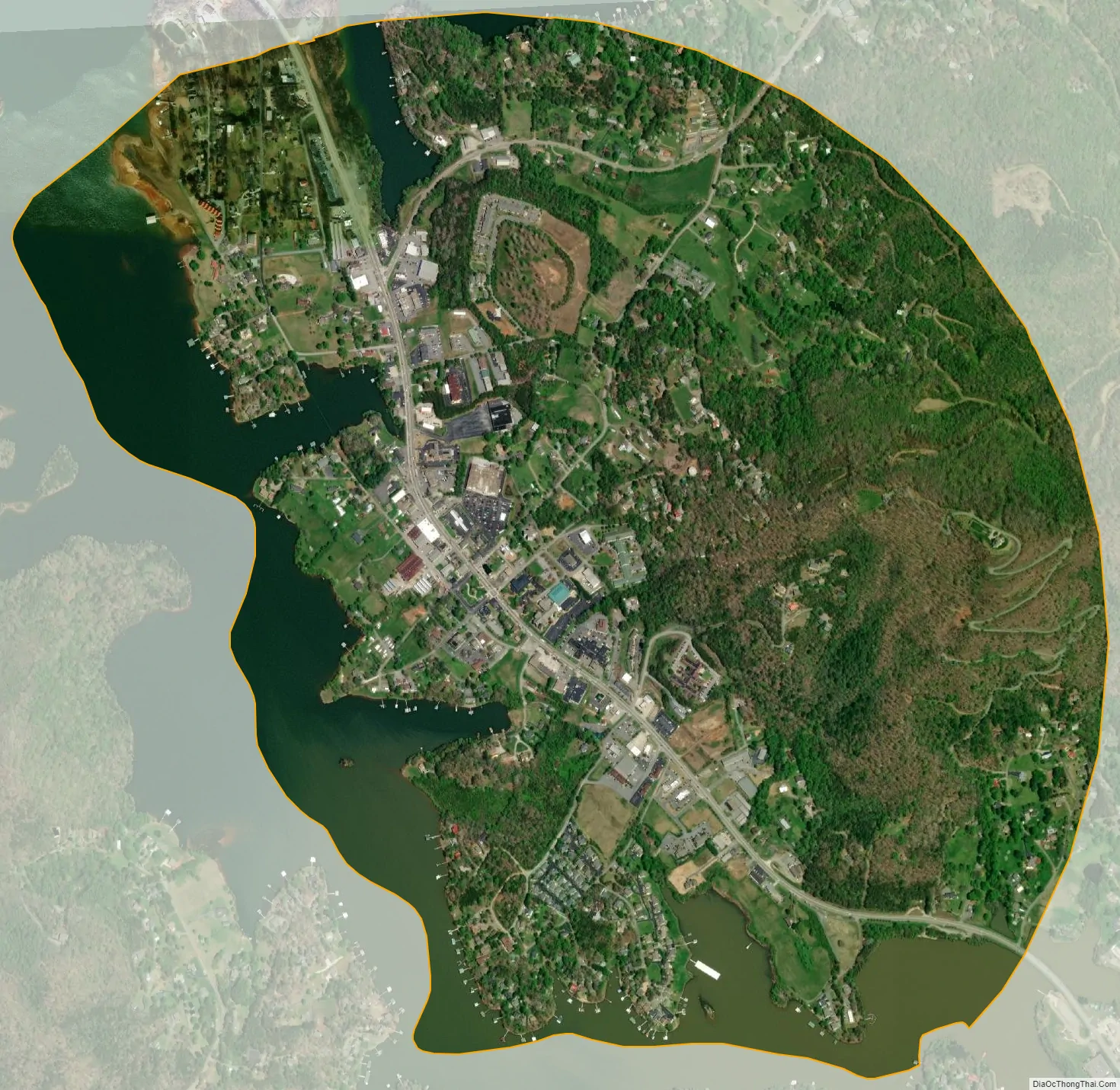
Hiawassee city Satellite Map
Geography
Hiawassee is located on the Hiwassee River at 34°56′58″N 83°45′18″W / 34.94944°N 83.75500°W / 34.94944; -83.75500 (34.949428, -83.755078).
According to the United States Census Bureau, the town has a total area of 2.2 square miles (5.7 km), of which 1.7 square miles (4.4 km) is land and 0.5 square miles (1.3 km) (21.86%) is water.
Hiawassee is approximately 2000 feet (609 m) above sea level.
See also
Map of Georgia State and its subdivision:- Appling
- Atkinson
- Bacon
- Baker
- Baldwin
- Banks
- Barrow
- Bartow
- Ben Hill
- Berrien
- Bibb
- Bleckley
- Brantley
- Brooks
- Bryan
- Bulloch
- Burke
- Butts
- Calhoun
- Camden
- Candler
- Carroll
- Catoosa
- Charlton
- Chatham
- Chattahoochee
- Chattooga
- Cherokee
- Clarke
- Clay
- Clayton
- Clinch
- Cobb
- Coffee
- Colquitt
- Columbia
- Cook
- Coweta
- Crawford
- Crisp
- Dade
- Dawson
- Decatur
- DeKalb
- Dodge
- Dooly
- Dougherty
- Douglas
- Early
- Echols
- Effingham
- Elbert
- Emanuel
- Evans
- Fannin
- Fayette
- Floyd
- Forsyth
- Franklin
- Fulton
- Gilmer
- Glascock
- Glynn
- Gordon
- Grady
- Greene
- Gwinnett
- Habersham
- Hall
- Hancock
- Haralson
- Harris
- Hart
- Heard
- Henry
- Houston
- Irwin
- Jackson
- Jasper
- Jeff Davis
- Jefferson
- Jenkins
- Johnson
- Jones
- Lamar
- Lanier
- Laurens
- Lee
- Liberty
- Lincoln
- Long
- Lowndes
- Lumpkin
- Macon
- Madison
- Marion
- McDuffie
- McIntosh
- Meriwether
- Miller
- Mitchell
- Monroe
- Montgomery
- Morgan
- Murray
- Muscogee
- Newton
- Oconee
- Oglethorpe
- Paulding
- Peach
- Pickens
- Pierce
- Pike
- Polk
- Pulaski
- Putnam
- Quitman
- Rabun
- Randolph
- Richmond
- Rockdale
- Schley
- Screven
- Seminole
- Spalding
- Stephens
- Stewart
- Sumter
- Talbot
- Taliaferro
- Tattnall
- Taylor
- Telfair
- Terrell
- Thomas
- Tift
- Toombs
- Towns
- Treutlen
- Troup
- Turner
- Twiggs
- Union
- Upson
- Walker
- Walton
- Ware
- Warren
- Washington
- Wayne
- Webster
- Wheeler
- White
- Whitfield
- Wilcox
- Wilkes
- Wilkinson
- Worth
- Alabama
- Alaska
- Arizona
- Arkansas
- California
- Colorado
- Connecticut
- Delaware
- District of Columbia
- Florida
- Georgia
- Hawaii
- Idaho
- Illinois
- Indiana
- Iowa
- Kansas
- Kentucky
- Louisiana
- Maine
- Maryland
- Massachusetts
- Michigan
- Minnesota
- Mississippi
- Missouri
- Montana
- Nebraska
- Nevada
- New Hampshire
- New Jersey
- New Mexico
- New York
- North Carolina
- North Dakota
- Ohio
- Oklahoma
- Oregon
- Pennsylvania
- Rhode Island
- South Carolina
- South Dakota
- Tennessee
- Texas
- Utah
- Vermont
- Virginia
- Washington
- West Virginia
- Wisconsin
- Wyoming