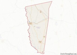
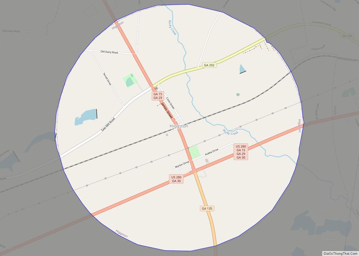
Higgston is a town in Montgomery County, Georgia, United States. The population was 314 at the 2020 census. It is part of the Vidalia Micropolitan Statistical Area.
| Name: | Higgston town |
|---|---|
| LSAD Code: | 43 |
| LSAD Description: | town (suffix) |
| State: | Georgia |
| County: | Montgomery County |
| Elevation: | 259 ft (79 m) |
| Total Area: | 3.15 sq mi (8.17 km²) |
| Land Area: | 3.15 sq mi (8.15 km²) |
| Water Area: | 0.01 sq mi (0.03 km²) |
| Total Population: | 314 |
| Population Density: | 99.84/sq mi (38.55/km²) |
| ZIP code: | 30410 (Ailey) |
| Area code: | 912 |
| FIPS code: | 1338348 |
| GNISfeature ID: | 0331970 |
Online Interactive Map
Click on ![]() to view map in "full screen" mode.
to view map in "full screen" mode.
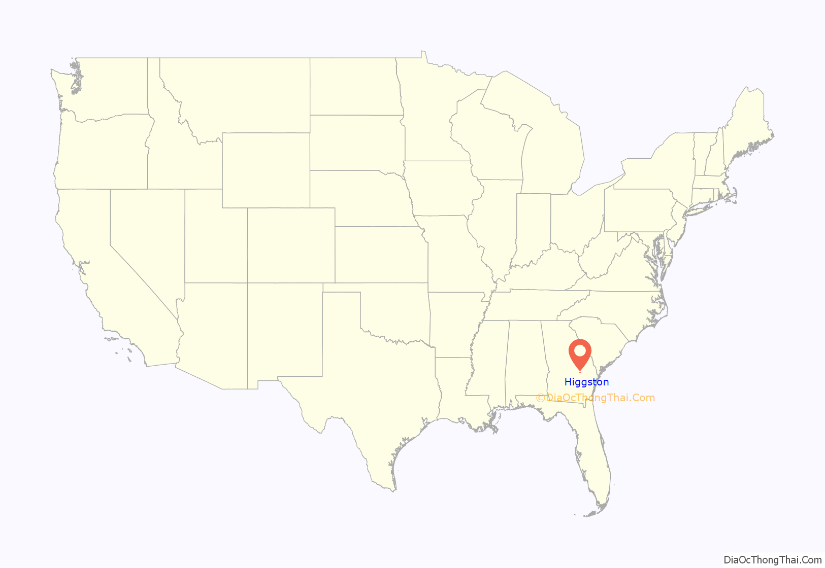
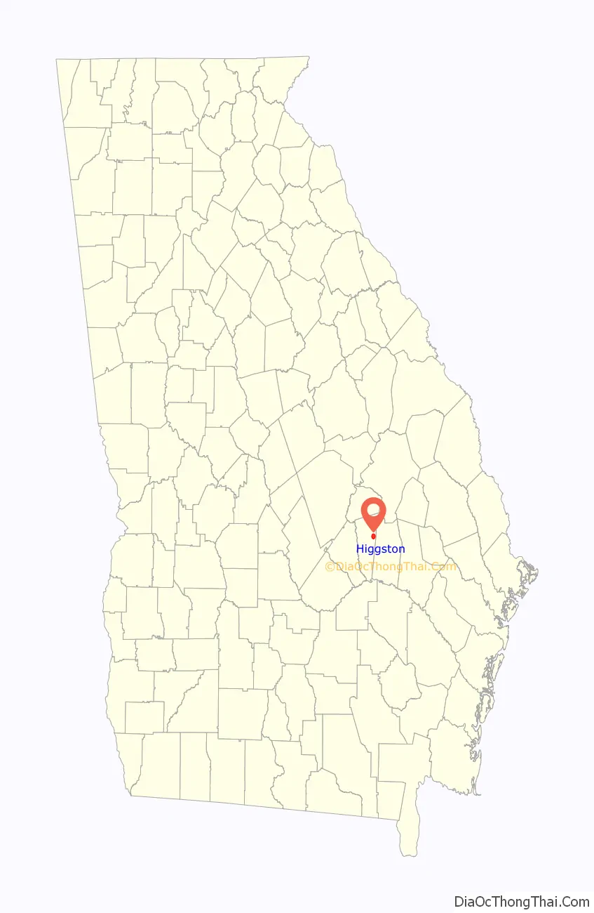
Higgston location map. Where is Higgston town?
History
The Georgia General Assembly incorporated the place as the Town of Higgston in 1903. The community was named after James Higgs, proprietors of several local mills.
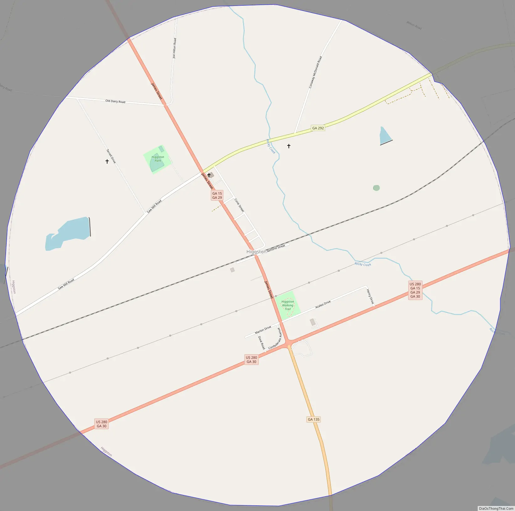
Higgston Road Map
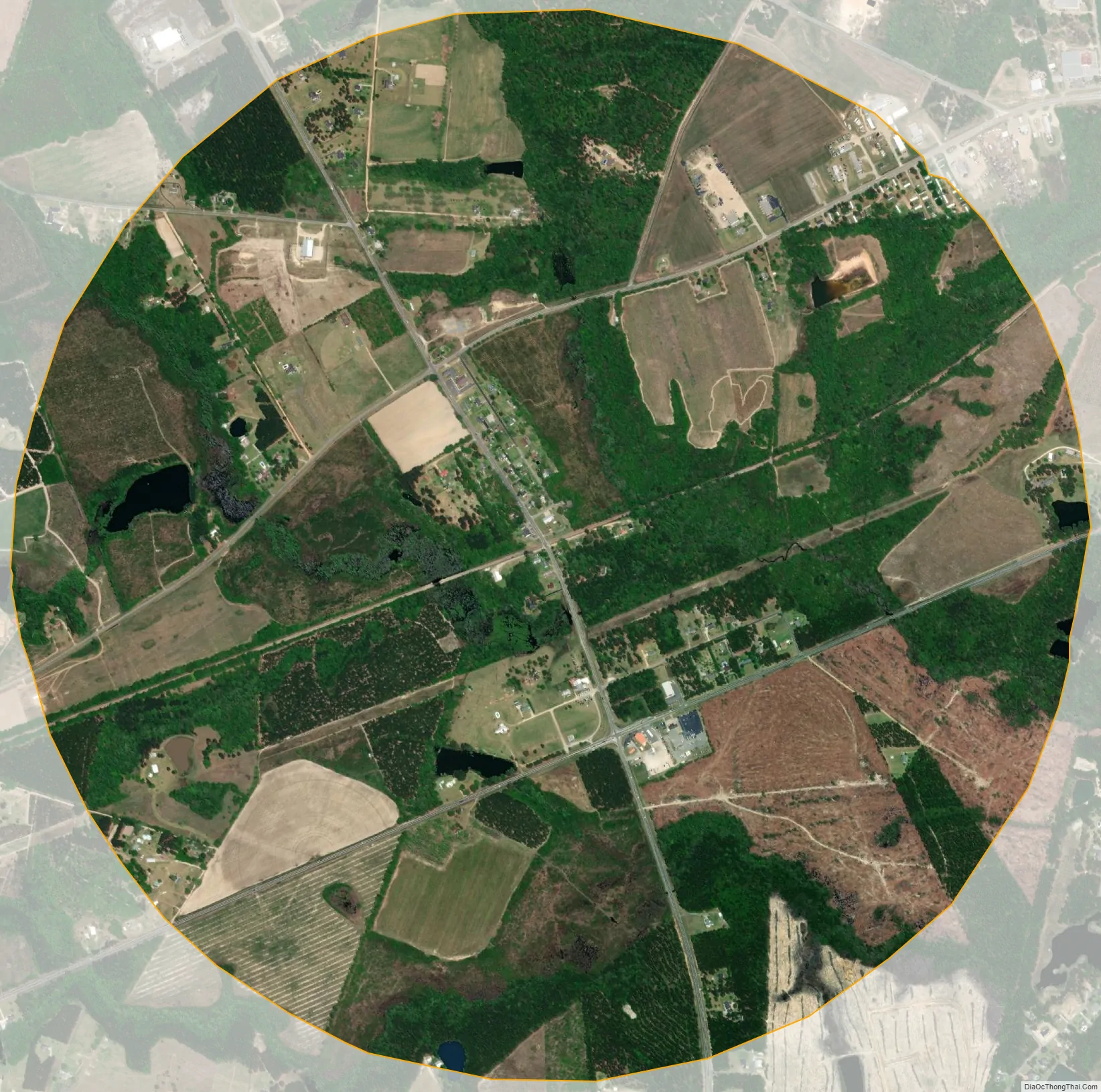
Higgston city Satellite Map
Geography
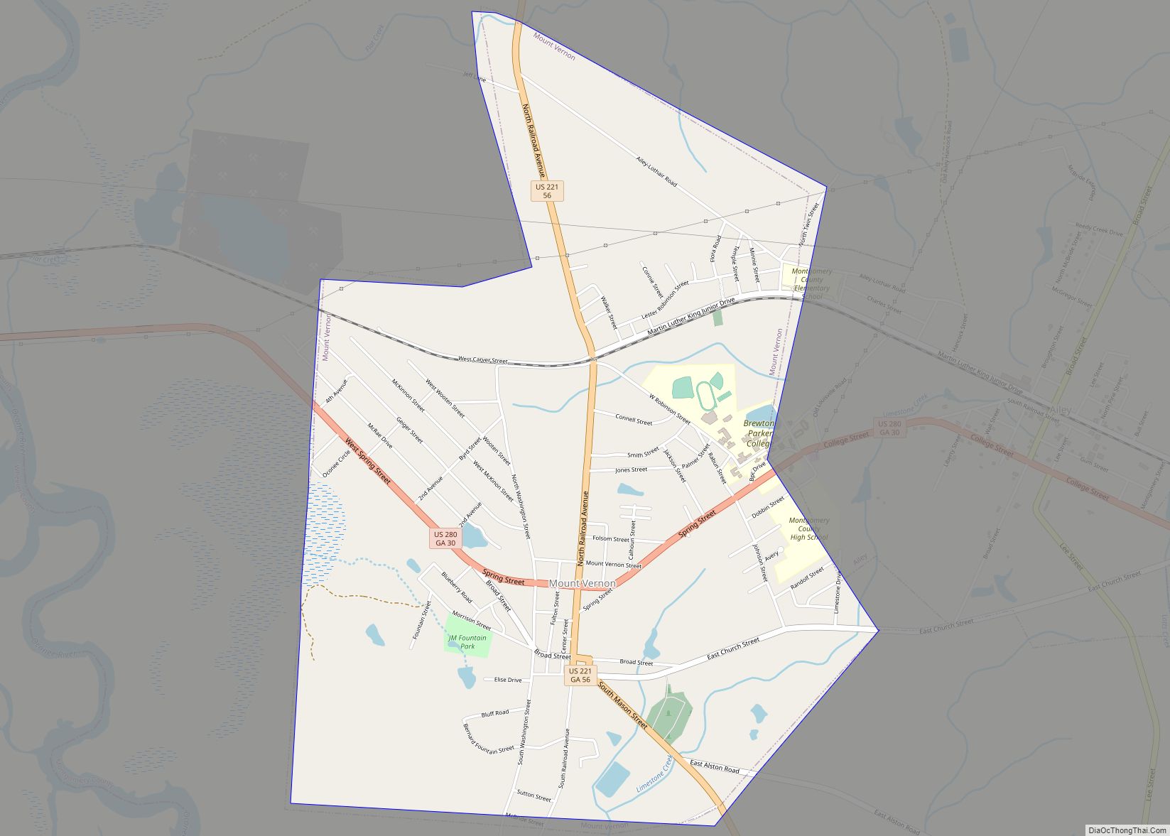
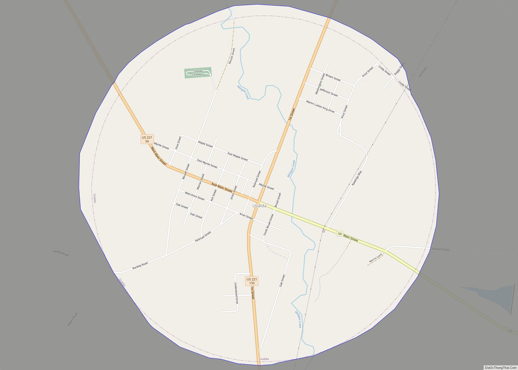
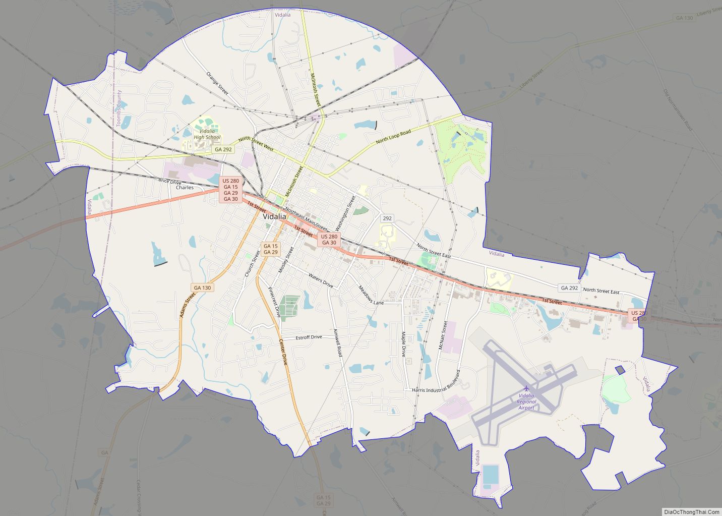
Higgston is located in northeastern Montgomery County at 32°13′2″N 82°28′2″W / 32.21722°N 82.46722°W / 32.21722; -82.46722 (32.217330, -82.467332). U.S. Route 280 passes through the south side of town, leading west 8 miles (13 km) to Mount Vernon, the county seat, and east 3 miles (5 km) to Vidalia. State Routes 15 and 29 pass through the center of Higgston together as James Street and lead northwest 13 miles (21 km) to Soperton, while State Route 135 leads south from US 280 13 miles to Uvalda.
According to the United States Census Bureau, Higgston has a total area of 3.2 square miles (8.3 km), of which 0.01 square miles (0.03 km), or 0.32%, are water. Rocky Creek passes through the east side of town, flowing southeast to the Ohoopee River in Tattnall County.
See also
Map of Georgia State and its subdivision:- Appling
- Atkinson
- Bacon
- Baker
- Baldwin
- Banks
- Barrow
- Bartow
- Ben Hill
- Berrien
- Bibb
- Bleckley
- Brantley
- Brooks
- Bryan
- Bulloch
- Burke
- Butts
- Calhoun
- Camden
- Candler
- Carroll
- Catoosa
- Charlton
- Chatham
- Chattahoochee
- Chattooga
- Cherokee
- Clarke
- Clay
- Clayton
- Clinch
- Cobb
- Coffee
- Colquitt
- Columbia
- Cook
- Coweta
- Crawford
- Crisp
- Dade
- Dawson
- Decatur
- DeKalb
- Dodge
- Dooly
- Dougherty
- Douglas
- Early
- Echols
- Effingham
- Elbert
- Emanuel
- Evans
- Fannin
- Fayette
- Floyd
- Forsyth
- Franklin
- Fulton
- Gilmer
- Glascock
- Glynn
- Gordon
- Grady
- Greene
- Gwinnett
- Habersham
- Hall
- Hancock
- Haralson
- Harris
- Hart
- Heard
- Henry
- Houston
- Irwin
- Jackson
- Jasper
- Jeff Davis
- Jefferson
- Jenkins
- Johnson
- Jones
- Lamar
- Lanier
- Laurens
- Lee
- Liberty
- Lincoln
- Long
- Lowndes
- Lumpkin
- Macon
- Madison
- Marion
- McDuffie
- McIntosh
- Meriwether
- Miller
- Mitchell
- Monroe
- Montgomery
- Morgan
- Murray
- Muscogee
- Newton
- Oconee
- Oglethorpe
- Paulding
- Peach
- Pickens
- Pierce
- Pike
- Polk
- Pulaski
- Putnam
- Quitman
- Rabun
- Randolph
- Richmond
- Rockdale
- Schley
- Screven
- Seminole
- Spalding
- Stephens
- Stewart
- Sumter
- Talbot
- Taliaferro
- Tattnall
- Taylor
- Telfair
- Terrell
- Thomas
- Tift
- Toombs
- Towns
- Treutlen
- Troup
- Turner
- Twiggs
- Union
- Upson
- Walker
- Walton
- Ware
- Warren
- Washington
- Wayne
- Webster
- Wheeler
- White
- Whitfield
- Wilcox
- Wilkes
- Wilkinson
- Worth
- Alabama
- Alaska
- Arizona
- Arkansas
- California
- Colorado
- Connecticut
- Delaware
- District of Columbia
- Florida
- Georgia
- Hawaii
- Idaho
- Illinois
- Indiana
- Iowa
- Kansas
- Kentucky
- Louisiana
- Maine
- Maryland
- Massachusetts
- Michigan
- Minnesota
- Mississippi
- Missouri
- Montana
- Nebraska
- Nevada
- New Hampshire
- New Jersey
- New Mexico
- New York
- North Carolina
- North Dakota
- Ohio
- Oklahoma
- Oregon
- Pennsylvania
- Rhode Island
- South Carolina
- South Dakota
- Tennessee
- Texas
- Utah
- Vermont
- Virginia
- Washington
- West Virginia
- Wisconsin
- Wyoming