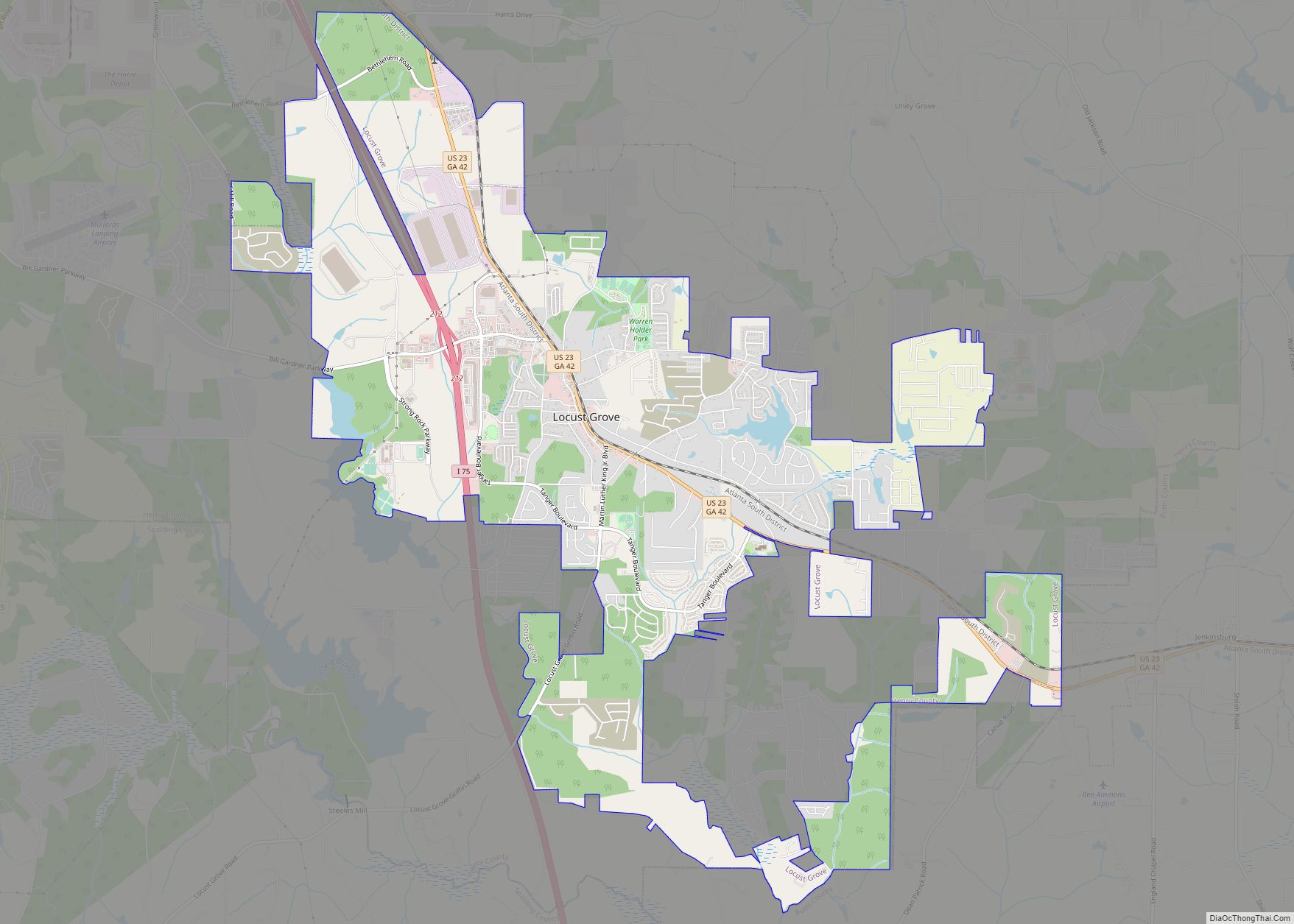
Locust Grove is a city in Henry County, Georgia, United States. The population was 5,402 at the 2010 census, up from 2,322 in 2000. Some unincorporated communities such as Luella and many rural areas surround Locust Grove, and those communities have Locust Grove postal addresses. Locust Grove has experienced a growth in population and in ... Read more
Georgia Cities and Places
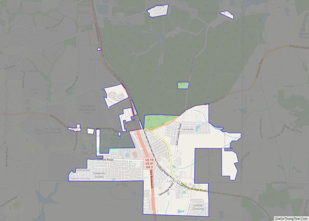
Lovejoy is a city in Clayton County, Georgia, United States. As of the 2010 census, the city had a population of 6,422, up from 2,495 in 2000. During the American Civil War, it was the site of the Battle of Lovejoy’s Station during the Atlanta Campaign of 1864. Lovejoy is proposed by the Georgia Department ... Read more
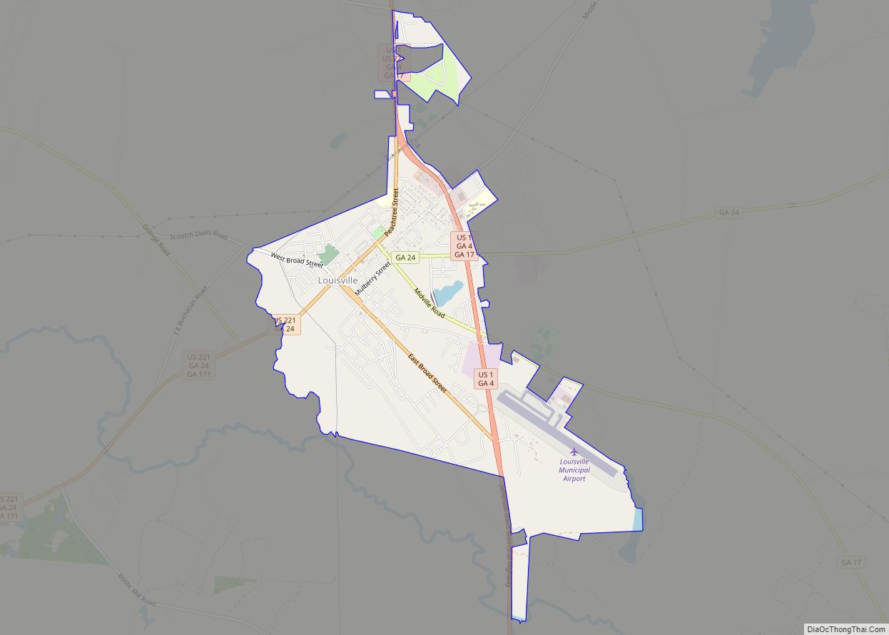
Louisville is a city in and the county seat of Jefferson County, Georgia, United States, and also a former state capital of Georgia. It is located southwest of Augusta on the Ogeechee River, and its population was 2,493 at the 2010 census, down from 2,712 at the 2000 census. Its name is pronounced “Lewis-ville”, though ... Read more
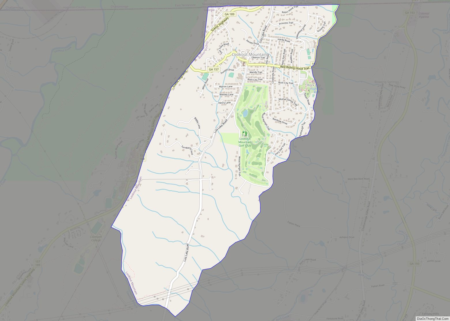
Lookout Mountain is a city entirely within Walker County, Georgia, United States. Bordering its sister town of Lookout Mountain, Tennessee, Lookout Mountain is part of the Chattanooga metropolitan statistical area. The population was 1,641 at the 2020 census. The city is located on Lookout Mountain, home to such attractions as Rock City. This city is ... Read more
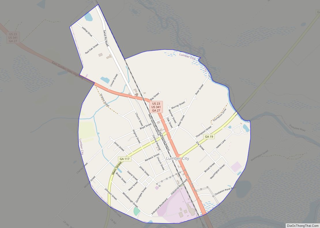
Lumber City is a city located in Telfair County, Georgia, United States. As of the 2020 census, the city had a total population of 967. Lumber City city overview: Name: Lumber City city LSAD Code: 25 LSAD Description: city (suffix) State: Georgia County: Telfair County Elevation: 138 ft (42 m) Total Area: 1.94 sq mi (5.02 km²) Land Area: 1.93 sq mi ... Read more
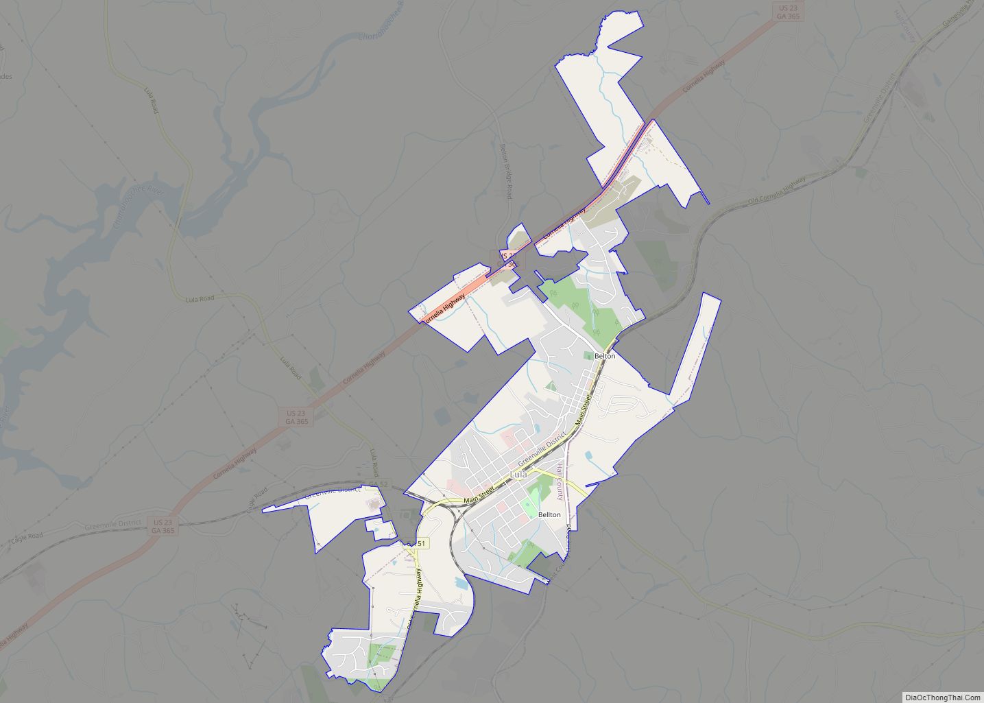
Lula is a city in Hall and Banks counties in the U.S. state of Georgia. Most of the city is in Hall County, with a small eastern portion of the city located in Banks County. The population was 2,758 at the 2010 census. The Hall County portion of Lula is part of the Gainesville, GA ... Read more
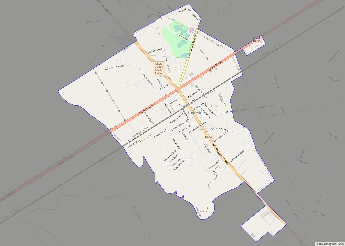
Ludowici /ˌluːdəˈwɪsi/ is a city in Long County, Georgia, United States. The population was 1,703 at the 2010 census and an estimated 2,221 in 2018. The city is the county seat of Long County. It is a part of the Hinesville-Fort Stewart metropolitan statistical area. The town, which was originally called Johnston Station, had its ... Read more
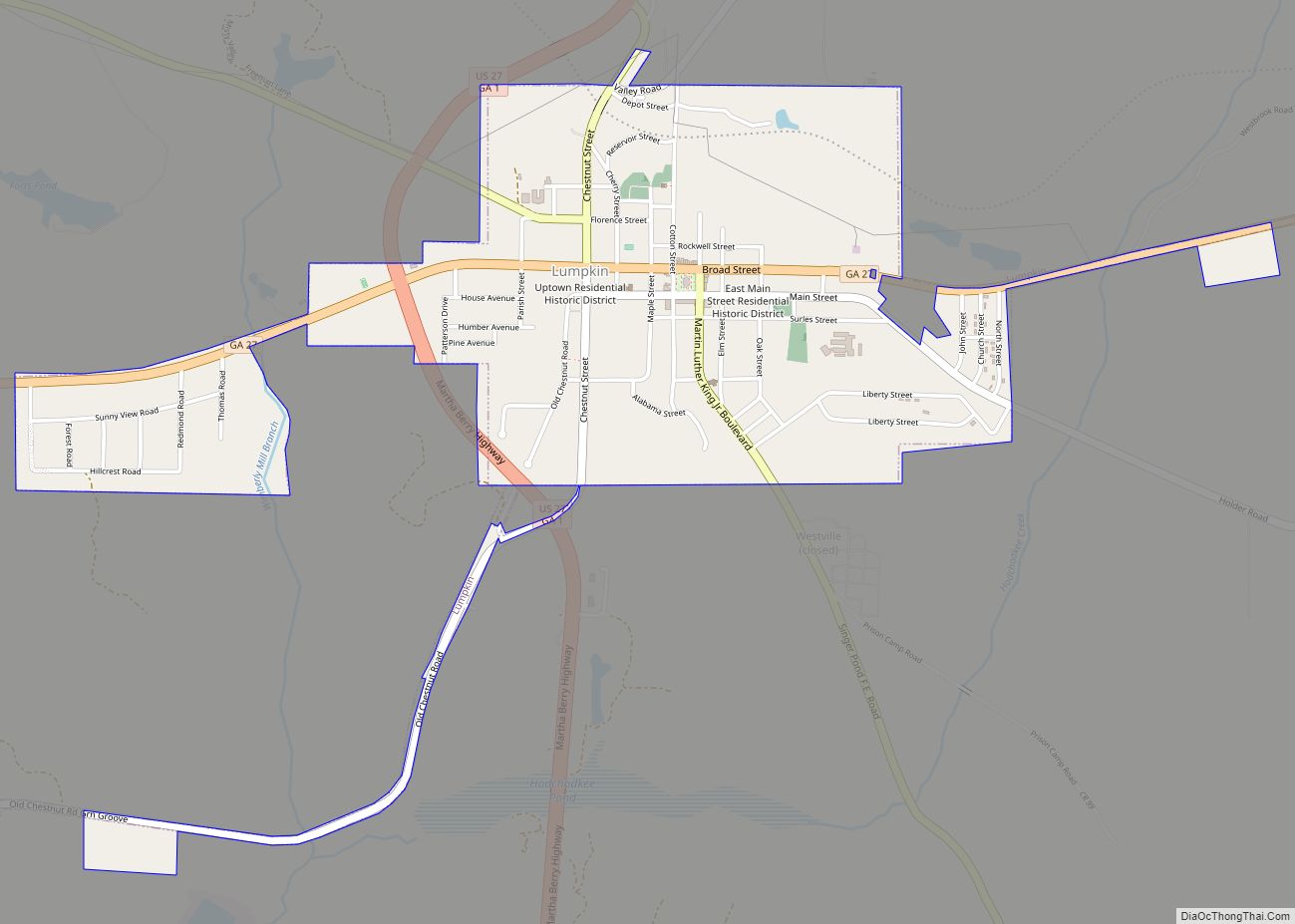
The city of Lumpkin is the county seat of Stewart County, Georgia, United States. Per the 2020 census, the population was 891. Lumpkin city overview: Name: Lumpkin city LSAD Code: 25 LSAD Description: city (suffix) State: Georgia County: Stewart County Elevation: 600 ft (183 m) Total Area: 1.60 sq mi (4.14 km²) Land Area: 1.58 sq mi (4.10 km²) Water Area: 0.02 sq mi (0.04 km²) ... Read more
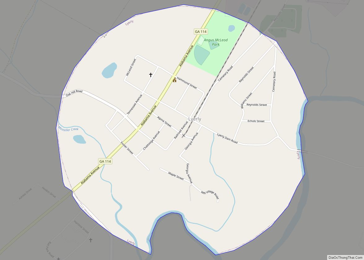
Lyerly is a town in Chattooga County, Georgia, United States. As of the 2020 census, the town had a population of 454. Lyerly town overview: Name: Lyerly town LSAD Code: 43 LSAD Description: town (suffix) State: Georgia County: Chattooga County Elevation: 630 ft (192 m) Total Area: 0.75 sq mi (1.95 km²) Land Area: 0.75 sq mi (1.95 km²) Water Area: 0.00 sq mi (0.00 km²) ... Read more
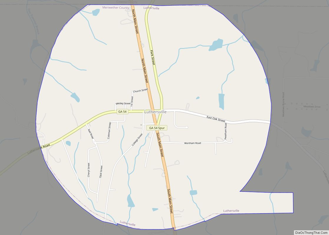
Luthersville is a city in Meriwether County, Georgia, United States. The population was 776 at the 2020 census, down from 874 in 2010. Luthersville city overview: Name: Luthersville city LSAD Code: 25 LSAD Description: city (suffix) State: Georgia County: Meriwether County Elevation: 942 ft (287 m) Total Area: 3.19 sq mi (8.25 km²) Land Area: 3.16 sq mi (8.19 km²) Water Area: 0.02 sq mi ... Read more
Madison is a city in Morgan County, Georgia, United States. It is part of the Atlanta-Athens-Clarke-Sandy Springs Combined Statistical Area. The population was 4,447 at the 2020 census, up from 3,979 in 2010. The city is the county seat of Morgan County and the site of the Morgan County Courthouse. The Madison Historic District is ... Read more
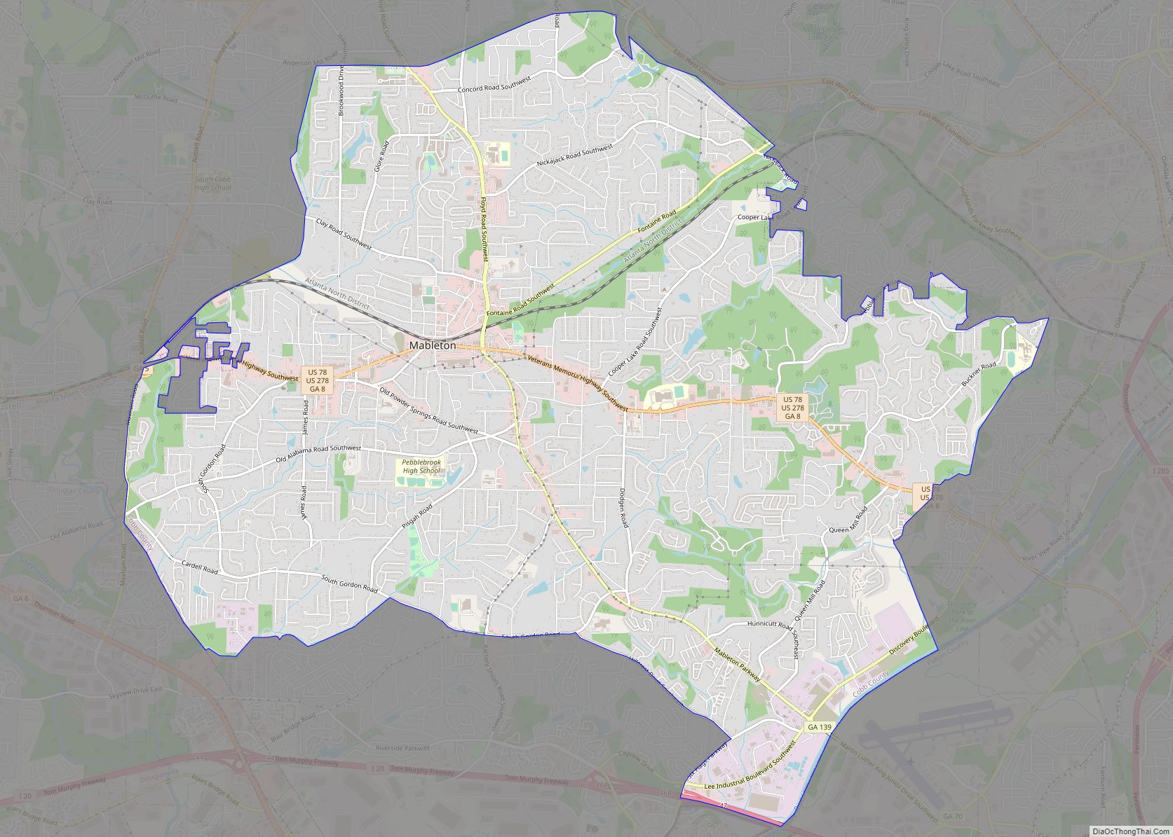
Mableton CDP overview: Name: Mableton CDP LSAD Code: 57 LSAD Description: CDP (suffix) State: Georgia County: Cobb County FIPS code: 1348288 Online Interactive Map Mableton online map. Source: Basemap layers from Google Map, Open Street Map (OSM), Arcgisonline, Wmflabs. Boundary Data from Database of Global Administrative Areas. Mableton location map. Where is Mableton CDP? Mableton ... Read more
