Lovejoy is a city in Clayton County, Georgia, United States. As of the 2010 census, the city had a population of 6,422, up from 2,495 in 2000. During the American Civil War, it was the site of the Battle of Lovejoy’s Station during the Atlanta Campaign of 1864.
Lovejoy is proposed by the Georgia Department of Transportation and MARTA to be the endpoint of metro Atlanta’s first commuter rail line.
| Name: | Lovejoy city |
|---|---|
| LSAD Code: | 25 |
| LSAD Description: | city (suffix) |
| State: | Georgia |
| County: | Clayton County |
| Elevation: | 951 ft (290 m) |
| Total Area: | 2.94 sq mi (7.61 km²) |
| Land Area: | 2.91 sq mi (7.54 km²) |
| Water Area: | 0.03 sq mi (0.07 km²) |
| Total Population: | 10,122 |
| Population Density: | 3,477.16/sq mi (1,342.38/km²) |
| ZIP code: | 30250 |
| Area code: | 770 |
| FIPS code: | 1347616 |
| GNISfeature ID: | 0317440 |
| Website: | www.cityoflovejoy.com |
Online Interactive Map
Click on ![]() to view map in "full screen" mode.
to view map in "full screen" mode.
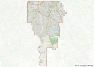
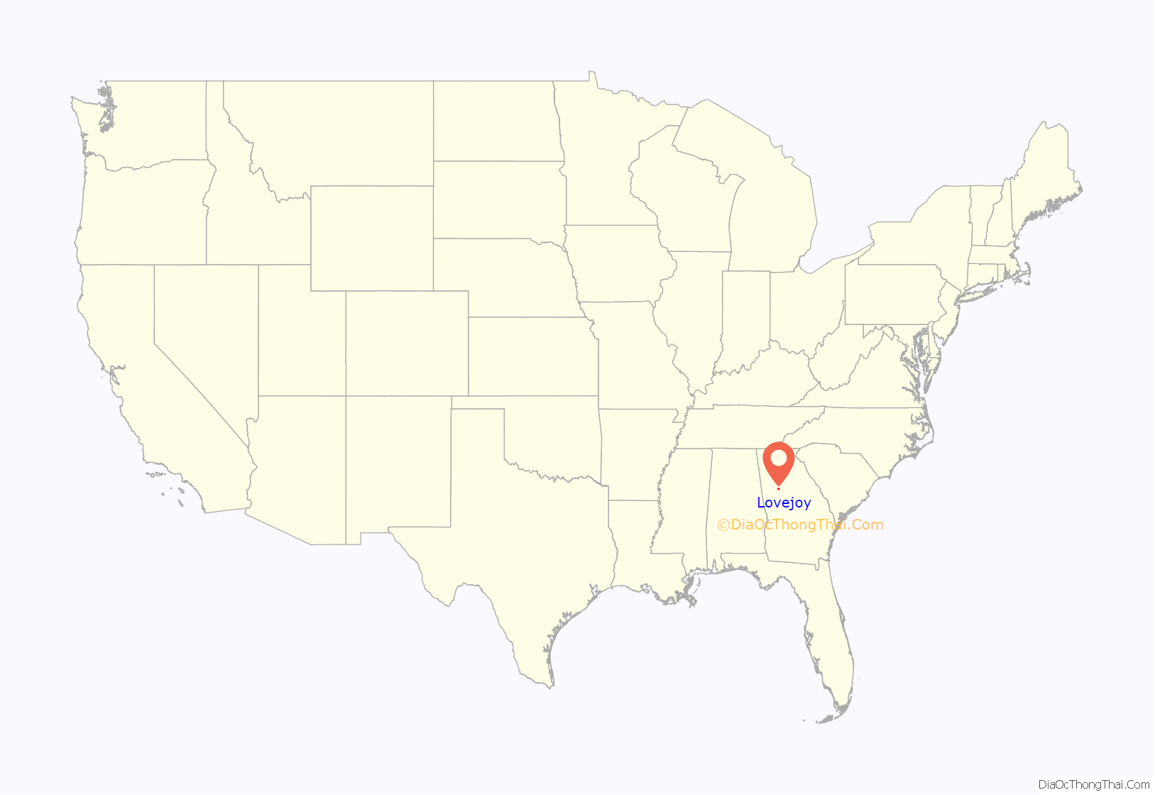
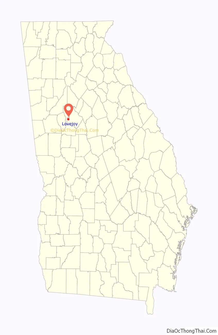
Lovejoy location map. Where is Lovejoy city?
History
Around 1850, the location just north of Fosterville, GA, was positioned along the new railway from Atlanta to Macon. The trainstop there was named for a prosperous local planter, James Lankford Lovejoy. On early maps, the location is called “Lovejoys.” It became known as Lovejoy’s Station by 1864, where it was the setting of a civil war battle during Sherman’s campaign through Georgia. James Lovejoy left the region and died in Clinch County, Georgia in 1877.
The Georgia General Assembly incorporated Lovejoy as a town in 1891.
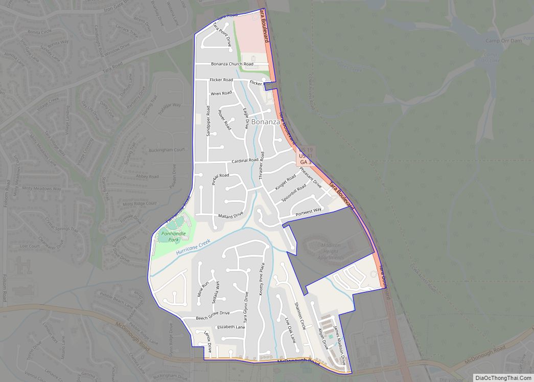
In 1979, Betty Talmadge, former first-lady of Georgia, purchased the remnants of the Hollywood set “Tara,” the fictional plantation featured in Gone With the Wind, and brought them to Lovejoy. The main road through Lovejoy today is named “Tara Blvd.” The remnants of Tara are available to be toured at the Lovejoy Plantation through www.savingtara.com.
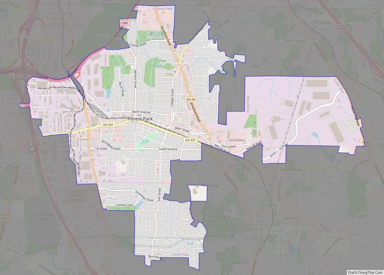
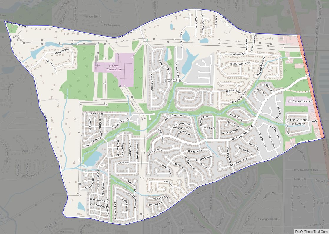
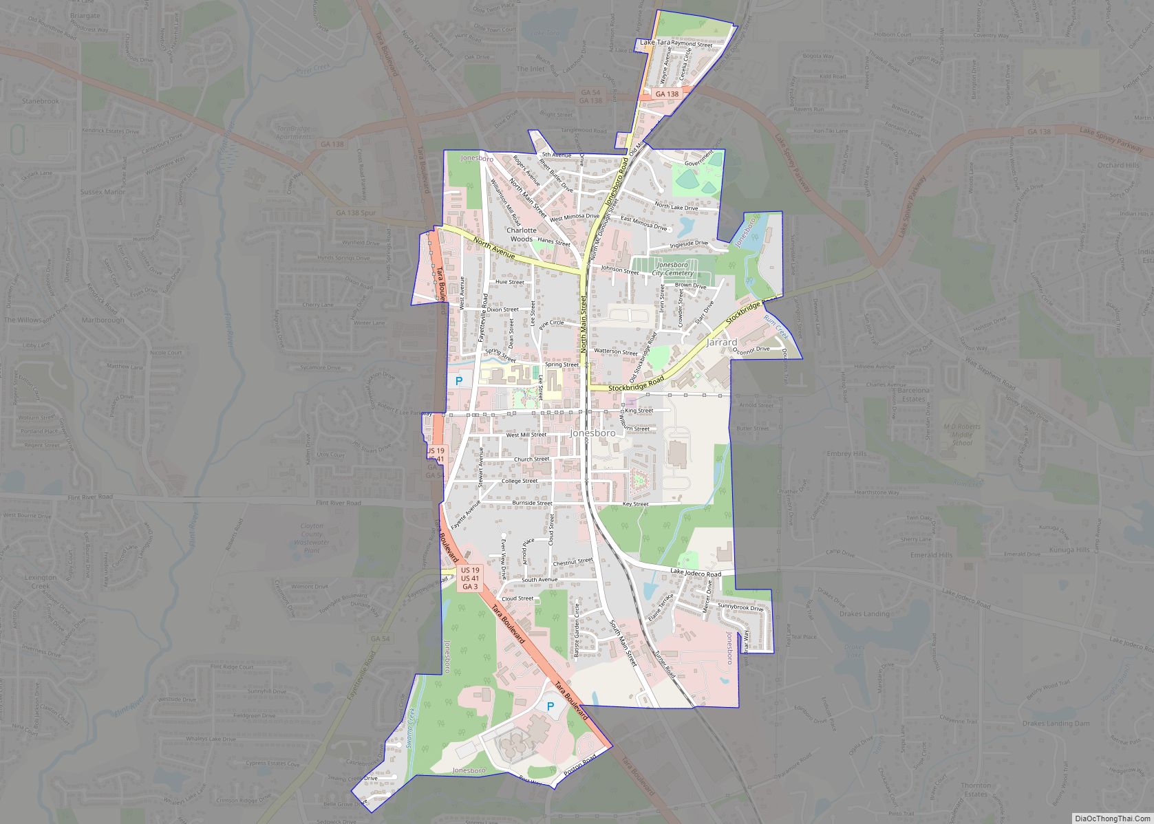
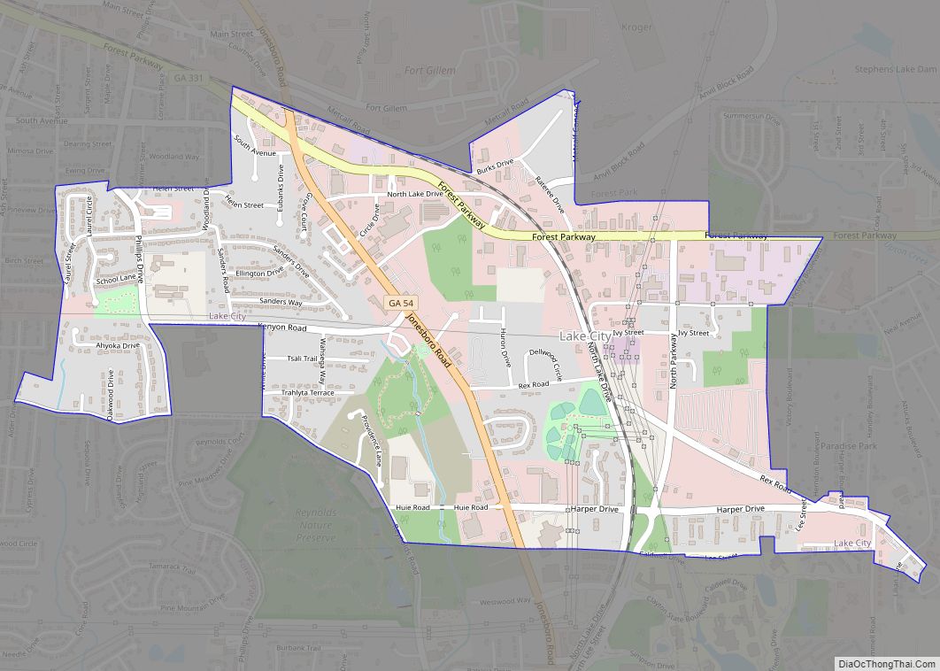
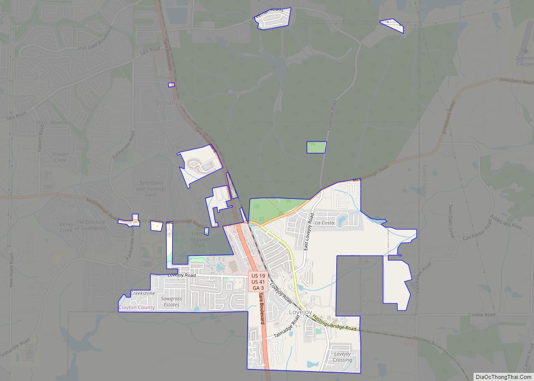
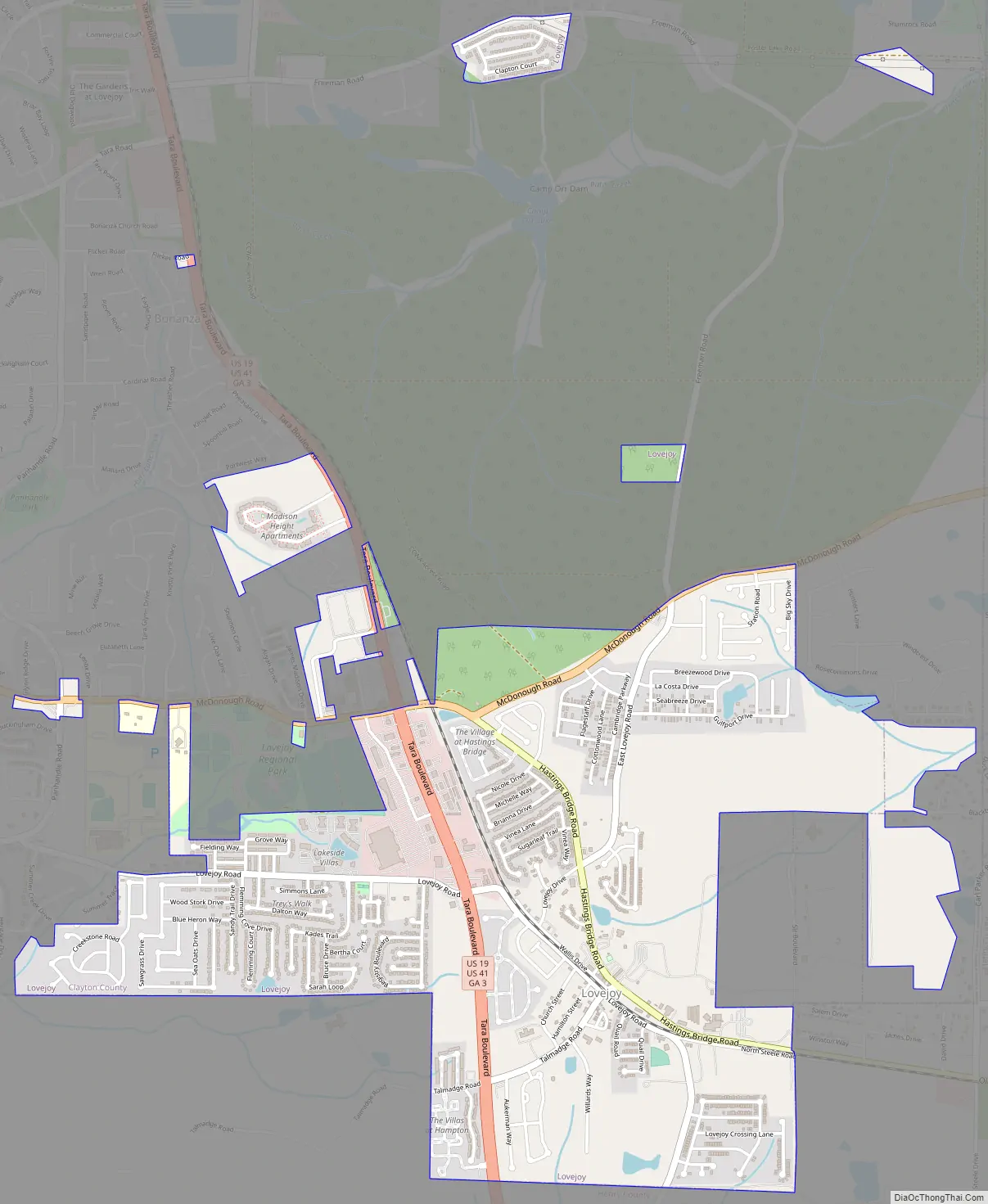
Lovejoy Road Map
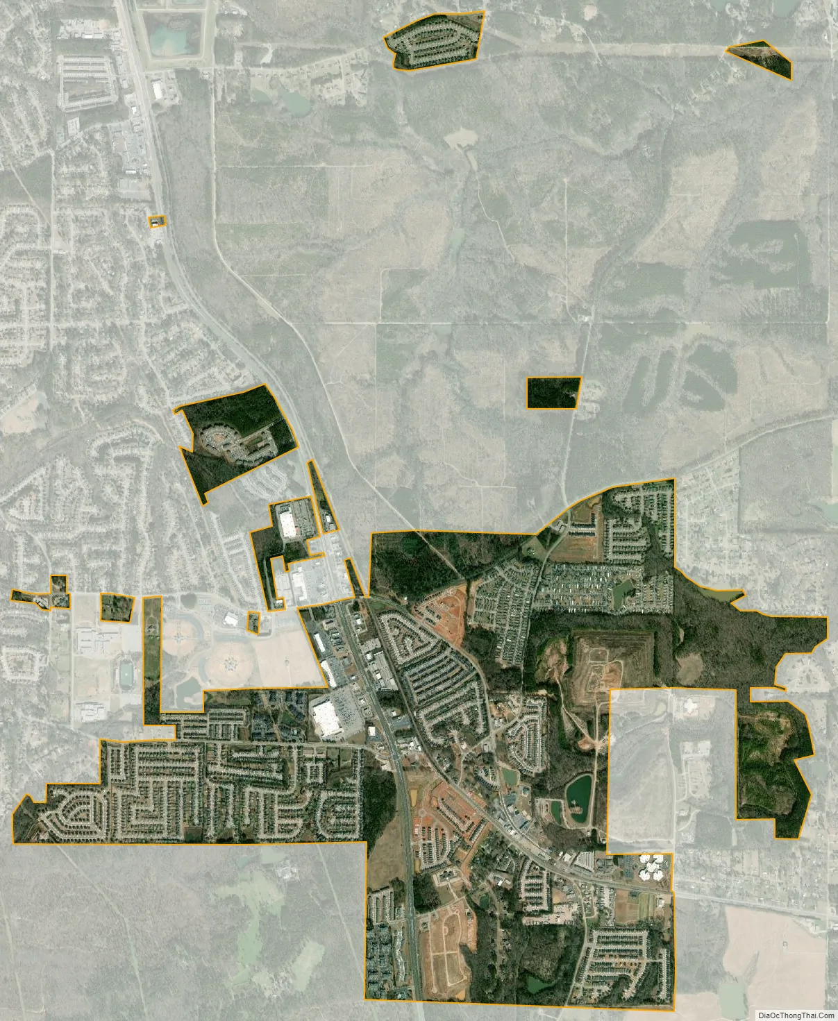
Lovejoy city Satellite Map
Geography
Lovejoy is located in southern Clayton County at 33°26′39″N 84°18′54″W / 33.44417°N 84.31500°W / 33.44417; -84.31500 (33.444164, -84.315105). It is bordered by Henry County to the south and the unincorporated community of Bonanza to the north. U.S. Routes 19 and 41 pass through the western part of Lovejoy, leading north 24 miles (39 km) to downtown Atlanta and south 14 miles (23 km) to Griffin.
According to the United States Census Bureau, the city has a total area of 2.6 square miles (6.8 km), of which 0.02 square miles (0.06 km), or 0.91%, is water.
See also
Map of Georgia State and its subdivision:- Appling
- Atkinson
- Bacon
- Baker
- Baldwin
- Banks
- Barrow
- Bartow
- Ben Hill
- Berrien
- Bibb
- Bleckley
- Brantley
- Brooks
- Bryan
- Bulloch
- Burke
- Butts
- Calhoun
- Camden
- Candler
- Carroll
- Catoosa
- Charlton
- Chatham
- Chattahoochee
- Chattooga
- Cherokee
- Clarke
- Clay
- Clayton
- Clinch
- Cobb
- Coffee
- Colquitt
- Columbia
- Cook
- Coweta
- Crawford
- Crisp
- Dade
- Dawson
- Decatur
- DeKalb
- Dodge
- Dooly
- Dougherty
- Douglas
- Early
- Echols
- Effingham
- Elbert
- Emanuel
- Evans
- Fannin
- Fayette
- Floyd
- Forsyth
- Franklin
- Fulton
- Gilmer
- Glascock
- Glynn
- Gordon
- Grady
- Greene
- Gwinnett
- Habersham
- Hall
- Hancock
- Haralson
- Harris
- Hart
- Heard
- Henry
- Houston
- Irwin
- Jackson
- Jasper
- Jeff Davis
- Jefferson
- Jenkins
- Johnson
- Jones
- Lamar
- Lanier
- Laurens
- Lee
- Liberty
- Lincoln
- Long
- Lowndes
- Lumpkin
- Macon
- Madison
- Marion
- McDuffie
- McIntosh
- Meriwether
- Miller
- Mitchell
- Monroe
- Montgomery
- Morgan
- Murray
- Muscogee
- Newton
- Oconee
- Oglethorpe
- Paulding
- Peach
- Pickens
- Pierce
- Pike
- Polk
- Pulaski
- Putnam
- Quitman
- Rabun
- Randolph
- Richmond
- Rockdale
- Schley
- Screven
- Seminole
- Spalding
- Stephens
- Stewart
- Sumter
- Talbot
- Taliaferro
- Tattnall
- Taylor
- Telfair
- Terrell
- Thomas
- Tift
- Toombs
- Towns
- Treutlen
- Troup
- Turner
- Twiggs
- Union
- Upson
- Walker
- Walton
- Ware
- Warren
- Washington
- Wayne
- Webster
- Wheeler
- White
- Whitfield
- Wilcox
- Wilkes
- Wilkinson
- Worth
- Alabama
- Alaska
- Arizona
- Arkansas
- California
- Colorado
- Connecticut
- Delaware
- District of Columbia
- Florida
- Georgia
- Hawaii
- Idaho
- Illinois
- Indiana
- Iowa
- Kansas
- Kentucky
- Louisiana
- Maine
- Maryland
- Massachusetts
- Michigan
- Minnesota
- Mississippi
- Missouri
- Montana
- Nebraska
- Nevada
- New Hampshire
- New Jersey
- New Mexico
- New York
- North Carolina
- North Dakota
- Ohio
- Oklahoma
- Oregon
- Pennsylvania
- Rhode Island
- South Carolina
- South Dakota
- Tennessee
- Texas
- Utah
- Vermont
- Virginia
- Washington
- West Virginia
- Wisconsin
- Wyoming