Luthersville is a city in Meriwether County, Georgia, United States. The population was 776 at the 2020 census, down from 874 in 2010.
| Name: | Luthersville city |
|---|---|
| LSAD Code: | 25 |
| LSAD Description: | city (suffix) |
| State: | Georgia |
| County: | Meriwether County |
| Elevation: | 942 ft (287 m) |
| Total Area: | 3.19 sq mi (8.25 km²) |
| Land Area: | 3.16 sq mi (8.19 km²) |
| Water Area: | 0.02 sq mi (0.06 km²) |
| Total Population: | 776 |
| Population Density: | 245.26/sq mi (94.70/km²) |
| ZIP code: | 30251 |
| Area code: | 770 |
| FIPS code: | 1348008 |
| GNISfeature ID: | 0317494 |
Online Interactive Map
Click on ![]() to view map in "full screen" mode.
to view map in "full screen" mode.
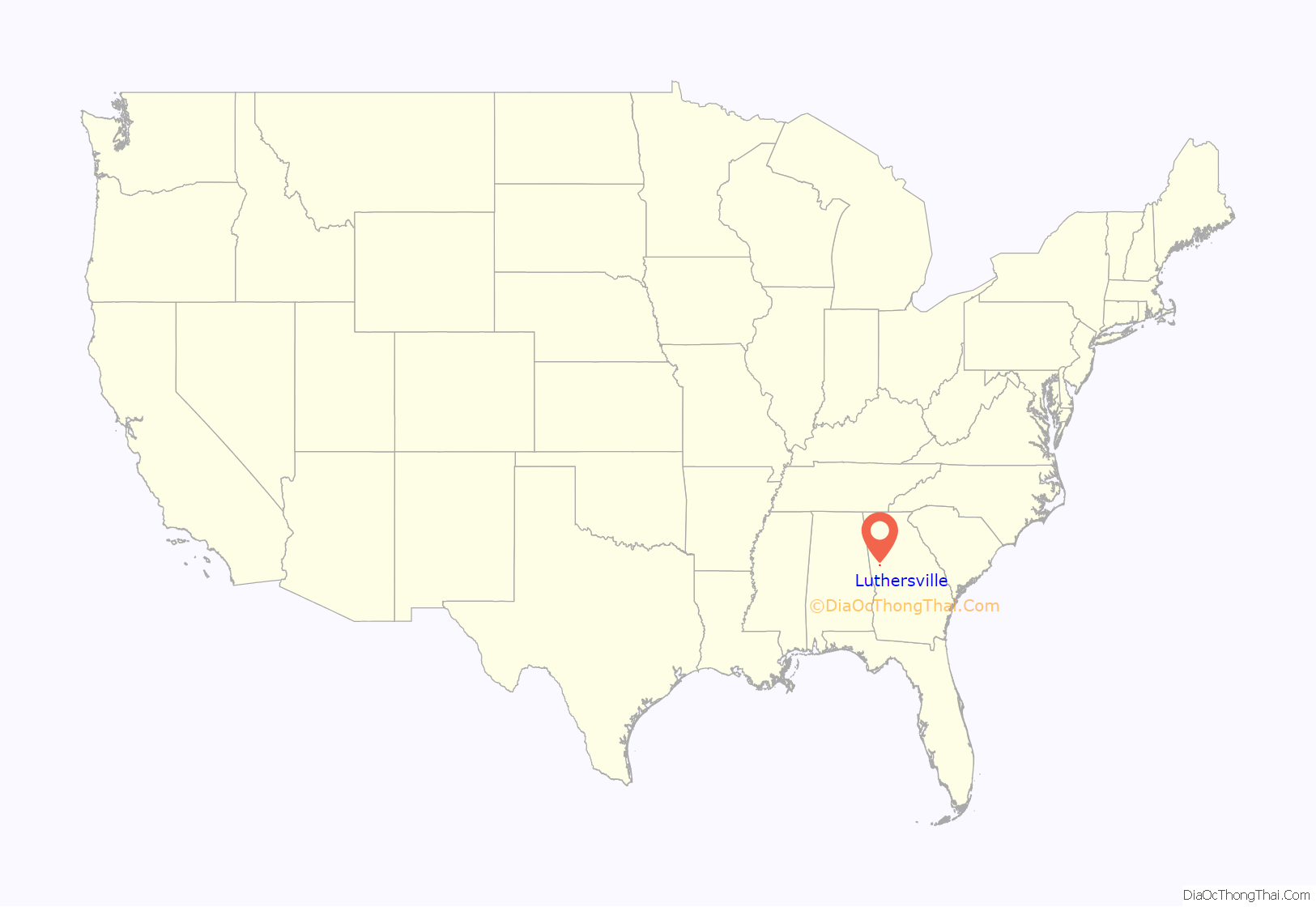
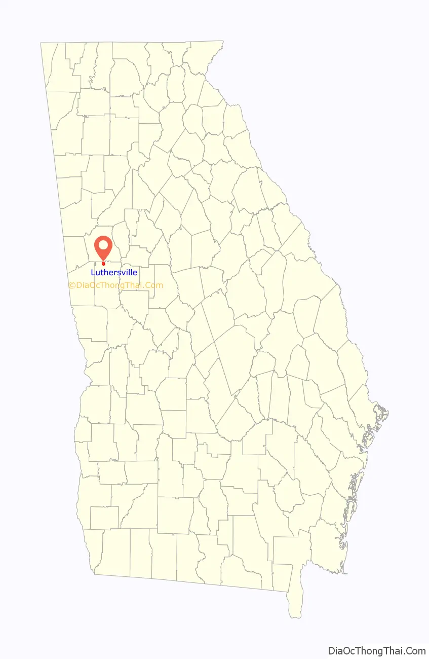
Luthersville location map. Where is Luthersville city?
History
The Georgia General Assembly incorporated Luthersville as a town in 1872. The community was named after the 16th-century German reformer Martin Luther.
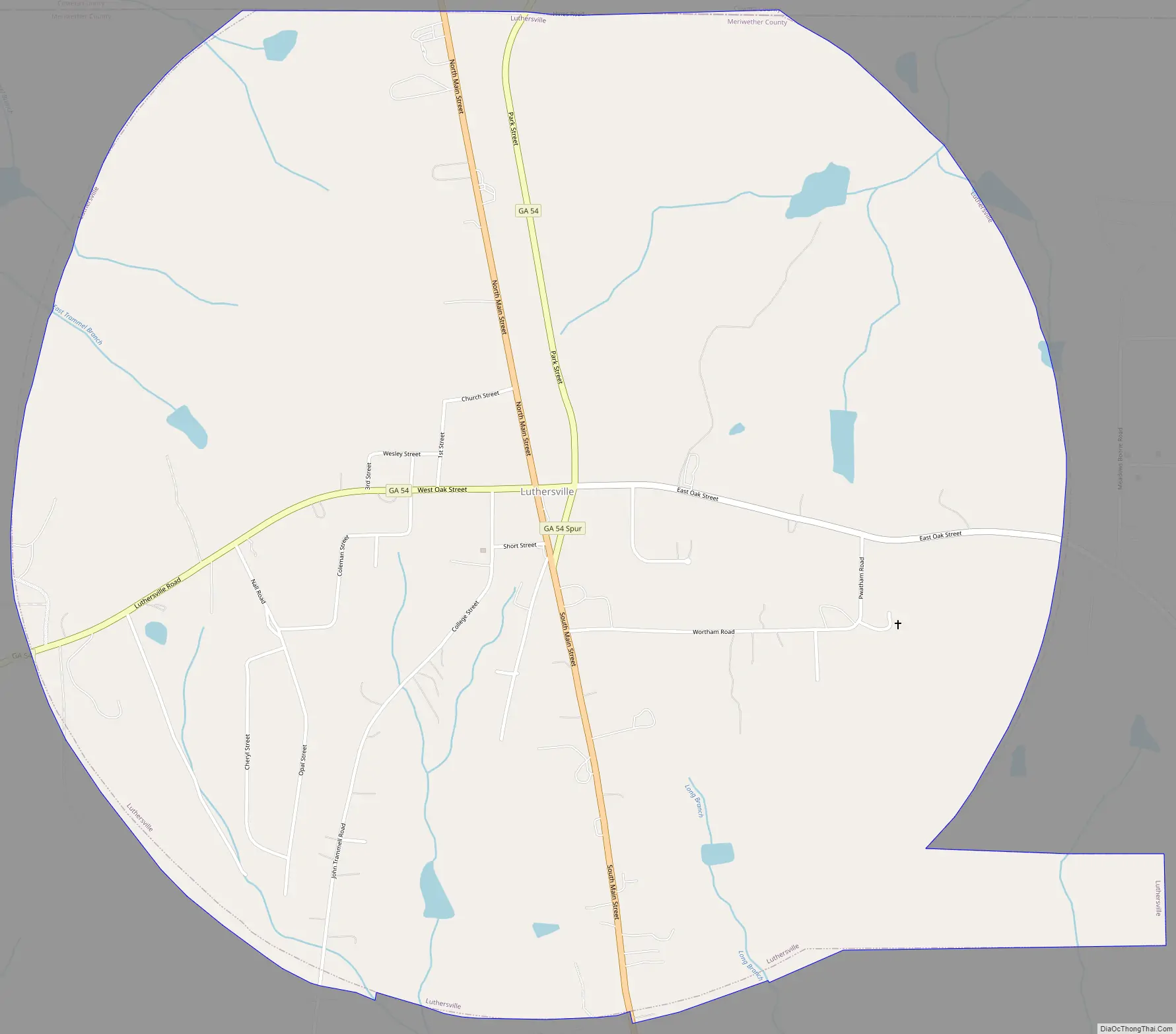
Luthersville Road Map
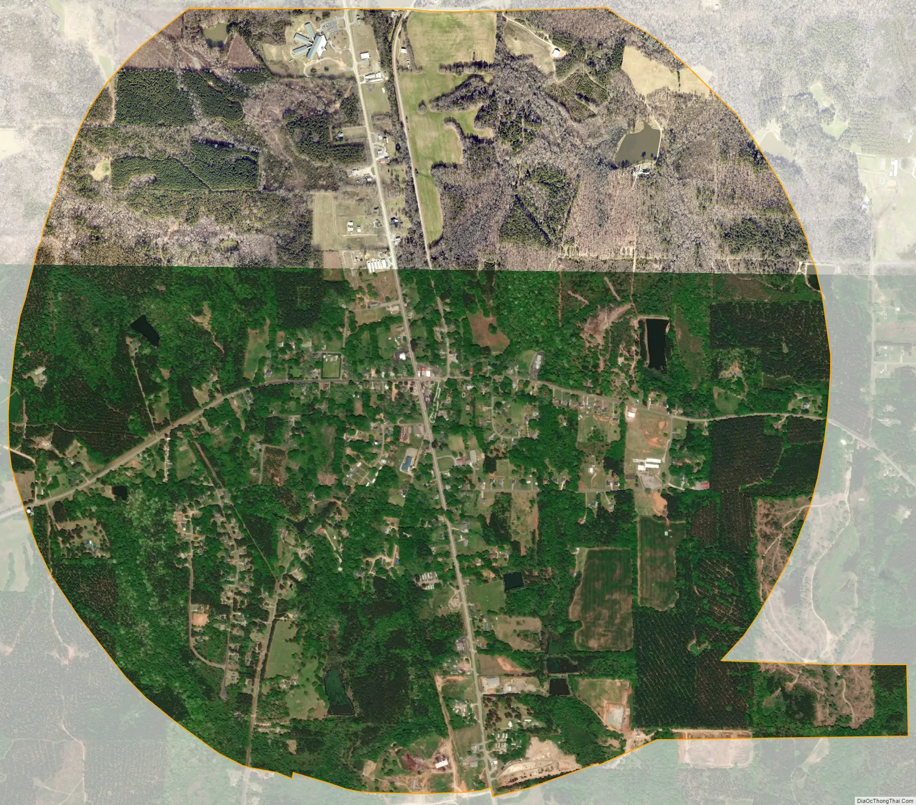
Luthersville city Satellite Map
Geography
Luthersville is located in northern Meriwether County at 33°12′33″N 84°44′43″W / 33.20917°N 84.74528°W / 33.20917; -84.74528 (33.209299, −84.745286). Its northern border is the Coweta County line. U.S. Route 27 Alternate is Luthersville’s Main Street; the highway leads south 13 miles (21 km) to Greenville, the Meriwether county seat, and north 12 miles (19 km) to Newnan. Georgia State Route 54 crosses US 27 Alternate in the center of Luthersville; it leads northeast 11 miles (18 km) to Turin and southwest the same distance to Hogansville.
According to the United States Census Bureau, Luthersville has a total area of 3.2 square miles (8.3 km), of which 0.02 square miles (0.05 km), or 0.72%, are water. The city sits on a ridge that forms the divide between the Chattahoochee River watershed to the west and the Flint River watershed to the east. The northwest part of the city drains to Yellowjacket Creek, a tributary of the Chattahoochee, while the southern part of the city drains to Coleman Creek and the northeast part drains to Bear Creek, both tributaries of the Flint.
See also
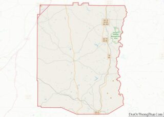
Map of Georgia State and its subdivision:- Appling
- Atkinson
- Bacon
- Baker
- Baldwin
- Banks
- Barrow
- Bartow
- Ben Hill
- Berrien
- Bibb
- Bleckley
- Brantley
- Brooks
- Bryan
- Bulloch
- Burke
- Butts
- Calhoun
- Camden
- Candler
- Carroll
- Catoosa
- Charlton
- Chatham
- Chattahoochee
- Chattooga
- Cherokee
- Clarke
- Clay
- Clayton
- Clinch
- Cobb
- Coffee
- Colquitt
- Columbia
- Cook
- Coweta
- Crawford
- Crisp
- Dade
- Dawson
- Decatur
- DeKalb
- Dodge
- Dooly
- Dougherty
- Douglas
- Early
- Echols
- Effingham
- Elbert
- Emanuel
- Evans
- Fannin
- Fayette
- Floyd
- Forsyth
- Franklin
- Fulton
- Gilmer
- Glascock
- Glynn
- Gordon
- Grady
- Greene
- Gwinnett
- Habersham
- Hall
- Hancock
- Haralson
- Harris
- Hart
- Heard
- Henry
- Houston
- Irwin
- Jackson
- Jasper
- Jeff Davis
- Jefferson
- Jenkins
- Johnson
- Jones
- Lamar
- Lanier
- Laurens
- Lee
- Liberty
- Lincoln
- Long
- Lowndes
- Lumpkin
- Macon
- Madison
- Marion
- McDuffie
- McIntosh
- Meriwether
- Miller
- Mitchell
- Monroe
- Montgomery
- Morgan
- Murray
- Muscogee
- Newton
- Oconee
- Oglethorpe
- Paulding
- Peach
- Pickens
- Pierce
- Pike
- Polk
- Pulaski
- Putnam
- Quitman
- Rabun
- Randolph
- Richmond
- Rockdale
- Schley
- Screven
- Seminole
- Spalding
- Stephens
- Stewart
- Sumter
- Talbot
- Taliaferro
- Tattnall
- Taylor
- Telfair
- Terrell
- Thomas
- Tift
- Toombs
- Towns
- Treutlen
- Troup
- Turner
- Twiggs
- Union
- Upson
- Walker
- Walton
- Ware
- Warren
- Washington
- Wayne
- Webster
- Wheeler
- White
- Whitfield
- Wilcox
- Wilkes
- Wilkinson
- Worth
- Alabama
- Alaska
- Arizona
- Arkansas
- California
- Colorado
- Connecticut
- Delaware
- District of Columbia
- Florida
- Georgia
- Hawaii
- Idaho
- Illinois
- Indiana
- Iowa
- Kansas
- Kentucky
- Louisiana
- Maine
- Maryland
- Massachusetts
- Michigan
- Minnesota
- Mississippi
- Missouri
- Montana
- Nebraska
- Nevada
- New Hampshire
- New Jersey
- New Mexico
- New York
- North Carolina
- North Dakota
- Ohio
- Oklahoma
- Oregon
- Pennsylvania
- Rhode Island
- South Carolina
- South Dakota
- Tennessee
- Texas
- Utah
- Vermont
- Virginia
- Washington
- West Virginia
- Wisconsin
- Wyoming