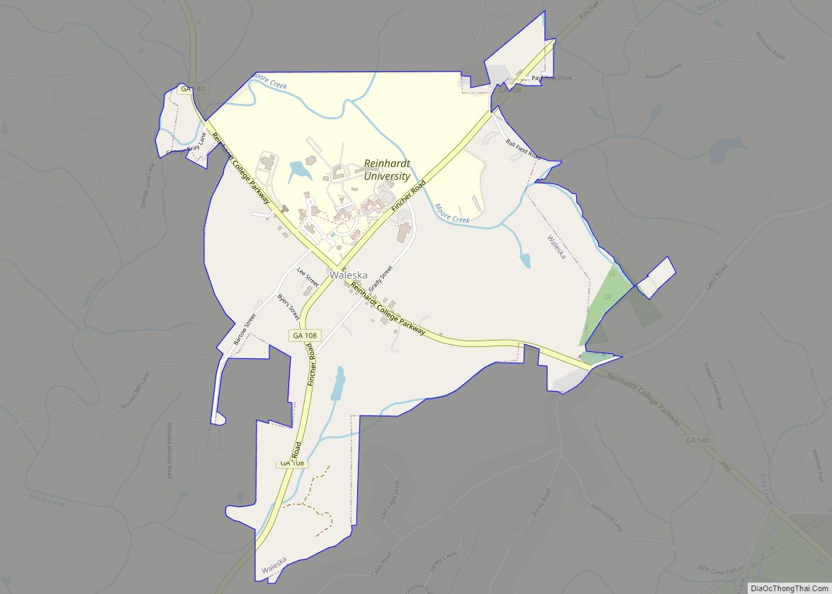
Waleska (/wɔːˈlɛskə/ waw-LES-kə) is a city in Cherokee County, Georgia, United States. The population was 644 at the 2010 census. Waleska city overview: Name: Waleska city LSAD Code: 25 LSAD Description: city (suffix) State: Georgia County: Cherokee County Elevation: 1,109 ft (338 m) Total Area: 1.59 sq mi (4.11 km²) Land Area: 1.58 sq mi (4.09 km²) Water Area: 0.01 sq mi (0.02 km²) Total Population: ... Read more
Georgia Cities and Places
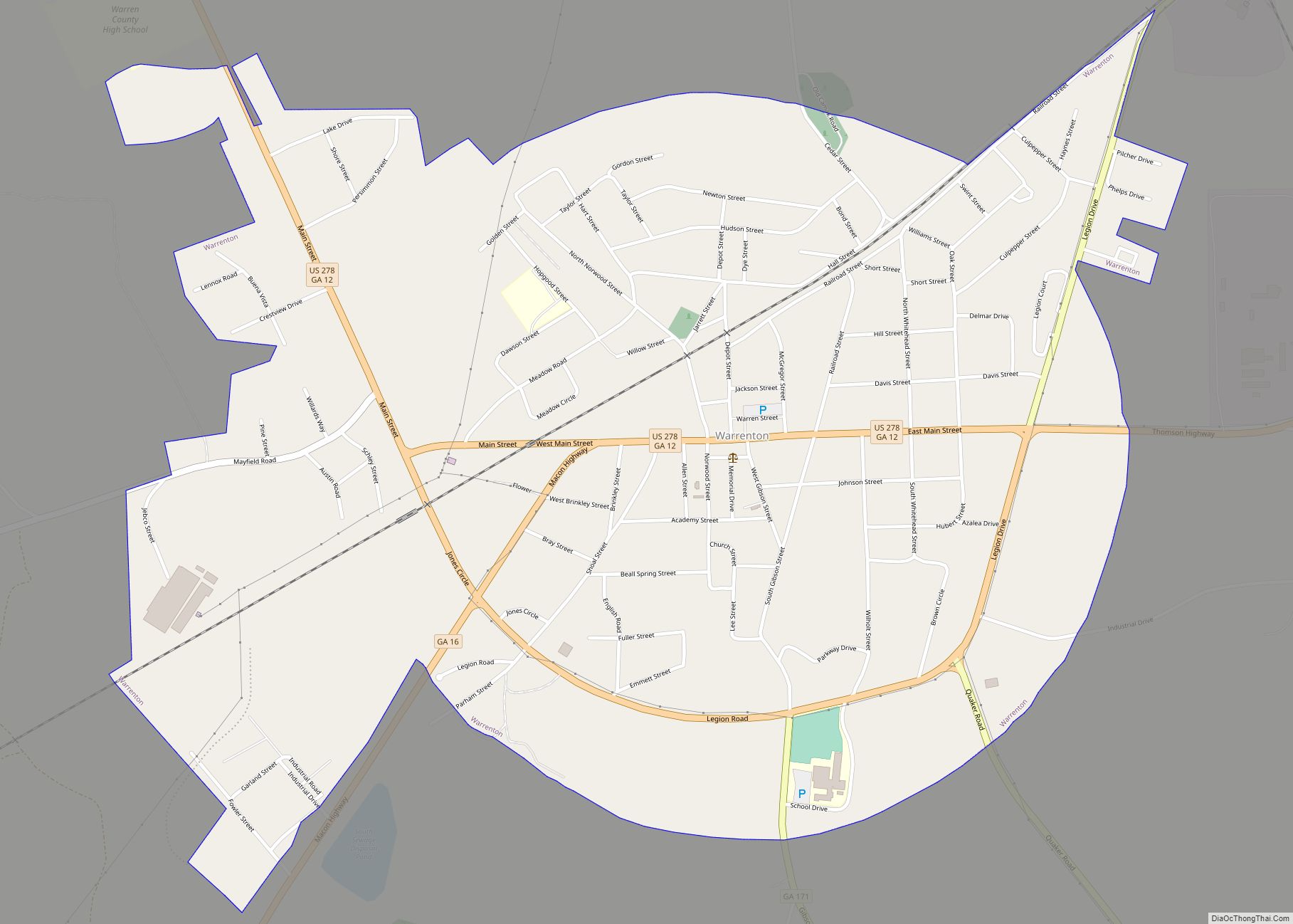
Warrenton is a city in Warren County, Georgia, United States. The population was 1,937 at the 2010 census. The city is the county seat of Warren County. Warrenton city overview: Name: Warrenton city LSAD Code: 25 LSAD Description: city (suffix) State: Georgia County: Warren County Elevation: 518 ft (158 m) Total Area: 1.92 sq mi (4.98 km²) Land Area: 1.91 sq mi ... Read more
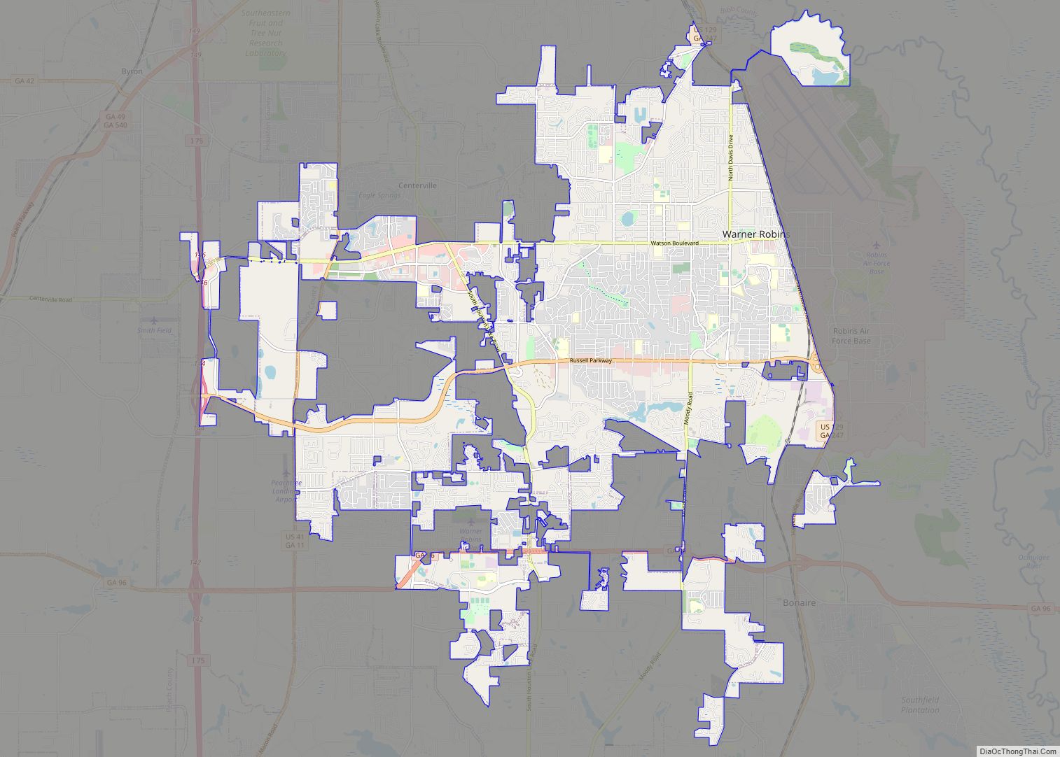
Warner Robins (typically /ˈwɑːrnɜːr ˈrɑːbənz/ wore-nur-RAH-bins) is a city in Houston and Peach counties in the U.S. state of Georgia. It is currently the state’s eleventh-largest incorporated city, with a population of 80,308 in the 2020 Census. The city is the main component of the Warner Robins Metropolitan Statistical Area, including the entirety of Houston, ... Read more
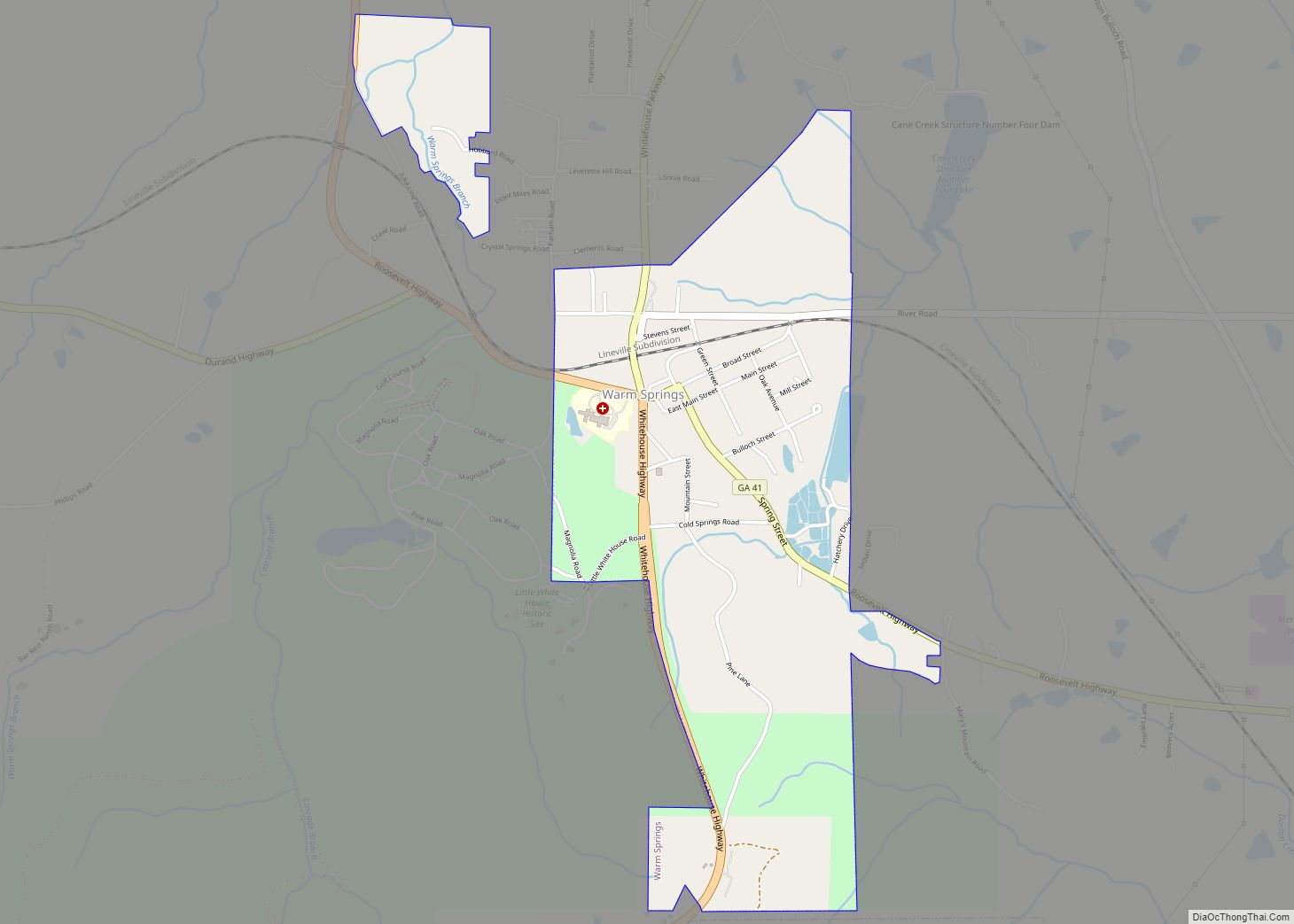
Warm Springs is a city in Meriwether County, Georgia, United States. The population was 465 at the 2020 census. Warm Springs city overview: Name: Warm Springs city LSAD Code: 25 LSAD Description: city (suffix) State: Georgia County: Meriwether County Elevation: 930 ft (280 m) Total Area: 1.53 sq mi (3.98 km²) Land Area: 1.50 sq mi (3.89 km²) Water Area: 0.03 sq mi (0.09 km²) Total ... Read more
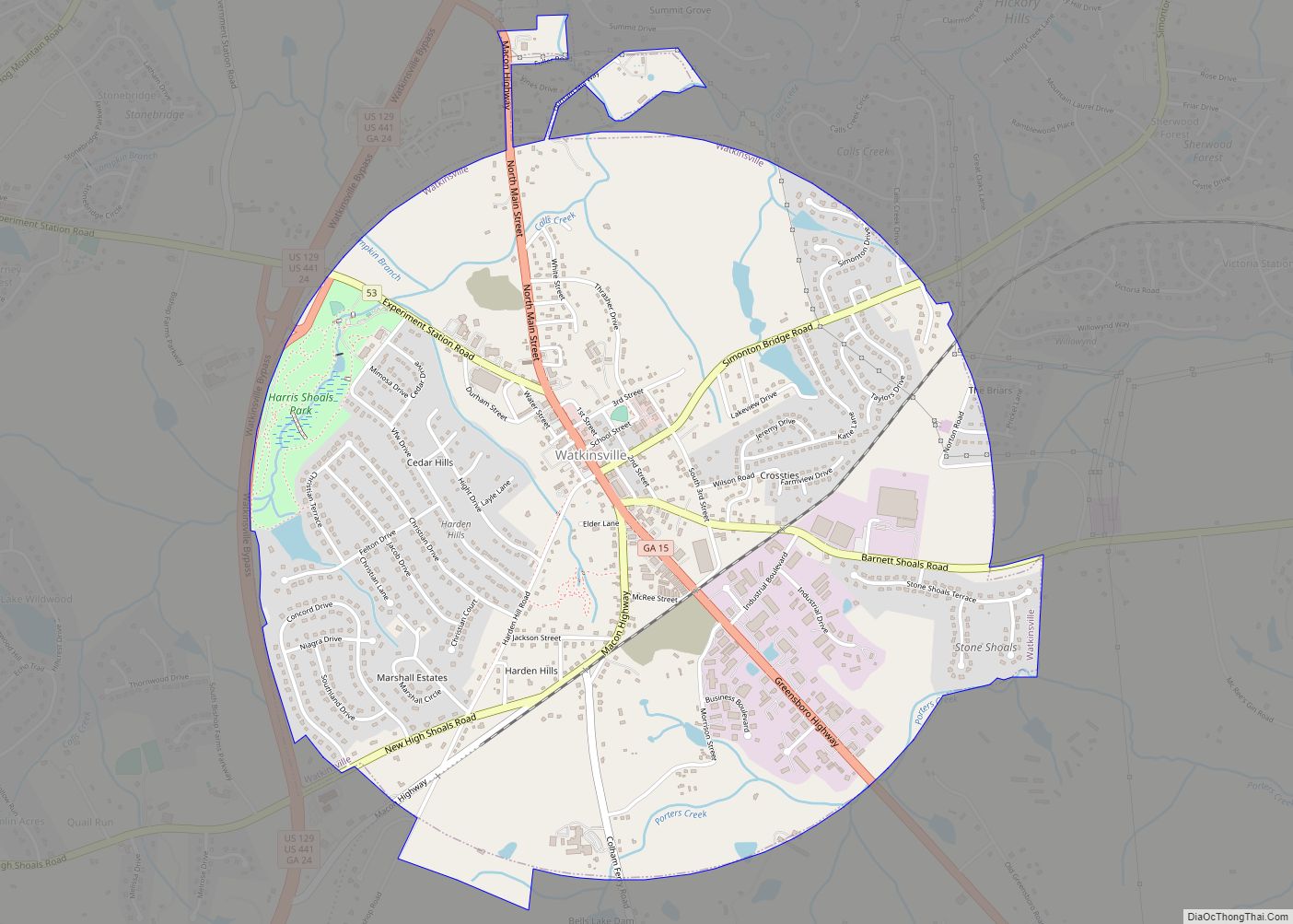
Watkinsville is the largest town and county seat of Oconee County, Georgia, United States. As of the 2020 census, the town had a total population of 2,896. It served as the seat of Clarke County until 1872 when the county seat of that county was moved to Athens, a move which ultimately led to the ... Read more
Washington is the county seat of Wilkes County, Georgia, United States. Under its original name Heard’s Fort, it was briefly designated as the state capital during the American Revolutionary War. It is noted as the place where the Confederacy voted to dissolve itself, effectively ending the American Civil War. The population was 4,134 as of ... Read more
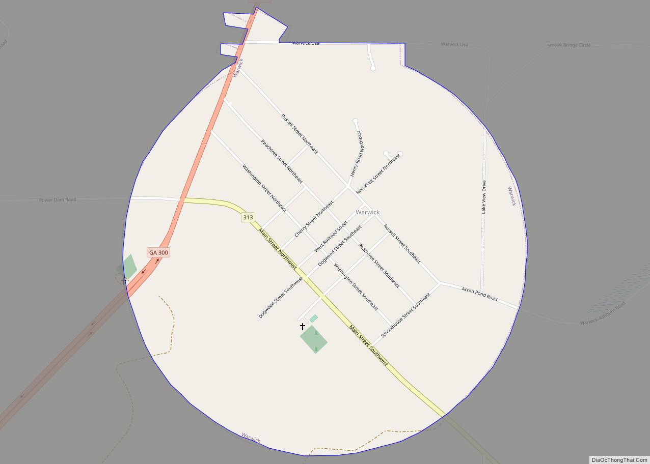
Warwick is a city in Worth County, Georgia, United States. The population was 423 at the 2010 census. It is part of the Albany, Georgia Metropolitan Statistical Area. Warwick city overview: Name: Warwick city LSAD Code: 25 LSAD Description: city (suffix) State: Georgia County: Worth County Elevation: 279 ft (85 m) Total Area: 0.81 sq mi (2.10 km²) Land Area: ... Read more
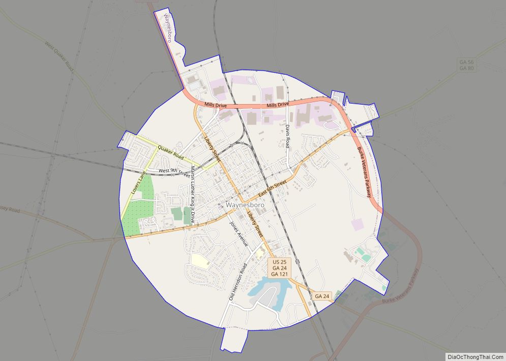
Waynesboro is a city in Burke County, Georgia, United States. The population was 5,766 at the 2010 census. The city is the county seat of Burke County. It is part of the Augusta, Georgia metropolitan area. Waynesboro is known as “The Bird Dog Capital of the World”. The Waynesboro Commercial Historic District is listed on ... Read more
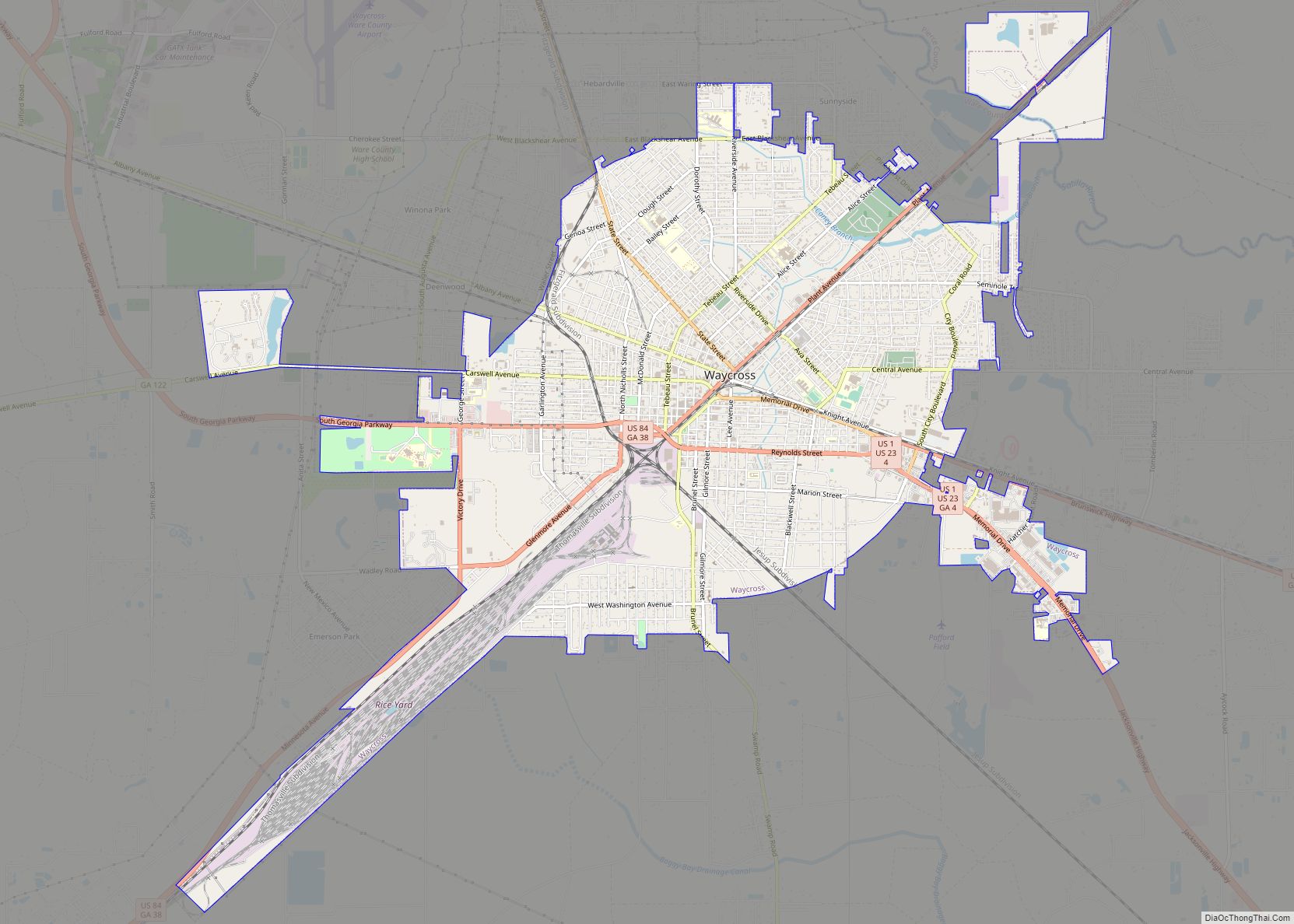
Waycross is the county seat of, and only incorporated city in, Ware County in the U.S. state of Georgia. The population was 14,725 at the 2010 Census and dropped to 13,942 in the 2020 census. Waycross includes two historic districts (Downtown Waycross Historic District and Waycross Historic District) and several other properties that are on ... Read more
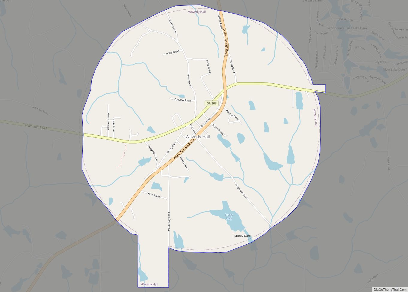
Waverly Hall is a town in Harris County, Georgia, United States. It is part of the Columbus, Georgia–Alabama Metropolitan Statistical Area. The population was 735 at the 2010 census, and in 2018 the estimated population was 747. Waverly Hall town overview: Name: Waverly Hall town LSAD Code: 43 LSAD Description: town (suffix) State: Georgia County: ... Read more
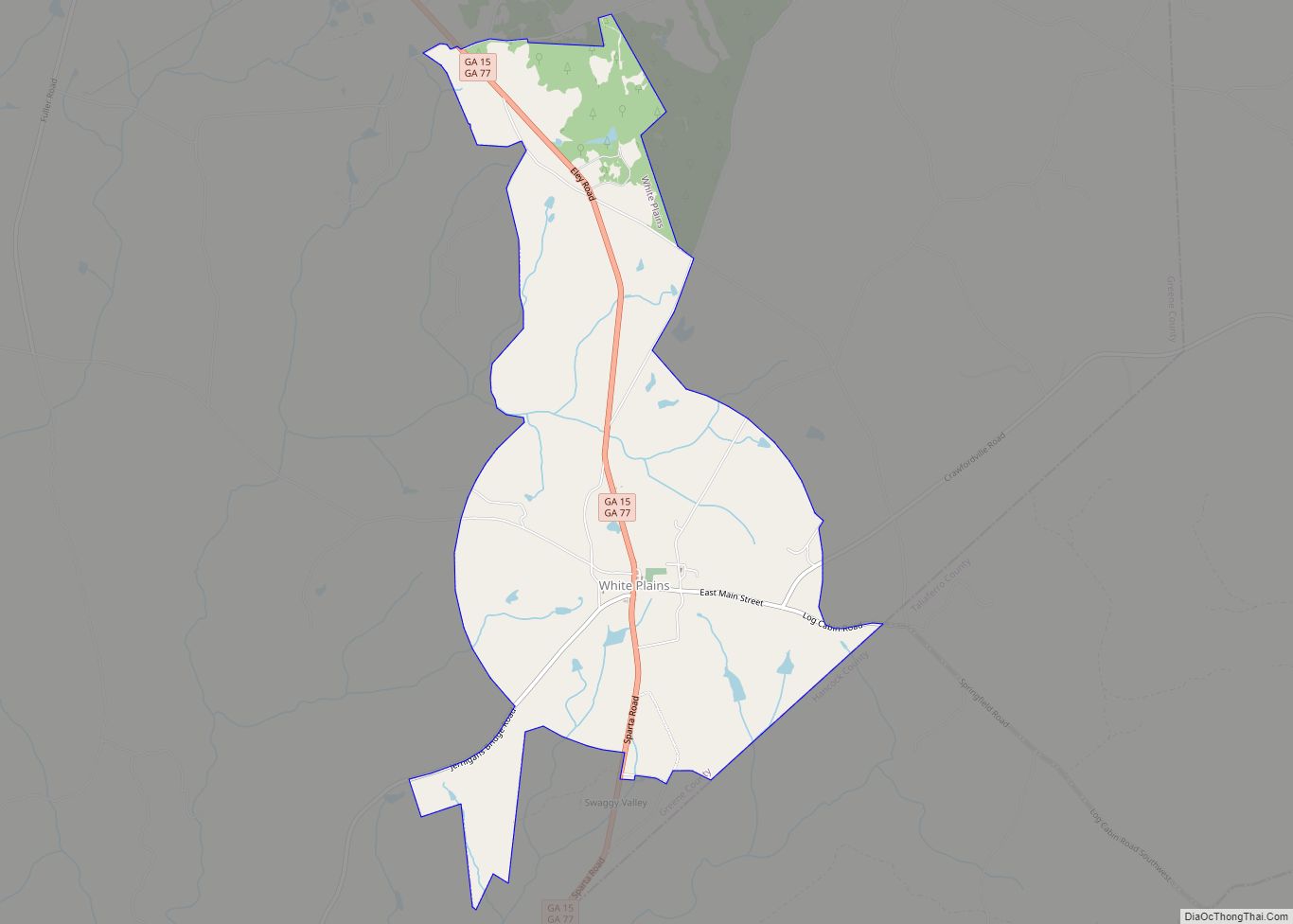
White Plains is a city in Greene County, Georgia, United States. The population was 284 at the 2010 census. White Plains city overview: Name: White Plains city LSAD Code: 25 LSAD Description: city (suffix) State: Georgia County: Greene County Elevation: 690 ft (211 m) Total Area: 5.21 sq mi (13.50 km²) Land Area: 5.17 sq mi (13.38 km²) Water Area: 0.05 sq mi (0.13 km²) Total ... Read more
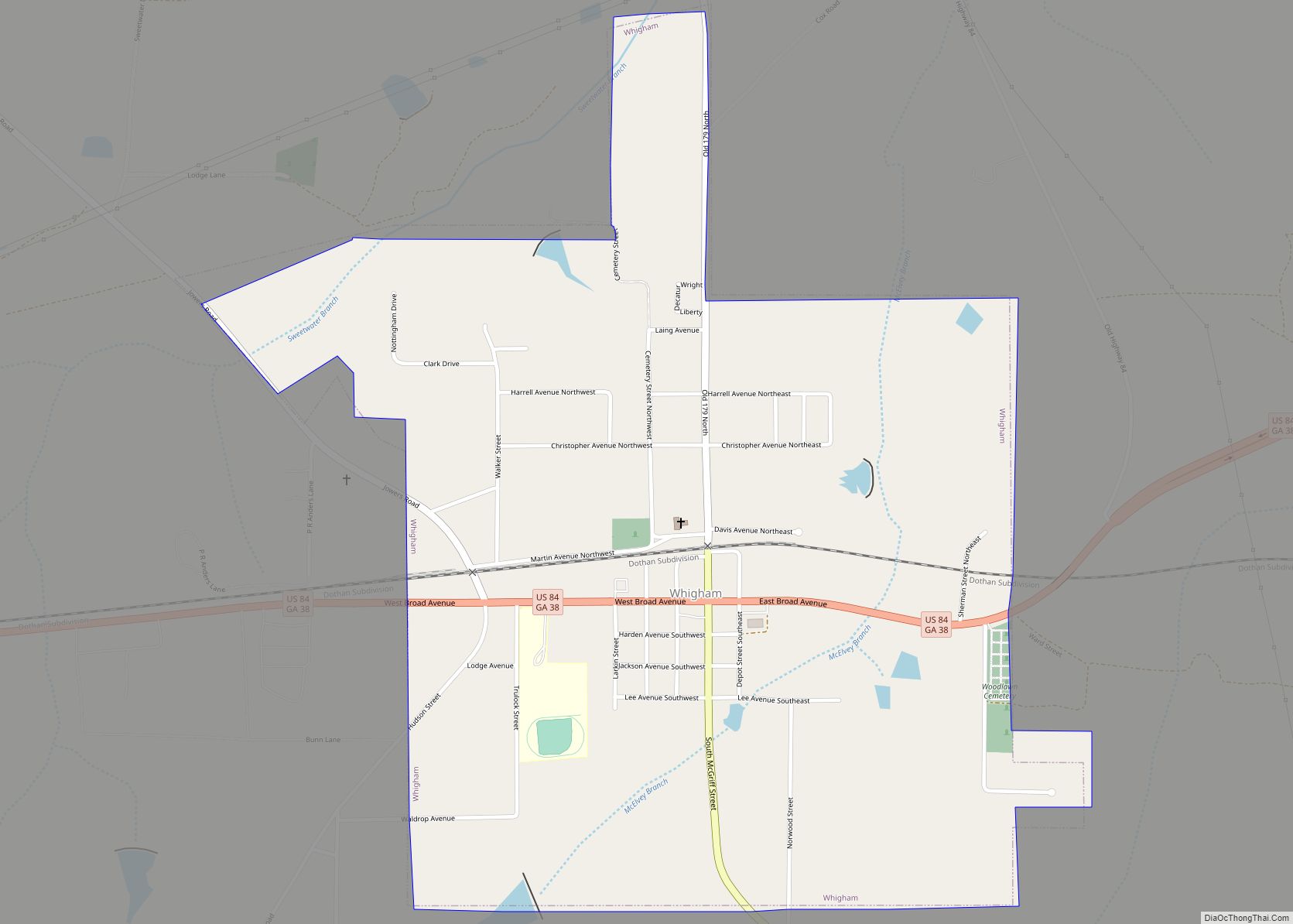
Whigham is a city in Grady County, Georgia, United States. The population was 471 at the 2010 census, down from 631 in 2000. Whigham city overview: Name: Whigham city LSAD Code: 25 LSAD Description: city (suffix) State: Georgia County: Grady County Elevation: 282 ft (86 m) Total Area: 1.19 sq mi (3.07 km²) Land Area: 1.17 sq mi (3.04 km²) Water Area: 0.01 sq mi ... Read more
