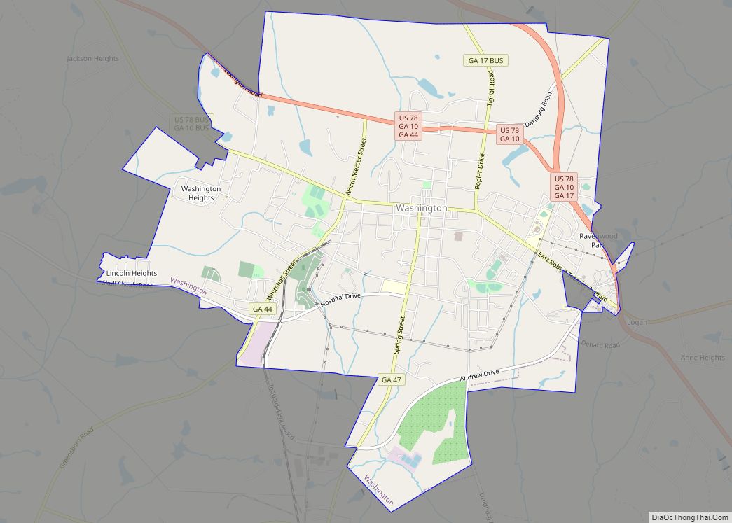
Washington is the county seat of Wilkes County, Georgia, United States. Under its original name Heard’s Fort, it was briefly designated as the state capital during the American Revolutionary War. It is noted as the place where the Confederacy voted to dissolve itself, effectively ending the American Civil War.
The population was 4,134 as of the 2010 census. The city is often referred to as Washington-Wilkes, to distinguish it from other places named Washington.
| Name: | Washington city |
|---|---|
| LSAD Code: | 25 |
| LSAD Description: | city (suffix) |
| State: | Georgia |
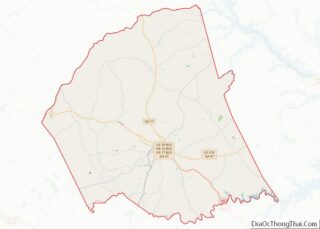
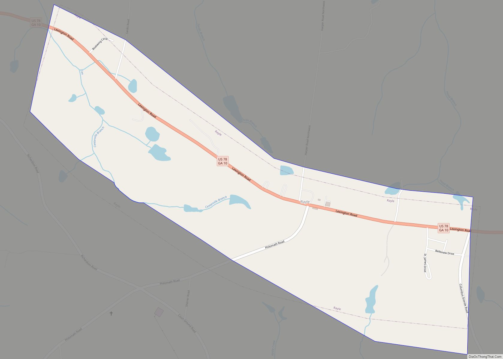
| County: | Wilkes County |
| Incorporated: | 1804 |
| Elevation: | 607 ft (185 m) |
| Total Area: | 7.75 sq mi (20.08 km²) |
| Land Area: | 7.70 sq mi (19.94 km²) |
| Water Area: | 0.05 sq mi (0.14 km²) |
| Total Population: | 3,754 |
| Population Density: | 487.66/sq mi (188.29/km²) |
| ZIP code: | 30673 |
| Area code: | 706/762 |
| FIPS code: | 1380704 |
| GNISfeature ID: | 0356620 |
| Website: | cityofwashingtonga.gov |
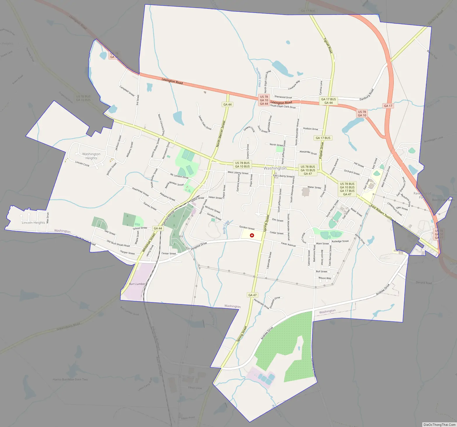
Online Interactive Map
Click on ![]() to view map in "full screen" mode.
to view map in "full screen" mode.
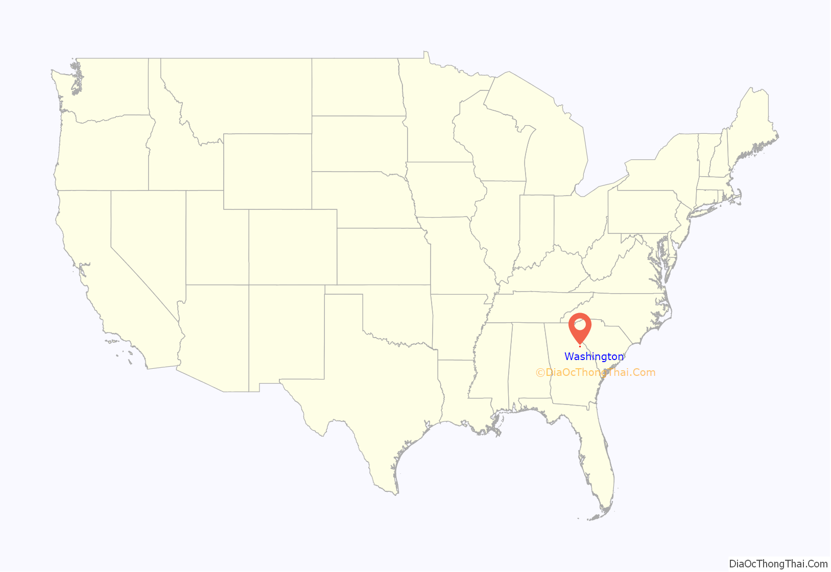
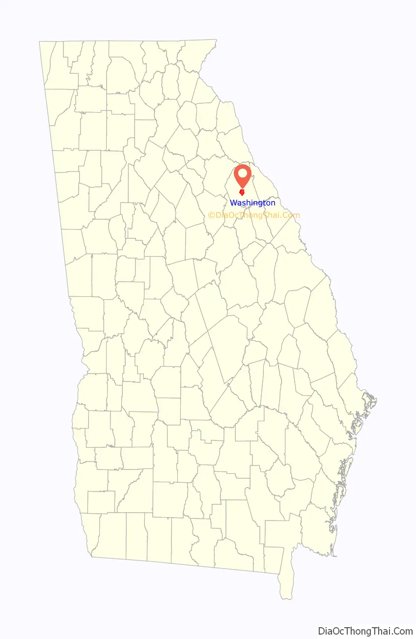
Washington location map. Where is Washington city?
History
Heard’s Fort was established in 1774 by colonist Stephen Heard. The settlement served as the temporary capital of the new state of Georgia from February 3, 1780, until early 1781.
American Revolutionary War
The Battle of Kettle Creek, one of the most important battles of the American Revolutionary War to be fought in Georgia, was fought on February 14, 1779, in Wilkes County, about eleven miles (17.7 km) from present-day Washington. The American Patriots were victorious, taking 75 prisoners and killing roughly 70 Loyalists, while losing 32 of their own men.
American Civil War
As a child, Alexander H. Stephens had studied at the school in Washington presided over by Presbyterian minister Alexander Hamilton Webster. He later became a politician and was elected as Vice-President of the Confederacy.
No major battles of the Civil War were fought in or near Washington, but the city is notable as the site where Confederate President Jefferson Davis held his last meeting with his cabinet. On April 3, 1865, with Union troops under General Ulysses S. Grant poised to capture the capital at Richmond, Virginia, Davis escaped for Danville, together with the Confederate cabinet.
After leaving Danville, and continuing south, Davis met with his Cabinet for the last time on May 5, 1865, in Washington, along with a hand-picked escort led by Given Campbell, including his personal body guard, Sgt. Joseph A Higgenbotham, Jr., of Amherst/Nelson County, Virginia. The meeting took place at the Heard house (now used as the Georgia Branch Bank Building), with fourteen officials present.
Historic sites
Several historic sites in Washington are on the National Register of Historic Places, including the Wilkes County Courthouse, the Robert Toombs House State Historic Site, the Washington-Wilkes Historical Museum, the Mary Willis Public Library, Cherry Grove Baptist Church Schoolhouse, and the recently restored historic Fitzpatrick Hotel, built in 1898.
Washington Road Map
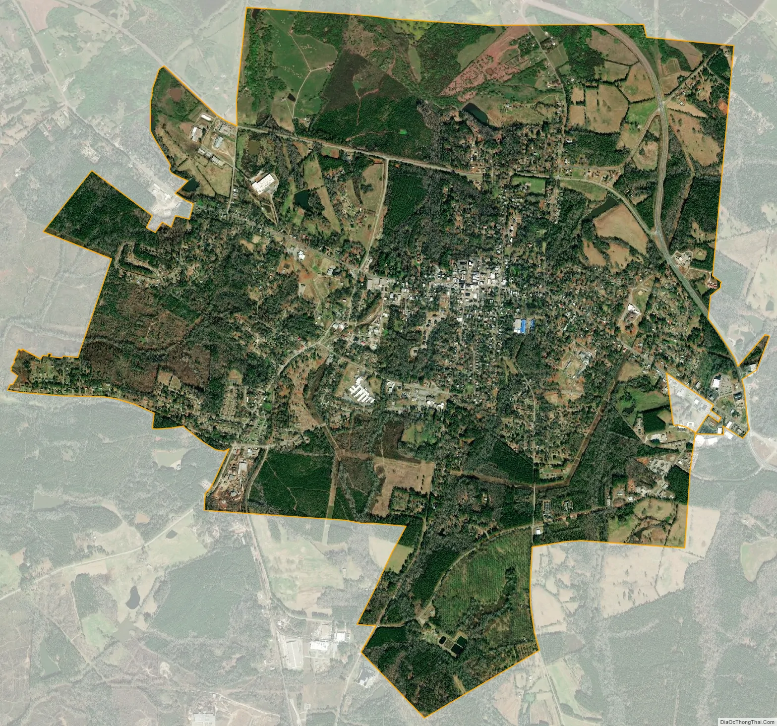
Washington city Satellite Map
Geography
Washington is located at 33°44′7″N 82°44′29″W / 33.73528°N 82.74139°W / 33.73528; -82.74139 (33.735394, −82.741420).
According to the United States Census Bureau, the city has a total area of 7.9 square miles (20 km), of which 7.8 square miles (20 km) is land and 0.04 square miles (0.10 km) (0.25%) is water.
See also
Map of Georgia State and its subdivision:- Appling
- Atkinson
- Bacon
- Baker
- Baldwin
- Banks
- Barrow
- Bartow
- Ben Hill
- Berrien
- Bibb
- Bleckley
- Brantley
- Brooks
- Bryan
- Bulloch
- Burke
- Butts
- Calhoun
- Camden
- Candler
- Carroll
- Catoosa
- Charlton
- Chatham
- Chattahoochee
- Chattooga
- Cherokee
- Clarke
- Clay
- Clayton
- Clinch
- Cobb
- Coffee
- Colquitt
- Columbia
- Cook
- Coweta
- Crawford
- Crisp
- Dade
- Dawson
- Decatur
- DeKalb
- Dodge
- Dooly
- Dougherty
- Douglas
- Early
- Echols
- Effingham
- Elbert
- Emanuel
- Evans
- Fannin
- Fayette
- Floyd
- Forsyth
- Franklin
- Fulton
- Gilmer
- Glascock
- Glynn
- Gordon
- Grady
- Greene
- Gwinnett
- Habersham
- Hall
- Hancock
- Haralson
- Harris
- Hart
- Heard
- Henry
- Houston
- Irwin
- Jackson
- Jasper
- Jeff Davis
- Jefferson
- Jenkins
- Johnson
- Jones
- Lamar
- Lanier
- Laurens
- Lee
- Liberty
- Lincoln
- Long
- Lowndes
- Lumpkin
- Macon
- Madison
- Marion
- McDuffie
- McIntosh
- Meriwether
- Miller
- Mitchell
- Monroe
- Montgomery
- Morgan
- Murray
- Muscogee
- Newton
- Oconee
- Oglethorpe
- Paulding
- Peach
- Pickens
- Pierce
- Pike
- Polk
- Pulaski
- Putnam
- Quitman
- Rabun
- Randolph
- Richmond
- Rockdale
- Schley
- Screven
- Seminole
- Spalding
- Stephens
- Stewart
- Sumter
- Talbot
- Taliaferro
- Tattnall
- Taylor
- Telfair
- Terrell
- Thomas
- Tift
- Toombs
- Towns
- Treutlen
- Troup
- Turner
- Twiggs
- Union
- Upson
- Walker
- Walton
- Ware
- Warren
- Washington
- Wayne
- Webster
- Wheeler
- White
- Whitfield
- Wilcox
- Wilkes
- Wilkinson
- Worth
- Alabama
- Alaska
- Arizona
- Arkansas
- California
- Colorado
- Connecticut
- Delaware
- District of Columbia
- Florida
- Georgia
- Hawaii
- Idaho
- Illinois
- Indiana
- Iowa
- Kansas
- Kentucky
- Louisiana
- Maine
- Maryland
- Massachusetts
- Michigan
- Minnesota
- Mississippi
- Missouri
- Montana
- Nebraska
- Nevada
- New Hampshire
- New Jersey
- New Mexico
- New York
- North Carolina
- North Dakota
- Ohio
- Oklahoma
- Oregon
- Pennsylvania
- Rhode Island
- South Carolina
- South Dakota
- Tennessee
- Texas
- Utah
- Vermont
- Virginia
- Washington
- West Virginia
- Wisconsin
- Wyoming