Map of Morrison city, Illinois

Map of Morrison city, Illinois

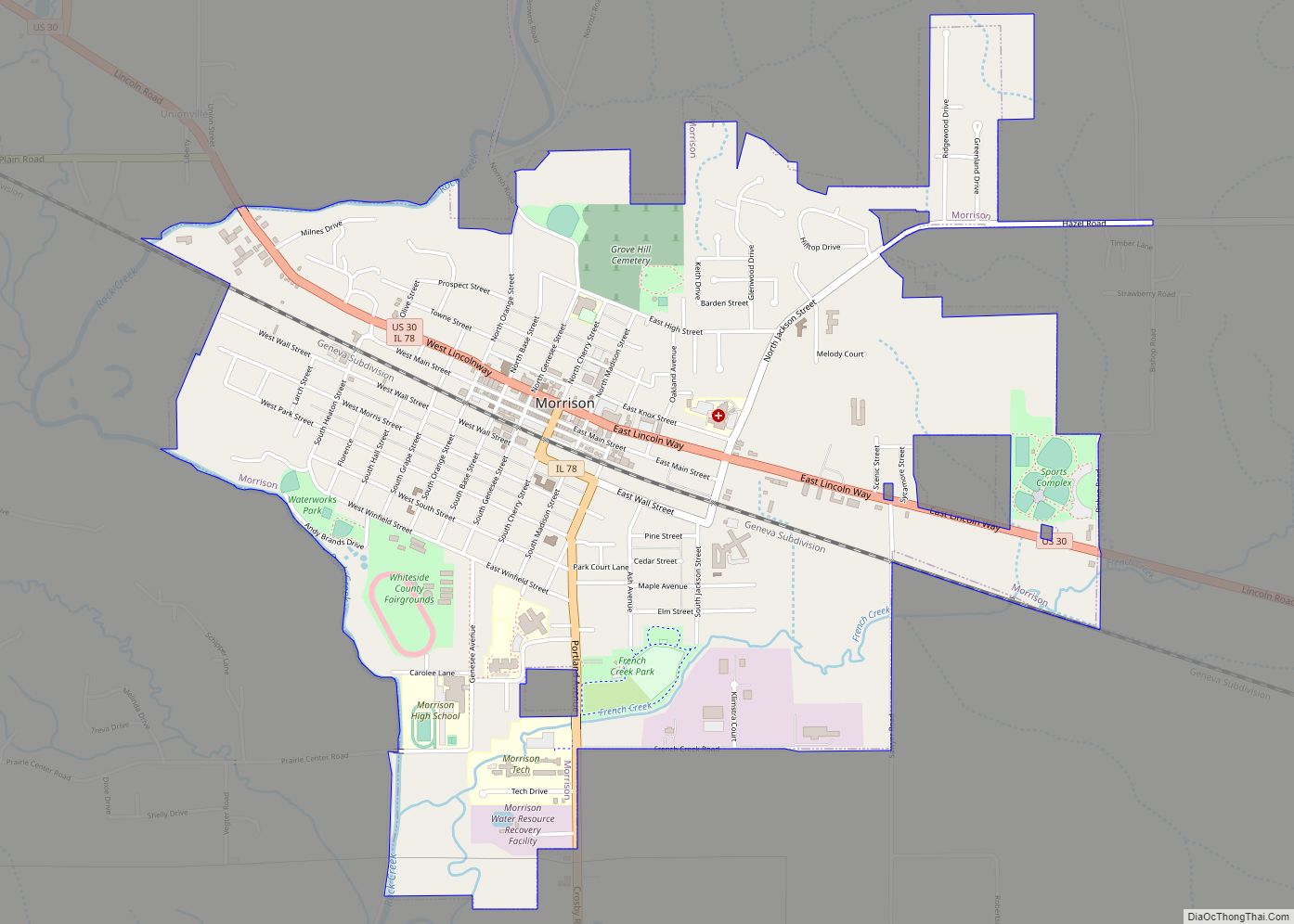
Morrison is a city in Whiteside County, Illinois, United States. The population was 4,188 at the 2010 census, down from 4,447 in 2000. It is the county seat of Whiteside County. It is located on the Historic Lincoln Highway, the nation’s first transcontinental highway and in Morrison was the site of two concrete “seedling miles”, … Read more

Map of Morton village

Map of Morton village, Illinois

Morton is a village in Tazewell County, Illinois, United States. The population was 17,117 at the 2020 census. Morton is a suburb of Peoria and is part of the Peoria Metropolitan Statistical Area and is located southeast of Peoria. The community holds an annual Morton Pumpkin Festival in the second week of September, and claims … Read more

Map of Morton Grove village

Map of Morton Grove village

Morton Grove is a village in Cook County, Illinois. Per the 2020 census, the population was 25,297. The village is named after former United States Vice President Levi Parsons Morton, who helped finance the Chicago, Milwaukee and St. Paul Railroad (later the Milwaukee Road), which roughly tracked the North Branch of the Chicago River in … Read more

Map of Mound Station village

Map of Mound Station village

Mound Station (Timewell) is a village in Brown County, Illinois, United States. The population was 117 at the 2020 census. Mound Station village overview: Name: Mound Station village LSAD Code: 47 LSAD Description: village (suffix) State: Illinois County: Brown County Elevation: 755 ft (230 m) Total Area: 0.52 sq mi (1.34 km²) Land Area: 0.52 sq mi (1.34 km²) Water Area: 0.00 sq mi (0.00 km²) … Read more

Map of Mound City city

Map of Mound City, Illinois

Mound City is a city and the county seat of Pulaski County, Illinois, United States. It is located along the Ohio River just north of its confluence with the Mississippi River. As of the 2010 census, the city population was 588. Mound City city overview: Name: Mound City city LSAD Code: 25 LSAD Description: city … Read more

Map of Mount Auburn village, Illinois

Map of Mount Auburn village, Illinois

Mount Auburn is a village in Christian County, Illinois, United States. The population was 452 at the 2020 census. Mount Auburn village overview: Name: Mount Auburn village LSAD Code: 47 LSAD Description: village (suffix) State: Illinois County: Christian County Elevation: 679 ft (207 m) Total Area: 1.00 sq mi (2.58 km²) Land Area: 1.00 sq mi (2.58 km²) Water Area: 0.00 sq mi (0.00 km²) Total … Read more

Map of Mounds city

Map of Mounds city, Illinois

Mounds is a city in Pulaski County, Illinois, United States. The population was 810 in the 2010 census, a decline from 1,117 in 2000. Mounds city overview: Name: Mounds city LSAD Code: 25 LSAD Description: city (suffix) State: Illinois County: Pulaski County Elevation: 328 ft (100 m) Total Area: 1.22 sq mi (3.15 km²) Land Area: 1.21 sq mi (3.13 km²) Water Area: … Read more

Map of Mount Carroll city

Map of Mount Carroll city

Mount Carroll is a city in Carroll County, Illinois, United States. It is the Carroll County seat. The population was 1479 at the 2020 census. Due to its elevation and northwesterly location, Mount Carroll is subject to unusually cold winter weather. From 1930 to 1999, Mount Carroll held the record for the lowest temperature ever … Read more

Map of Mount Carmel city, Illinois

Map of Mount Carmel city, Illinois

Mount Carmel is a city in and the county seat of Wabash County, Illinois, United States. At the time of the 2010 census, the population was 7,284, and it is the largest city in the county. The next largest town in Wabash County is Allendale, population 475. Located at the confluence of the Wabash, Patoka, … Read more

Map of Mount Erie village

Map of Mount Erie village

Mount Erie is a village in Wayne County, Illinois, United States. The population was 105 at the 2000 census. Mount Erie village overview: Name: Mount Erie village LSAD Code: 47 LSAD Description: village (suffix) State: Illinois County: Wayne County Elevation: 515 ft (157 m) Total Area: 0.38 sq mi (0.99 km²) Land Area: 0.38 sq mi (0.99 km²) Water Area: 0.00 sq mi (0.00 km²) Total … Read more

Map of Mount Clare village

Map of Mount Clare village

Mount Clare is a village in Macoupin County, Illinois, United States. Its population was 311 at the 2020 census. Mount Clare village overview: Name: Mount Clare village LSAD Code: 47 LSAD Description: village (suffix) State: Illinois County: Macoupin County Total Area: 1.58 sq mi (4.09 km²) Land Area: 1.54 sq mi (3.98 km²) Water Area: 0.04 sq mi (0.10 km²) Total Population: 311 Population … Read more

Map of Mount Olive city, Illinois

Map of Mount Olive city, Illinois

Mount Olive is a city in Macoupin County, Illinois, United States. The population was 2,015 at the 2020 census. The city is part of the Metro East region within the St. Louis metropolitan area. Mount Olive city overview: Name: Mount Olive city LSAD Code: 25 LSAD Description: city (suffix) State: Illinois County: Macoupin County Elevation: … Read more