Morrison is a city in Whiteside County, Illinois, United States. The population was 4,188 at the 2010 census, down from 4,447 in 2000. It is the county seat of Whiteside County. It is located on the Historic Lincoln Highway, the nation’s first transcontinental highway and in Morrison was the site of two concrete “seedling miles”, which served as prototypes of what an improved highway could do for the nation.
| Name: | Morrison city |
|---|---|
| LSAD Code: | 25 |
| LSAD Description: | city (suffix) |
| State: | Illinois |
| County: | Whiteside County |
| Total Area: | 2.52 sq mi (6.52 km²) |
| Land Area: | 2.52 sq mi (6.52 km²) |
| Water Area: | 0.00 sq mi (0.00 km²) |
| Total Population: | 4,085 |
| Population Density: | 1,622.32/sq mi (626.45/km²) |
| Area code: | 815 |
| FIPS code: | 1750530 |
| Website: | www.morrisonil.org |
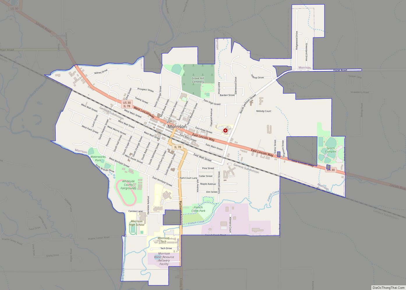
Online Interactive Map
Click on ![]() to view map in "full screen" mode.
to view map in "full screen" mode.
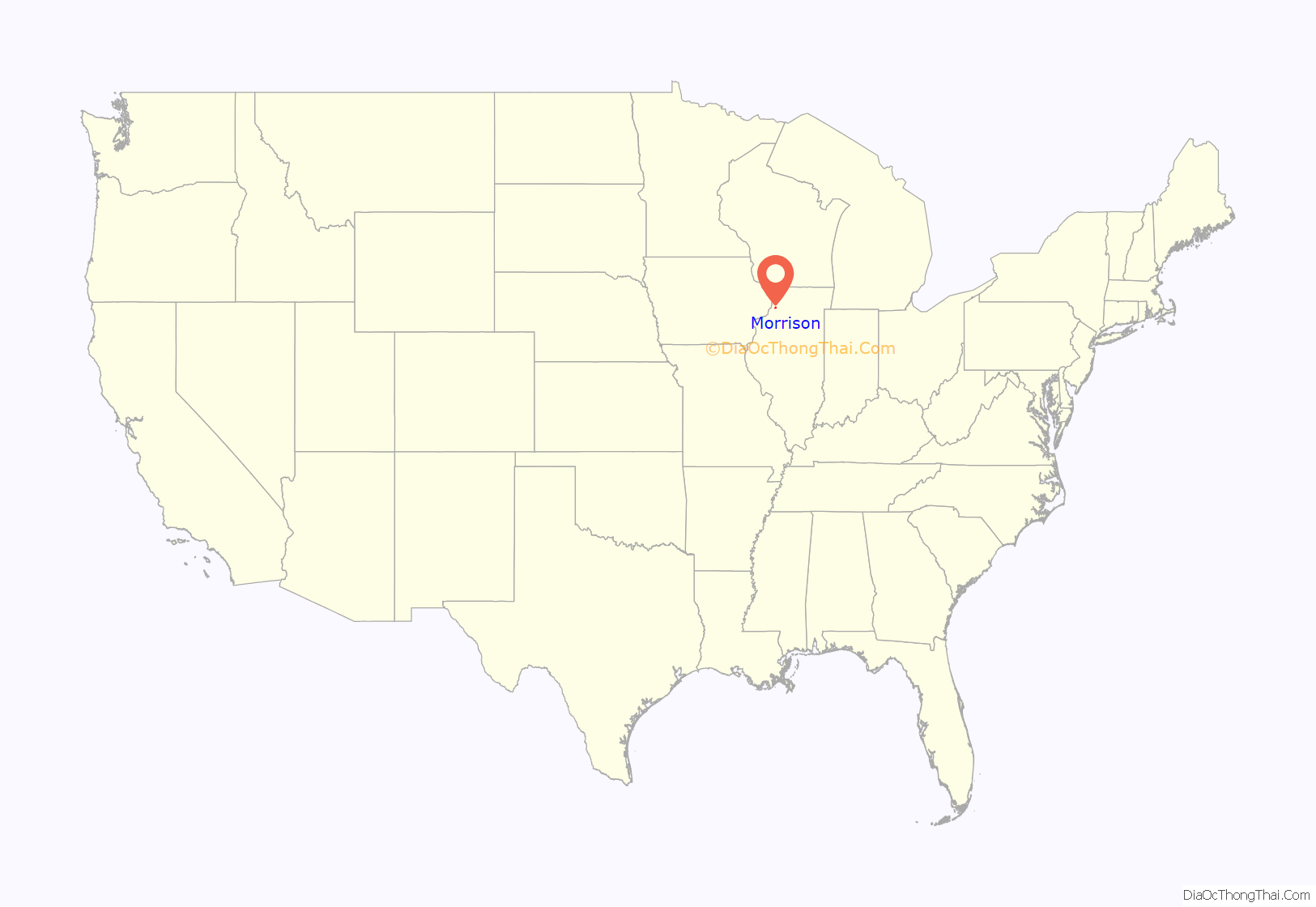
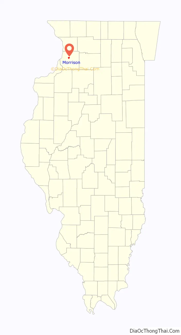
Morrison location map. Where is Morrison city?
History
In 1854, Lyman Johnson and H. S. Vroom were already in what would become the City of Morrison as contractors and builders for the Air-line railroad, now the Union Pacific Railroad. Johnson and Vroom, along with several other entrepreneurs, acquired the land that would surround the rail station that was planned here. They managed the work of surveyor W.S. Wilkinson in the layout of the future town in 1855. Among these entrepreneurs were W.H. Van Epps. Lyman Johnson decided to call the town Morrison, in honor of Charles Morrison, a friend of Van Epps and a wealthy merchant from New York, who promised financial support in the way of loans for the town’s development. Shortly thereafter, Morrison suffered severe financial losses and he was unable to participate, yet his name remained.
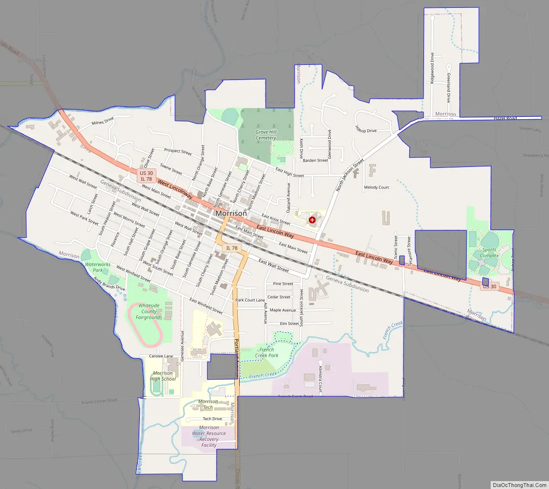
Morrison Road Map
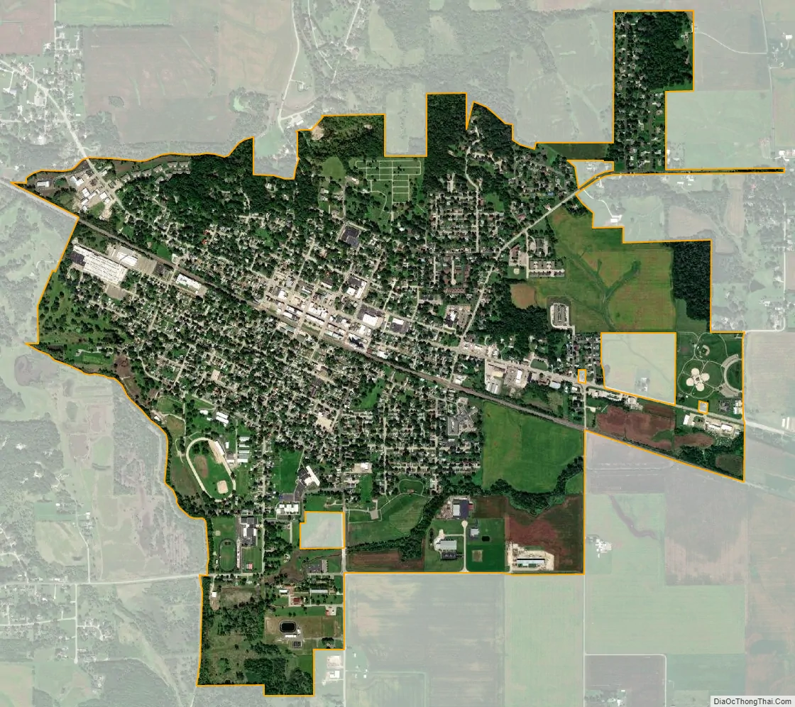
Morrison city Satellite Map
Geography
Morrison is located at 41°48′33″N 89°58′5″W / 41.80917°N 89.96806°W / 41.80917; -89.96806 (41.809258, -89.967953), placing it near the 90 degrees west line of longitude.
According to the 2010 census, Morrison has a total area of 2.46 square miles (6.37 km), all land.
Climate
See also
Map of Illinois State and its subdivision:- Adams
- Alexander
- Bond
- Boone
- Brown
- Bureau
- Calhoun
- Carroll
- Cass
- Champaign
- Christian
- Clark
- Clay
- Clinton
- Coles
- Cook
- Crawford
- Cumberland
- De Kalb
- De Witt
- Douglas
- Dupage
- Edgar
- Edwards
- Effingham
- Fayette
- Ford
- Franklin
- Fulton
- Gallatin
- Greene
- Grundy
- Hamilton
- Hancock
- Hardin
- Henderson
- Henry
- Iroquois
- Jackson
- Jasper
- Jefferson
- Jersey
- Jo Daviess
- Johnson
- Kane
- Kankakee
- Kendall
- Knox
- La Salle
- Lake
- Lake Michigan
- Lawrence
- Lee
- Livingston
- Logan
- Macon
- Macoupin
- Madison
- Marion
- Marshall
- Mason
- Massac
- McDonough
- McHenry
- McLean
- Menard
- Mercer
- Monroe
- Montgomery
- Morgan
- Moultrie
- Ogle
- Peoria
- Perry
- Piatt
- Pike
- Pope
- Pulaski
- Putnam
- Randolph
- Richland
- Rock Island
- Saint Clair
- Saline
- Sangamon
- Schuyler
- Scott
- Shelby
- Stark
- Stephenson
- Tazewell
- Union
- Vermilion
- Wabash
- Warren
- Washington
- Wayne
- White
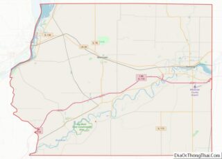
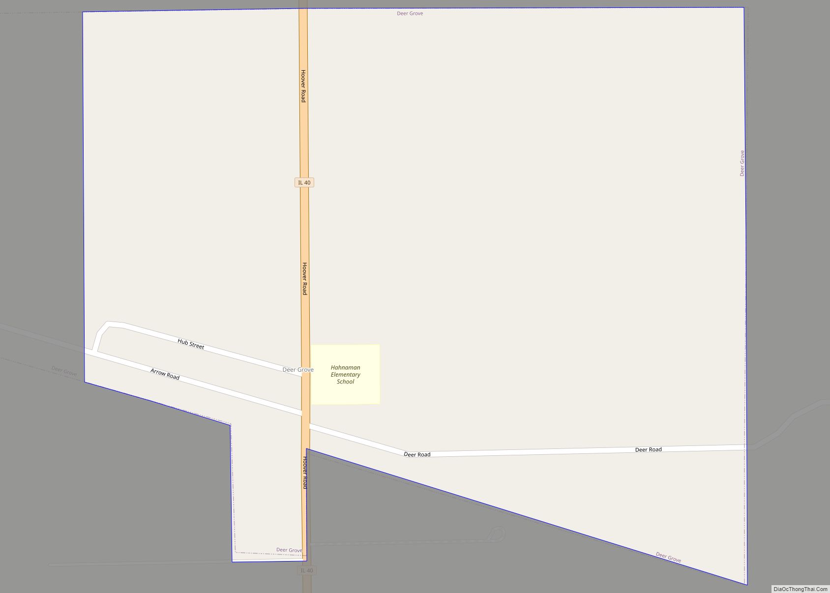
- Whiteside
- Will
- Williamson
- Winnebago
- Woodford
- Alabama
- Alaska
- Arizona
- Arkansas
- California
- Colorado
- Connecticut
- Delaware
- District of Columbia
- Florida
- Georgia
- Hawaii
- Idaho
- Illinois
- Indiana
- Iowa
- Kansas
- Kentucky
- Louisiana
- Maine
- Maryland
- Massachusetts
- Michigan
- Minnesota
- Mississippi
- Missouri
- Montana
- Nebraska
- Nevada
- New Hampshire
- New Jersey
- New Mexico
- New York
- North Carolina
- North Dakota
- Ohio
- Oklahoma
- Oregon
- Pennsylvania
- Rhode Island
- South Carolina
- South Dakota
- Tennessee
- Texas
- Utah
- Vermont
- Virginia
- Washington
- West Virginia
- Wisconsin
- Wyoming