Morton is a village in Tazewell County, Illinois, United States. The population was 17,117 at the 2020 census. Morton is a suburb of Peoria and is part of the Peoria Metropolitan Statistical Area and is located southeast of Peoria. The community holds an annual Morton Pumpkin Festival in the second week of September, and claims that 82 percent of the world’s canned pumpkin is produced in Morton, earning it the designation “Pumpkin Capital of the World”. This nickname had been lived up to because of the institution of the Libby’s pumpkin factory.
| Name: | Morton village |
|---|---|
| LSAD Code: | 47 |
| LSAD Description: | village (suffix) |
| State: | Illinois |
| County: | Tazewell County |
| Founded: | 1830 |
| Elevation: | 712 ft (217 m) |
| Total Area: | 12.85 sq mi (33.29 km²) |
| Land Area: | 12.81 sq mi (33.18 km²) |
| Water Area: | 0.04 sq mi (0.10 km²) |
| Total Population: | 17,117 |
| Population Density: | 1,336.01/sq mi (515.84/km²) |
| Area code: | 309 |
| FIPS code: | 1750621 |
| GNISfeature ID: | 2399402 |
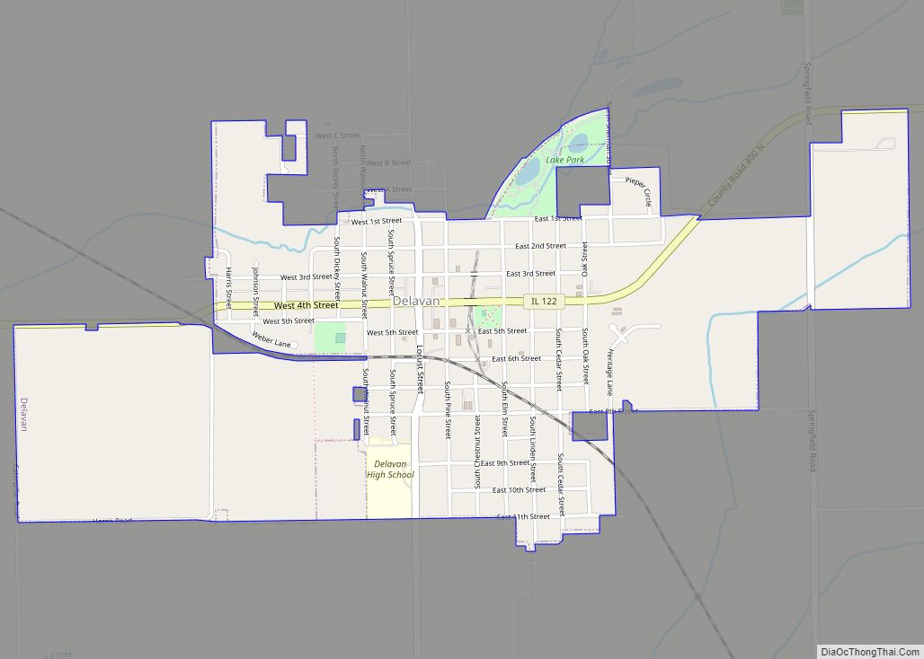
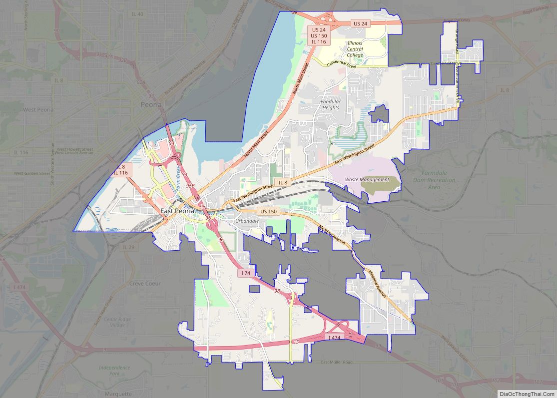
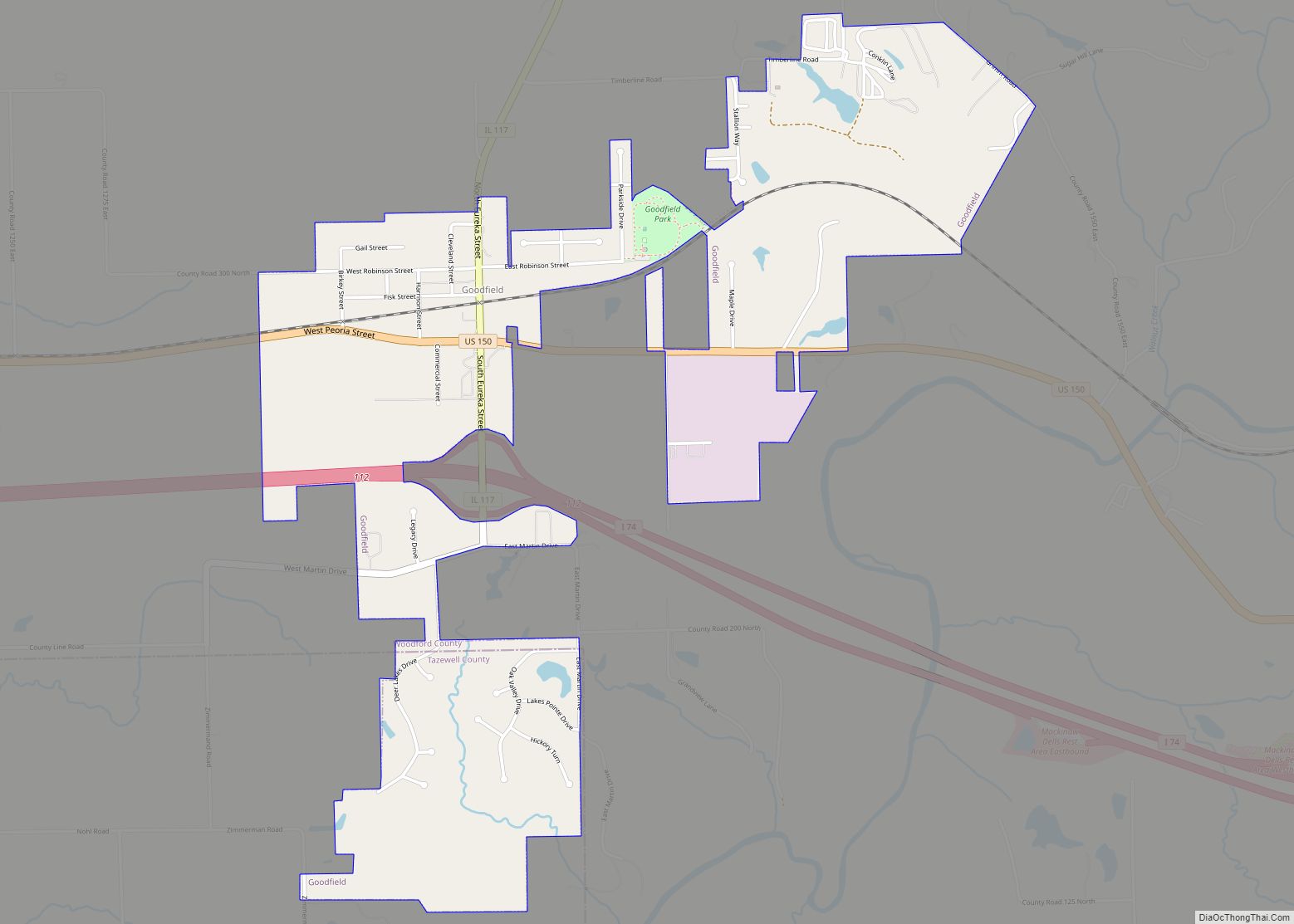
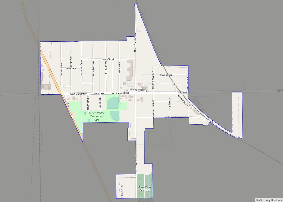
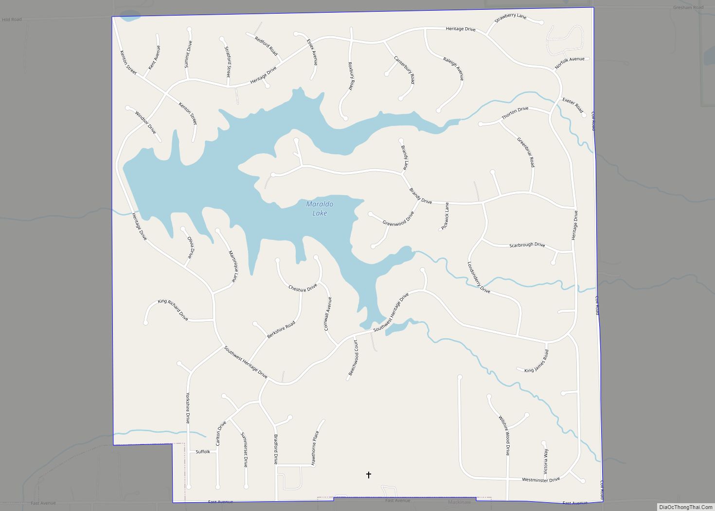
Online Interactive Map
Click on ![]() to view map in "full screen" mode.
to view map in "full screen" mode.
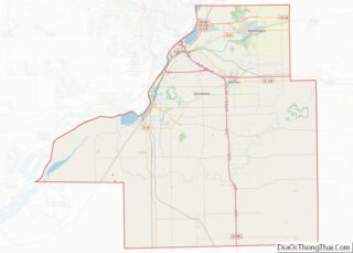
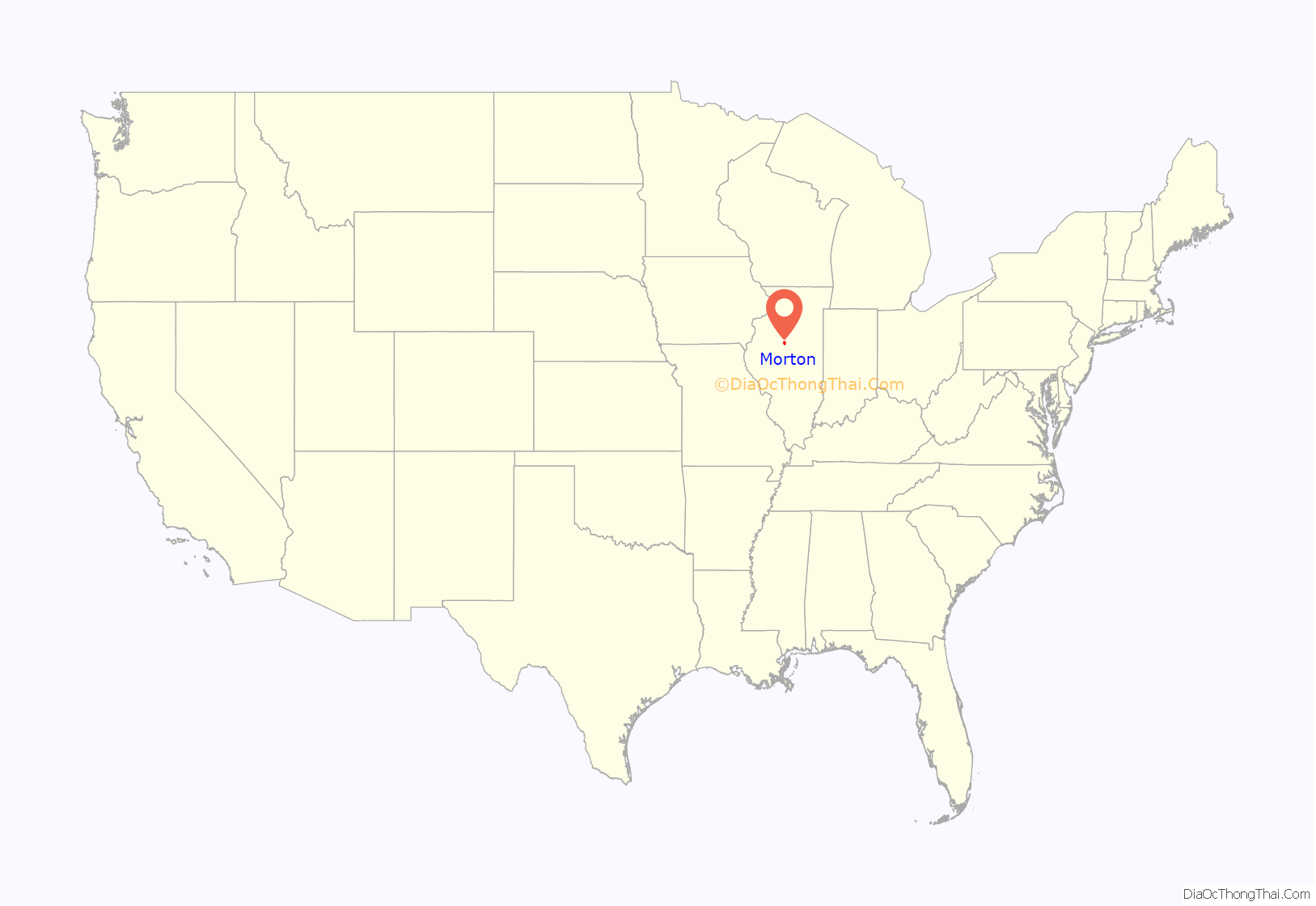
Morton location map. Where is Morton village?

Morton Road Map
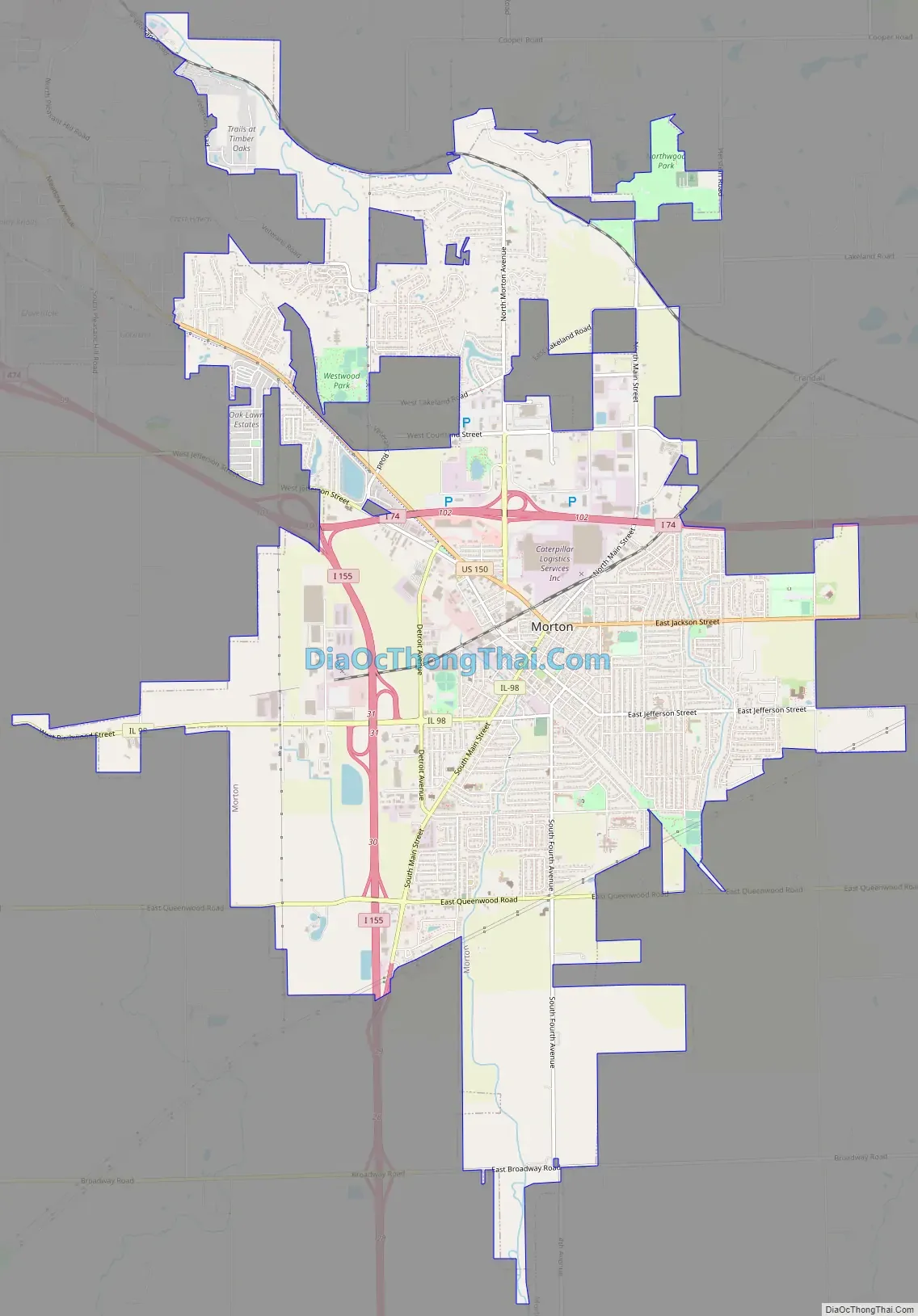
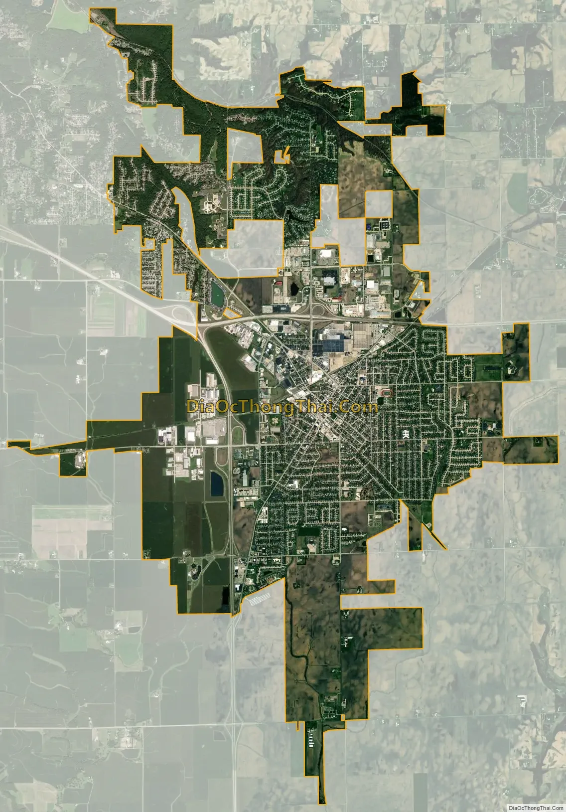
Morton city Satellite Map
Geography
According to the 2010 census, Morton has a total area of 12.994 square miles (33.65 km), of which 12.95 square miles (33.54 km) (or 99.66%) is land and 0.044 square miles (0.11 km) (or 0.34%) is water.
See also
Map of Illinois State and its subdivision:- Adams
- Alexander
- Bond
- Boone
- Brown
- Bureau
- Calhoun
- Carroll
- Cass
- Champaign
- Christian
- Clark
- Clay
- Clinton
- Coles
- Cook
- Crawford
- Cumberland
- De Kalb
- De Witt
- Douglas
- Dupage
- Edgar
- Edwards
- Effingham
- Fayette
- Ford
- Franklin
- Fulton
- Gallatin
- Greene
- Grundy
- Hamilton
- Hancock
- Hardin
- Henderson
- Henry
- Iroquois
- Jackson
- Jasper
- Jefferson
- Jersey
- Jo Daviess
- Johnson
- Kane
- Kankakee
- Kendall
- Knox
- La Salle
- Lake
- Lake Michigan
- Lawrence
- Lee
- Livingston
- Logan
- Macon
- Macoupin
- Madison
- Marion
- Marshall
- Mason
- Massac
- McDonough
- McHenry
- McLean
- Menard
- Mercer
- Monroe
- Montgomery
- Morgan
- Moultrie
- Ogle
- Peoria
- Perry
- Piatt
- Pike
- Pope
- Pulaski
- Putnam
- Randolph
- Richland
- Rock Island
- Saint Clair
- Saline
- Sangamon
- Schuyler
- Scott
- Shelby
- Stark
- Stephenson
- Tazewell
- Union
- Vermilion
- Wabash
- Warren
- Washington
- Wayne
- White
- Whiteside
- Will
- Williamson
- Winnebago
- Woodford
- Alabama
- Alaska
- Arizona
- Arkansas
- California
- Colorado
- Connecticut
- Delaware
- District of Columbia
- Florida
- Georgia
- Hawaii
- Idaho
- Illinois
- Indiana
- Iowa
- Kansas
- Kentucky
- Louisiana
- Maine
- Maryland
- Massachusetts
- Michigan
- Minnesota
- Mississippi
- Missouri
- Montana
- Nebraska
- Nevada
- New Hampshire
- New Jersey
- New Mexico
- New York
- North Carolina
- North Dakota
- Ohio
- Oklahoma
- Oregon
- Pennsylvania
- Rhode Island
- South Carolina
- South Dakota
- Tennessee
- Texas
- Utah
- Vermont
- Virginia
- Washington
- West Virginia
- Wisconsin
- Wyoming