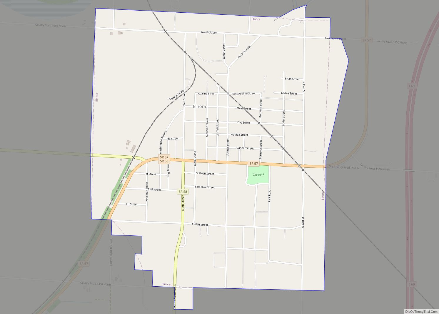
Elnora is a town in Elmore Township, Daviess County, Indiana, United States. The population was 640 at the 2010 census. Elnora town overview: Name: Elnora town LSAD Code: 43 LSAD Description: town (suffix) State: Indiana County: Daviess County Elevation: 479 ft (146 m) Total Area: 0.98 sq mi (2.53 km²) Land Area: 0.98 sq mi (2.53 km²) Water Area: 0.00 sq mi (0.00 km²) Total Population: ... Read more
Indiana Cities and Places
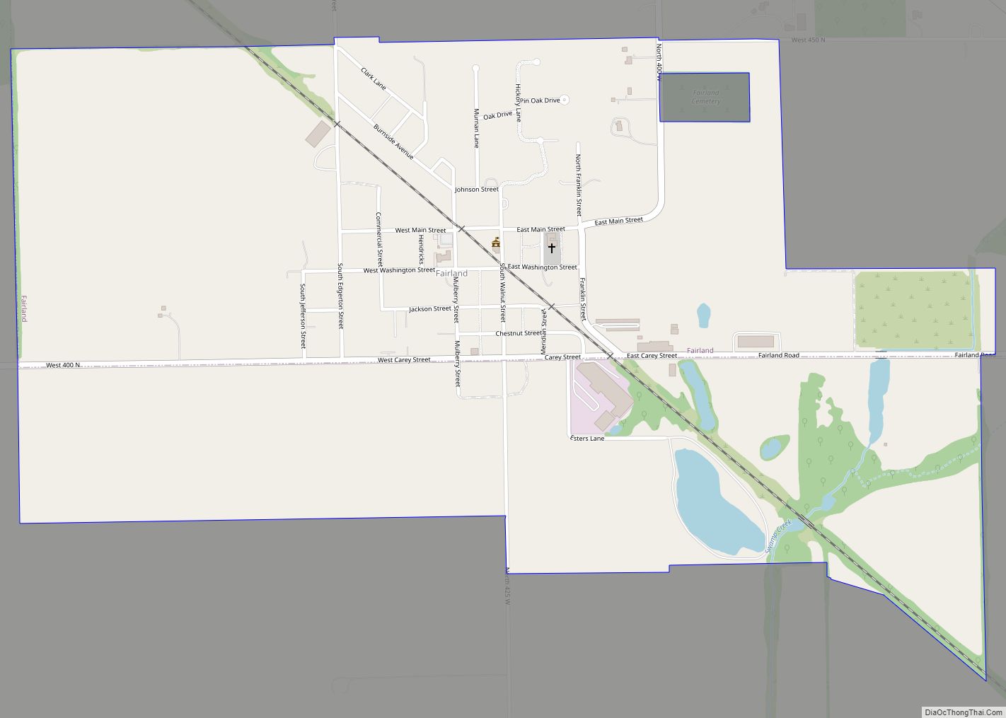
Fairland is a town in Brandywine Township, Shelby County, Indiana. The population was 315 at the 2010 census. Fairland town overview: Name: Fairland town LSAD Code: 43 LSAD Description: town (suffix) State: Indiana County: Shelby County Elevation: 774 ft (236 m) Total Area: 1.16 sq mi (3.00 km²) Land Area: 1.14 sq mi (2.96 km²) Water Area: 0.02 sq mi (0.04 km²) Total Population: 542 Population ... Read more
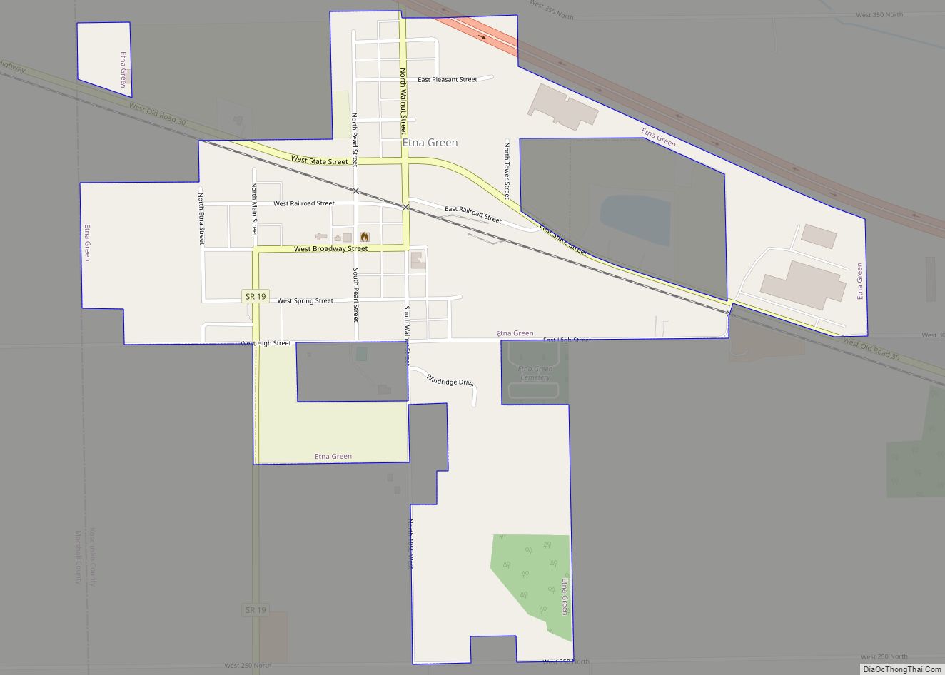
Etna Green is a town in Etna Township, Kosciusko County, in the U.S. state of Indiana. The population was 586 at the 2010 census. Etna Green town overview: Name: Etna Green town LSAD Code: 43 LSAD Description: town (suffix) State: Indiana County: Kosciusko County Elevation: 814 ft (248 m) Total Area: 0.50 sq mi (1.30 km²) Land Area: 0.50 sq mi (1.30 km²) ... Read more
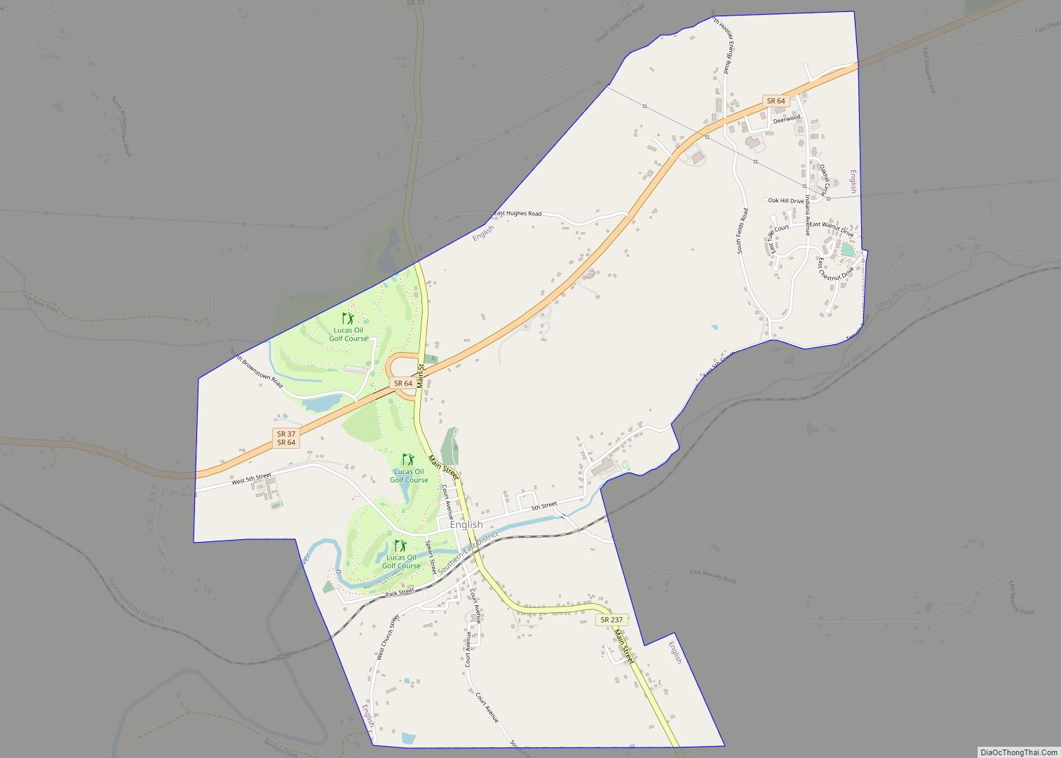
English is a town in Crawford County, Indiana, United States. It has served as the county seat of Crawford County since 28 December 1893. The population was 645 at the 2010 census, making it one of Indiana’s smallest county seats. The settlement was named Hartford (1839-1884) prior to its incorporation. English town overview: Name: English ... Read more
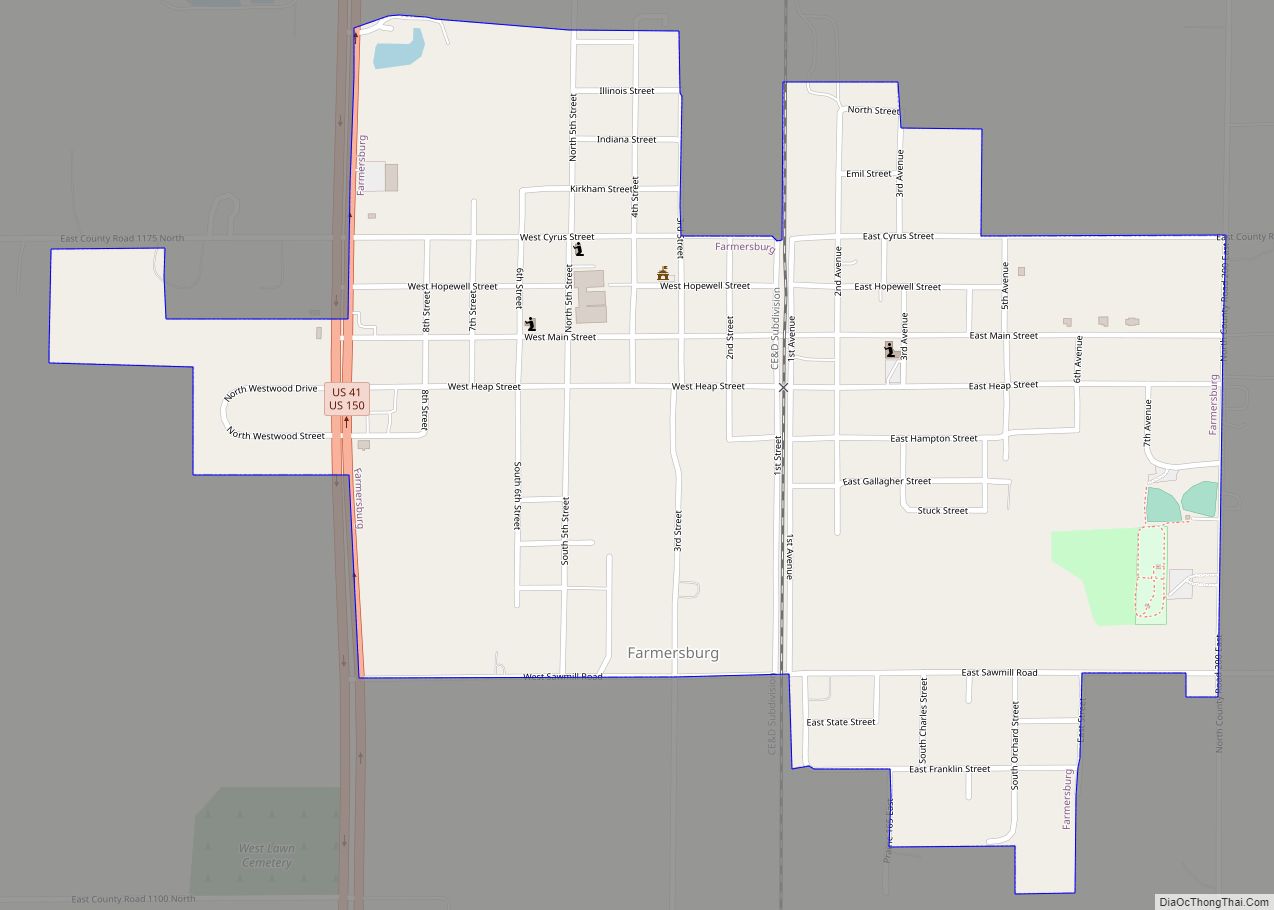
Farmersburg is a town in Curry Township, Sullivan County, Indiana, United States. The population was 1,118 at the 2010 census. It is part of the Terre Haute Metropolitan Statistical Area. The town is adjacent to the Vigo County line and is overshadowed by several large TV and radio transmitter towers. Farmersburg town overview: Name: Farmersburg ... Read more
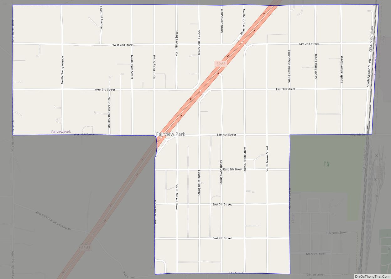
Fairview Park is a town in Clinton Township, Vermillion County, in the U.S. state of Indiana. The population was 1,386 at the 2010 census. Fairview Park town overview: Name: Fairview Park town LSAD Code: 43 LSAD Description: town (suffix) State: Indiana County: Vermillion County Elevation: 512 ft (156 m) Total Area: 0.87 sq mi (2.26 km²) Land Area: 0.87 sq mi (2.26 km²) ... Read more
Fairmount is a town in Fairmount Township, Grant County in the east central part of the U.S. state of Indiana. The population was 2,954 at the 2010 census. It is 55 miles (88 km) northeast of Indianapolis. Largely a bedroom community for nearby Marion, Fairmount is best known as the boyhood home of actor James Dean, ... Read more
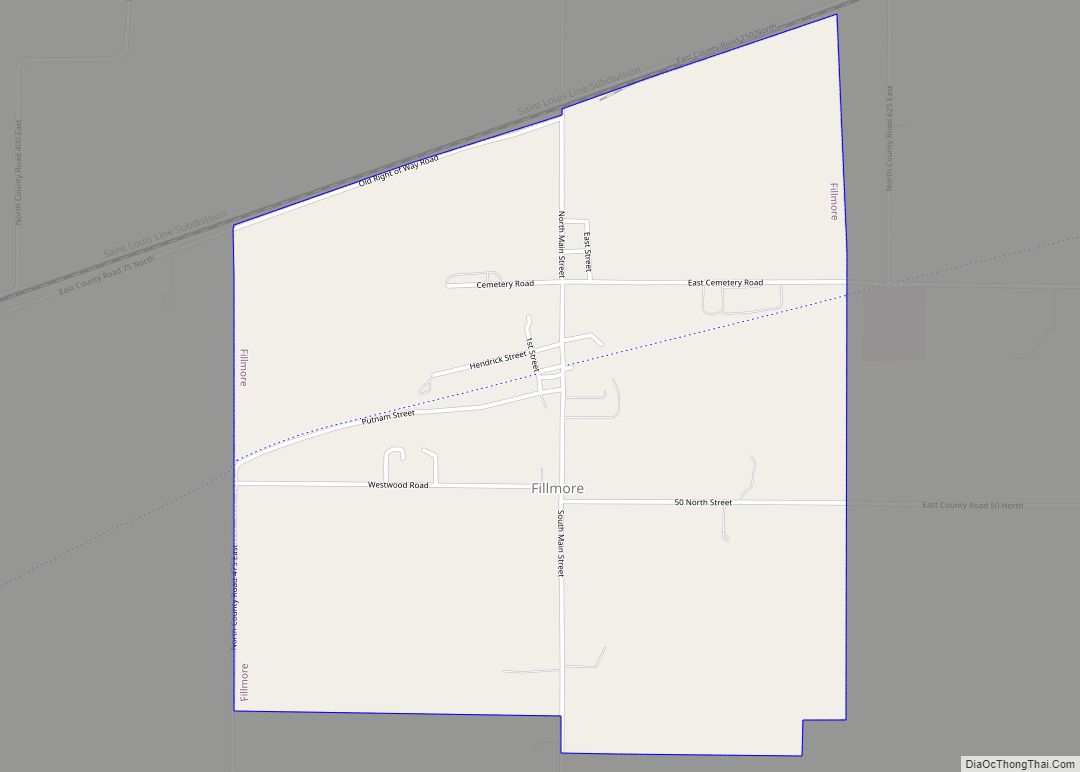
Fillmore is a town in Marion Township, Putnam County, in the U.S. state of Indiana. The population was 533 at the 2010 census. The town is part of the South Putnam Community Schools school district. Fillmore town overview: Name: Fillmore town LSAD Code: 43 LSAD Description: town (suffix) State: Indiana County: Putnam County Elevation: 837 ft ... Read more
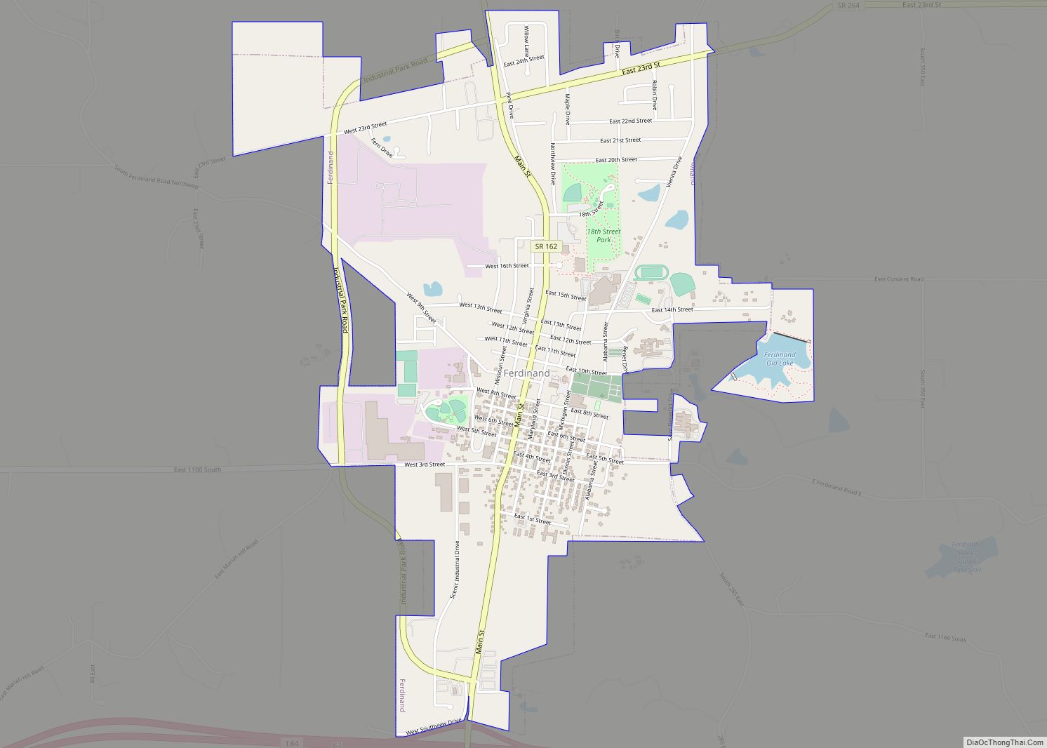
Ferdinand is a town in Ferdinand Township, Dubois County, in the U.S. state of Indiana. The population was 2,157 at the 2010 census. Ferdinand is part of the Jasper Micropolitan Statistical Area. Ferdinand town overview: Name: Ferdinand town LSAD Code: 43 LSAD Description: town (suffix) State: Indiana County: Dubois County Elevation: 535 ft (163 m) Total Area: ... Read more
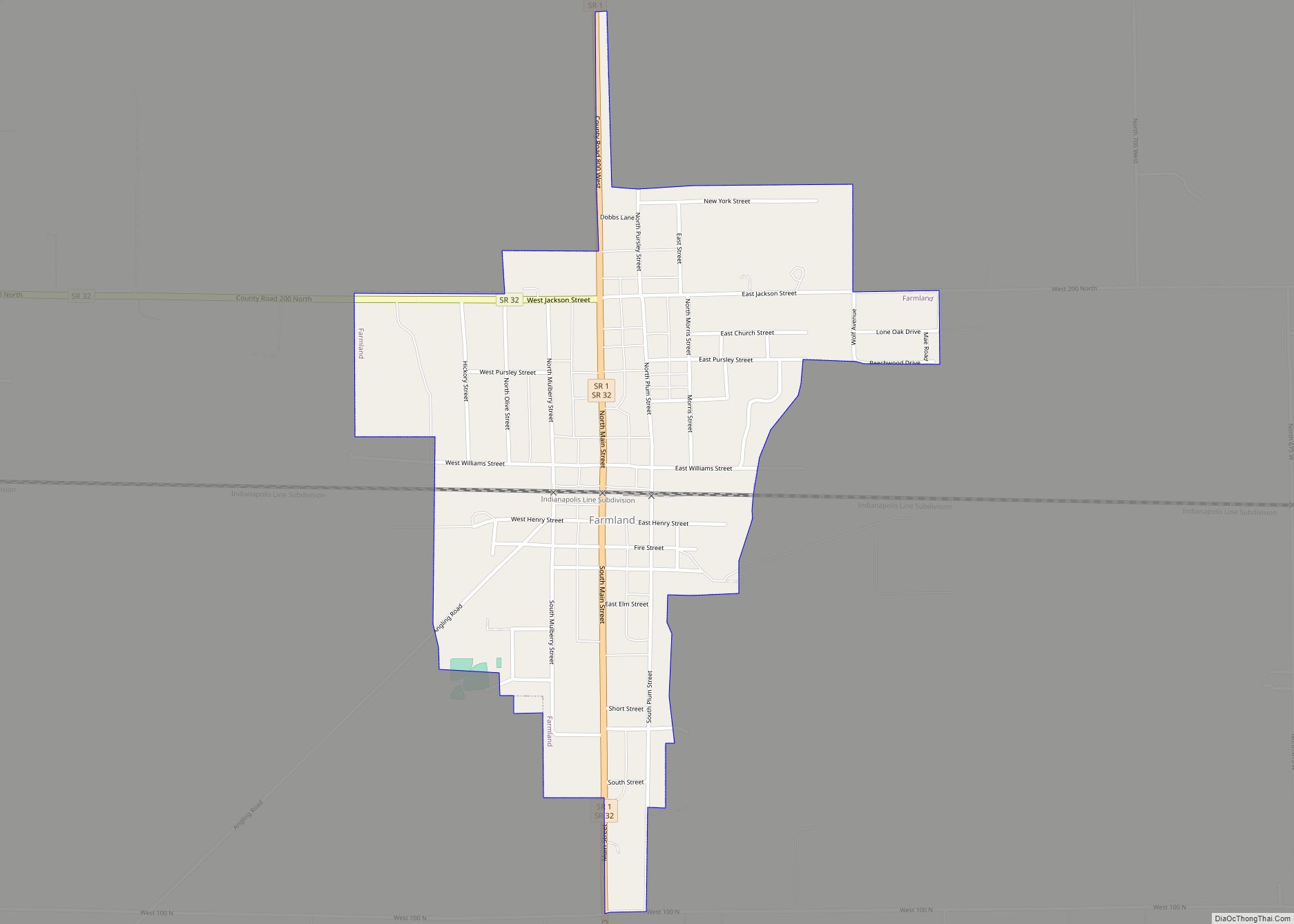
Farmland is a town in Monroe Township, Randolph County, in the U.S. state of Indiana. The population was 1,333 at the 2010 census. Farmland town overview: Name: Farmland town LSAD Code: 43 LSAD Description: town (suffix) State: Indiana County: Randolph County Elevation: 1,040 ft (317 m) Total Area: 0.53 sq mi (1.38 km²) Land Area: 0.53 sq mi (1.38 km²) Water Area: 0.00 sq mi ... Read more
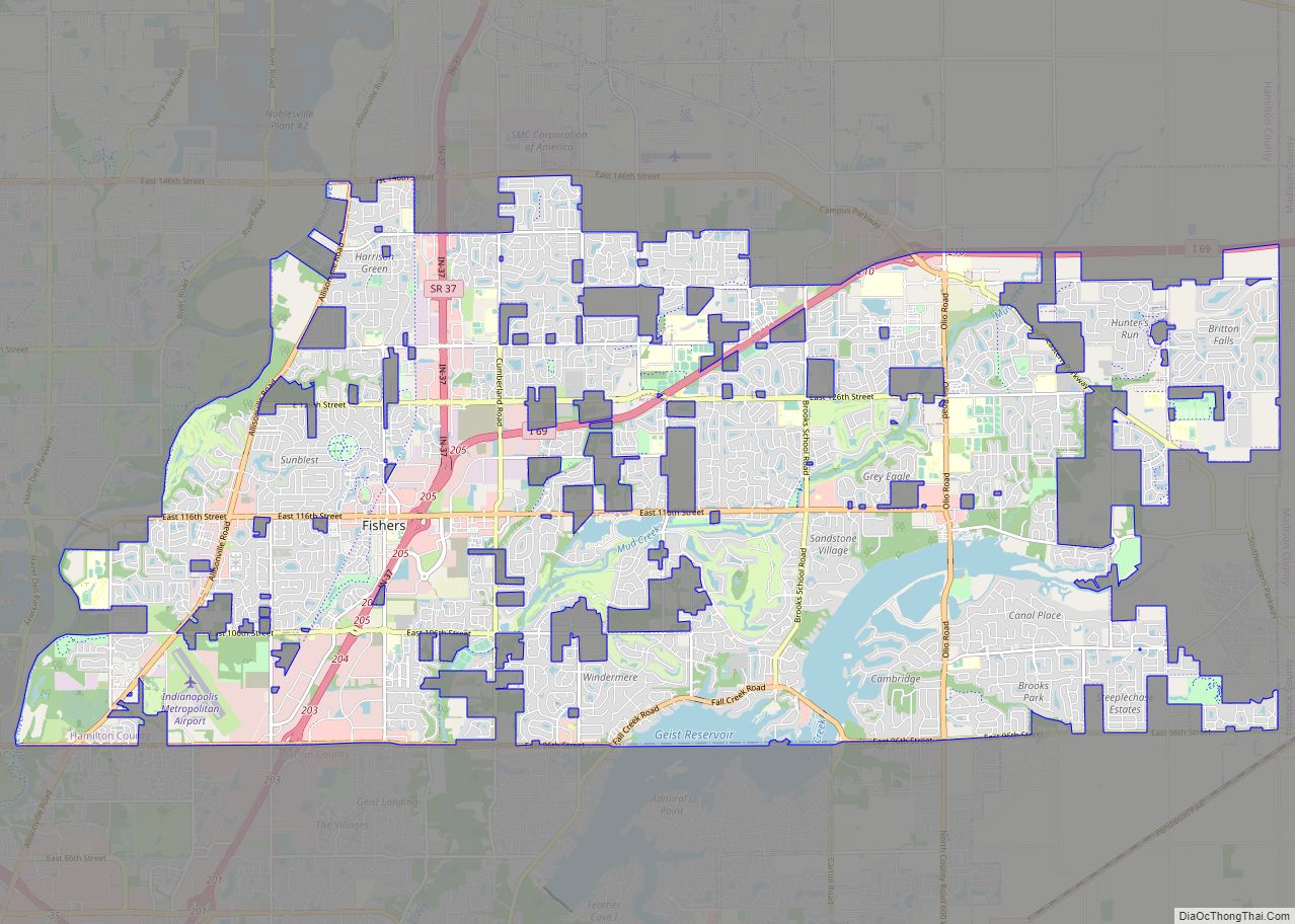
Fishers is a city in Fall Creek and Delaware townships, Hamilton County, Indiana, United States. As of the 2010 census the population was 76,794, and by 2019 the estimated population was 95,310. A suburb of Indianapolis, Fishers has grown rapidly in recent decades: about 350 people lived there in 1963, 2,000 in 1980, and only ... Read more
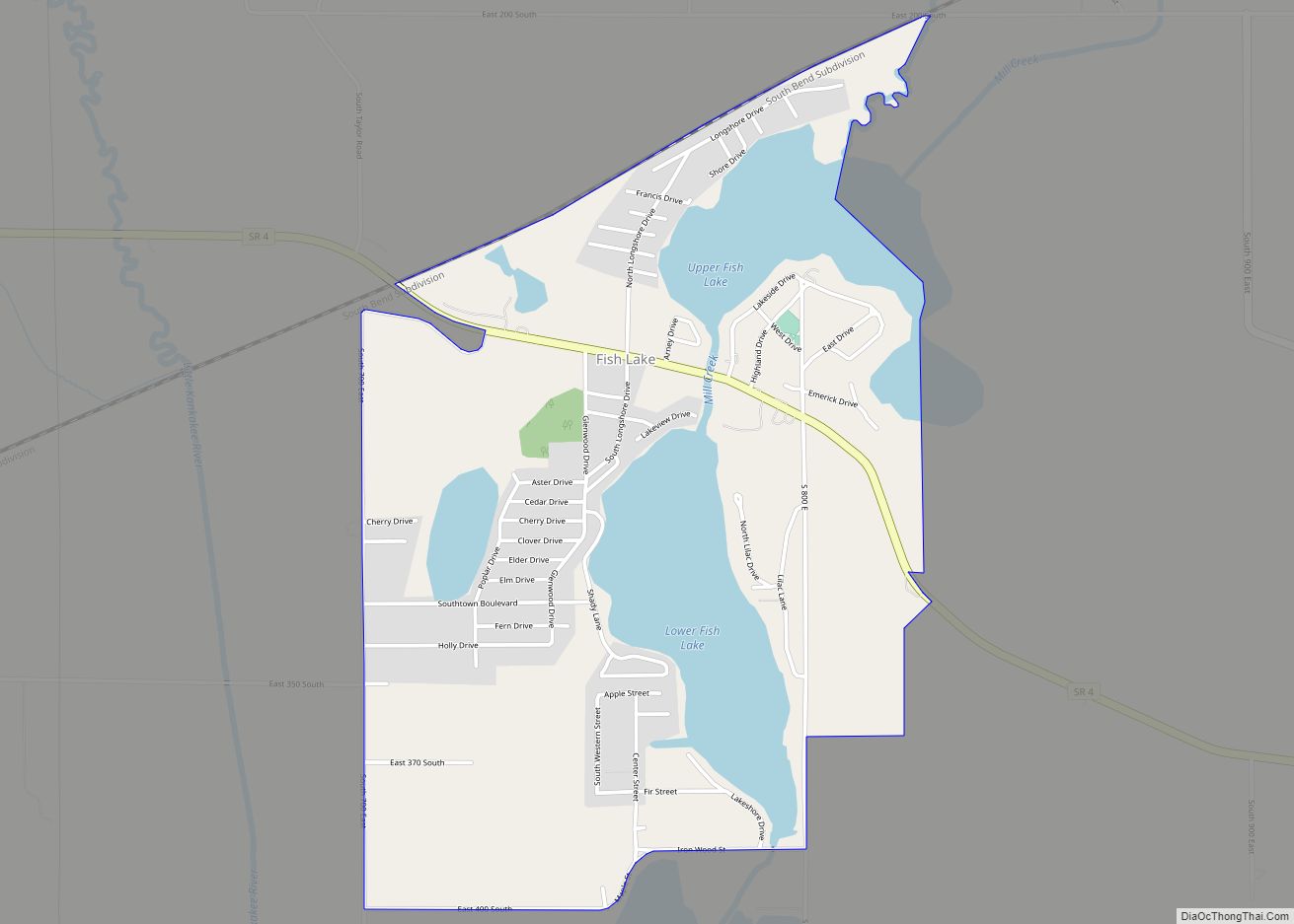
Fish Lake is an unincorporated community and census-designated place in Lincoln Township, LaPorte County, Indiana, United States. It is located where Indiana State Road 4 passes between Upper Fish Lake and Lower Fish Lake. These lakes feed the Kankakee River. As of the 2010 census, the population of the community was 1,016. Fish Lake CDP ... Read more
