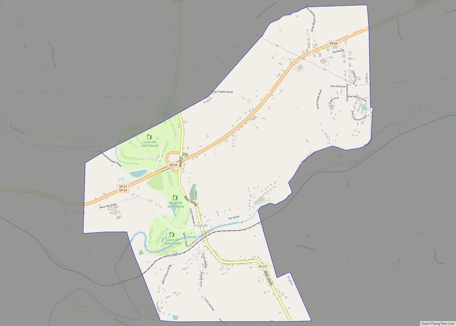
English is a town in Crawford County, Indiana, United States. It has served as the county seat of Crawford County since 28 December 1893. The population was 645 at the 2010 census, making it one of Indiana’s smallest county seats. The settlement was named Hartford (1839-1884) prior to its incorporation.
| Name: | English town |
|---|---|
| LSAD Code: | 43 |
| LSAD Description: | town (suffix) |
| State: | Indiana |
| County: | Crawford County |
| Elevation: | 505 ft (154 m) |
| Total Area: | 3.04 sq mi (7.88 km²) |
| Land Area: | 3.04 sq mi (7.88 km²) |
| Water Area: | 0.00 sq mi (0.00 km²) |
| Total Population: | 685 |
| Population Density: | 225.03/sq mi (86.89/km²) |
| ZIP code: | 47118 |
| Area code: | 812 |
| FIPS code: | 1821214 |
| GNISfeature ID: | 0434203 |
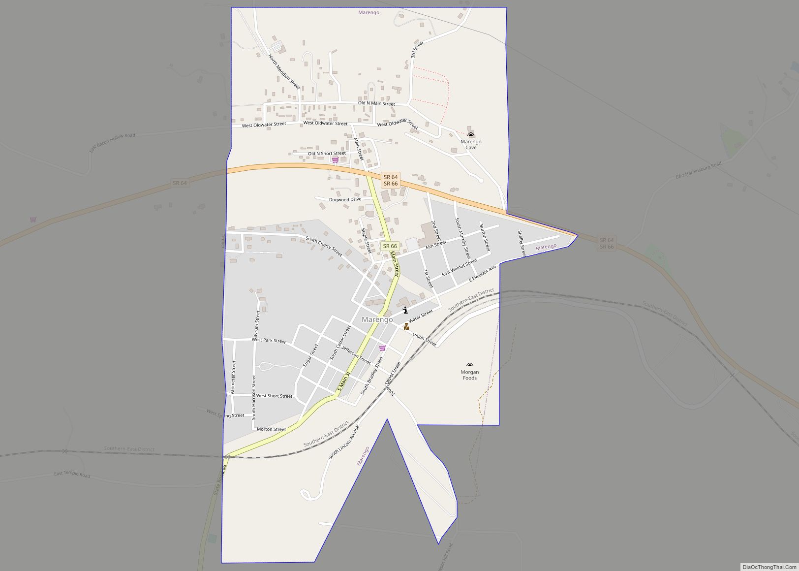
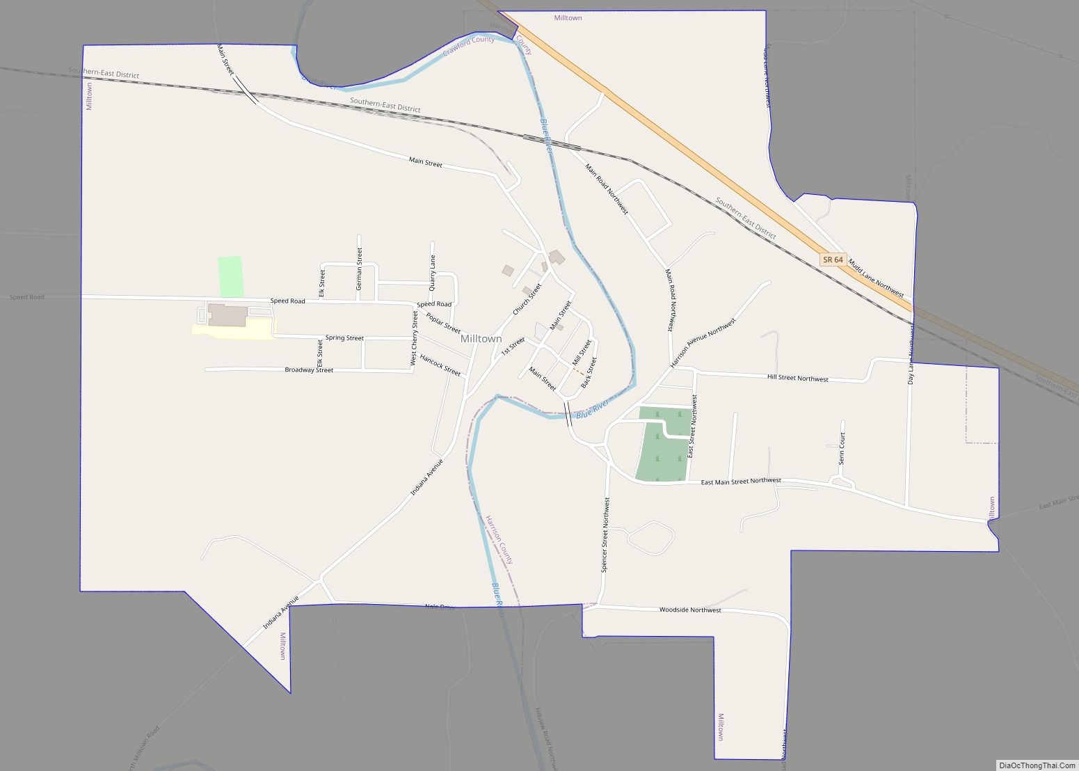
Online Interactive Map
Click on ![]() to view map in "full screen" mode.
to view map in "full screen" mode.
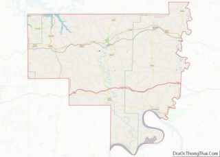
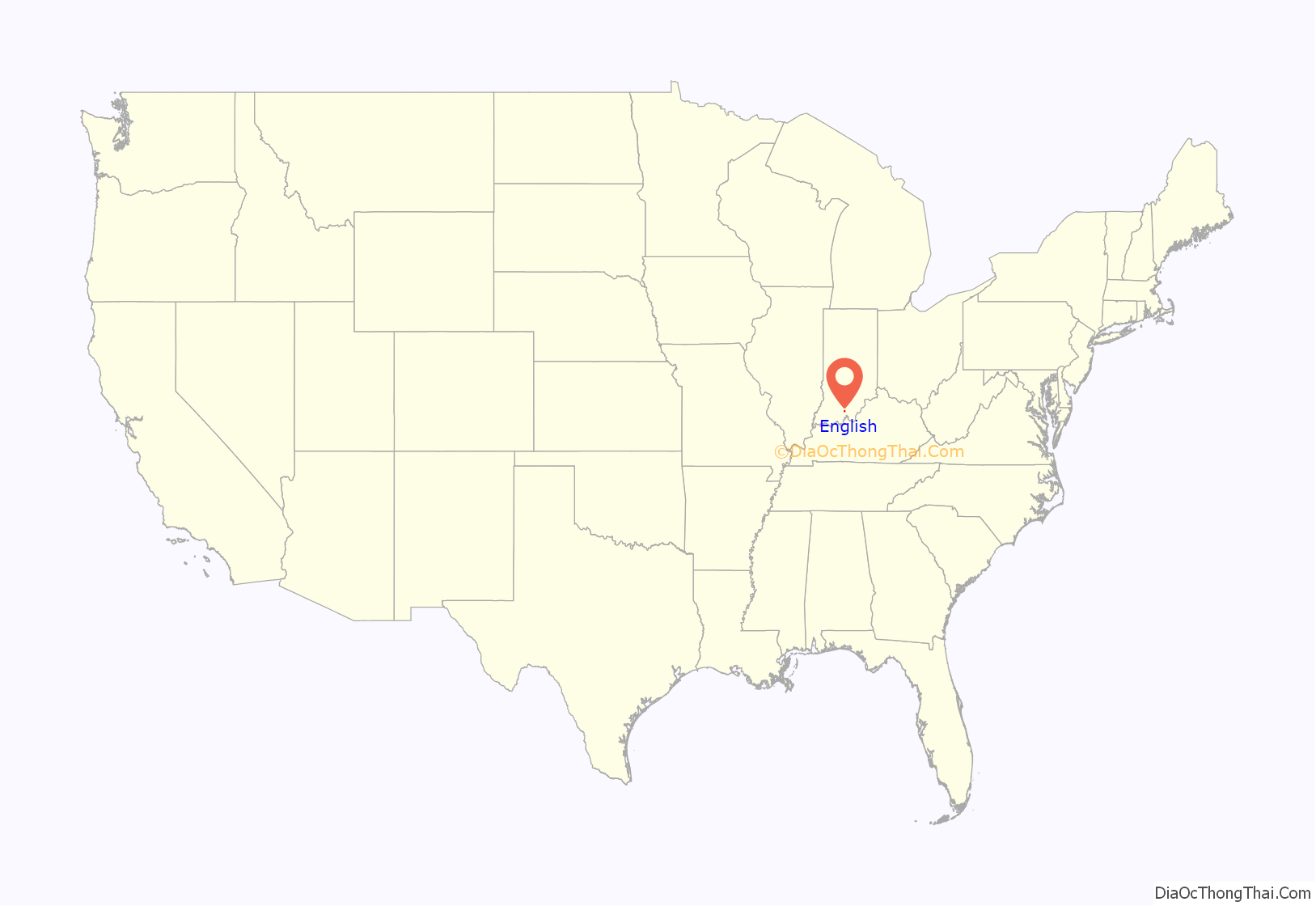
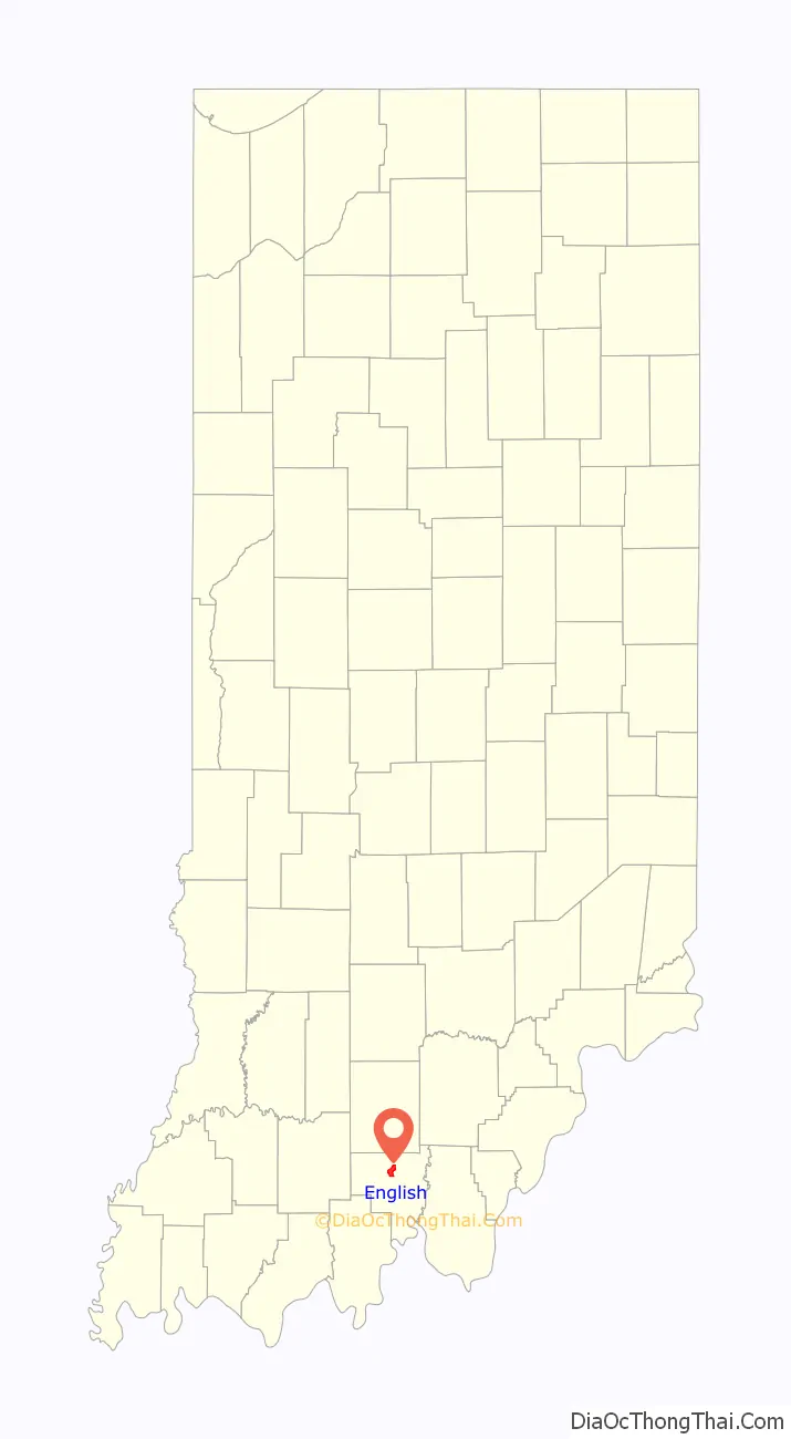
English location map. Where is English town?
History
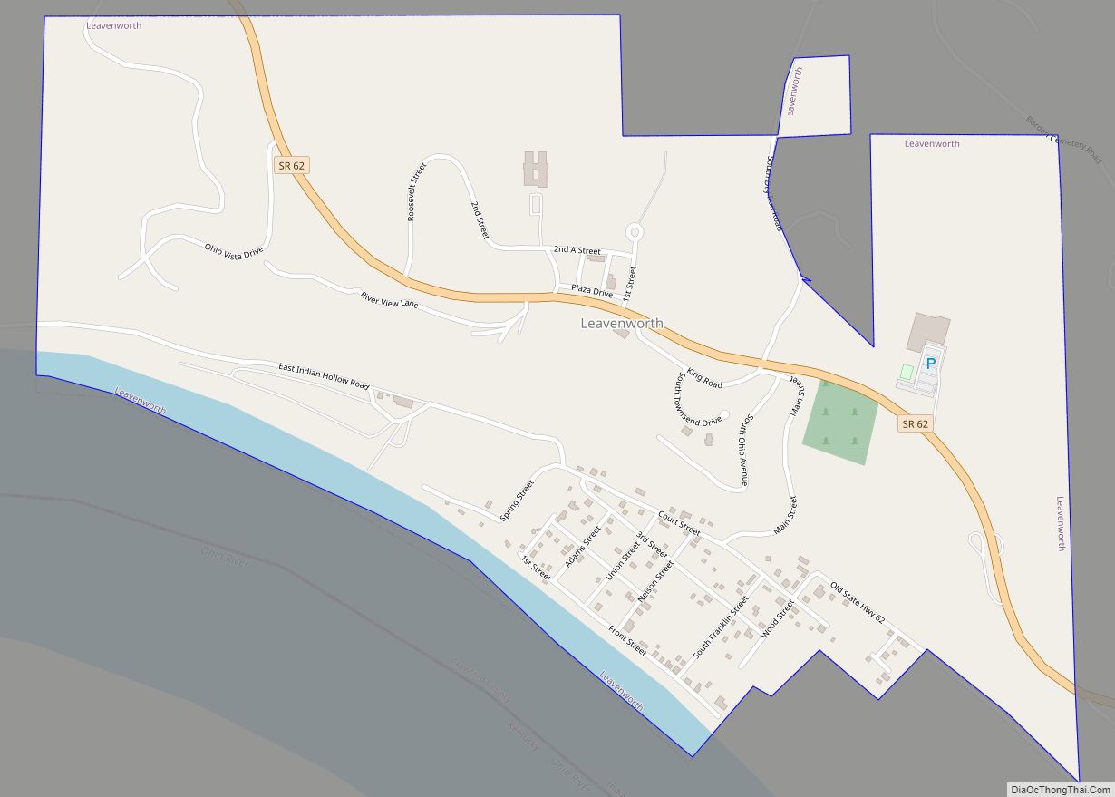
English was called Hartford when it was laid out in 1839. When the town incorporated in 1884 it was renamed English for William Hayden English, an Indiana politician of the day. On December 28, 1893, the county seat of Crawford County was relocated from Leavenworth to English.
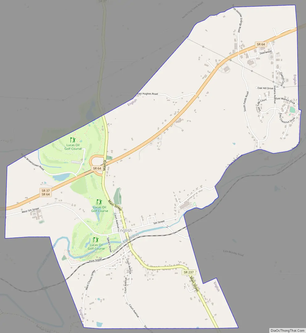
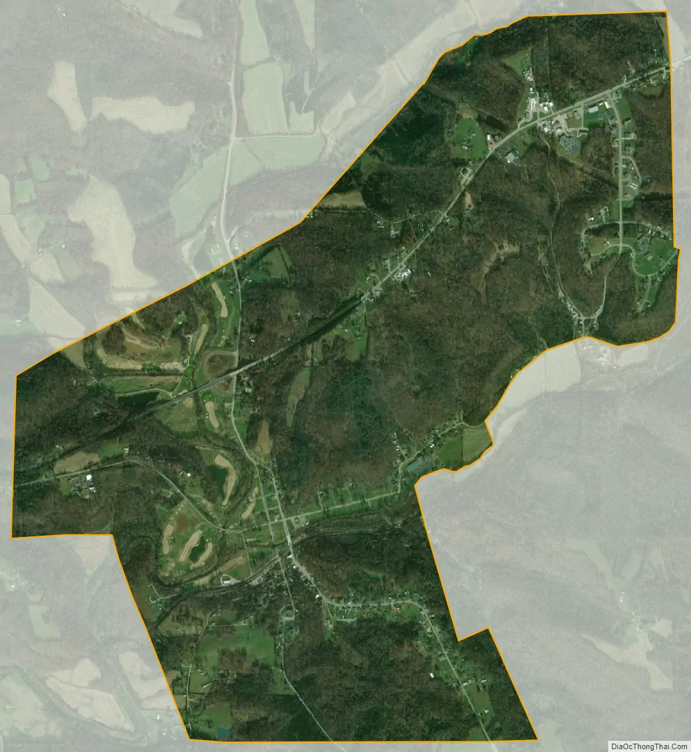
The first community was located at the confluence of two small rivers (Bird Dog Creek and Brownville Creek) with Blue River. It was a thriving community during the first half of the 20th century, with population rising to above 800 by 1950, but economic activity slowed thereafter (partly due to recurring flooding), and commercial establishments closed. Most residents now live on the higher ground surrounding the original settlement. A large swath of the previous inhabited level area has been converted into the Lucas Oil Golf Course.
From 1959 to 1990, English suffered six floods. The town council decided that the only solution to the flooding problem was to move the town. 160 acres (0.65 km) of high ground were purchased, a partnership was formed with Lincoln Hills Development Corporation, and a major portion of the town was relocated.
English Road Map
English city Satellite Map
Geography
English is located at 38°20′8″N 86°27′38″W / 38.33556°N 86.46056°W / 38.33556; -86.46056 (38.335626, -86.460564).
According to the 2010 United States Census, English has a total area of 3.04 square miles (7.87 km), all land.
Climate
The climate in this area is characterized by highly variable fluctuations in weather with hot, humid summers and frigidly cold, generally wet winters. According to the Köppen Climate Classification system, English previously had a humid continental climate, but as of the 2016 update it now has a humid subtropical climate due to climate change. As Southern Indiana is in a transitional zone between these two areas, localized climate does not firmly adhere to either classification.
See also
Map of Indiana State and its subdivision:- Adams
- Allen
- Bartholomew
- Benton
- Blackford
- Boone
- Brown
- Carroll
- Cass
- Clark
- Clay
- Clinton
- Crawford
- Daviess
- De Kalb
- Dearborn
- Decatur
- Delaware
- Dubois
- Elkhart
- Fayette
- Floyd
- Fountain
- Franklin
- Fulton
- Gibson
- Grant
- Greene
- Hamilton
- Hancock
- Harrison
- Hendricks
- Henry
- Howard
- Huntington
- Jackson
- Jasper
- Jay
- Jefferson
- Jennings
- Johnson
- Knox
- Kosciusko
- LaGrange
- Lake
- Lake Michigan
- LaPorte
- Lawrence
- Madison
- Marion
- Marshall
- Martin
- Miami
- Monroe
- Montgomery
- Morgan
- Newton
- Noble
- Ohio
- Orange
- Owen
- Parke
- Perry
- Pike
- Porter
- Posey
- Pulaski
- Putnam
- Randolph
- Ripley
- Rush
- Saint Joseph
- Scott
- Shelby
- Spencer
- Starke
- Steuben
- Sullivan
- Switzerland
- Tippecanoe
- Tipton
- Union
- Vanderburgh
- Vermillion
- Vigo
- Wabash
- Warren
- Warrick
- Washington
- Wayne
- Wells
- White
- Whitley
- Alabama
- Alaska
- Arizona
- Arkansas
- California
- Colorado
- Connecticut
- Delaware
- District of Columbia
- Florida
- Georgia
- Hawaii
- Idaho
- Illinois
- Indiana
- Iowa
- Kansas
- Kentucky
- Louisiana
- Maine
- Maryland
- Massachusetts
- Michigan
- Minnesota
- Mississippi
- Missouri
- Montana
- Nebraska
- Nevada
- New Hampshire
- New Jersey
- New Mexico
- New York
- North Carolina
- North Dakota
- Ohio
- Oklahoma
- Oregon
- Pennsylvania
- Rhode Island
- South Carolina
- South Dakota
- Tennessee
- Texas
- Utah
- Vermont
- Virginia
- Washington
- West Virginia
- Wisconsin
- Wyoming