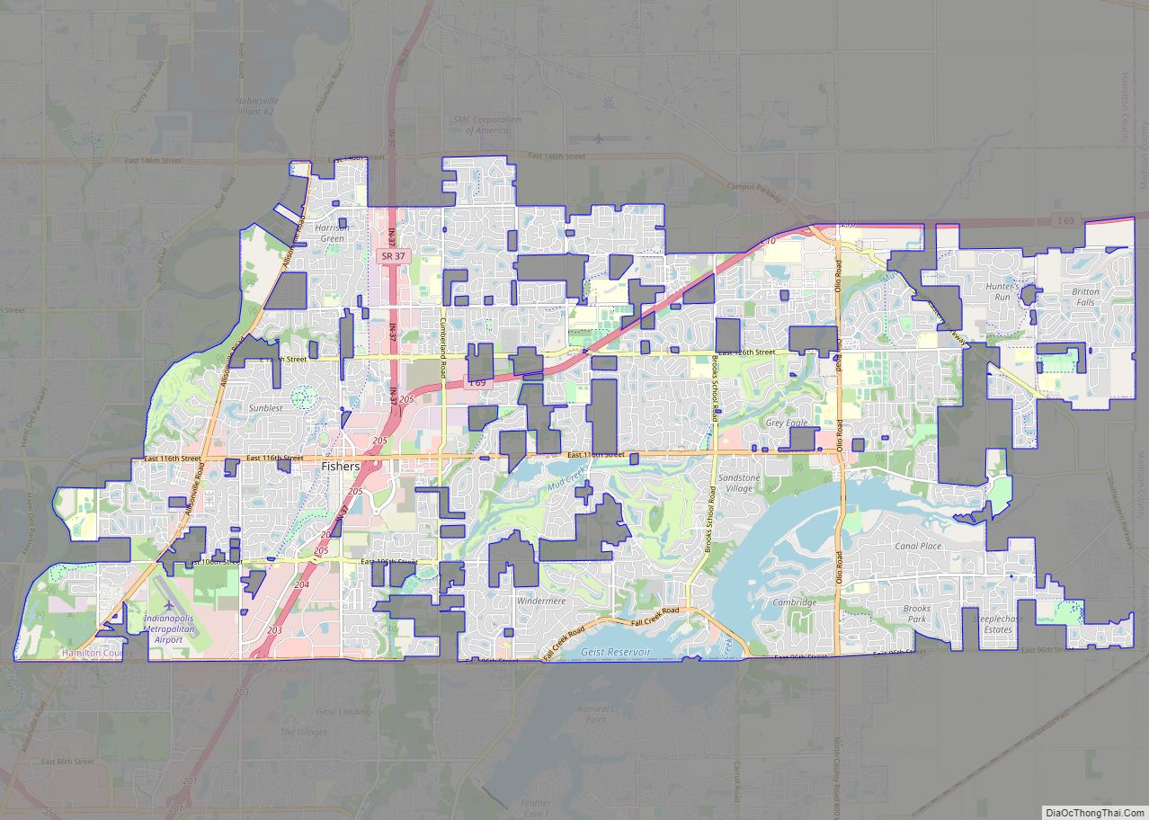
Fishers is a city in Fall Creek and Delaware townships, Hamilton County, Indiana, United States. As of the 2010 census the population was 76,794, and by 2019 the estimated population was 95,310. A suburb of Indianapolis, Fishers has grown rapidly in recent decades: about 350 people lived there in 1963, 2,000 in 1980, and only 7,500 as recently as 1990.
After the passage of a referendum on its status in 2012, Fishers transitioned from a town to a city on January 1, 2015. The first mayor of Fishers, Scott Fadness, and with the city’s first clerk and city council were sworn in on December 21, 2014.
| Name: | Fishers city |
|---|---|
| LSAD Code: | 25 |
| LSAD Description: | city (suffix) |
| State: | Indiana |
| County: | Hamilton County |
| Elevation: | 817 ft (249 m) |
| Total Area: | 38.15 sq mi (98.82 km²) |
| Land Area: | 35.92 sq mi (93.02 km²) |
| Water Area: | 2.24 sq mi (5.79 km²) |
| Total Population: | 98,977 |
| Population Density: | 2,755.71/sq mi (1,064.00/km²) |
| ZIP code: | 46038, 46037, 46040 |
| Area code: | 317 |
| FIPS code: | 1823278 |
| GNISfeature ID: | 0434526 |
| Website: | www.fishers.in.us |
Online Interactive Map
Click on ![]() to view map in "full screen" mode.
to view map in "full screen" mode.
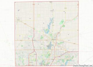
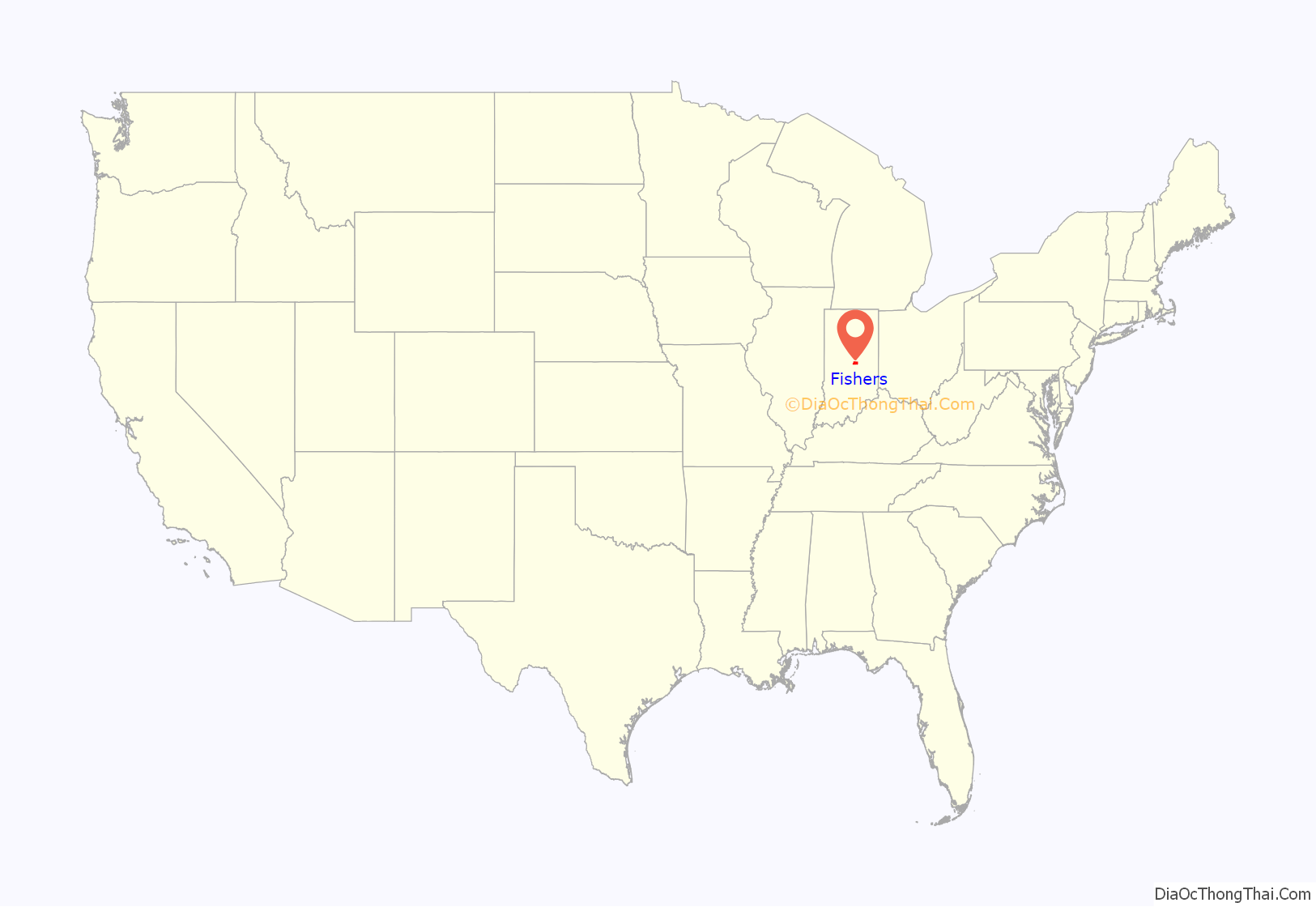
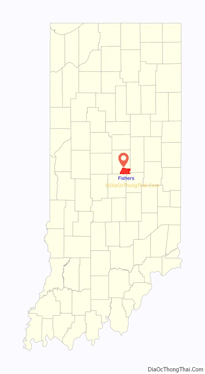
Fishers location map. Where is Fishers city?
History
19th century
In 1802, William Conner settled what is now Fishers. Conner built a log cabin and a trading post along the White River. The land that Conner settled is now known as Conner Prairie and is preserved as a living history museum.
Settlers started moving to the area after Indiana became a state in 1816 and the Delaware Indians gave up their claims in Indiana and Ohio to the United States government in 1818 in the Treaty of St. Mary’s. At the treaty William Conner served as an interpreter for Chief William Anderson, his father-in-law. At the time William Conner was married to Mekinges Conner, princess and daughter of Chief William Anderson. In 1823, Hamilton County was chartered by the Indiana General Assembly and Delaware Township was established and surveyed. After the state of Indiana moved its capital to Indianapolis from Corydon in 1825, the community started to grow. After the move, John Finch established a horse-powered grinding mill, a blacksmith shop, and the area’s first school. The next year the area’s first water mill was constructed.
During 1826 the West-Harris House, later nicknamed Ambassador House, was built near the White River at present-day 96th Street and Allisonville Road in Fishers. The home was moved to its present-day site at 106th Street and Eller Road in 1996. Addison C. Harris (1840–1916), a prominent Indianapolis lawyer and former member of the Indiana Senate (1876 to 1880), acquired the property in 1880 and had the home remodeled and enlarged around 1895. Harris and wife, India Crago Harris (1848–1948), used the home as a summer residence. Its nickname of Ambassador House relates to Addison Harris’s diplomatic service (1899 to 1901) as U.S. Envoy Extraordinary and Minister Plenipotentiary to Austria-Hungary during President William McKinley’s administration. The restored Ambassador House is located on the grounds of Heritage Park at White River in Fishers and is operated as a local history museum and a site for community events and private rentals.
In 1849, construction began on the Peru & Indianapolis Railroad, extending from Indianapolis to Chicago. The railroad brought several people to the area then known as “Fisher’s Switch”. In 1872, Fisher’s Switch, also known as “Fishers Station”, was platted by Salathial Fisher at the present-day intersection of 116th Street and the railroad. Indiana’s General Assembly incorporated Fisher’s Station in 1891.
The William Conner House and West-Harris House are listed on the National Register of Historic Places.
20th century
In 1908, the post office changed the name of Fishers Switch to “Fishers” by dropping “Switch.”
After William Conner’s death in 1855, his family farm became a place of interest. The Hamilton County Historical Society placed a marker on the site of the William Conner farm in 1927. Eli Lilly, then head of Eli Lilly and Company, purchased William Conner’s farm in 1934 and began restoring it. In 1964, Lilly asked Earlham College to oversee the Conner farm, now known as Conner Prairie.
In 1943, the Indianapolis Water Company constructed Geist Reservoir in order to prevent a deficit in Indianapolis’s water supply. They believed that Fall Creek and the White River would not keep up with the demand for water in Indianapolis. In the 1970s, the company wanted to triple the size of the lake, but the plan was rejected in 1978 and homes began to spring up around the reservoir.
The Fishers population grew slowly to 344 by the 1960 census when rail shipment declined. Per township referendums in 1961, the town provided planning services for Delaware and Fall Creek Townships and approved residential zoning for most of the undeveloped area in the two townships.
The relocation of State Road 37 to the east side of town and the connection with Interstate 69 ensured the future growth of Fishers as a commercial and residential center. The town of Fishers would soon become a fast-growing suburb of Indianapolis. Fall Creek Township became the site of a consolidation of area schools when Hamilton Southeastern High School was formed in the 1960s. In 1989 the town’s population reached 7,000 and the first Freedom Festival was held. The festival has been held every year since then.
The Thomas A. Weaver Municipal Complex opened as Fishers’ civic and government center in 1992. The complex is home to the Fishers City Hall, the police and fire department headquarters buildings, the Fishers Post Office, the Hamilton County Convention and Visitor’s Bureau, and the Fishers Chamber of Commerce. Eventually, a library and an office of the Indiana Bureau of Motor Vehicles were added. This is still the center of government in Fishers.
21st century
The 2000 census reported the population of Fishers at almost 38,000. With the town’s affordable homes, growing economy, and proximity to Indianapolis and Interstate 69, the growth in Fishers was tremendous. In 2003 the town of Fishers requested a special census from the U.S. Census Bureau to accurately measure the rapid population growth since 2000. This census would put the town’s population at 52,390, a 38 percent increase from the 2000 census. Since then much of the government’s resources have been devoted to building parks, maintaining roads, and managing the rapid growth of the town.
In 2005, after a controversy over alleged mismanagement, Conner Prairie formally split from Earlham College, becoming an independent corporation.
In January 2009, the Geist United Opposition conceded a four-year legal battle with Fishers over the involuntary annexation of the contiguous, unincorporated area around Geist Reservoir. This allowed Fishers to annex and incorporate this area of 2,200 homes on January 2, 2010, and to begin taxing it in 2011. This increased Fishers’ population by about 5,500, making the town the eighth-largest community in Indiana.
In 2012, Fishers constructed a multipurpose trail in the downtown district and an amphitheater in the Thomas A. Weaver Municipal Complex. That November, the town announced the details of a major development project in the heart of downtown. The $33 million pedestrian-oriented, mixed-use development on the north side of 116th Street, just west of Municipal Drive, broke ground in mid-2013 and was scheduled to be completed in 2015.
In 1998, a referendum to change Fishers from a town to a city was rejected by 75% of the town’s voters.
In 2008, a group named CityYes began collecting petition signatures for a voter referendum on the question of whether or not to become a city. The town appointed a 44-member citizen study committee to review the benefits and drawbacks of a change of government type.
In December 2010, the Fishers Town Council approved two referendum questions: whether or not to become a traditional city with an elected mayor and traditional city council or a modified city with a mayor elected by and from the expanded nine-member city council. The latter would have also merged the governments of Fishers and Fall Creek Township. In the referendum held November 6, 2012, voters rejected the merger with Fall Creek Township to become a modified city with an appointed mayor 62% to 37%, while approving a change to a traditional “second-class city”, with an elected mayor 55% to 44%.
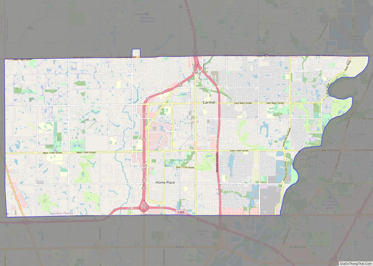
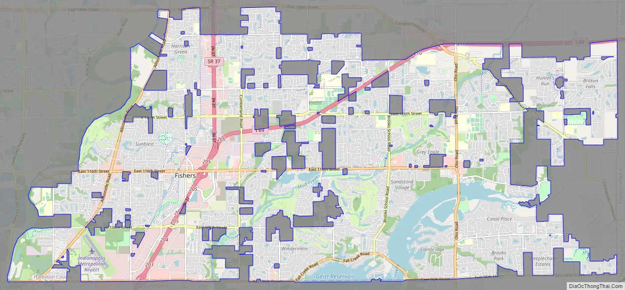
Fishers Road Map
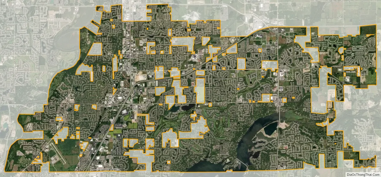
Fishers city Satellite Map
Geography
Location
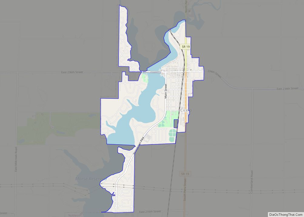
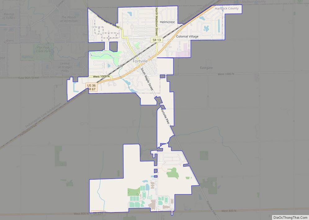
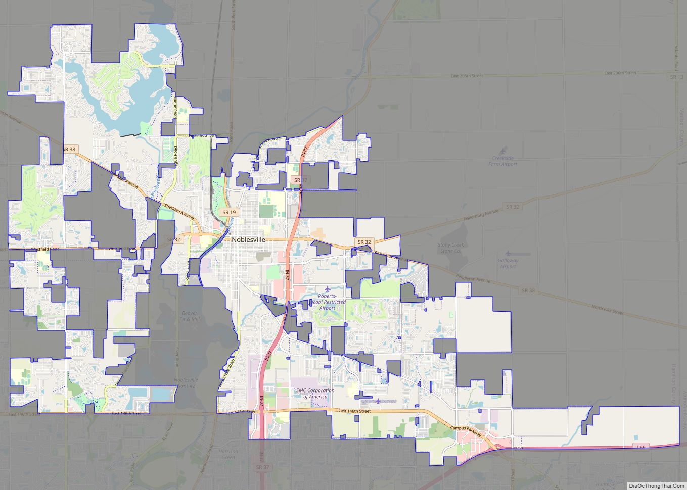
Fishers is located in the southeast corner of Hamilton County at 39°57’22” North, 86°0’46” West (39.956177, −86.012754), along the West Fork of the White River. It is bordered to the west by Carmel, to the north by Noblesville, to the east by the town of Ingalls and unincorporated land in Madison County, to the southeast by Fortville, McCordsville and unincorporated land in Hancock County, and to the south by the city of Indianapolis in Marion County. The center of Fishers is 16 miles (26 km) northeast of downtown Indianapolis.
According to the 2010 census, Fishers has a total area of 35.839 square miles (92.82 km), of which 33.59 square miles (87.00 km) (or 93.72%) is land and 2.249 square miles (5.82 km) (or 6.28%) is water.
Climate
Fishers has a humid continental climate (Köppen climate classification). Summers in Fishers are hot and humid with temperatures regularly in the 85 °F range. Autumns and springs in Fishers have very comfortable temperatures normally around 70 °F, but springs have much less predictable weather and drastic temperature changes are common. Winters are cold and filled with snow and ice storms. During winter, temperatures are normally around 35 °F and often dip below 20 °F at night.
See also
Map of Indiana State and its subdivision:- Adams
- Allen
- Bartholomew
- Benton
- Blackford
- Boone
- Brown
- Carroll
- Cass
- Clark
- Clay
- Clinton
- Crawford
- Daviess
- De Kalb
- Dearborn
- Decatur
- Delaware
- Dubois
- Elkhart
- Fayette
- Floyd
- Fountain
- Franklin
- Fulton
- Gibson
- Grant
- Greene
- Hamilton
- Hancock
- Harrison
- Hendricks
- Henry
- Howard
- Huntington
- Jackson
- Jasper
- Jay
- Jefferson
- Jennings
- Johnson
- Knox
- Kosciusko
- LaGrange
- Lake
- Lake Michigan
- LaPorte
- Lawrence
- Madison
- Marion
- Marshall
- Martin
- Miami
- Monroe
- Montgomery
- Morgan
- Newton
- Noble
- Ohio
- Orange
- Owen
- Parke
- Perry
- Pike
- Porter
- Posey
- Pulaski
- Putnam
- Randolph
- Ripley
- Rush
- Saint Joseph
- Scott
- Shelby
- Spencer
- Starke
- Steuben
- Sullivan
- Switzerland
- Tippecanoe
- Tipton
- Union
- Vanderburgh
- Vermillion
- Vigo
- Wabash
- Warren
- Warrick
- Washington
- Wayne
- Wells
- White
- Whitley
- Alabama
- Alaska
- Arizona
- Arkansas
- California
- Colorado
- Connecticut
- Delaware
- District of Columbia
- Florida
- Georgia
- Hawaii
- Idaho
- Illinois
- Indiana
- Iowa
- Kansas
- Kentucky
- Louisiana
- Maine
- Maryland
- Massachusetts
- Michigan
- Minnesota
- Mississippi
- Missouri
- Montana
- Nebraska
- Nevada
- New Hampshire
- New Jersey
- New Mexico
- New York
- North Carolina
- North Dakota
- Ohio
- Oklahoma
- Oregon
- Pennsylvania
- Rhode Island
- South Carolina
- South Dakota
- Tennessee
- Texas
- Utah
- Vermont
- Virginia
- Washington
- West Virginia
- Wisconsin
- Wyoming