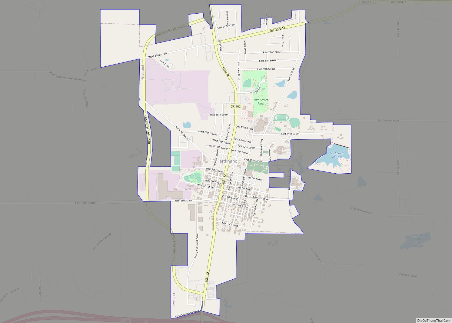
Ferdinand is a town in Ferdinand Township, Dubois County, in the U.S. state of Indiana. The population was 2,157 at the 2010 census.
Ferdinand is part of the Jasper Micropolitan Statistical Area.
| Name: | Ferdinand town |
|---|---|
| LSAD Code: | 43 |
| LSAD Description: | town (suffix) |
| State: | Indiana |
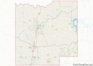
| County: | Dubois County |
| Elevation: | 535 ft (163 m) |
| Total Area: | 2.33 sq mi (6.04 km²) |
| Land Area: | 2.30 sq mi (5.95 km²) |
| Water Area: | 0.04 sq mi (0.10 km²) |
| Total Population: | 2,157 |
| Population Density: | 939.05/sq mi (362.64/km²) |
| ZIP code: | 47532 |
| Area code: | 812 |
| FIPS code: | 1822990 |
| GNISfeature ID: | 2396936 |
| Website: | http://www.ferdinandindiana.org |
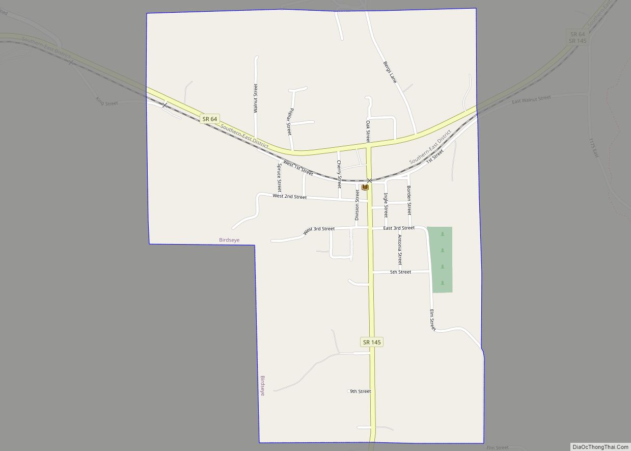
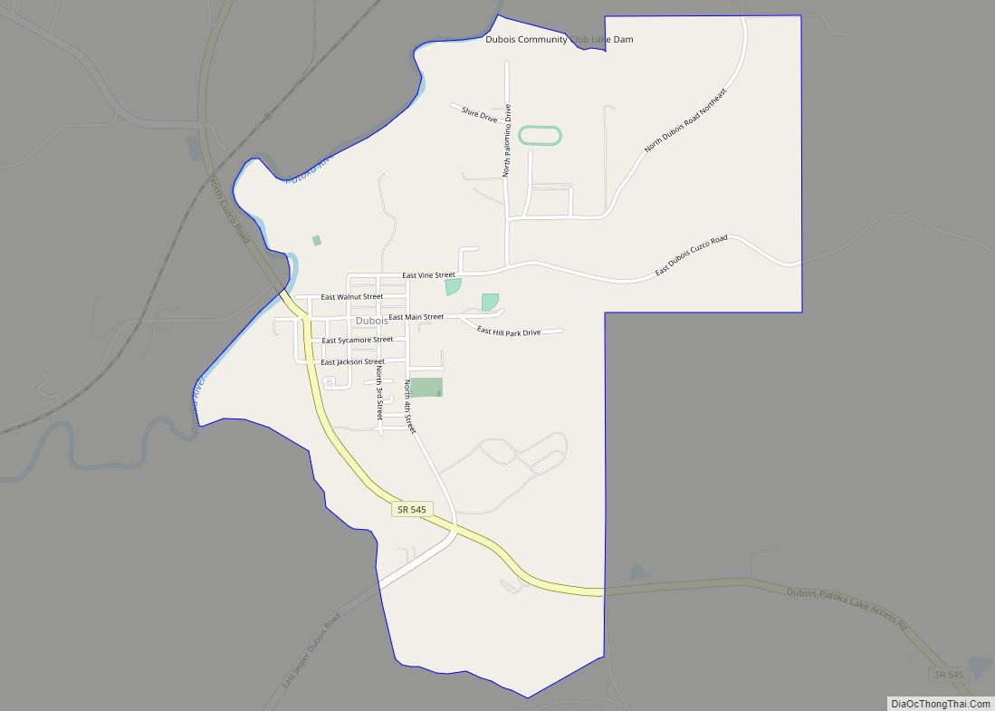
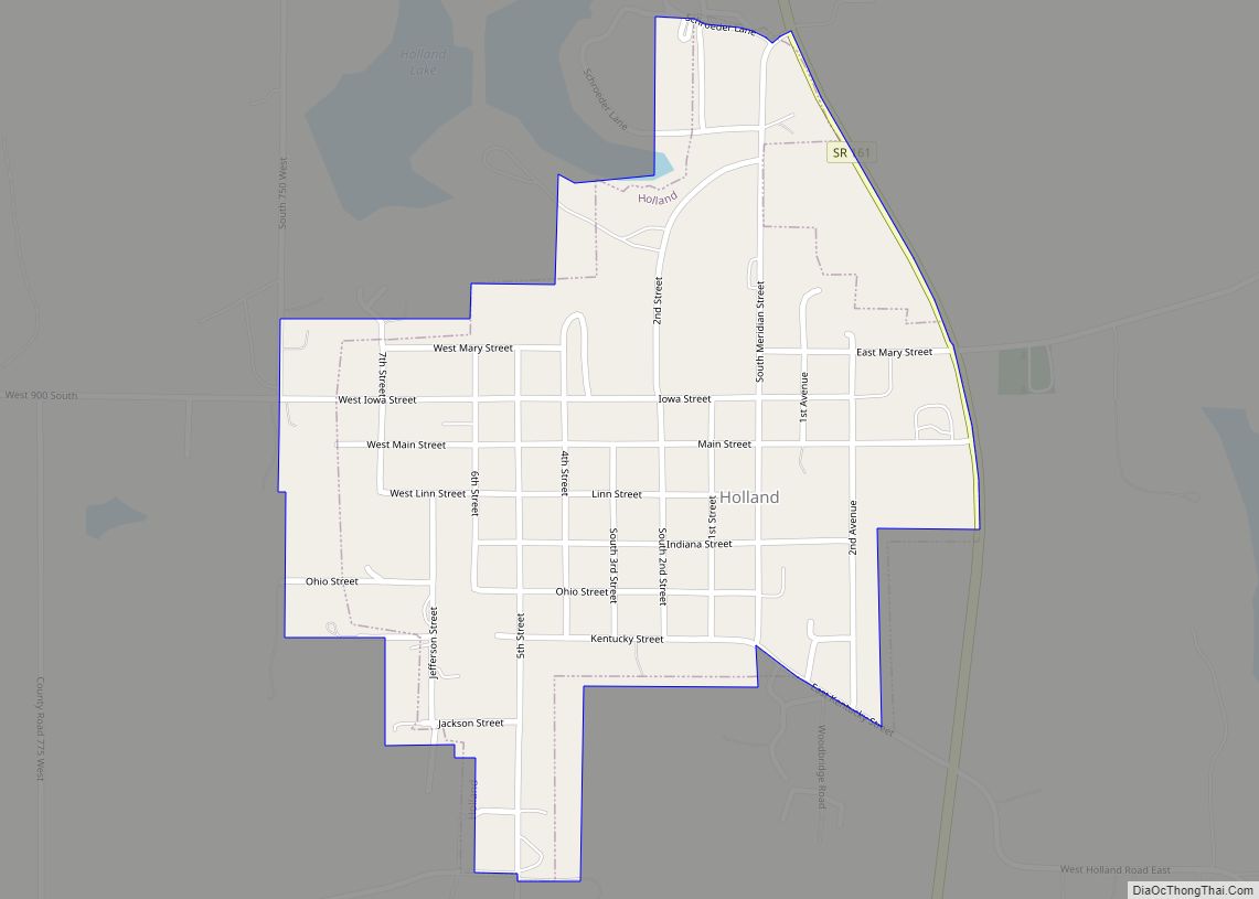
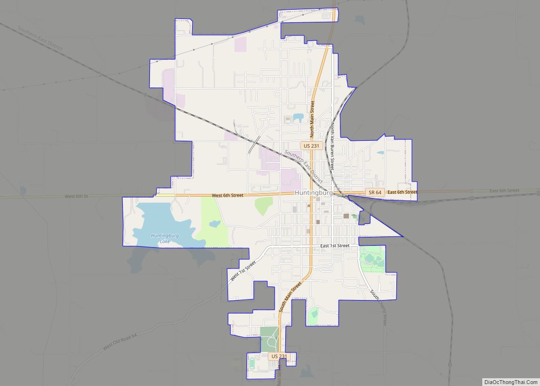
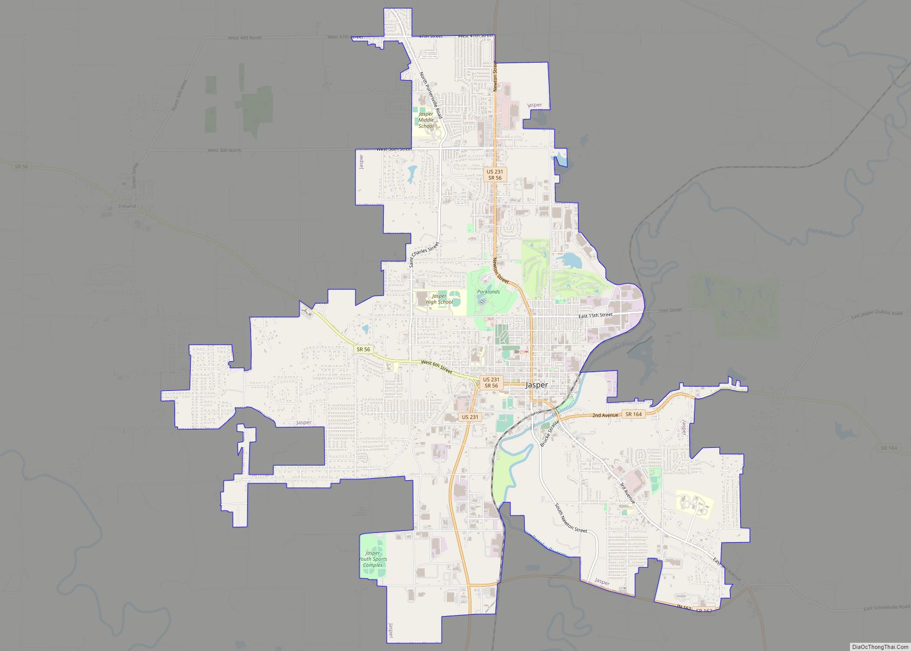
Online Interactive Map
Click on ![]() to view map in "full screen" mode.
to view map in "full screen" mode.
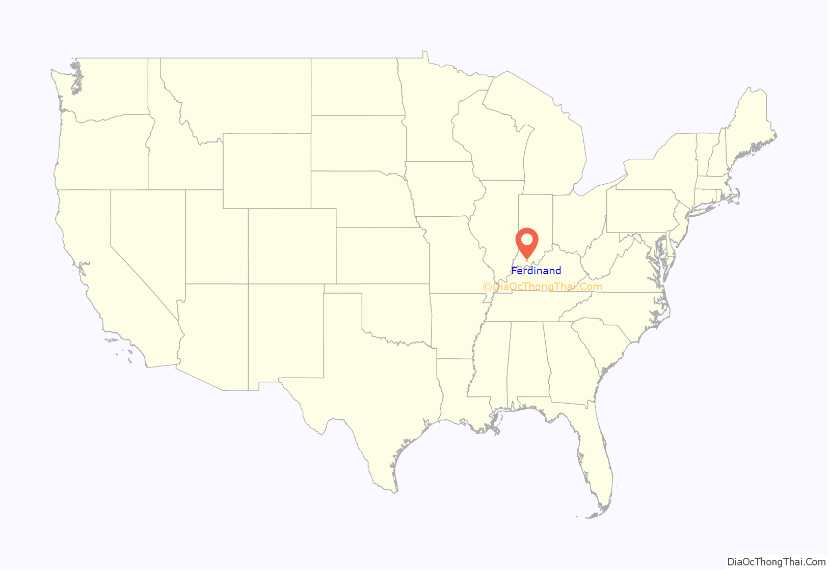
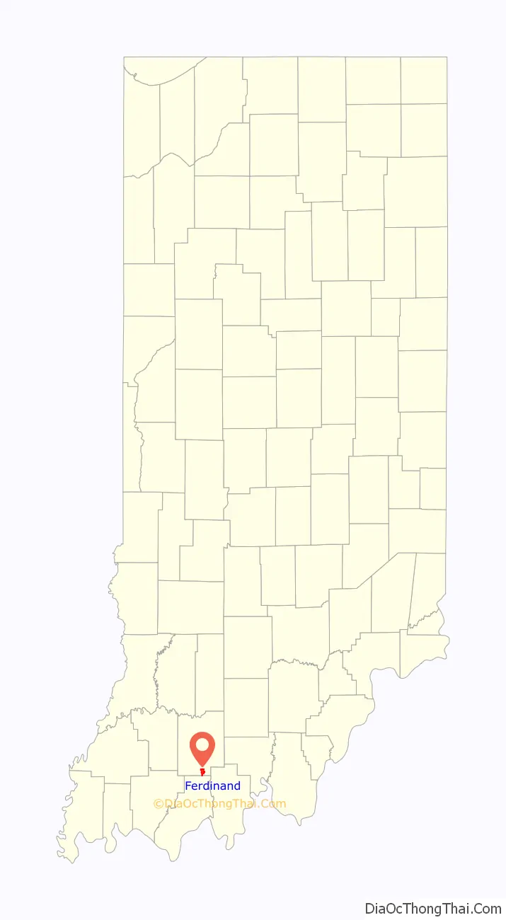
Ferdinand location map. Where is Ferdinand town?
History
Ferdinand was founded in 1840 by Fr. Joseph Kundek, OSB and was named after the Emperor Ferdinand I of Austria. The town was settled by mostly German-speaking people from central Europe. At one time Ferdinand was known as the wooden shoe village. At the end of the 19th century, Ferdinand contained many businesses, including a machine works, a brick works, brewery, several taverns, and a dairy.
The Ferdinand post office has been in operation since 1850.
In 1867, the Monastery of Immaculate Conception was founded in Ferdinand.
Ferdinand was incorporated as a town in 1905.
In 1906, the Ferdinand News was established as the local newspaper.
Just prior to World War II the Civilian Conservation Corps created the Ferdinand State Forest.
The Monastery Immaculate Conception and Dr. Alois Wollenmann House are listed on the National Register of Historic Places.
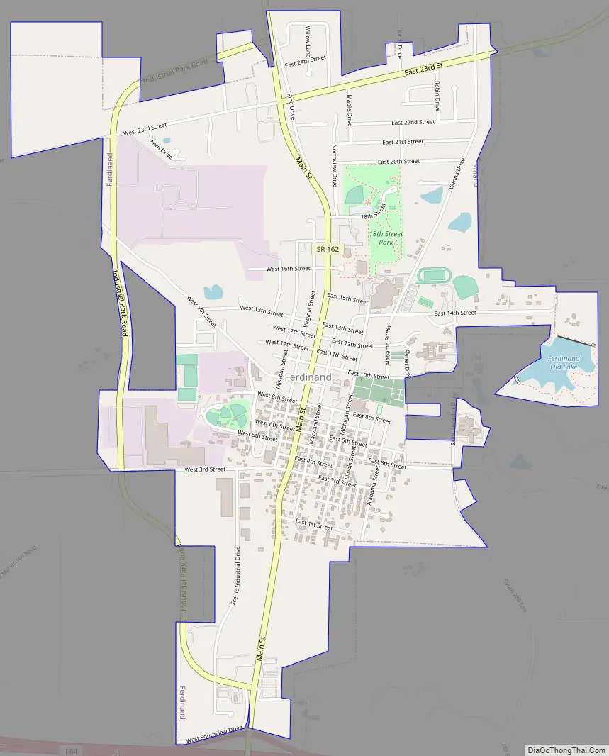
Ferdinand Road Map
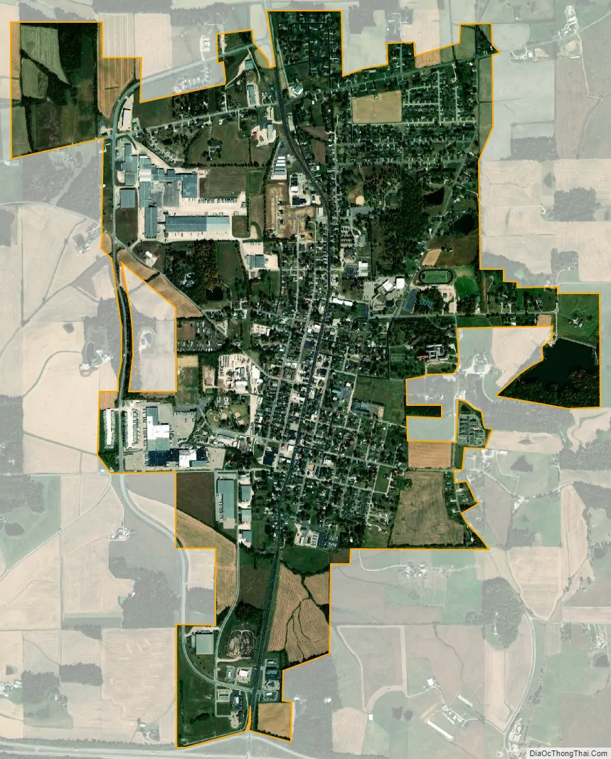
Ferdinand city Satellite Map
Geography
Ferdinand is located at 38°13′31″N 86°51′40″W / 38.22528°N 86.86111°W / 38.22528; -86.86111 (38.225392, -86.860996).
According to the 2010 census, Ferdinand has a total area of 2.31 square miles (5.98 km), of which 2.27 square miles (5.88 km) (or 98.27%) is land and 0.04 square miles (0.10 km) (or 1.73%) is water.
See also
Map of Indiana State and its subdivision:- Adams
- Allen
- Bartholomew
- Benton
- Blackford
- Boone
- Brown
- Carroll
- Cass
- Clark
- Clay
- Clinton
- Crawford
- Daviess
- De Kalb
- Dearborn
- Decatur
- Delaware
- Dubois
- Elkhart
- Fayette
- Floyd
- Fountain
- Franklin
- Fulton
- Gibson
- Grant
- Greene
- Hamilton
- Hancock
- Harrison
- Hendricks
- Henry
- Howard
- Huntington
- Jackson
- Jasper
- Jay
- Jefferson
- Jennings
- Johnson
- Knox
- Kosciusko
- LaGrange
- Lake
- Lake Michigan
- LaPorte
- Lawrence
- Madison
- Marion
- Marshall
- Martin
- Miami
- Monroe
- Montgomery
- Morgan
- Newton
- Noble
- Ohio
- Orange
- Owen
- Parke
- Perry
- Pike
- Porter
- Posey
- Pulaski
- Putnam
- Randolph
- Ripley
- Rush
- Saint Joseph
- Scott
- Shelby
- Spencer
- Starke
- Steuben
- Sullivan
- Switzerland
- Tippecanoe
- Tipton
- Union
- Vanderburgh
- Vermillion
- Vigo
- Wabash
- Warren
- Warrick
- Washington
- Wayne
- Wells
- White
- Whitley
- Alabama
- Alaska
- Arizona
- Arkansas
- California
- Colorado
- Connecticut
- Delaware
- District of Columbia
- Florida
- Georgia
- Hawaii
- Idaho
- Illinois
- Indiana
- Iowa
- Kansas
- Kentucky
- Louisiana
- Maine
- Maryland
- Massachusetts
- Michigan
- Minnesota
- Mississippi
- Missouri
- Montana
- Nebraska
- Nevada
- New Hampshire
- New Jersey
- New Mexico
- New York
- North Carolina
- North Dakota
- Ohio
- Oklahoma
- Oregon
- Pennsylvania
- Rhode Island
- South Carolina
- South Dakota
- Tennessee
- Texas
- Utah
- Vermont
- Virginia
- Washington
- West Virginia
- Wisconsin
- Wyoming