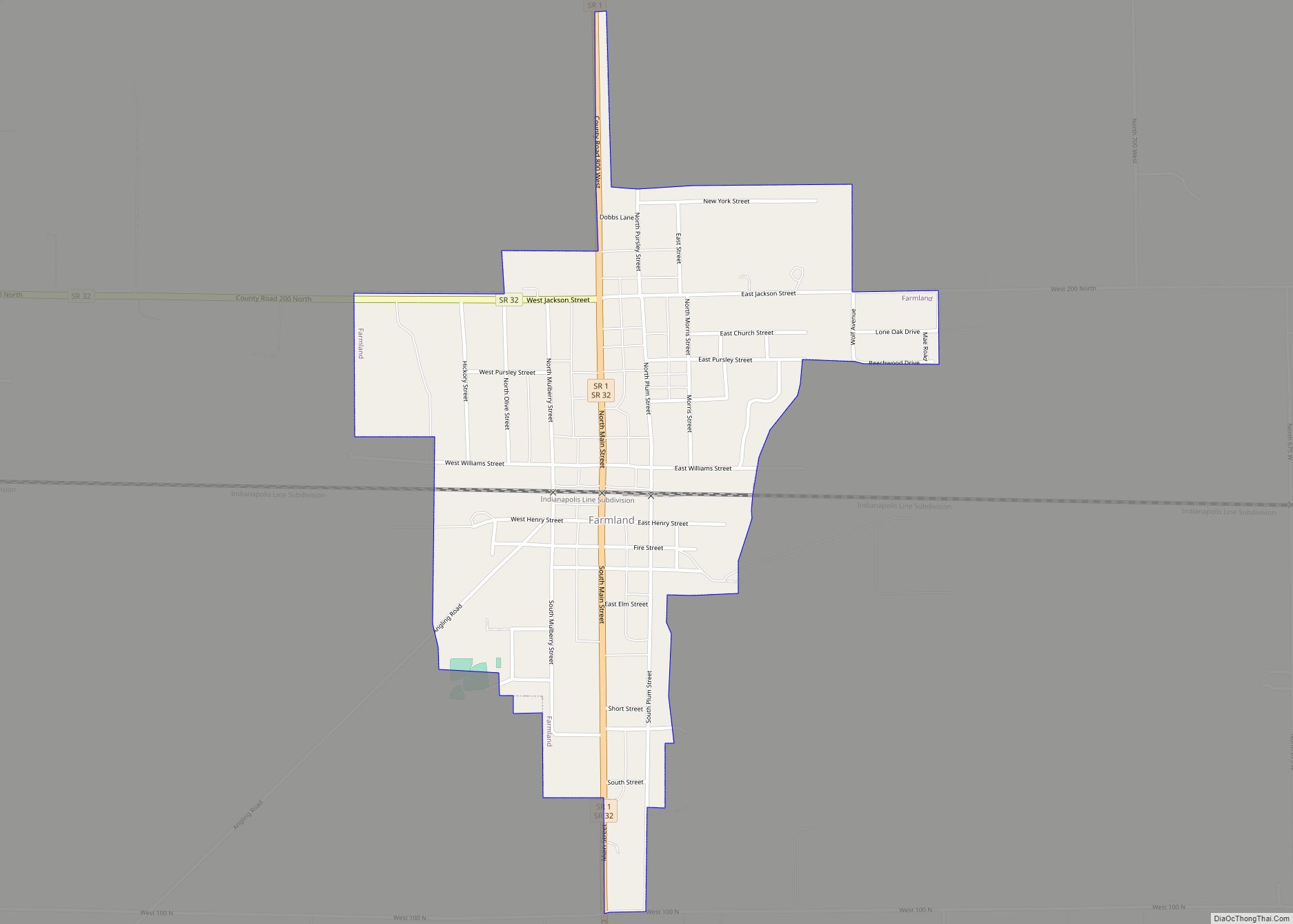
Farmland is a town in Monroe Township, Randolph County, in the U.S. state of Indiana. The population was 1,333 at the 2010 census.
| Name: | Farmland town |
|---|---|
| LSAD Code: | 43 |
| LSAD Description: | town (suffix) |
| State: | Indiana |
| County: | Randolph County |
| Elevation: | 1,040 ft (317 m) |
| Total Area: | 0.53 sq mi (1.38 km²) |
| Land Area: | 0.53 sq mi (1.38 km²) |
| Water Area: | 0.00 sq mi (0.00 km²) |
| Total Population: | 1,270 |
| Population Density: | 2,391.71/sq mi (923.60/km²) |
| ZIP code: | 47340 |
| Area code: | 765 |
| FIPS code: | 1822792 |
| GNISfeature ID: | 434409 |
| Website: | http://www.farmlandindiana.org |
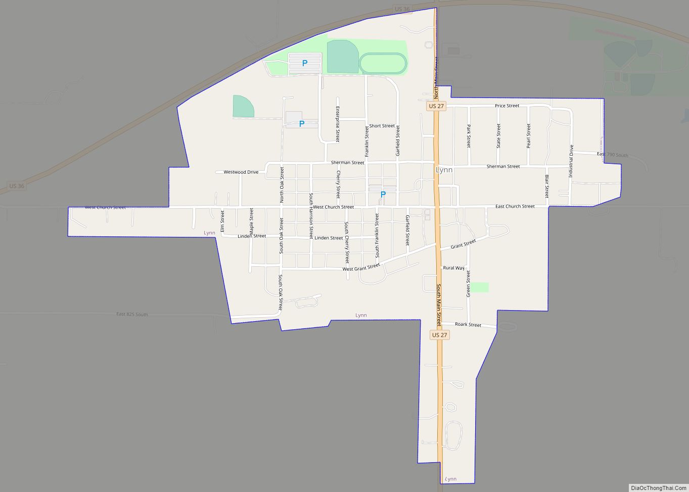
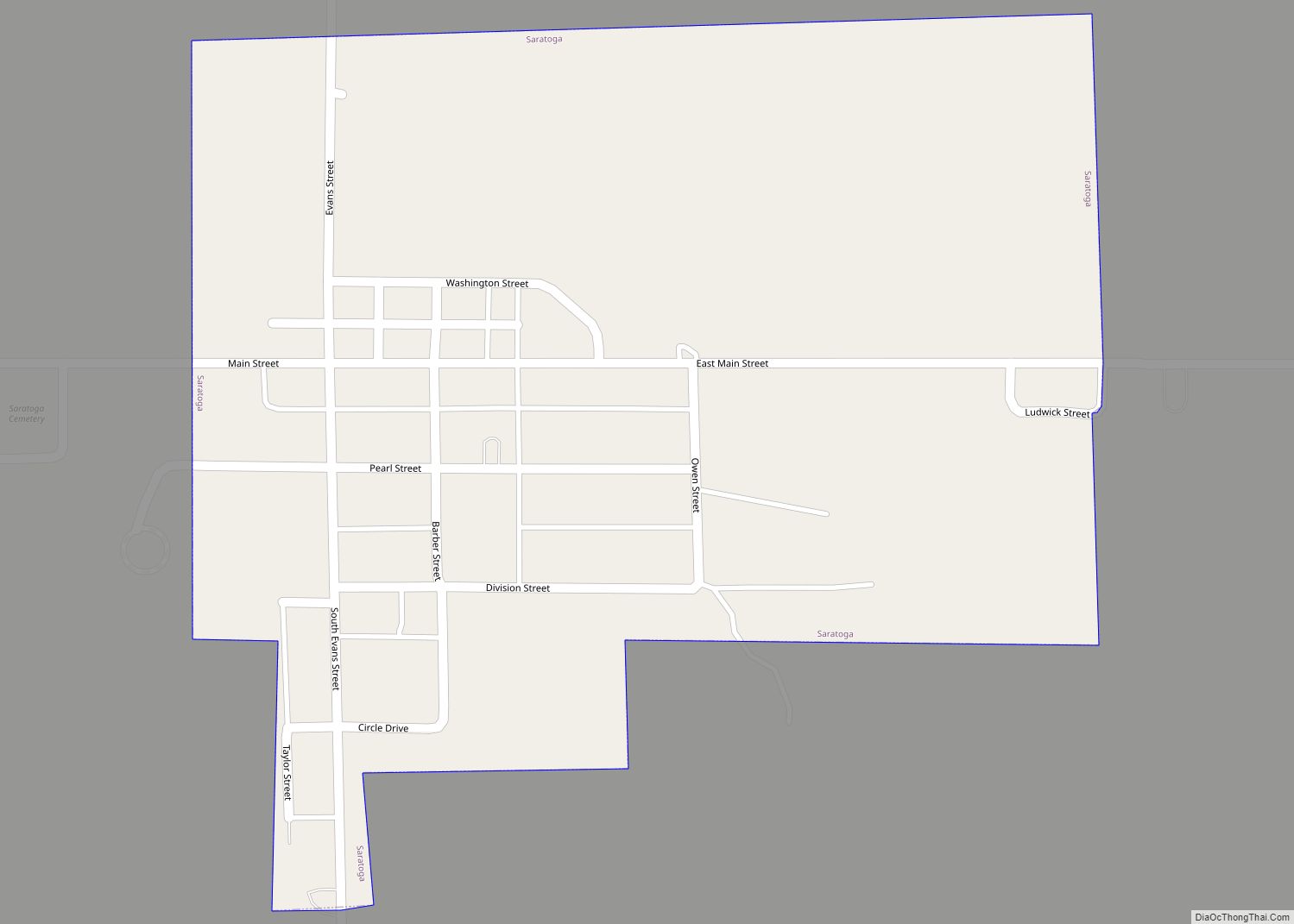
Online Interactive Map
Click on ![]() to view map in "full screen" mode.
to view map in "full screen" mode.
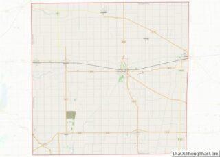
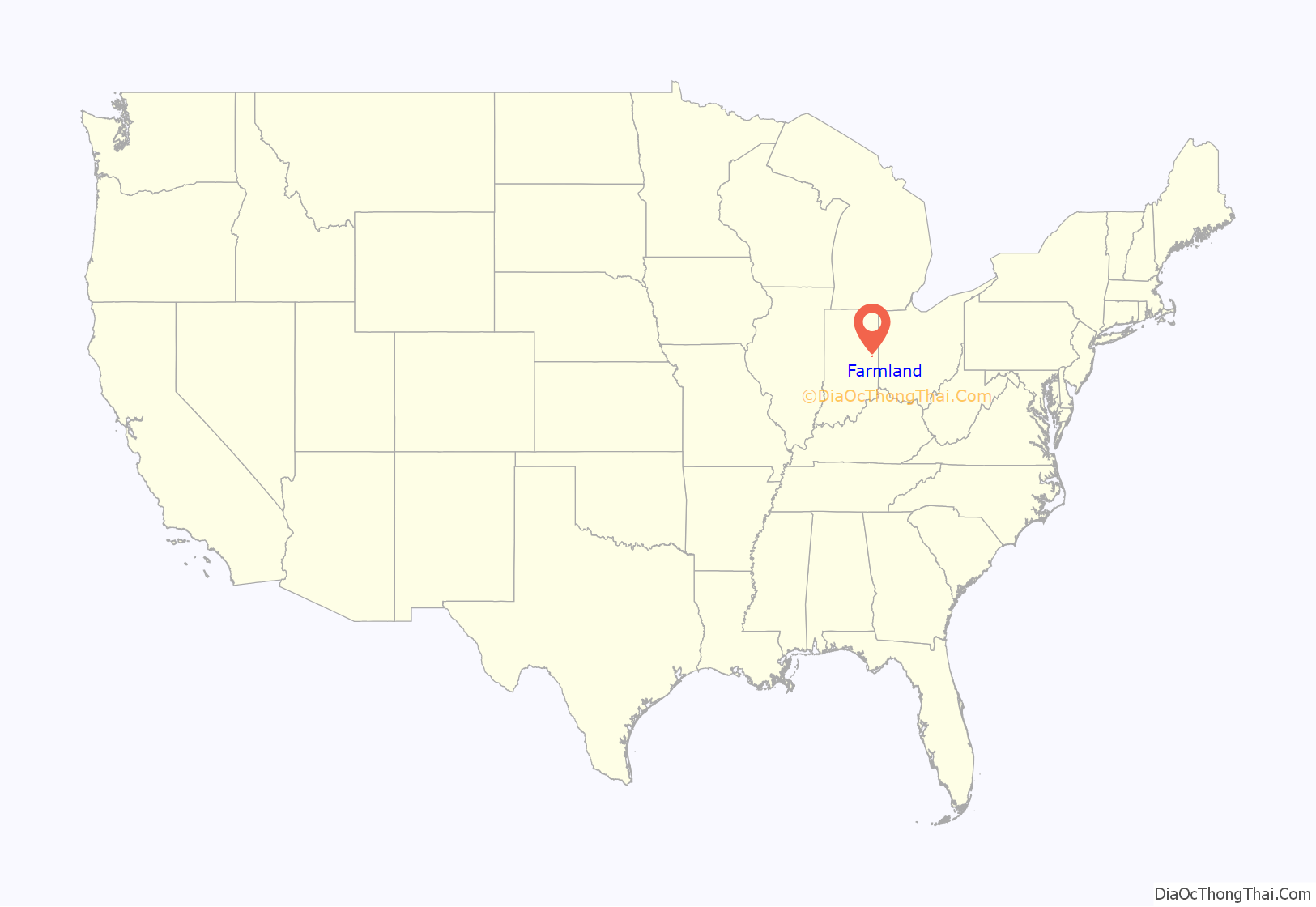
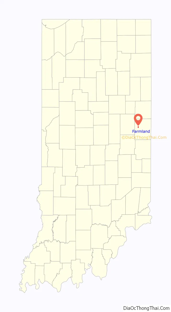
Farmland location map. Where is Farmland town?
History
Farmland was platted in 1852 when the railroad was extended to that point. The town most likely was so named on account of their fertile soil. A post office has been in operation at Farmland since 1853. Farmland was incorporated as a town in 1867.
The Farmland Downtown Historic District was listed on the National Register of Historic Places in 1994.
A sign posted by the state highway department welcomes people to Farmland and notes that it is “The Home of Ansel Toney, The Kite Man”.
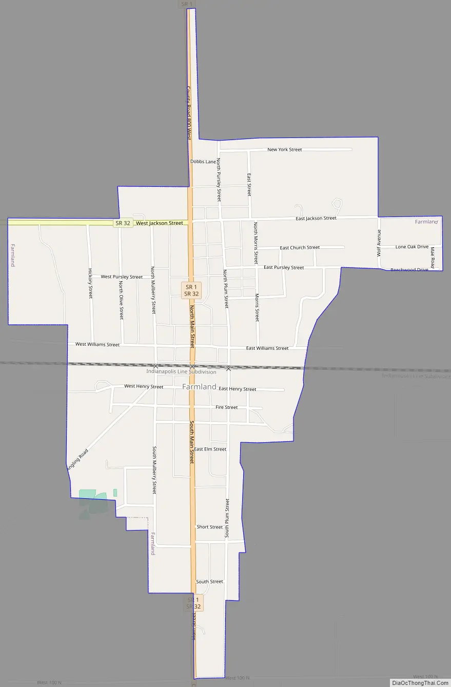
Farmland Road Map
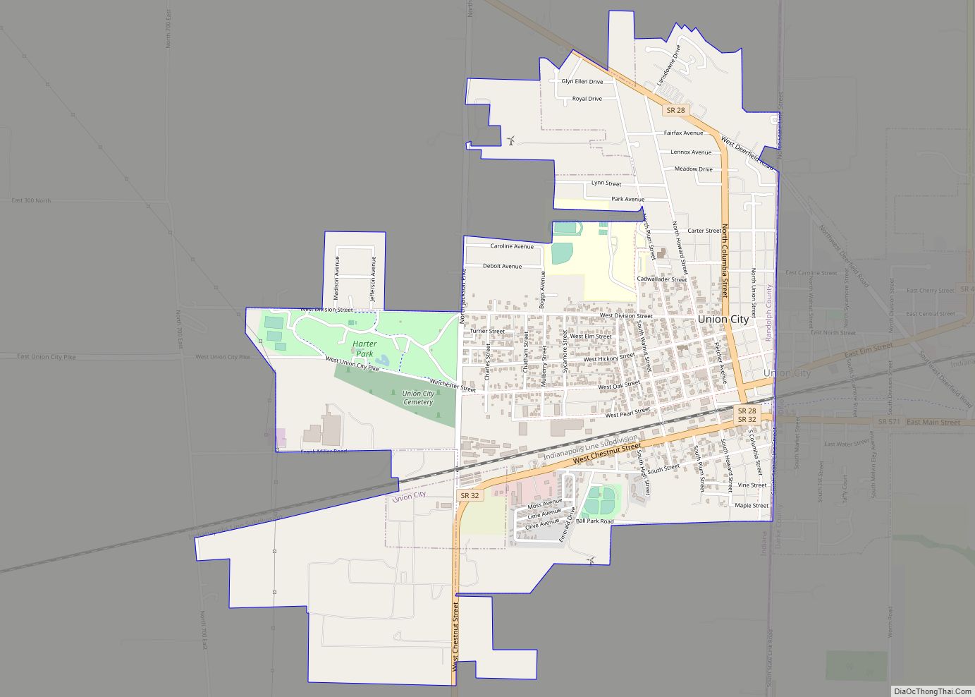
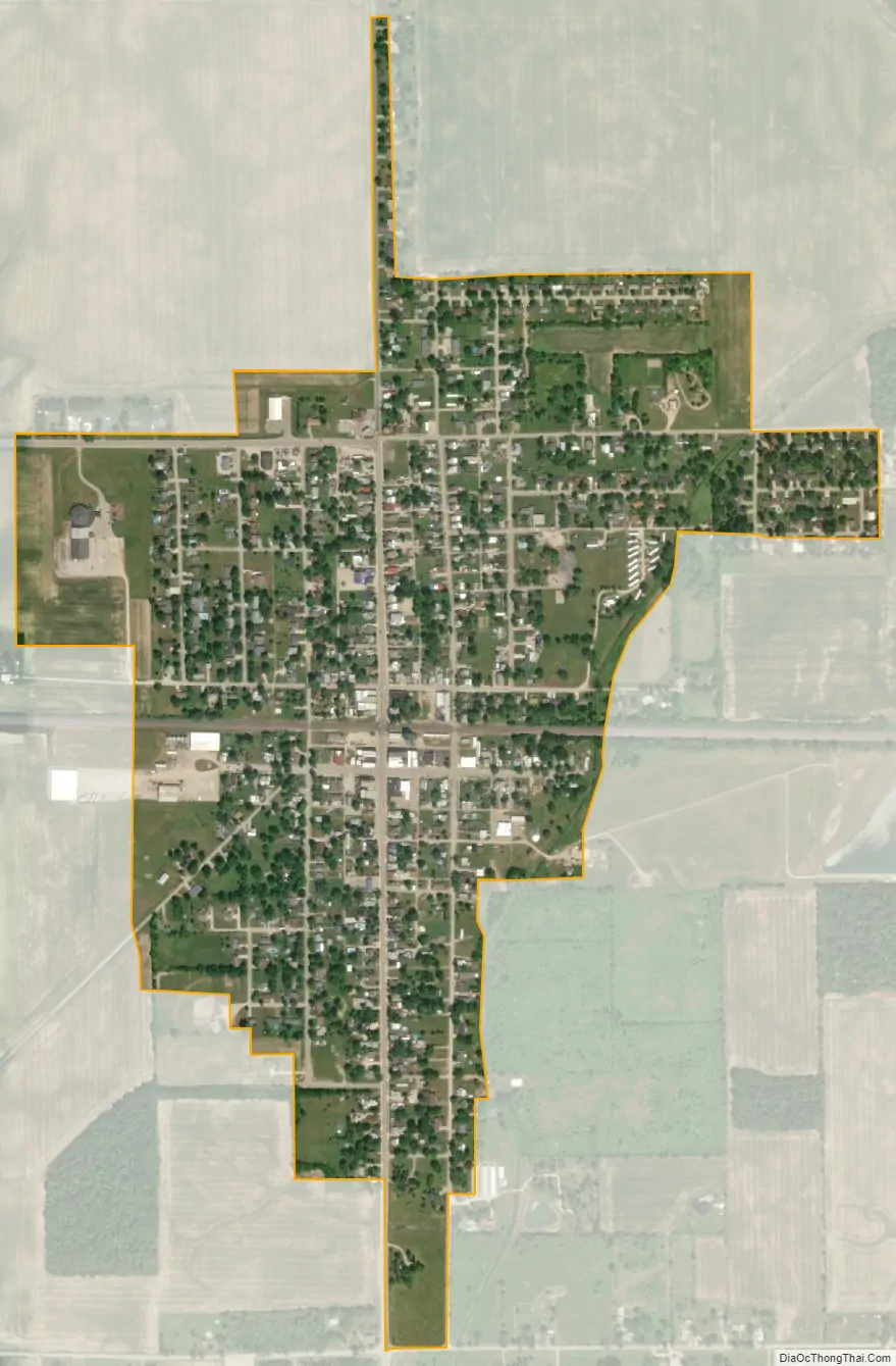
Farmland city Satellite Map
Geography
Farmland is located at 40°11′20″N 85°7′38″W / 40.18889°N 85.12722°W / 40.18889; -85.12722 (40.189000, -85.127102).
According to the 2010 census, Farmland has a total area of 0.53 square miles (1.37 km), all land.
See also
Map of Indiana State and its subdivision:- Adams
- Allen
- Bartholomew
- Benton
- Blackford
- Boone
- Brown
- Carroll
- Cass
- Clark
- Clay
- Clinton
- Crawford
- Daviess
- De Kalb
- Dearborn
- Decatur
- Delaware
- Dubois
- Elkhart
- Fayette
- Floyd
- Fountain
- Franklin
- Fulton
- Gibson
- Grant
- Greene
- Hamilton
- Hancock
- Harrison
- Hendricks
- Henry
- Howard
- Huntington
- Jackson
- Jasper
- Jay
- Jefferson
- Jennings
- Johnson
- Knox
- Kosciusko
- LaGrange
- Lake
- Lake Michigan
- LaPorte
- Lawrence
- Madison
- Marion
- Marshall
- Martin
- Miami
- Monroe
- Montgomery
- Morgan
- Newton
- Noble
- Ohio
- Orange
- Owen
- Parke
- Perry
- Pike
- Porter
- Posey
- Pulaski
- Putnam
- Randolph
- Ripley
- Rush
- Saint Joseph
- Scott
- Shelby
- Spencer
- Starke
- Steuben
- Sullivan
- Switzerland
- Tippecanoe
- Tipton
- Union
- Vanderburgh
- Vermillion
- Vigo
- Wabash
- Warren
- Warrick
- Washington
- Wayne
- Wells
- White
- Whitley
- Alabama
- Alaska
- Arizona
- Arkansas
- California
- Colorado
- Connecticut
- Delaware
- District of Columbia
- Florida
- Georgia
- Hawaii
- Idaho
- Illinois
- Indiana
- Iowa
- Kansas
- Kentucky
- Louisiana
- Maine
- Maryland
- Massachusetts
- Michigan
- Minnesota
- Mississippi
- Missouri
- Montana
- Nebraska
- Nevada
- New Hampshire
- New Jersey
- New Mexico
- New York
- North Carolina
- North Dakota
- Ohio
- Oklahoma
- Oregon
- Pennsylvania
- Rhode Island
- South Carolina
- South Dakota
- Tennessee
- Texas
- Utah
- Vermont
- Virginia
- Washington
- West Virginia
- Wisconsin
- Wyoming