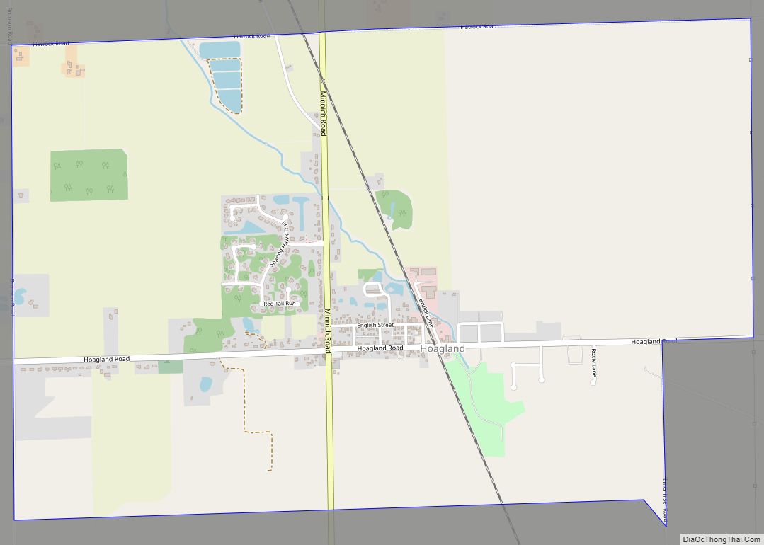
Hoagland is an unincorporated census-designated place (CDP) in Madison Township, Allen County, in the U.S. state of Indiana. As of the 2010 census, it had a population of 821. Hoagland CDP overview: Name: Hoagland CDP LSAD Code: 57 LSAD Description: CDP (suffix) State: Indiana County: Allen County Elevation: 823 ft (251 m) Total Area: 3.40 sq mi (8.80 km²) Land ... Read more
Indiana Cities and Places
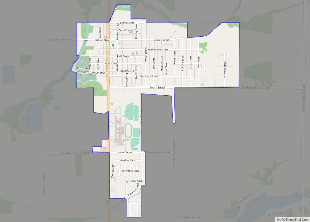
Hope is a town in Haw Creek Township, Bartholomew County, Indiana, United States, known for its historic character. The population was 2,102 at the 2010 census. It is part of the Columbus, Indiana, metropolitan statistical area. Hope town overview: Name: Hope town LSAD Code: 43 LSAD Description: town (suffix) State: Indiana County: Bartholomew County Elevation: ... Read more
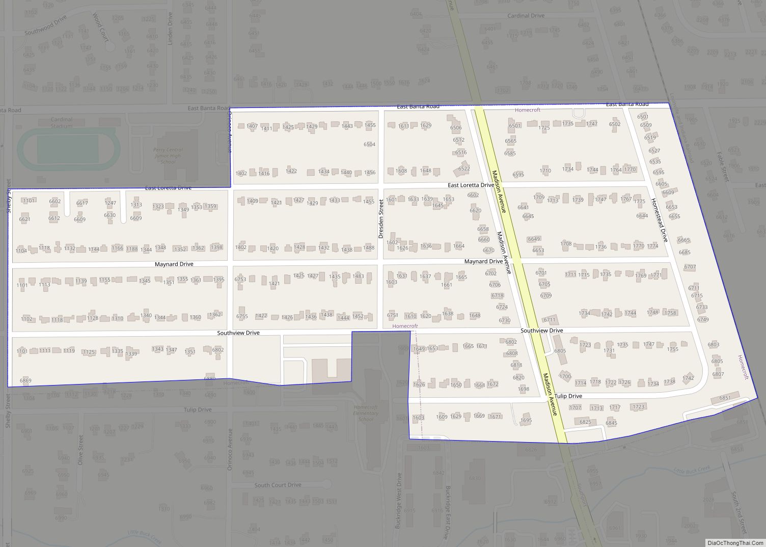
Homecroft is a town in Perry Township, Marion County, Indiana, United States. The population was 752 at the 2020 census. Incorporated in 1949, it has existed as an included town since 1970, when it was incorporated into Indianapolis as part of Unigov. It is part of Indianapolis, but retains a functioning town government under IC ... Read more
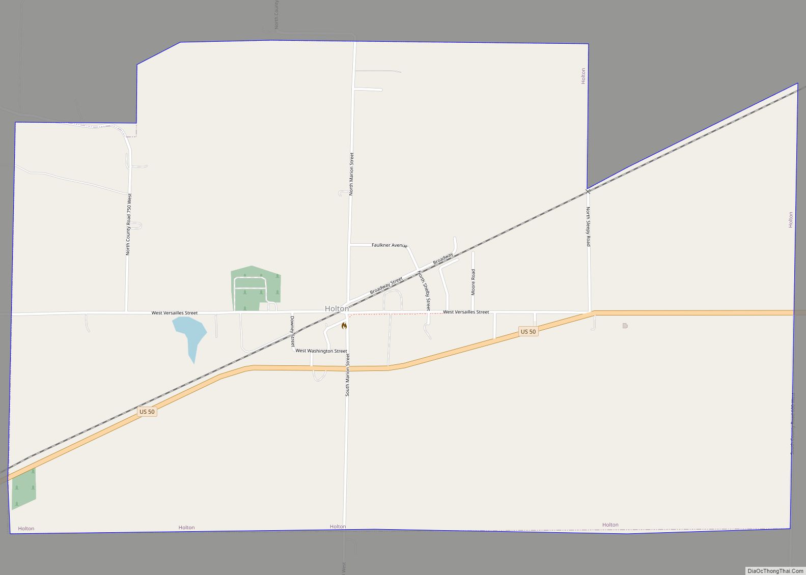
Holton is a town in Otter Creek Township, Ripley County, in the U.S. state of Indiana. The population was 480 at the 2010 census. Holton town overview: Name: Holton town LSAD Code: 43 LSAD Description: town (suffix) State: Indiana County: Ripley County Elevation: 909 ft (277 m) Total Area: 1.81 sq mi (4.69 km²) Land Area: 1.81 sq mi (4.69 km²) Water Area: ... Read more
Hudson is a town in Salem and Steuben townships, Steuben County, in the U.S. state of Indiana. The population was 518 at the 2010 census. Hudson town overview: Name: Hudson town LSAD Code: 43 LSAD Description: town (suffix) State: Indiana County: Steuben County Elevation: 991 ft (302 m) Total Area: 0.70 sq mi (1.80 km²) Land Area: 0.70 sq mi (1.80 km²) Water ... Read more
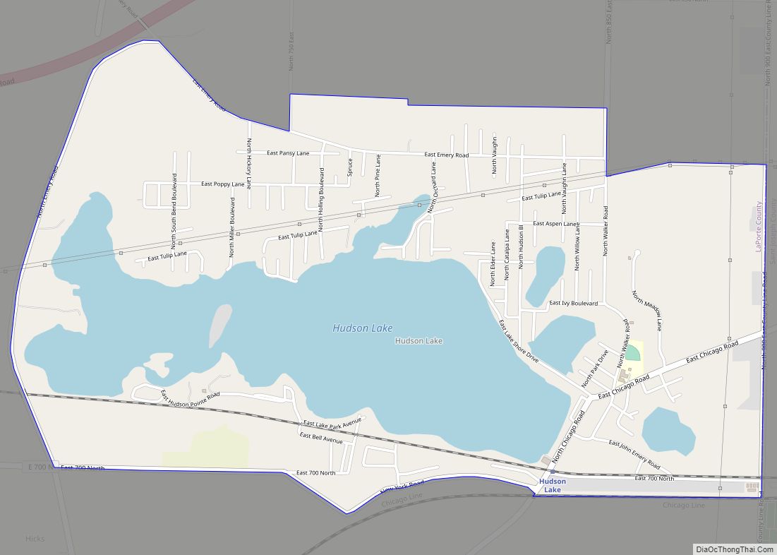
Hudson Lake is an unincorporated community and census-designated place (CDP) in Hudson Township, LaPorte County, Indiana, United States. The town sits on the dividing line between Central and Eastern time zones. It is the site of the Hudson Lake station stop of the South Shore Line. As of the 2010 census, the population of the ... Read more
Howe is an unincorporated community and census-designated place in Lima Township, LaGrange County, Indiana. As of the 2010 census its population was 807. Howe CDP overview: Name: Howe CDP LSAD Code: 57 LSAD Description: CDP (suffix) State: Indiana County: LaGrange County Elevation: 879 ft (268 m) Total Area: 1.79 sq mi (4.63 km²) Land Area: 1.79 sq mi (4.63 km²) Water Area: 0.00 sq mi ... Read more
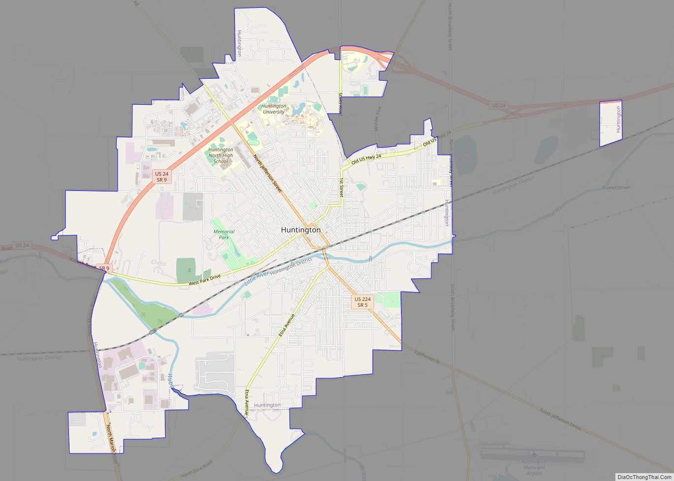
Huntington, known as the “Lime City”, is the largest city in and the county seat of Huntington County, Indiana, United States. It is in Huntington and Union townships. It is also part of Fort Wayne, Indiana‘s metropolitan area. The population was 17,022 at the 2020 census. Huntington city overview: Name: Huntington city LSAD Code: 25 ... Read more
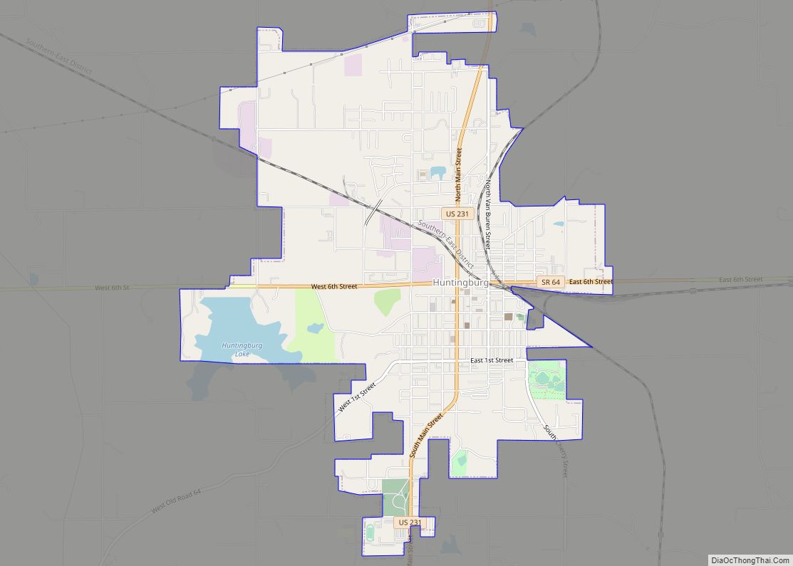
Huntingburg is a city in Patoka Township, Dubois County, in the U.S. state of Indiana. The population was 6,362 at the 2020 census. Located in southwestern Indiana, the city is known for its downtown with numerous antique shops. It is part of the Jasper Micropolitan Statistical Area. The city is also known as the “Hollywood ... Read more
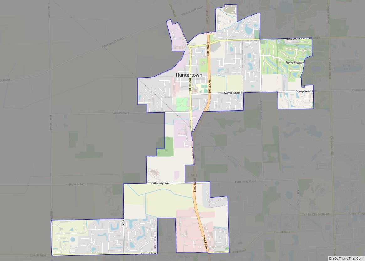
Huntertown is a town in Allen County, Indiana. The population was 9,141 at the time of the 2020 census, making it one of the fastest-growing areas in northeastern Indiana, with a population increase of 90 percent since 2010. Huntertown town overview: Name: Huntertown town LSAD Code: 43 LSAD Description: town (suffix) State: Indiana County: Allen ... Read more
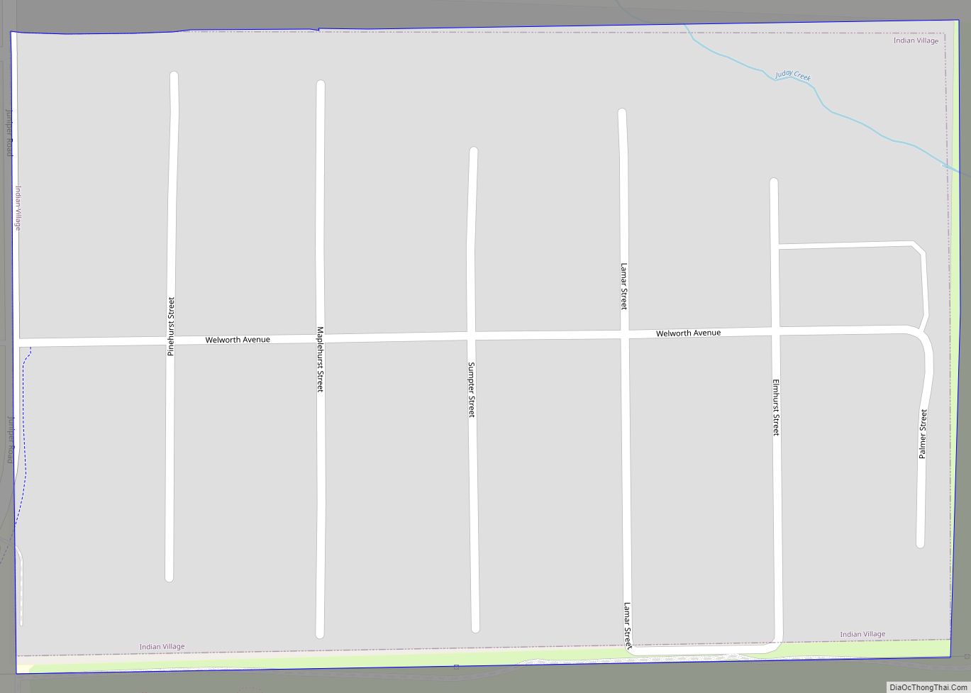
Indian Village is a town in Clay Township, St. Joseph County, in the U.S. state of Indiana. The population was 133 at the 2010 Census. It is part of the South Bend–Mishawaka, IN-MI, Metropolitan Statistical Area. Indian Village town overview: Name: Indian Village town LSAD Code: 43 LSAD Description: town (suffix) State: Indiana County: St. ... Read more
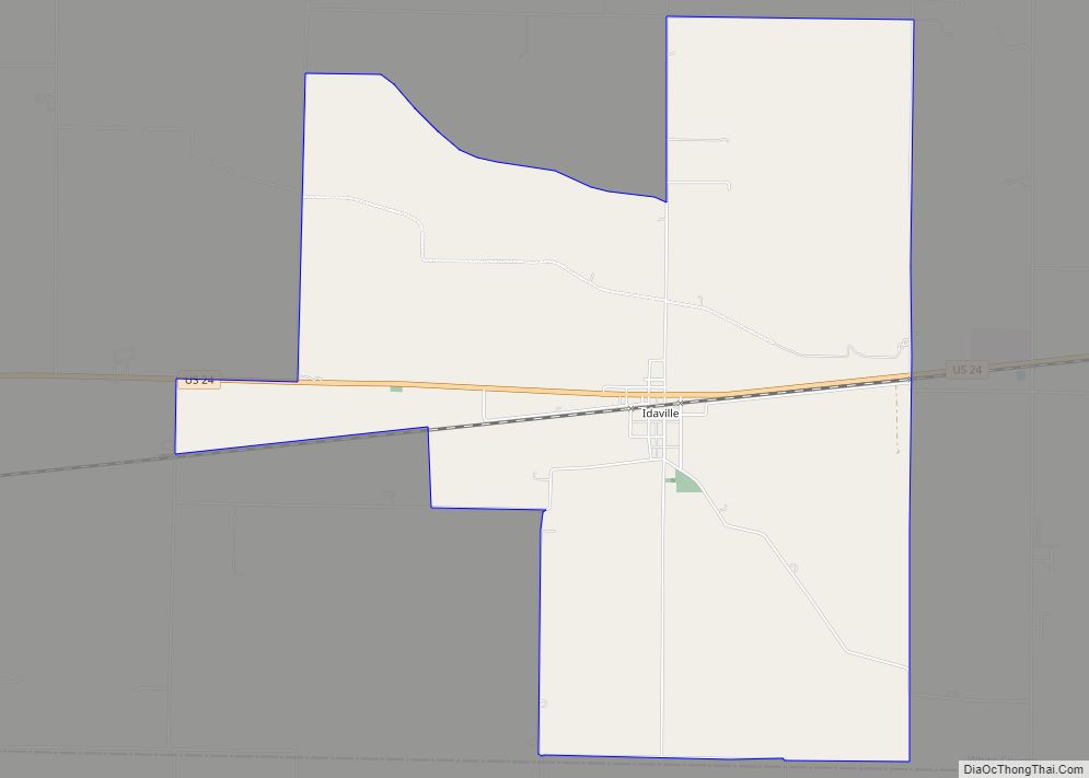
Idaville is a census-designated place in Lincoln Township, White County, in the U.S. state of Indiana. Idaville CDP overview: Name: Idaville CDP LSAD Code: 57 LSAD Description: CDP (suffix) State: Indiana County: White County Elevation: 715 ft (218 m) Total Area: 5.84 sq mi (15.11 km²) Land Area: 5.84 sq mi (15.11 km²) Water Area: 0.00 sq mi (0.00 km²) Total Population: 440 Population Density: 75.39/sq mi ... Read more
