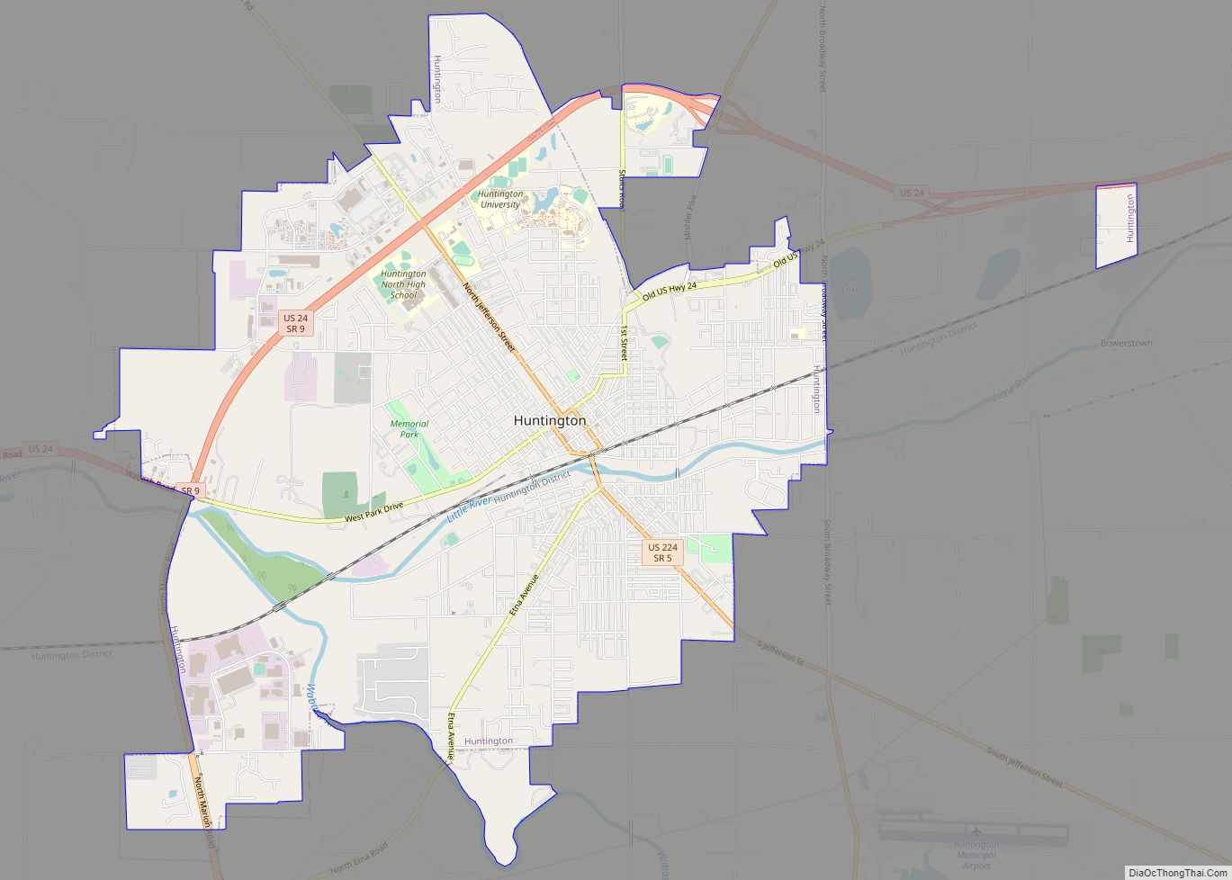
Huntington, known as the “Lime City”, is the largest city in and the county seat of Huntington County, Indiana, United States. It is in Huntington and Union townships. It is also part of Fort Wayne, Indiana‘s metropolitan area. The population was 17,022 at the 2020 census.
| Name: | Huntington city |
|---|---|
| LSAD Code: | 25 |
| LSAD Description: | city (suffix) |
| State: | Indiana |
| County: | Huntington County |
| Elevation: | 748 ft (228 m) |
| Total Area: | 9.45 sq mi (24.47 km²) |
| Land Area: | 9.31 sq mi (24.12 km²) |
| Water Area: | 0.14 sq mi (0.35 km²) |
| Total Population: | 17,022 |
| Population Density: | 1,827.96/sq mi (705.81/km²) |
| ZIP code: | 46750 |
| Area code: | 260 |
| FIPS code: | 1835302 |
| GNISfeature ID: | 0436634 |
| Website: | www.huntington.in.us/city |
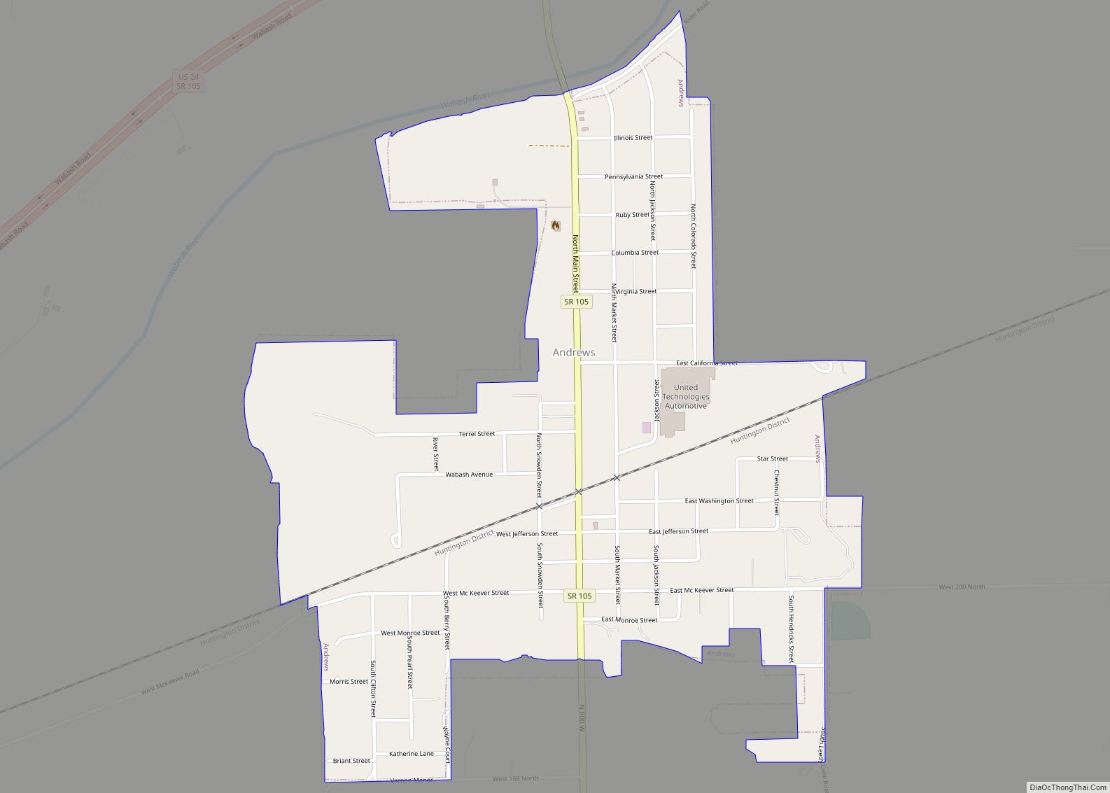
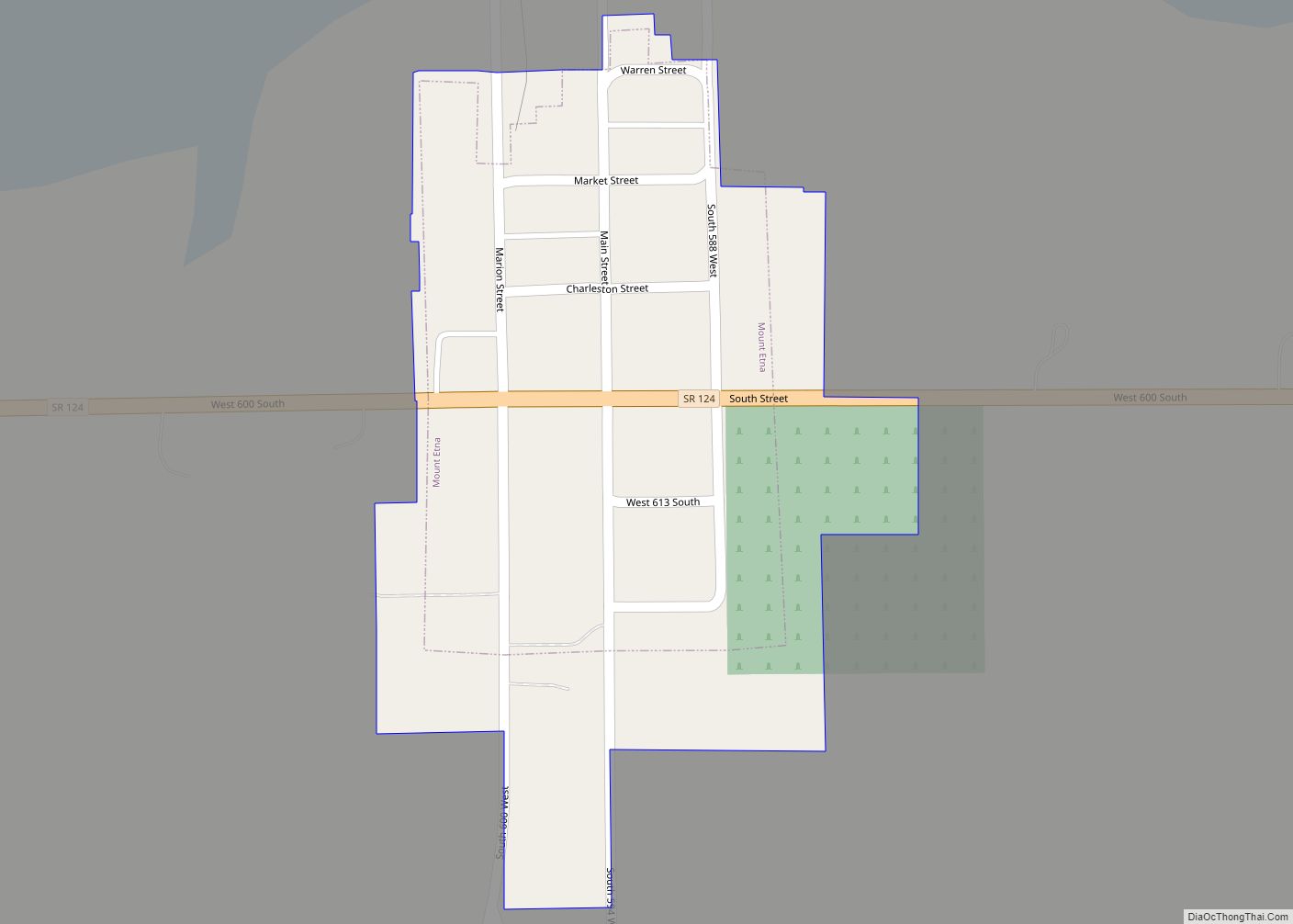
Online Interactive Map
Click on ![]() to view map in "full screen" mode.
to view map in "full screen" mode.
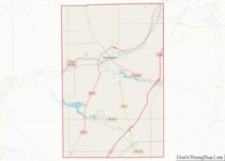
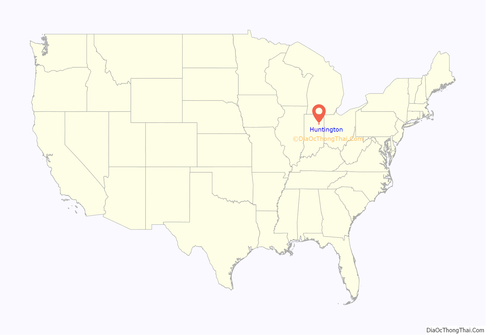
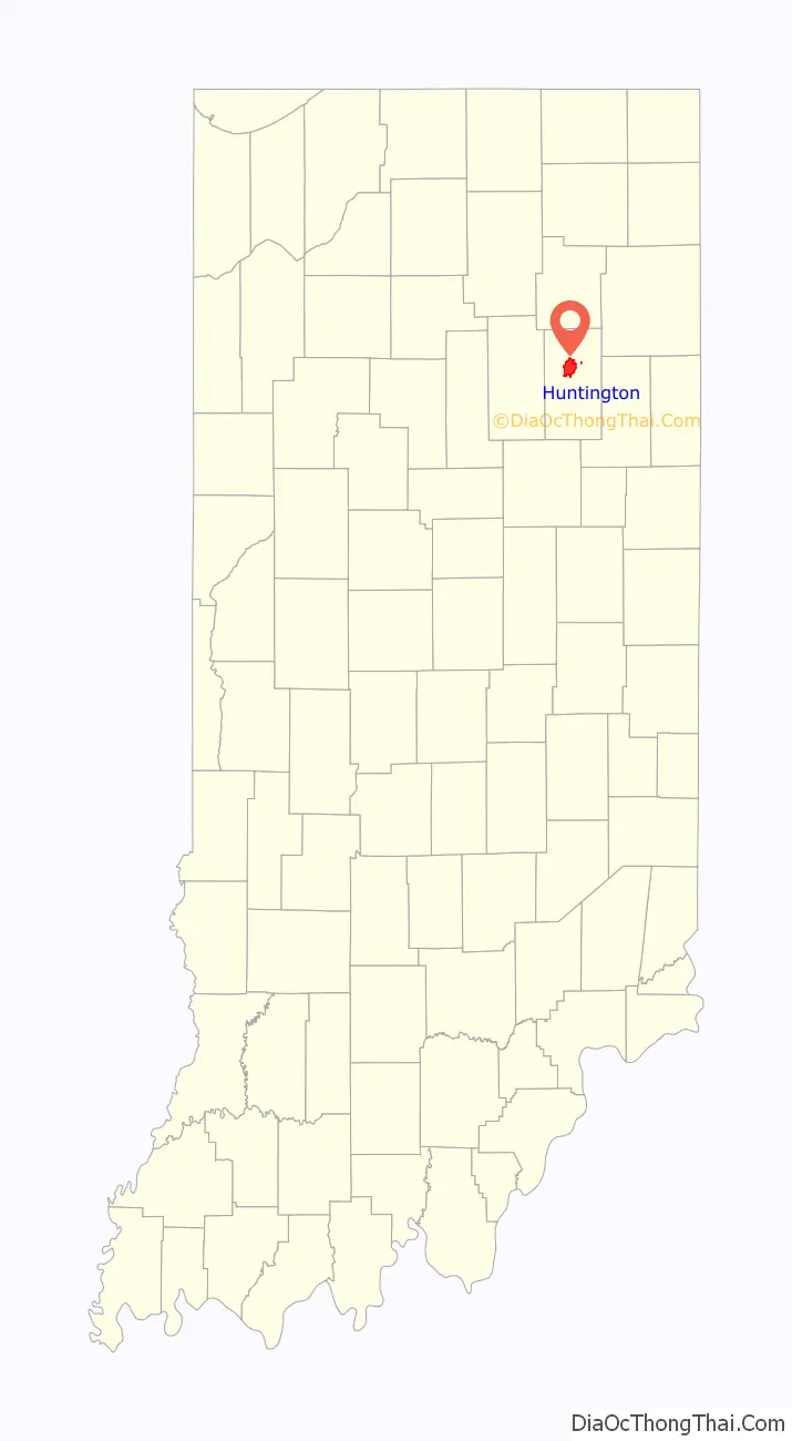
Huntington location map. Where is Huntington city?
History
Name
Huntington was named by Capt. Elias Murray, a member of the legislature. The name Huntington is derived from Samuel Huntington, a judge, politician, and patriot in the American Revolution. Samuel Huntington is also known for being the 3rd Governor of Connecticut and the 7th President of the Continental Congress. Being a delegate to the Second Continental Congress, Huntington took part in voting for and signing the Declaration of Independence and the Articles of Confederation.
Early settlement
The county of Huntington was formally organized on December 2, 1834. The city of Huntington was first established by a group of pioneers, most notably Capt. Elias Murray. By 1849, Huntington contained 150 houses and a population of 700.
Historical literature
A small number of books have been published about the history of Huntington County, the first being History of Huntington County, Indiana originally published by Brant & Fuller. Two other books about Huntington include History of Huntington County, IN by Frank Sumner Bash in 1914 (describing its historical progress, its people, and its principal interests) and Huntington County, IN: Histories and Families by Turner Publishing Company in 1993 as a result of the Huntington County Historical Society officers and board of directors meeting in summer 1992 to discuss the family history of Huntington, the glue that has held together the city and county of Huntington in the heartland of the Midwest for more than 175 years.
Wabash and Erie Canal
The Wabash and Erie Canal was constructed through Huntington County in 1834 and added major economic benefit to the area. In addition to the Wabash River cutting through Huntington (see Forks of the Wabash), this newly opened trade route accelerated the population and economic growth in Huntington.
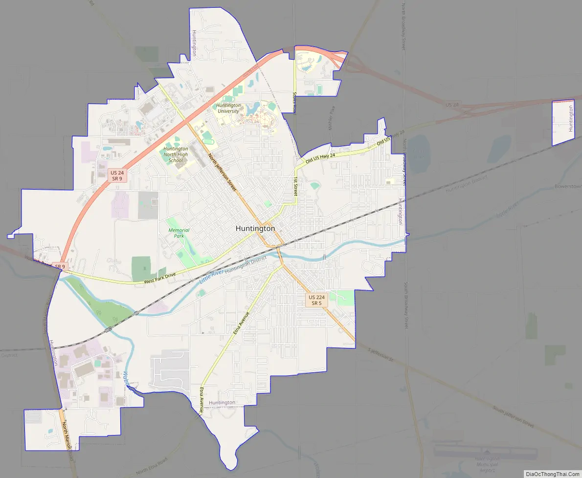
Huntington Road Map
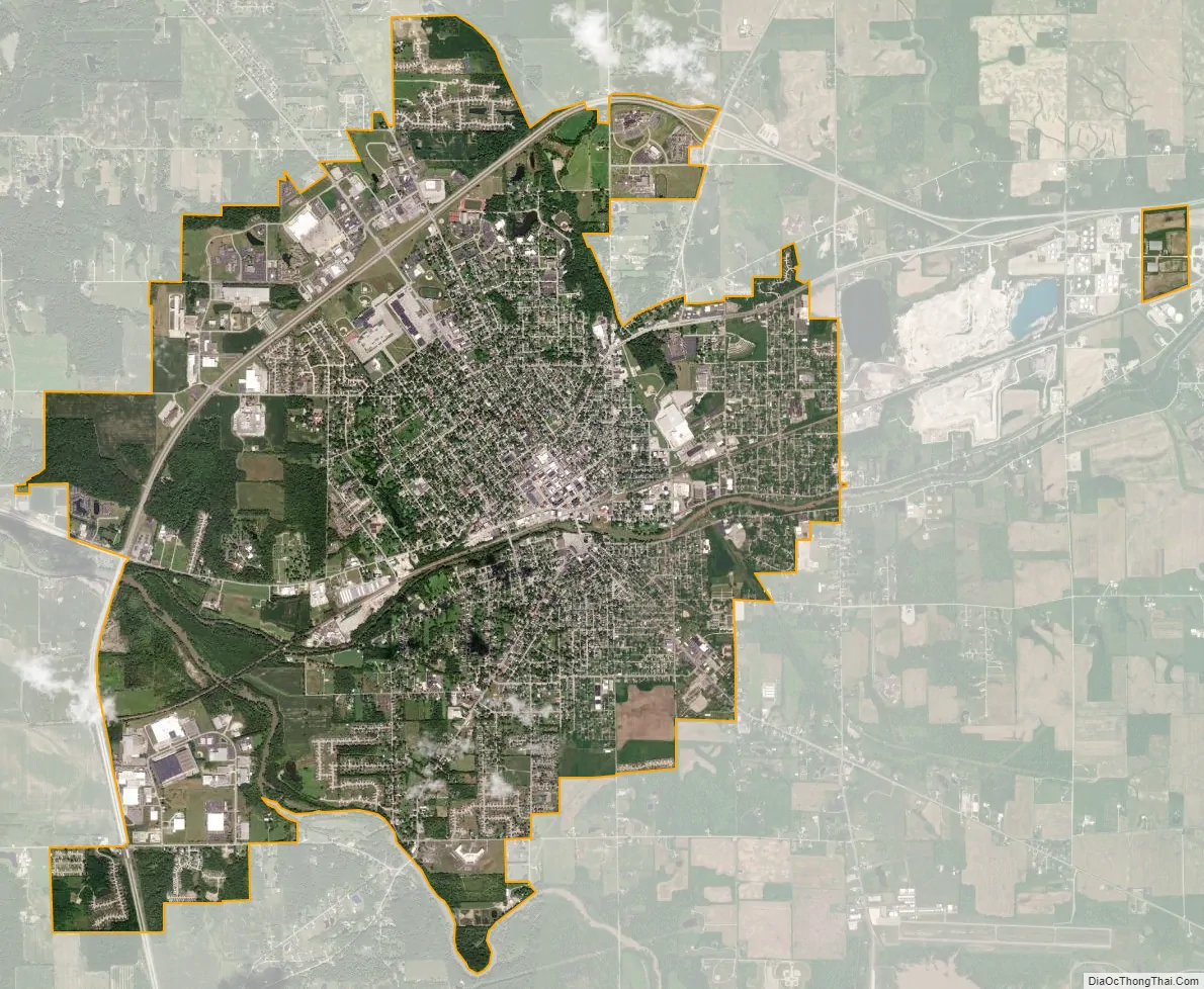
Huntington city Satellite Map
Geography
According to the 2010 census, Huntington has a total area of 8.844 square miles (22.91 km), of which 8.71 square miles (22.56 km) (or 98.48%) is land and 0.134 square miles (0.35 km) (or 1.52%) is water.
See also
Map of Indiana State and its subdivision:- Adams
- Allen
- Bartholomew
- Benton
- Blackford
- Boone
- Brown
- Carroll
- Cass
- Clark
- Clay
- Clinton
- Crawford
- Daviess
- De Kalb
- Dearborn
- Decatur
- Delaware
- Dubois
- Elkhart
- Fayette
- Floyd
- Fountain
- Franklin
- Fulton
- Gibson
- Grant
- Greene
- Hamilton
- Hancock
- Harrison
- Hendricks
- Henry
- Howard
- Huntington
- Jackson
- Jasper
- Jay
- Jefferson
- Jennings
- Johnson
- Knox
- Kosciusko
- LaGrange
- Lake
- Lake Michigan
- LaPorte
- Lawrence
- Madison
- Marion
- Marshall
- Martin
- Miami
- Monroe
- Montgomery
- Morgan
- Newton
- Noble
- Ohio
- Orange
- Owen
- Parke
- Perry
- Pike
- Porter
- Posey
- Pulaski
- Putnam
- Randolph
- Ripley
- Rush
- Saint Joseph
- Scott
- Shelby
- Spencer
- Starke
- Steuben
- Sullivan
- Switzerland
- Tippecanoe
- Tipton
- Union
- Vanderburgh
- Vermillion
- Vigo
- Wabash
- Warren
- Warrick
- Washington
- Wayne
- Wells
- White
- Whitley
- Alabama
- Alaska
- Arizona
- Arkansas
- California
- Colorado
- Connecticut
- Delaware
- District of Columbia
- Florida
- Georgia
- Hawaii
- Idaho
- Illinois
- Indiana
- Iowa
- Kansas
- Kentucky
- Louisiana
- Maine
- Maryland
- Massachusetts
- Michigan
- Minnesota
- Mississippi
- Missouri
- Montana
- Nebraska
- Nevada
- New Hampshire
- New Jersey
- New Mexico
- New York
- North Carolina
- North Dakota
- Ohio
- Oklahoma
- Oregon
- Pennsylvania
- Rhode Island
- South Carolina
- South Dakota
- Tennessee
- Texas
- Utah
- Vermont
- Virginia
- Washington
- West Virginia
- Wisconsin
- Wyoming