Howe is an unincorporated community and census-designated place in Lima Township, LaGrange County, Indiana. As of the 2010 census its population was 807.
| Name: | Howe CDP |
|---|---|
| LSAD Code: | 57 |
| LSAD Description: | CDP (suffix) |
| State: | Indiana |
| County: | LaGrange County |
| Elevation: | 879 ft (268 m) |
| Total Area: | 1.79 sq mi (4.63 km²) |
| Land Area: | 1.79 sq mi (4.63 km²) |
| Water Area: | 0.00 sq mi (0.00 km²) |
| Total Population: | 610 |
| Population Density: | 341.16/sq mi (131.74/km²) |
| ZIP code: | 46746 |
| FIPS code: | 1834978 |
| GNISfeature ID: | 436547 |
Online Interactive Map
Click on ![]() to view map in "full screen" mode.
to view map in "full screen" mode.
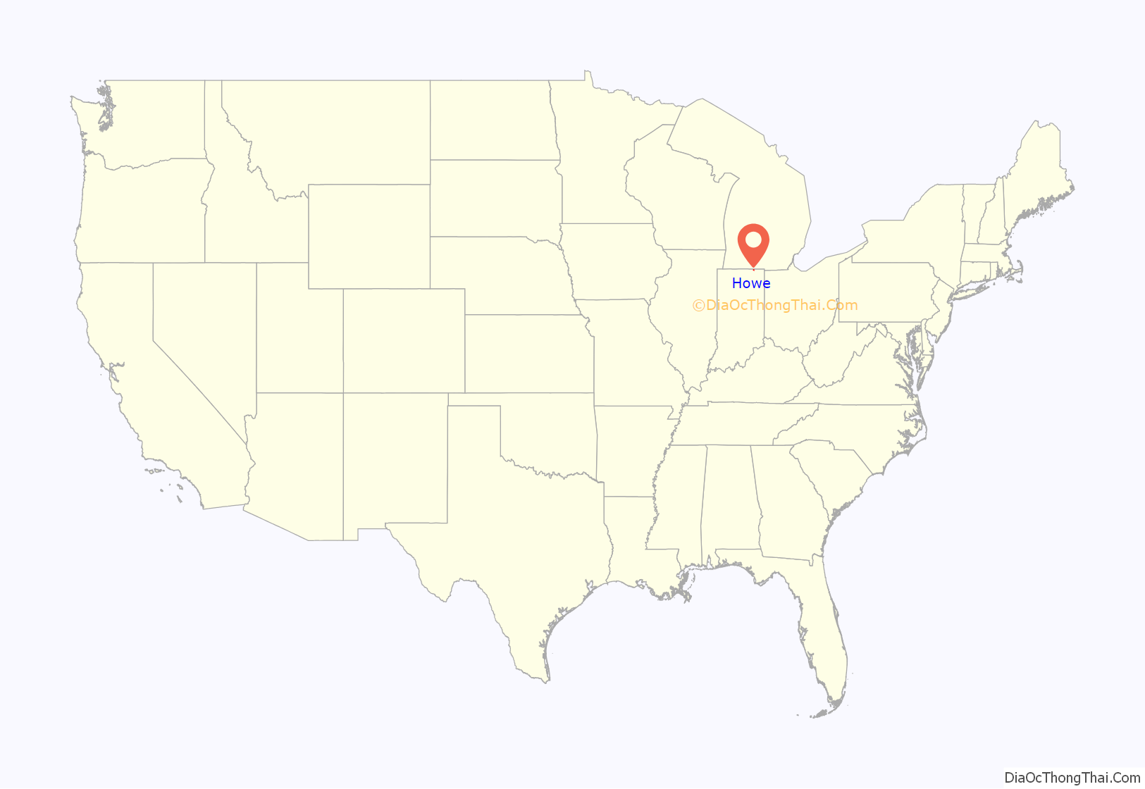
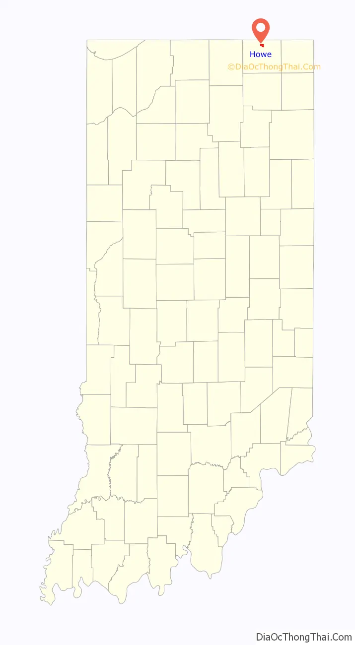
Howe location map. Where is Howe CDP?
History
Howe was settled in 1834. At that time, it was named “Mongoquinong”, a name that the Potawatomi people had given to the prairie in northeastern Indiana. Shortly thereafter it was renamed “Lima” and was, at that time, the county seat. It was later renamed “Howe” after John B. Howe, a local attorney.
The Howe Military School, the town’s most famous attraction, was founded in 1884.
Local places on the National Register
Sites in Howe on the National Register of Historic Places are:
- John Badlam Howe Mansion, also known as the Howe Military School Rectory
- Lima Township School
- St. James Memorial Chapel
- Star Milling and Electric Company Historic District
- Samuel P. Williams House
Kingsbury Hotel
Howe Road Map

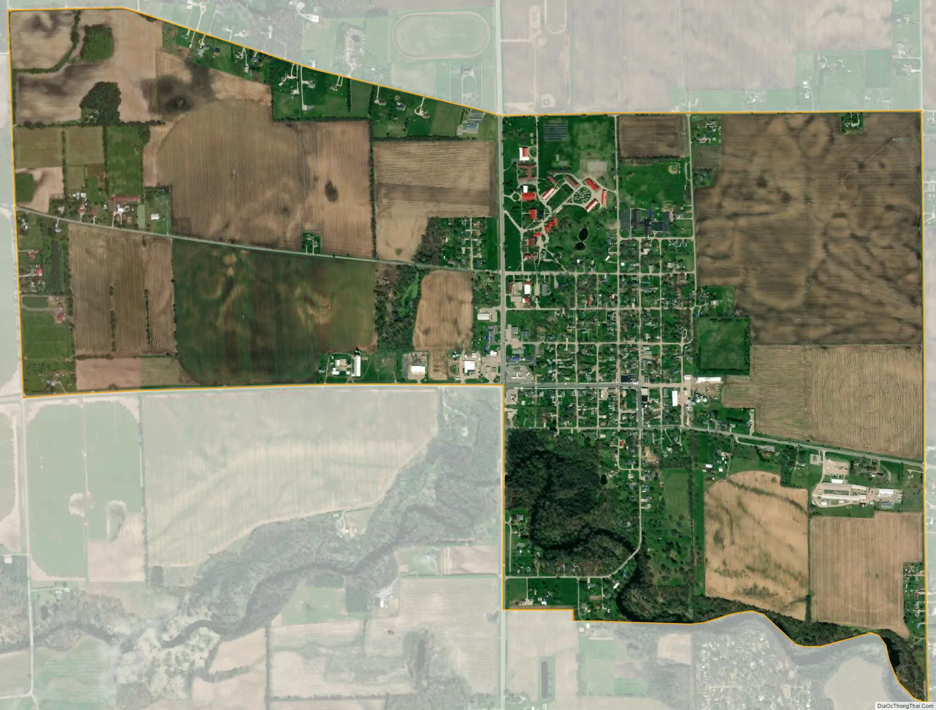
Howe city Satellite Map
Geography
Howe is located in northern LaGrange County at 41°43′17″N 85°25′14″W / 41.72139°N 85.42056°W / 41.72139; -85.42056 at the intersection of State Road 120 and State Road 9. It is the principal community in Lima Township. It is 2 miles (3 km) south of Interstate 80/90 (the Indiana Toll Road), and 5 miles (8 km) north of LaGrange, the county seat.
According to the U.S. Census Bureau, the Howe census-designated place has an area of 1.8 square miles (4.6 km), all of it recorded as land. The Pigeon River, a tributary of the St. Joseph River, flows westward along the southern edge of the community.
See also
Map of Indiana State and its subdivision:- Adams
- Allen
- Bartholomew
- Benton
- Blackford
- Boone
- Brown
- Carroll
- Cass
- Clark
- Clay
- Clinton
- Crawford
- Daviess
- De Kalb
- Dearborn
- Decatur
- Delaware
- Dubois
- Elkhart
- Fayette
- Floyd
- Fountain
- Franklin
- Fulton
- Gibson
- Grant
- Greene
- Hamilton
- Hancock
- Harrison
- Hendricks
- Henry
- Howard
- Huntington
- Jackson
- Jasper
- Jay
- Jefferson
- Jennings
- Johnson
- Knox
- Kosciusko
- LaGrange
- Lake
- Lake Michigan
- LaPorte
- Lawrence
- Madison
- Marion
- Marshall
- Martin
- Miami
- Monroe
- Montgomery
- Morgan
- Newton
- Noble
- Ohio
- Orange
- Owen
- Parke
- Perry
- Pike
- Porter
- Posey
- Pulaski
- Putnam
- Randolph
- Ripley
- Rush
- Saint Joseph
- Scott
- Shelby
- Spencer
- Starke
- Steuben
- Sullivan
- Switzerland
- Tippecanoe
- Tipton
- Union
- Vanderburgh
- Vermillion
- Vigo
- Wabash
- Warren
- Warrick
- Washington
- Wayne
- Wells
- White
- Whitley
- Alabama
- Alaska
- Arizona
- Arkansas
- California
- Colorado
- Connecticut
- Delaware
- District of Columbia
- Florida
- Georgia
- Hawaii
- Idaho
- Illinois
- Indiana
- Iowa
- Kansas
- Kentucky
- Louisiana
- Maine
- Maryland
- Massachusetts
- Michigan
- Minnesota
- Mississippi
- Missouri
- Montana
- Nebraska
- Nevada
- New Hampshire
- New Jersey
- New Mexico
- New York
- North Carolina
- North Dakota
- Ohio
- Oklahoma
- Oregon
- Pennsylvania
- Rhode Island
- South Carolina
- South Dakota
- Tennessee
- Texas
- Utah
- Vermont
- Virginia
- Washington
- West Virginia
- Wisconsin
- Wyoming


