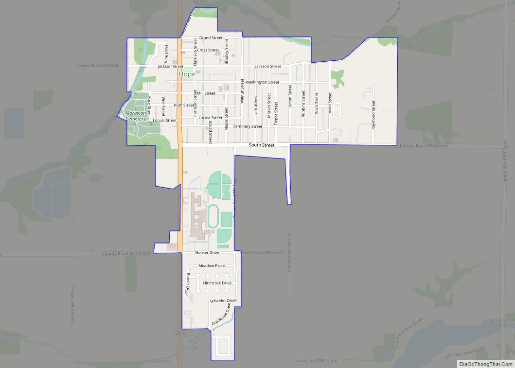
Hope is a town in Haw Creek Township, Bartholomew County, Indiana, United States, known for its historic character. The population was 2,102 at the 2010 census. It is part of the Columbus, Indiana, metropolitan statistical area.
| Name: | Hope town |
|---|---|
| LSAD Code: | 43 |
| LSAD Description: | town (suffix) |
| State: | Indiana |
| County: | Bartholomew County |
| Elevation: | 715 ft (218 m) |
| Total Area: | 0.95 sq mi (2.47 km²) |
| Land Area: | 0.95 sq mi (2.47 km²) |
| Water Area: | 0.00 sq mi (0.00 km²) |
| Total Population: | 2,099 |
| Population Density: | 2,204.83/sq mi (851.00/km²) |
| ZIP code: | 47246 |
| Area code: | 812 |
| FIPS code: | 1834744 |
| GNISfeature ID: | 0436432 |
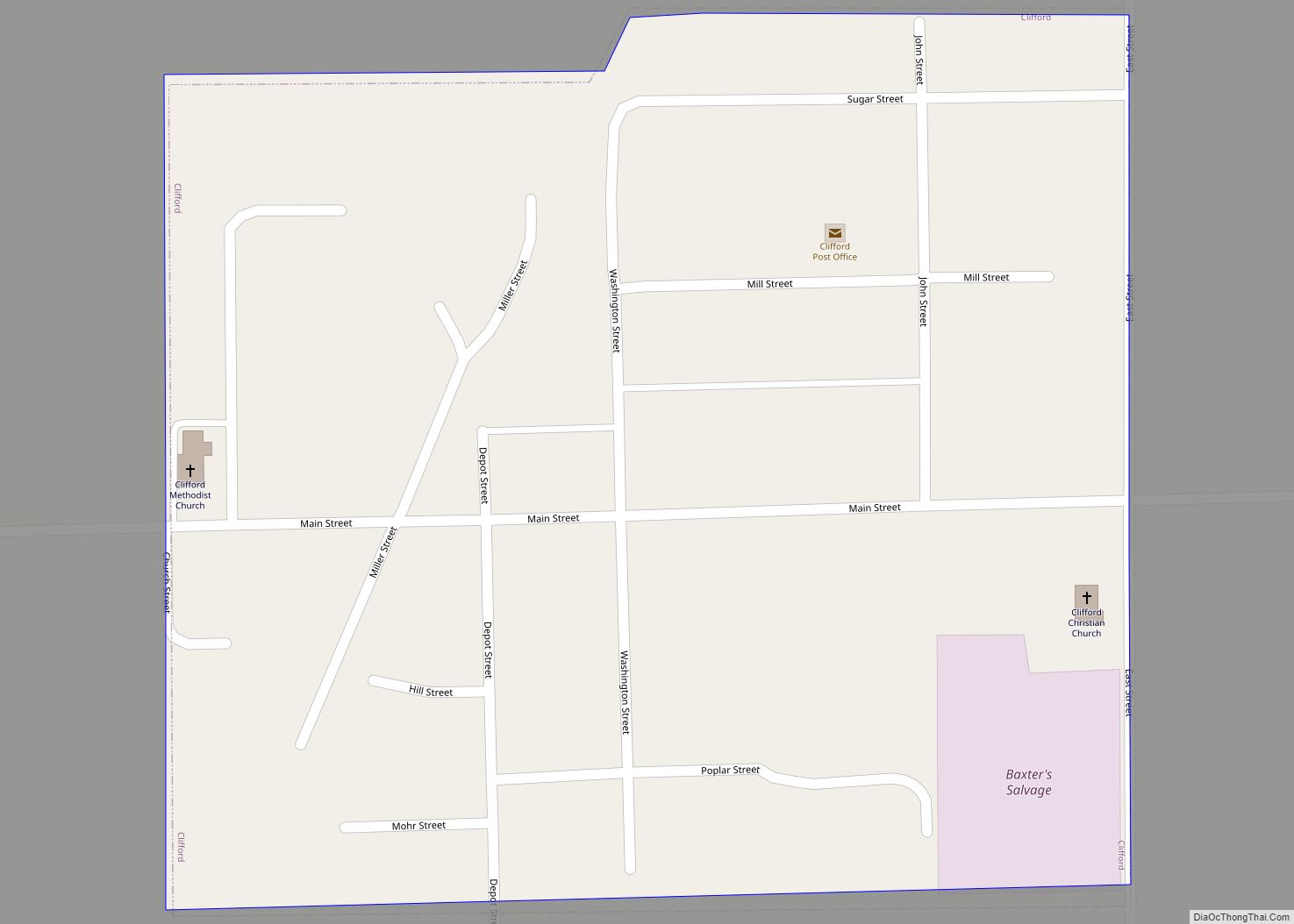
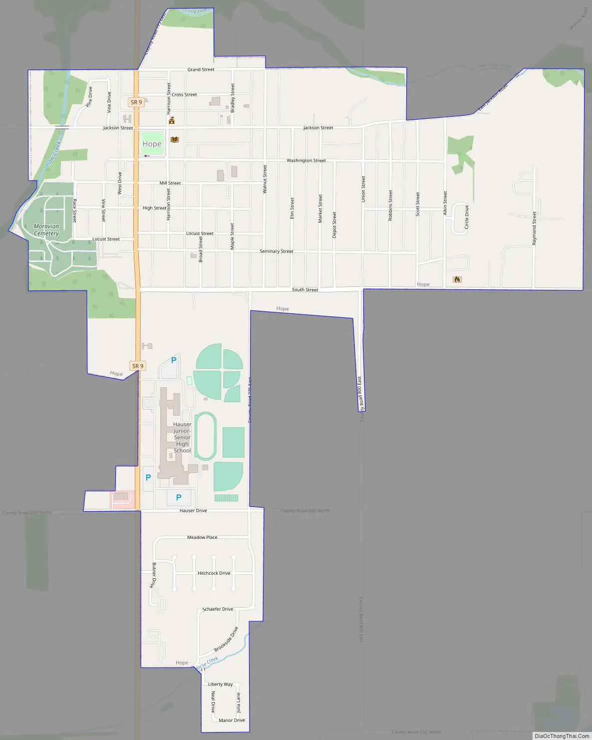
Online Interactive Map
Click on ![]() to view map in "full screen" mode.
to view map in "full screen" mode.
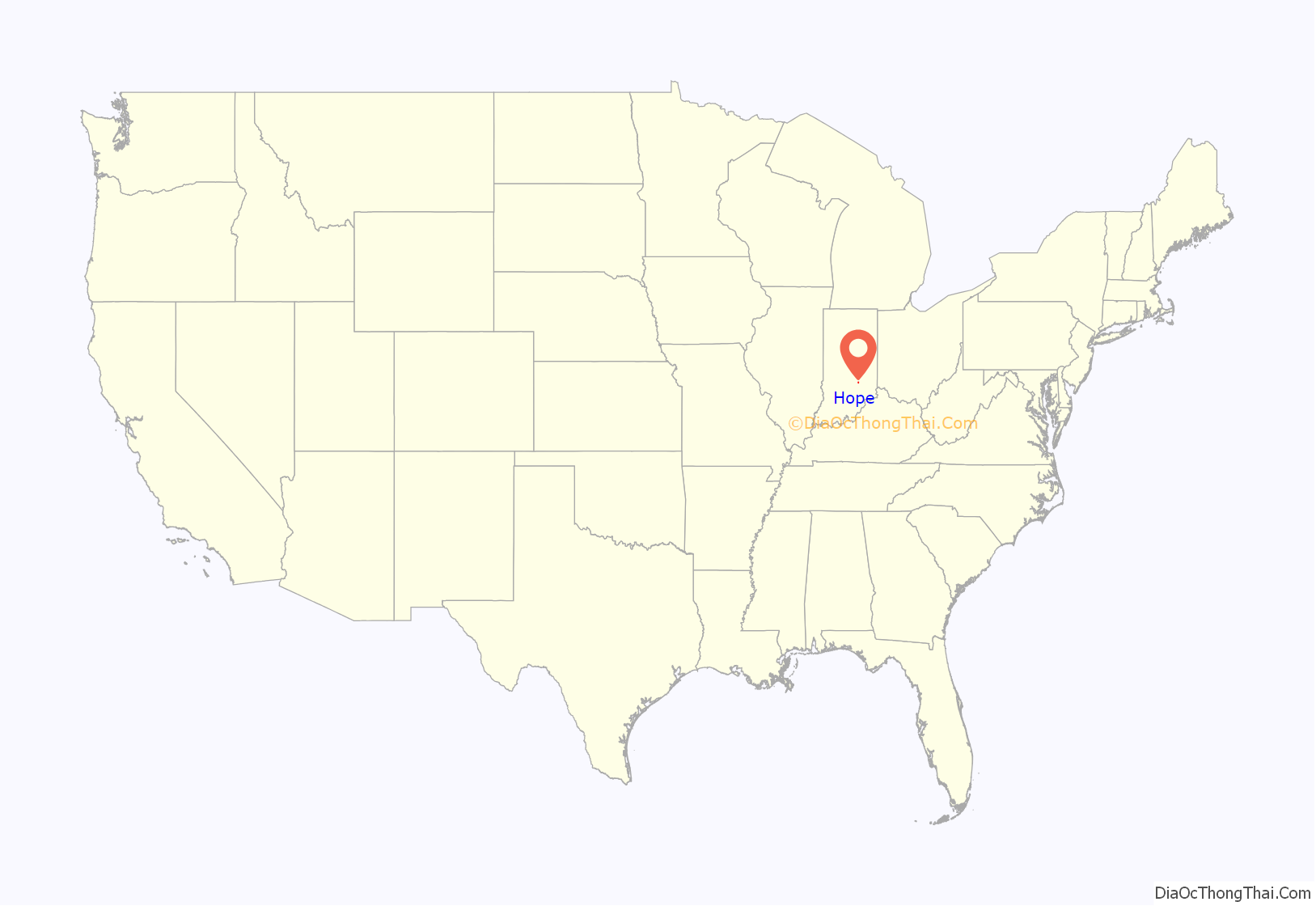
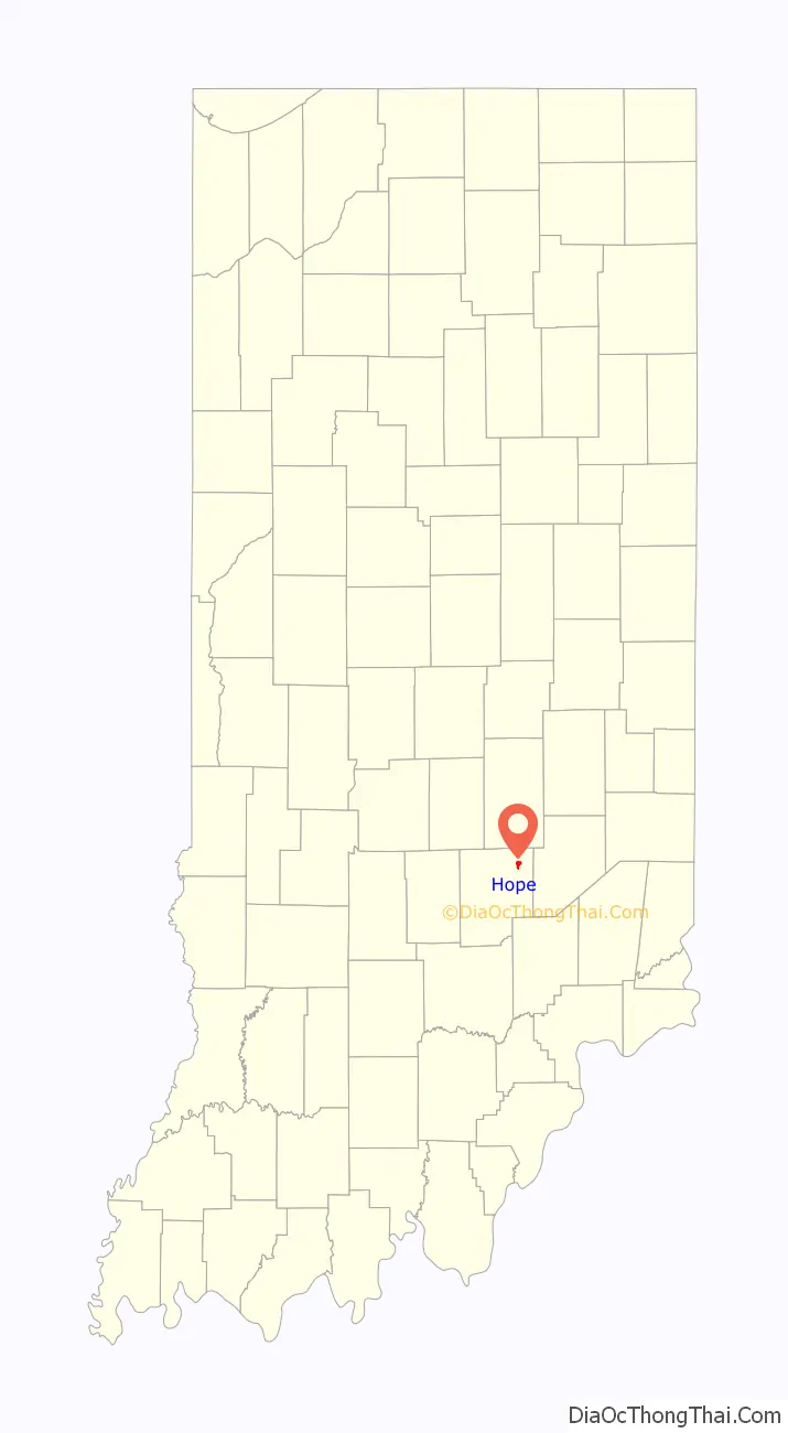
Hope location map. Where is Hope town?
History
Historically the Delaware tribe lived in what is now Bartholomew County, Indiana, including the region of Hope. After the Battle of Fallen Timbers in 1794 in Ohio, the Miami tribe moved west and into much of the area inhabited by the Delaware. In turn the Miami were driven out by war with the U.S., and in particular by forces led by John Tipton and Joseph Bartholomew. Tipton and Bartholomew were among the men who fought at the Battle of Tippecanoe in 1811, forcing the Native Americans to cede more territory to the U.S. government. Later Tipton and Bartholomew came through what is now Bartholomew County, on instructions from the government to “rid the area of Indians.” Many of the Miami were removed to Oklahoma, though a group of Miami remain in Indiana without federal recognition. Indiana was admitted to the union in 1816, and in October 1818, under pressure from the U.S. government, the Miami, Potawatomi, Wea, and Delaware tribes signed treaties with the U.S. exchanging millions of acres of their land in central Indiana for annuities and goods, opening this forest region to settlers looking for lands to farm.
The first settlement at Hope was made in 1830 by a colony of Moravians (people of the Protestant Moravian denomination) from Salem, North Carolina (now Winston-Salem), led by the Rev. Martin Hauser, after whom the town high school is named. Although a 1905 source claimed that the town was named for the optimistic spirit of its Moravian pioneer settlers, “Hope” is a common name for religious settlements, denoting hope in God’s favor and the resurrection. The town was originally named Goshen, after the Biblical Goshen, but upon the establishment of a post office in 1834 the name was changed to Hope, as Indiana already had a town named Goshen. The town was founded to be a communal settlement like that of the two prominent Moravian settlements in the United States, Salem, North Carolina and Bethlehem, Pennsylvania. The model for these did not work for a farming community like Hope, and early on the decision was made to end community property and allow residents to own their own land. Soon thereafter the town was also opened to non-Moravians.
In the middle of the nineteenth century a Moravian day school was opened in Hope, and soon thereafter it was decided that the school should be transformed into a boarding school for young women, under the auspices of the Moravian Church. Guidance and funds were provided from the Moravian Church in Bethlehem, Pennsylvania, and the Hope Moravian Seminary for Young Ladies opened in 1866. A building, a house for the principal and his family, and extensive grounds were situated on what is now Seminary Street. The school was run for thirteen years by the Rev. Francis R. Holland and his wife Augusta Holland, with a number of teachers, and offered a wide program of study, including Latin, English, French, German, music, drawing, mathematics, geography, history, and natural history. Students came from a number of midwestern states. With so many teachers, the school had trouble making ends meet, and in 1879 the Bethlehem elders sent a second principal, the Rev. Jesse Blickensdorfer, to replace the first, in the hope that he could make the school profitable. He reduced the number of teachers to two, but this effort also failed and the seminary was closed in 1881. In later years the buildings were used for a normal school, and then finally torn down. All that remains of the school are elaborate iron gates on the western side of Main Street, given by alumnae of the school in memory of the nature walks led by the Rev. Holland in the Spring Woods, entered where the gates stand, and the name “Seminary Street.”
Hope retains many other signs of its past, and the entire downtown district is on the National Register of Historic Places, known as the Hope Historic District. The history of the town can also be traced in the town’s Yellow Trail Museum, which contains two floors of historical artifacts donated by the townspeople. The town is also home to the Rural Letter Carriers’ Museum (currently undergoing removal and restoration), in honor of the fact that Hope has the oldest continuously-running rural mail delivery in the nation, begun in 1896.
Hope’s historic past is honored in Hope Heritage Days, held every year on the last full weekend in September.
Hope was one of Indiana’s smallest communities to still have its own newspaper, established in 1912 when two competing newspapers merged to create one weekly publication—the Hope Star-Journal. Upon the death of the editor in 2014, the Star-Journal converted to an online publication, at Home – HSJ Online.
Hope is home to three buildings designed by acclaimed architects: Hope Elementary (Taft Associates), Hope Branch Library (Deborah Berke), and Hope Star-Journal (Harry Weese). The latter was built as a branch of Irwin Union Bank.
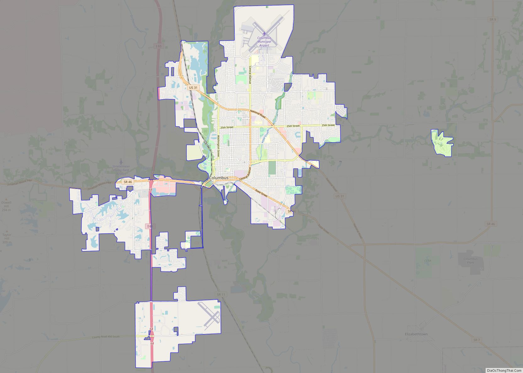
Hope Road Map
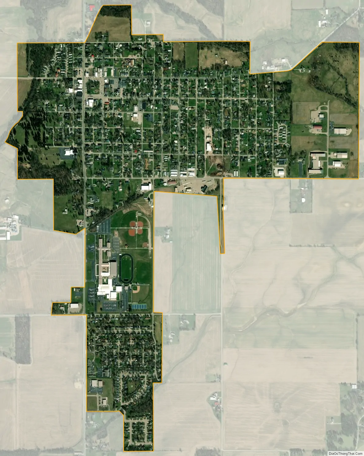
Hope city Satellite Map
Geography
Hope is located at 39°18′0″N 85°46′0″W / 39.30000°N 85.76667°W / 39.30000; -85.76667.
According to the 2010 census, Hope has a total area of 0.95 square miles (2.46 km), all land.
See also
Map of Indiana State and its subdivision:- Adams
- Allen
- Bartholomew
- Benton
- Blackford
- Boone
- Brown
- Carroll
- Cass
- Clark
- Clay
- Clinton
- Crawford
- Daviess
- De Kalb
- Dearborn
- Decatur
- Delaware
- Dubois
- Elkhart
- Fayette
- Floyd
- Fountain
- Franklin
- Fulton
- Gibson
- Grant
- Greene
- Hamilton
- Hancock
- Harrison
- Hendricks
- Henry
- Howard
- Huntington
- Jackson
- Jasper
- Jay
- Jefferson
- Jennings
- Johnson
- Knox
- Kosciusko
- LaGrange
- Lake
- Lake Michigan
- LaPorte
- Lawrence
- Madison
- Marion
- Marshall
- Martin
- Miami
- Monroe
- Montgomery
- Morgan
- Newton
- Noble
- Ohio
- Orange
- Owen
- Parke
- Perry
- Pike
- Porter
- Posey
- Pulaski
- Putnam
- Randolph
- Ripley
- Rush
- Saint Joseph
- Scott
- Shelby
- Spencer
- Starke
- Steuben
- Sullivan
- Switzerland
- Tippecanoe
- Tipton
- Union
- Vanderburgh
- Vermillion
- Vigo
- Wabash
- Warren
- Warrick
- Washington
- Wayne
- Wells
- White
- Whitley
- Alabama
- Alaska
- Arizona
- Arkansas
- California
- Colorado
- Connecticut
- Delaware
- District of Columbia
- Florida
- Georgia
- Hawaii
- Idaho
- Illinois
- Indiana
- Iowa
- Kansas
- Kentucky
- Louisiana
- Maine
- Maryland
- Massachusetts
- Michigan
- Minnesota
- Mississippi
- Missouri
- Montana
- Nebraska
- Nevada
- New Hampshire
- New Jersey
- New Mexico
- New York
- North Carolina
- North Dakota
- Ohio
- Oklahoma
- Oregon
- Pennsylvania
- Rhode Island
- South Carolina
- South Dakota
- Tennessee
- Texas
- Utah
- Vermont
- Virginia
- Washington
- West Virginia
- Wisconsin
- Wyoming