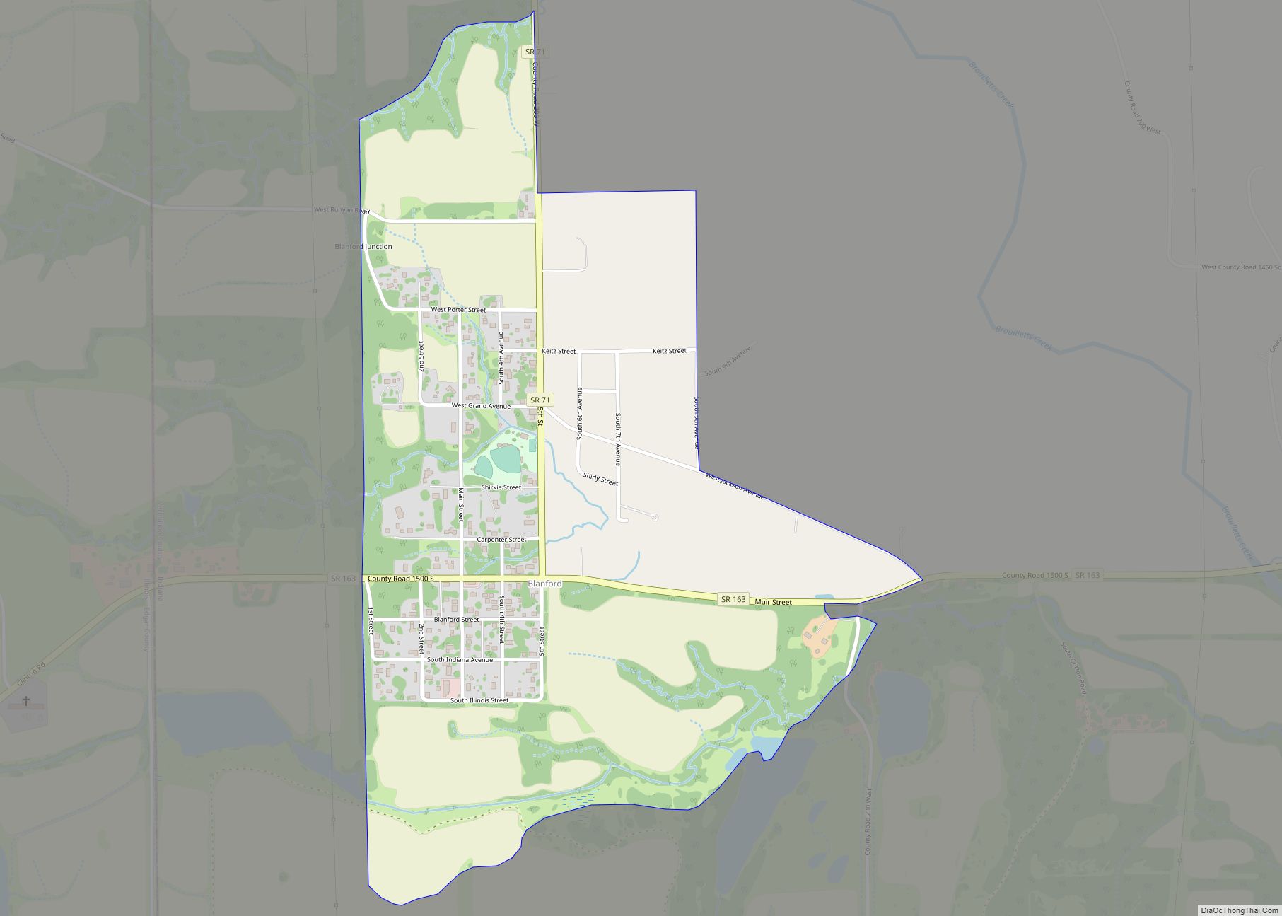
Blanford is a census-designated place in Clinton Township, Vermillion County, in the U.S. state of Indiana. Blanford CDP overview: Name: Blanford CDP LSAD Code: 57 LSAD Description: CDP (suffix) State: Indiana County: Vermillion County Elevation: 571 ft (174 m) Total Area: 0.73 sq mi (1.90 km²) Land Area: 0.73 sq mi (1.90 km²) Water Area: 0.00 sq mi (0.00 km²) Total Population: 280 Population Density: 381.47/sq mi ... Read more
Indiana Cities and Places
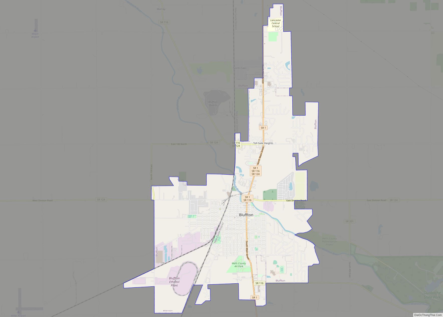
Bluffton is a city in Harrison and Lancaster townships, Wells County, in the U.S. state of Indiana. The population was 10,308 at the 2020 census and the estimated population is 10,431. The city is the county seat of Wells County. It is also part of Fort Wayne, Indiana’s metropolitan area. Bluffton city overview: Name: Bluffton ... Read more
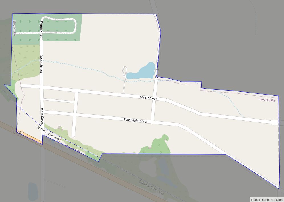
Blountsville is a town in Stoney Creek Township, Henry County, Indiana, United States. The population was 98 at the 2020 census. Blountsville town overview: Name: Blountsville town LSAD Code: 43 LSAD Description: town (suffix) State: Indiana County: Henry County Elevation: 1,099 ft (335 m) Total Area: 0.11 sq mi (0.30 km²) Land Area: 0.11 sq mi (0.29 km²) Water Area: 0.00 sq mi (0.00 km²) Total ... Read more
Bloomington is a city in and the county seat of Monroe County, Indiana, United States. It is the seventh-largest city in Indiana and the fourth-largest outside the Indianapolis metropolitan area. According to the Monroe County History Center, Bloomington is known as the “Gateway to Scenic Southern Indiana”. The city was established in 1818 by a ... Read more
Boston is a town in Boston Township, Wayne County, Indiana, United States. The population was 138 at the 2010 census. Boston town overview: Name: Boston town LSAD Code: 43 LSAD Description: town (suffix) State: Indiana County: Wayne County Elevation: 1,132 ft (345 m) Total Area: 0.22 sq mi (0.58 km²) Land Area: 0.22 sq mi (0.58 km²) Water Area: 0.00 sq mi (0.00 km²) Total Population: ... Read more
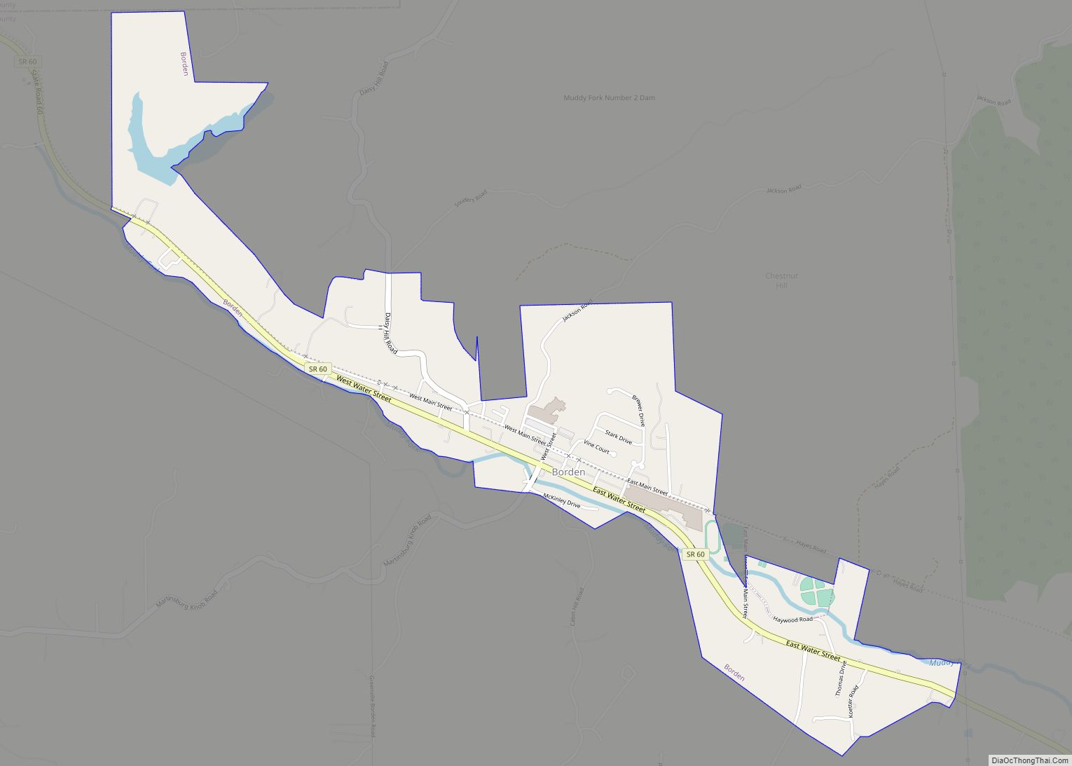
Borden is a town in Wood Township, Clark County, Indiana, United States. The population was 786 at the 2020 census. The town’s official name was New Providence until December 29, 1994. Borden town overview: Name: Borden town LSAD Code: 43 LSAD Description: town (suffix) State: Indiana County: Clark County Elevation: 561 ft (171 m) Total Area: 1.39 sq mi ... Read more
Boonville is a city in Boon Township, Warrick County, Indiana, United States. The population was 6,246 at the 2010 census. The city is the county seat of Warrick County. Boonville city overview: Name: Boonville city LSAD Code: 25 LSAD Description: city (suffix) State: Indiana County: Warrick County Elevation: 390 ft (120 m) Total Area: 5.77 sq mi (14.94 km²) Land ... Read more
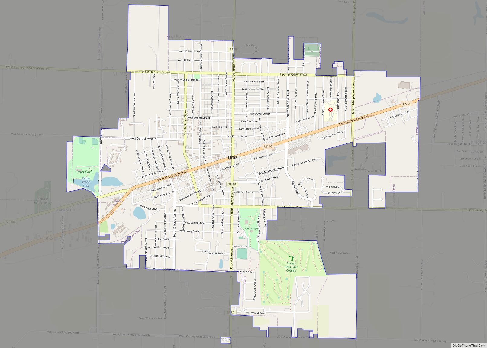
Brazil is a city in Clay County, Indiana, United States. The population was 7,912 at the 2010 census. The city is the county seat of Clay County. It is part of the Terre Haute Metropolitan Statistical Area. The current chief executive of Brazil is Mayor Brian Wyndham (Democrat). Brazil city overview: Name: Brazil city LSAD ... Read more
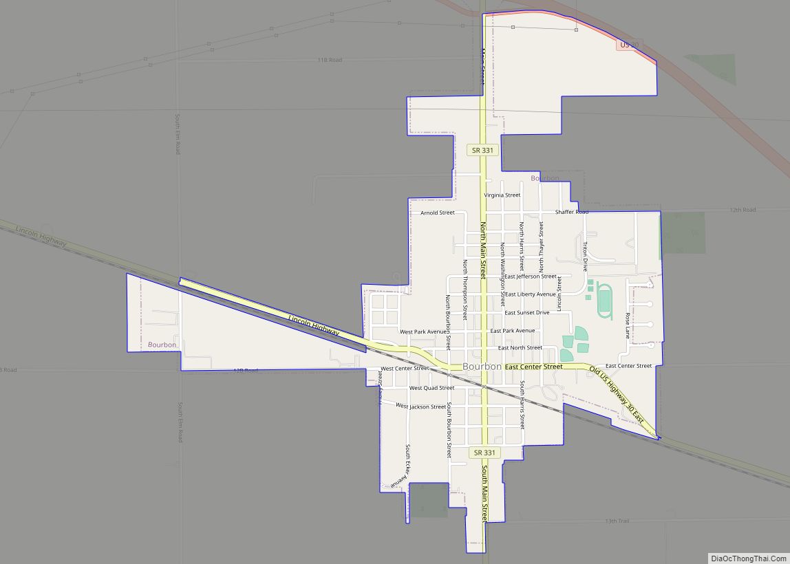
Bourbon is a town in Bourbon Township, Marshall County, Indiana, United States. The population was 1,698 at the 2020 census. Bourbon town overview: Name: Bourbon town LSAD Code: 43 LSAD Description: town (suffix) State: Indiana County: Marshall County Elevation: 843 ft (257 m) Total Area: 1.16 sq mi (2.99 km²) Land Area: 1.15 sq mi (2.98 km²) Water Area: 0.00 sq mi (0.01 km²) Total Population: ... Read more
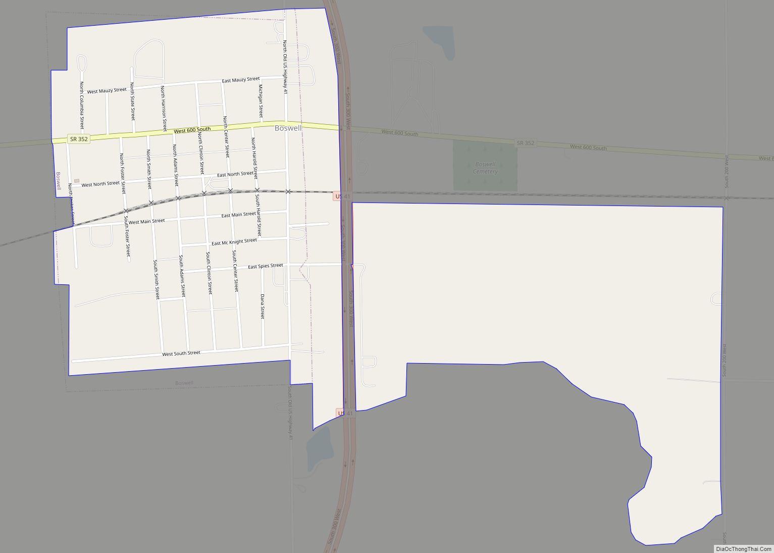
Boswell is a town in Grant Township, Benton County, Indiana, United States. The population was 778 at the 2010 census. It is part of the Lafayette, Indiana Metropolitan Statistical Area. Boswell town overview: Name: Boswell town LSAD Code: 43 LSAD Description: town (suffix) State: Indiana County: Benton County Founded: 1872 Elevation: 755 ft (230 m) Total Area: ... Read more
Bristol is a town in Washington Township, Elkhart County, Indiana, United States. The population was 1,602 at the 2010 census. Bristol town overview: Name: Bristol town LSAD Code: 43 LSAD Description: town (suffix) State: Indiana County: Elkhart County Elevation: 748 ft (228 m) Total Area: 4.16 sq mi (10.78 km²) Land Area: 4.02 sq mi (10.41 km²) Water Area: 0.14 sq mi (0.37 km²) Total Population: ... Read more
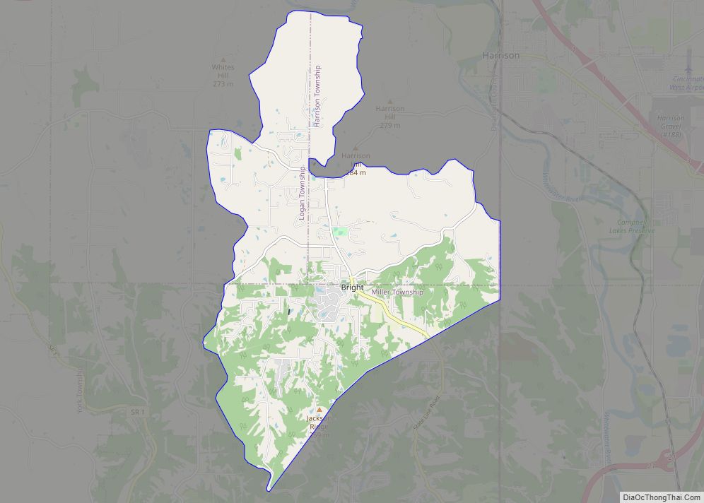
Bright is an unincorporated community and census-designated place (CDP) in Dearborn County, Indiana, United States. The population was 5,814 at the 2020 census. Bright CDP overview: Name: Bright CDP LSAD Code: 57 LSAD Description: CDP (suffix) State: Indiana County: Dearborn County Elevation: 922 ft (281 m) Total Area: 12.56 sq mi (32.53 km²) Land Area: 12.54 sq mi (32.48 km²) Water Area: 0.02 sq mi ... Read more
