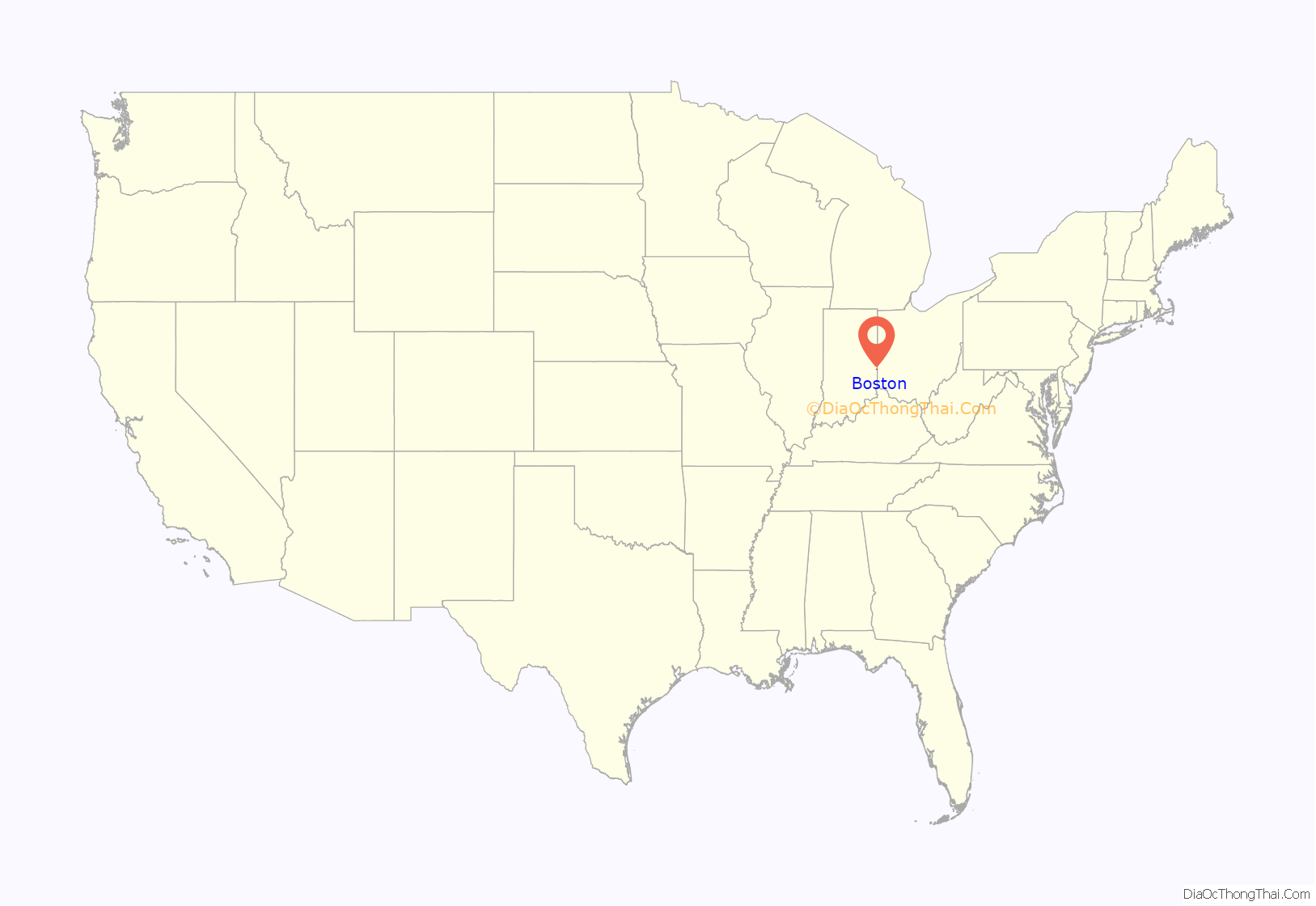
Boston is a town in Boston Township, Wayne County, Indiana, United States. The population was 138 at the 2010 census.
| Name: | Boston town |
|---|---|
| LSAD Code: | 43 |
| LSAD Description: | town (suffix) |
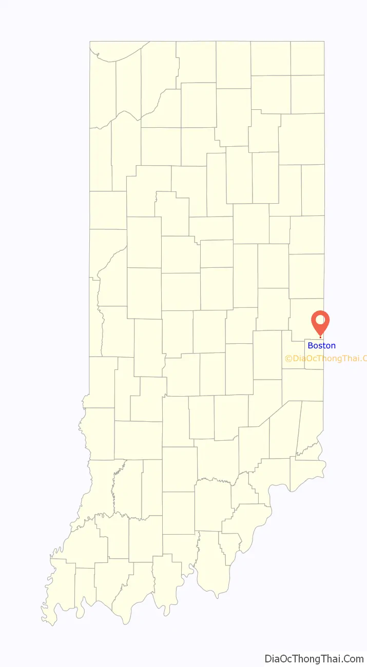
| State: | Indiana |
| County: | Wayne County |
| Elevation: | 1,132 ft (345 m) |
| Total Area: | 0.22 sq mi (0.58 km²) |
| Land Area: | 0.22 sq mi (0.58 km²) |
| Water Area: | 0.00 sq mi (0.00 km²) |
| Total Population: | 150 |
| Population Density: | 672.65/sq mi (259.65/km²) |
| ZIP code: | 47324 |
| Area code: | 765 |
| FIPS code: | 1806652 |
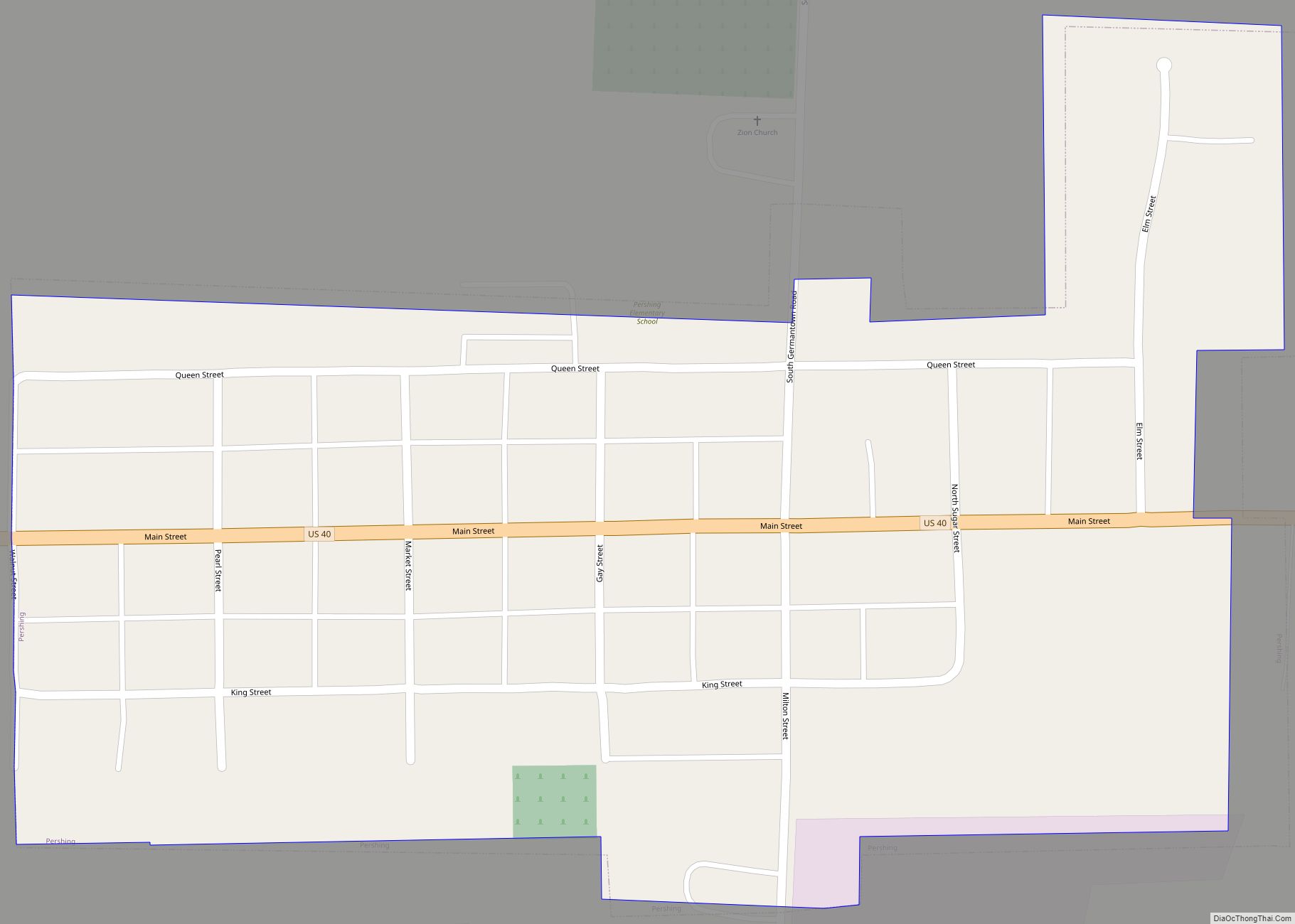
Online Interactive Map
Click on ![]() to view map in "full screen" mode.
to view map in "full screen" mode.
Boston location map. Where is Boston town?
History
Boston was named after Boston, Massachusetts.
Boston was originally called New Boston, and under the latter name was laid out and platted in 1832. The first post office in Boston was established in 1837.
On June 26, 1849, a cholera outbreak began, with the first death occurring the following day. Of the 120 residents at the time, 53 residents died over the following 5 weeks.
The Boston Township Council is composed of five members with a council president.
Boston Road Map
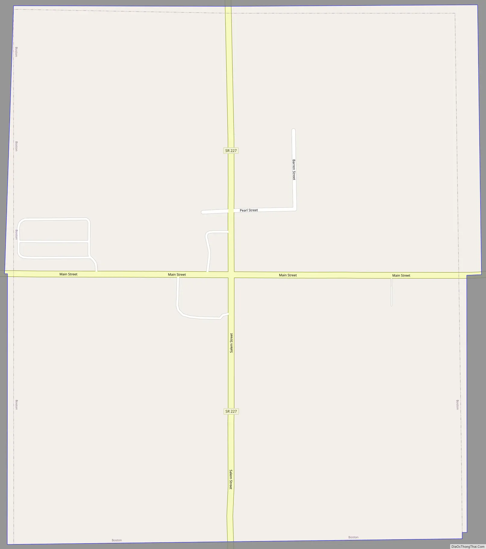
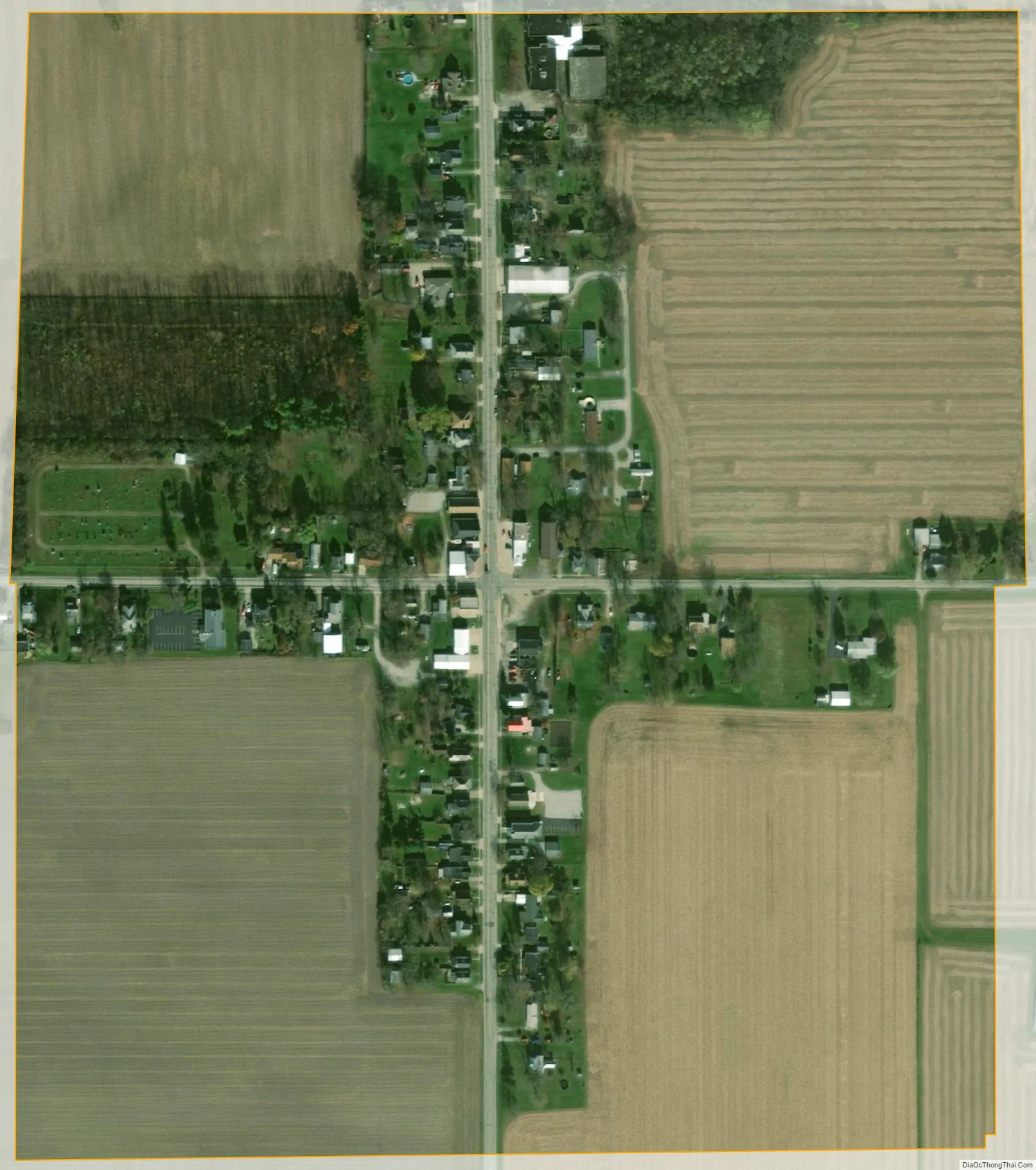
Boston city Satellite Map
Geography
According to the 2010 census, Boston has a total area of 0.21 square miles (0.54 km), all land.
See also
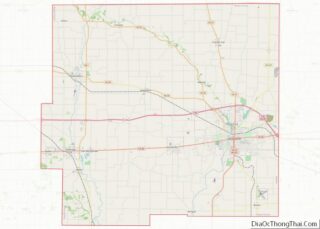
Map of Indiana State and its subdivision:- Adams
- Allen
- Bartholomew
- Benton
- Blackford
- Boone
- Brown
- Carroll
- Cass
- Clark
- Clay
- Clinton
- Crawford
- Daviess
- De Kalb
- Dearborn
- Decatur
- Delaware
- Dubois
- Elkhart
- Fayette
- Floyd
- Fountain
- Franklin
- Fulton
- Gibson
- Grant
- Greene
- Hamilton
- Hancock
- Harrison
- Hendricks
- Henry
- Howard
- Huntington
- Jackson
- Jasper
- Jay
- Jefferson
- Jennings
- Johnson
- Knox
- Kosciusko
- LaGrange
- Lake
- Lake Michigan
- LaPorte
- Lawrence
- Madison
- Marion
- Marshall
- Martin
- Miami
- Monroe
- Montgomery
- Morgan
- Newton
- Noble
- Ohio
- Orange
- Owen
- Parke
- Perry
- Pike
- Porter
- Posey
- Pulaski
- Putnam
- Randolph
- Ripley
- Rush
- Saint Joseph
- Scott
- Shelby
- Spencer
- Starke
- Steuben
- Sullivan
- Switzerland
- Tippecanoe
- Tipton
- Union
- Vanderburgh
- Vermillion
- Vigo
- Wabash
- Warren
- Warrick
- Washington
- Wayne
- Wells
- White
- Whitley
- Alabama
- Alaska
- Arizona
- Arkansas
- California
- Colorado
- Connecticut
- Delaware
- District of Columbia
- Florida
- Georgia
- Hawaii
- Idaho
- Illinois
- Indiana
- Iowa
- Kansas
- Kentucky
- Louisiana
- Maine
- Maryland
- Massachusetts
- Michigan
- Minnesota
- Mississippi
- Missouri
- Montana
- Nebraska
- Nevada
- New Hampshire
- New Jersey
- New Mexico
- New York
- North Carolina
- North Dakota
- Ohio
- Oklahoma
- Oregon
- Pennsylvania
- Rhode Island
- South Carolina
- South Dakota
- Tennessee
- Texas
- Utah
- Vermont
- Virginia
- Washington
- West Virginia
- Wisconsin
- Wyoming