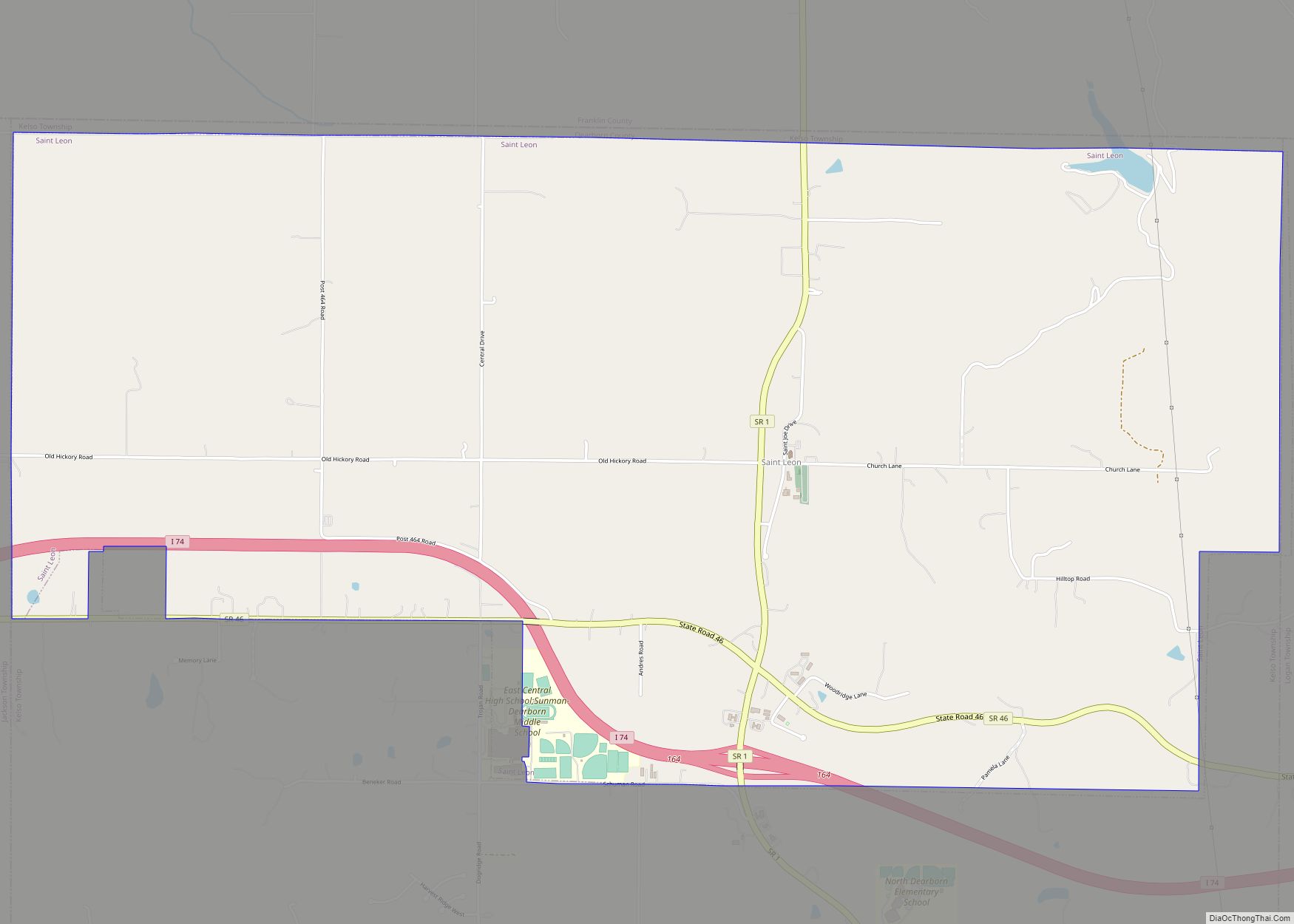
Bright is an unincorporated community and census-designated place (CDP) in Dearborn County, Indiana, United States. The population was 5,814 at the 2020 census.
| Name: | Bright CDP |
|---|---|
| LSAD Code: | 57 |
| LSAD Description: | CDP (suffix) |
| State: | Indiana |
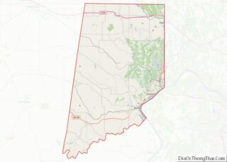
| County: | Dearborn County |
| Elevation: | 922 ft (281 m) |
| Total Area: | 12.56 sq mi (32.53 km²) |
| Land Area: | 12.54 sq mi (32.48 km²) |
| Water Area: | 0.02 sq mi (0.05 km²) |
| Total Population: | 5,814 |
| Population Density: | 463.60/sq mi (179.00/km²) |
| Area code: | 812 |
| FIPS code: | 1807624 |
| GNISfeature ID: | 0431525 |
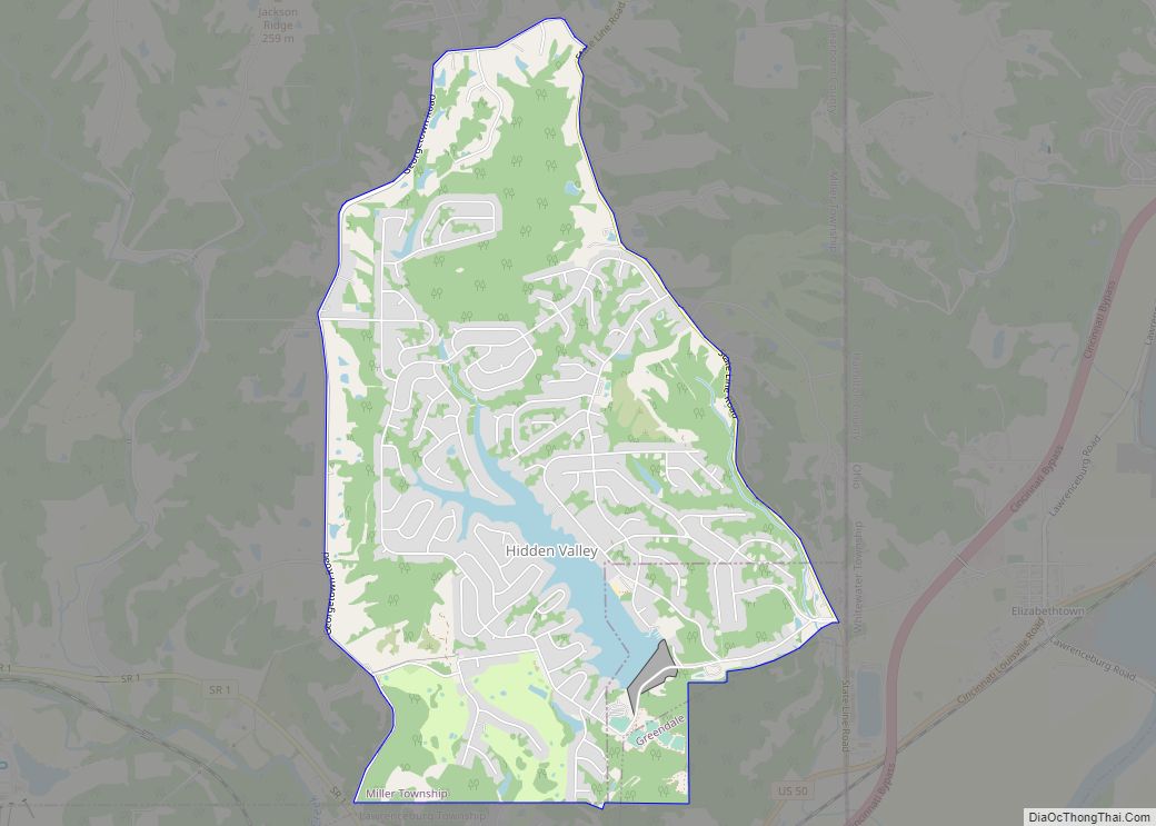
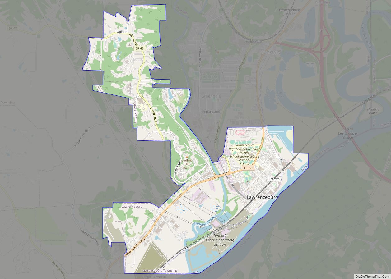
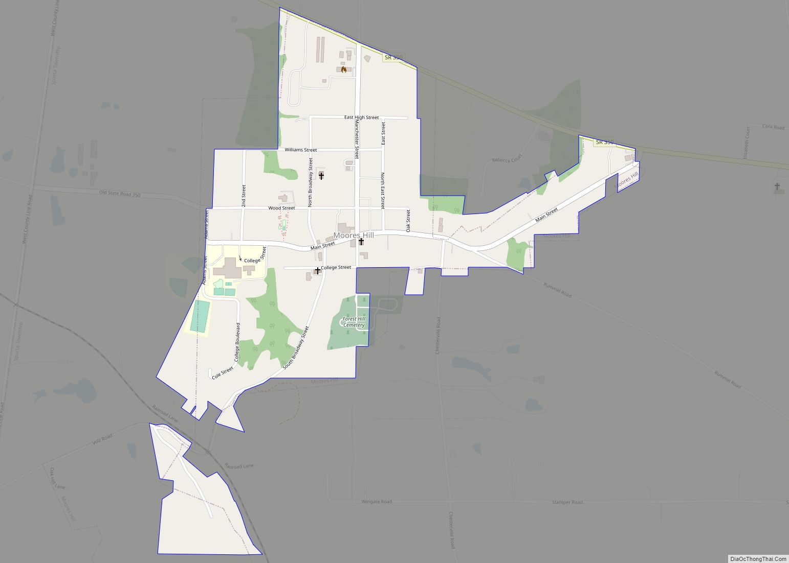
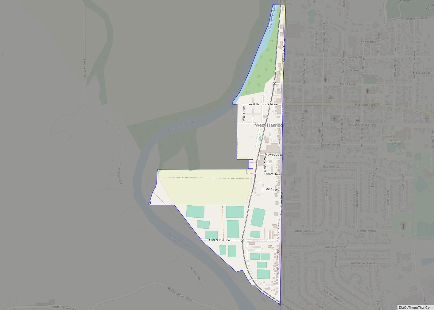
Online Interactive Map
Click on ![]() to view map in "full screen" mode.
to view map in "full screen" mode.
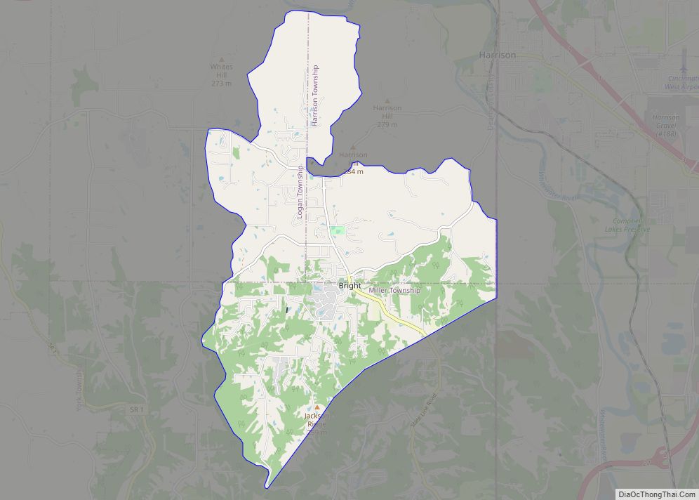
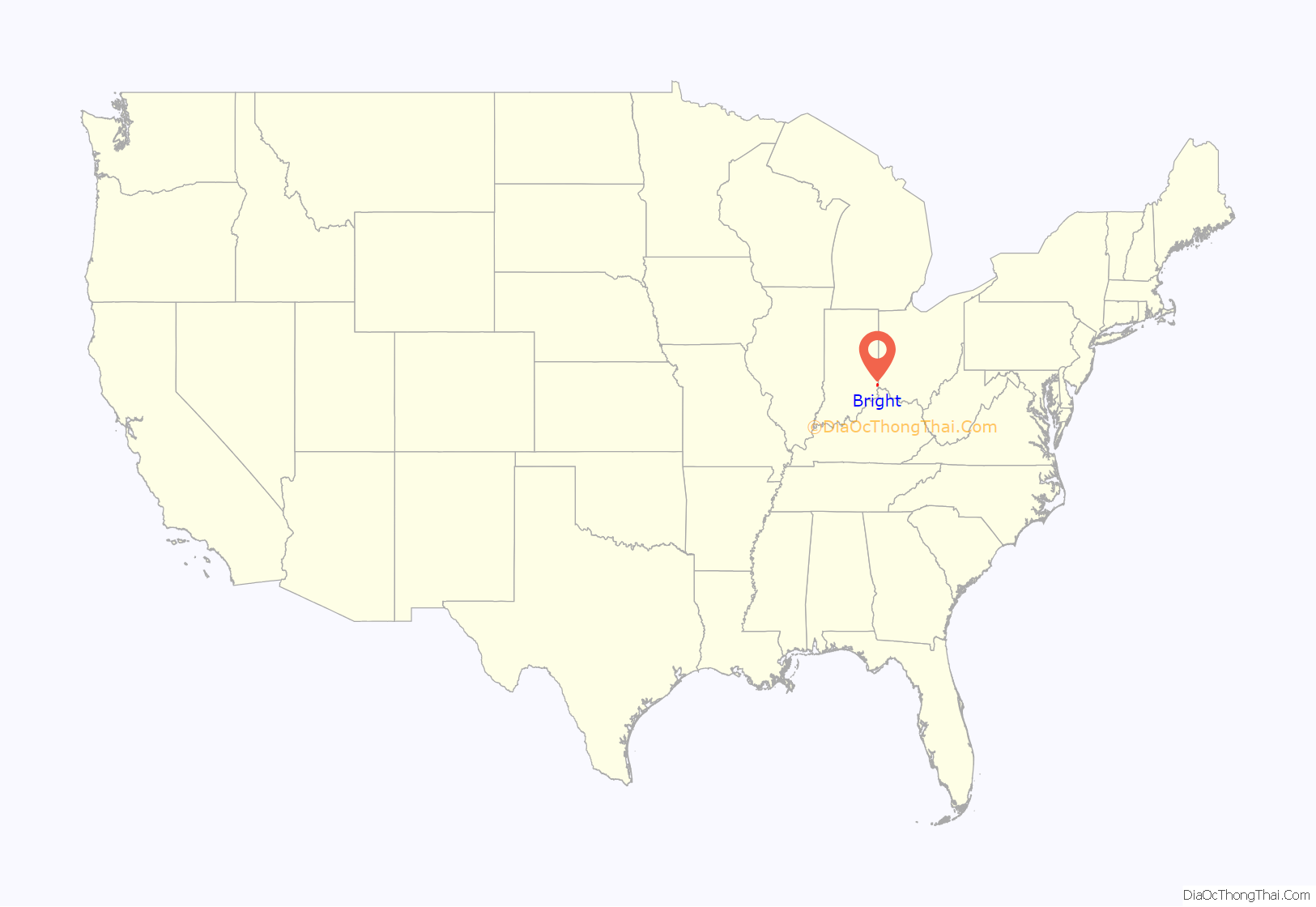
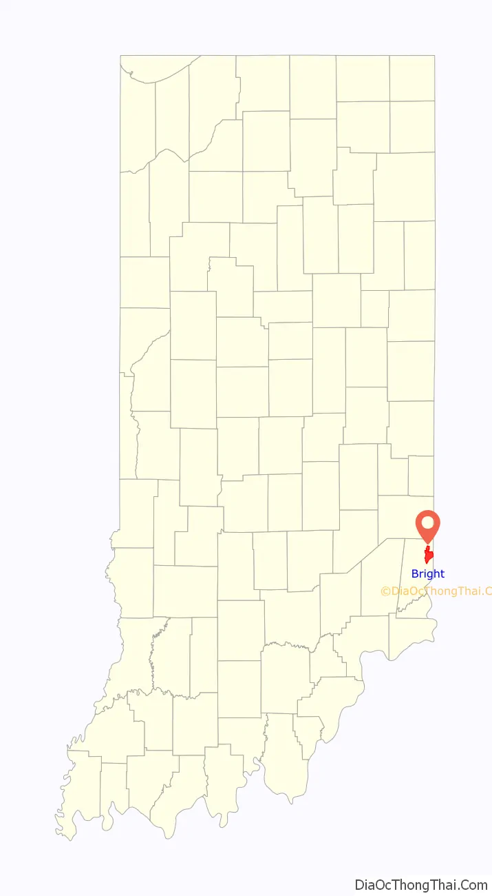
Bright location map. Where is Bright CDP?
History
A post office was established at Bright in 1847, and remained in operation until it was discontinued in 1904.
At least since the 1980s, Bright has been transformed from a small town to an exurb of Cincinnati.
Bright Road Map
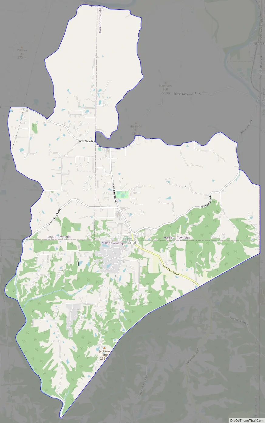
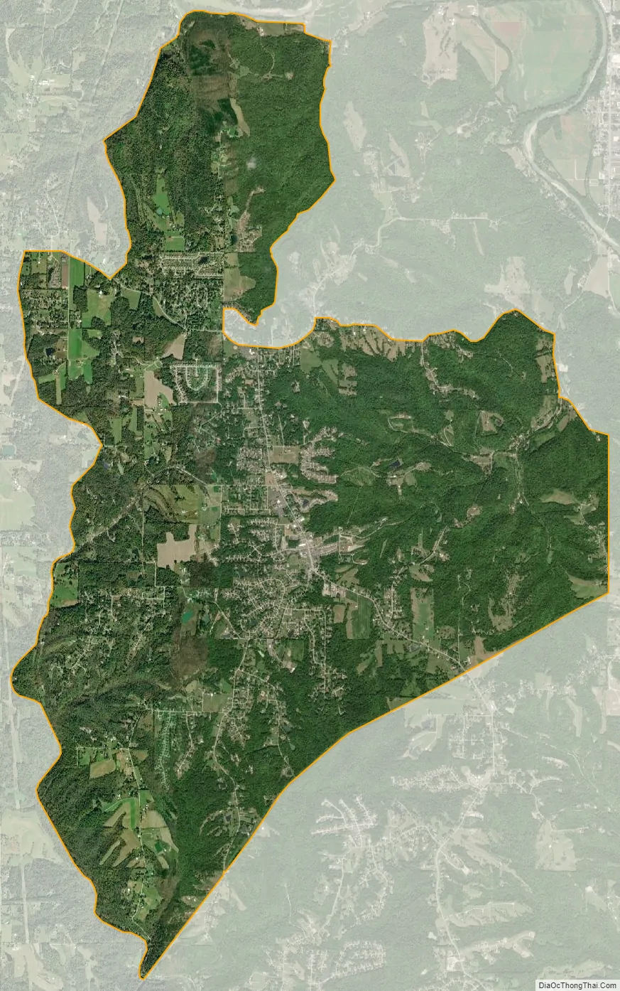
Bright city Satellite Map
Geography
Bright is located in northeastern Dearborn County at 39°13′5″N 84°51′44″W / 39.21806°N 84.86222°W / 39.21806; -84.86222 (39.218114, -84.862357), in Logan, Harrison, and Miller townships. The eastern edge of the Bright CDP follows the Indiana–Ohio border. Harrison, Ohio, is 4 miles (6 km) to the northeast via Jamison Road, and downtown Cincinnati is 27 miles (43 km) to the east.
According to the United States Census Bureau, the Bright CDP has a total area of 12.6 square miles (32.6 km), of which 0.02 square miles (0.05 km), or 0.15%, is water.
See also
Map of Indiana State and its subdivision:- Adams
- Allen
- Bartholomew
- Benton
- Blackford
- Boone
- Brown
- Carroll
- Cass
- Clark
- Clay
- Clinton
- Crawford
- Daviess
- De Kalb
- Dearborn
- Decatur
- Delaware
- Dubois
- Elkhart
- Fayette
- Floyd
- Fountain
- Franklin
- Fulton
- Gibson
- Grant
- Greene
- Hamilton
- Hancock
- Harrison
- Hendricks
- Henry
- Howard
- Huntington
- Jackson
- Jasper
- Jay
- Jefferson
- Jennings
- Johnson
- Knox
- Kosciusko
- LaGrange
- Lake
- Lake Michigan
- LaPorte
- Lawrence
- Madison
- Marion
- Marshall
- Martin
- Miami
- Monroe
- Montgomery
- Morgan
- Newton
- Noble
- Ohio
- Orange
- Owen
- Parke
- Perry
- Pike
- Porter
- Posey
- Pulaski
- Putnam
- Randolph
- Ripley
- Rush
- Saint Joseph
- Scott
- Shelby
- Spencer
- Starke
- Steuben
- Sullivan
- Switzerland
- Tippecanoe
- Tipton
- Union
- Vanderburgh
- Vermillion
- Vigo
- Wabash
- Warren
- Warrick
- Washington
- Wayne
- Wells
- White
- Whitley
- Alabama
- Alaska
- Arizona
- Arkansas
- California
- Colorado
- Connecticut
- Delaware
- District of Columbia
- Florida
- Georgia
- Hawaii
- Idaho
- Illinois
- Indiana
- Iowa
- Kansas
- Kentucky
- Louisiana
- Maine
- Maryland
- Massachusetts
- Michigan
- Minnesota
- Mississippi
- Missouri
- Montana
- Nebraska
- Nevada
- New Hampshire
- New Jersey
- New Mexico
- New York
- North Carolina
- North Dakota
- Ohio
- Oklahoma
- Oregon
- Pennsylvania
- Rhode Island
- South Carolina
- South Dakota
- Tennessee
- Texas
- Utah
- Vermont
- Virginia
- Washington
- West Virginia
- Wisconsin
- Wyoming