Bluffton is a city in Harrison and Lancaster townships, Wells County, in the U.S. state of Indiana. The population was 10,308 at the 2020 census and the estimated population is 10,431. The city is the county seat of Wells County. It is also part of Fort Wayne, Indiana’s metropolitan area.
| Name: | Bluffton city |
|---|---|
| LSAD Code: | 25 |
| LSAD Description: | city (suffix) |
| State: | Indiana |
| County: | Wells County |
| Elevation: | 813 ft (252 m) |
| Total Area: | 8.52 sq mi (22.06 km²) |
| Land Area: | 8.39 sq mi (21.72 km²) |
| Water Area: | 0.13 sq mi (0.34 km²) |
| Total Population: | 10,308 |
| Population Density: | 1,229.19/sq mi (474.57/km²) |
| ZIP code: | 46714 |
| Area code: | 260 |
| FIPS code: | 1806220 |
| Website: | www.ci.bluffton.in.us |
Online Interactive Map
Click on ![]() to view map in "full screen" mode.
to view map in "full screen" mode.
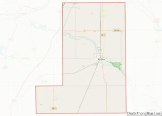
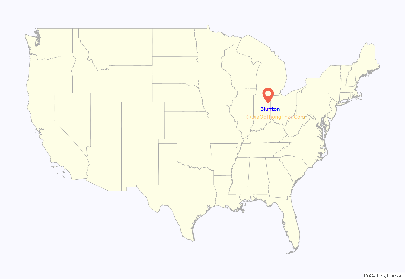
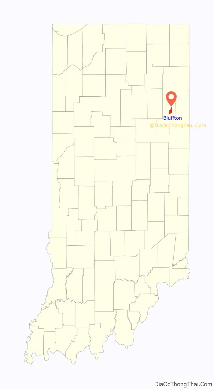
Bluffton location map. Where is Bluffton city?
History
Bluffton was platted in 1838 and incorporated in 1851 with 850 people, it was named for river bluffs near the original town site. The Bluffton post office has been in operation since 1839.
The City of Bluffton is nicknamed the “Parlor City” for its history of having some of the first clean paved streets in the area during the time of the Trenton Oil boom. Most streets at the time were dirt. The nickname came from the fact that the parlor in someone’s home at the time would be the cleanest room in the house because that is the first space that your guests see when they come into your home. Entering downtown today, the brand new Parlor City Plaza acts as the first thing you see, along with the historic courthouse, justifying the “Parlor City” nickname.
The City of Bluffton is also known for its historic residences throughout downtown, especially north of the area on Main Street. It was a major piano manufacturing town, and was home to nationally-renowned iris hybridizers, E.B. and Mary Williamson.
It is also home to the Bluffton Free Street Fair.
Bluffton was included in the corporate name of the short-lived Cincinnati, Bluffton and Chicago Railroad, founded in 1903. The railroad’s Bluffton bridge collapsed on May 22, 1913, and the struggling carrier went out of business shortly thereafter.
Bluffton is one of the first towns in Indiana, and across America, to both publicly acknowledge its history of exclusion as a sundown town and to promote itself as an inclusive town. In 2006, Bluffton was featured in USA Today as an inclusive town that was putting up welcoming, inclusive signs at all local schools as well as at the entrances of three state highways. Mayor Ted Ellis was noted in the article for his helping Bluffton become one of the first to join the National League of Cities’ Partnership for Working Toward Inclusive Communities.
The Stewart-Studebaker House, Villa North Historic District, and Wells County Courthouse are listed on the National Register of Historic Places. The John A. Grove House is formerly listed.
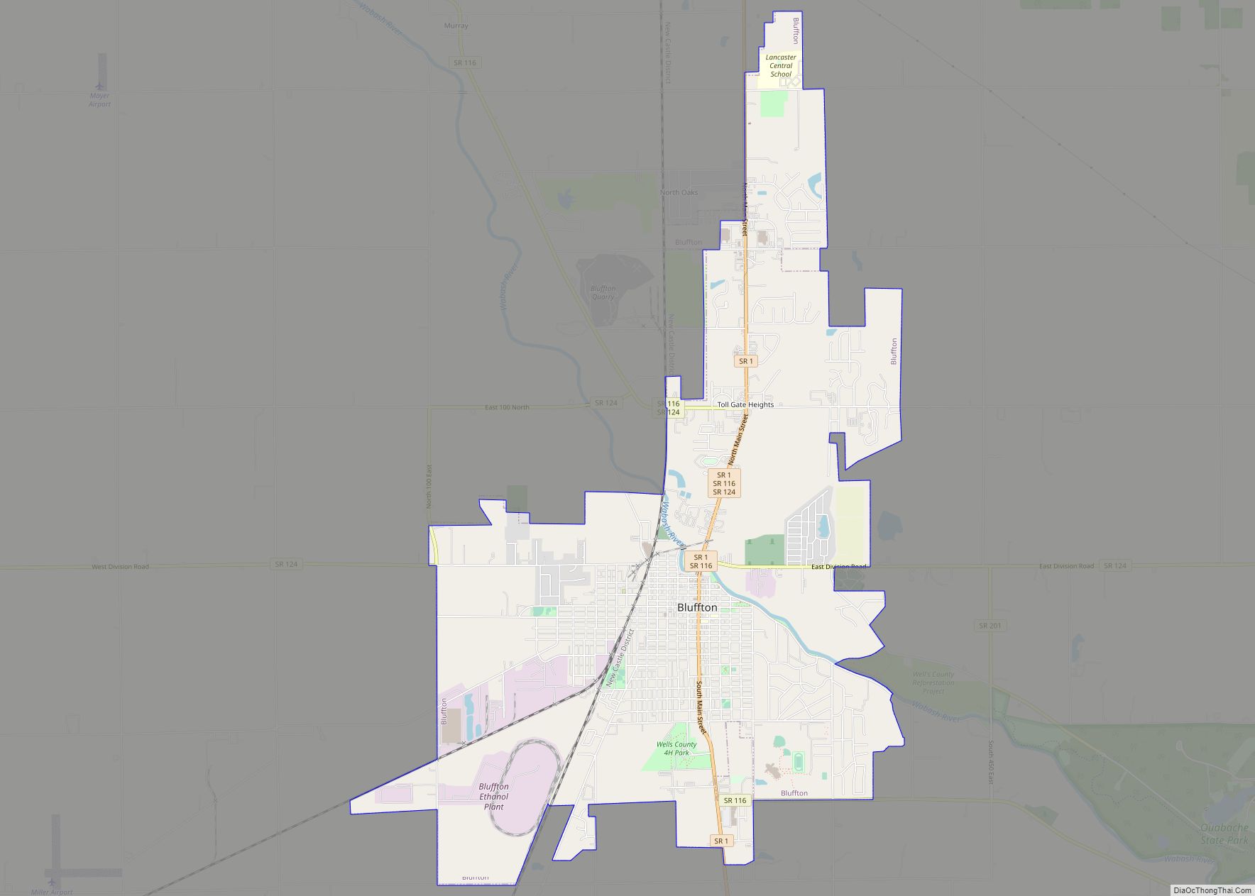
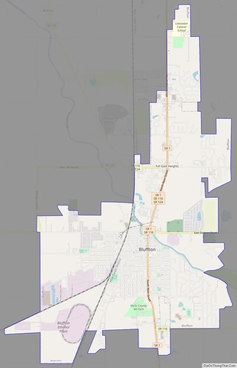
Bluffton Road Map
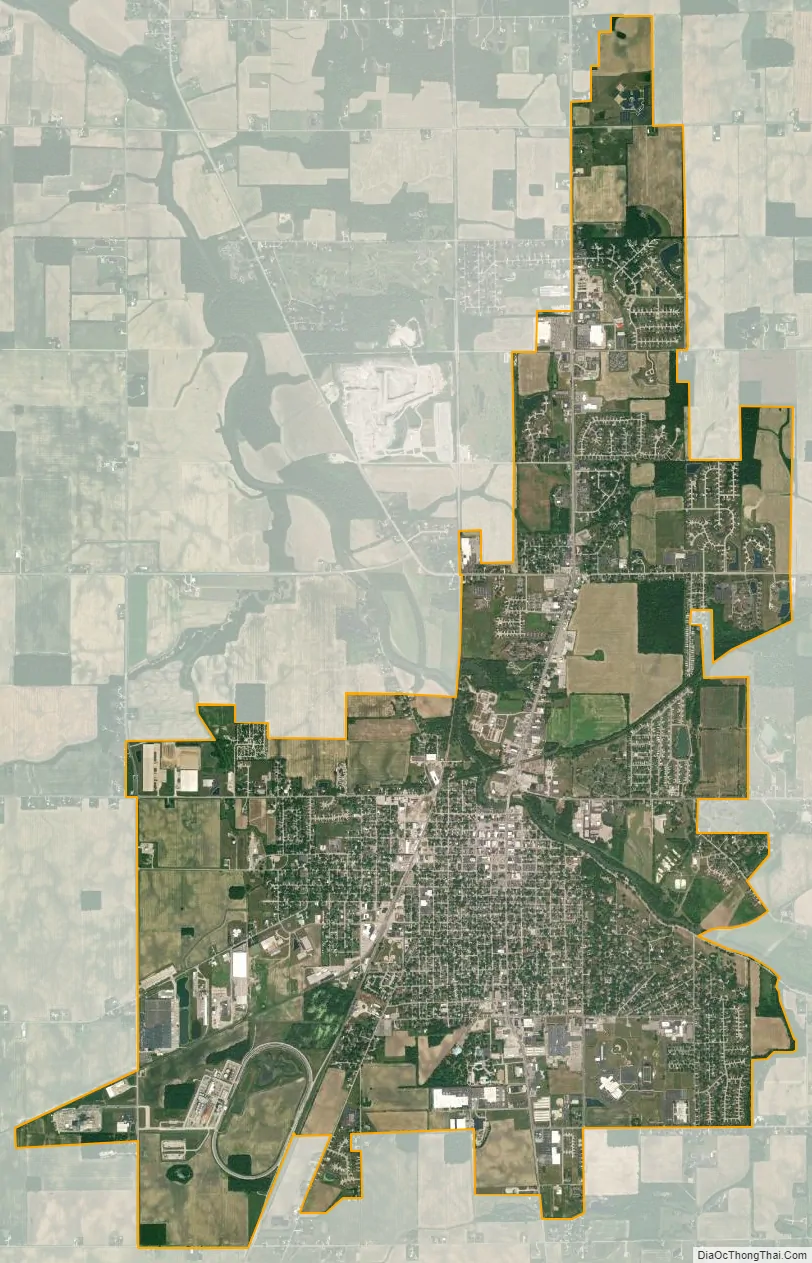
Bluffton city Satellite Map
Geography
Bluffton is located at 40°44′17″N 85°10′20″W / 40.73806°N 85.17222°W / 40.73806; -85.17222 (40.737991, -85.172223).
According to the 2010 census, Bluffton has a total area of 8.359 square miles (21.65 km), of which 8.23 square miles (21.32 km) (or 98.46%) is land and 0.129 square miles (0.33 km) (or 1.54%) is water.
See also
Map of Indiana State and its subdivision:- Adams
- Allen
- Bartholomew
- Benton
- Blackford
- Boone
- Brown
- Carroll
- Cass
- Clark
- Clay
- Clinton
- Crawford
- Daviess
- De Kalb
- Dearborn
- Decatur
- Delaware
- Dubois
- Elkhart
- Fayette
- Floyd
- Fountain
- Franklin
- Fulton
- Gibson
- Grant
- Greene
- Hamilton
- Hancock
- Harrison
- Hendricks
- Henry
- Howard
- Huntington
- Jackson
- Jasper
- Jay
- Jefferson
- Jennings
- Johnson
- Knox
- Kosciusko
- LaGrange
- Lake
- Lake Michigan
- LaPorte
- Lawrence
- Madison
- Marion
- Marshall
- Martin
- Miami
- Monroe
- Montgomery
- Morgan
- Newton
- Noble
- Ohio
- Orange
- Owen
- Parke
- Perry
- Pike
- Porter
- Posey
- Pulaski
- Putnam
- Randolph
- Ripley
- Rush
- Saint Joseph
- Scott
- Shelby
- Spencer
- Starke
- Steuben
- Sullivan
- Switzerland
- Tippecanoe
- Tipton
- Union
- Vanderburgh
- Vermillion
- Vigo
- Wabash
- Warren
- Warrick
- Washington
- Wayne
- Wells
- White
- Whitley
- Alabama
- Alaska
- Arizona
- Arkansas
- California
- Colorado
- Connecticut
- Delaware
- District of Columbia
- Florida
- Georgia
- Hawaii
- Idaho
- Illinois
- Indiana
- Iowa
- Kansas
- Kentucky
- Louisiana
- Maine
- Maryland
- Massachusetts
- Michigan
- Minnesota
- Mississippi
- Missouri
- Montana
- Nebraska
- Nevada
- New Hampshire
- New Jersey
- New Mexico
- New York
- North Carolina
- North Dakota
- Ohio
- Oklahoma
- Oregon
- Pennsylvania
- Rhode Island
- South Carolina
- South Dakota
- Tennessee
- Texas
- Utah
- Vermont
- Virginia
- Washington
- West Virginia
- Wisconsin
- Wyoming