Bloomington is a city in and the county seat of Monroe County, Indiana, United States. It is the seventh-largest city in Indiana and the fourth-largest outside the Indianapolis metropolitan area. According to the Monroe County History Center, Bloomington is known as the “Gateway to Scenic Southern Indiana”. The city was established in 1818 by a group of settlers from Kentucky, Tennessee, the Carolinas, and Virginia who were so impressed with “a haven of blooms” that they called it Bloomington.
The population was 79,168 at the 2020 census.
Bloomington is the home to Indiana University Bloomington, the flagship campus of the IU System. Established in 1820, IU Bloomington has 45,328 students, as of September 2021, and is the original and largest campus of Indiana University. Most of the campus buildings are built of Indiana limestone.
Bloomington has been designated a Tree City since 1984. The city was also the location of the Academy Award–winning 1979 movie Breaking Away, featuring a reenactment of Indiana University’s annual Little 500 bicycle race.
| Name: | Bloomington city |
|---|---|
| LSAD Code: | 25 |
| LSAD Description: | city (suffix) |
| State: | Indiana |
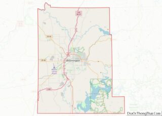
| County: | Monroe County |
| Elevation: | 771 ft (235 m) |
| Land Area: | 23.25 sq mi (60.22 km²) |
| Water Area: | 0.18 sq mi (0.48 km²) |
| Population Density: | 3,405.08/sq mi (1,314.72/km²) |
| Area code: | 812 & 930 |
| FIPS code: | 1805860 |
| Website: | www.bloomington.in.gov |
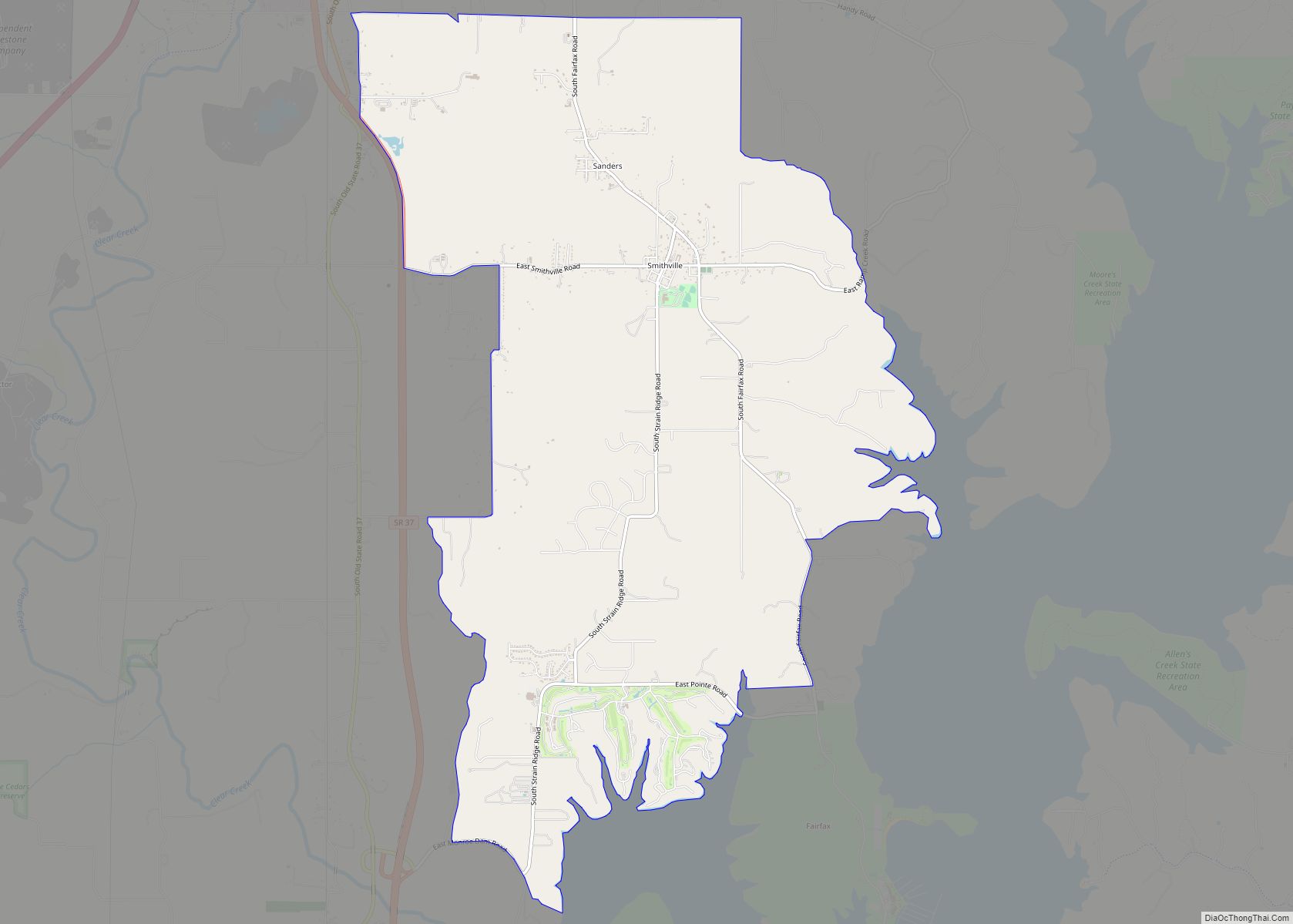
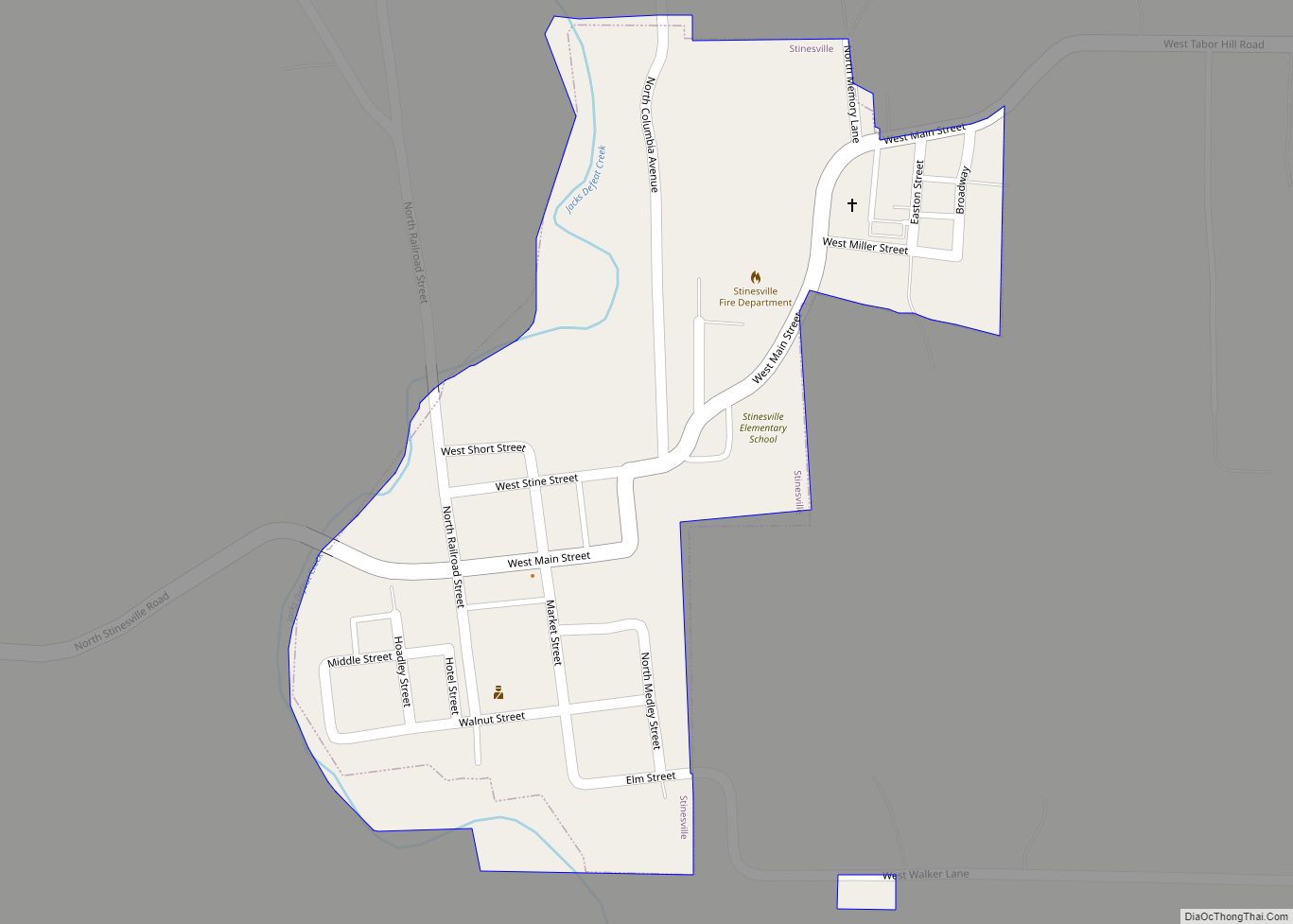
Online Interactive Map
Click on ![]() to view map in "full screen" mode.
to view map in "full screen" mode.
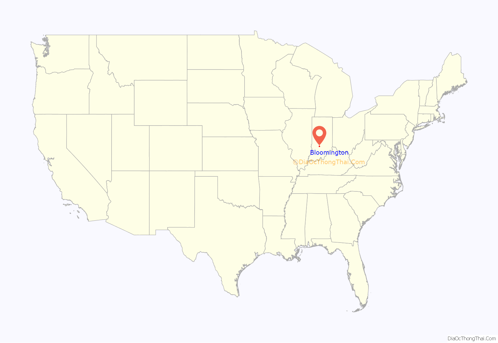
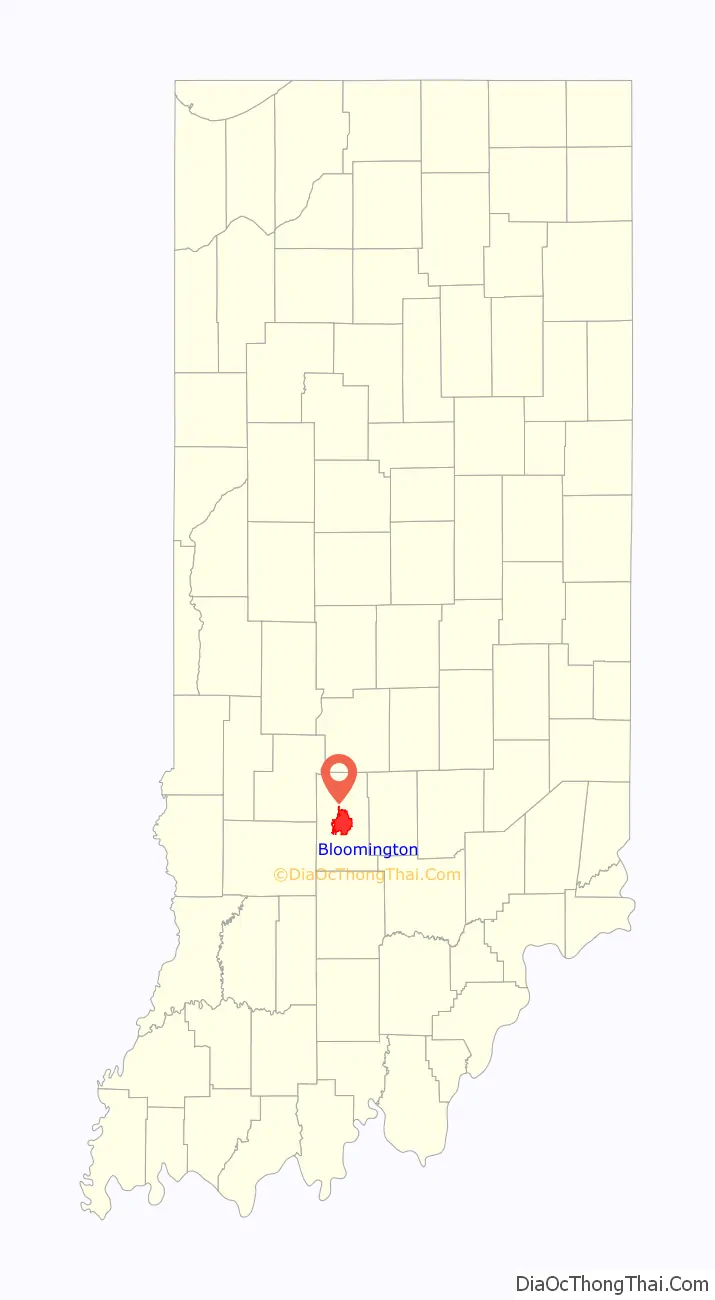
Bloomington location map. Where is Bloomington city?
History
The area in which Bloomington is situated was previously inhabited by the Delaware, Potawatomi, Miami, and Eel River Miami.
Bloomington was platted in 1818. A post office has been in operation at Bloomington since 1825. Bloomington was incorporated in 1827.
The current city logo was adopted on January 6, 1986, by the Bloomington Common Council. It was a combination of peony and trout lily, inspired by both quilt patterns used by regional folk artists in 19th century and the shape of Downtown Square.
The Elias Abel House, Blair-Dunning House, Bloomington City Hall, Bloomington West Side Historic District, Cantol Wax Company Building, Coca-Cola Bottling Plant, Cochran-Helton-Lindley House, Courthouse Square Historic District, Hinkle-Garton Farmstead, Home Laundry Company, Illinois Central Railroad Freight Depot, Johnson’s Creamery, Legg House, Millen House, Millen-Chase-McCalla House, Monroe Carnegie Library, Monroe County Courthouse, Morgan House, J.L. Nichols House and Studio, North Washington Street Historic District, The Old Crescent, Princess Theatre, Prospect Hill Historic District, Second Baptist Church, Seminary Square Park, Steele Dunning Historic District, University Courts Historic District, Vinegar Hill Historic District, Wicks Building, Woolery Stone Company, and Andrew Wylie House are listed on the National Register of Historic Places.
Many African Americans moved to Bloomington from Virginia, North Carolina, South Carolina, Ohio, Tennessee and Kentucky during the 1860s through the 1880s. Bloomington also attracted Scotch-Irish Presbyterians from South Carolina.
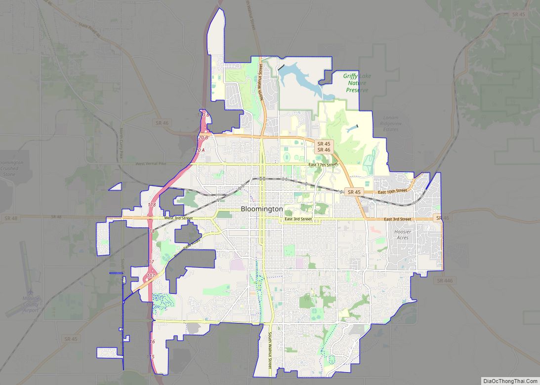
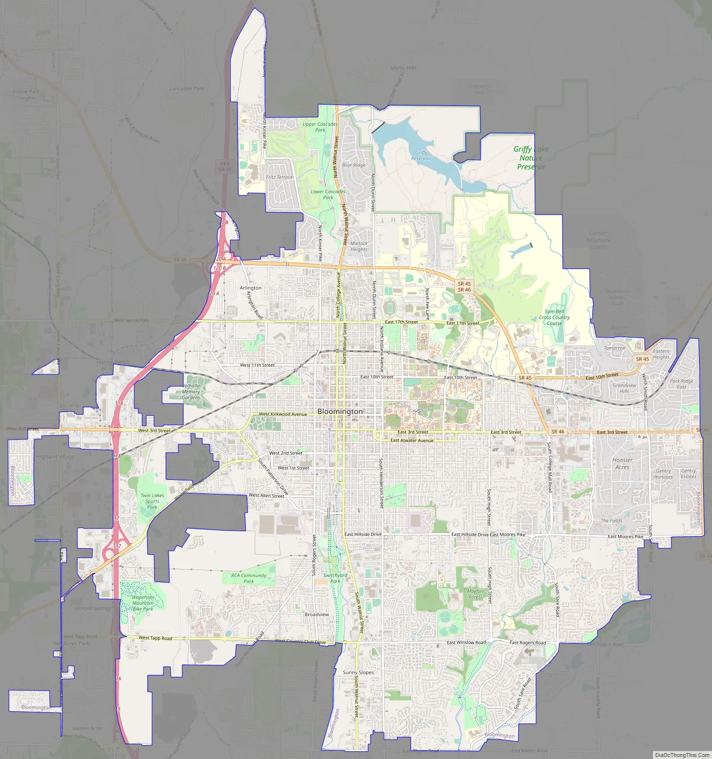
Bloomington Road Map
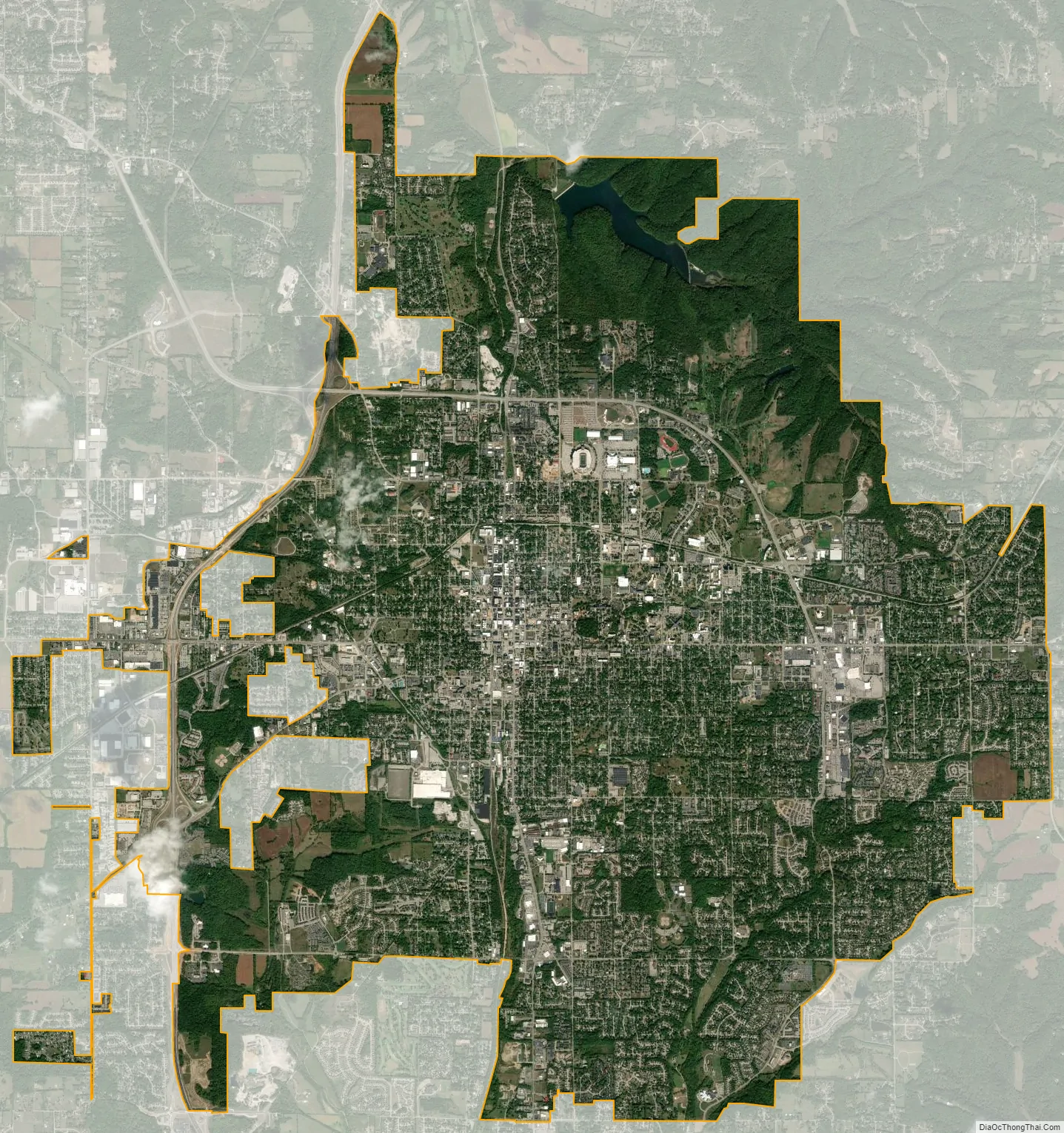
Bloomington city Satellite Map
Geography
According to the 2010 census, Bloomington has a total area of 23.359 square miles (60.50 km), of which 23.16 square miles (59.98 km) (or 99.15%) is land and 0.199 square miles (0.52 km) (or 0.85%) is water.
Climate
Southern Indiana receives an abundance of rain, with a yearly average of nearly 50 inches.
Geology
Bloomington is an area of irregular limestone terrain characterized by sinks, ravines, fissures, underground streams, sinking streams, springs and caves. It is in the rolling hills of southern Indiana, resting on the intersection of the Norman Uplands and the Mitchell Plain. The city’s relatively varied topography is a sharp contrast to the flatter terrain more typical of central to northern portions of Indiana.
Water
Bloomington is on comparatively high ground, the summit of the divide between the basins of the West Fork and East Fork of Indiana’s White River. Accordingly, there are no major watercourses within the city, nor is much groundwater available for wells. The largest stream within the city is Clear Creek, with its eastern branch known on the Indiana University campus as “The Campus River”.
Because natural lakes or rivers or groundwater are absent from the city and its environs, a number of dams have been constructed on nearby creeks over the last 100 years to provide for the water needs of Bloomington and Monroe County. Early 20th-century damming projects occurred at locations southwest of the city, the most notable being the Leonard Springs Dam. Because of the limestone formations underlying the reservoirs and the dams, water kept seeping from the reservoirs through naturally developing underground channels. Despite all efforts, the city was never able to fully stop the leakage and had to resort to pumping leaking water back to the reservoir.
By the 1920s, a more radical solution was needed to deal with the water crisis. A new reservoir, known as Griffy Lake, was constructed in a more geologically suitable area north of the city. (It is now within Bloomington’s official city limits.) Later, in the 1950s, two much larger reservoirs, Lake Lemon and Monroe Lake were created in the northeastern and southeastern parts of Monroe County. Monroe Lake was created by the US Army Corps of Engineers for flood control but has since been used to supply the city and the county with water. The water pumping station at Griffy Lake was mothballed until May 2020.
Presently, the city is supplied with drinking water from Monroe Lake, via the Monroe Water Treatment Plant on S. Shields Ridge Rd. Originally opened in 1967, it was expanded in 2014, and now is capable of producing 30 million gallons of water per day. The sewer water from the northern part of the city is treated at the Blucher Poole Wastewater Treatment Plant (constructed 1968) and discharged into the Bean Blossom Creek. The sewer water from the southern half of the city goes to Dillman Road Wastewater Treatment Plant (constructed 1982) and is then discharged into the Clear Creek.
Environment
PCB pollution, associated with Westinghouse’s operations, long was a concern in the area. A number of sites, in particular, Bennett’s Dump and Lemon Lane Landfill at the northwestern edge of the city and Neal’s Landfill in the county, were listed as Superfund sites. Clean-up operations at the Bennett Quarry site, started in 1983, were largely completed by 2000., while cleanups at the other sites were completed in 2012.
See also
Map of Indiana State and its subdivision:- Adams
- Allen
- Bartholomew
- Benton
- Blackford
- Boone
- Brown
- Carroll
- Cass
- Clark
- Clay
- Clinton
- Crawford
- Daviess
- De Kalb
- Dearborn
- Decatur
- Delaware
- Dubois
- Elkhart
- Fayette
- Floyd
- Fountain
- Franklin
- Fulton
- Gibson
- Grant
- Greene
- Hamilton
- Hancock
- Harrison
- Hendricks
- Henry
- Howard
- Huntington
- Jackson
- Jasper
- Jay
- Jefferson
- Jennings
- Johnson
- Knox
- Kosciusko
- LaGrange
- Lake
- Lake Michigan
- LaPorte
- Lawrence
- Madison
- Marion
- Marshall
- Martin
- Miami
- Monroe
- Montgomery
- Morgan
- Newton
- Noble
- Ohio
- Orange
- Owen
- Parke
- Perry
- Pike
- Porter
- Posey
- Pulaski
- Putnam
- Randolph
- Ripley
- Rush
- Saint Joseph
- Scott
- Shelby
- Spencer
- Starke
- Steuben
- Sullivan
- Switzerland
- Tippecanoe
- Tipton
- Union
- Vanderburgh
- Vermillion
- Vigo
- Wabash
- Warren
- Warrick
- Washington
- Wayne
- Wells
- White
- Whitley
- Alabama
- Alaska
- Arizona
- Arkansas
- California
- Colorado
- Connecticut
- Delaware
- District of Columbia
- Florida
- Georgia
- Hawaii
- Idaho
- Illinois
- Indiana
- Iowa
- Kansas
- Kentucky
- Louisiana
- Maine
- Maryland
- Massachusetts
- Michigan
- Minnesota
- Mississippi
- Missouri
- Montana
- Nebraska
- Nevada
- New Hampshire
- New Jersey
- New Mexico
- New York
- North Carolina
- North Dakota
- Ohio
- Oklahoma
- Oregon
- Pennsylvania
- Rhode Island
- South Carolina
- South Dakota
- Tennessee
- Texas
- Utah
- Vermont
- Virginia
- Washington
- West Virginia
- Wisconsin
- Wyoming