Map of Druid Hills city, Kentucky

Map of Druid Hills city, Kentucky

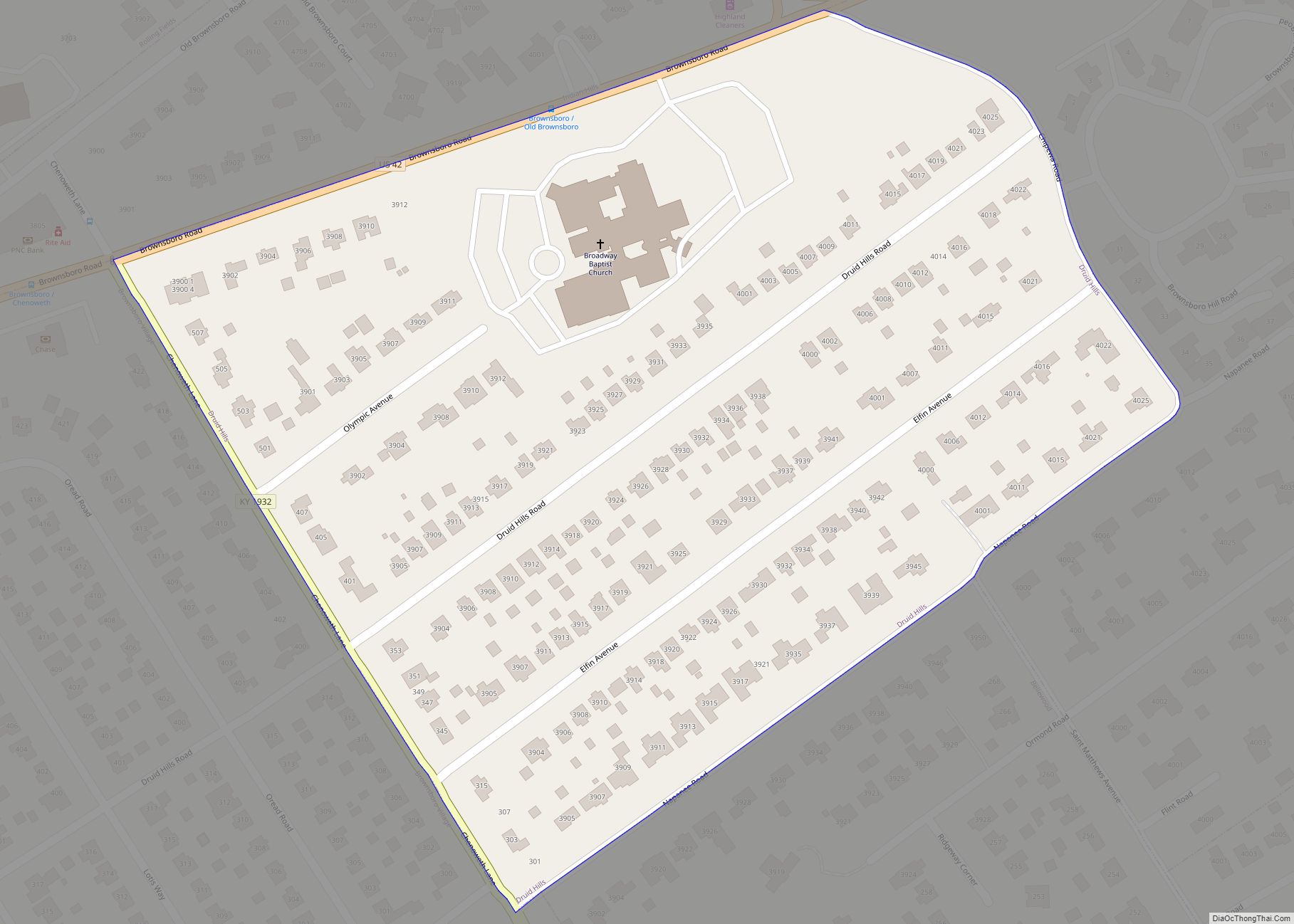
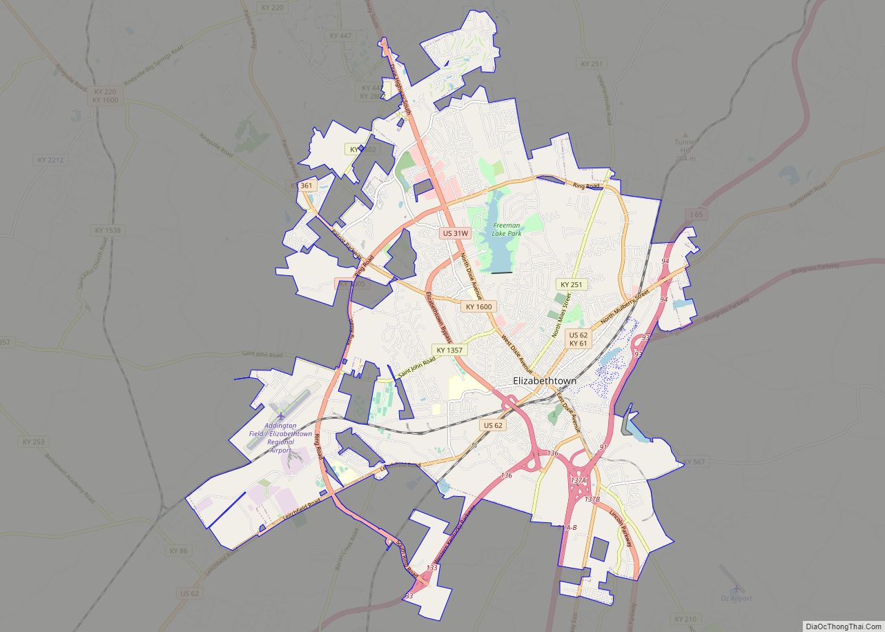
Druid Hills is a home rule-class city in Jefferson County, Kentucky, United States. The population was 308 at the 2010 census. It was incorporated in 1950. Druid Hills city overview: Name: Druid Hills city LSAD Code: 25 LSAD Description: city (suffix) State: Kentucky County: Jefferson County Elevation: 571 ft (174 m) Total Area: 0.09 sq mi (0.23 km²) Land Area: … Read more

Map of Earlington city

Map of Earlington city

Earlington is a home rule-class city in Hopkins County, Kentucky, in the United States. As of the 2010 census, the city had a population of 1,413, down from 1,649 at the 2000 census. Earlington city overview: Name: Earlington city LSAD Code: 25 LSAD Description: city (suffix) State: Kentucky County: Hopkins County Elevation: 423 ft (129 m) Total … Read more

Map of Dwale CDP

Map of Dwale CDP

Dwale is an unincorporated community and census-designated place in Floyd County, Kentucky, United States. The 2010 United States Census reported that Dwale’s population was 329, of which 312 persons were white and 9 persons were Asian. The origins of the name Dwale are unclear. Although it is said to have been named after a town … Read more

Map of East Bernstadt CDP

Map of East Bernstadt CDP

East Bernstadt is a census-designated place (CDP) and coal town in Laurel County, Kentucky, United States. The population was 716 at the 2010 census, down from 774 at the 2000 census. East Bernstadt CDP overview: Name: East Bernstadt CDP LSAD Code: 57 LSAD Description: CDP (suffix) State: Kentucky County: Laurel County Elevation: 1,198 ft (365 m) Total … Read more

Map of Edmonton city

Map of Edmonton city

Edmonton is a home rule-class city in and the county seat of Metcalfe County, Kentucky, United States. It is part of the Glasgow Micropolitan Statistical Area. The population was 1,671 at the 2020 census. Edmonton city overview: Name: Edmonton city LSAD Code: 25 LSAD Description: city (suffix) State: Kentucky County: Metcalfe County Elevation: 827 ft (252 m) … Read more

Map of Edgewood city, Kentucky

Map of Edgewood city, Kentucky

Edgewood is a home rule–class city in Kenton County, Kentucky, United States. The population was 8,575 at the 2010 census, down from 9,400 in 2000. It was named for an early homestead in Walker Estates. Edgewood was incorporated by act of the state assembly on November 15, 1948. Part of what was early Edgewood was … Read more

Map of Eddyville city, Kentucky

Map of Eddyville city, Kentucky

Eddyville is a home rule-class city in and the county seat of Lyon County, Kentucky, United States. The population was 2,554 at the 2010 census, up from 2,350 in 2000. The Kentucky State Penitentiary is located at Eddyville. The town is considered a tourist attraction because of its access to nearby Lake Barkley. Eddyville city … Read more

Map of Elizaville CDP

Map of Elizaville CDP

Elizaville is a census-designated place and unincorporated community in Fleming County, Kentucky, United States. Its population was 181 as of the 2010 census. Elizaville is located at the junction of Kentucky Route 32 and Kentucky Route 170, 5 miles (8.0 km) west of Flemingsburg. Elizaville has a post office with ZIP code 41037. Elizaville CDP overview: … Read more

Map of Elizabethtown city, Kentucky

Map of Elizabethtown city, Kentucky

Elizabethtown is a home rule-class city and the county seat of Hardin County, Kentucky, United States. The population was 28,531 at the 2010 census, and was estimated at 30,289 by the U.S. Census Bureau in 2019, making it the 11th-largest city in the state. It is included in (and the principal city of) the Elizabethtown–Fort … Read more

Map of Ekron city

Map of Ekron city

Ekron is a home rule-class city in Meade County, Kentucky, United States. The population was 175 at the 2020 census. Ekron city overview: Name: Ekron city LSAD Code: 25 LSAD Description: city (suffix) State: Kentucky County: Meade County Elevation: 656 ft (200 m) Total Area: 0.16 sq mi (0.42 km²) Land Area: 0.16 sq mi (0.42 km²) Water Area: 0.00 sq mi (0.00 km²) Total Population: … Read more

Map of Elkton city

Map of Elkton city, Kentucky

Elkton is a home rule-class city in and the county seat of Todd County, Kentucky, United States. The population was 2,062 at the 2010 census. Elkton city overview: Name: Elkton city LSAD Code: 25 LSAD Description: city (suffix) State: Kentucky County: Todd County Elevation: 623 ft (190 m) Total Area: 2.55 sq mi (6.61 km²) Land Area: 2.55 sq mi (6.60 km²) Water … Read more

Map of Elkhorn City city

Map of Elkhorn City

Elkhorn City is a home rule-class city in Pike County, Kentucky, in the United States. The population was 982 at the 2010 census. The city is located in proximity to the Breaks Interstate Park. Elkhorn City overview: Name: Elkhorn City LSAD Code: 25 LSAD Description: city (suffix) State: Kentucky County: Pike County Incorporated: November 4, … Read more