Elizabethtown is a home rule-class city and the county seat of Hardin County, Kentucky, United States. The population was 28,531 at the 2010 census, and was estimated at 30,289 by the U.S. Census Bureau in 2019, making it the 11th-largest city in the state. It is included in (and the principal city of) the Elizabethtown–Fort Knox, Kentucky Metropolitan Statistical Area, which is included in the Louisville/Jefferson County–Elizabethtown–Madison, Kentucky-Indiana Combined Statistical Area. The Elizabethtown Metropolitan area had a 2019 estimated population of 153,057, making it the 5th largest metropolitan area in the state.
| Name: | Elizabethtown city |
|---|---|
| LSAD Code: | 25 |
| LSAD Description: | city (suffix) |
| State: | Kentucky |
| County: | Hardin County |
| Elevation: | 725 ft (221 m) |
| Total Area: | 27.99 sq mi (72.49 km²) |
| Land Area: | 27.50 sq mi (71.22 km²) |
| Water Area: | 0.49 sq mi (1.27 km²) |
| Total Population: | 31,394 |
| Population Density: | 1,141.68/sq mi (440.81/km²) |
| ZIP code: | 42701–42702 |
| Area code: | 270 & 364 |
| FIPS code: | 2124274 |
| GNISfeature ID: | 0491640 |
| Website: | www.elizabethtownky.org |
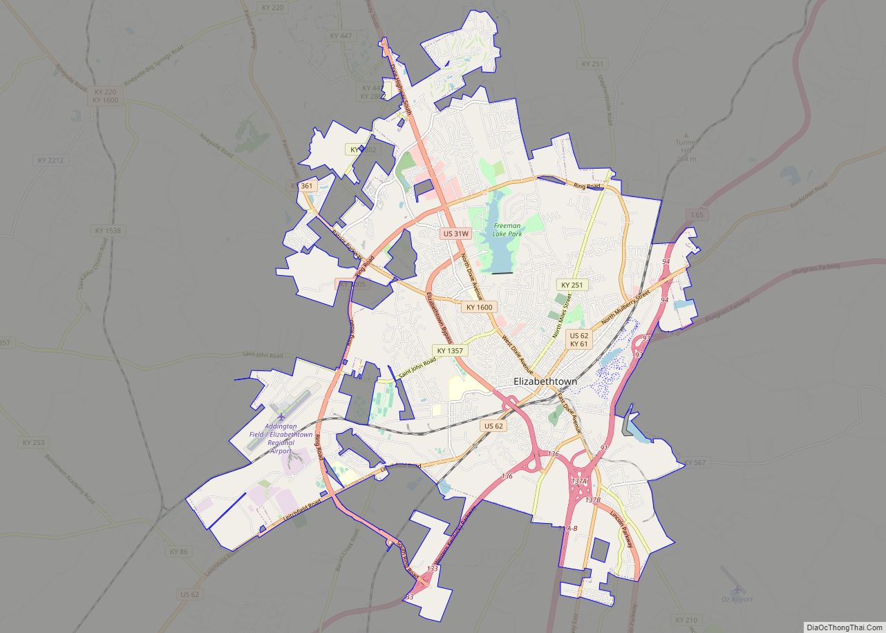
Online Interactive Map
Click on ![]() to view map in "full screen" mode.
to view map in "full screen" mode.
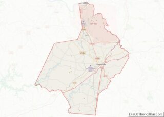
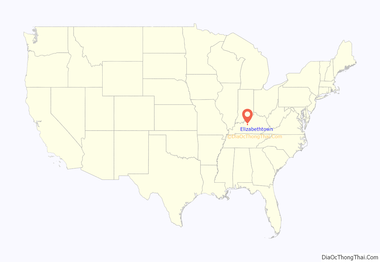
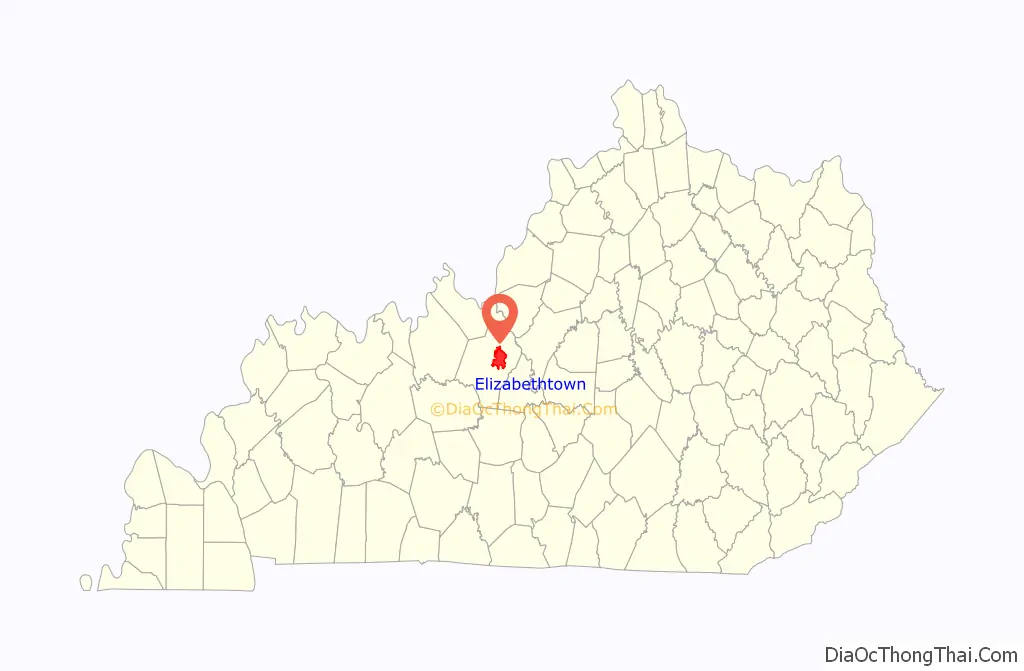
Elizabethtown location map. Where is Elizabethtown city?
History
Established in 1793, Hardin County was named for Colonel John Hardin, an Indian fighter who worked with tribes in the local area. In a few years, professional men and tradesmen came to live in the area. In 1793, Colonel Andrew Hynes had 30 acres (12 ha) (until then known as the “Severn’s Valley Settlement”) surveyed and laid off into lots and streets to establish Elizabethtown. Named in honor of his wife, Elizabethtown was legally established in 1797.
Thomas Lincoln helped Samuel Haycraft build a millrace at Haycraft’s mill on Valley Creek. After Lincoln married Nancy Hanks in 1806, they lived in a log cabin built in Elizabethtown. Their daughter, Sarah, was born there in 1807. Soon after, they moved to the Sinking Spring Farm, where Abraham Lincoln was born in 1809. Thomas Lincoln took his family to Indiana in 1816. After his wife died in 1818, he returned to Elizabethtown and married Sarah Bush Johnston, widowed since 1816. She and her three children accompanied Thomas back to Indiana, where Sarah was stepmother to Thomas’ two children.
On March 5, 1850, the Commonwealth of Kentucky granted a charter to the Louisville and Nashville Railroad Company authorizing it to raise funds and built a railroad from Louisville to the Tennessee state line in the direction of Nashville. John L. Helm, the grandson of Capt. Thomas Helm, became the president of the railroad in October 1854; he directed construction of the main stem of the rail line through Elizabethtown. The rail line was completed to Elizabethtown in 1858, with the first train arriving on June 15, 1858. The opening of the railroad brought economic growth to Elizabethtown, which became an important trade center along the railroad and a strategic point during the Civil War.
On December 27, 1862, Confederate General John Hunt Morgan and his 3,000-man cavalry attacked Elizabethtown. During the battle, more than 100 cannonballs were fired into the town. Although he successfully captured Elizabethtown, Morgan’s chief goal was to disrupt the railroad and northern transportation. He proceeded north along the railroad, burning trestles and destroying sections of the track. After the battle, one cannonball was found lodged in the side of a building on the public square. After the building burned in 1887 and was rebuilt, the cannonball was replaced in the side wall, as close to its original site as possible, where it remains in the present day. It is located in the Joey Lee building, which is located on the historic town square. The building is currently owned and houses the office of attorney Roger T. Rigney, it also features a plaquard noting the cannonball and the history behind it out front.
From 1871 to 1873 during the Reconstruction Era, the Seventh Cavalry and a battalion of the Fourth Infantry, led by General George Armstrong Custer, were stationed in Elizabethtown. The military were assigned to suppress the local Ku Klux Klan under the Enforcement Acts, as their members had been attacking freedmen and other Republicans. They also broke up illegal distilleries, which began to flourish in the South after the Civil War. General Custer and his wife Elizabeth lived in a small cottage behind Aunt Beck Hill’s boarding house, now known as the Brown-Pusey House.
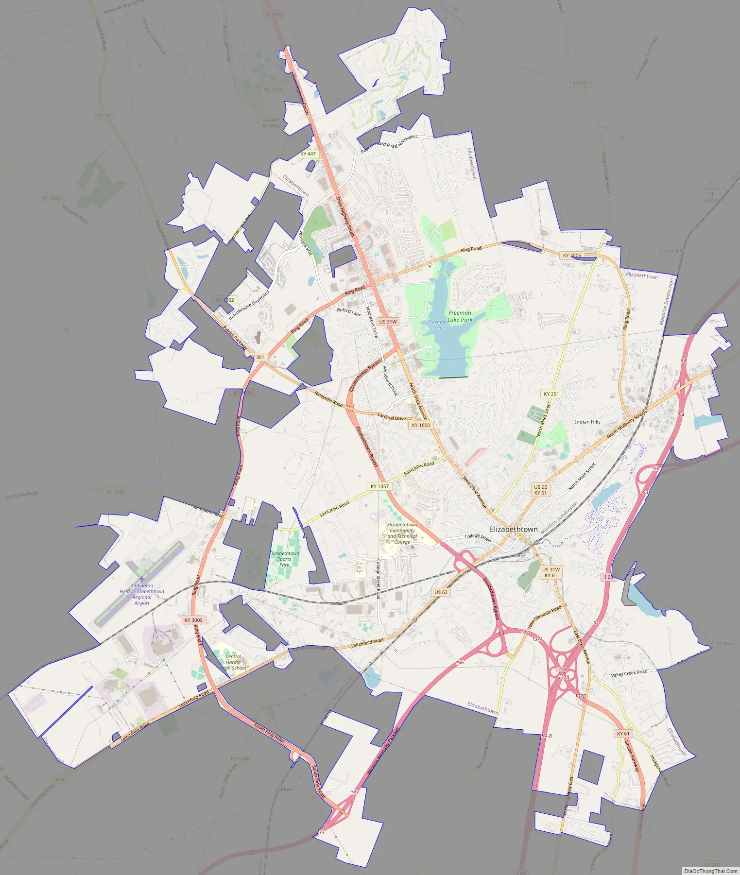
Elizabethtown Road Map
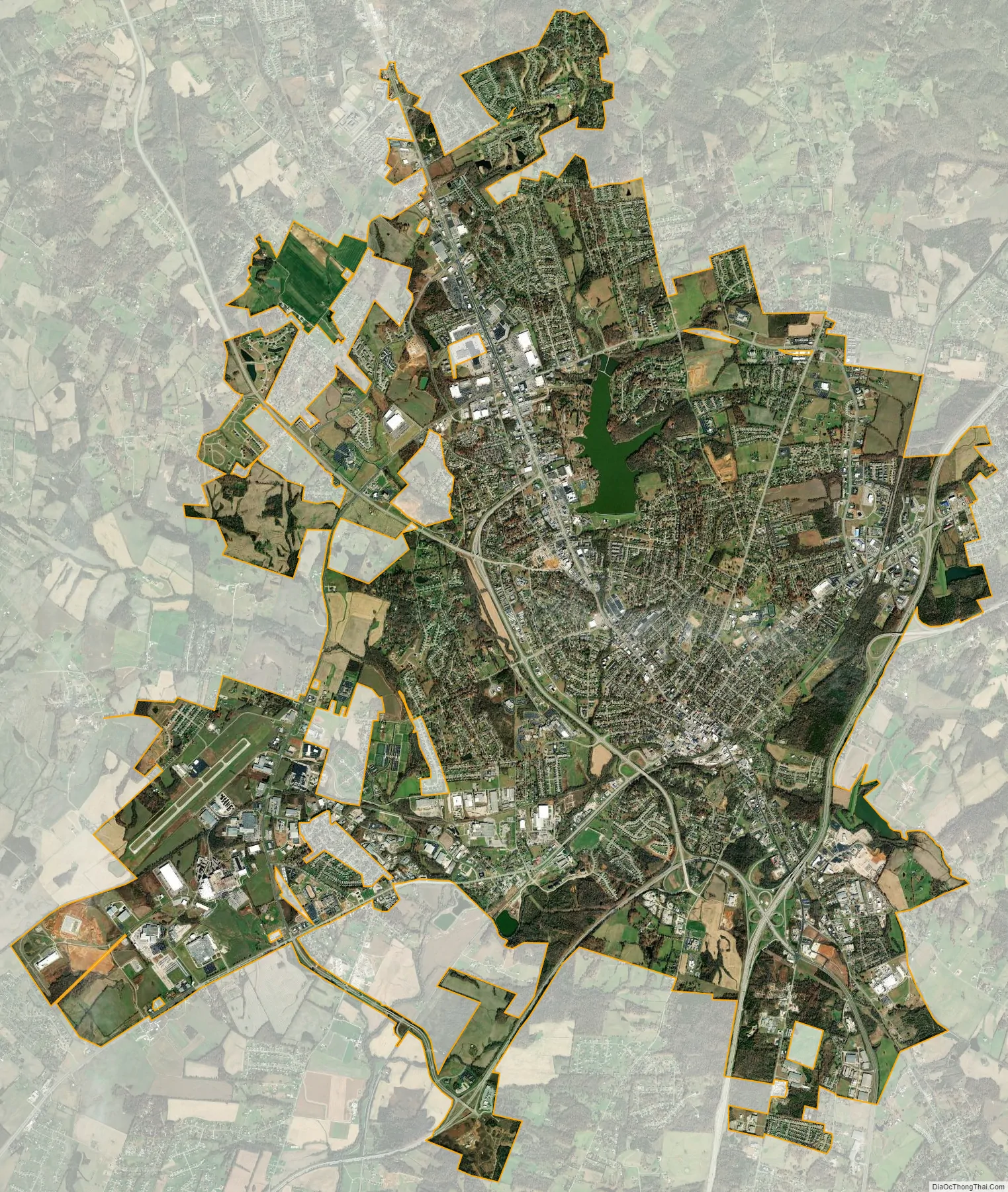
Elizabethtown city Satellite Map
Geography
Elizabethtown is in east-central Hardin County, about 15 miles (24 km) south of Fort Knox. Interstate 65 passes through the southeast side of the city, leading north-northeast 30 miles (48 km) to Louisville and southwest 80 miles (130 km) to Bowling Green. The Western Kentucky Parkway starts at I-65 in Elizabethtown and leads west 138 miles (222 km) to Eddyville. To the east, the Bluegrass Parkway leads 105 miles (169 km) to Lexington.
According to the United States Census Bureau, Elizabethtown has a total area of 25.8 square miles (67 km), of which 25.4 square miles (66 km) is land and 0.5 square miles (1 km) (1.77%) is water.
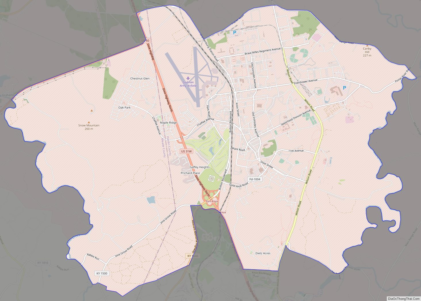
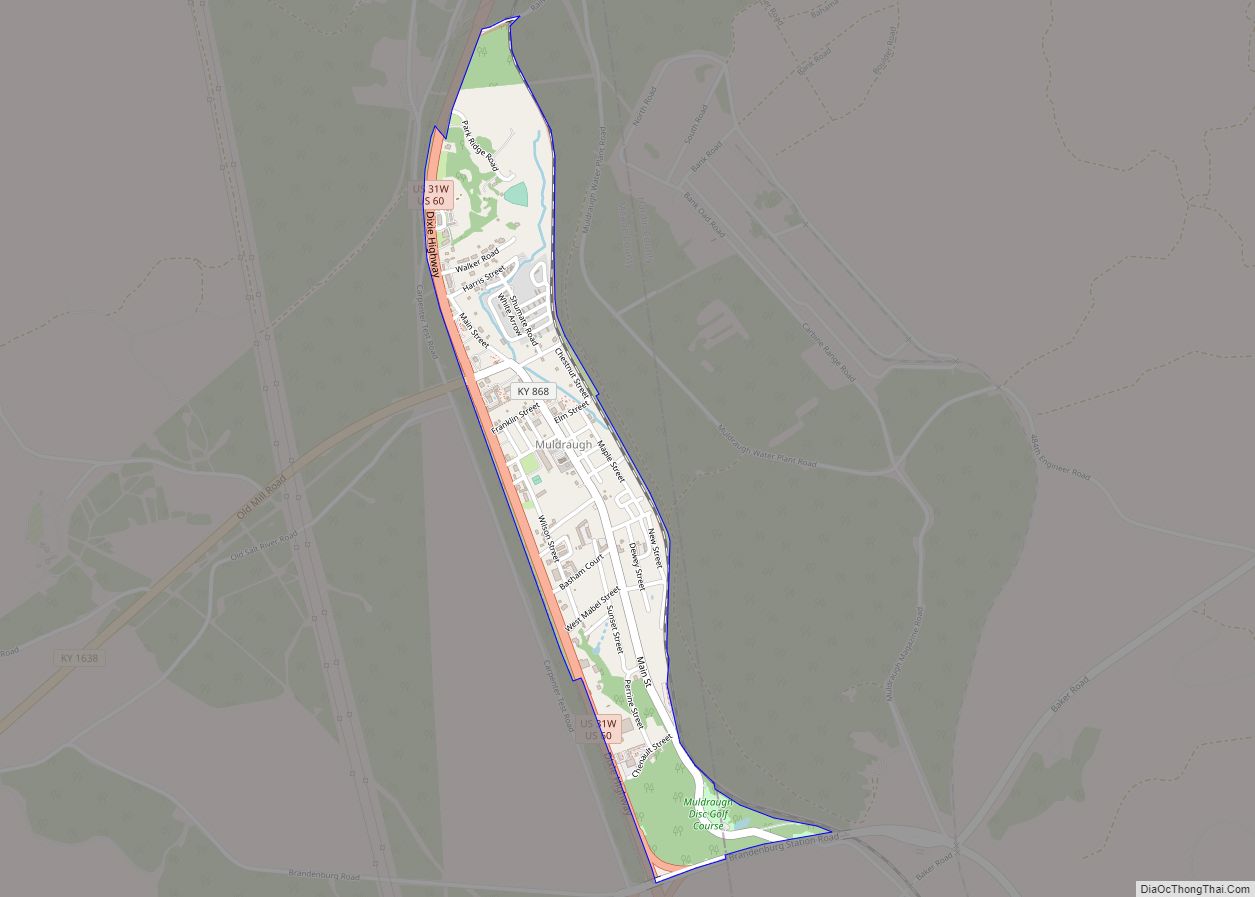
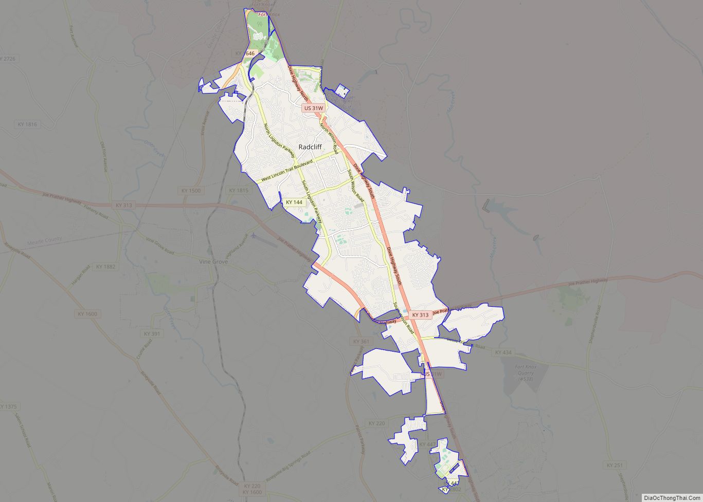
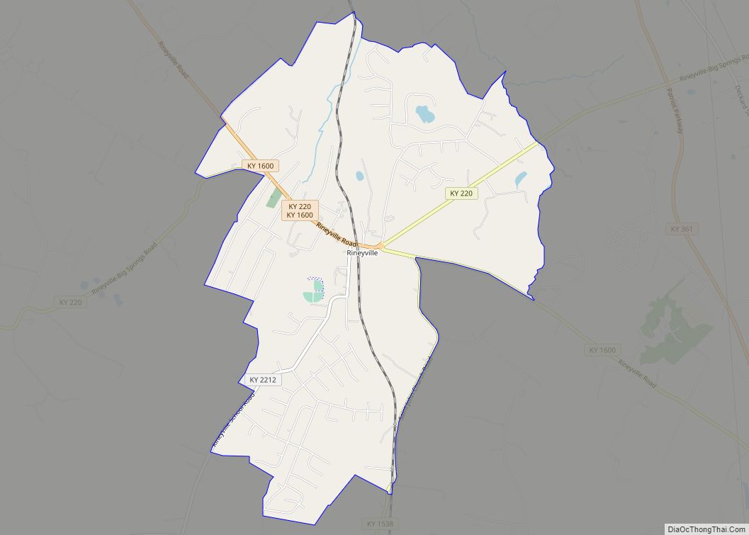
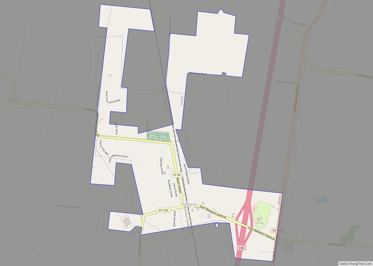
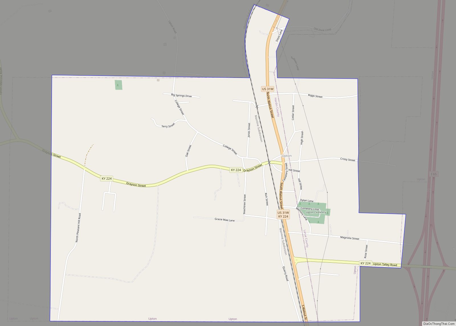
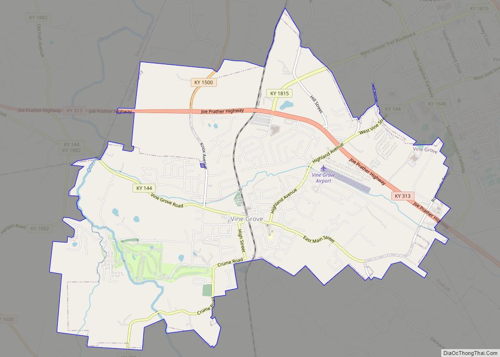
The Elizabethtown–Fort Knox metropolitan area consists of Hardin, Meade, and Larue counties, and includes Radcliff, a city about three-fourths the size of Elizabethtown; the housing areas of the Fort Knox Military Installation; the unincorporated town of Rineyville; and other communities such as Vine Grove, Glendale, Sonora, West Point, and Upton.
See also
Map of Kentucky State and its subdivision:- Adair
- Allen
- Anderson
- Ballard
- Barren
- Bath
- Bell
- Boone
- Bourbon
- Boyd
- Boyle
- Bracken
- Breathitt
- Breckinridge
- Bullitt
- Butler
- Caldwell
- Calloway
- Campbell
- Carlisle
- Carroll
- Carter
- Casey
- Christian
- Clark
- Clay
- Clinton
- Crittenden
- Cumberland
- Daviess
- Edmonson
- Elliott
- Estill
- Fayette
- Fleming
- Floyd
- Franklin
- Fulton
- Gallatin
- Garrard
- Grant
- Graves
- Grayson
- Green
- Greenup
- Hancock
- Hardin
- Harlan
- Harrison
- Hart
- Henderson
- Henry
- Hickman
- Hopkins
- Jackson
- Jefferson
- Jessamine
- Johnson
- Kenton
- Knott
- Knox
- Larue
- Laurel
- Lawrence
- Lee
- Leslie
- Letcher
- Lewis
- Lincoln
- Livingston
- Logan
- Lyon
- Madison
- Magoffin
- Marion
- Marshall
- Martin
- Mason
- McCracken
- McCreary
- McLean
- Meade
- Menifee
- Mercer
- Metcalfe
- Monroe
- Montgomery
- Morgan
- Muhlenberg
- Nelson
- Nicholas
- Ohio
- Oldham
- Owen
- Owsley
- Pendleton
- Perry
- Pike
- Powell
- Pulaski
- Robertson
- Rockcastle
- Rowan
- Russell
- Scott
- Shelby
- Simpson
- Spencer
- Taylor
- Todd
- Trigg
- Trimble
- Union
- Warren
- Washington
- Wayne
- Webster
- Whitley
- Wolfe
- Woodford
- Alabama
- Alaska
- Arizona
- Arkansas
- California
- Colorado
- Connecticut
- Delaware
- District of Columbia
- Florida
- Georgia
- Hawaii
- Idaho
- Illinois
- Indiana
- Iowa
- Kansas
- Kentucky
- Louisiana
- Maine
- Maryland
- Massachusetts
- Michigan
- Minnesota
- Mississippi
- Missouri
- Montana
- Nebraska
- Nevada
- New Hampshire
- New Jersey
- New Mexico
- New York
- North Carolina
- North Dakota
- Ohio
- Oklahoma
- Oregon
- Pennsylvania
- Rhode Island
- South Carolina
- South Dakota
- Tennessee
- Texas
- Utah
- Vermont
- Virginia
- Washington
- West Virginia
- Wisconsin
- Wyoming