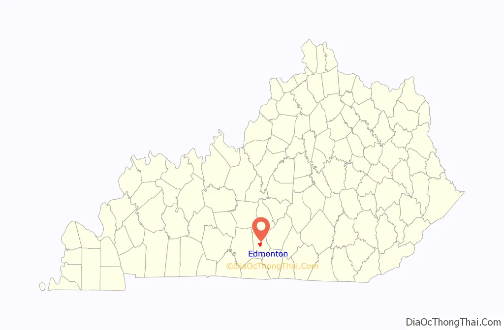
Edmonton is a home rule-class city in and the county seat of Metcalfe County, Kentucky, United States. It is part of the Glasgow Micropolitan Statistical Area. The population was 1,671 at the 2020 census.
| Name: | Edmonton city |
|---|---|
| LSAD Code: | 25 |
| LSAD Description: | city (suffix) |
| State: | Kentucky |
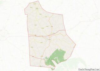
| County: | Metcalfe County |
| Elevation: | 827 ft (252 m) |
| Total Area: | 3.84 sq mi (9.96 km²) |
| Land Area: | 3.81 sq mi (9.86 km²) |
| Water Area: | 0.04 sq mi (0.10 km²) |
| Total Population: | 1,671 |
| Population Density: | 438.93/sq mi (169.47/km²) |
| ZIP code: | 42129 |
| Area code: | 270 & 364 |
| FIPS code: | 2123968 |
| GNISfeature ID: | 0491570 |
| Website: | cityofedmontonky.com |
Online Interactive Map
Click on ![]() to view map in "full screen" mode.
to view map in "full screen" mode.
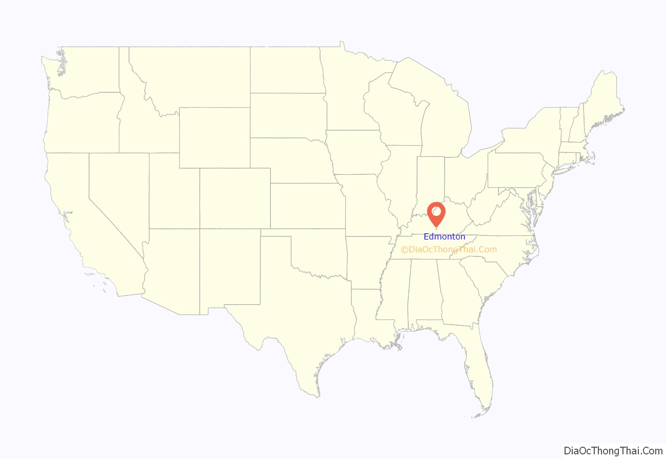
Edmonton location map. Where is Edmonton city?
History
The area was first surveyed in 1800. The city was established by the Kentucky legislature as a trading post in 1818 and was named the county seat in 1860. The post office first opened on February 18, 1830, and was named (though incorrectly spelled) for Edmund Rogers.
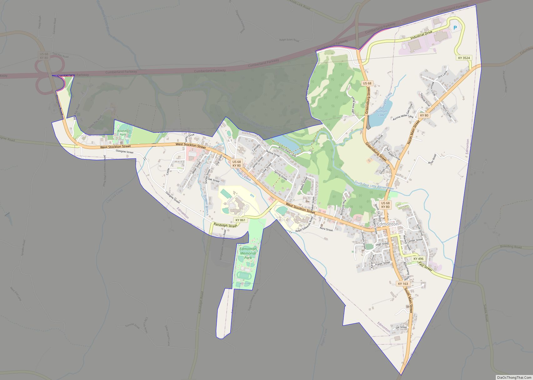
Edmonton Road Map

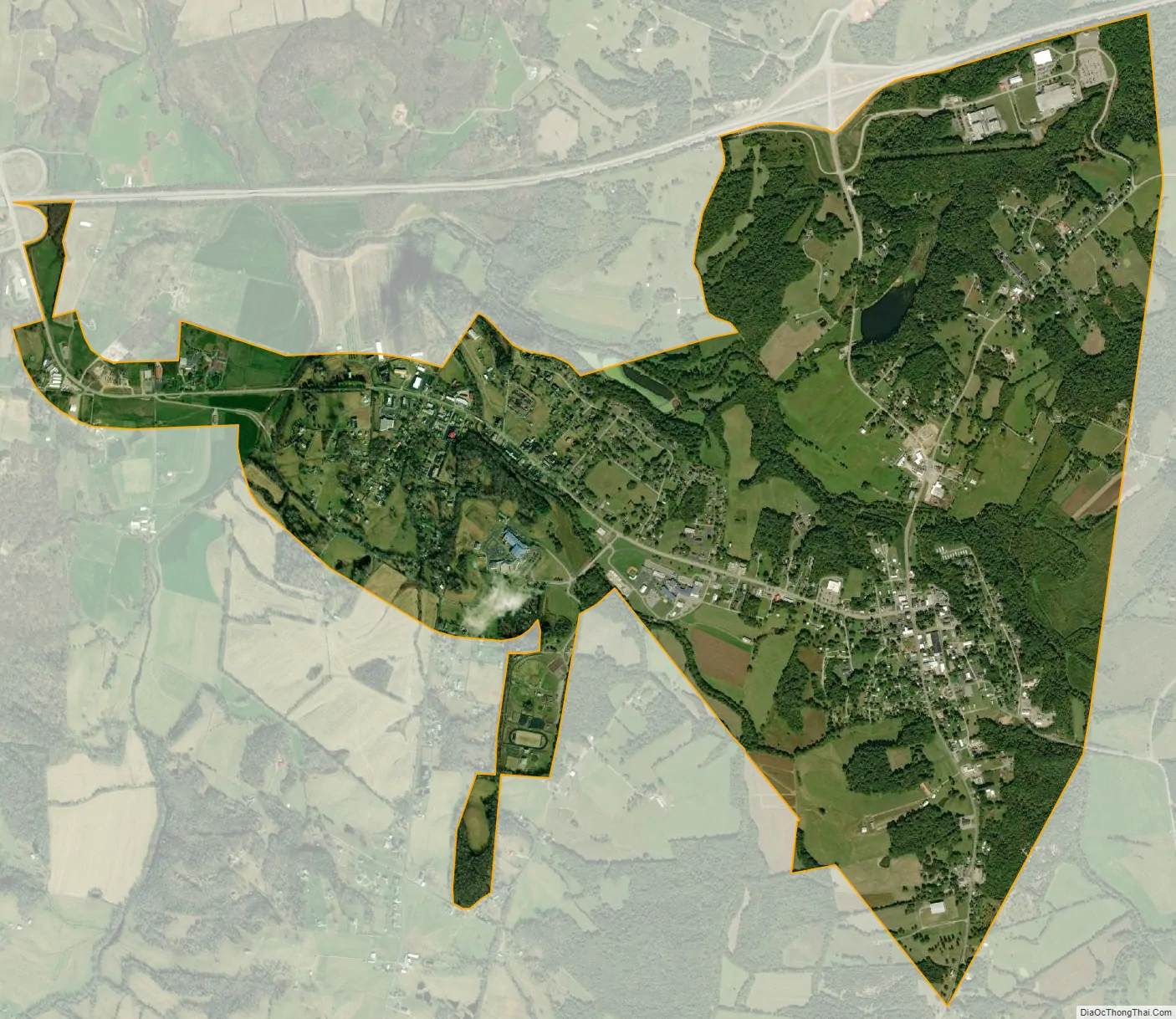
Edmonton city Satellite Map
Geography
Edmonton is located in central Metcalfe County at 36°58′49″N 85°37′13″W / 36.98028°N 85.62028°W / 36.98028; -85.62028 (36.980191, -85.620338). It is 18 miles (29 km) east of Glasgow, 21 miles (34 km) north of Tompkinsville, 21 miles (34 km) southwest of Columbia, and 31 miles (50 km) south of Greensburg. U.S. Route 68 and Kentucky Route 80 pass through the center of Edmonton, and the Cumberland Parkway runs along the city’s northern border, with access from exits 27 and 29 (US 68).
According to the United States Census Bureau, the city has a total area of 3.85 square miles (9.97 km), of which 0.04 square miles (0.10 km), or 0.99%, are water. The South Fork of the Little Barren River passes through the city, east and north of the center. It is a north-flowing tributary of the Little Barren River, part of the Green River watershed.
Climate
The climate in this area is characterized by hot, humid summers and generally mild to cool winters. According to the Köppen Climate Classification system, Edmonton has a humid subtropical climate, abbreviated “Cfa” on climate maps.
See also
Map of Kentucky State and its subdivision:- Adair
- Allen
- Anderson
- Ballard
- Barren
- Bath
- Bell
- Boone
- Bourbon
- Boyd
- Boyle
- Bracken
- Breathitt
- Breckinridge
- Bullitt
- Butler
- Caldwell
- Calloway
- Campbell
- Carlisle
- Carroll
- Carter
- Casey
- Christian
- Clark
- Clay
- Clinton
- Crittenden
- Cumberland
- Daviess
- Edmonson
- Elliott
- Estill
- Fayette
- Fleming
- Floyd
- Franklin
- Fulton
- Gallatin
- Garrard
- Grant
- Graves
- Grayson
- Green
- Greenup
- Hancock
- Hardin
- Harlan
- Harrison
- Hart
- Henderson
- Henry
- Hickman
- Hopkins
- Jackson
- Jefferson
- Jessamine
- Johnson
- Kenton
- Knott
- Knox
- Larue
- Laurel
- Lawrence
- Lee
- Leslie
- Letcher
- Lewis
- Lincoln
- Livingston
- Logan
- Lyon
- Madison
- Magoffin
- Marion
- Marshall
- Martin
- Mason
- McCracken
- McCreary
- McLean
- Meade
- Menifee
- Mercer
- Metcalfe
- Monroe
- Montgomery
- Morgan
- Muhlenberg
- Nelson
- Nicholas
- Ohio
- Oldham
- Owen
- Owsley
- Pendleton
- Perry
- Pike
- Powell
- Pulaski
- Robertson
- Rockcastle
- Rowan
- Russell
- Scott
- Shelby
- Simpson
- Spencer
- Taylor
- Todd
- Trigg
- Trimble
- Union
- Warren
- Washington
- Wayne
- Webster
- Whitley
- Wolfe
- Woodford
- Alabama
- Alaska
- Arizona
- Arkansas
- California
- Colorado
- Connecticut
- Delaware
- District of Columbia
- Florida
- Georgia
- Hawaii
- Idaho
- Illinois
- Indiana
- Iowa
- Kansas
- Kentucky
- Louisiana
- Maine
- Maryland
- Massachusetts
- Michigan
- Minnesota
- Mississippi
- Missouri
- Montana
- Nebraska
- Nevada
- New Hampshire
- New Jersey
- New Mexico
- New York
- North Carolina
- North Dakota
- Ohio
- Oklahoma
- Oregon
- Pennsylvania
- Rhode Island
- South Carolina
- South Dakota
- Tennessee
- Texas
- Utah
- Vermont
- Virginia
- Washington
- West Virginia
- Wisconsin
- Wyoming