Earlington is a home rule-class city in Hopkins County, Kentucky, in the United States. As of the 2010 census, the city had a population of 1,413, down from 1,649 at the 2000 census.
| Name: | Earlington city |
|---|---|
| LSAD Code: | 25 |
| LSAD Description: | city (suffix) |
| State: | Kentucky |
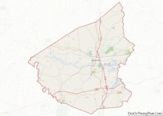
| County: | Hopkins County |
| Elevation: | 423 ft (129 m) |
| Total Area: | 2.94 sq mi (7.62 km²) |
| Land Area: | 2.82 sq mi (7.31 km²) |
| Water Area: | 0.12 sq mi (0.31 km²) |
| Total Population: | 1,257 |
| Population Density: | 445.59/sq mi (172.04/km²) |
| ZIP code: | 42410 |
| Area code: | 270 & 364 |
| FIPS code: | 2123230 |
| GNISfeature ID: | 0491420 |
| Website: | earlingtongovcity.com |
Online Interactive Map
Click on ![]() to view map in "full screen" mode.
to view map in "full screen" mode.
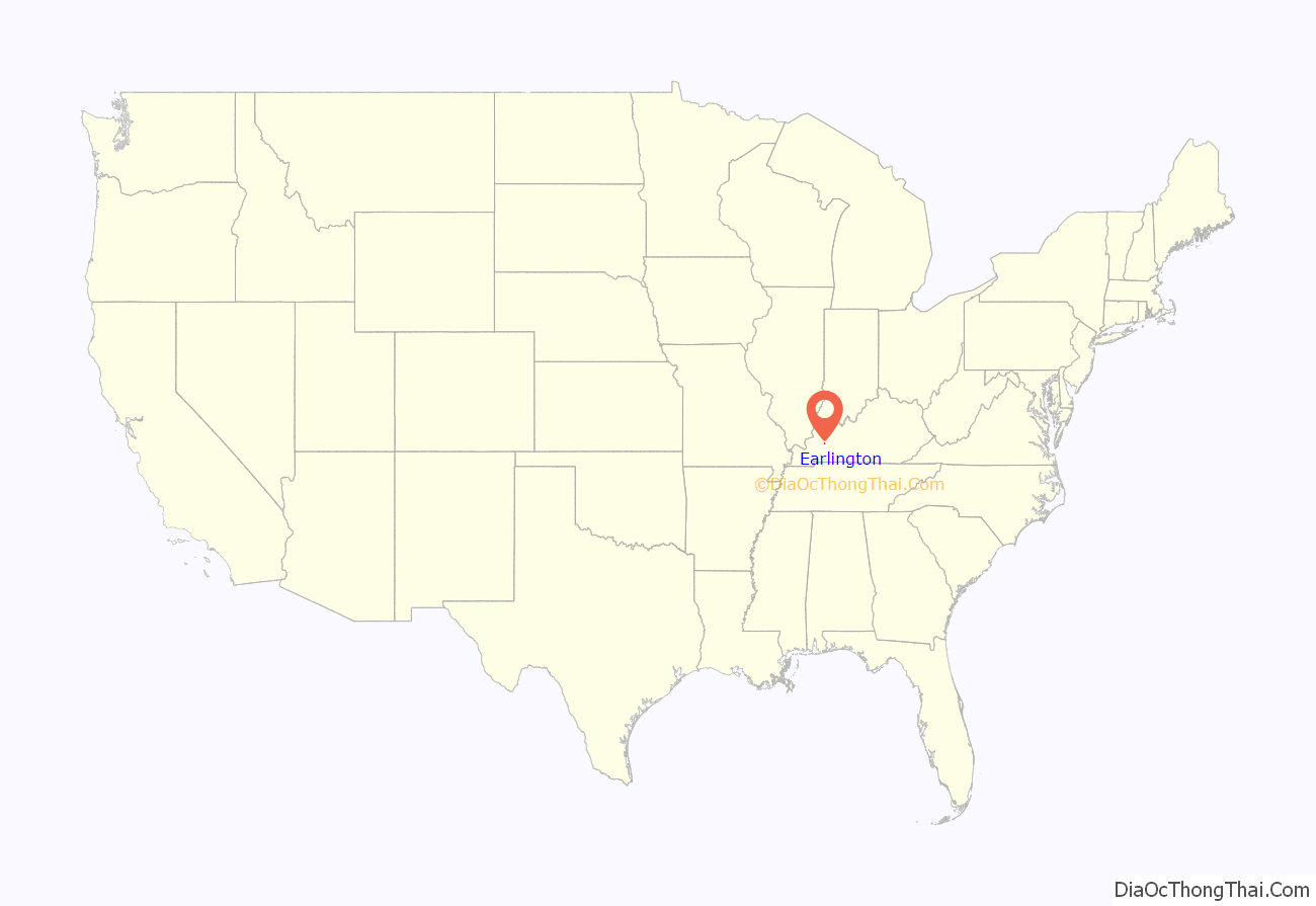
Earlington location map. Where is Earlington city?

History
Founded in 1870 by the St. Bernard Coal Co., Earlington was named a year later, upon its incorporation, for John Baylis Earle, the man who stuck the first pick into the hillside at the opening of Hopkins County’s first commercial coal mine. Earle was a lawyer who was central to developing the coal industry in the region. Shortly after the town was founded, the Louisville and Nashville Railroad completed its line from Henderson to Earlington, and became the primary hauler in the area. The town boomed as a coal center and as the center of L&N operations on the Evansville line.
The early development of Earlington can most readily be credited to St. Bernard Coal Company’s second president, John B. Atkinson. Originally from New Jersey, Atkinson taught school before becoming a civil engineer. He relocated to Kentucky from Boston in 1871 to take charge of mining operations at Earlington and eventually became president of the company.
Because of his background in education, Atkinson placed a great deal of emphasis on schools in Earlington, and modern buildings for the grade schools and high schools were built and furnished at the expense of St. Bernard. Other amenities offered at Earlington included housing, a library, an arboretum, and churches. Unusual for Western Kentucky at the time was the firm’s electric generating plant, which made Earlington one of the first fully electrified towns in the region.
Earlington boomed for its first 40 years, and was largely worked by black coal miners. Around World War I, consolidation in the mining industry sent coal company headquarters and profits to companies based in St. Louis, New York and other major cities, including the West Kentucky Coal Co. (based in New Jersey), which took over much of the Earlington operation. This drain of resources and severing of local control deeply affected Earlington and other mining towns nationwide, as did automation of many mining jobs. For Earlington, the closure of the L&N depot in the 1960s was another major blow.
Like many coal towns, Earlington’s population has declined by more than half over the past century, particularly since the mines played out in the 1980s. Today, the sleepy town is primarily a local service center, with some trade to pass-through traffic along its I-69 interchange and its US 41 (Dixie Hwy.) commercial center.
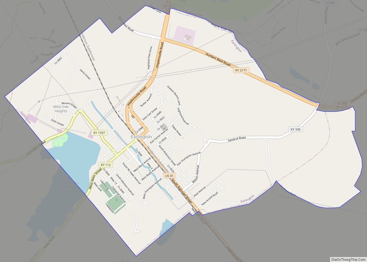
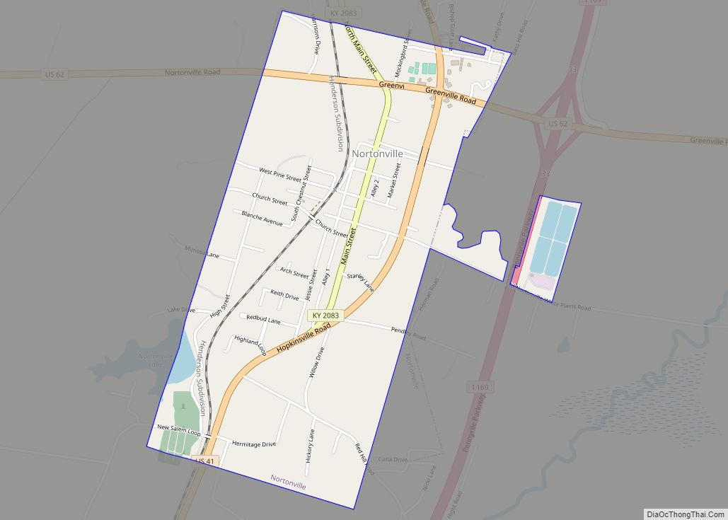
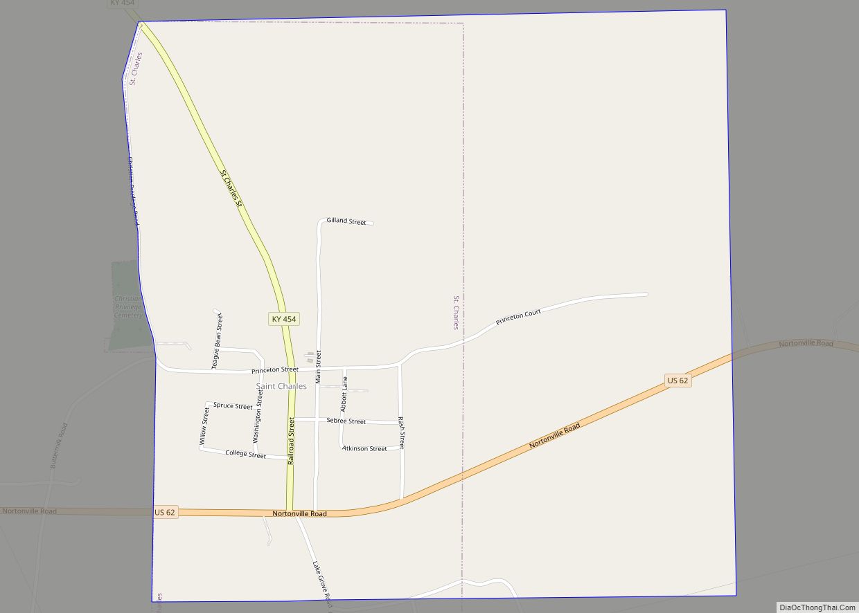
Earlington Road Map

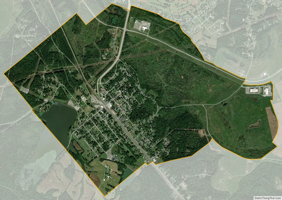
Earlington city Satellite Map
Geography
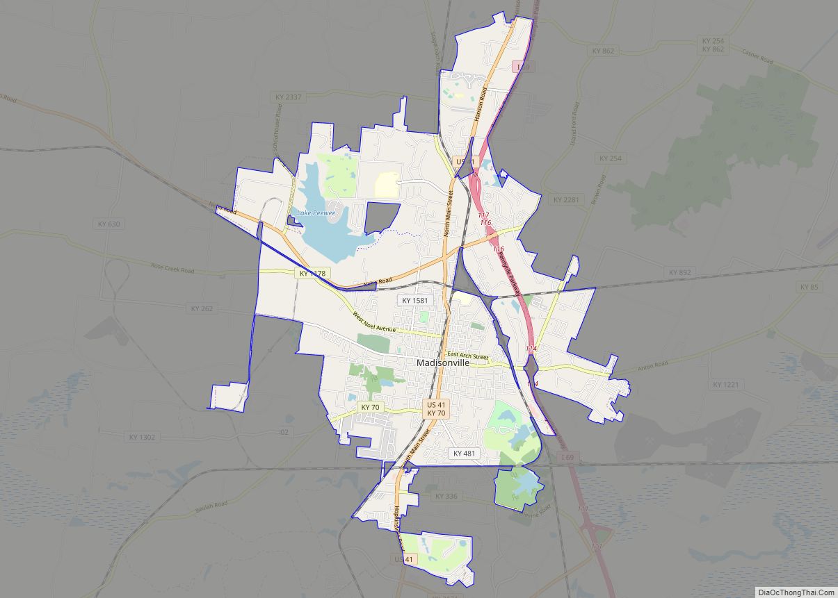
Earlington is located southeast of the center of Hopkins County at 37°16′27″N 87°30′41″W / 37.27417°N 87.51139°W / 37.27417; -87.51139 (37.274050, -87.511388). It is bordered to the north by Madisonville, the county seat. U.S. Route 41 (Hopkinsville Road) passes through the center of Earlington, leading north 4 miles (6 km) to the center of Madisonville and southeast 7 miles (11 km) to Nortonville. Interstate 69 passes 3 miles (5 km) east of town, with access from Exit 111.
According to the United States Census Bureau, Earlington has a total area of 2.5 square miles (6.5 km), of which 2.4 square miles (6.2 km) are land and 0.1 square miles (0.3 km), or 4.55%, are water.
See also
Map of Kentucky State and its subdivision:- Adair
- Allen
- Anderson
- Ballard
- Barren
- Bath
- Bell
- Boone
- Bourbon
- Boyd
- Boyle
- Bracken
- Breathitt
- Breckinridge
- Bullitt
- Butler
- Caldwell
- Calloway
- Campbell
- Carlisle
- Carroll
- Carter
- Casey
- Christian
- Clark
- Clay
- Clinton
- Crittenden
- Cumberland
- Daviess
- Edmonson
- Elliott
- Estill
- Fayette
- Fleming
- Floyd
- Franklin
- Fulton
- Gallatin
- Garrard
- Grant
- Graves
- Grayson
- Green
- Greenup
- Hancock
- Hardin
- Harlan
- Harrison
- Hart
- Henderson
- Henry
- Hickman
- Hopkins
- Jackson
- Jefferson
- Jessamine
- Johnson
- Kenton
- Knott
- Knox
- Larue
- Laurel
- Lawrence
- Lee
- Leslie
- Letcher
- Lewis
- Lincoln
- Livingston
- Logan
- Lyon
- Madison
- Magoffin
- Marion
- Marshall
- Martin
- Mason
- McCracken
- McCreary
- McLean
- Meade
- Menifee
- Mercer
- Metcalfe
- Monroe
- Montgomery
- Morgan
- Muhlenberg
- Nelson
- Nicholas
- Ohio
- Oldham
- Owen
- Owsley
- Pendleton
- Perry
- Pike
- Powell
- Pulaski
- Robertson
- Rockcastle
- Rowan
- Russell
- Scott
- Shelby
- Simpson
- Spencer
- Taylor
- Todd
- Trigg
- Trimble
- Union
- Warren
- Washington
- Wayne
- Webster
- Whitley
- Wolfe
- Woodford
- Alabama
- Alaska
- Arizona
- Arkansas
- California
- Colorado
- Connecticut
- Delaware
- District of Columbia
- Florida
- Georgia
- Hawaii
- Idaho
- Illinois
- Indiana
- Iowa
- Kansas
- Kentucky
- Louisiana
- Maine
- Maryland
- Massachusetts
- Michigan
- Minnesota
- Mississippi
- Missouri
- Montana
- Nebraska
- Nevada
- New Hampshire
- New Jersey
- New Mexico
- New York
- North Carolina
- North Dakota
- Ohio
- Oklahoma
- Oregon
- Pennsylvania
- Rhode Island
- South Carolina
- South Dakota
- Tennessee
- Texas
- Utah
- Vermont
- Virginia
- Washington
- West Virginia
- Wisconsin
- Wyoming