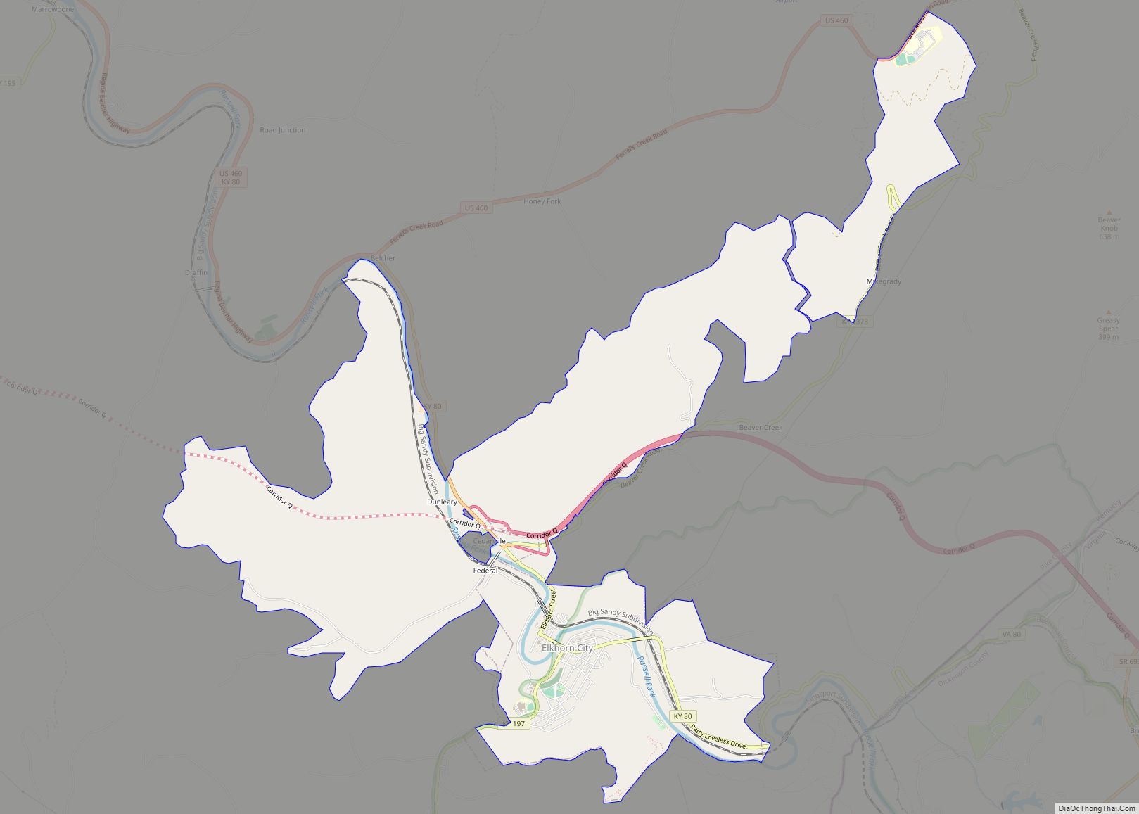
Elkhorn City is a home rule-class city in Pike County, Kentucky, in the United States. The population was 982 at the 2010 census. The city is located in proximity to the Breaks Interstate Park.
| Name: | Elkhorn City city |
|---|---|
| LSAD Code: | 25 |
| LSAD Description: | city (suffix) |
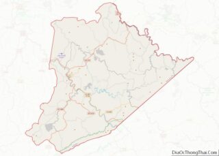
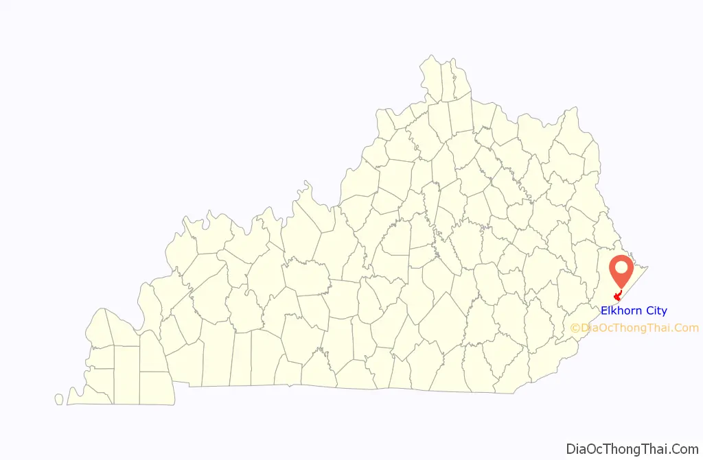
| State: | Kentucky |
| County: | Pike County |
| Incorporated: | November 4, 1912 |
| Elevation: | 791 ft (241 m) |
| Total Area: | 7.72 sq mi (19.99 km²) |
| Land Area: | 7.72 sq mi (19.99 km²) |
| Water Area: | 0.00 sq mi (0.00 km²) |
| Total Population: | 1,035 |
| Population Density: | 134.07/sq mi (51.76/km²) |
| ZIP code: | 41522 |
| Area code: | 606 |
| FIPS code: | 2124382 |
| GNISfeature ID: | 0491688 |
| Website: | http://www.elkhorncity.org/ |
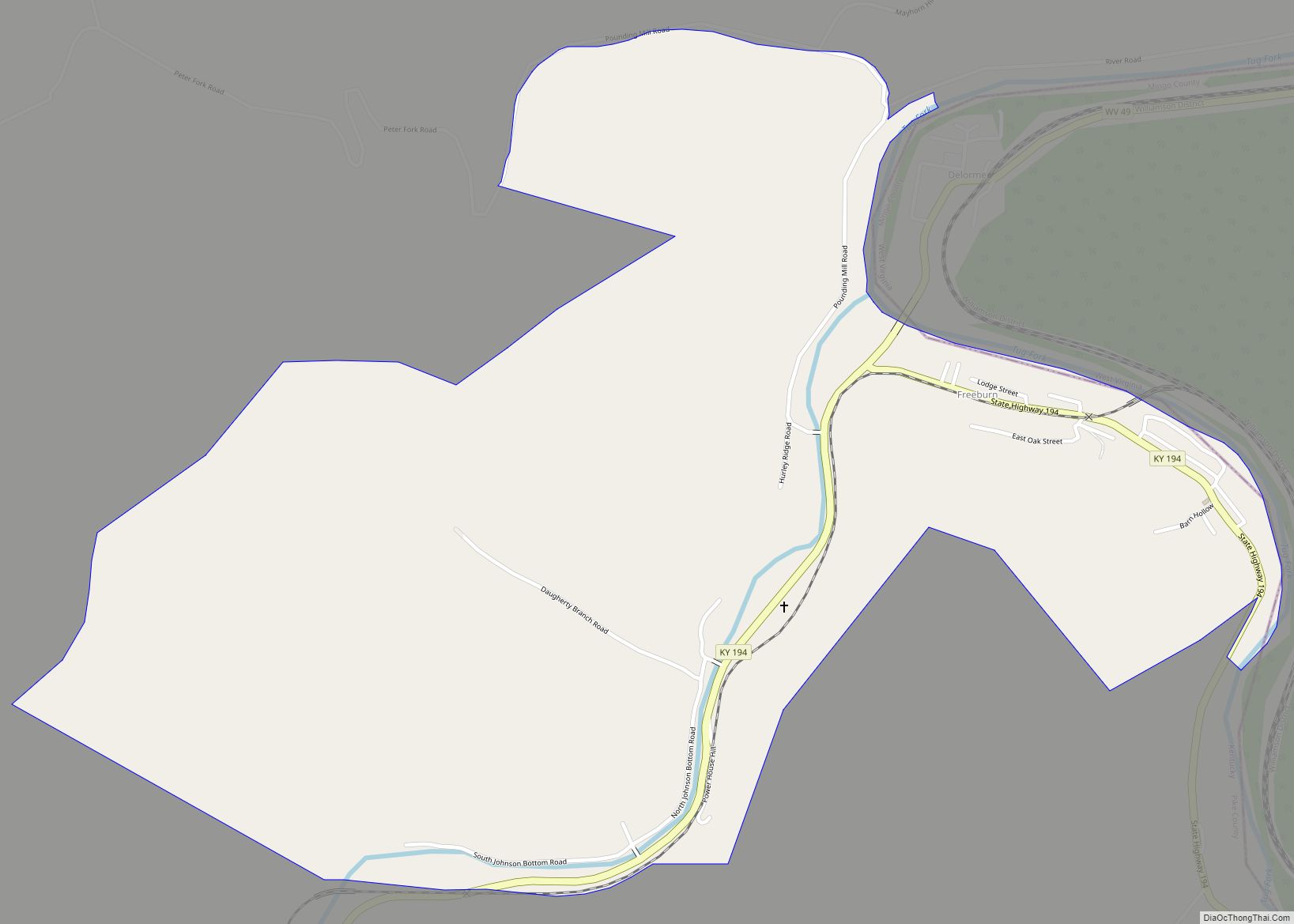
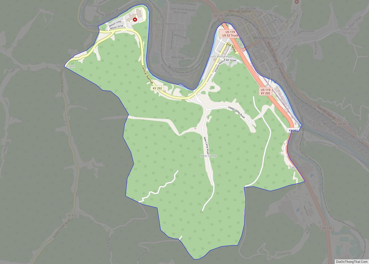
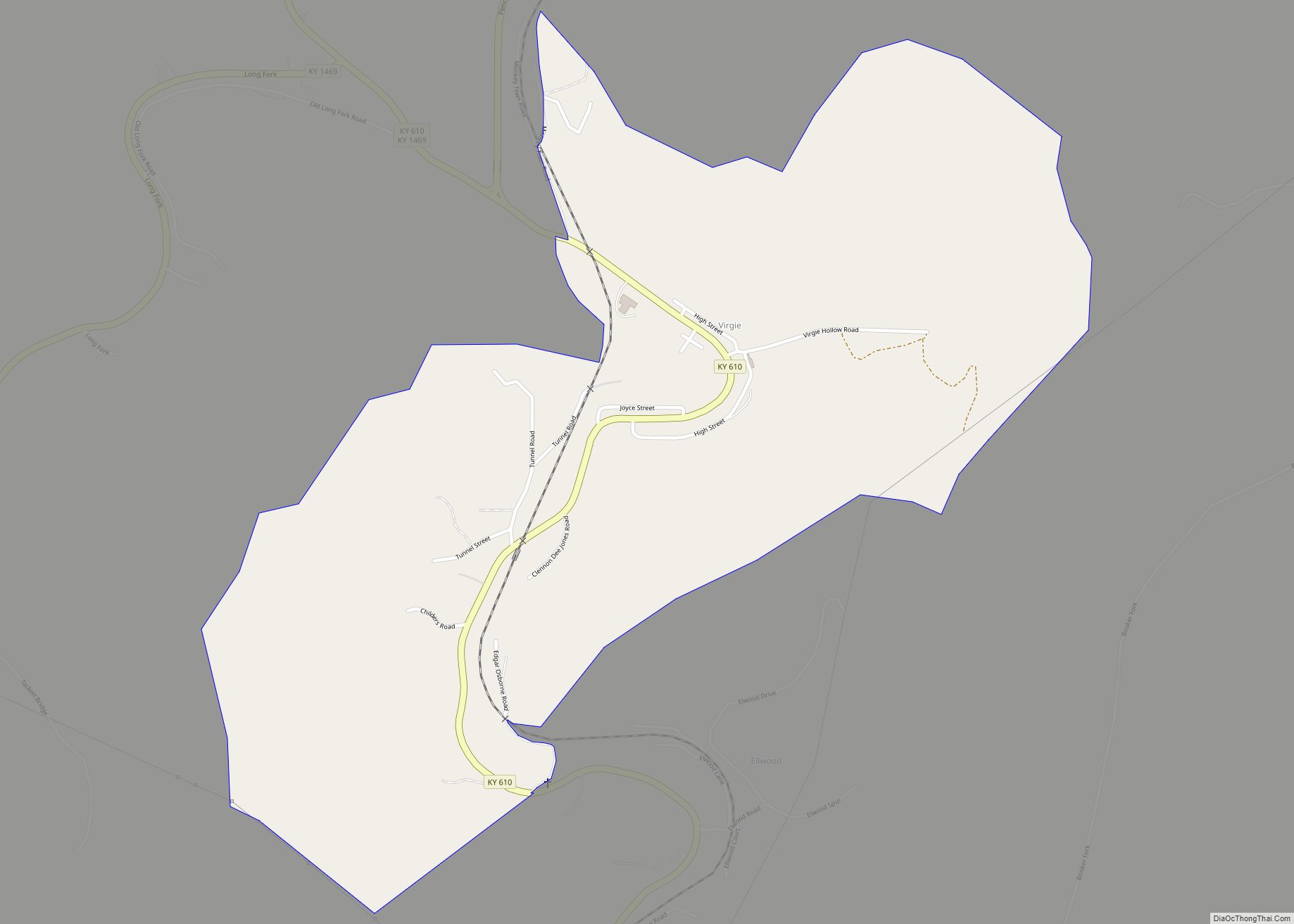
Online Interactive Map
Click on ![]() to view map in "full screen" mode.
to view map in "full screen" mode.
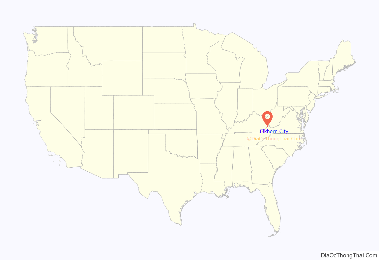
Elkhorn City location map. Where is Elkhorn City city?
History
Elkhorn City was first settled by William Ramey of North Carolina c. 1810. However, in 1767–1768, Daniel Boone took his first steps in what is now Kentucky near present-day Elkhorn City on a hunting expedition.
It was originally named “Elkhorn”, after an elk’s horn that was found on the banks of the nearby creek (also named Elkhorn.) Because there was already a town named “Elk Horn” in Taylor County, the town had to be renamed in order to avoid confusion. On October 16, 1882, the post office was renamed “Praise” for “Camp Praise-the-Lord”, a tent colony that was established by evangelist George O. Barnes for a revival there in August 1881. In 1907, the C&O Railroad established a station in Praise that was named “Elkhorn City”. Although Elkhorn City was incorporated as a city on November 4, 1912, the local post office was not renamed Elkhorn City until September 1, 1952, after local pressure for a uniform name.
The neighboring settlement of Cedarville merged with Elkhorn City in 2009.
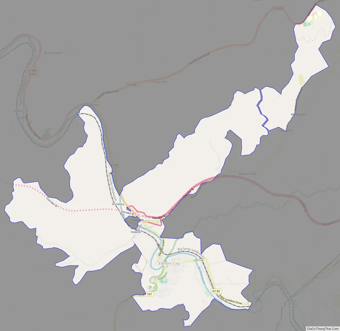
Elkhorn City Road Map
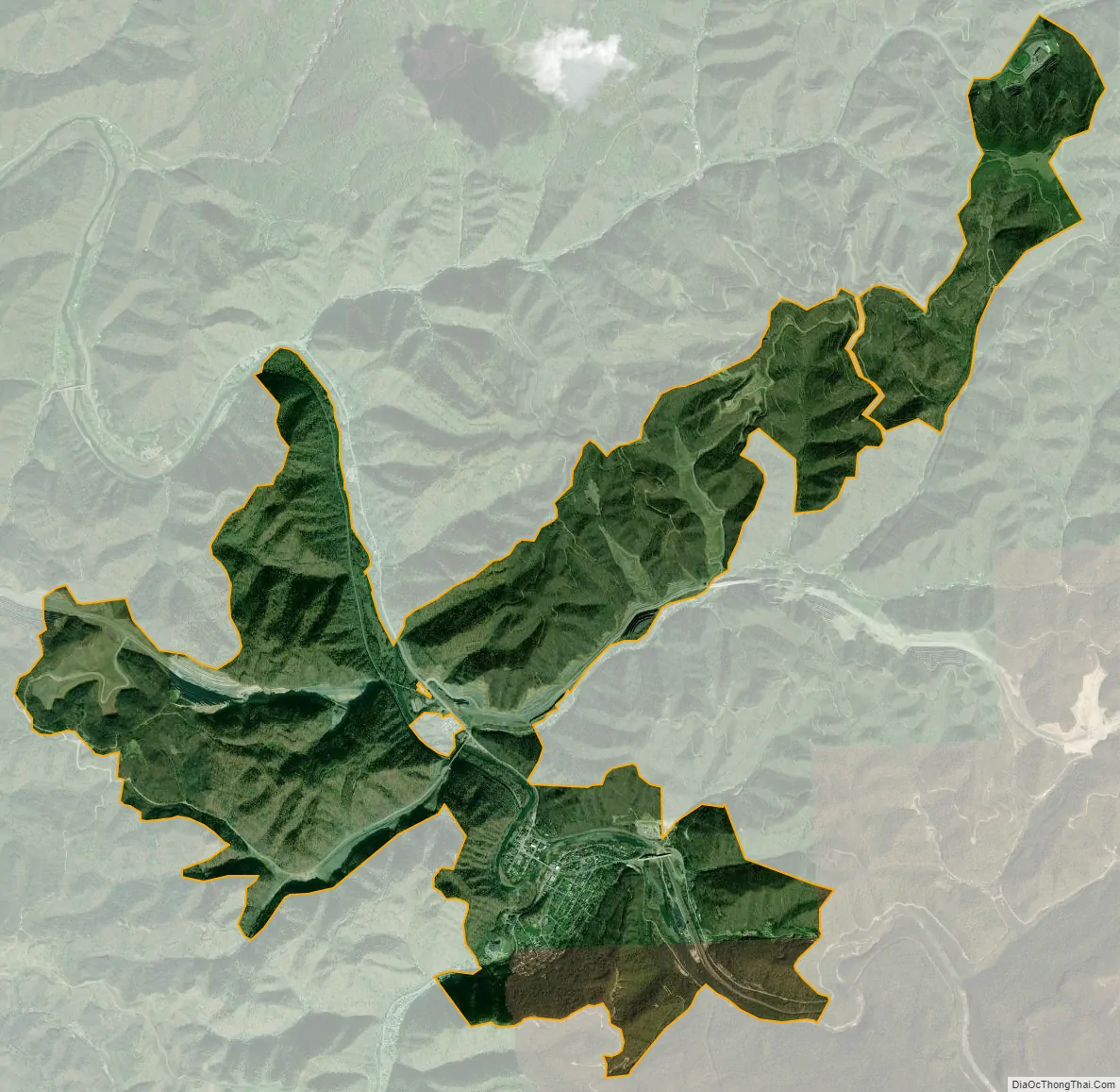
Elkhorn City city Satellite Map
Geography
Elkhorn City is located at 37°18′11″N 82°20′52″W / 37.303038°N 82.347884°W / 37.303038; -82.347884(37.3039971, -82.3509795).
According to the United States Census Bureau, the city has a total area of 2.0 square miles (5.2 km), all land.
Elkhorn City is nestled in the foothills of the Appalachian Mountains of Eastern Kentucky. The city has many geographic wonders that make it one of the major tourism destinations in Kentucky. First and foremost of these natural wonders is the Russell Fork of the Big Sandy River which flows through the center of the city. It is well known for as a whitewater rafting destination, featuring Class II-VI rapids.
Elkhorn City is also geographically located at the northernmost point of the Pine Mountain along with the northern terminus of Pine Mountain Trail. Once completed, the trail will extend from the Breaks Interstate Park to Cumberland Gap National Historical Park along the ridge of Pine Mountain.
Elkhorn City is the Easternmost incorporated municipality in Kentucky. Freeburn and Phelps are technically farther east, but both are considered CDPs.
Climate
The climate in this area is characterized by hot, humid summers and generally mild to cool winters. According to the Köppen Climate Classification system, Elkhorn City has a humid subtropical climate, abbreviated “Cfa” on climate maps.
See also
Map of Kentucky State and its subdivision:- Adair
- Allen
- Anderson
- Ballard
- Barren
- Bath
- Bell
- Boone
- Bourbon
- Boyd
- Boyle
- Bracken
- Breathitt
- Breckinridge
- Bullitt
- Butler
- Caldwell
- Calloway
- Campbell
- Carlisle
- Carroll
- Carter
- Casey
- Christian
- Clark
- Clay
- Clinton
- Crittenden
- Cumberland
- Daviess
- Edmonson
- Elliott
- Estill
- Fayette
- Fleming
- Floyd
- Franklin
- Fulton
- Gallatin
- Garrard
- Grant
- Graves
- Grayson
- Green
- Greenup
- Hancock
- Hardin
- Harlan
- Harrison
- Hart
- Henderson
- Henry
- Hickman
- Hopkins
- Jackson
- Jefferson
- Jessamine
- Johnson
- Kenton
- Knott
- Knox
- Larue
- Laurel
- Lawrence
- Lee
- Leslie
- Letcher
- Lewis
- Lincoln
- Livingston
- Logan
- Lyon
- Madison
- Magoffin
- Marion
- Marshall
- Martin
- Mason
- McCracken
- McCreary
- McLean
- Meade
- Menifee
- Mercer
- Metcalfe
- Monroe
- Montgomery
- Morgan
- Muhlenberg
- Nelson
- Nicholas
- Ohio
- Oldham
- Owen
- Owsley
- Pendleton
- Perry
- Pike
- Powell
- Pulaski
- Robertson
- Rockcastle
- Rowan
- Russell
- Scott
- Shelby
- Simpson
- Spencer
- Taylor
- Todd
- Trigg
- Trimble
- Union
- Warren
- Washington
- Wayne
- Webster
- Whitley
- Wolfe
- Woodford
- Alabama
- Alaska
- Arizona
- Arkansas
- California
- Colorado
- Connecticut
- Delaware
- District of Columbia
- Florida
- Georgia
- Hawaii
- Idaho
- Illinois
- Indiana
- Iowa
- Kansas
- Kentucky
- Louisiana
- Maine
- Maryland
- Massachusetts
- Michigan
- Minnesota
- Mississippi
- Missouri
- Montana
- Nebraska
- Nevada
- New Hampshire
- New Jersey
- New Mexico
- New York
- North Carolina
- North Dakota
- Ohio
- Oklahoma
- Oregon
- Pennsylvania
- Rhode Island
- South Carolina
- South Dakota
- Tennessee
- Texas
- Utah
- Vermont
- Virginia
- Washington
- West Virginia
- Wisconsin
- Wyoming