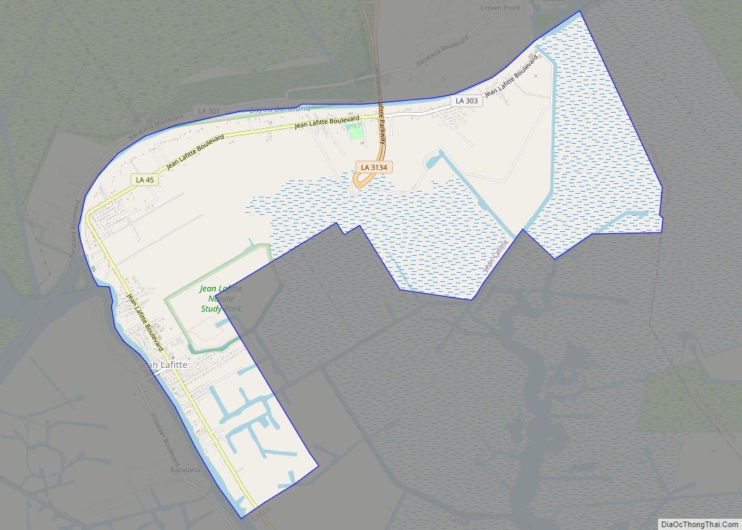
Jean Lafitte is a town on Bayou Barataria in the U.S. state of Louisiana. Located in Jefferson Parish, it is named after the privateer Jean Lafitte. The population was 1,809 at the 2020 census. It is part of the New Orleans–Metairie–Kenner metropolitan statistical area. Jean Lafitte town overview: Name: Jean Lafitte town LSAD Code: 43 ... Read more
Louisiana Cities and Places
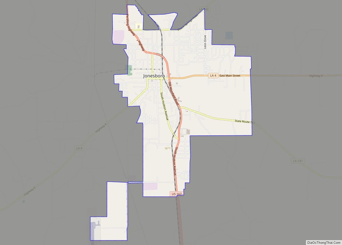
Jonesboro is a town in, and the parish seat of, Jackson Parish in the northern portion of the U.S. state of Louisiana. The population was 4,106 in 2020. Jonesboro town overview: Name: Jonesboro town LSAD Code: 43 LSAD Description: town (suffix) State: Louisiana County: Jackson Parish Total Area: 4.90 sq mi (12.70 km²) Land Area: 4.85 sq mi (12.55 km²) Water ... Read more
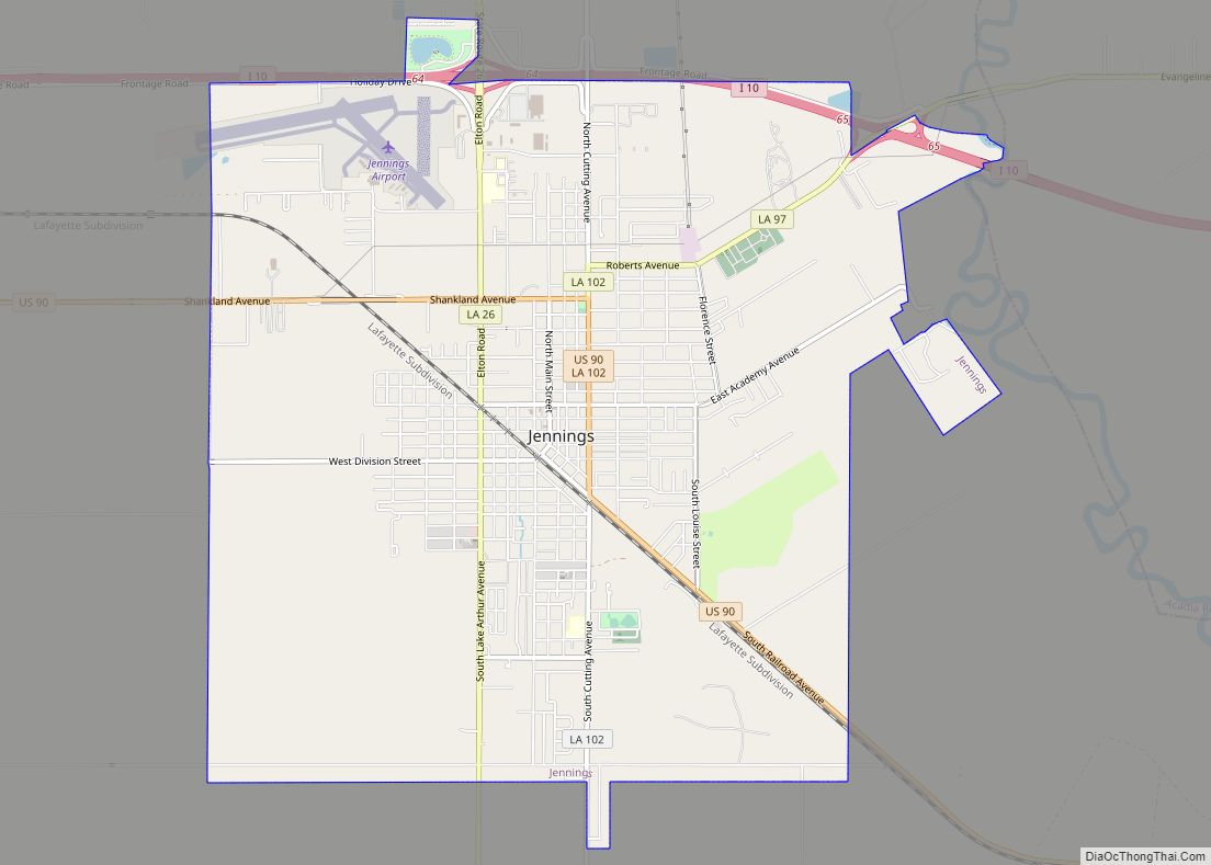
Jennings is a city in, and the parish seat of, Jefferson Davis Parish, Louisiana, United States, near Lake Charles. The population was 10,383 at the 2010 census, a small decline from the 2000 tabulation. Jennings is the principal city of the Jennings Micropolitan Statistical Area, which includes all of Jefferson Davis Parish. It is also ... Read more
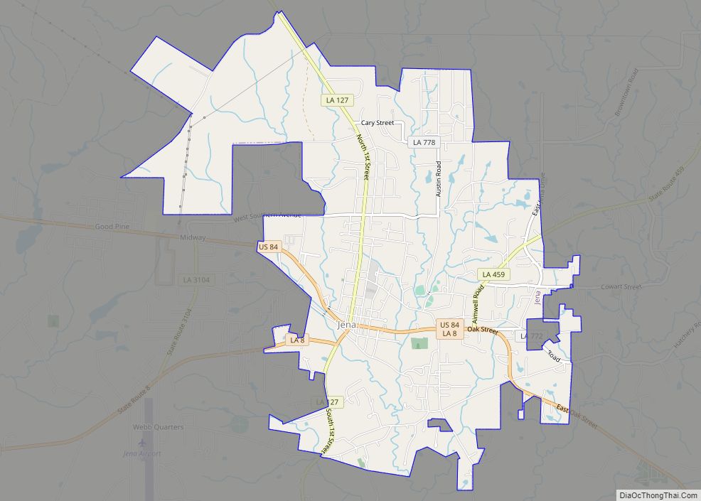
Jena (/ˈdʒiːnə/) is a town in, and the parish seat of, La Salle Parish, Louisiana, United States. The population was 3,398 at the 2010 census. Jena town overview: Name: Jena town LSAD Code: 43 LSAD Description: town (suffix) State: Louisiana County: LaSalle Parish Elevation: 167 ft (51 m) Total Area: 5.53 sq mi (14.32 km²) Land Area: 5.50 sq mi (14.24 km²) Water ... Read more
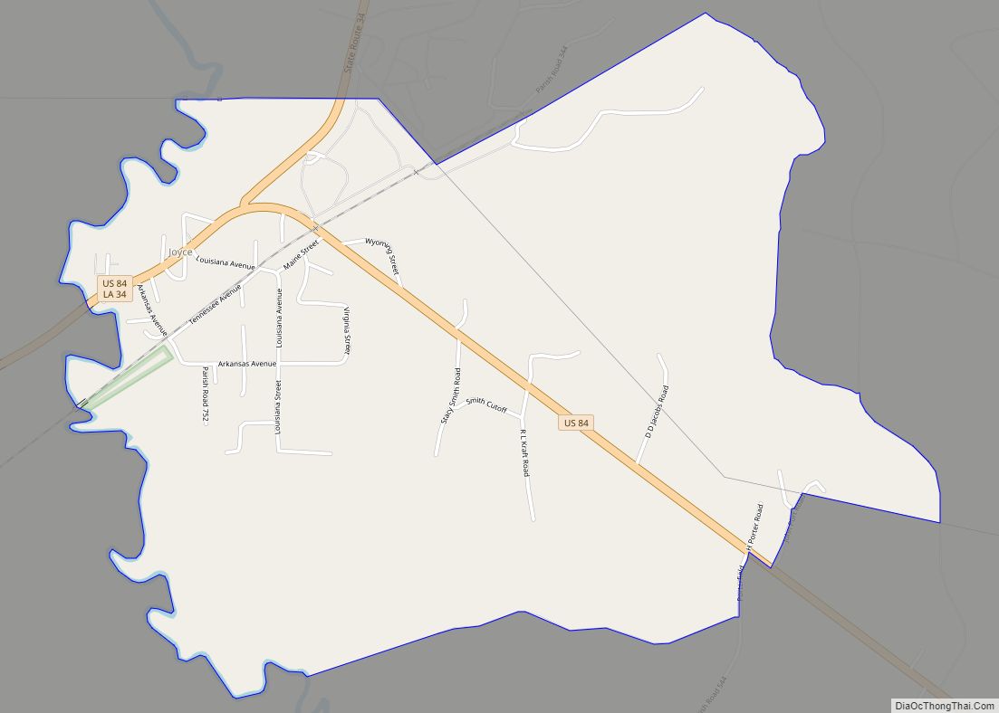
Joyce is an unincorporated community and census-designated place in Winn Parish, Louisiana, United States. Its population was 384 as of the 2010 census. Its ZIP code is 71440. Joyce CDP overview: Name: Joyce CDP LSAD Code: 57 LSAD Description: CDP (suffix) State: Louisiana County: Winn Parish Elevation: 128 ft (39 m) Total Area: 2.92 sq mi (7.58 km²) Land Area: ... Read more
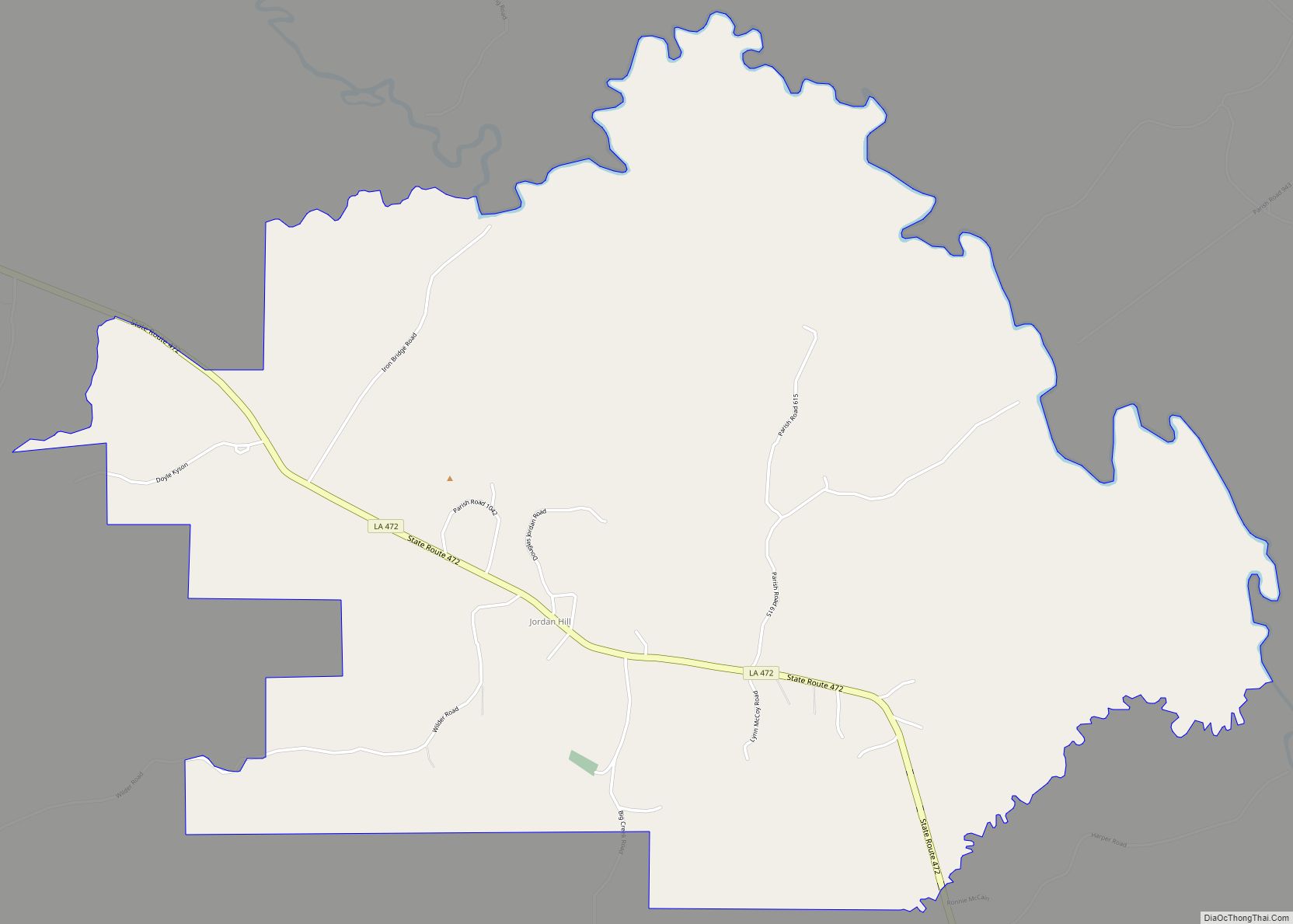
Jordan Hill is a census-designated place (CDP) in Winn Parish, Louisiana, United States. Jordan Hill CDP overview: Name: Jordan Hill CDP LSAD Code: 57 LSAD Description: CDP (suffix) State: Louisiana County: Winn Parish Total Area: 6.71 sq mi (17.38 km²) Land Area: 6.71 sq mi (17.38 km²) Water Area: 0.00 sq mi (0.00 km²) Total Population: 196 Population Density: 29.21/sq mi (11.28/km²) FIPS code: 2238845 ... Read more
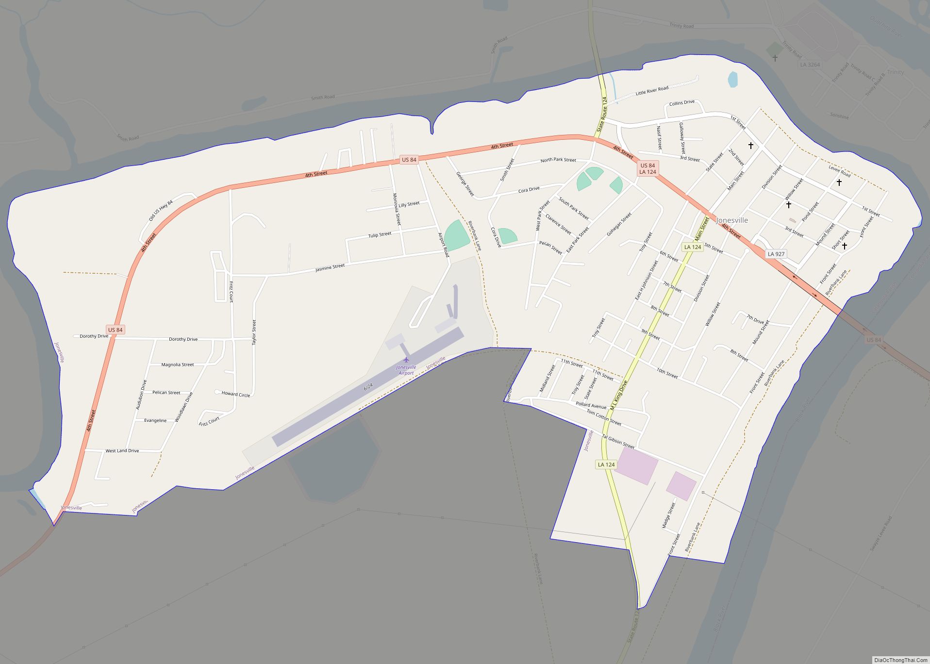
Jonesville is the largest town in Catahoula Parish, Louisiana, United States, at the confluence of the Ouachita, Tensas, and Little rivers. The three rivers become the Black River at Jonesville. The Jonesville population was 2,265 at the 2010 census. The four rivers which intersect near Jonesville are all subject to flooding. There are surrounding soybean ... Read more
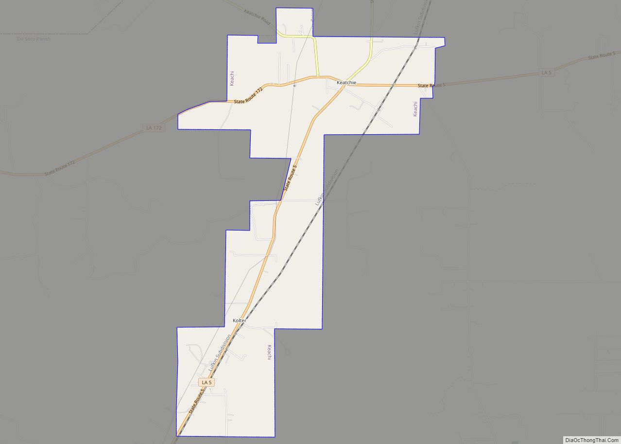
Keachi (pronounced “key-chai”; also spelled Keatchie or Keachie) is a town in DeSoto Parish, Louisiana, United States. The population was 295 at the 2010 census. It is part of the Shreveport–Bossier City Metropolitan Statistical Area. Keachi town overview: Name: Keachi town LSAD Code: 43 LSAD Description: town (suffix) State: Louisiana County: De Soto Parish Elevation: ... Read more
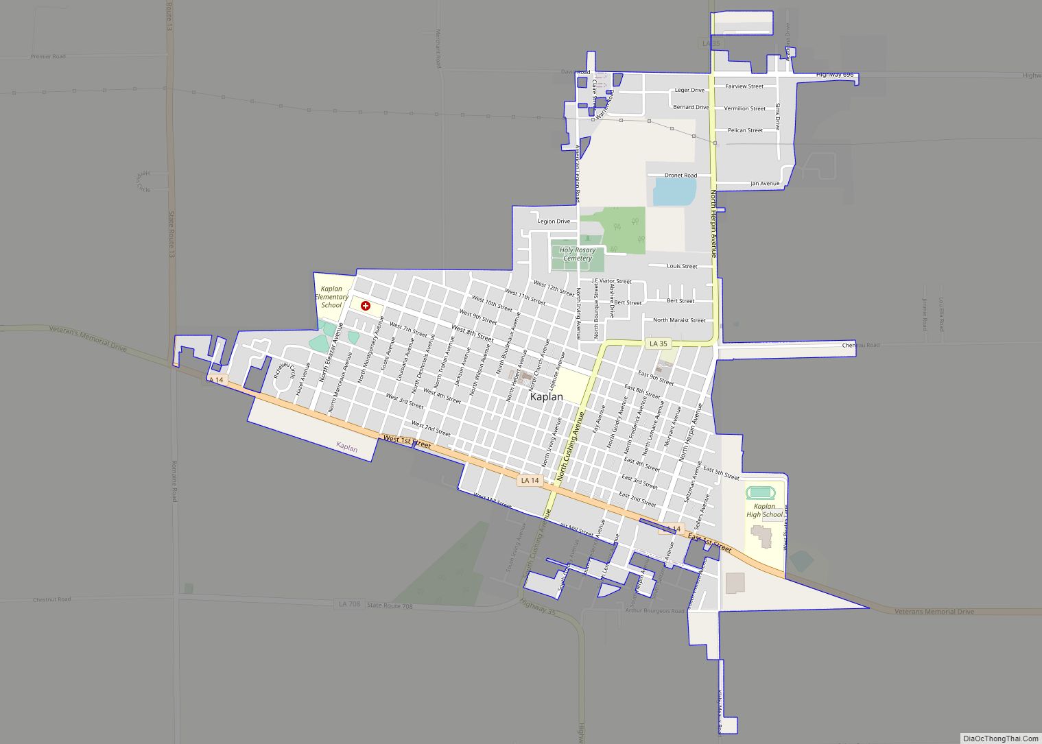
Kaplan is a city in Vermilion Parish, Louisiana, United States. The population was 4,600 at the 2010 census, and 4,345 at the 2020 population estimates program. It is part of the Abbeville micropolitan statistical area in Acadiana. Kaplan city overview: Name: Kaplan city LSAD Code: 25 LSAD Description: city (suffix) State: Louisiana County: Vermilion Parish ... Read more
Junction City is a village in Claiborne and Union parishes in Louisiana, United States, and is the twin city of neighboring Junction City, Arkansas. The population was 437 in 2020. The Union Parish portion of Junction City is part of the Monroe Metropolitan Statistical Area. Junction City village overview: Name: Junction City village LSAD Code: ... Read more
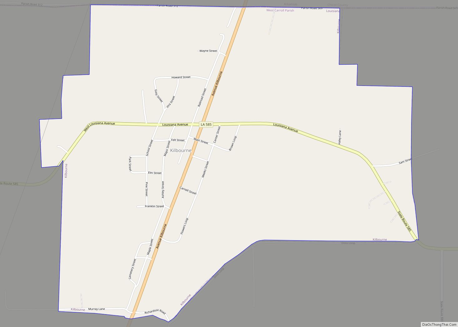
Kilbourne is a village in West Carroll Parish, Louisiana, United States. The population was 416 at the 2010 census. Kilbourne village overview: Name: Kilbourne village LSAD Code: 47 LSAD Description: village (suffix) State: Louisiana County: West Carroll Parish Elevation: 125 ft (38 m) Total Area: 1.39 sq mi (3.59 km²) Land Area: 1.39 sq mi (3.59 km²) Water Area: 0.00 sq mi (0.00 km²) Total Population: ... Read more
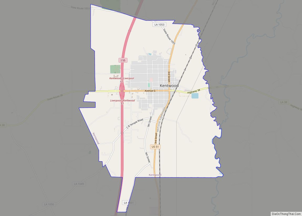
Kentwood is a rural town in Tangipahoa Parish, Louisiana, United States, near the Mississippi state line. The population was 2,198 at the 2010 census. It is part of the Hammond Micropolitan Statistical Area. Kentwood is best known as the hometown of singer Britney Spears. Kentwood town overview: Name: Kentwood town LSAD Code: 43 LSAD Description: ... Read more
