Jena (/ˈdʒiːnə/) is a town in, and the parish seat of, La Salle Parish, Louisiana, United States. The population was 3,398 at the 2010 census.
| Name: | Jena town |
|---|---|
| LSAD Code: | 43 |
| LSAD Description: | town (suffix) |
| State: | Louisiana |
| County: | LaSalle Parish |
| Elevation: | 167 ft (51 m) |
| Total Area: | 5.53 sq mi (14.32 km²) |
| Land Area: | 5.50 sq mi (14.24 km²) |
| Water Area: | 0.03 sq mi (0.08 km²) |
| Total Population: | 4,155 |
| Population Density: | 755.73/sq mi (291.80/km²) |
| ZIP code: | 71342 |
| Area code: | 318 |
| FIPS code: | 2238285 |
| Website: | townofjena.com |
Online Interactive Map
Click on ![]() to view map in "full screen" mode.
to view map in "full screen" mode.
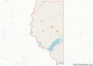
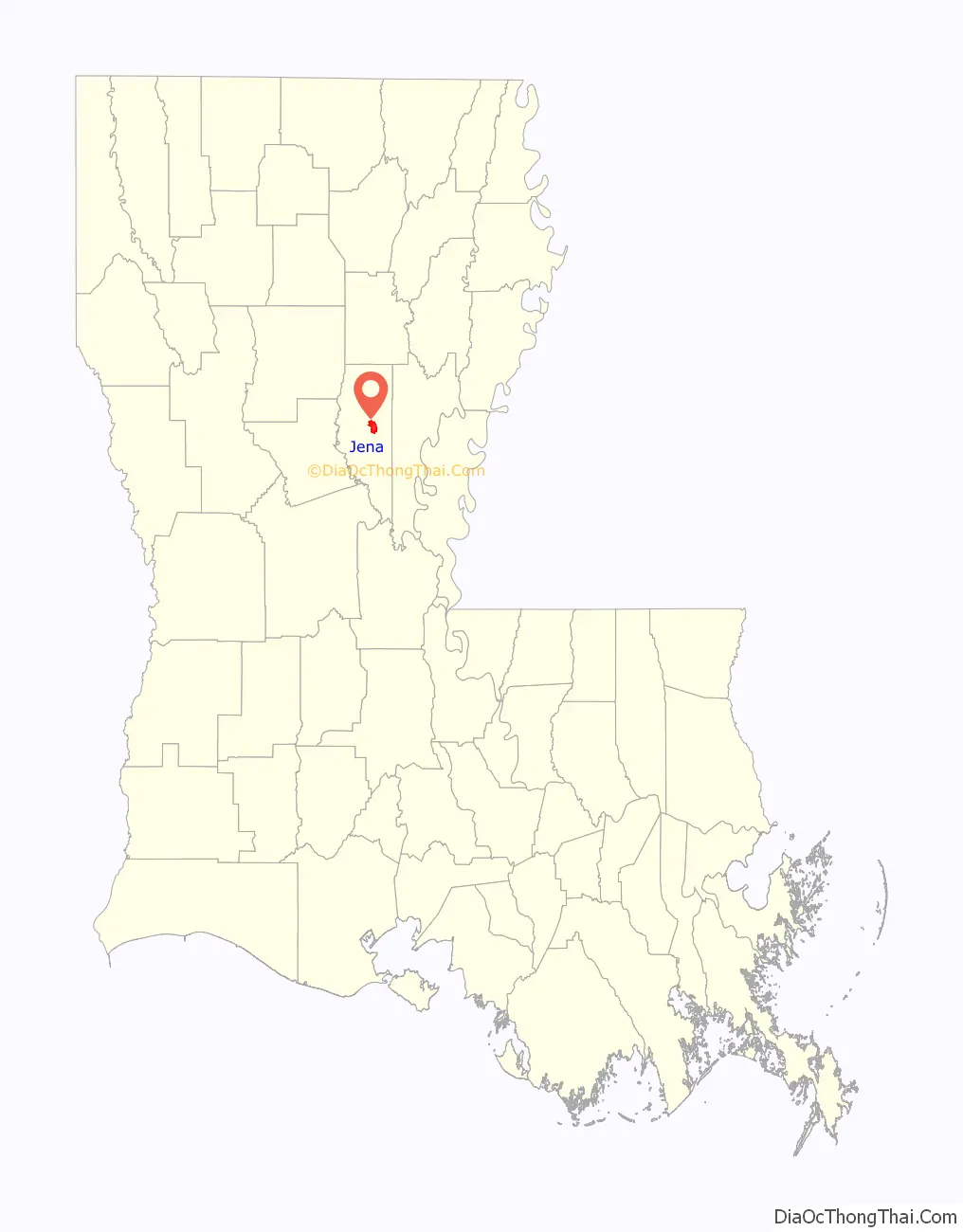
Jena location map. Where is Jena town?

History
Jena was named for Jena, Germany, where French Emperor Napoleon I won the Battle of Jena-Auerstedt in 1806. The town in Louisiana was founded exactly one hundred years later.
In September 2006, Jena became the focus of national news stories in the United States for a racial controversy involving its school system and a group of students known as the Jena Six.
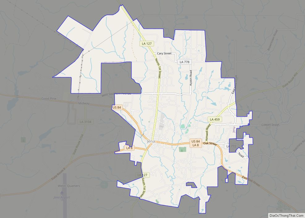
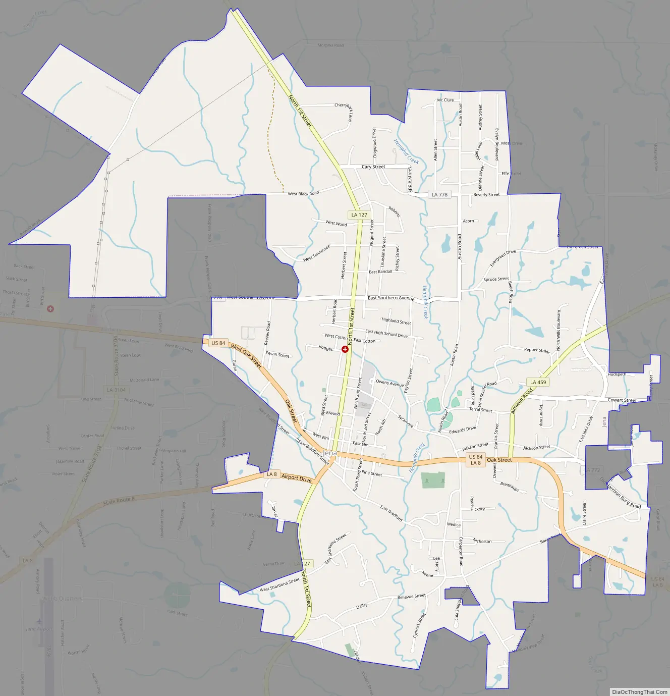
Jena Road Map
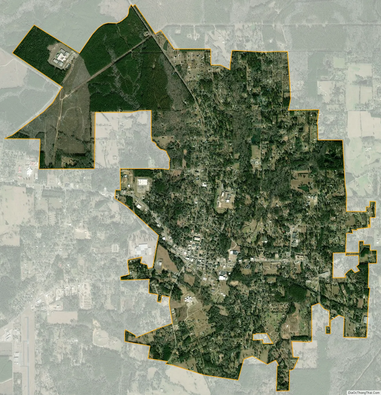
Jena city Satellite Map
Geography
Jena is at 31°41′24″N 92°7′29″W / 31.69000°N 92.12472°W / 31.69000; -92.12472 (31.689993, -92.124781) and has an elevation of 167 feet (50.9 m).
According to the United States Census Bureau, the town has an area of 5.4 square miles (14 km), all land.
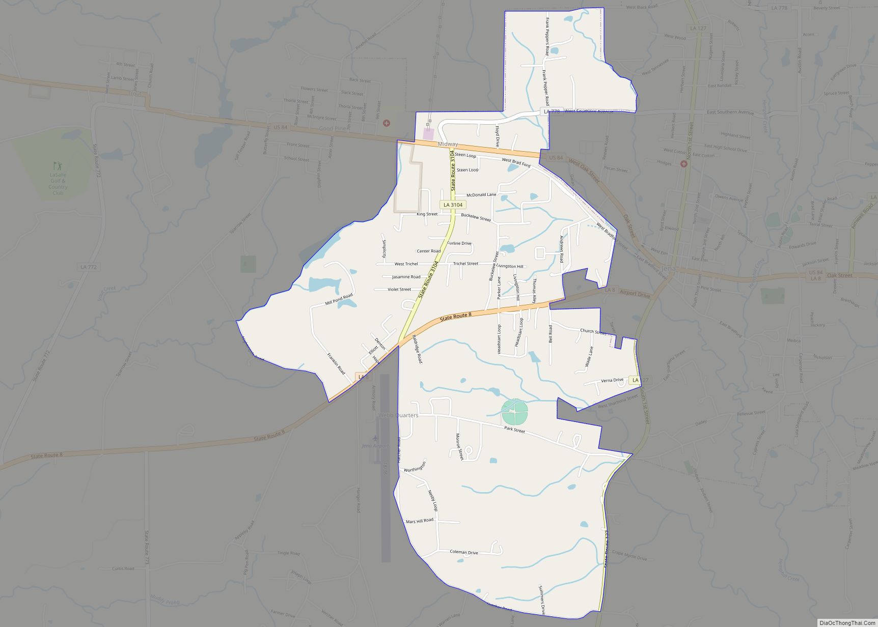
Surrounding communities
Residents of these rural communities frequent Jena for school, work, and shopping.
- Midway
- Olla, Louisiana
- Jonesville, Louisiana
- Trout, Louisiana
- Nebo
- Summerville
- Good Pine
- Possum Point
- Belah
- Fellowship
- White Sulphur Springs
- Searcy
- Whitehall
- Rhinehart
See also
Map of Louisiana State and its subdivision:- Acadia
- Allen
- Ascension
- Assumption
- Avoyelles
- Beauregard
- Bienville
- Bossier
- Caddo
- Calcasieu
- Caldwell
- Cameron
- Catahoula
- Claiborne
- Concordia
- De Soto
- East Baton Rouge
- East Carroll
- East Feliciana
- Evangeline
- Franklin
- Grant
- Iberia
- Iberville
- Jackson
- Jefferson
- Jefferson Davis
- La Salle
- Lafayette
- Lafourche
- Lincoln
- Livingston
- Madison
- Morehouse
- Natchitoches
- Orleans
- Ouachita
- Plaquemines
- Pointe Coupee
- Rapides
- Red River
- Richland
- Sabine
- Saint Bernard
- Saint Charles
- Saint Helena
- Saint James
- Saint John the Baptist
- Saint Landry
- Saint Martin
- Saint Mary
- Saint Tammany
- Tangipahoa
- Tensas
- Terrebonne
- Union
- Vermilion
- Vernon
- Washington
- Webster
- West Baton Rouge
- West Carroll
- West Feliciana
- Winn
- Alabama
- Alaska
- Arizona
- Arkansas
- California
- Colorado
- Connecticut
- Delaware
- District of Columbia
- Florida
- Georgia
- Hawaii
- Idaho
- Illinois
- Indiana
- Iowa
- Kansas
- Kentucky
- Louisiana
- Maine
- Maryland
- Massachusetts
- Michigan
- Minnesota
- Mississippi
- Missouri
- Montana
- Nebraska
- Nevada
- New Hampshire
- New Jersey
- New Mexico
- New York
- North Carolina
- North Dakota
- Ohio
- Oklahoma
- Oregon
- Pennsylvania
- Rhode Island
- South Carolina
- South Dakota
- Tennessee
- Texas
- Utah
- Vermont
- Virginia
- Washington
- West Virginia
- Wisconsin
- Wyoming