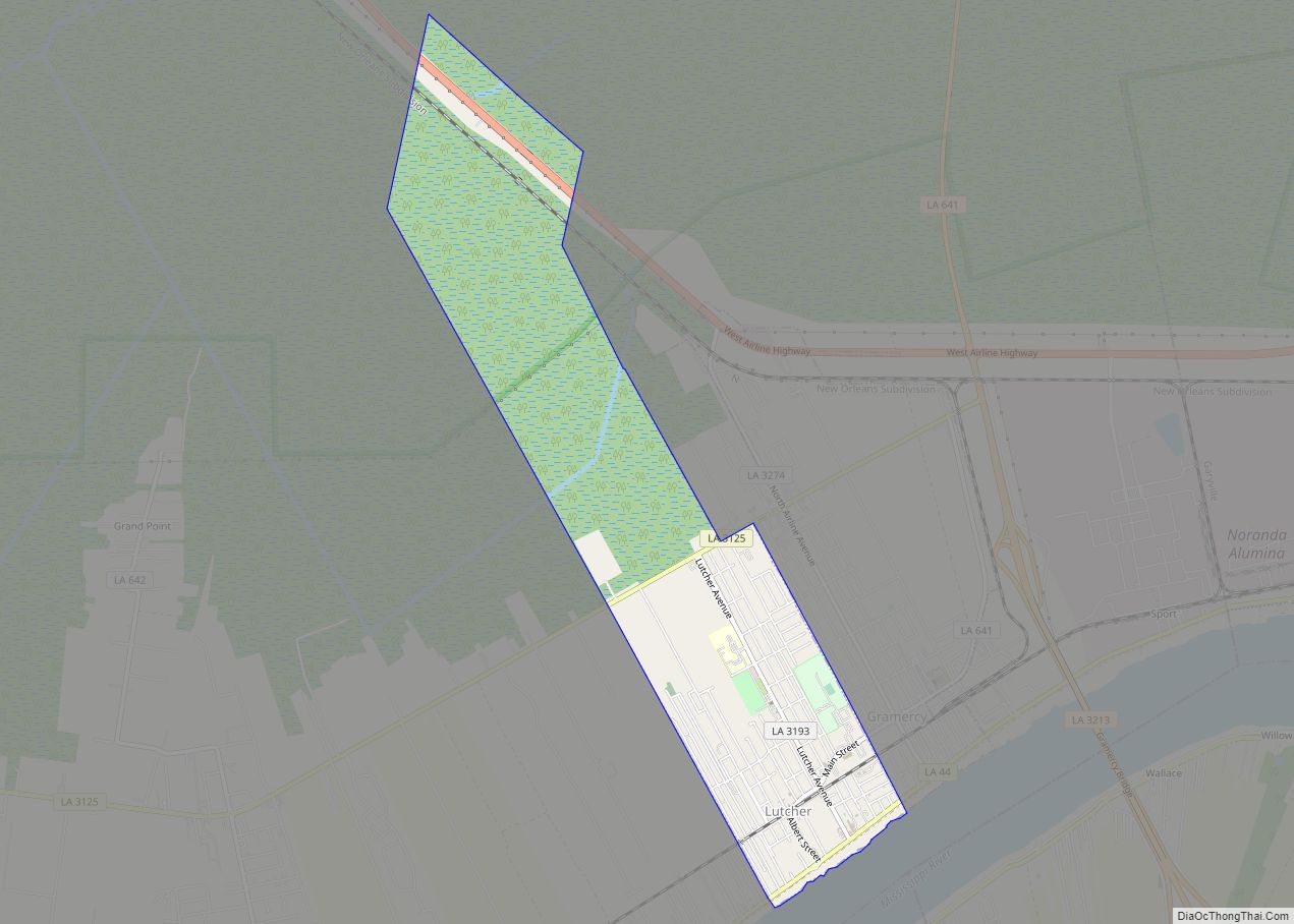
Lutcher is a town in St. James Parish, Louisiana, United States, on the east bank of the Mississippi River. It is part of the New Orleans Metropolitan Area . The population was 3,559 at the 2010 U.S. census, and 3,127 at the 2020 population estimates program. Lutcher town overview: Name: Lutcher town LSAD Code: 43 ... Read more
Louisiana Cities and Places
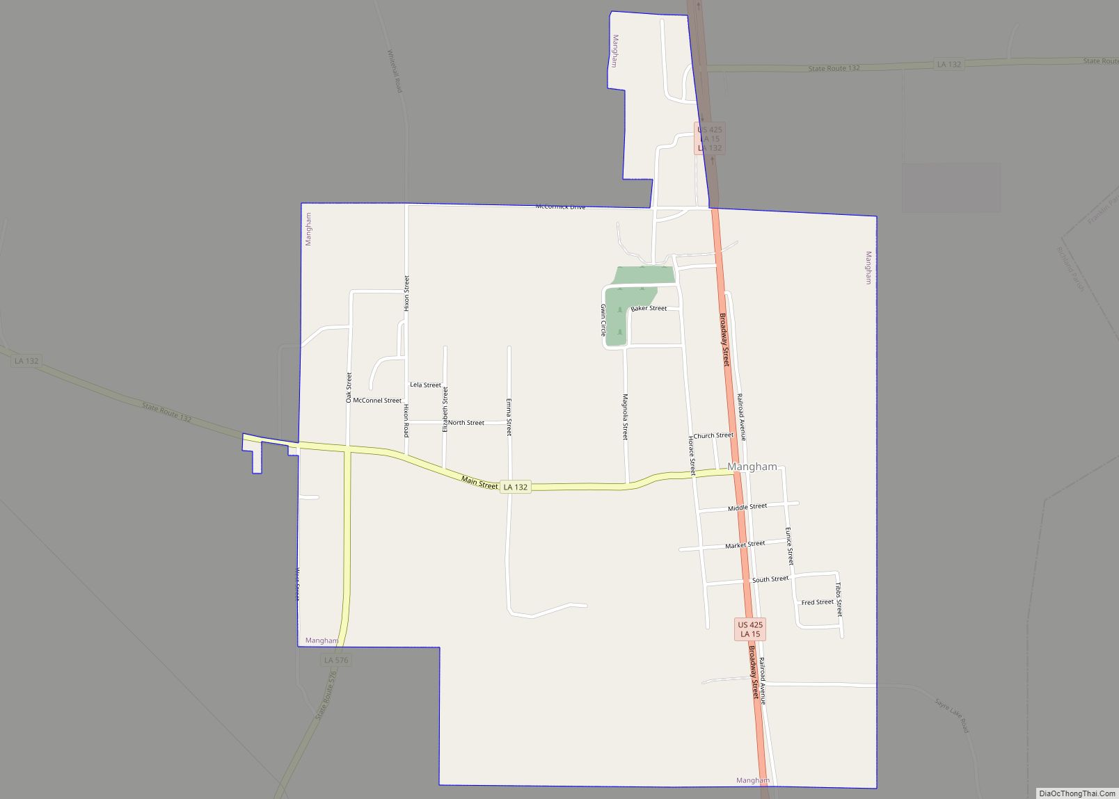
Mangham is a village in Richland Parish in northeastern Louisiana, United States. The population was 672 at the 2010 census. Mangham was established in 1890. It is named for Wiley P. Mangham, the publisher of the Richland Beacon-News, a weekly newspaper in Rayville, the seat of Richland Parish. Mangham town overview: Name: Mangham town LSAD ... Read more
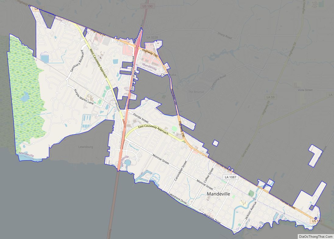
Mandeville is a city in St. Tammany Parish, Louisiana, United States. Its population was 11,560 at the 2010 U.S. census, and 13,192 at the 2020 United States census. Mandeville is located on the north shore of Lake Pontchartrain, south of Interstate 12. It is across the lake from the city of New Orleans and its ... Read more
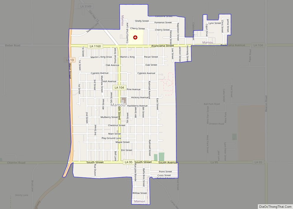
Mamou is a town in Evangeline Parish, Louisiana, United States. The population was 3,242 at the 2010 census, down from 3,566 in 2000. Mamou town overview: Name: Mamou town LSAD Code: 43 LSAD Description: town (suffix) State: Louisiana County: Evangeline Parish Elevation: 62 ft (19 m) Total Area: 1.41 sq mi (3.65 km²) Land Area: 1.41 sq mi (3.65 km²) Water Area: 0.00 sq mi ... Read more
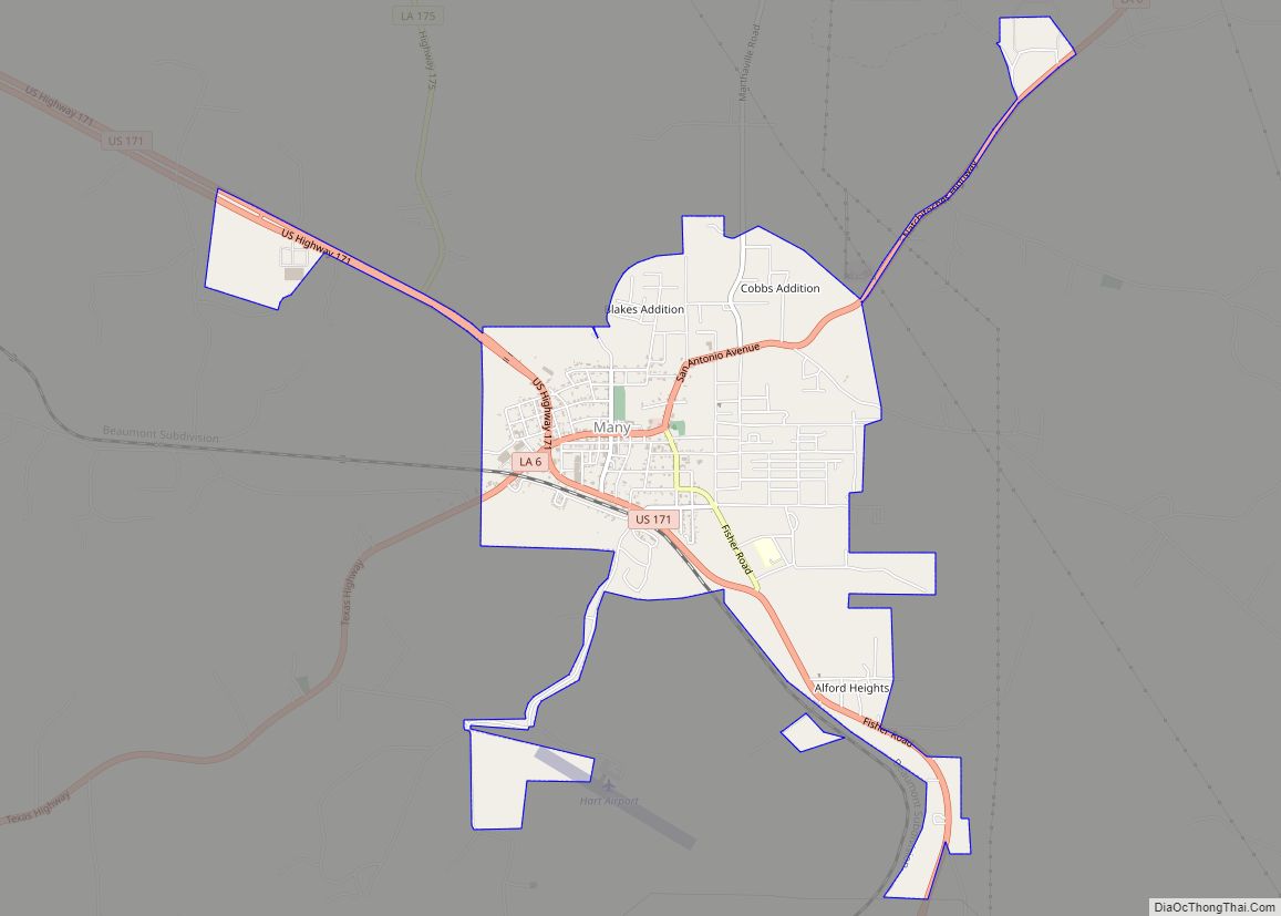
Many (/ˈmæni/) is a town in, and the parish seat of Sabine Parish in western Louisiana, United States. The population was 2,853 at the 2010 census, a decrease of 36 or 1.246 percent from 2000. Many town overview: Name: Many town LSAD Code: 43 LSAD Description: town (suffix) State: Louisiana County: Sabine Parish Elevation: 276 ft ... Read more
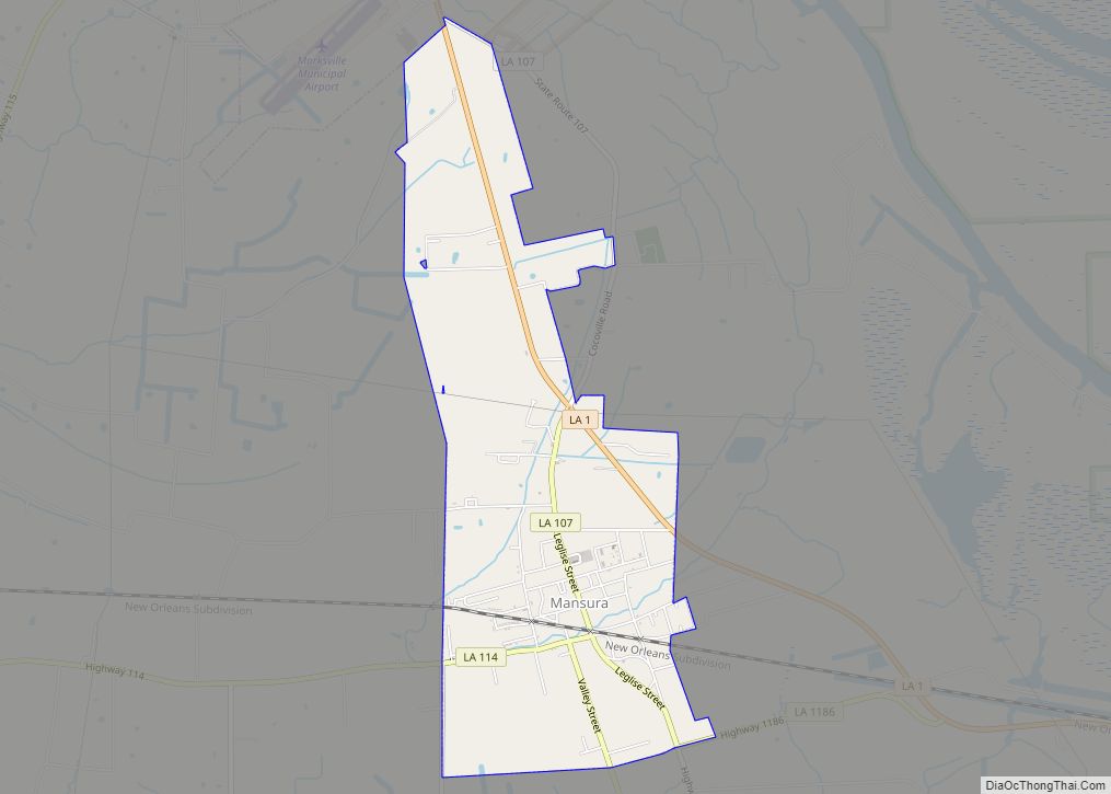
Mansura is a town in Avoyelles Parish, Louisiana, United States. The population was 1,419 at the 2010 census. Mansura is home to the Cochon de Lait Festival, and claims to be the Cochon de Lait capital of the world. Mansura town overview: Name: Mansura town LSAD Code: 43 LSAD Description: town (suffix) State: Louisiana County: ... Read more
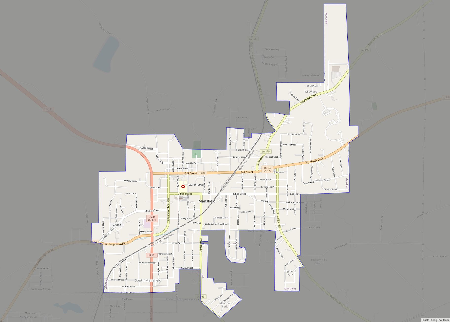
Mansfield is a small city in, and the parish seat of, DeSoto Parish, Louisiana, United States. Mansfield is part of the Shreveport–Bossier City metropolitan statistical area, with a 2020 population of 4,714. Mansfield city overview: Name: Mansfield city LSAD Code: 25 LSAD Description: city (suffix) State: Louisiana County: De Soto Parish Total Area: 3.66 sq mi (9.48 km²) ... Read more
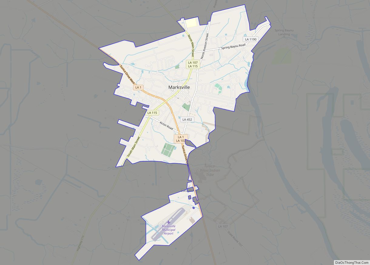
Marksville is a small city in and the parish seat of Avoyelles Parish, Louisiana, United States. The population was 5,702 at the 2010 census, an increase of 165 over the 2000 tabulation of 5,537. Louisiana’s first land-based casino, Paragon Casino Resort, opened in Marksville in June 1994. It is operated by the federally recognized Tunica-Biloxi ... Read more
Marion is a town in Union Parish, Louisiana, United States. The population was 765 at the 2010 census, a decrease from 806 at the 2000 census. This population includes the village of Truxno in the northwestern corner of the city limits. It is part of the Monroe Metropolitan Statistical Area. Marion town overview: Name: Marion ... Read more
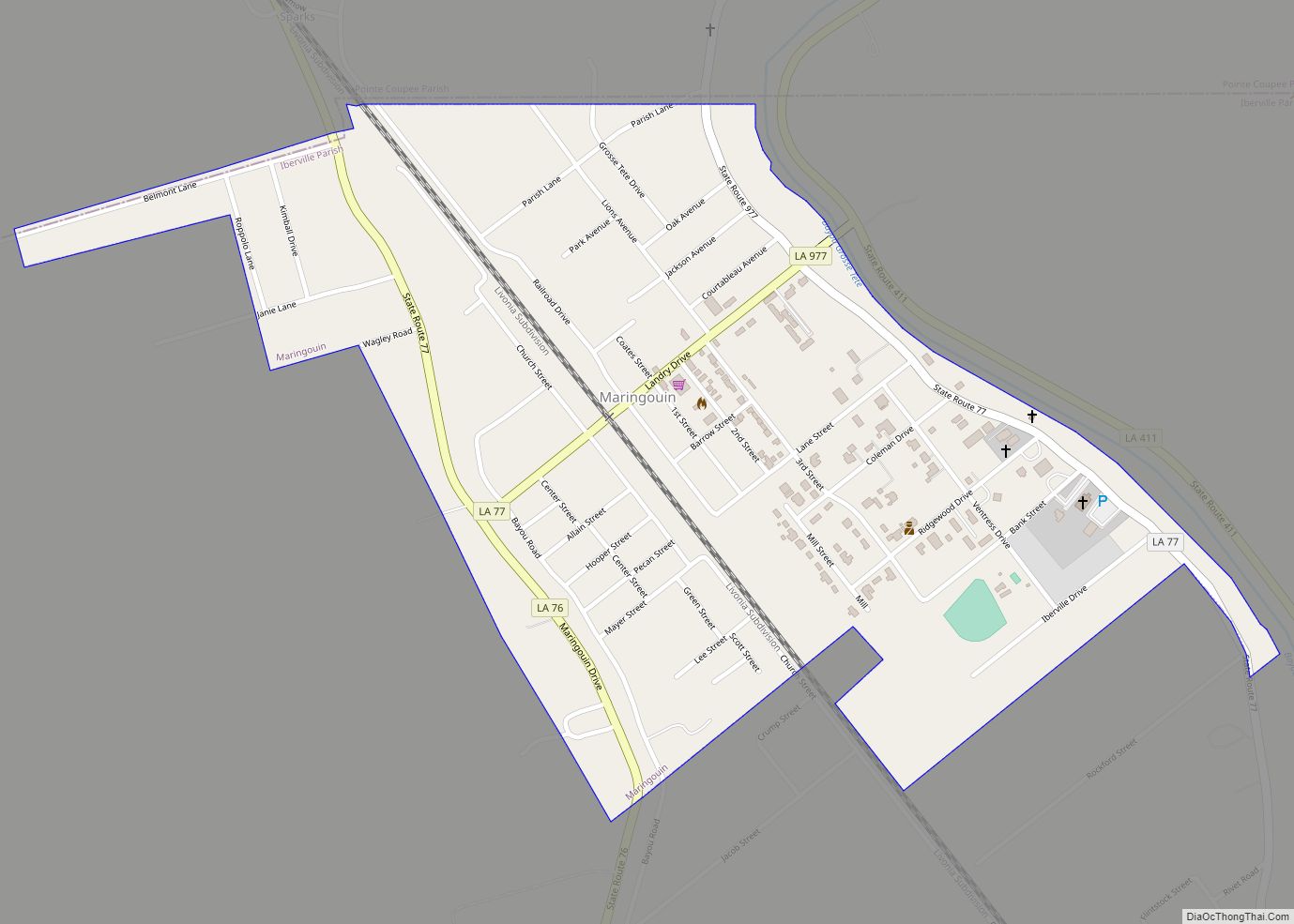
Maringouin is a town in Iberville Parish, Louisiana, United States. The population was 1,098 at the 2010 census, down from 1,262 at the 2000 census. At the 2020 population estimates program, its population was 966. It is part of the Baton Rouge metropolitan statistical area. Maringouin town overview: Name: Maringouin town LSAD Code: 43 LSAD ... Read more
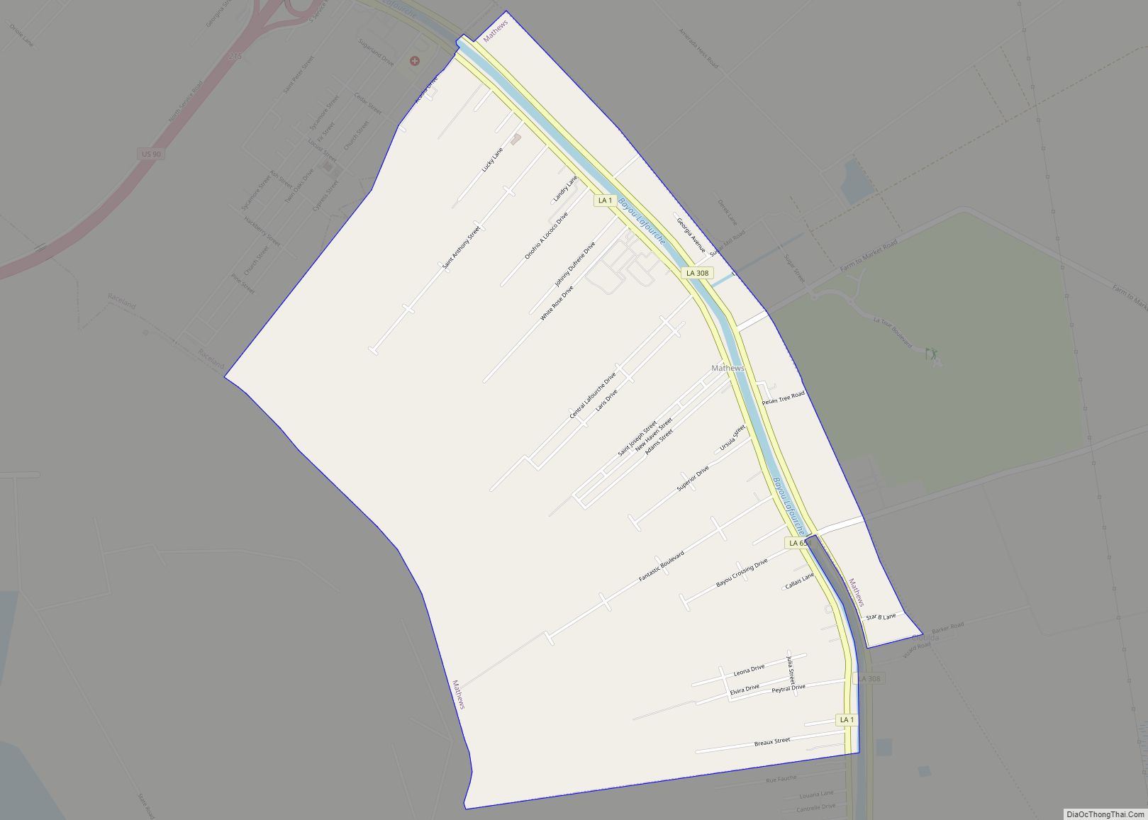
Mathews is a census-designated place (CDP) on Bayou Lafourche in Lafourche Parish, Louisiana, United States. The population was 2,273 in 2020. It is part of the Houma–Bayou Cane–Thibodaux metropolitan statistical area. Mathews CDP overview: Name: Mathews CDP LSAD Code: 57 LSAD Description: CDP (suffix) State: Louisiana County: Lafourche Parish Elevation: 10 ft (3 m) Total Area: 3.98 sq mi ... Read more
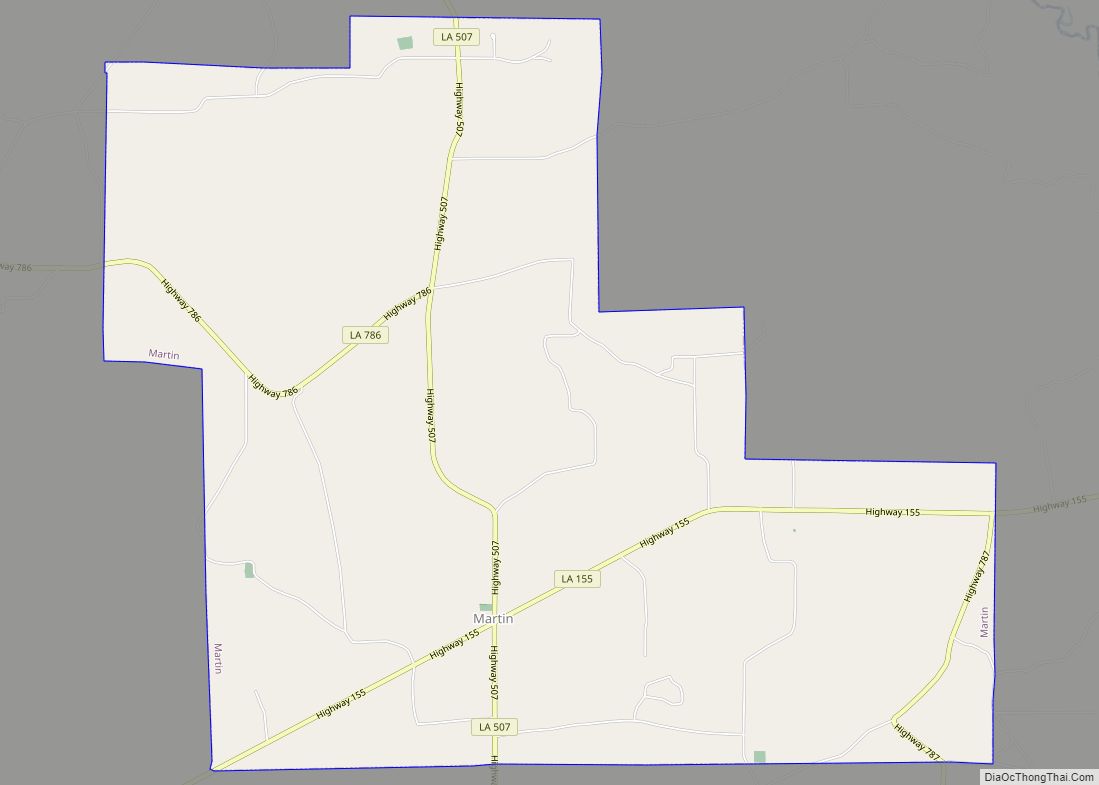
Martin is a village in Red River Parish, Louisiana, United States. The population was 594 at the 2010 census. Martin village overview: Name: Martin village LSAD Code: 47 LSAD Description: village (suffix) State: Louisiana County: Red River Parish Elevation: 233 ft (71 m) Total Area: 11.59 sq mi (30.02 km²) Land Area: 11.55 sq mi (29.91 km²) Water Area: 0.04 sq mi (0.10 km²) Total Population: ... Read more
