Marksville is a small city in and the parish seat of Avoyelles Parish, Louisiana, United States. The population was 5,702 at the 2010 census, an increase of 165 over the 2000 tabulation of 5,537.
Louisiana’s first land-based casino, Paragon Casino Resort, opened in Marksville in June 1994. It is operated by the federally recognized Tunica-Biloxi Indian Tribe, which has a reservation in the parish.
| Name: | Marksville city |
|---|---|
| LSAD Code: | 25 |
| LSAD Description: | city (suffix) |
| State: | Louisiana |
| County: | Avoyelles Parish |
| Founded: | 1794 |
| Total Area: | 4.83 sq mi (12.50 km²) |
| Land Area: | 4.81 sq mi (12.47 km²) |
| Water Area: | 0.01 sq mi (0.03 km²) |
| Total Population: | 5,065 |
| Population Density: | 1,052.36/sq mi (406.28/km²) |
| ZIP code: | 71351 |
| Area code: | 318 |
| FIPS code: | 2248750 |
| Website: | www.cityofmarksville.com |
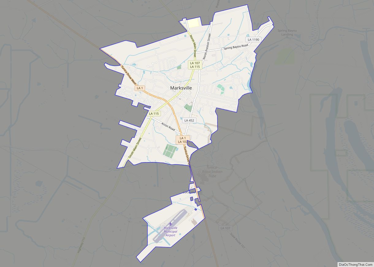
Online Interactive Map
Click on ![]() to view map in "full screen" mode.
to view map in "full screen" mode.
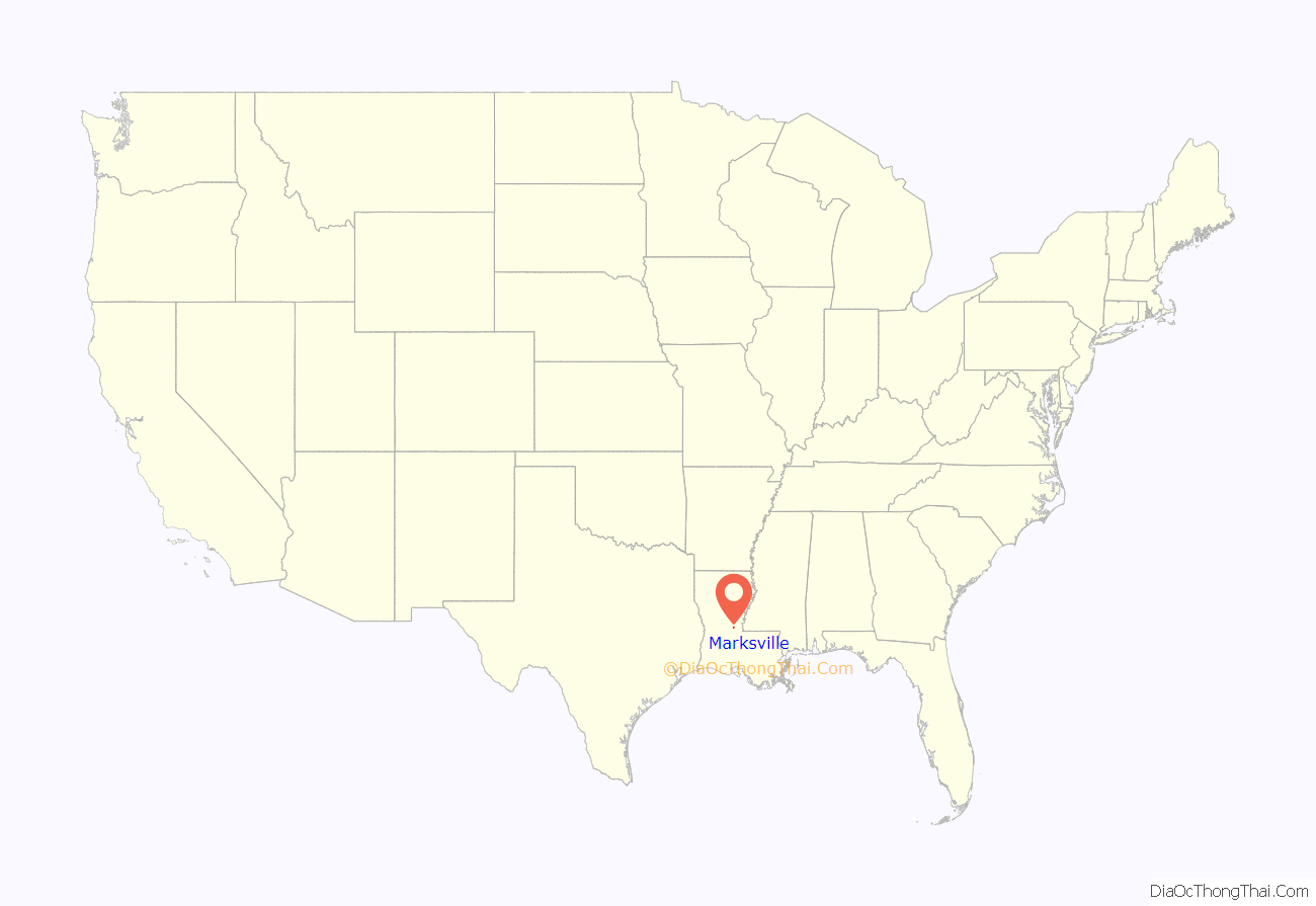
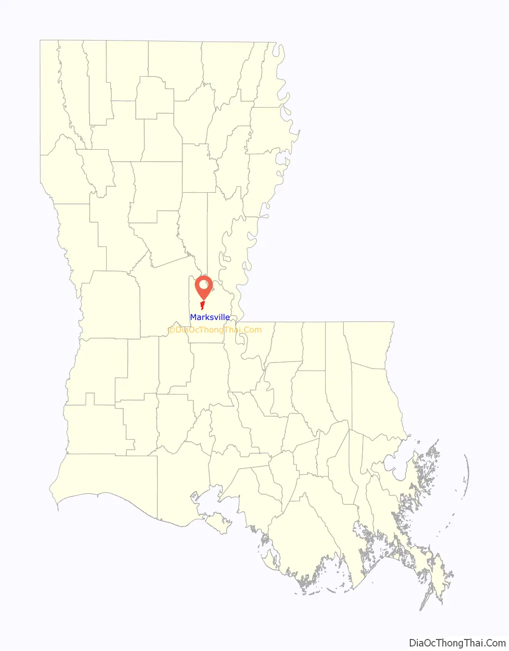
Marksville location map. Where is Marksville city?
History
The land where Marksville was founded on was once a meeting place, leading to the present day Marksville Prehistoric Indian Site.
Marksville is named after Marc Eliche (Marco Litche or Marco de Élitxe, as recorded by the Spanish), a Venetian Jew who established a trading post after his wagon broke down in this area. He was a Sephardic Jewish trader believed to be from Venice. His Italian name was recorded by a Spanish priest as Marco Litche; French priests, who were with colonists, recorded his name as Marc Eliche or Mark Eliché after his trading post was established about 1794. Marksville was noted on Louisiana maps as early as 1809, after the United States acquired the territory in the Louisiana Purchase of 1803. Eliche later donated the land that became the Courthouse Square. It is still the center of Marksville, the parish seat.
Marksville’s population has numerous families of Cajun ancestry, in addition to African Americans, European Americans, and persons of mixed European-African ancestry. Many of the families had ancestors here since the city was incorporated. .
Marksville became the trading center of a rural area developed as cotton plantations. After the United States outlawed the Atlantic slave trade in 1808, enslavers purchased African-American slaves through the domestic slave trade; a total of more than one million were transported to the Deep South from the Upper South in the first half of the 19th century. Enslavers typically bought slaves from markets in New Orleans, where they had been taken via the Mississippi River or by the coastal slave trade at sea. Solomon Northup, a free black from Saratoga Springs, New York, was kidnapped and sold into slavery in Louisiana. After being held for nearly 12 years on plantations in Avoyelles Parish, he was freed in 1853 with the help of Marksville and New York officials. Northup’s memoir, which he published after returning to New York, was the basis of the 2013 movie 12 Years A Slave, of the same name.
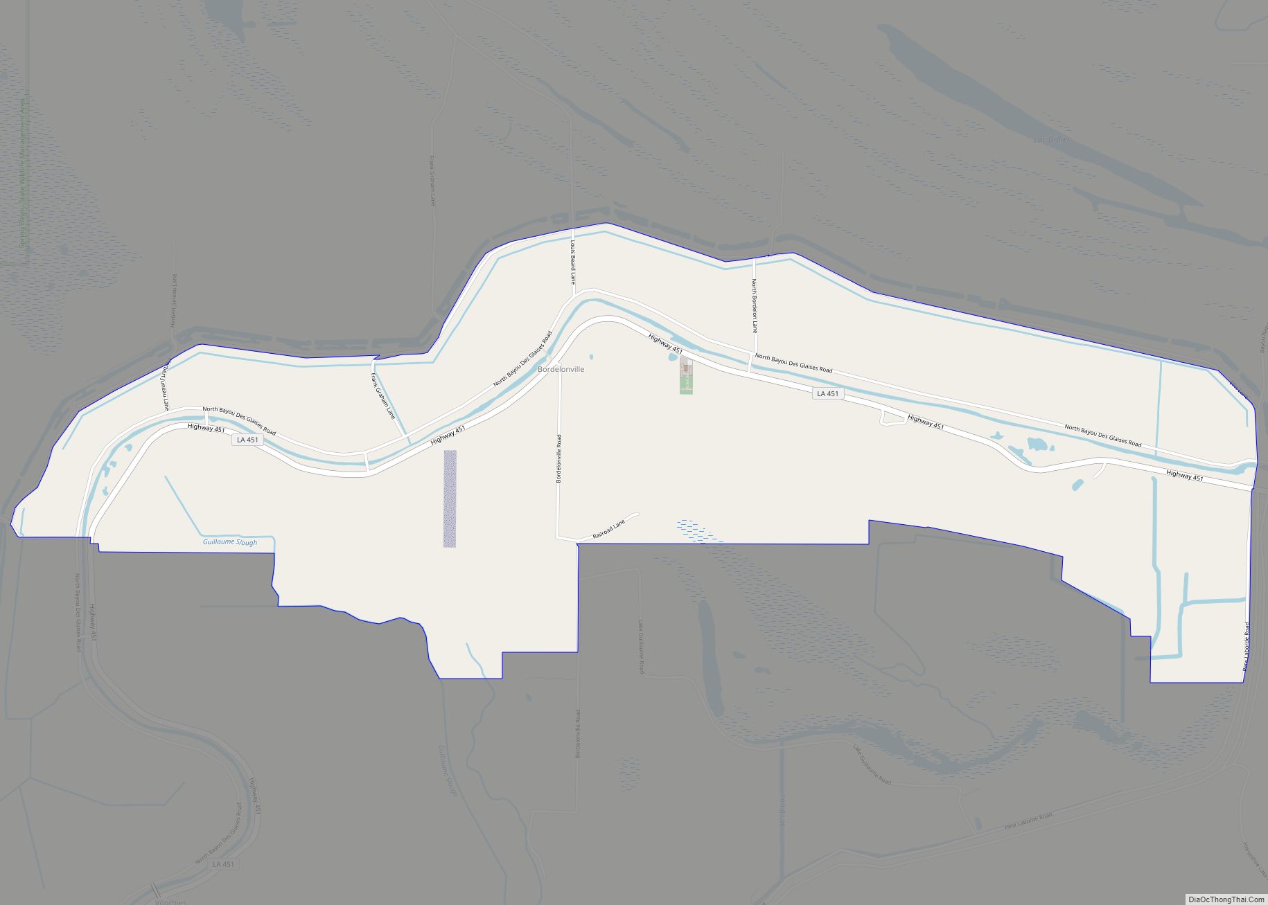
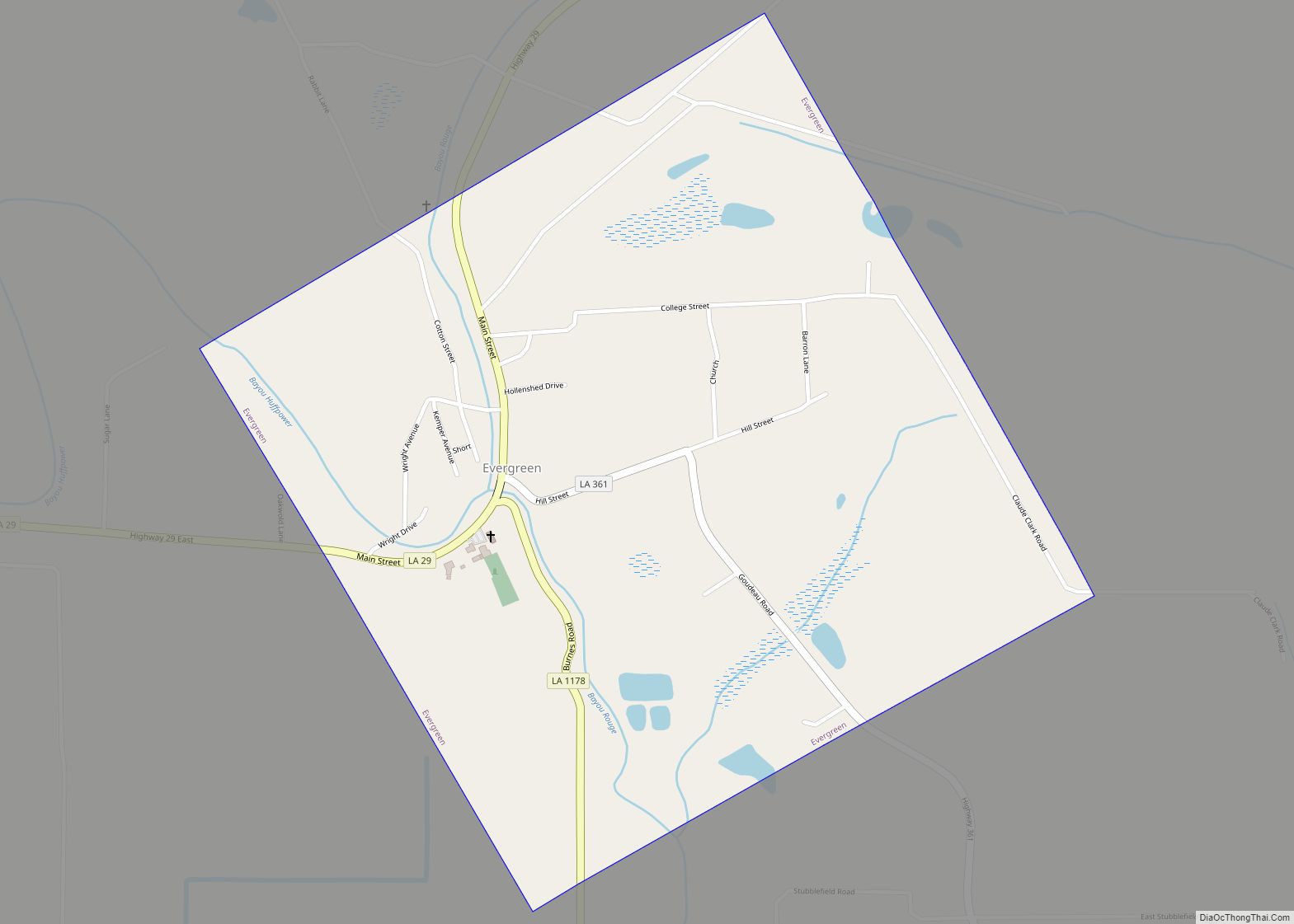
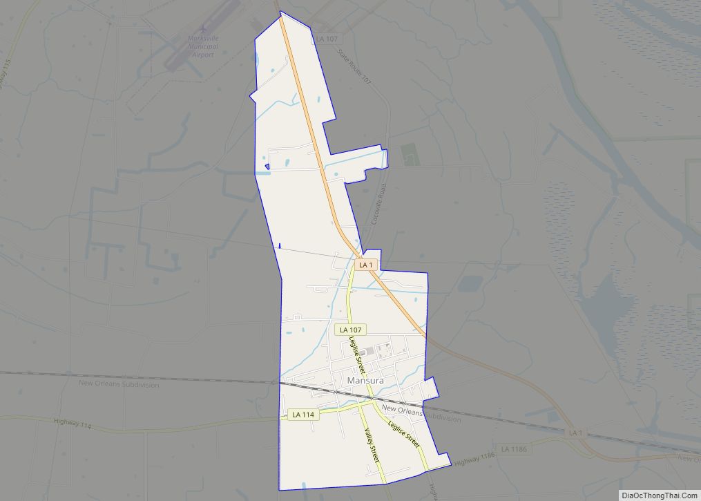
Marksville Road Map
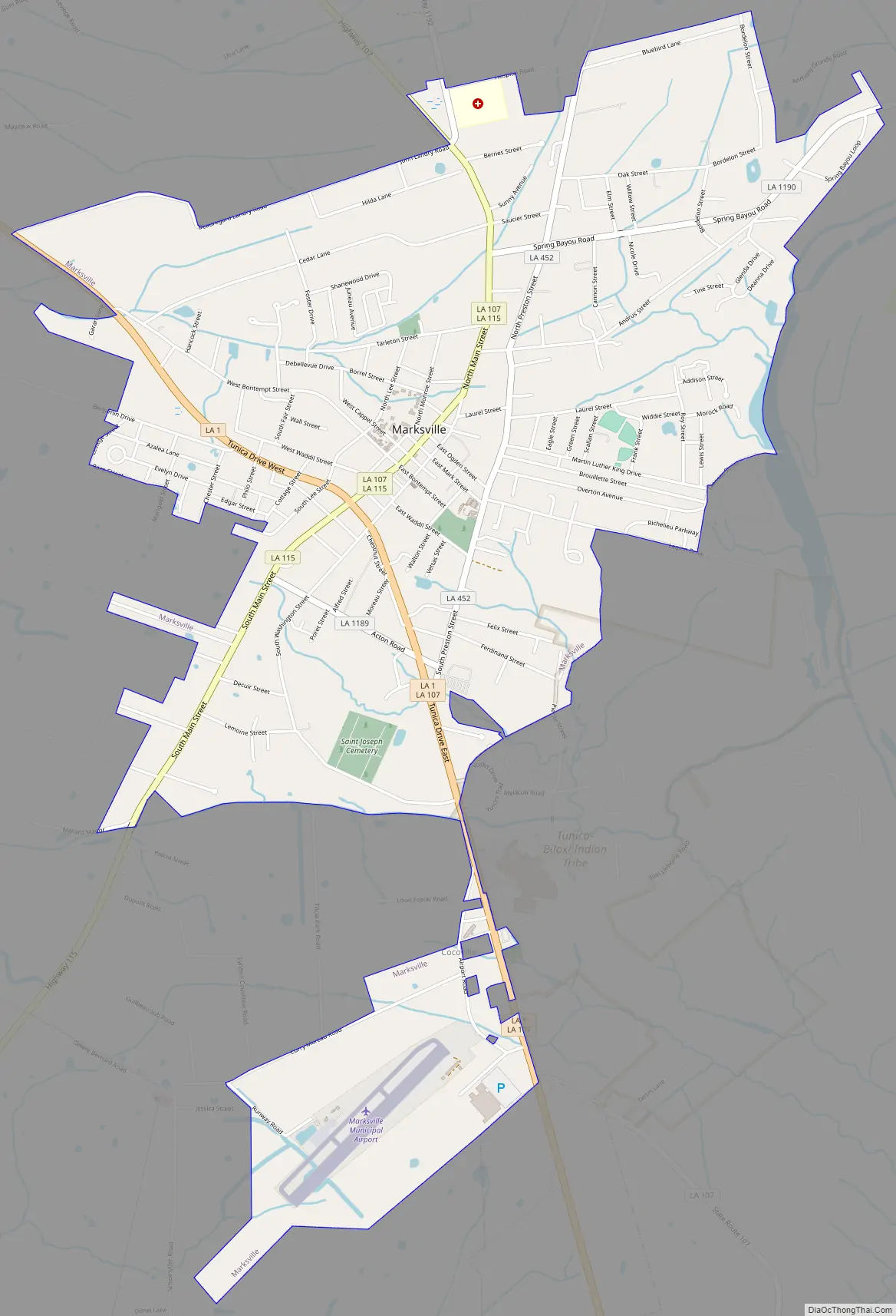
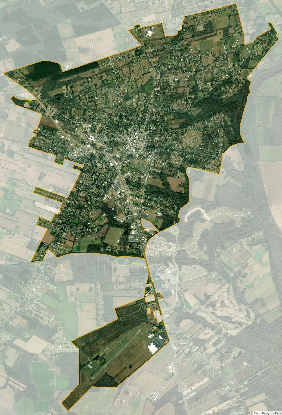
Marksville city Satellite Map
Geography
Marksville is located at 31°7′36″N 92°3′58″W / 31.12667°N 92.06611°W / 31.12667; -92.06611 (31.126595, −92.066073).
According to the United States Census Bureau, the city has a total area of 4.1 square miles (11 km), of which 4.1 square miles (11 km) is land and 0.24% is water.
See also
Map of Louisiana State and its subdivision:- Acadia
- Allen
- Ascension
- Assumption
- Avoyelles
- Beauregard
- Bienville
- Bossier
- Caddo
- Calcasieu
- Caldwell
- Cameron
- Catahoula
- Claiborne
- Concordia
- De Soto
- East Baton Rouge
- East Carroll
- East Feliciana
- Evangeline
- Franklin
- Grant
- Iberia
- Iberville
- Jackson
- Jefferson
- Jefferson Davis
- La Salle
- Lafayette
- Lafourche
- Lincoln
- Livingston
- Madison
- Morehouse
- Natchitoches
- Orleans
- Ouachita
- Plaquemines
- Pointe Coupee
- Rapides
- Red River
- Richland
- Sabine
- Saint Bernard
- Saint Charles
- Saint Helena
- Saint James
- Saint John the Baptist
- Saint Landry
- Saint Martin
- Saint Mary
- Saint Tammany
- Tangipahoa
- Tensas
- Terrebonne
- Union
- Vermilion
- Vernon
- Washington
- Webster
- West Baton Rouge
- West Carroll
- West Feliciana
- Winn
- Alabama
- Alaska
- Arizona
- Arkansas
- California
- Colorado
- Connecticut
- Delaware
- District of Columbia
- Florida
- Georgia
- Hawaii
- Idaho
- Illinois
- Indiana
- Iowa
- Kansas
- Kentucky
- Louisiana
- Maine
- Maryland
- Massachusetts
- Michigan
- Minnesota
- Mississippi
- Missouri
- Montana
- Nebraska
- Nevada
- New Hampshire
- New Jersey
- New Mexico
- New York
- North Carolina
- North Dakota
- Ohio
- Oklahoma
- Oregon
- Pennsylvania
- Rhode Island
- South Carolina
- South Dakota
- Tennessee
- Texas
- Utah
- Vermont
- Virginia
- Washington
- West Virginia
- Wisconsin
- Wyoming