Lutcher is a town in St. James Parish, Louisiana, United States, on the east bank of the Mississippi River. It is part of the New Orleans Metropolitan Area . The population was 3,559 at the 2010 U.S. census, and 3,127 at the 2020 population estimates program.
| Name: | Lutcher town |
|---|---|
| LSAD Code: | 43 |
| LSAD Description: | town (suffix) |
| State: | Louisiana |
| County: | St. James Parish |
| Elevation: | 16 ft (5 m) |
| Total Area: | 3.40 sq mi (8.82 km²) |
| Land Area: | 3.37 sq mi (8.73 km²) |
| Water Area: | 0.03 sq mi (0.09 km²) |
| Total Population: | 3,133 |
| Population Density: | 929.40/sq mi (358.86/km²) |
| Area code: | 225 |
| FIPS code: | 2246720 |
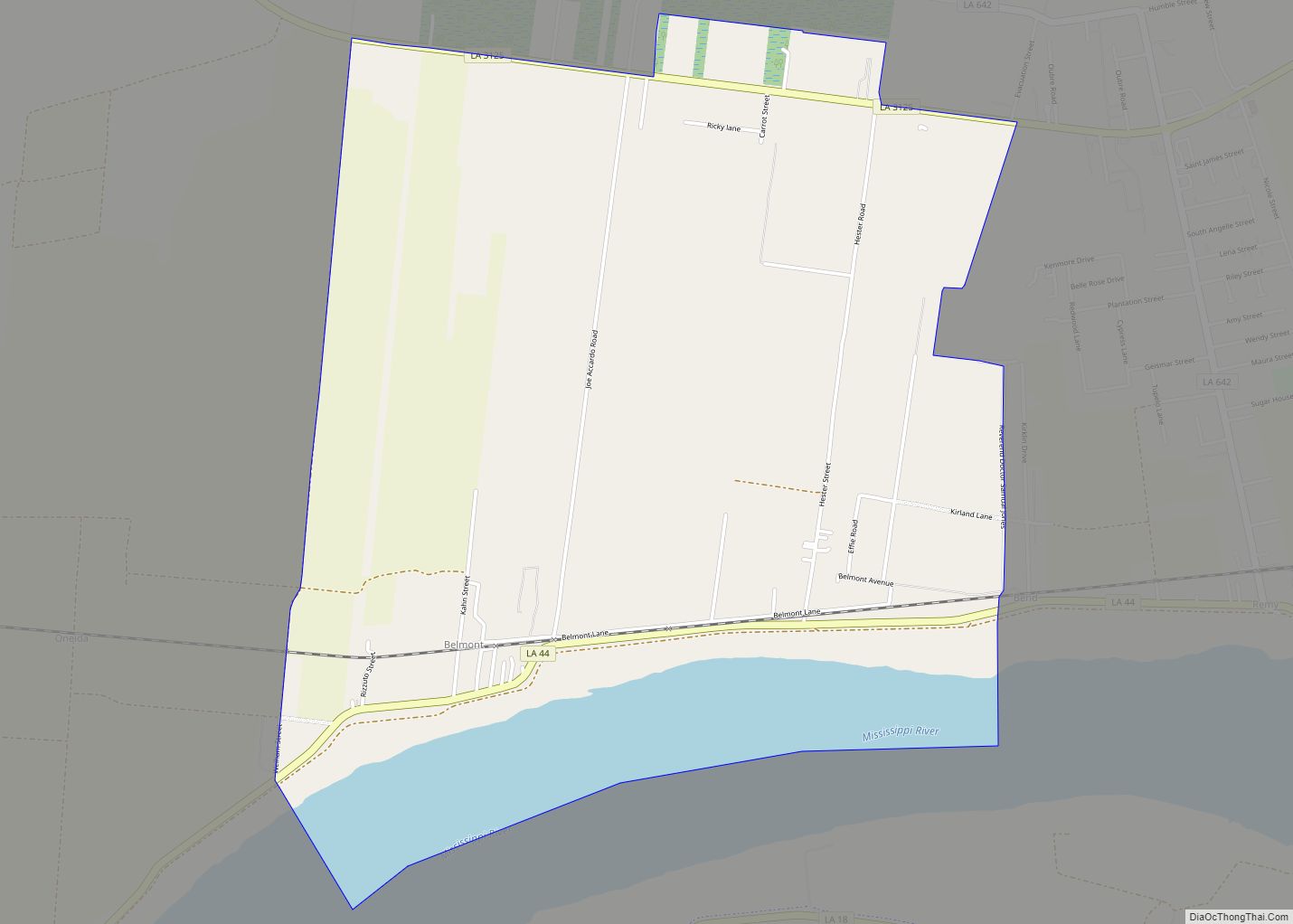
Online Interactive Map
Click on ![]() to view map in "full screen" mode.
to view map in "full screen" mode.
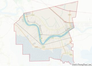
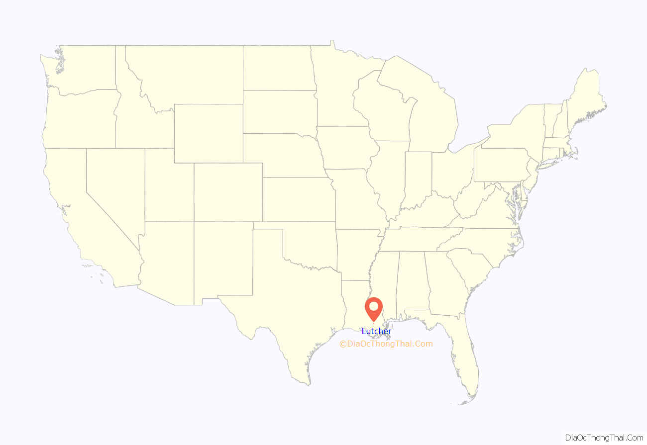
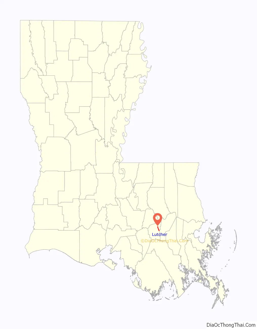
Lutcher location map. Where is Lutcher town?
History
Lutcher was established as a sawmill town, named after Henry J. Lutcher who was a sawmill operator and businessman. Lutcher is also where James Mather and his family established a sugar plantation, and where Mather died in 1821. The Bank of Lutcher was organized by George H. Jones, M. D., son of Dr. John Welch Jones.
Starting in the late 1800s, Christmas bonfires are built along the Mississippi River levee near Lutcher. This tradition has often occurred on Christmas Eve and it says that the bonfires are made to light a path for Papa Noel.
On August 29, 2005, Lutcher sustained damage from Hurricane Katrina. On the same day sixteen years later, the town sustained significant damage from Hurricane Ida.
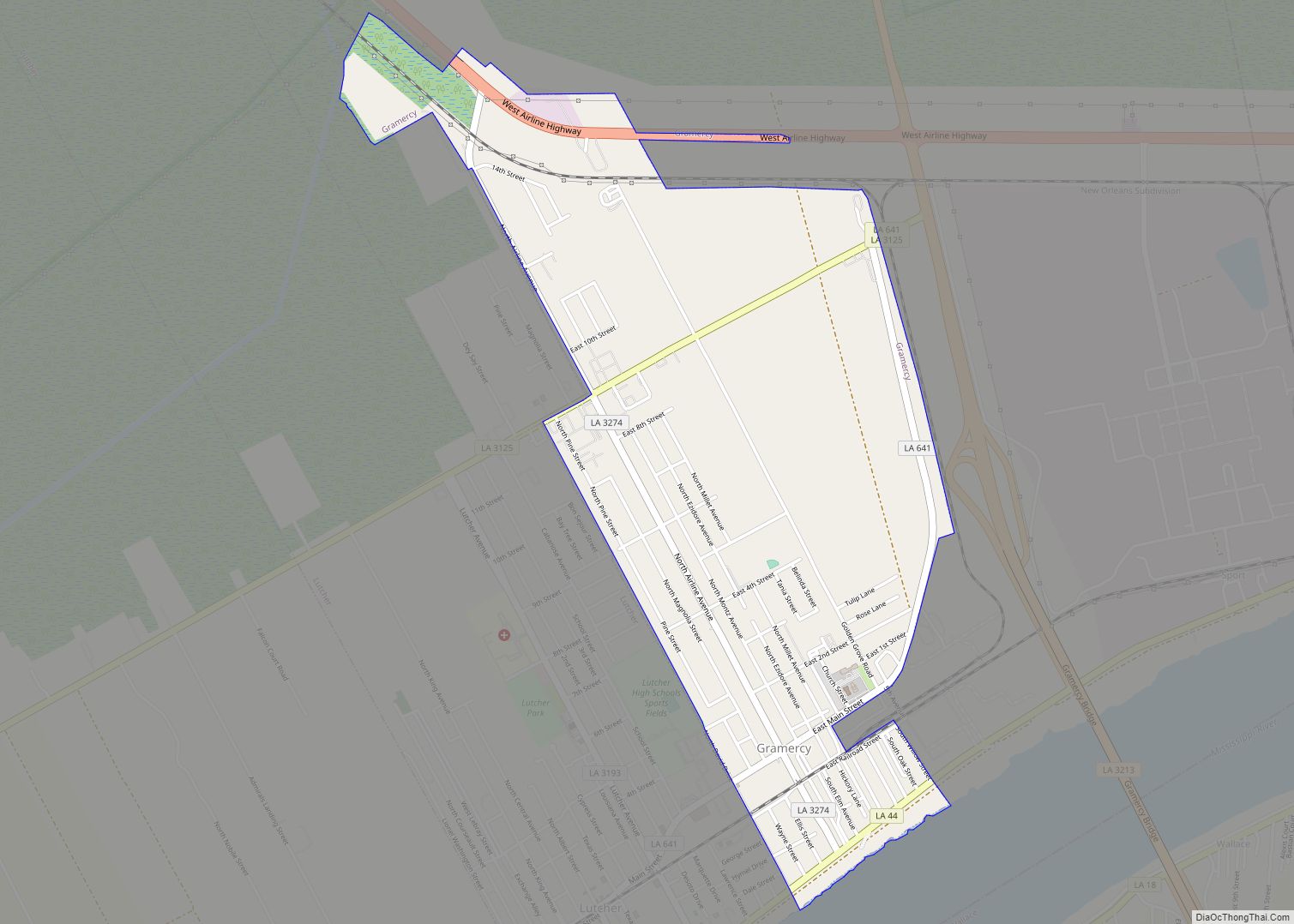
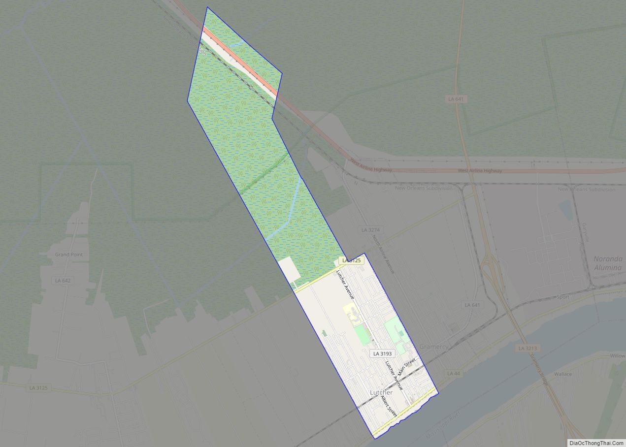
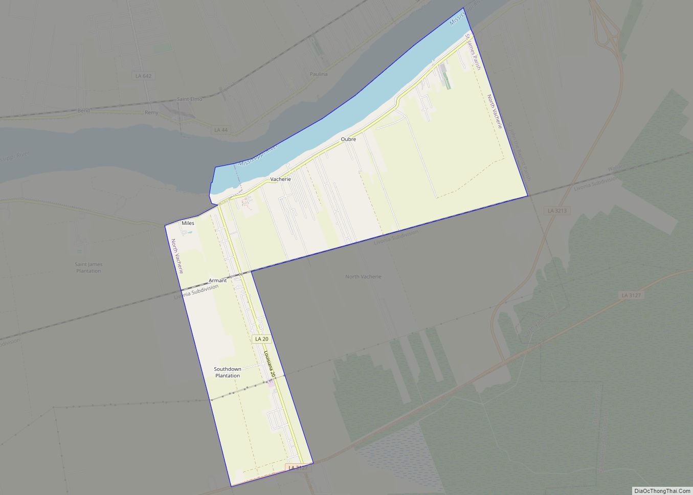
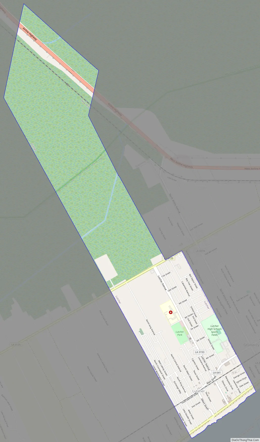
Lutcher Road Map
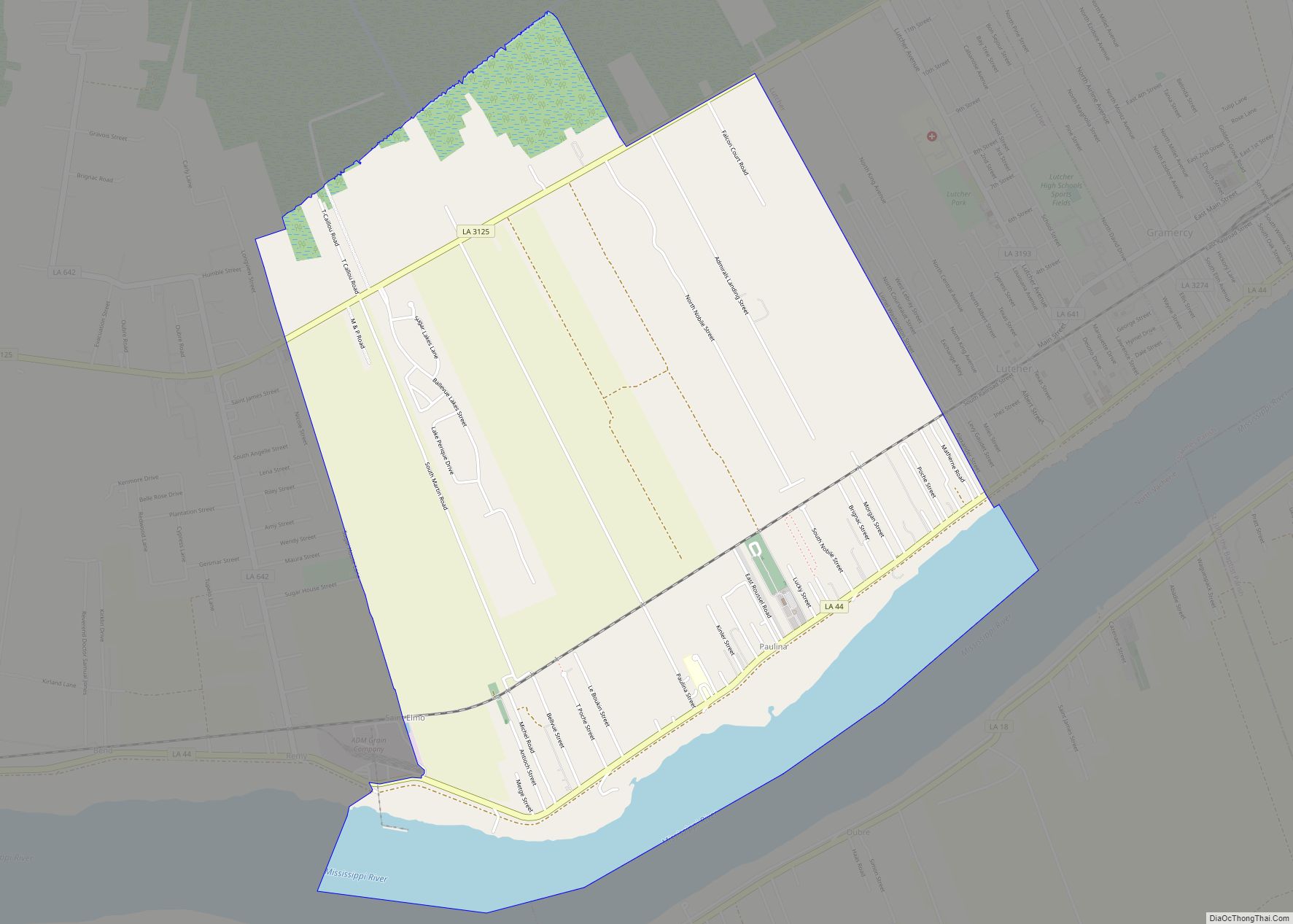
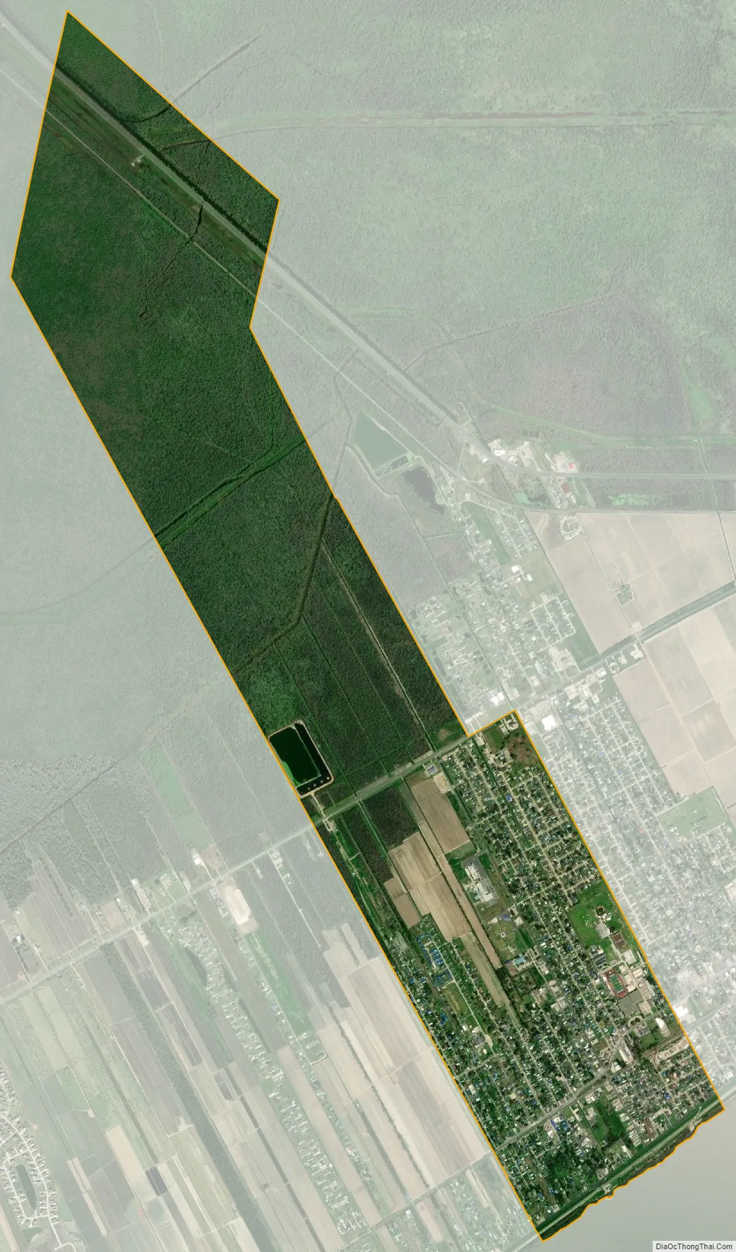
Lutcher city Satellite Map
Geography
Lutcher is located at 30°2′56″N 90°41′59″W / 30.04889°N 90.69972°W / 30.04889; -90.69972 (30.048867, -90.699744). According to the United States Census Bureau, the town has a total area of 3.4 square miles (8.8 km), of which 3.4 square miles (8.7 km) is land and 0.04 square mile (0.1 km) (0.88%) is water. Lutcher is bordered by the Mississippi River and the town of Gramercy. Lutcher is approximately 36 miles west of New Orleans
See also
Map of Louisiana State and its subdivision:- Acadia
- Allen
- Ascension
- Assumption
- Avoyelles
- Beauregard
- Bienville
- Bossier
- Caddo
- Calcasieu
- Caldwell
- Cameron
- Catahoula
- Claiborne
- Concordia
- De Soto
- East Baton Rouge
- East Carroll
- East Feliciana
- Evangeline
- Franklin
- Grant
- Iberia
- Iberville
- Jackson
- Jefferson
- Jefferson Davis
- La Salle
- Lafayette
- Lafourche
- Lincoln
- Livingston
- Madison
- Morehouse
- Natchitoches
- Orleans
- Ouachita
- Plaquemines
- Pointe Coupee
- Rapides
- Red River
- Richland
- Sabine
- Saint Bernard
- Saint Charles
- Saint Helena
- Saint James
- Saint John the Baptist
- Saint Landry
- Saint Martin
- Saint Mary
- Saint Tammany
- Tangipahoa
- Tensas
- Terrebonne
- Union
- Vermilion
- Vernon
- Washington
- Webster
- West Baton Rouge
- West Carroll
- West Feliciana
- Winn
- Alabama
- Alaska
- Arizona
- Arkansas
- California
- Colorado
- Connecticut
- Delaware
- District of Columbia
- Florida
- Georgia
- Hawaii
- Idaho
- Illinois
- Indiana
- Iowa
- Kansas
- Kentucky
- Louisiana
- Maine
- Maryland
- Massachusetts
- Michigan
- Minnesota
- Mississippi
- Missouri
- Montana
- Nebraska
- Nevada
- New Hampshire
- New Jersey
- New Mexico
- New York
- North Carolina
- North Dakota
- Ohio
- Oklahoma
- Oregon
- Pennsylvania
- Rhode Island
- South Carolina
- South Dakota
- Tennessee
- Texas
- Utah
- Vermont
- Virginia
- Washington
- West Virginia
- Wisconsin
- Wyoming