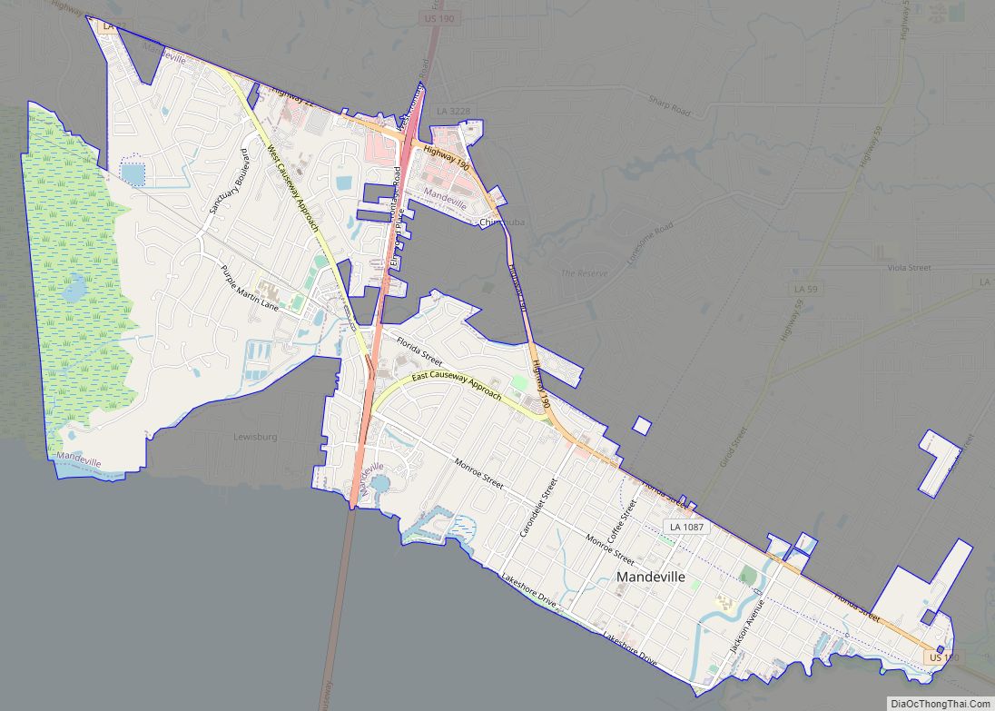
Mandeville is a city in St. Tammany Parish, Louisiana, United States. Its population was 11,560 at the 2010 U.S. census, and 13,192 at the 2020 United States census. Mandeville is located on the north shore of Lake Pontchartrain, south of Interstate 12. It is across the lake from the city of New Orleans and its southshore suburbs. It is part of the New Orleans–Metairie–Kenner metropolitan area.
| Name: | Mandeville city |
|---|---|
| LSAD Code: | 25 |
| LSAD Description: | city (suffix) |
| State: | Louisiana |
| County: | St. Tammany Parish |
| Incorporated: | 1840 |
| Elevation: | 7 ft (2 m) |
| Total Area: | 7.29 sq mi (18.87 km²) |
| Land Area: | 7.12 sq mi (18.44 km²) |
| Water Area: | 0.16 sq mi (0.42 km²) |
| Total Population: | 13,192 |
| Population Density: | 1,852.29/sq mi (715.21/km²) |
| ZIP code: | 70448, 70471, 70433 |
| Area code: | 985 |
| FIPS code: | 2248225 |
| Website: | www.cityofmandeville.com |
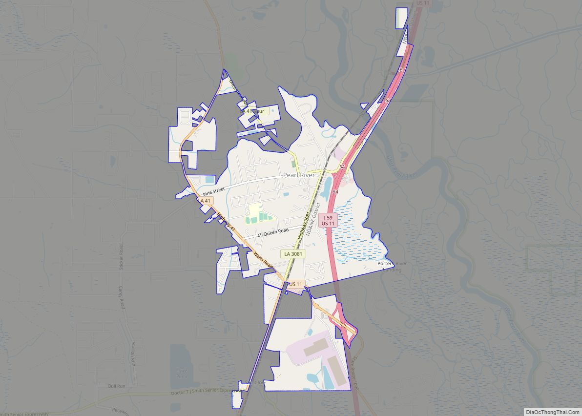
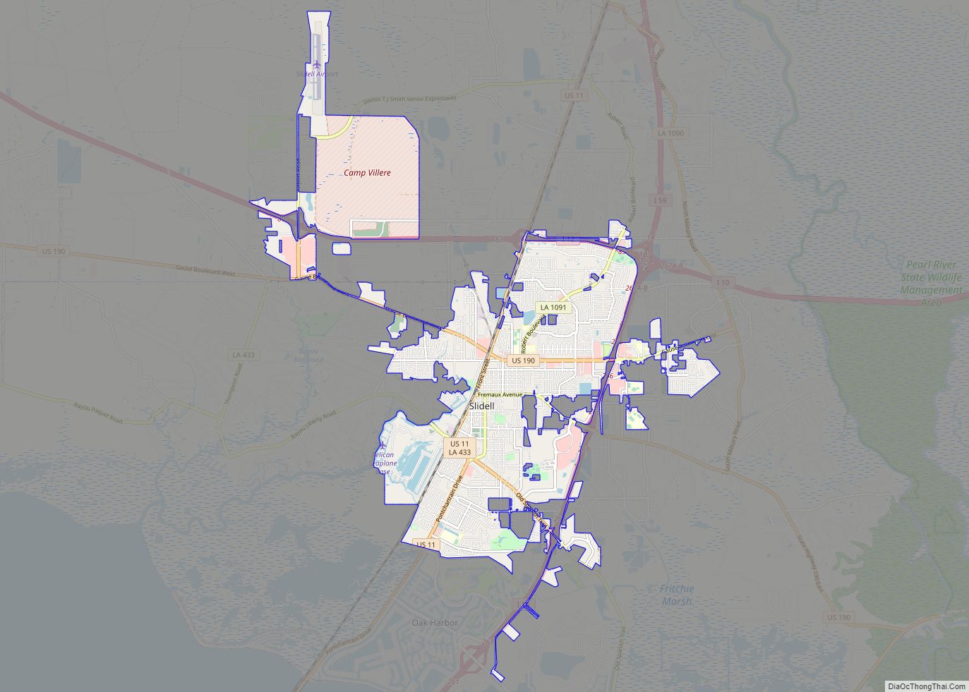
Online Interactive Map
Click on ![]() to view map in "full screen" mode.
to view map in "full screen" mode.
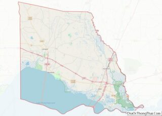
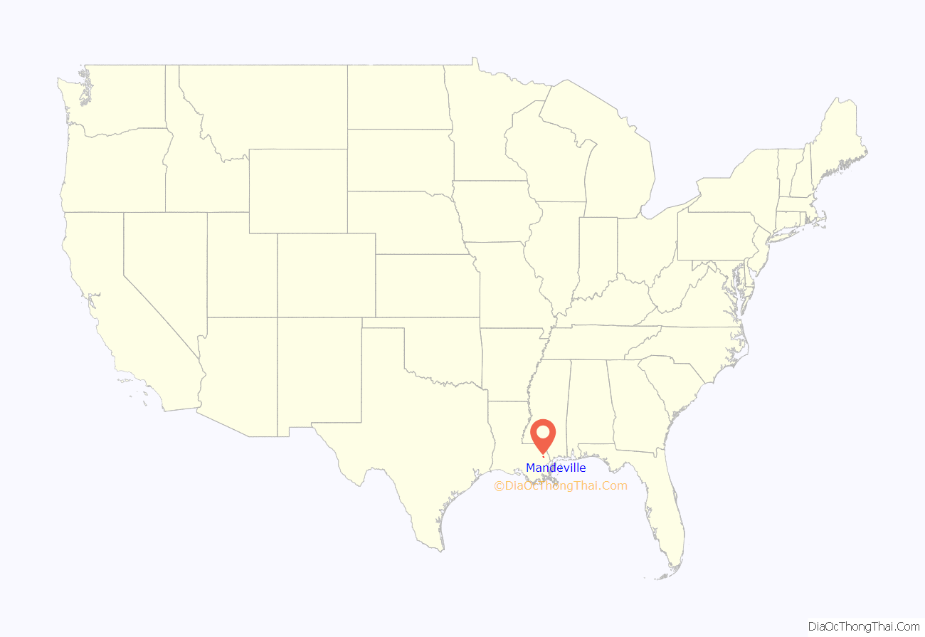
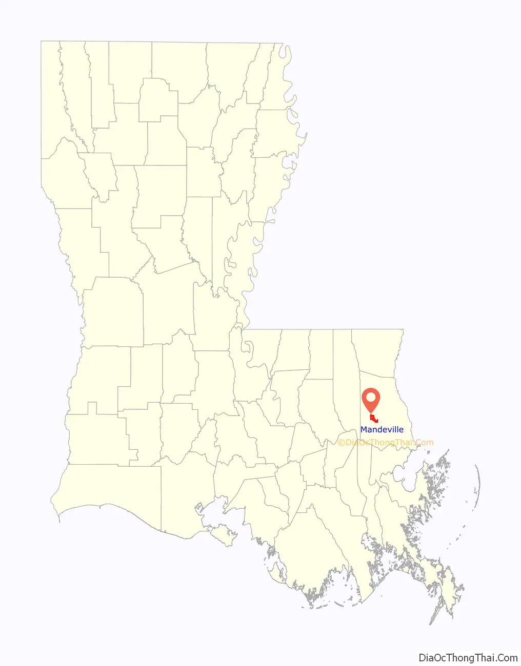
Mandeville location map. Where is Mandeville city?
History
The city of Mandeville was founded in 1834 by Bernard Xavier de Marigny de Mandeville (1785-1868). The Marigny family was a prominent family of Louisiana, owning nearly a third of the city of New Orleans. The area had long been agricultural land when the town of Mandeville was laid out in 1834 by developer Bernard Xavier de Marigny de Mandeville, more often known as Bernard de Marigny. In 1840, Mandeville was incorporated as a town. It became a popular summer destination for well-to-do New Orleanians wishing to escape the city’s heat.
In the mid-19th century, regular daily steamboat traffic between New Orleans and Mandeville began, and by the end of the Victorian era, it had become a popular weekend destination of the New Orleans middle class, as well. Bands played music on the ships going across the lake and at pavilions and dance halls in Mandeville, and the town became one of the first places where the new “jazz” music was heard outside of New Orleans. Bunk Johnson, Buddy Petit, Papa Celestin, George Lewis, Kid Ory, Edmond Hall, Chester Zardis, and many other early jazz artists regularly played in Mandeville.
In the late 19th century, Mandeville was home of the Harvey School (Mandeville), a college preparatory institution.
Two buildings from early jazz history still stand in Mandeville. Ruby’s Roadhouse has been in continuous operation since the 1920s (formerly Buck’s Brown Derby and Ruby’s Rendezvous) and is still a popular bar and live music venue today. The Dew Drop Social and Benevolent Hall, listed on the National Register of Historic Places, opened in January 1895. For years, the hall hosted some of the jazz greats and was reopened in 2000 as the Dew Drop Jazz and Social Hall, a live jazz venue. (This was one of the earliest “Dew Drop” dance halls; venues across the South were similarly named, including the club in New Orleans where Little Richard got his start.)
In 1956, the first span of the Lake Pontchartrain Causeway opened to automobile traffic. A second span was added in 1969. The new road spurred the growth of Mandeville and the surrounding area as a suburban commuter community for people working in New Orleans. This trend increased in the 1980s and 1990s, further integrating Mandeville into the greater New Orleans metropolitan area.
Mandeville is home to Northlake Behavioral Health System, formerly Southeast Louisiana Hospital, a mental-health facility. Louisiana governor Earl Long was committed here in 1959 amid much controversy. It remains as one of the largest mental health providers in Louisiana. In 2016, Northlake became a 501(c)(3) not–or profit hospital with a mission to provide quality services to individuals with mental and behavioral concerns. The hospital and its team of professionals are valued members of the community, who prioritize giving back through different partnerships and organizations. Northlake is a teaching hospital that provides Louisiana medical and clinical professionals an active and supportive teaching environment. Northlake Behavioral Health System is involved with the National Alliance on Mental Illness and Louisiana State University, and is accredited by the Joint Commission.
Mandeville is also home to the largest certified southern live oak tree, the Seven Sisters Oak.
Mandeville was affected by Hurricane Katrina’s storm surge on August 29, 2005, and received water and wind damage. Parts of the city also experienced less dramatic flooding when Lake Pontchartrain overflowed its banks due to Hurricane Ike in 2008. By 2009, most of the reconstruction from Katrina was completed. Many homes and businesses in areas that experienced flooding have been elevated.
Mandeville was named one of the Relocate America Top 100 Places to Live in 2004, 2005, 2007, 2008, and 2009.
Mandeville was among the recipients of Google’s eCity award in 2013, given to those cities whose small businesses most effectively employ the internet to attract customers.
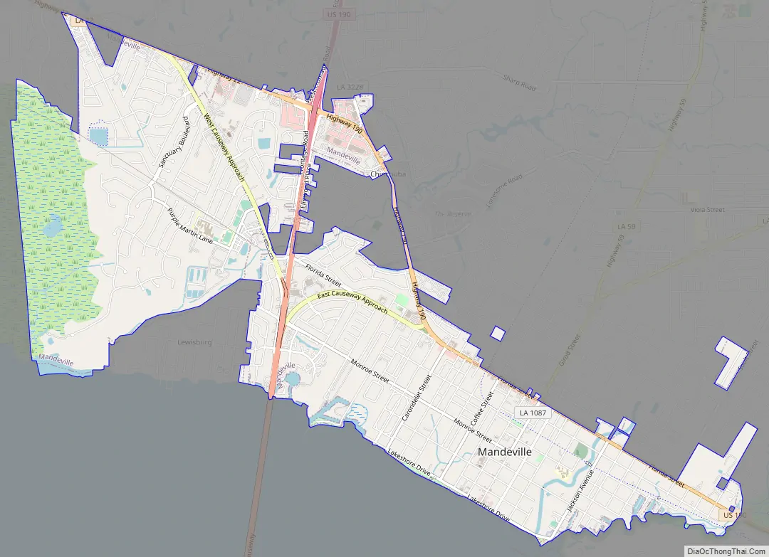
Mandeville Road Map
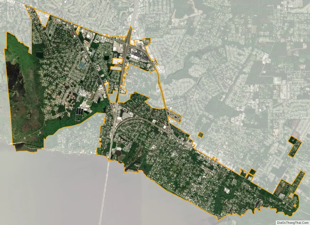
Mandeville city Satellite Map
Geography
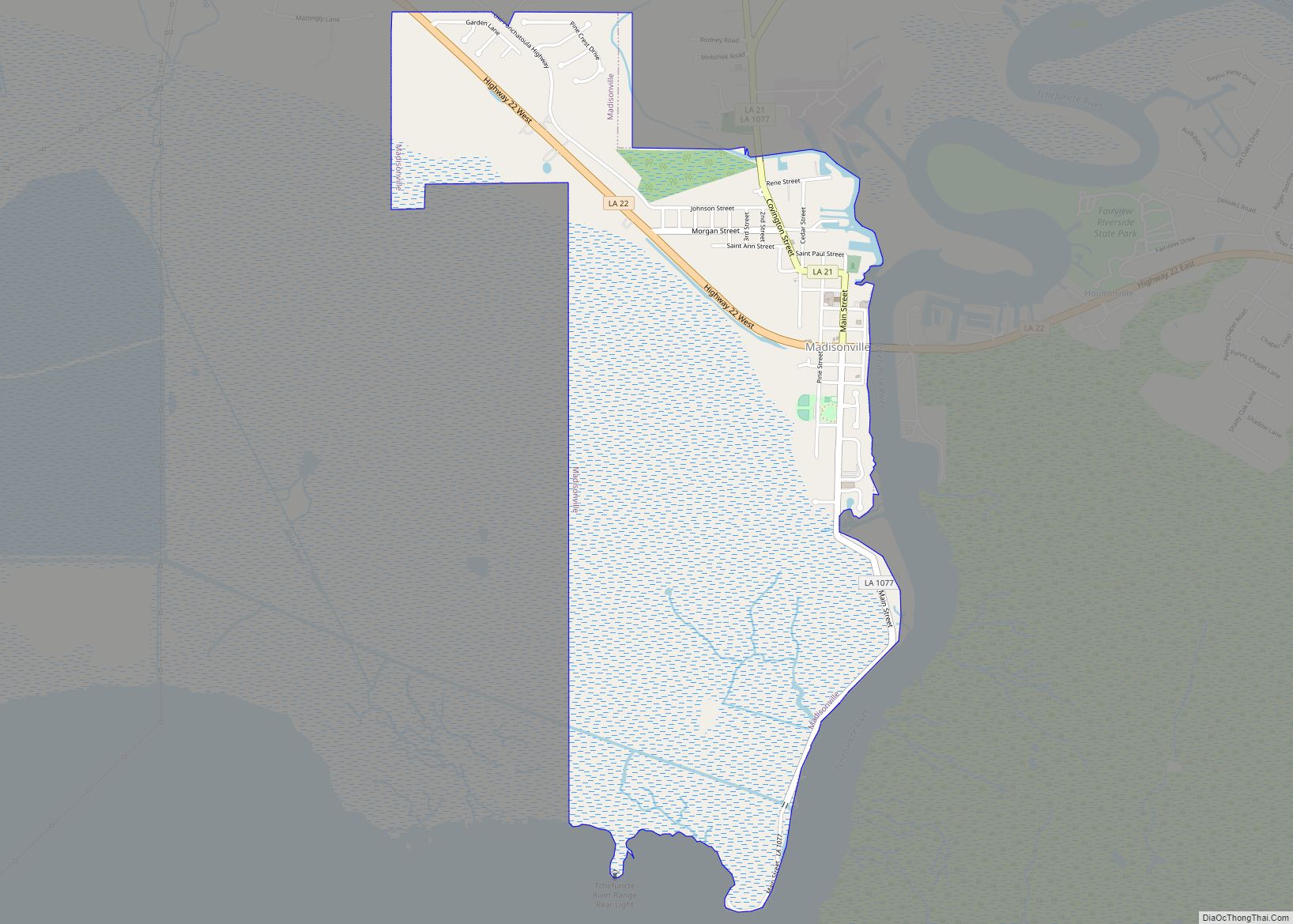
Mandeville is located at 30°22′9″N 90°4′41″W / 30.36917°N 90.07806°W / 30.36917; -90.07806 (30.369282, -90.078006), and has an elevation of 7 feet (2.1 m). According to the United States Census Bureau, the city has a total area of 6.8 square miles (17.7 km), of which 0.12 square miles (0.3 km), or 1.55%, is covered by water. The Tchefuncte River flows through Madisonville, where a human operated swing bridge still connects suburban Mandeville to Madisonville.
See also
Map of Louisiana State and its subdivision:- Acadia
- Allen
- Ascension
- Assumption
- Avoyelles
- Beauregard
- Bienville
- Bossier
- Caddo
- Calcasieu
- Caldwell
- Cameron
- Catahoula
- Claiborne
- Concordia
- De Soto
- East Baton Rouge
- East Carroll
- East Feliciana
- Evangeline
- Franklin
- Grant
- Iberia
- Iberville
- Jackson
- Jefferson
- Jefferson Davis
- La Salle
- Lafayette
- Lafourche
- Lincoln
- Livingston
- Madison
- Morehouse
- Natchitoches
- Orleans
- Ouachita
- Plaquemines
- Pointe Coupee
- Rapides
- Red River
- Richland
- Sabine
- Saint Bernard
- Saint Charles
- Saint Helena
- Saint James
- Saint John the Baptist
- Saint Landry
- Saint Martin
- Saint Mary
- Saint Tammany
- Tangipahoa
- Tensas
- Terrebonne
- Union
- Vermilion
- Vernon
- Washington
- Webster
- West Baton Rouge
- West Carroll
- West Feliciana
- Winn
- Alabama
- Alaska
- Arizona
- Arkansas
- California
- Colorado
- Connecticut
- Delaware
- District of Columbia
- Florida
- Georgia
- Hawaii
- Idaho
- Illinois
- Indiana
- Iowa
- Kansas
- Kentucky
- Louisiana
- Maine
- Maryland
- Massachusetts
- Michigan
- Minnesota
- Mississippi
- Missouri
- Montana
- Nebraska
- Nevada
- New Hampshire
- New Jersey
- New Mexico
- New York
- North Carolina
- North Dakota
- Ohio
- Oklahoma
- Oregon
- Pennsylvania
- Rhode Island
- South Carolina
- South Dakota
- Tennessee
- Texas
- Utah
- Vermont
- Virginia
- Washington
- West Virginia
- Wisconsin
- Wyoming