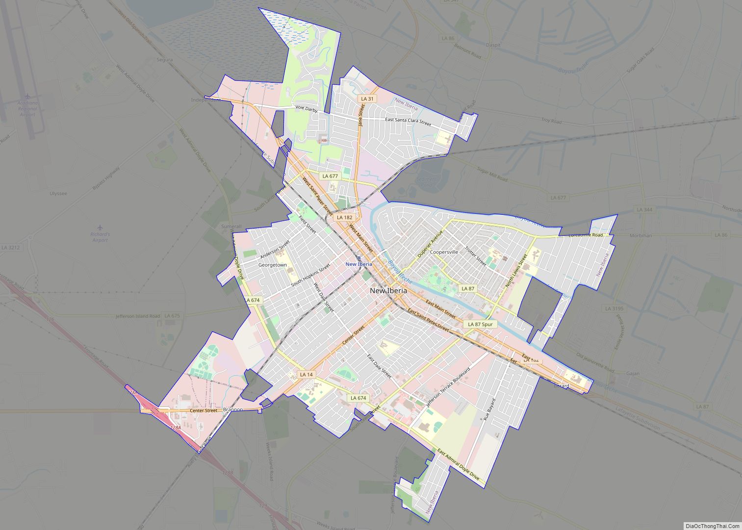
New Iberia (French: La Nouvelle-Ibérie; Spanish: Nueva Iberia) is the largest city in and parish seat of Iberia Parish in the U.S. state of Louisiana. The city of New Iberia is located approximately 21 miles (34 kilometers) southeast of Lafayette, and forms part of the Lafayette metropolitan statistical area in the region of Acadiana. The ... Read more
Louisiana Cities and Places
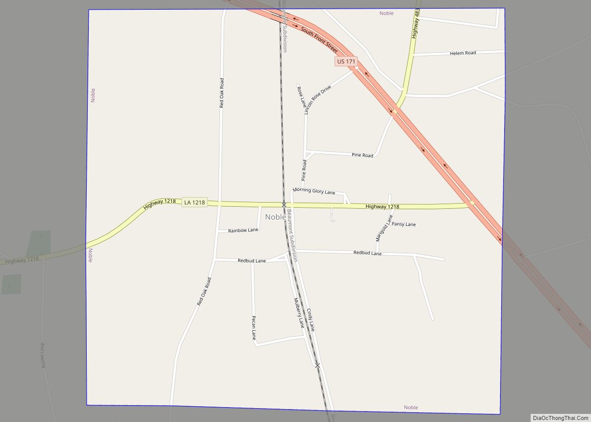
Noble is a village in Sabine Parish, Louisiana, United States. The population was 259 at the 2000 census. Noble village overview: Name: Noble village LSAD Code: 47 LSAD Description: village (suffix) State: Louisiana County: Sabine Parish Elevation: 269 ft (82 m) Total Area: 1.03 sq mi (2.68 km²) Land Area: 1.03 sq mi (2.68 km²) Water Area: 0.00 sq mi (0.00 km²) Total Population: 200 Population ... Read more
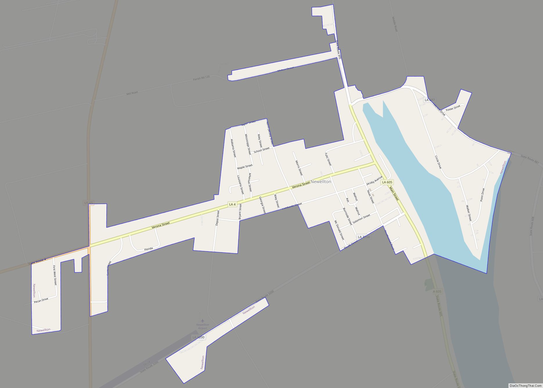
Newellton is a town in northern Tensas Parish in the northeastern part of the U.S. state of Louisiana. The population is 1,187 in the 2010 census, a decline of 255 persons, or 17 percent, from the 2000 tabulation of 1,482. The average age of the population there is 41 years. Newellton is west of the ... Read more
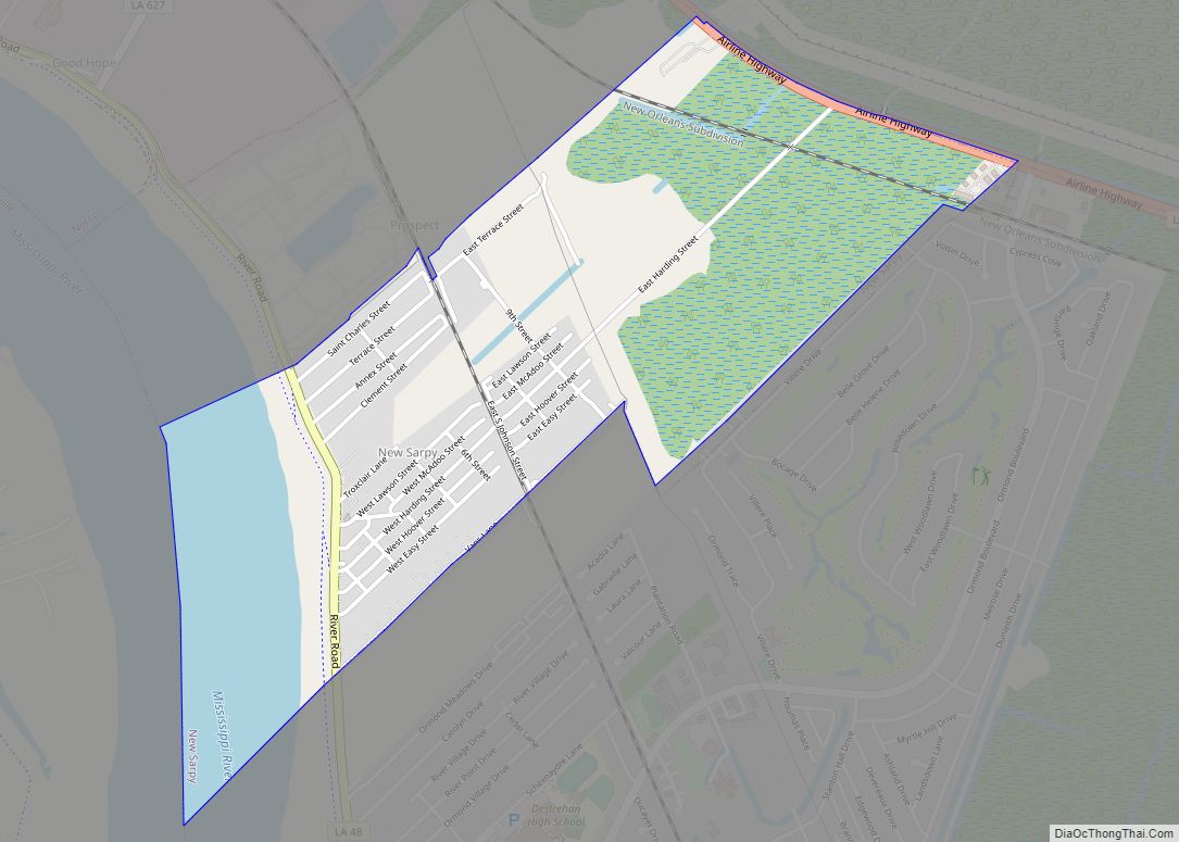
New Sarpy is a census-designated place (CDP) in St. Charles Parish, Louisiana, United States. The population was 1,169 at the 2020 census. New Sarpy CDP overview: Name: New Sarpy CDP LSAD Code: 57 LSAD Description: CDP (suffix) State: Louisiana County: St. Charles Parish Elevation: 3 ft (0.9 m) Total Area: 1.38 sq mi (3.57 km²) Land Area: 1.14 sq mi (2.94 km²) Water ... Read more
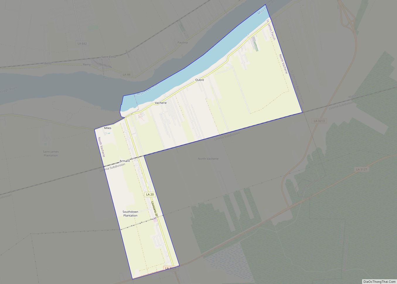
North Vacherie is a census-designated place (CDP) in St. James Parish, Louisiana, United States. The population was 2,411 at the 2000 census. Vacherie was noted in the 2000 census as being the town with the least mobility of all in the United States. North Vacherie CDP overview: Name: North Vacherie CDP LSAD Code: 57 LSAD ... Read more
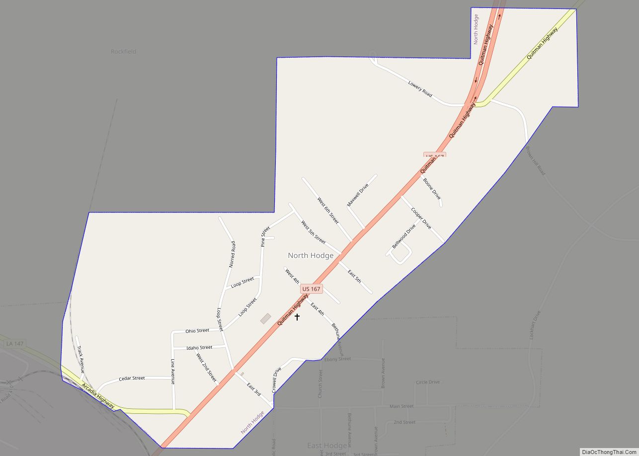
North Hodge is a village in Jackson Parish, Louisiana, United States. The population was 388 at the 2010 census, down from 436 at the 2000 census. It is part of the Ruston Micropolitan Statistical Area. North Hodge village overview: Name: North Hodge village LSAD Code: 47 LSAD Description: village (suffix) State: Louisiana County: Jackson Parish ... Read more
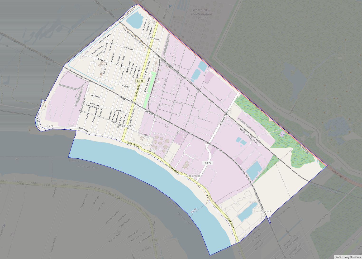
Norco is a census-designated place (CDP) in St. Charles Parish, Louisiana, United States. The population was 2,984 at the 2020 census. The community is home to a major Shell/Valero manufacturing complex. The CDP’s name is derived from the New Orleans Refining Company. Norco CDP overview: Name: Norco CDP LSAD Code: 57 LSAD Description: CDP (suffix) ... Read more
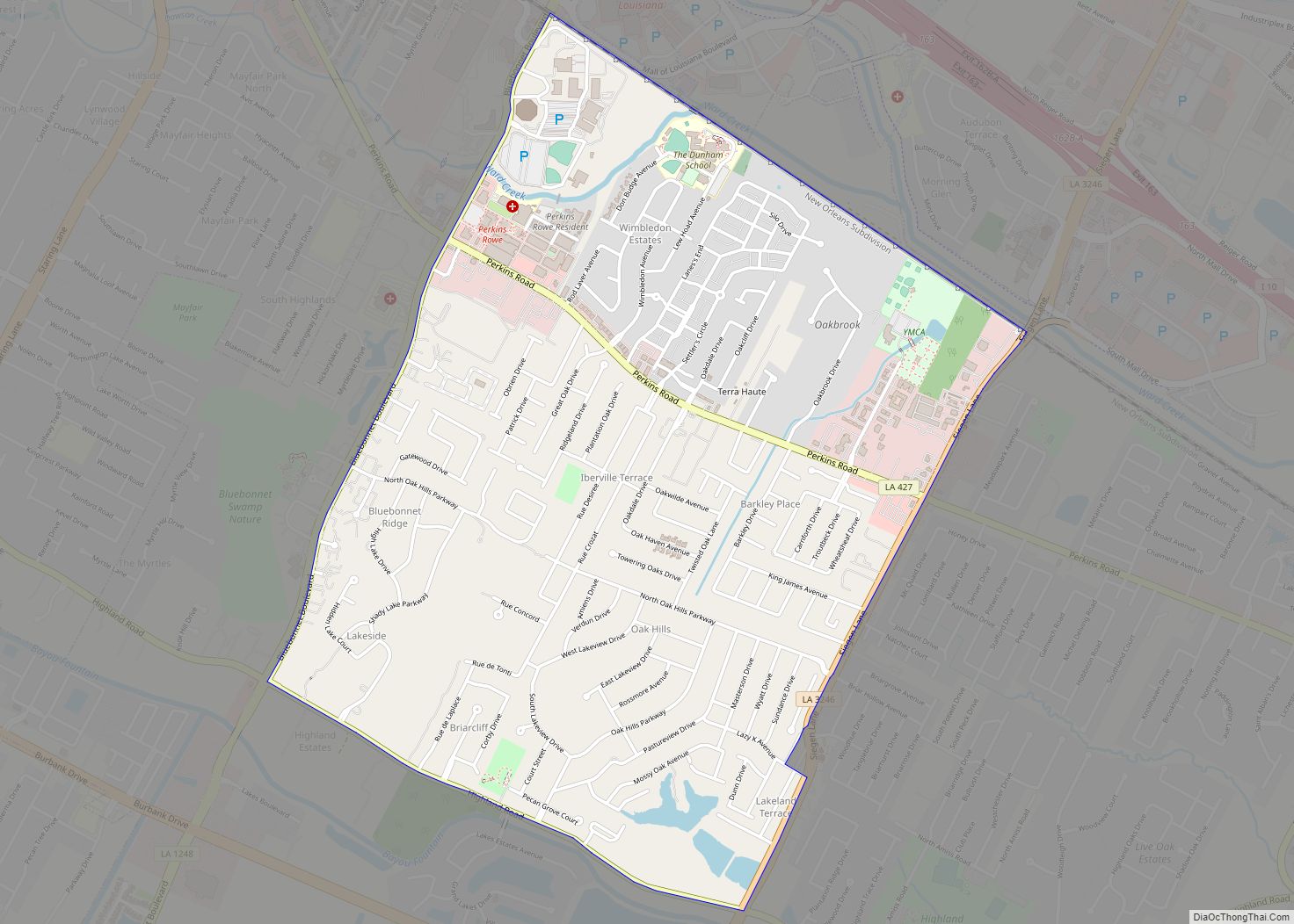
Oak Hills Place is a census-designated place (CDP) in East Baton Rouge Parish, Louisiana, United States. The population was 8,195 at the 2010 census. It is part of the Baton Rouge Metropolitan Statistical Area, and one of the most affluent suburbs of Baton Rouge. It is in the proposed City of St. George. Oak Hills ... Read more
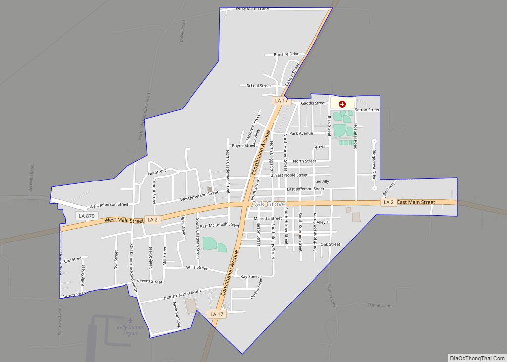
Oak Grove is the parish seat of West Carroll Parish in northeastern Louisiana, United States. The population was 1,441 at the 2020 United States census. Oak Grove town overview: Name: Oak Grove town LSAD Code: 43 LSAD Description: town (suffix) State: Louisiana County: West Carroll Parish Elevation: 121 ft (37 m) Total Area: 1.74 sq mi (4.51 km²) Land Area: ... Read more
Norwood is a village in East Feliciana Parish, Louisiana, United States. The population was 322 at the 2010 census. It is part of the Baton Rouge Metropolitan Statistical Area. Norwood village overview: Name: Norwood village LSAD Code: 47 LSAD Description: village (suffix) State: Louisiana County: East Feliciana Parish Elevation: 312 ft (95 m) Total Area: 4.10 sq mi (10.62 km²) ... Read more
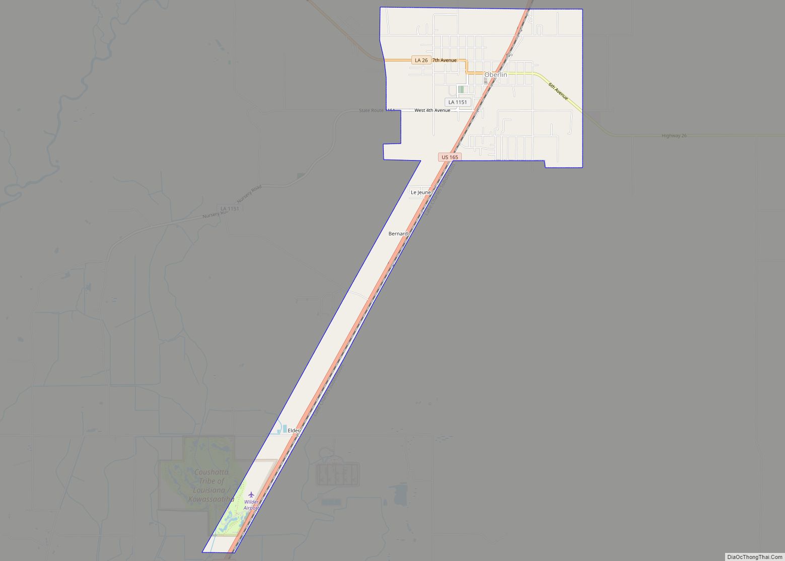
Oberlin is a town in and the parish seat of Allen Parish, Louisiana, United States. The population was 1,770 at the 2010 census. The town is named after Johann Friedrich Oberlin. Oberlin was the home of Ernest S. Clements, a Democratic member of the Louisiana State Senate and, later, the Louisiana Public Service Commission. He ... Read more
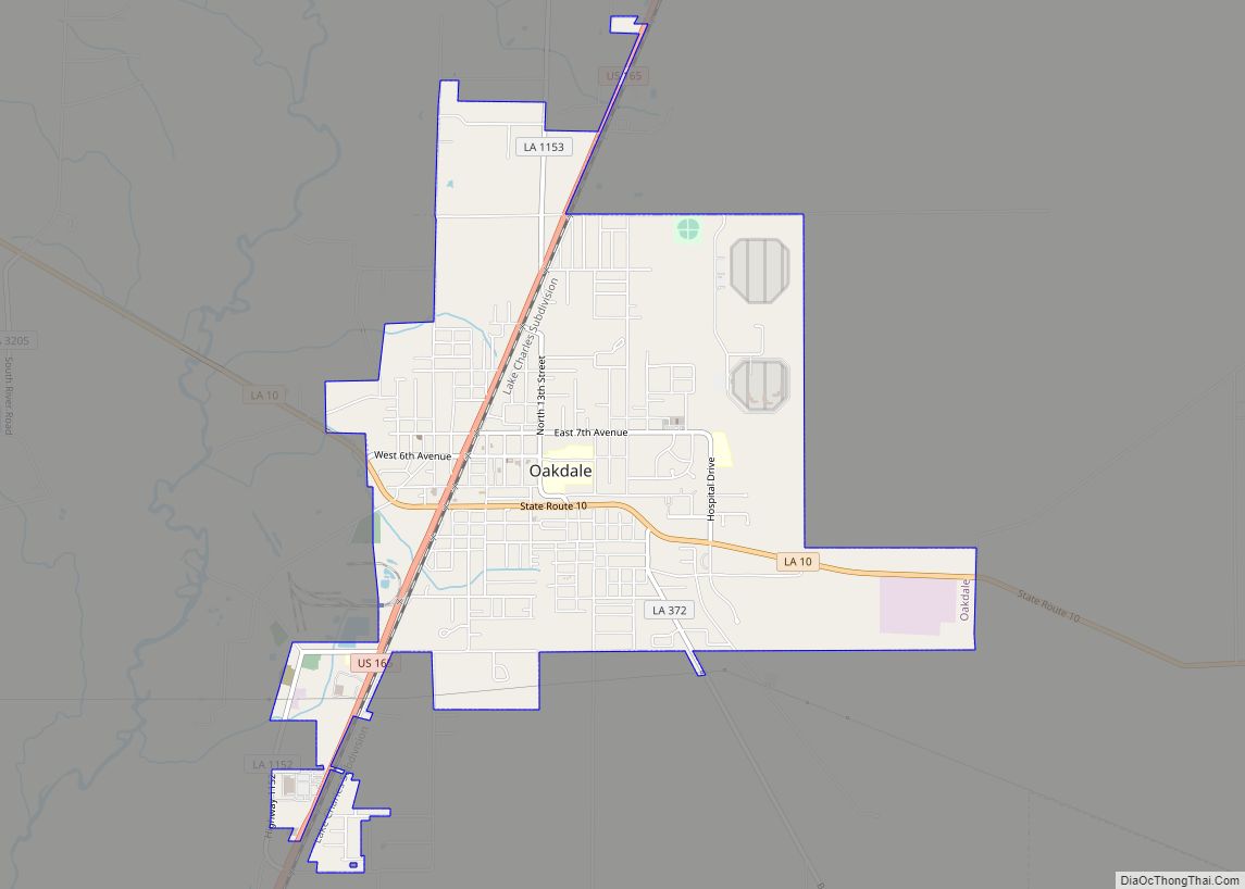
Oakdale is a city in Allen Parish in south Louisiana, United States. The population was 7,780 at the 2010 census. Oakdale was founded as “Dunnsville” by William T. Dunn. The history of Allen Parish is preserved at the Leatherwood Museum, which reopened on September 27, 2008, in a renovated facility at 202 E. 7th Ave. ... Read more
