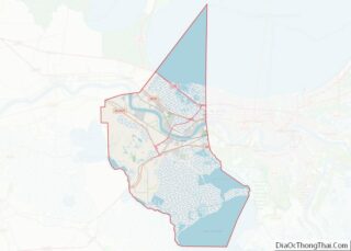
New Sarpy is a census-designated place (CDP) in St. Charles Parish, Louisiana, United States. The population was 1,169 at the 2020 census.
| Name: | New Sarpy CDP |
|---|---|
| LSAD Code: | 57 |
| LSAD Description: | CDP (suffix) |
| State: | Louisiana |
| County: | St. Charles Parish |
| Elevation: | 3 ft (0.9 m) |
| Total Area: | 1.38 sq mi (3.57 km²) |
| Land Area: | 1.14 sq mi (2.94 km²) |
| Water Area: | 0.24 sq mi (0.63 km²) |
| Total Population: | 1,169 |
| Population Density: | 1,029.96/sq mi (397.58/km²) |
| Area code: | 985 |
| FIPS code: | 2255140 |
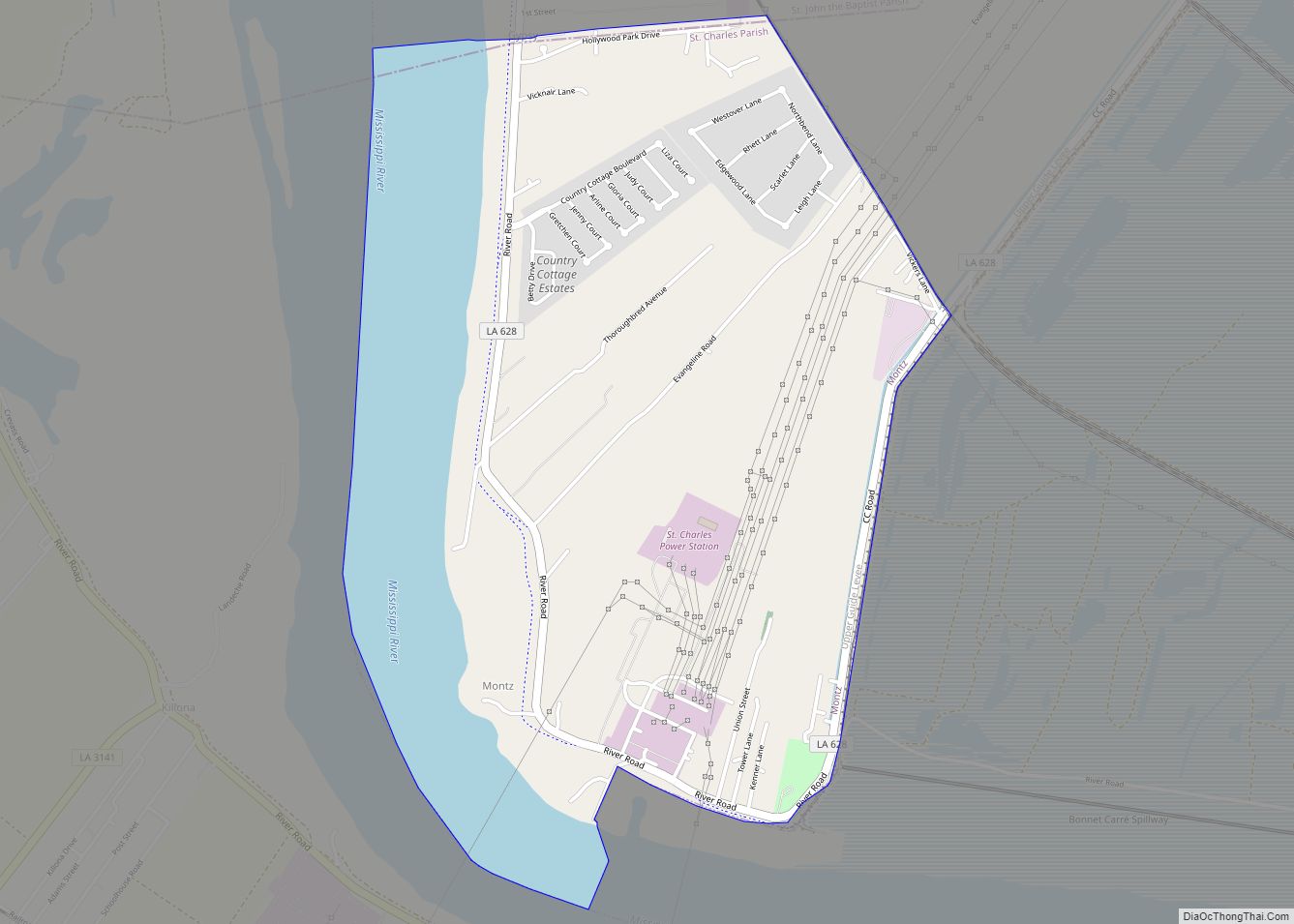
Online Interactive Map
Click on ![]() to view map in "full screen" mode.
to view map in "full screen" mode.
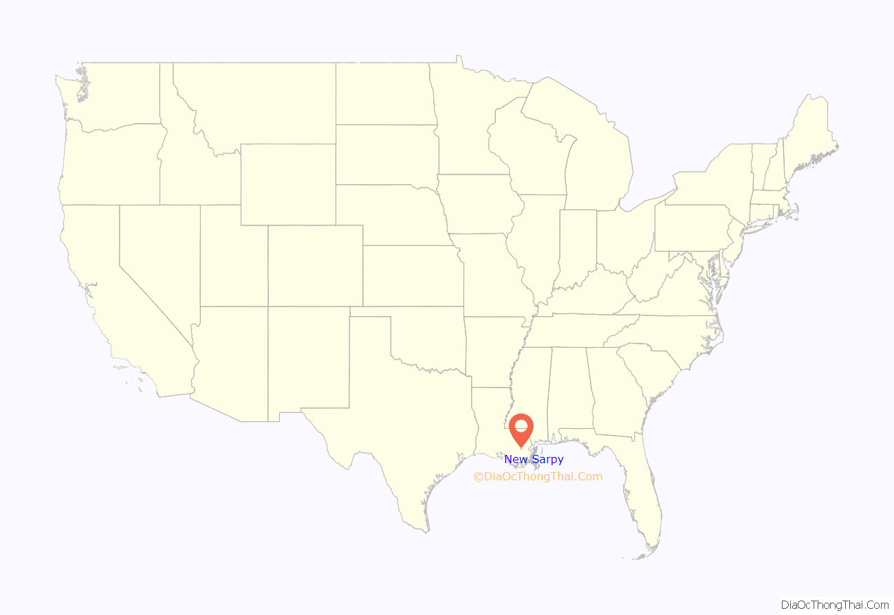
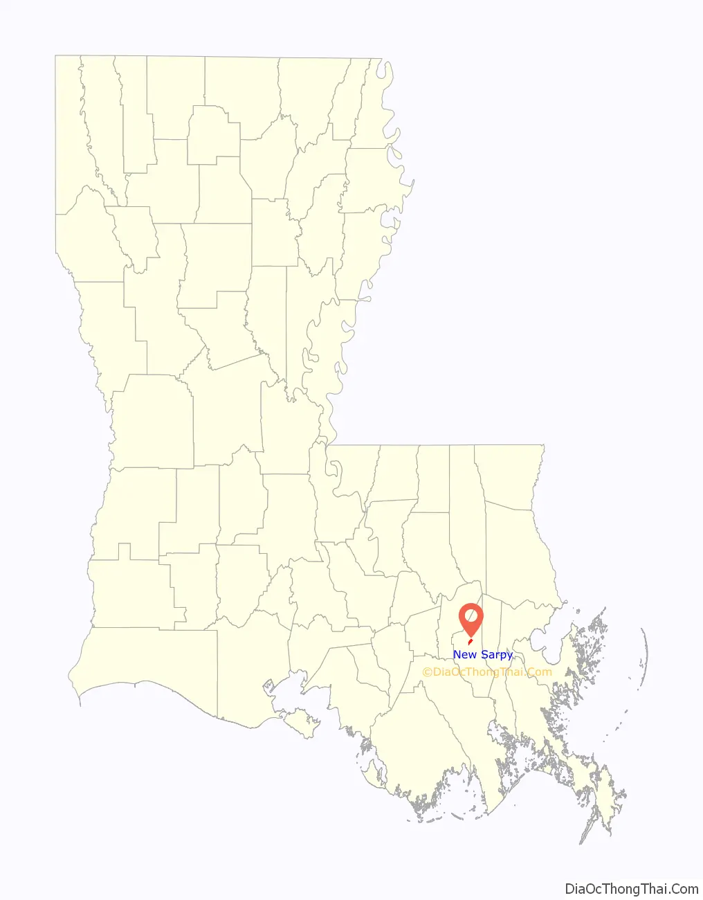
New Sarpy location map. Where is New Sarpy CDP?
History
In 1699, Pierre Le Moyne d’Iberville and Jean-Baptiste Le Moyne de Bienville discovered an indigenous Bayagoula settlement located near the Mississippi River intersection with a tributary in present-day New Sarpy. The site was named L’Anse aux Outardes or Bustard’s Cove.
In 1722 and 1723, French, German, and newly arrived settlers from French Canada were granted lands on the east bank of the Mississippi River and moved from west bank German Coast villages to establish the first east bank settlement at L’Anse aux Outardes or Bustard’s Cove. The granting of lands on the east bank, led to the founding of the Second German Coast in 1730 and the establishment of officially having settlements on both banks of the Mississippi River.
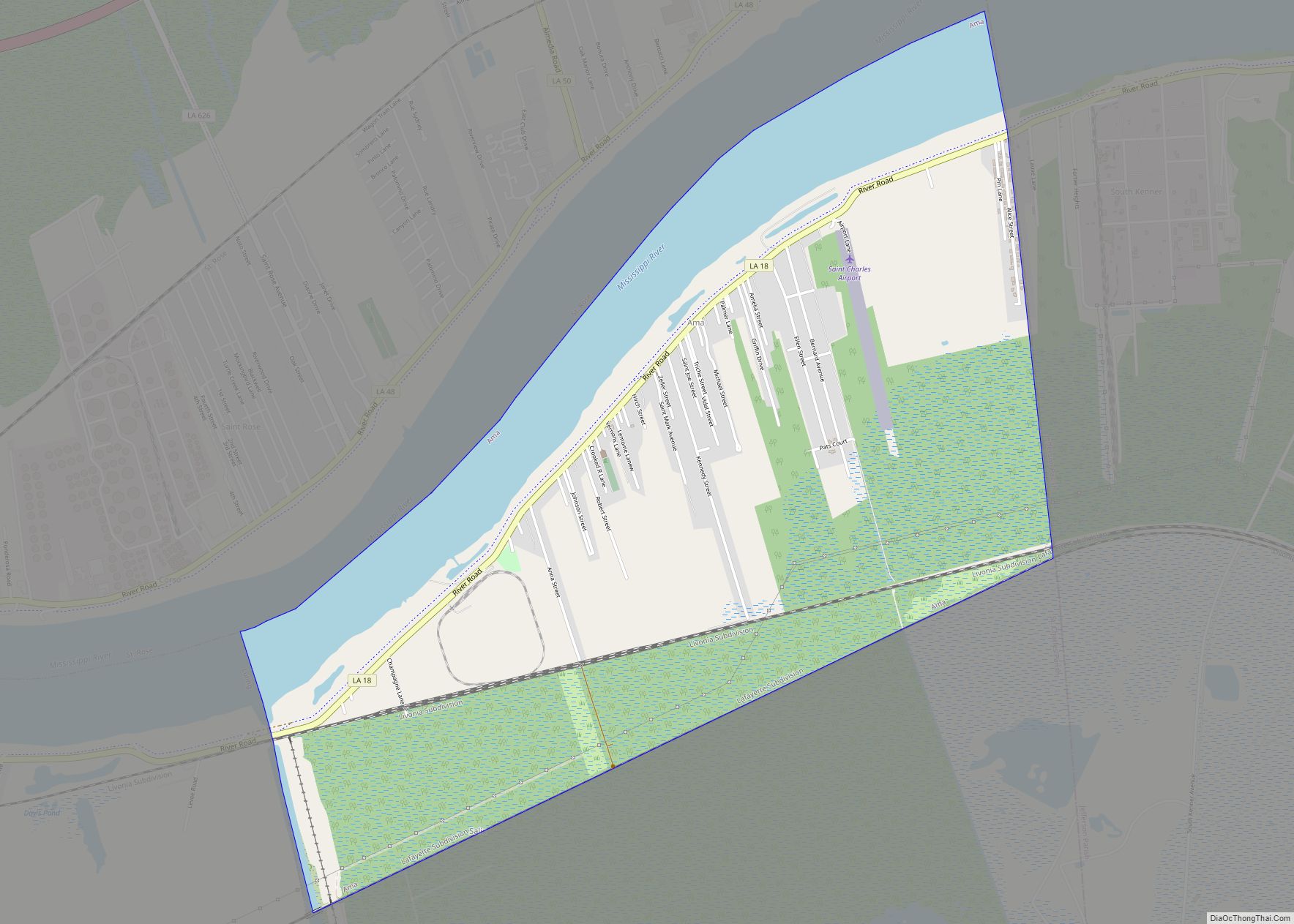
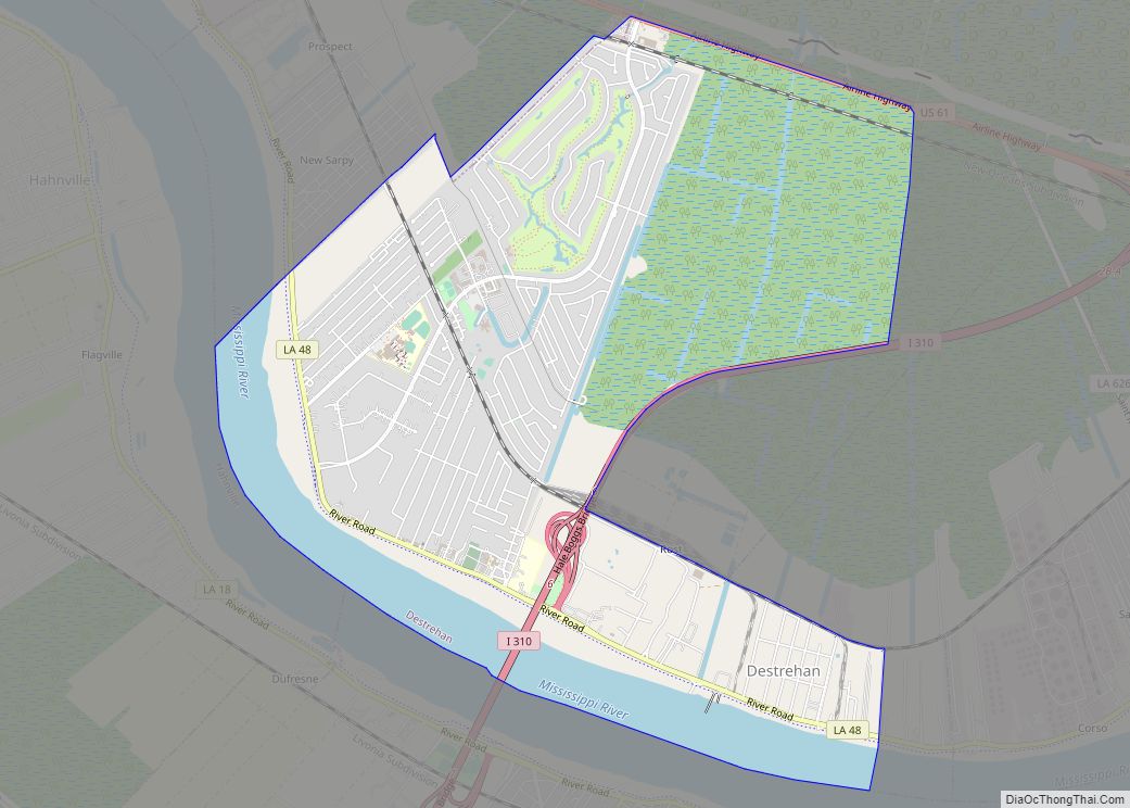
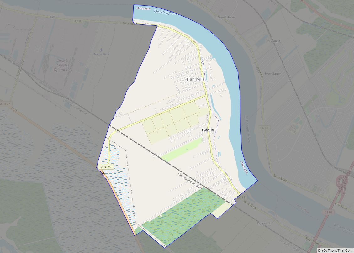
New Sarpy Road Map
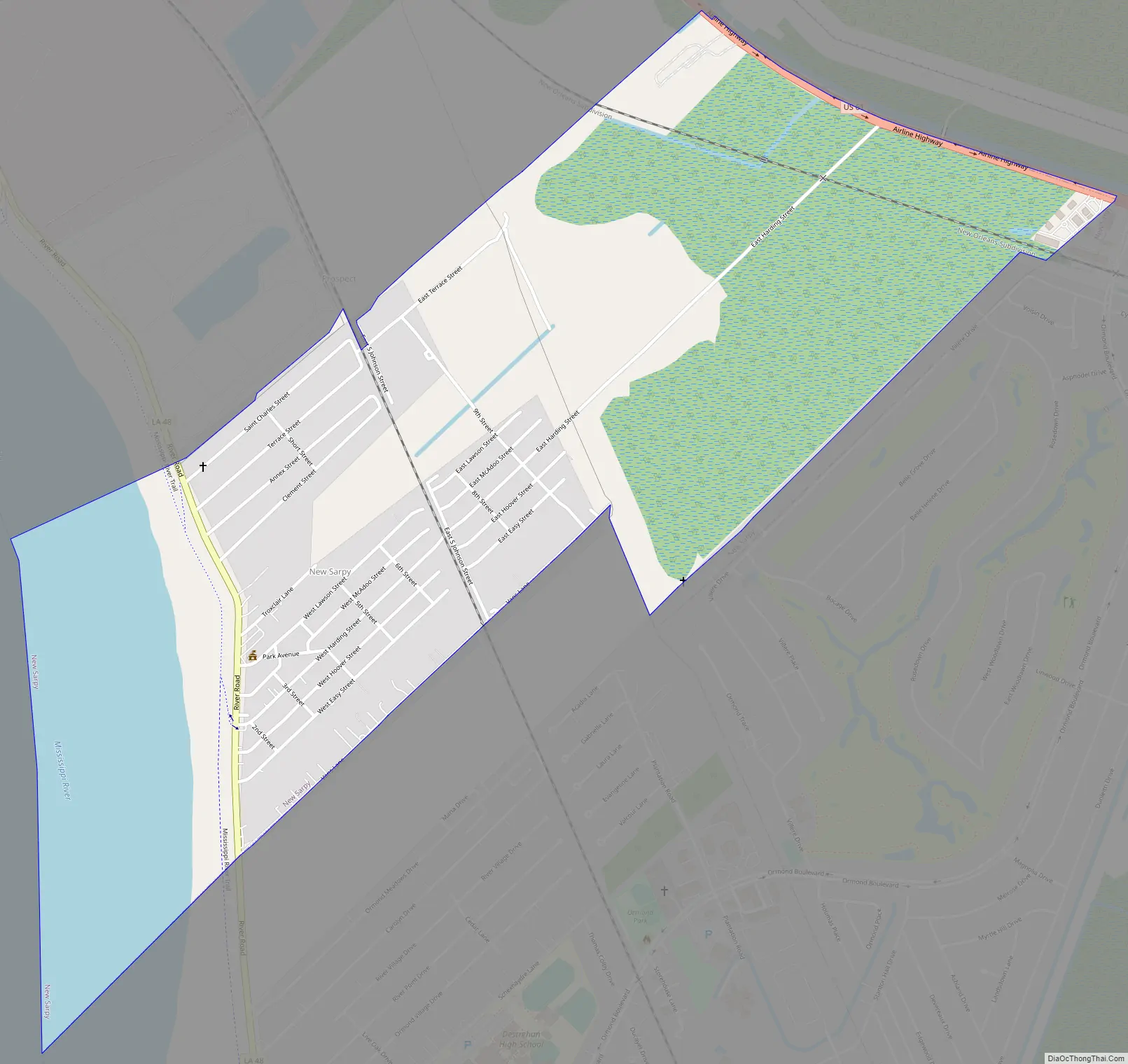
New Sarpy city Satellite Map

Geography
New Sarpy is located at 29°58′44″N 90°23′8″W / 29.97889°N 90.38556°W / 29.97889; -90.38556 (29.978937, -90.385492).
According to the United States Census Bureau, the CDP has a total area of 2.0 square miles (5.3 km), of which 1.7 square miles (4.4 km) is land and 0.3 square mile (0.9 km) (17.16%) is water.
See also
Map of Louisiana State and its subdivision:- Acadia
- Allen
- Ascension
- Assumption
- Avoyelles
- Beauregard
- Bienville
- Bossier
- Caddo
- Calcasieu
- Caldwell
- Cameron
- Catahoula
- Claiborne
- Concordia
- De Soto
- East Baton Rouge
- East Carroll
- East Feliciana
- Evangeline
- Franklin
- Grant
- Iberia
- Iberville
- Jackson
- Jefferson
- Jefferson Davis
- La Salle
- Lafayette
- Lafourche
- Lincoln
- Livingston
- Madison
- Morehouse
- Natchitoches
- Orleans
- Ouachita
- Plaquemines
- Pointe Coupee
- Rapides
- Red River
- Richland
- Sabine
- Saint Bernard
- Saint Charles
- Saint Helena
- Saint James
- Saint John the Baptist
- Saint Landry
- Saint Martin
- Saint Mary
- Saint Tammany
- Tangipahoa
- Tensas
- Terrebonne
- Union
- Vermilion
- Vernon
- Washington
- Webster
- West Baton Rouge
- West Carroll
- West Feliciana
- Winn
- Alabama
- Alaska
- Arizona
- Arkansas
- California
- Colorado
- Connecticut
- Delaware
- District of Columbia
- Florida
- Georgia
- Hawaii
- Idaho
- Illinois
- Indiana
- Iowa
- Kansas
- Kentucky
- Louisiana
- Maine
- Maryland
- Massachusetts
- Michigan
- Minnesota
- Mississippi
- Missouri
- Montana
- Nebraska
- Nevada
- New Hampshire
- New Jersey
- New Mexico
- New York
- North Carolina
- North Dakota
- Ohio
- Oklahoma
- Oregon
- Pennsylvania
- Rhode Island
- South Carolina
- South Dakota
- Tennessee
- Texas
- Utah
- Vermont
- Virginia
- Washington
- West Virginia
- Wisconsin
- Wyoming