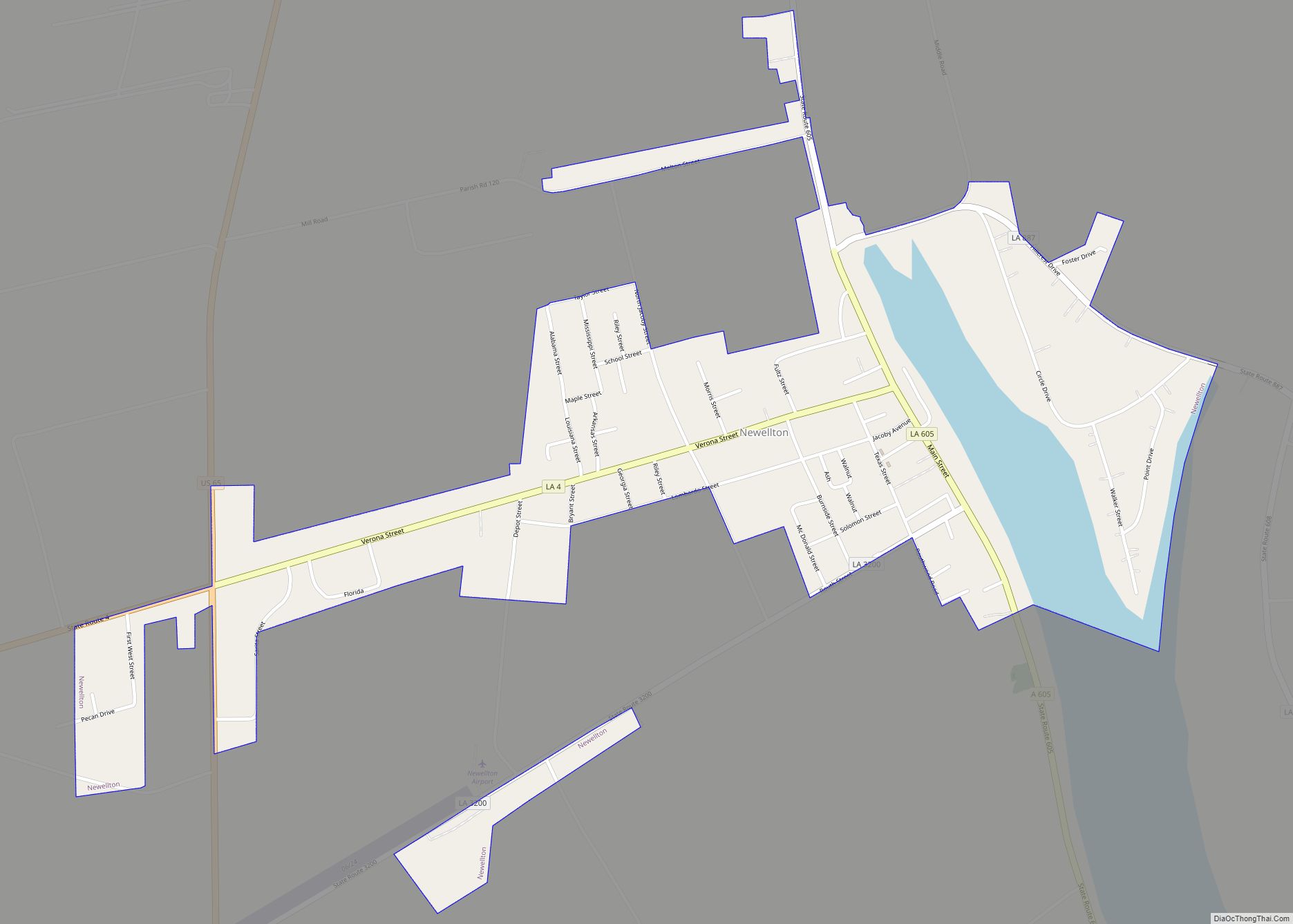
Newellton is a town in northern Tensas Parish in the northeastern part of the U.S. state of Louisiana. The population is 1,187 in the 2010 census, a decline of 255 persons, or 17 percent, from the 2000 tabulation of 1,482. The average age of the population there is 41 years.
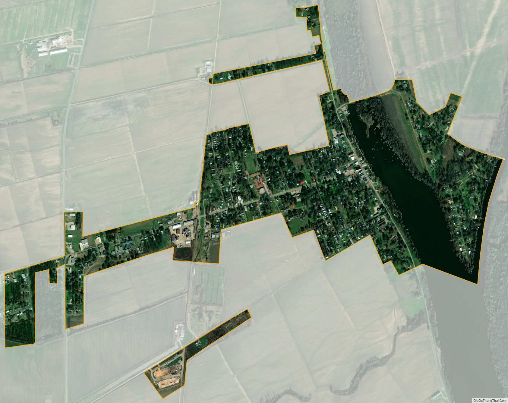
Newellton is west of the Mississippi River on Lake St. Joseph, an ox-bow lake. Further south toward St. Joseph, the parish seat of government, is another ox-bow lake, Lake Bruin, a part of which is the popular Lake Bruin State Park.
| Name: | Newellton town |
|---|---|
| LSAD Code: | 43 |
| LSAD Description: | town (suffix) |
| State: | Louisiana |
| County: | Tensas Parish |
| Elevation: | 79 ft (24 m) |
| Total Area: | 0.87 sq mi (2.26 km²) |
| Land Area: | 0.76 sq mi (1.97 km²) |
| Water Area: | 0.11 sq mi (0.29 km²) |
| Total Population: | 886 |
| Population Density: | 1,167.33/sq mi (450.58/km²) |
| Area code: | 318 |
| FIPS code: | 2253930 |
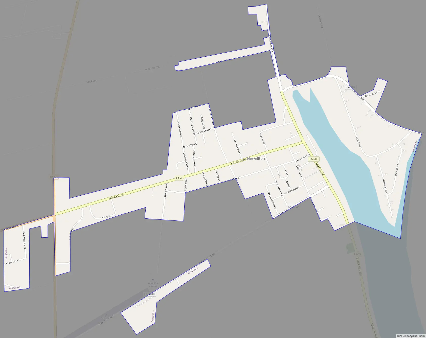
Online Interactive Map
Click on ![]() to view map in "full screen" mode.
to view map in "full screen" mode.
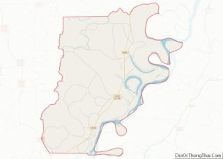
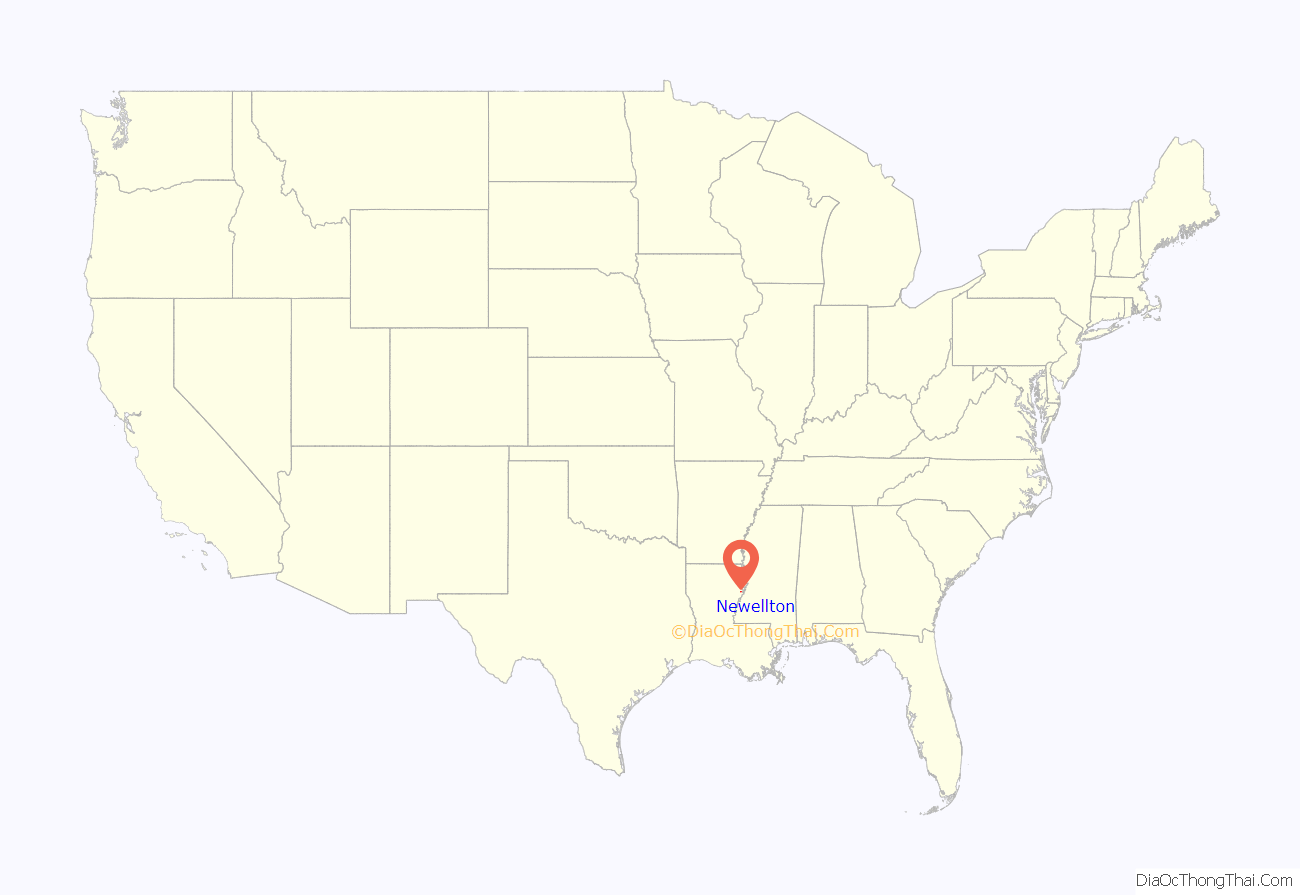
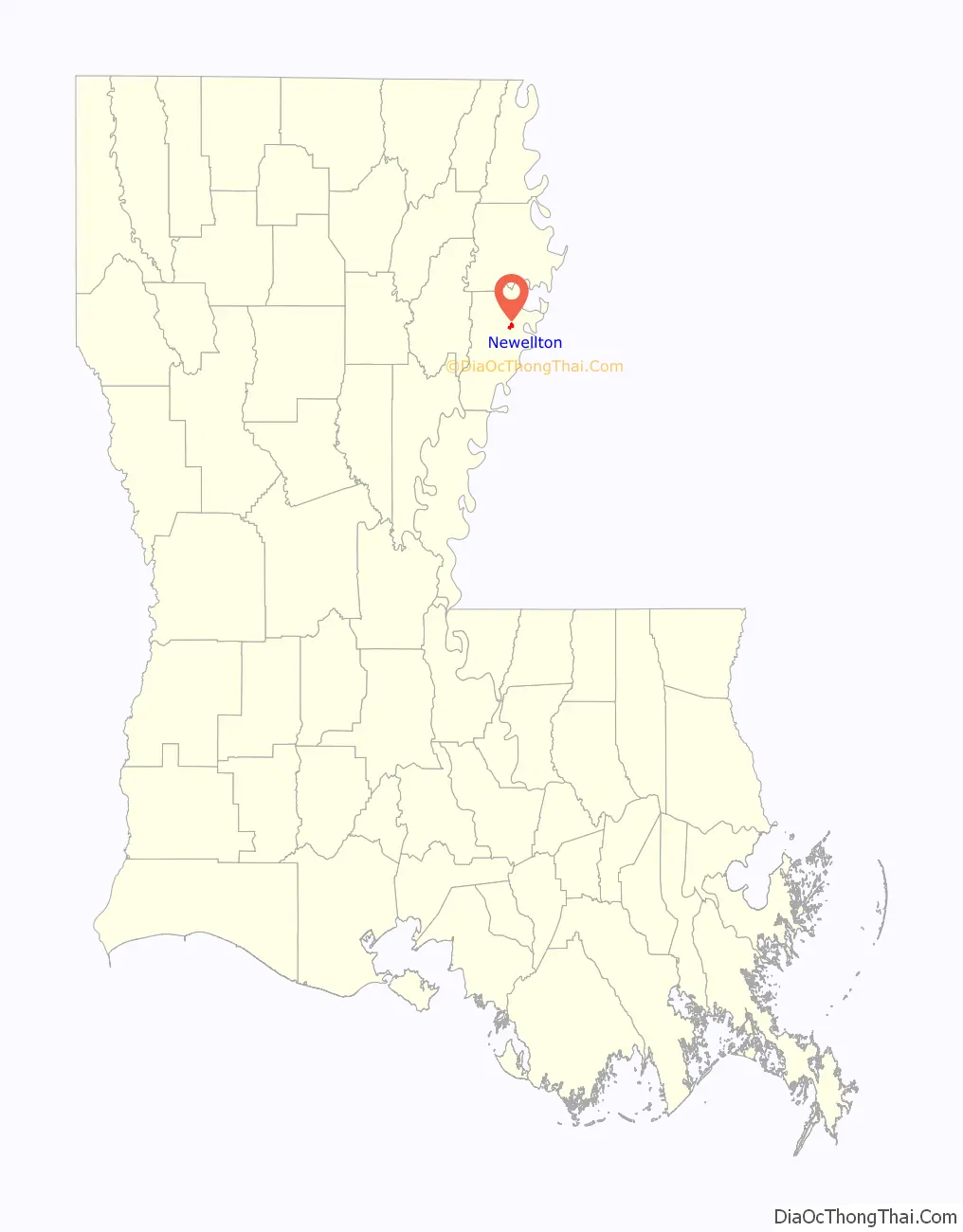
Newellton location map. Where is Newellton town?
History
Newellton itself was founded in the early 19th century by the Routh family, for whom the defunct Routhwood Elementary School was named. John David Stokes Newell Sr., a planter and lawyer in St. Joseph, the seat of Tensas Parish, named the settlement for his father, Edward, a native of North Carolina who relocated to Tensas Parish in 1834.
Newellton was designated a village in 1904. On April 4, 1951, under Mayor T. T. Hargrove, Newellton was upgraded to a town through the state Lawrason Act.
In March 2014, Newellton became debt-free.
Newellton Road Map
Newellton city Satellite Map
Geography
Newellton is located at 32°4′22″N 91°14′21″W / 32.07278°N 91.23917°W / 32.07278; -91.23917 (32.072740, -91.239230).
According to the United States Census Bureau, the town has a total area of 0.9 square miles (2.3 km), of which 0.8 square miles (2.1 km) is land and 0.1 square miles (0.26 km) (12.64%) is water.
See also
Map of Louisiana State and its subdivision:- Acadia
- Allen
- Ascension
- Assumption
- Avoyelles
- Beauregard
- Bienville
- Bossier
- Caddo
- Calcasieu
- Caldwell
- Cameron
- Catahoula
- Claiborne
- Concordia
- De Soto
- East Baton Rouge
- East Carroll
- East Feliciana
- Evangeline
- Franklin
- Grant
- Iberia
- Iberville
- Jackson
- Jefferson
- Jefferson Davis
- La Salle
- Lafayette
- Lafourche
- Lincoln
- Livingston
- Madison
- Morehouse
- Natchitoches
- Orleans
- Ouachita
- Plaquemines
- Pointe Coupee
- Rapides
- Red River
- Richland
- Sabine
- Saint Bernard
- Saint Charles
- Saint Helena
- Saint James
- Saint John the Baptist
- Saint Landry
- Saint Martin
- Saint Mary
- Saint Tammany
- Tangipahoa
- Tensas
- Terrebonne
- Union
- Vermilion
- Vernon
- Washington
- Webster
- West Baton Rouge
- West Carroll
- West Feliciana
- Winn
- Alabama
- Alaska
- Arizona
- Arkansas
- California
- Colorado
- Connecticut
- Delaware
- District of Columbia
- Florida
- Georgia
- Hawaii
- Idaho
- Illinois
- Indiana
- Iowa
- Kansas
- Kentucky
- Louisiana
- Maine
- Maryland
- Massachusetts
- Michigan
- Minnesota
- Mississippi
- Missouri
- Montana
- Nebraska
- Nevada
- New Hampshire
- New Jersey
- New Mexico
- New York
- North Carolina
- North Dakota
- Ohio
- Oklahoma
- Oregon
- Pennsylvania
- Rhode Island
- South Carolina
- South Dakota
- Tennessee
- Texas
- Utah
- Vermont
- Virginia
- Washington
- West Virginia
- Wisconsin
- Wyoming