North Vacherie is a census-designated place (CDP) in St. James Parish, Louisiana, United States. The population was 2,411 at the 2000 census. Vacherie was noted in the 2000 census as being the town with the least mobility of all in the United States.
| Name: | North Vacherie CDP |
|---|---|
| LSAD Code: | 57 |
| LSAD Description: | CDP (suffix) |
| State: | Louisiana |
| County: | St. James Parish |
| Elevation: | 7 ft (2 m) |
| Total Area: | 6.29 sq mi (16.30 km²) |
| Land Area: | 5.62 sq mi (14.55 km²) |
| Water Area: | 0.67 sq mi (1.75 km²) |
| Total Population: | 2,093 |
| Population Density: | 372.49/sq mi (143.82/km²) |
| Area code: | 225 |
| FIPS code: | 2256170 |
Online Interactive Map
Click on ![]() to view map in "full screen" mode.
to view map in "full screen" mode.
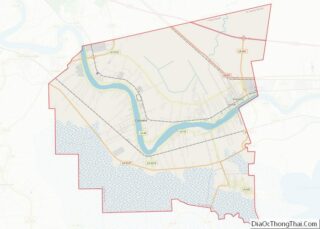
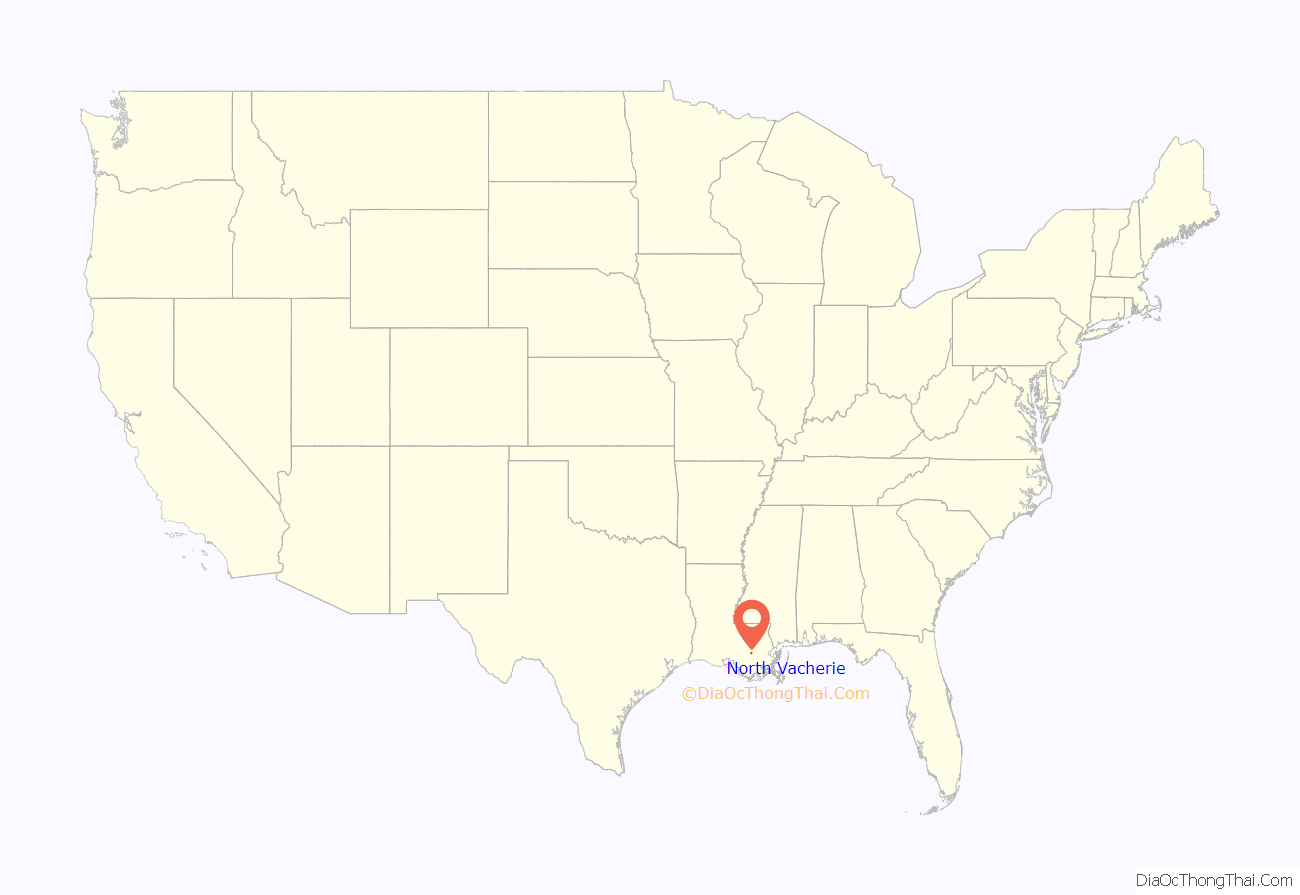
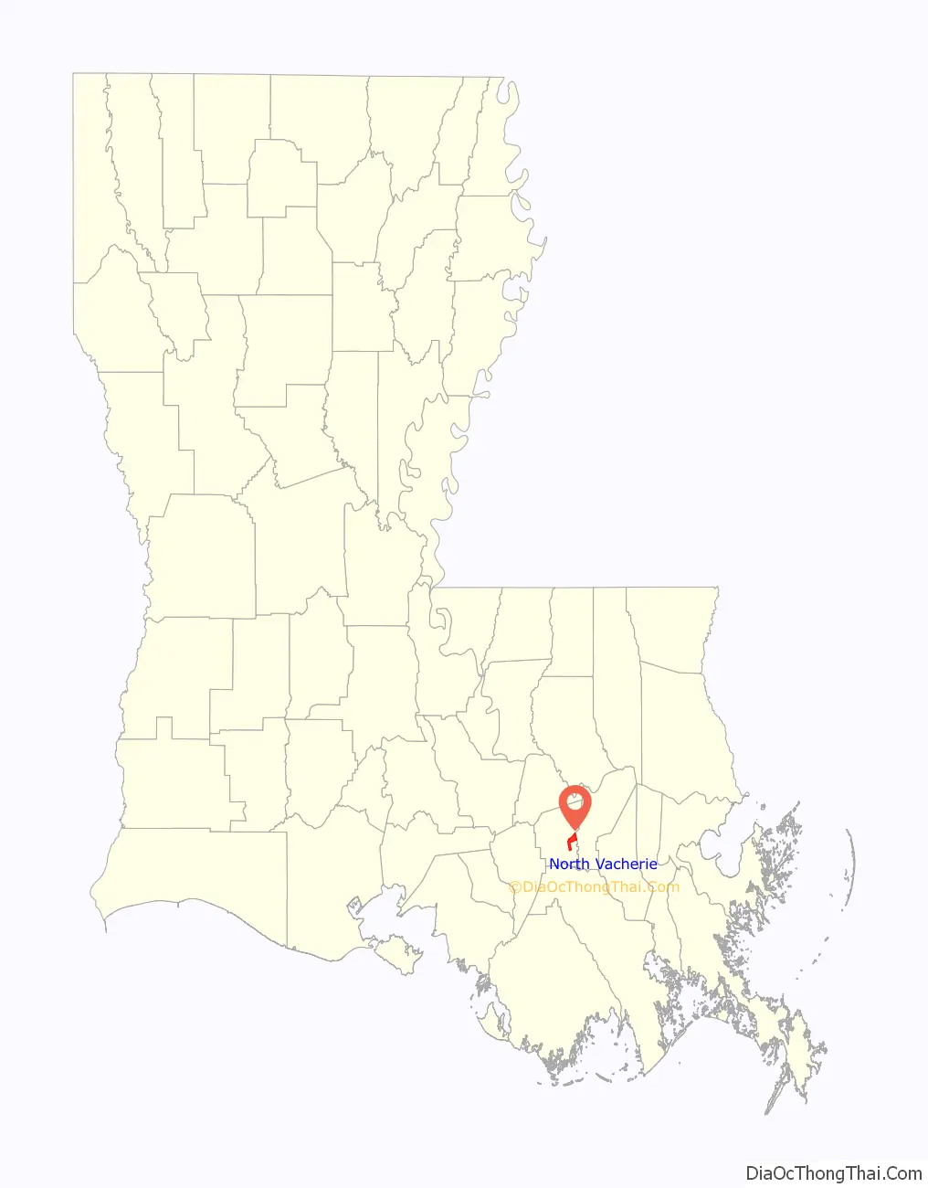
North Vacherie location map. Where is North Vacherie CDP?
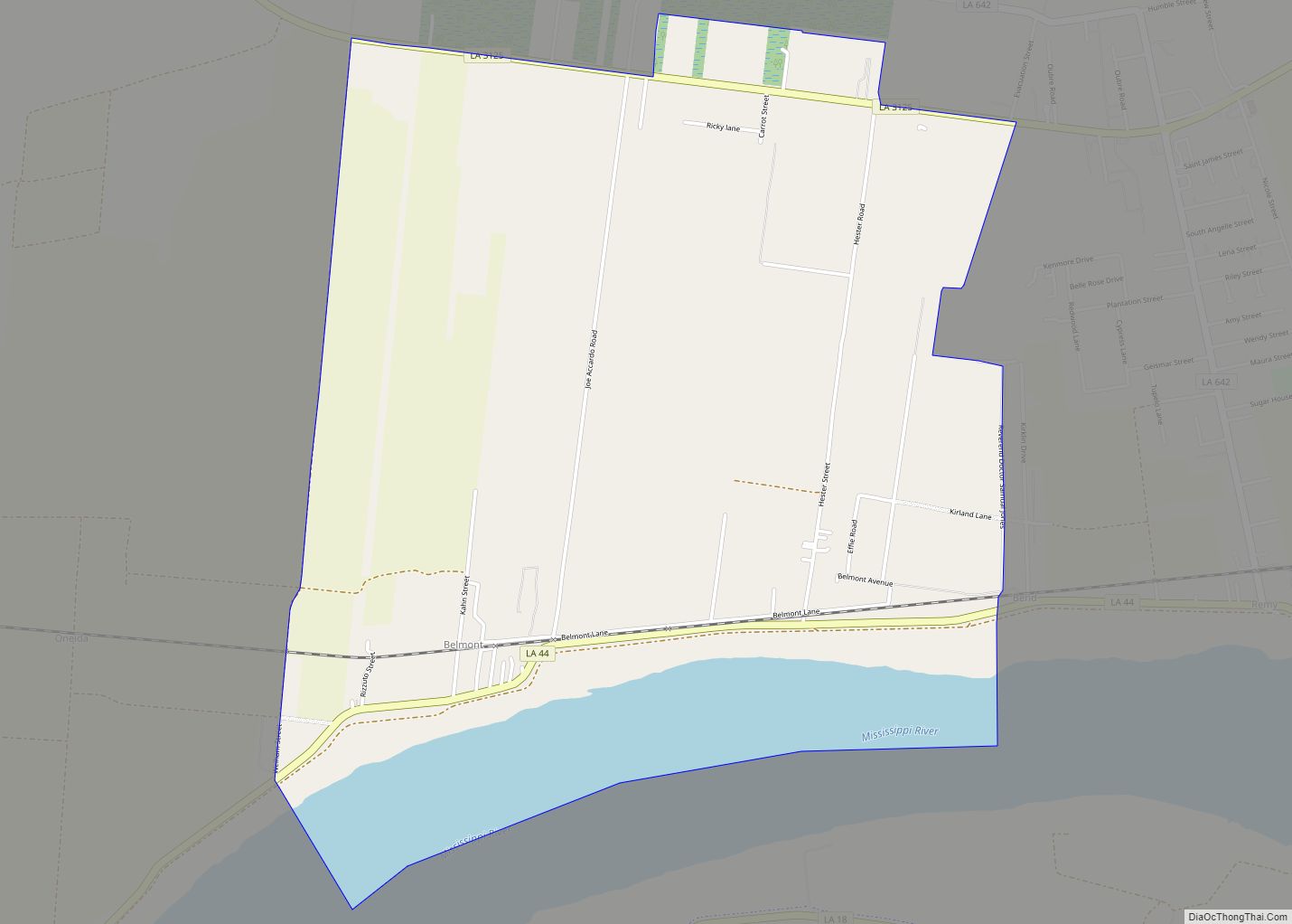
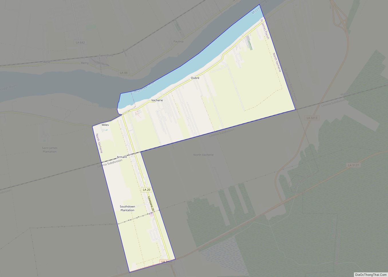
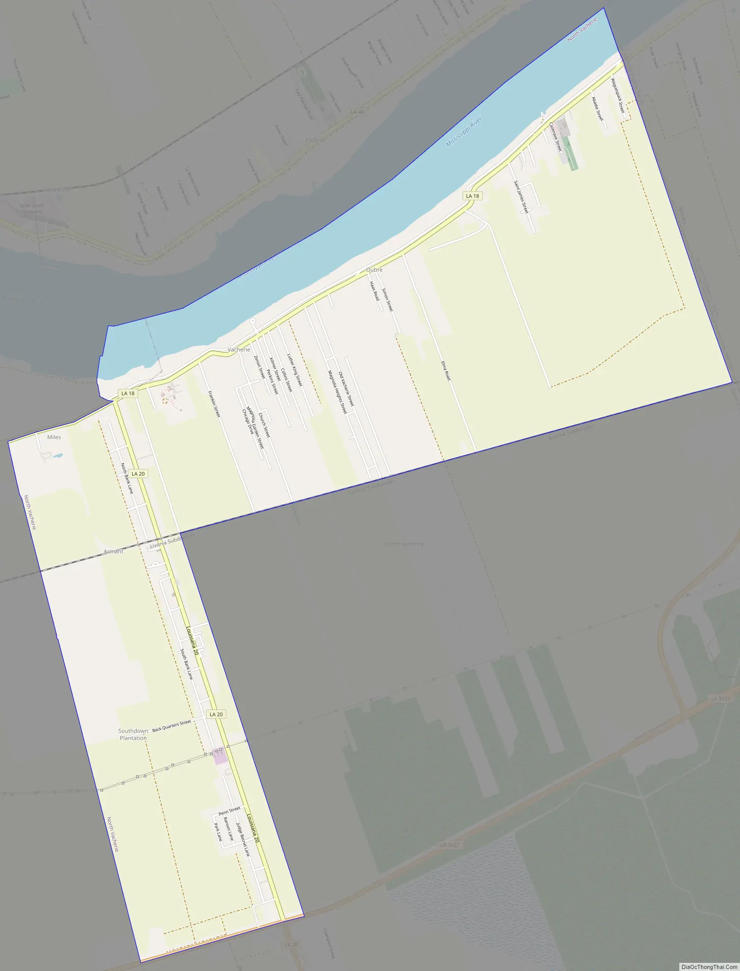
North Vacherie Road Map
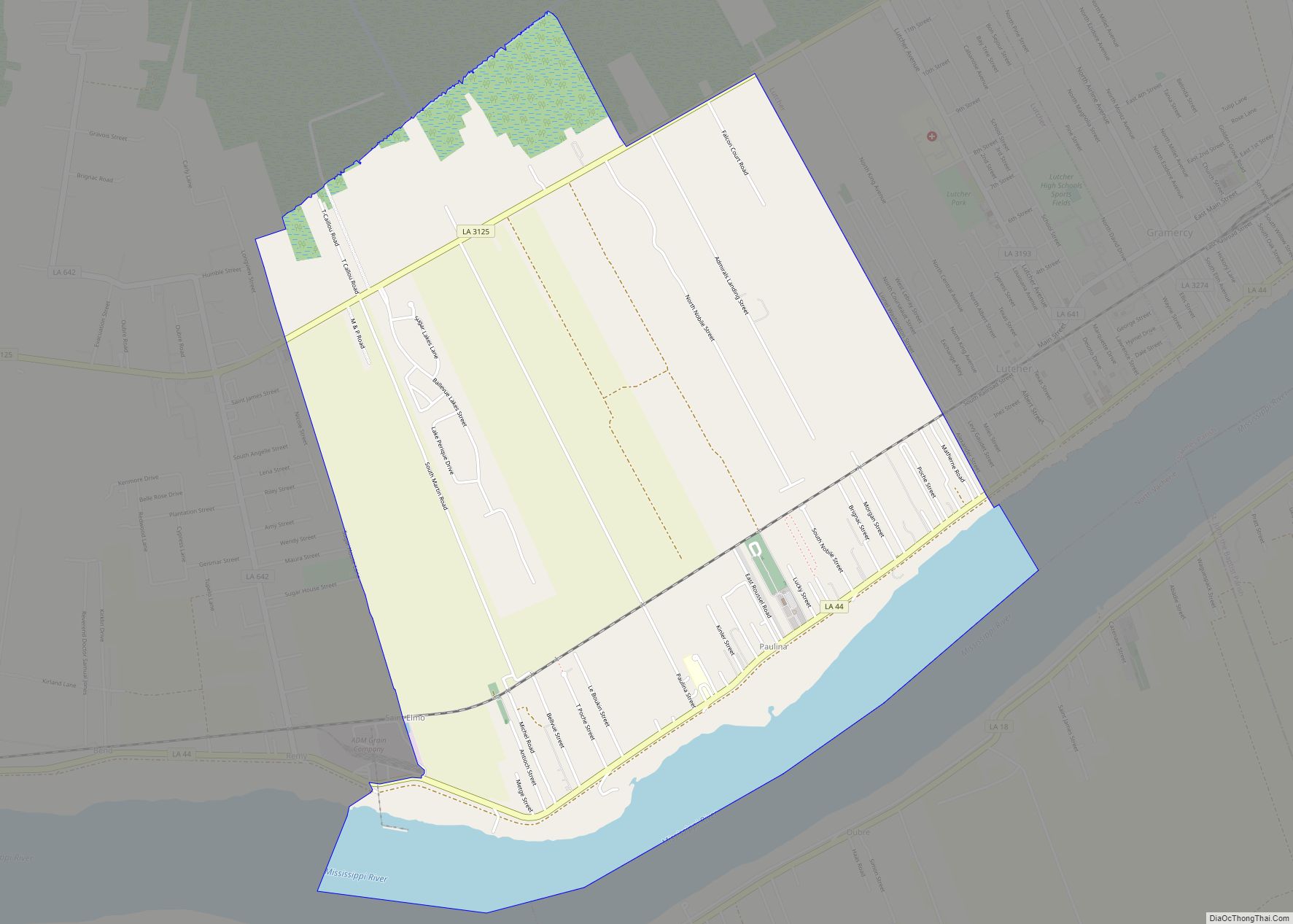
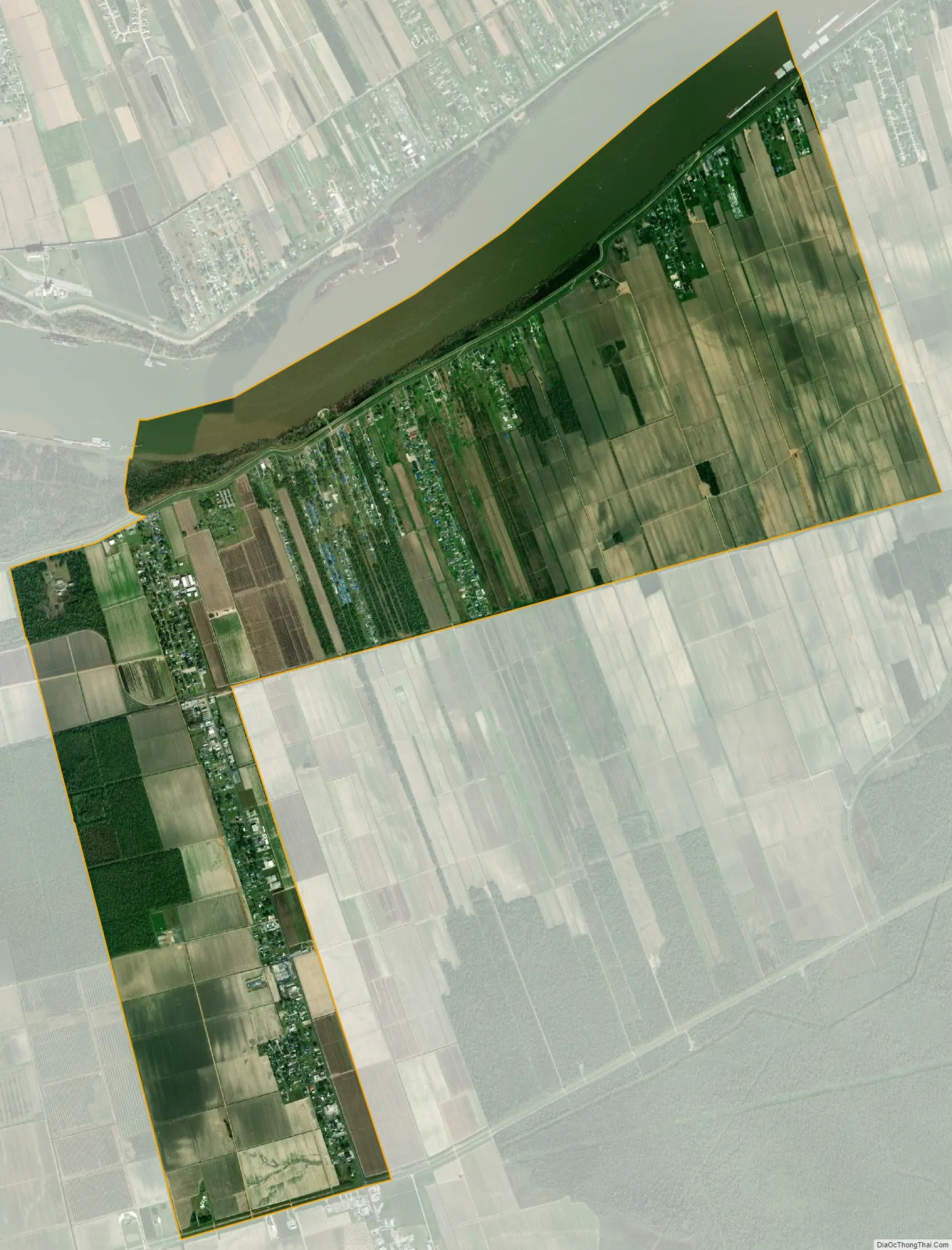
North Vacherie city Satellite Map
Geography
North Vacherie is located at 29°59′36″N 90°42′51″W / 29.99333°N 90.71417°W / 29.99333; -90.71417 (29.993379, -90.714089).
According to the United States Census Bureau, the CDP has a total area of 11.6 square miles (30.1 km), of which 11.0 square miles (28.5 km) is land and 0.6 square mile (1.6 km) (5.25%) is water.
North Vacherie is known more popularly amongst locals as “Front Vacherie.” Officially, both North Vacherie and South Vacherie are known overall as “Vacherie.” South Vacherie is locally known as “Back Vacherie.” The “unofficial” divider is Louisiana Highway 3127 which runs through the town from east to west. Other dividers that are commonly accepted for the dividing line of Front and Back Vacherie are 1) an imaginary line drawn east to west just past the local watering hole “Daiquiri Explosion” and 2) St Patrick’s St which runs east to west, approximately 1 1/8 miles south of LA Hwy. 3127.
See also
Map of Louisiana State and its subdivision:- Acadia
- Allen
- Ascension
- Assumption
- Avoyelles
- Beauregard
- Bienville
- Bossier
- Caddo
- Calcasieu
- Caldwell
- Cameron
- Catahoula
- Claiborne
- Concordia
- De Soto
- East Baton Rouge
- East Carroll
- East Feliciana
- Evangeline
- Franklin
- Grant
- Iberia
- Iberville
- Jackson
- Jefferson
- Jefferson Davis
- La Salle
- Lafayette
- Lafourche
- Lincoln
- Livingston
- Madison
- Morehouse
- Natchitoches
- Orleans
- Ouachita
- Plaquemines
- Pointe Coupee
- Rapides
- Red River
- Richland
- Sabine
- Saint Bernard
- Saint Charles
- Saint Helena
- Saint James
- Saint John the Baptist
- Saint Landry
- Saint Martin
- Saint Mary
- Saint Tammany
- Tangipahoa
- Tensas
- Terrebonne
- Union
- Vermilion
- Vernon
- Washington
- Webster
- West Baton Rouge
- West Carroll
- West Feliciana
- Winn
- Alabama
- Alaska
- Arizona
- Arkansas
- California
- Colorado
- Connecticut
- Delaware
- District of Columbia
- Florida
- Georgia
- Hawaii
- Idaho
- Illinois
- Indiana
- Iowa
- Kansas
- Kentucky
- Louisiana
- Maine
- Maryland
- Massachusetts
- Michigan
- Minnesota
- Mississippi
- Missouri
- Montana
- Nebraska
- Nevada
- New Hampshire
- New Jersey
- New Mexico
- New York
- North Carolina
- North Dakota
- Ohio
- Oklahoma
- Oregon
- Pennsylvania
- Rhode Island
- South Carolina
- South Dakota
- Tennessee
- Texas
- Utah
- Vermont
- Virginia
- Washington
- West Virginia
- Wisconsin
- Wyoming