Norco is a census-designated place (CDP) in St. Charles Parish, Louisiana, United States. The population was 2,984 at the 2020 census. The community is home to a major Shell/Valero manufacturing complex. The CDP’s name is derived from the New Orleans Refining Company.
| Name: | Norco CDP |
|---|---|
| LSAD Code: | 57 |
| LSAD Description: | CDP (suffix) |
| State: | Louisiana |
| County: | St. Charles Parish |
| Elevation: | 10 ft (3 m) |
| Total Area: | 4.04 sq mi (10.45 km²) |
| Land Area: | 3.45 sq mi (8.93 km²) |
| Water Area: | 0.59 sq mi (1.52 km²) |
| Total Population: | 2,984 |
| Population Density: | 865.18/sq mi (334.04/km²) |
| Area code: | 985 |
| FIPS code: | 2255525 |
Online Interactive Map
Click on ![]() to view map in "full screen" mode.
to view map in "full screen" mode.
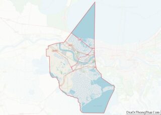
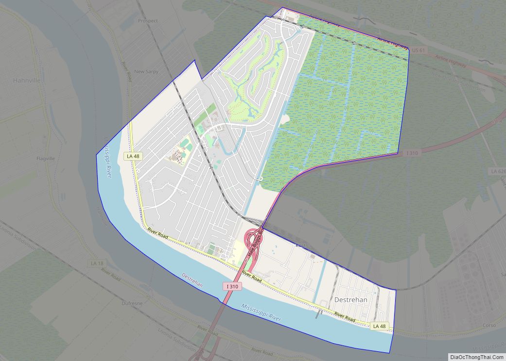
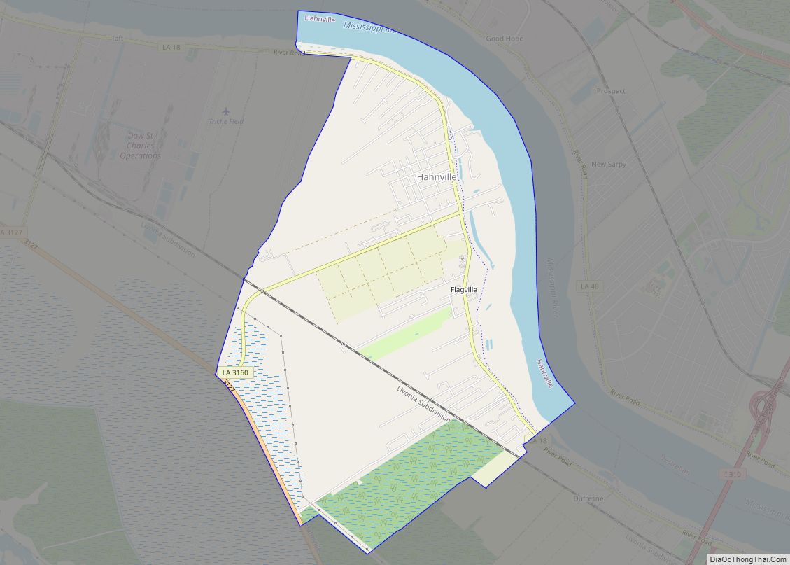
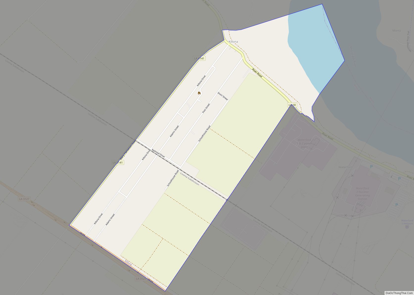
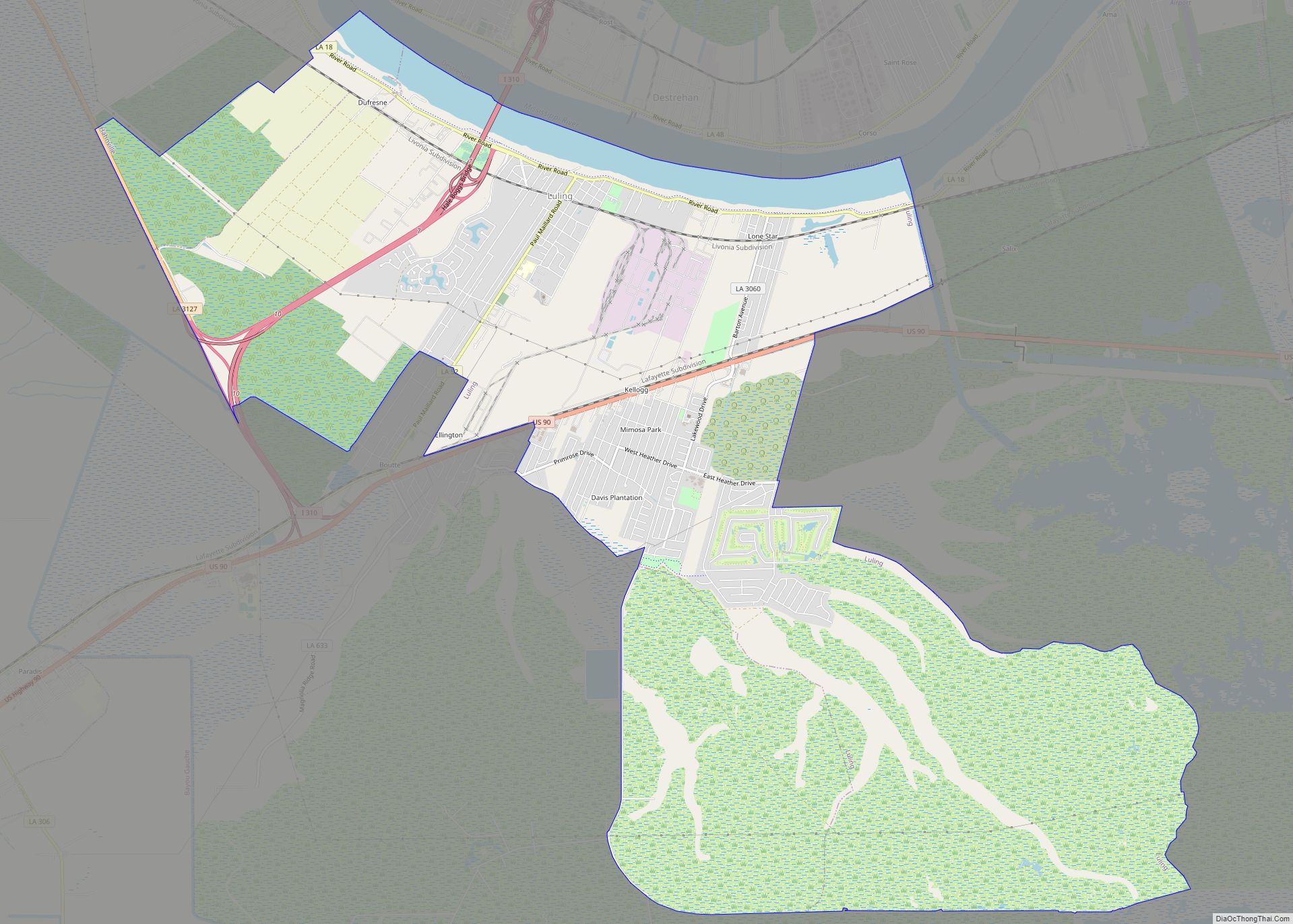
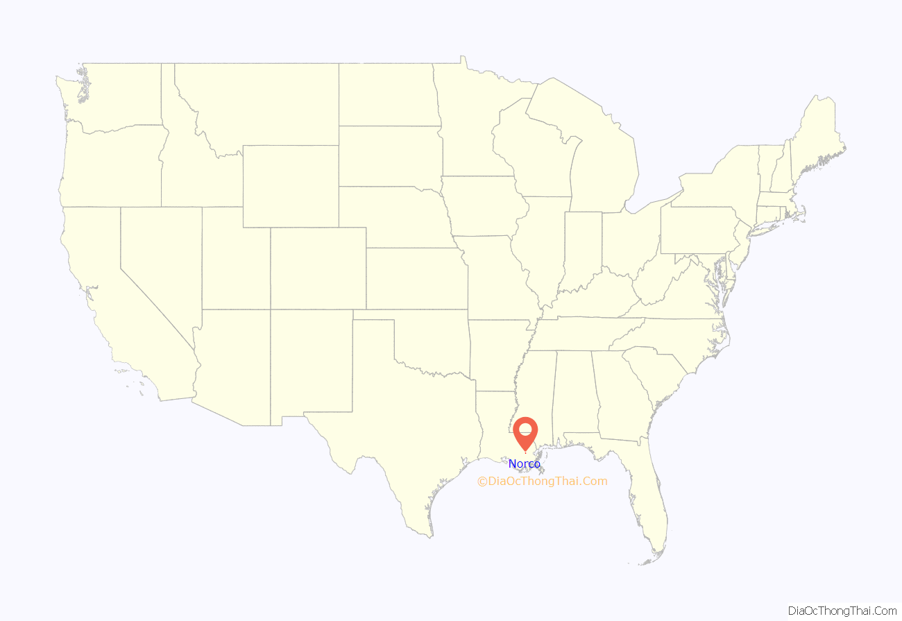
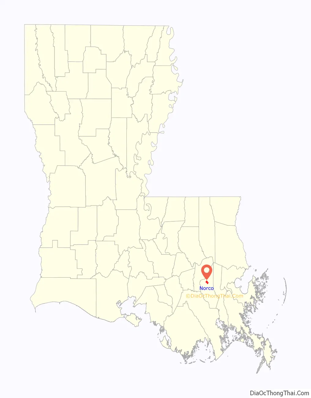
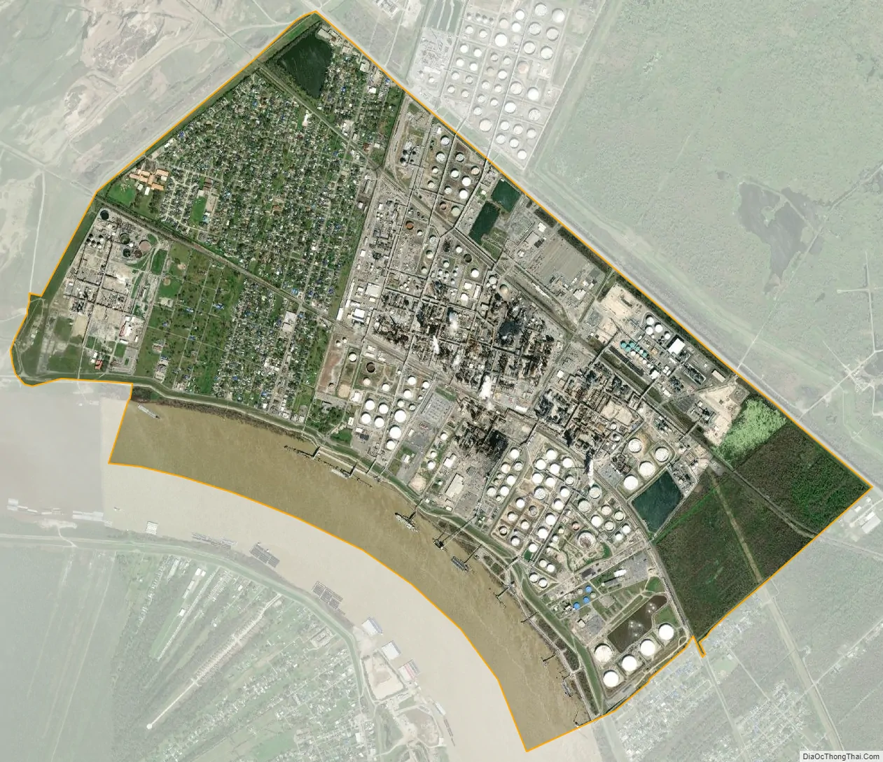
Norco location map. Where is Norco CDP?
History
By the late 18th century, French and European colonial settlers had established numerous sugar cane plantations. They imported enslaved Africans as laborers. As sugar cane cultivation was highly labor-intensive, the slave population greatly outnumbered the ethnic Europeans in the colony, a circumstance that continued after the Louisiana Purchase by the United States in 1803.
On January 8, 1811, planters were alarmed by the German Coast Uprising led by Charles Deslondes, a free person of color from Haiti (formerly the French colony of Saint-Domingue). It was the largest slave uprising in US history, though it resulted in few white fatalities. Deslondes and his followers had been influenced by the ideas of the French and Haitian revolutions. In 1809–1810, French-speaking refugees from the Revolution immigrated by the thousands to New Orleans and Louisiana: white planters and their slaves, and free people of color, adding to the French Creole, African and free people of color populations.
Deslondes led followers to the plantation of Col. Manuel André, where they had hoped to seize stored arms, but those had been moved. The band traveled downriver, gathering more slaves for the insurrection as they marched. They were armed simply with hand tools and accompanied their progress by drums. More than 200 men participated in the uprising; they killed two white men on their march toward New Orleans. The alarm was raised, and both militia and regular troops were called out by Gov. William C.C. Claiborne to put down the short-lived revolt. The white militia and troops killed 95 slaves in total, many immediately and others in executions after quick trials.
Since 1995 members of the African American History Alliance of Louisiana have gathered annually at Norco in January to commemorate the events of the German Coast Uprising, when men of color reached for freedom decades before the American Civil War and emancipation. They have been joined by descendants of the insurgents.
In 1942, a Catholic Church, Sacred Heart of Jesus Church, was founded.
In 2021, Hurricane Ida passed through the area, leaving the oil refineries/chemical plants spewing toxic chemicals through flaring.
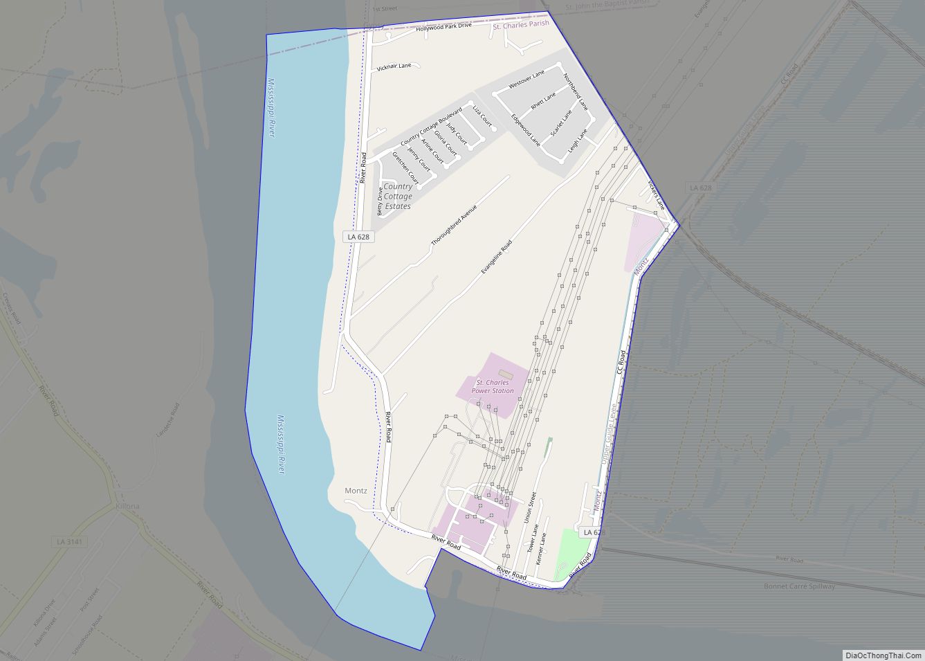
Norco Road Map
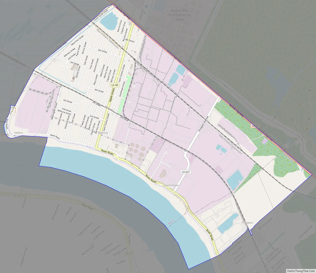
Norco city Satellite Map
Geography
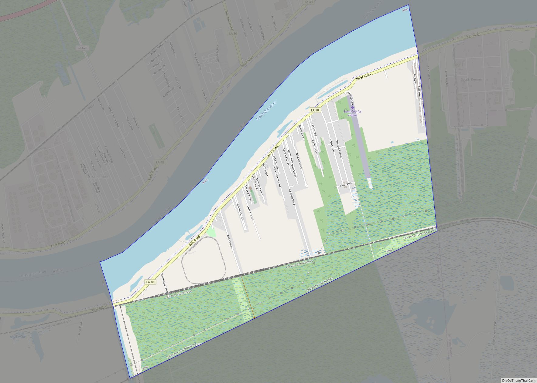
Norco is located at 30°0′14″N 90°24′39″W / 30.00389°N 90.41083°W / 30.00389; -90.41083 (30.003753, -90.410824). The city is situated on the eastern edge of the large Bonnet Carré Spillway, which provides for an outlet from the Mississippi River to Lake Pontchartrain during flooding of the river.
According to the United States Census Bureau, the CDP has a total area of 3.4 square miles (8.8 km), of which 3.0 square miles (7.8 km) is land and 0.4 square miles (1.0 km) (12.83%) is water.
There are two distinct neighborhoods in Norco, one of which is ‘Diamond’ that spans about four blocks and it is 100% African American and the other neighborhood in Norco is 98% white.
See also
Map of Louisiana State and its subdivision:- Acadia
- Allen
- Ascension
- Assumption
- Avoyelles
- Beauregard
- Bienville
- Bossier
- Caddo
- Calcasieu
- Caldwell
- Cameron
- Catahoula
- Claiborne
- Concordia
- De Soto
- East Baton Rouge
- East Carroll
- East Feliciana
- Evangeline
- Franklin
- Grant
- Iberia
- Iberville
- Jackson
- Jefferson
- Jefferson Davis
- La Salle
- Lafayette
- Lafourche
- Lincoln
- Livingston
- Madison
- Morehouse
- Natchitoches
- Orleans
- Ouachita
- Plaquemines
- Pointe Coupee
- Rapides
- Red River
- Richland
- Sabine
- Saint Bernard
- Saint Charles
- Saint Helena
- Saint James
- Saint John the Baptist
- Saint Landry
- Saint Martin
- Saint Mary
- Saint Tammany
- Tangipahoa
- Tensas
- Terrebonne
- Union
- Vermilion
- Vernon
- Washington
- Webster
- West Baton Rouge
- West Carroll
- West Feliciana
- Winn
- Alabama
- Alaska
- Arizona
- Arkansas
- California
- Colorado
- Connecticut
- Delaware
- District of Columbia
- Florida
- Georgia
- Hawaii
- Idaho
- Illinois
- Indiana
- Iowa
- Kansas
- Kentucky
- Louisiana
- Maine
- Maryland
- Massachusetts
- Michigan
- Minnesota
- Mississippi
- Missouri
- Montana
- Nebraska
- Nevada
- New Hampshire
- New Jersey
- New Mexico
- New York
- North Carolina
- North Dakota
- Ohio
- Oklahoma
- Oregon
- Pennsylvania
- Rhode Island
- South Carolina
- South Dakota
- Tennessee
- Texas
- Utah
- Vermont
- Virginia
- Washington
- West Virginia
- Wisconsin
- Wyoming